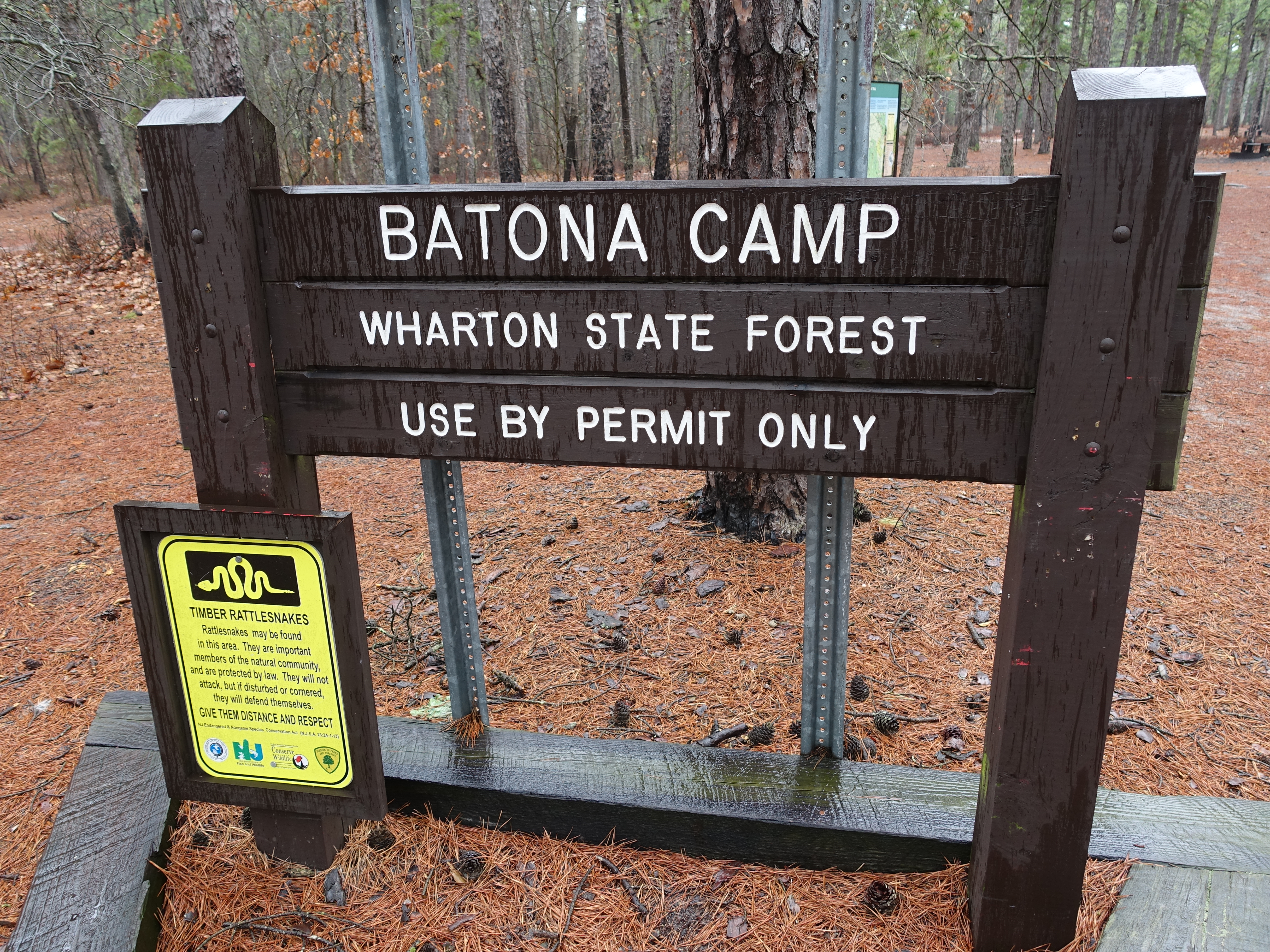
My hike throught the Pine Barrens was primarily on the Batona trail, which stands for "Back to Nature". It's the longest trail in Southern NJ at around 58 miles…
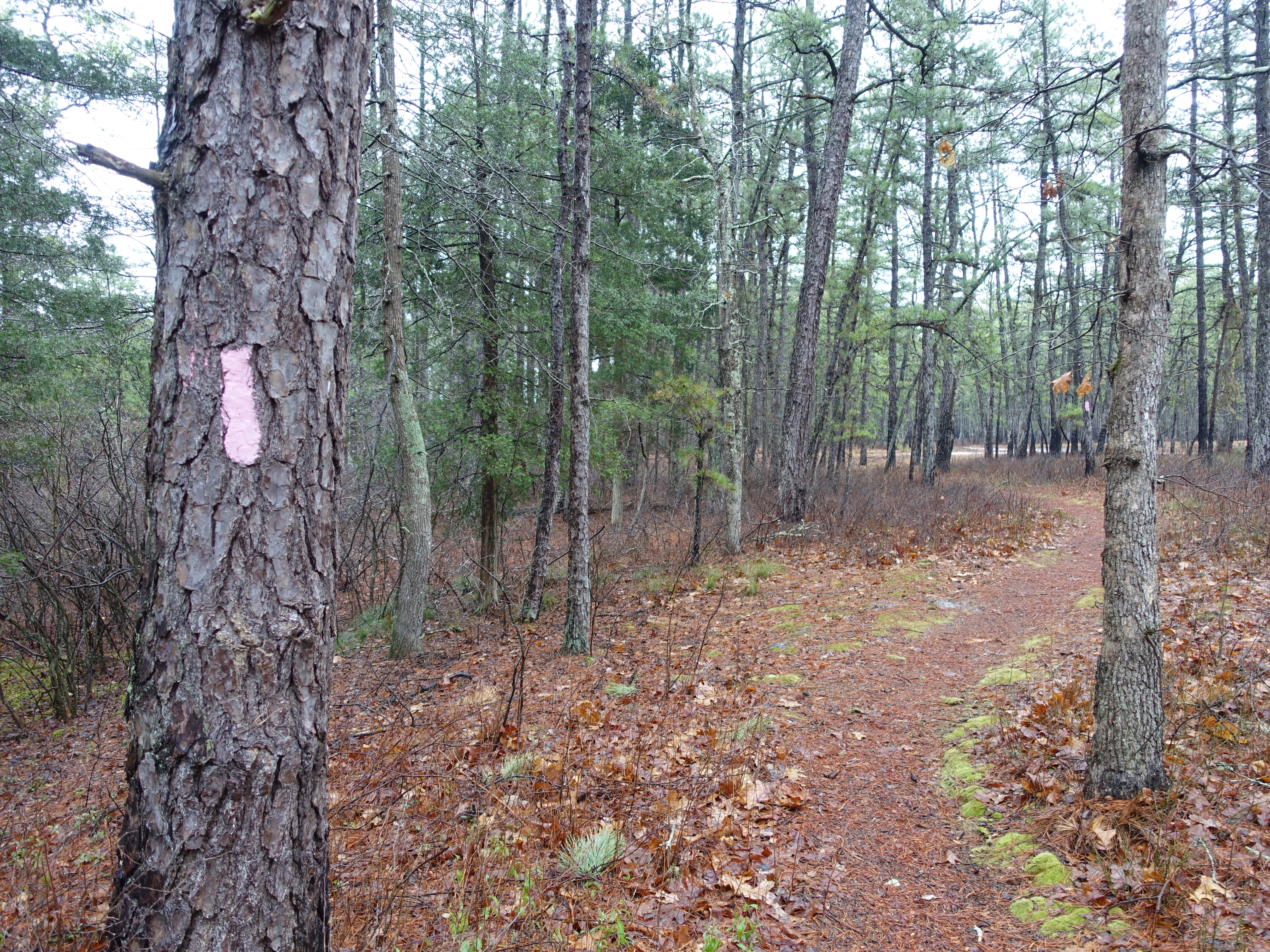
The Batona trail is marked prominently with pink blazes. Most of the trail systems around here (as with Europe) seem to rely on the blaze system of marking…
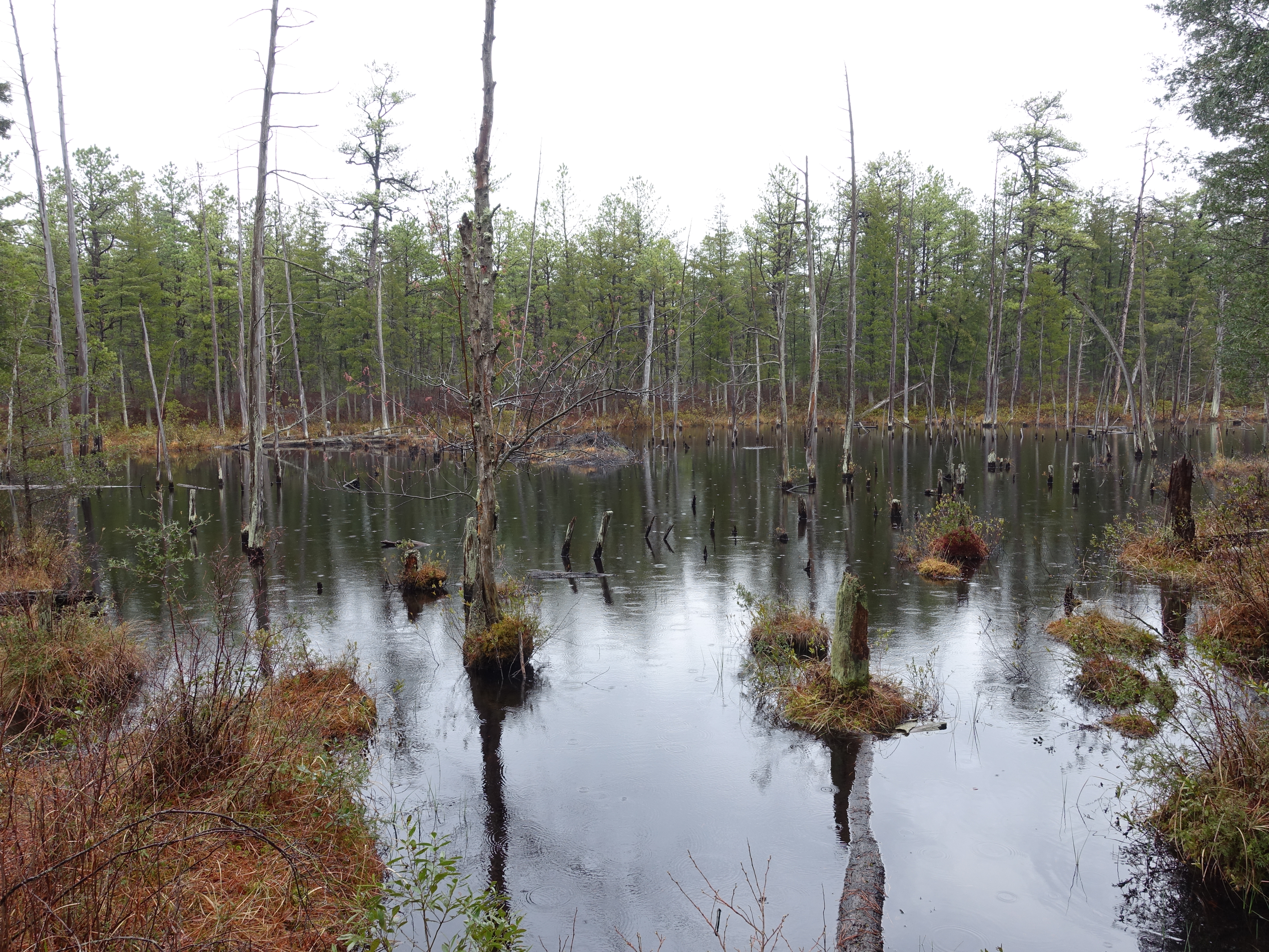
There are bogs scattered throughout the Pine Barrens with the forest growing right out of the bog in many places.
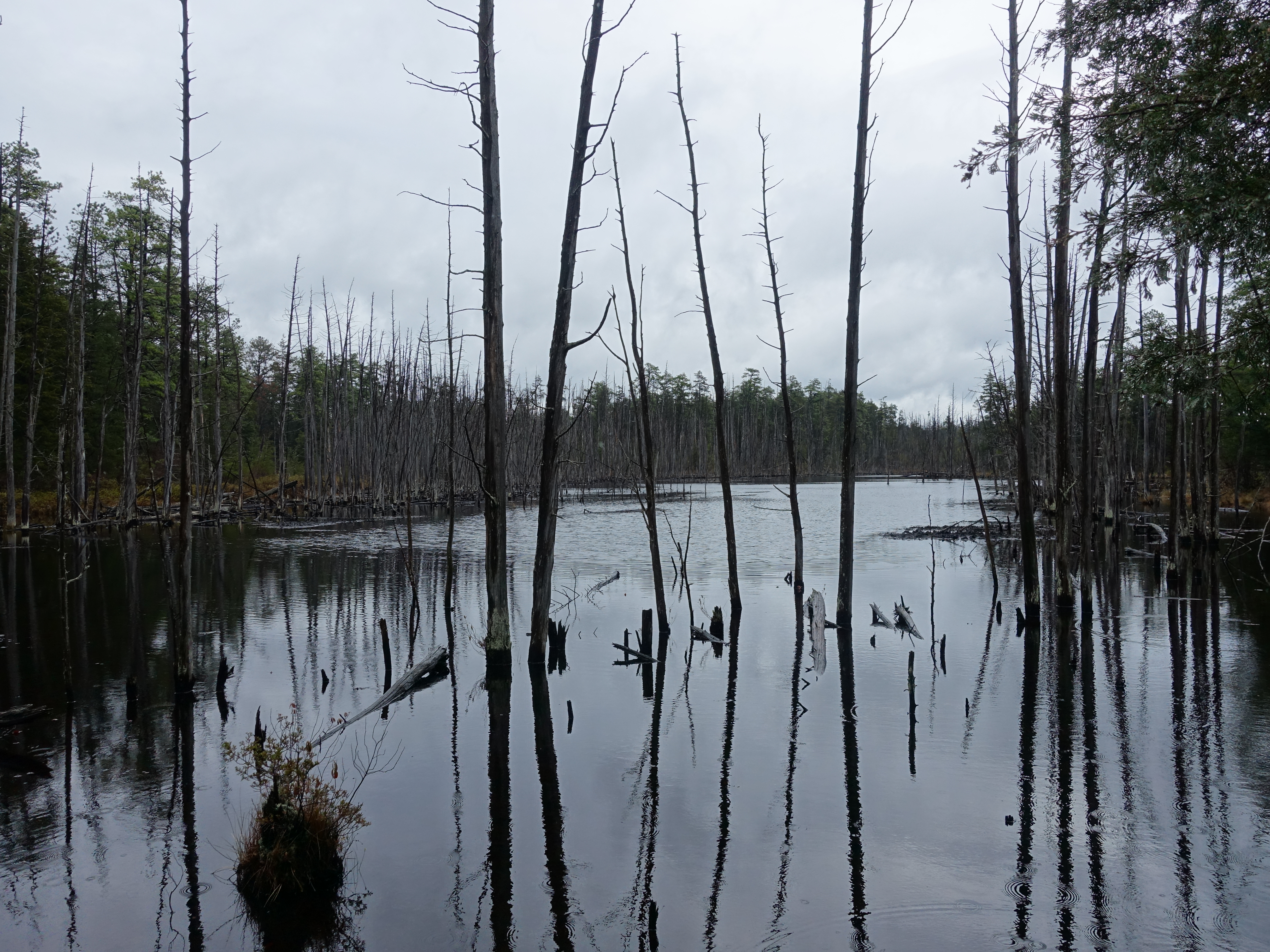
The bogs make for great scenery.
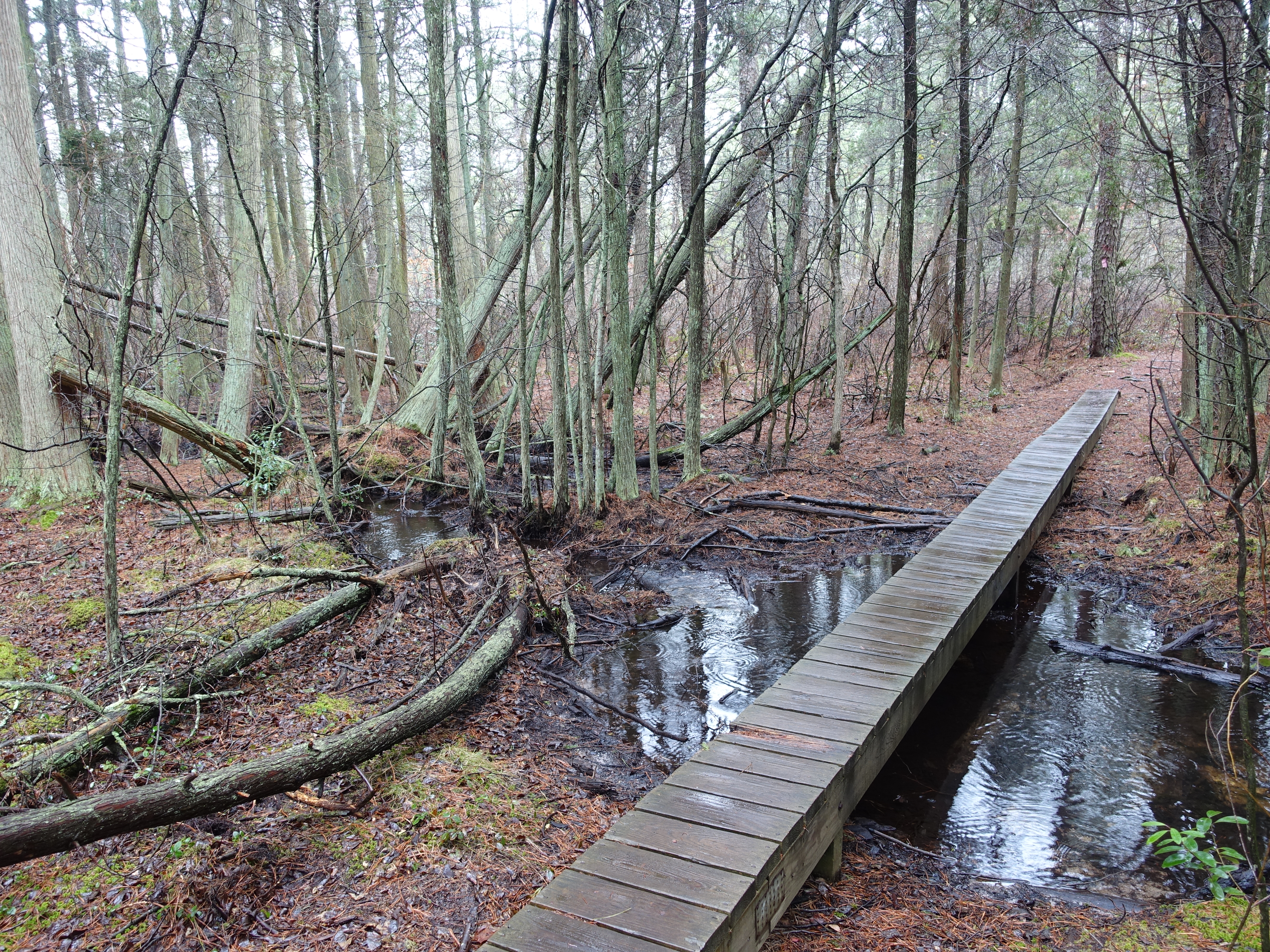
Footbridges protect some of the wetter areas around the trail.
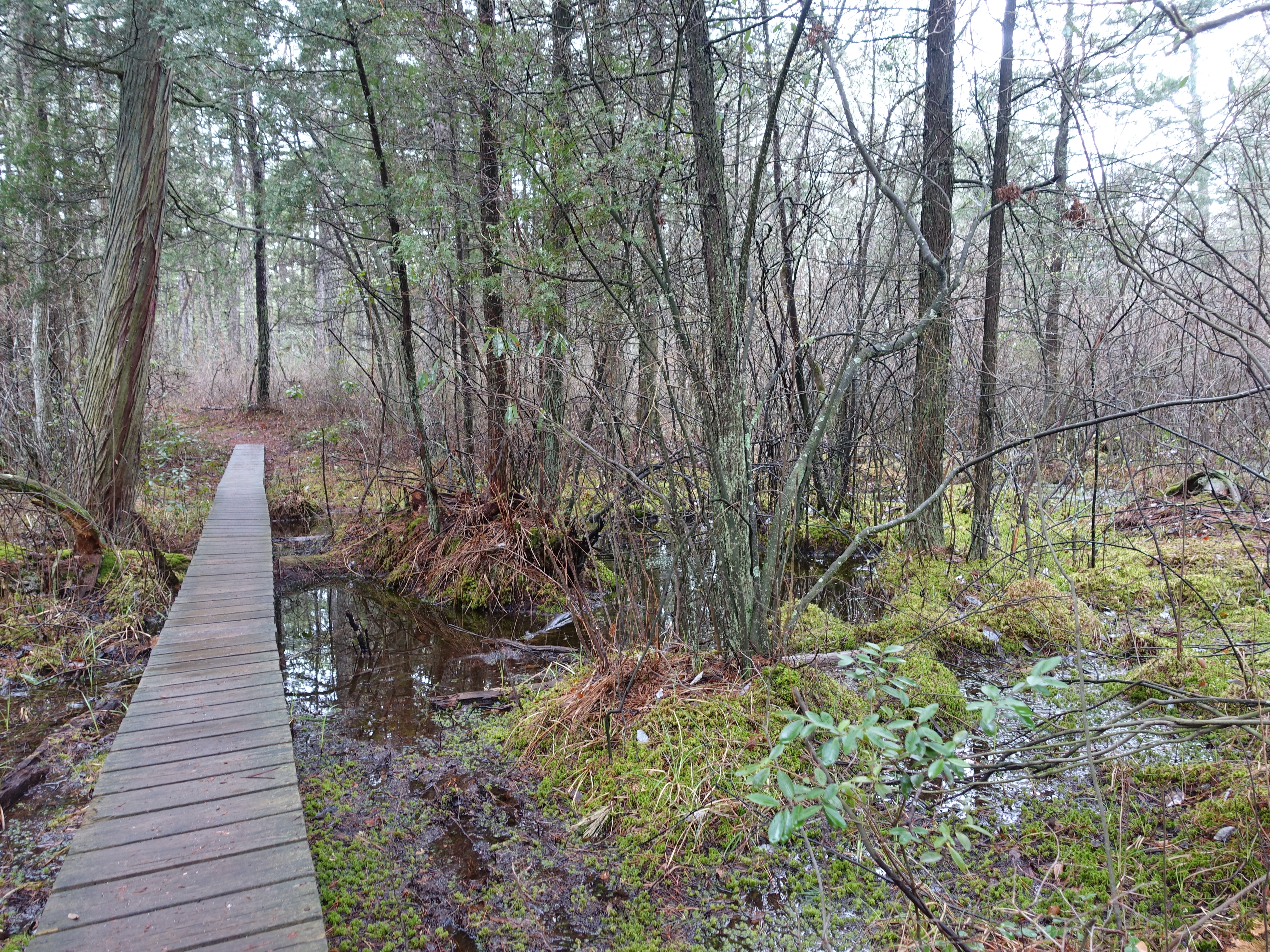
More footbridge and some great, swampy green terrain.
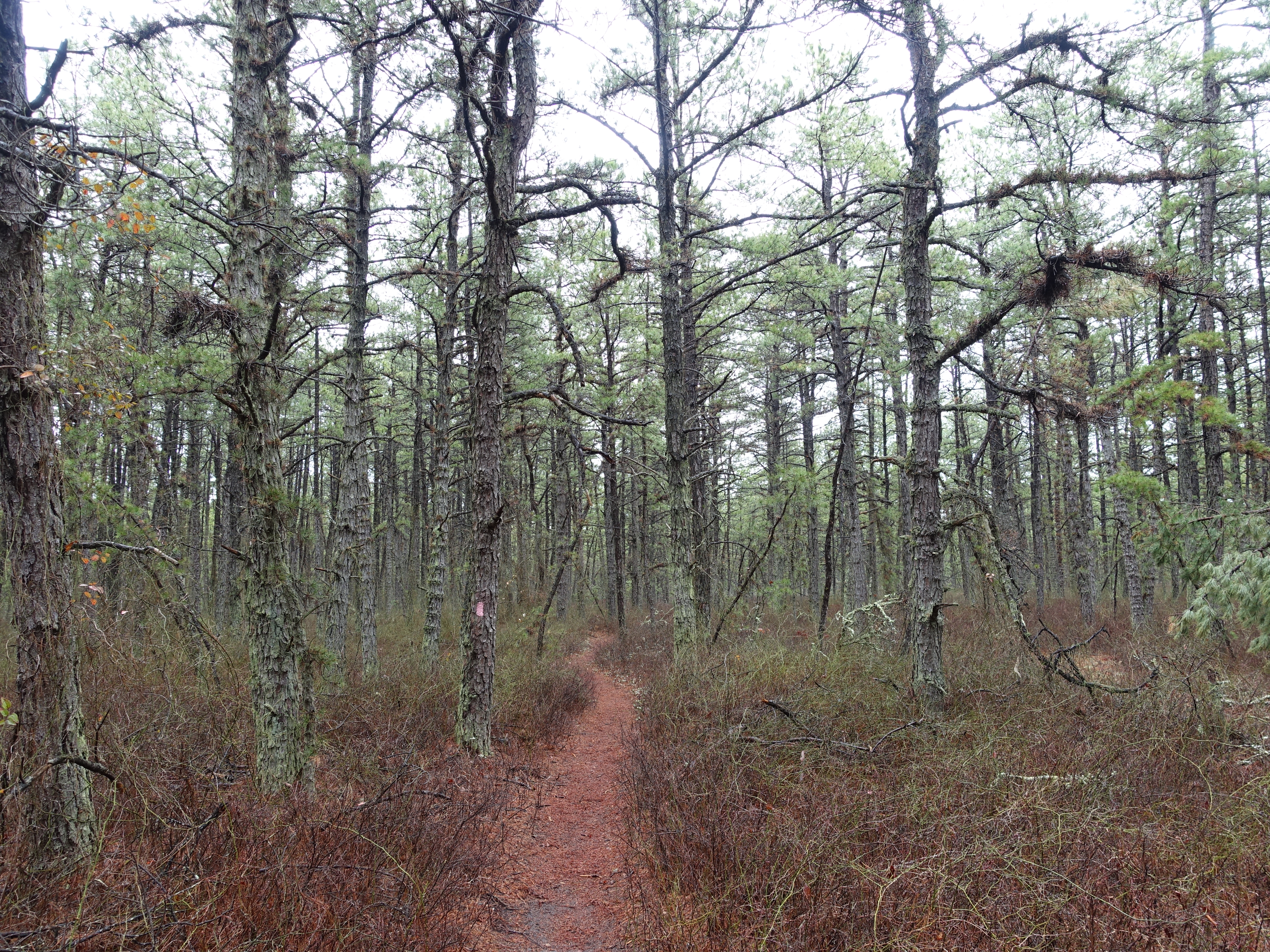
I love the red and green color contrasts. The trail is extremely flat, but interesting nonetheless.

More colors. Most of Wharton State Forest is much like this.
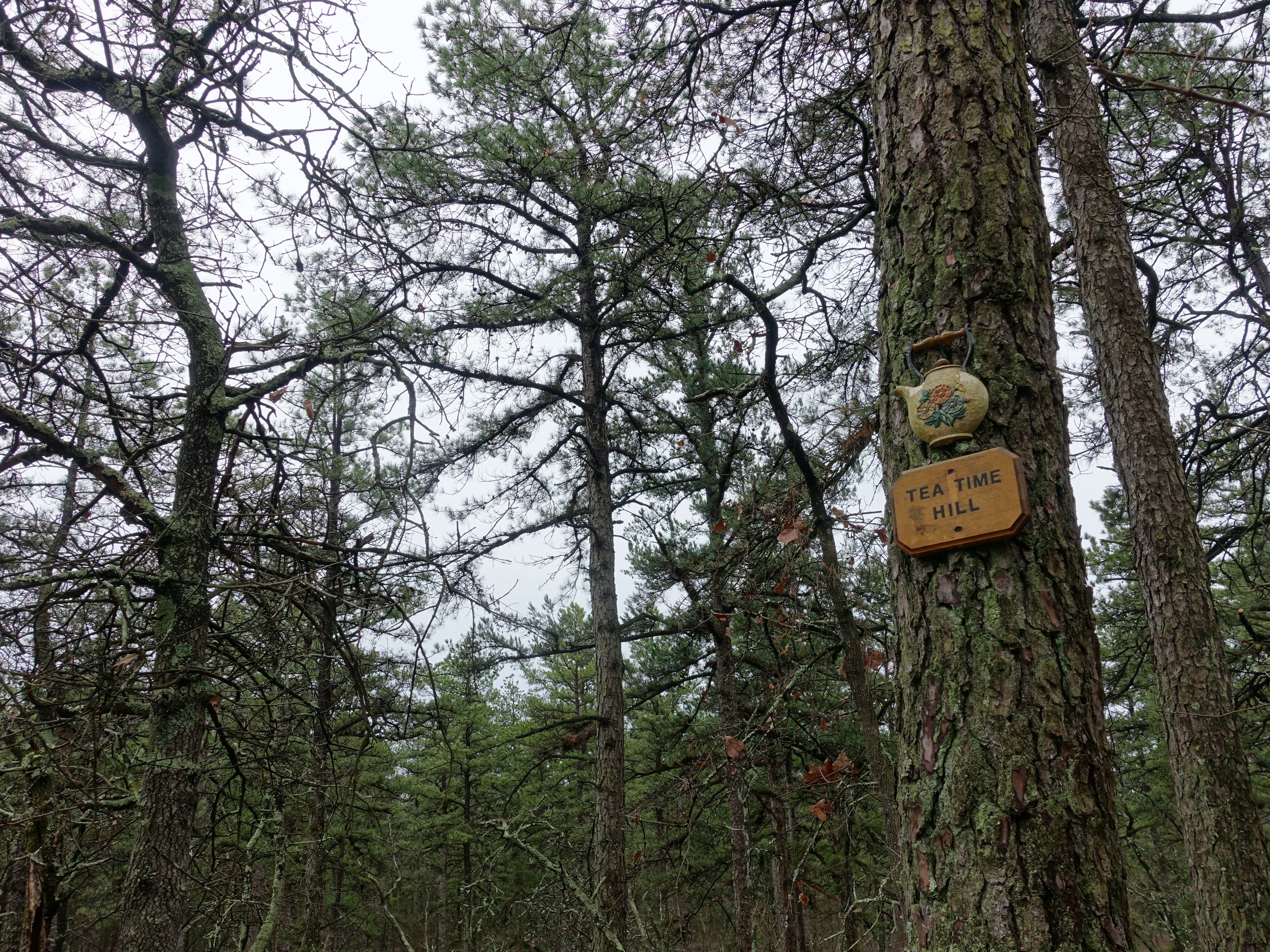
I'm not sure of the history behind the name, but it's a cool trail sign.

Made it to Apple Pie Hill, the highest point in the entire Pine Barren region at only 205' above sea level. Because the land is so incredibly flat, the hill…
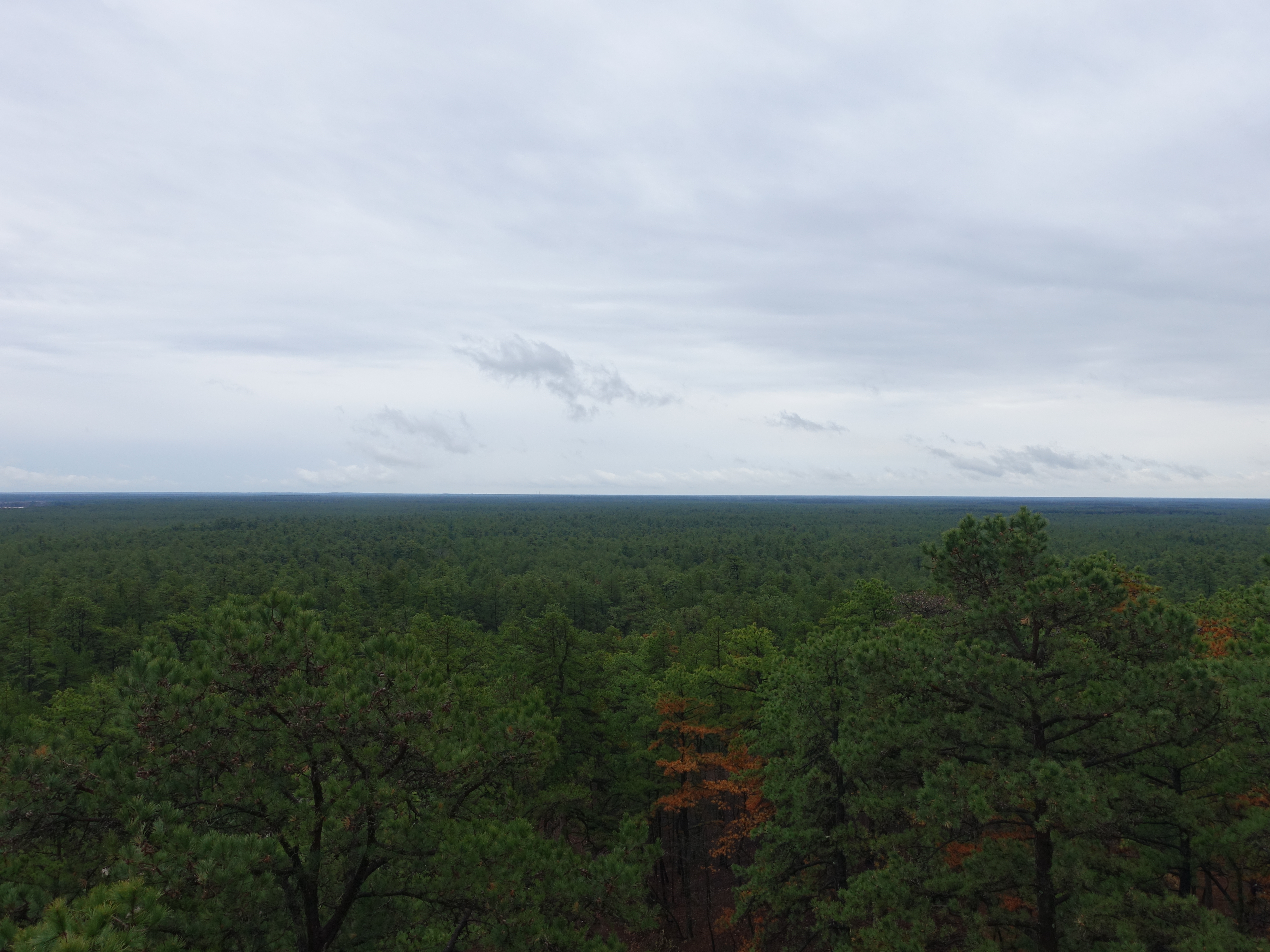
I made it up without too much trouble (at least to the top of the stairs since the room on top is locked). The sides are completley open, so it's definitely not…

Another view from the top. You can just barely see the Philadelphia city skyline on the horizon (it's clearer in person). Those buildings are about 90 miles…

360 video from my "summit" for the day.
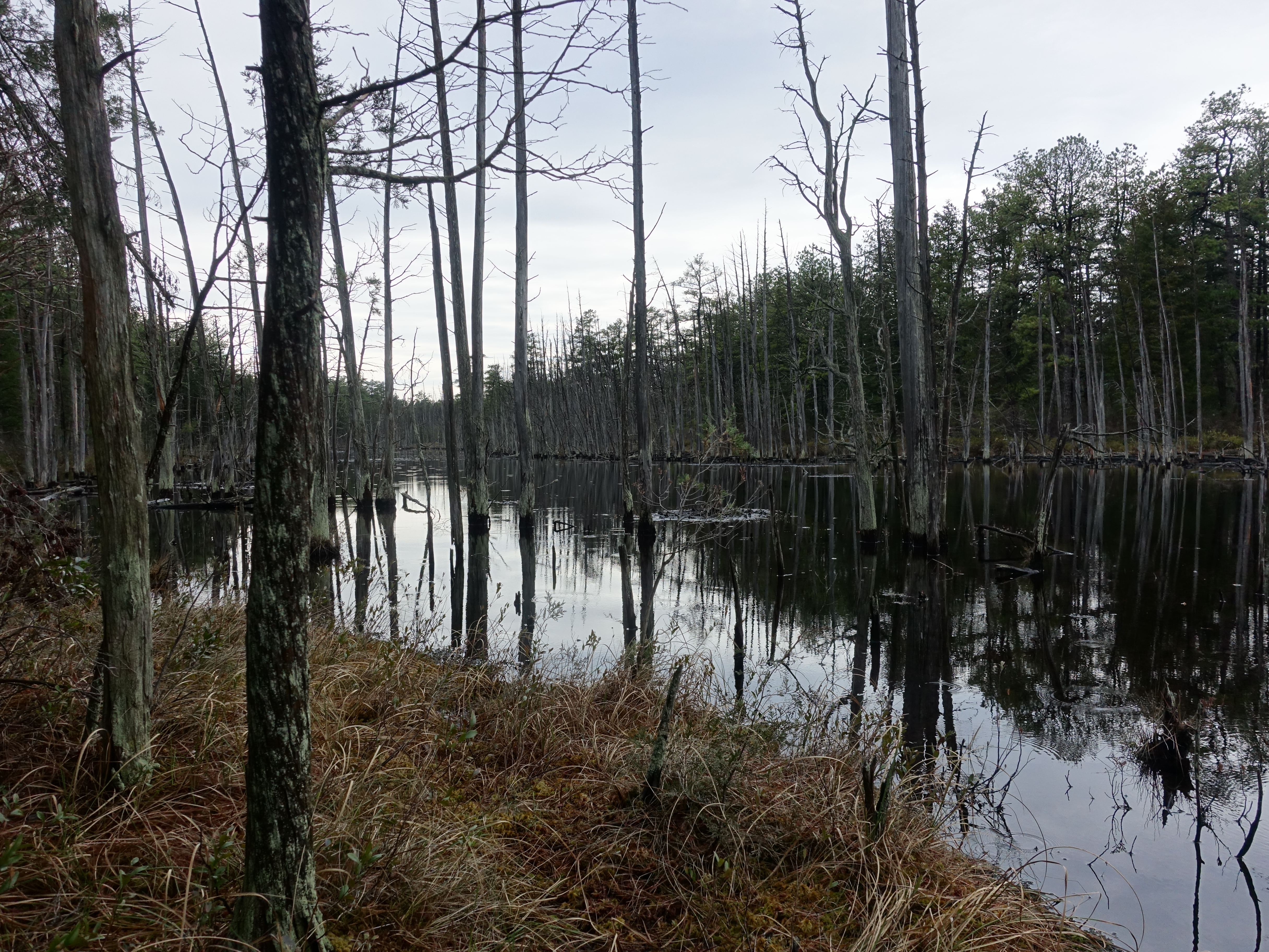
Heading back as the rain is starting to fall on the bogs.
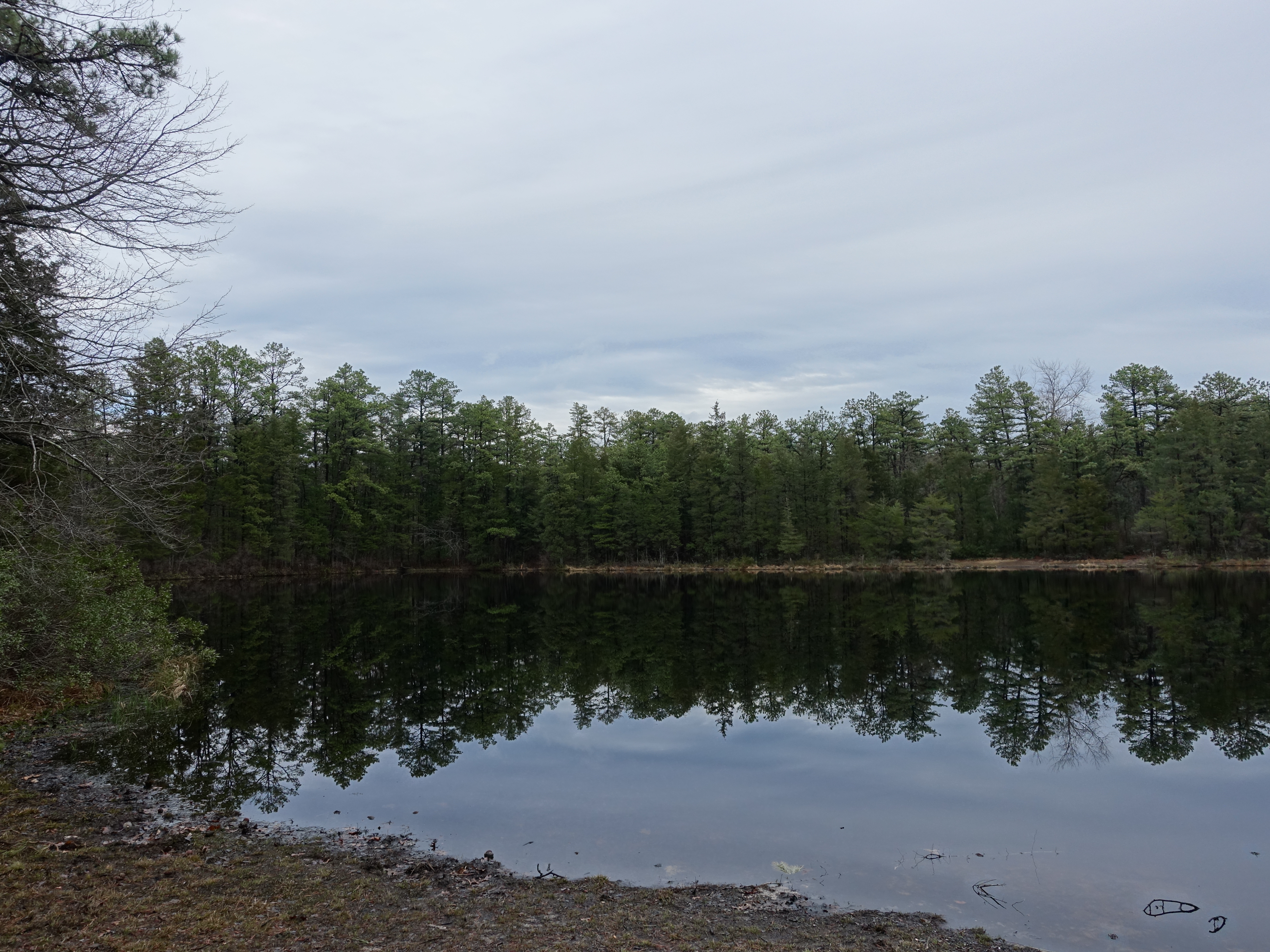
I made it back to the traihead with plenty of time left in the day, so I decided to find some more trail. I ended-up heading out to Pakim Pond in Brendan T.…
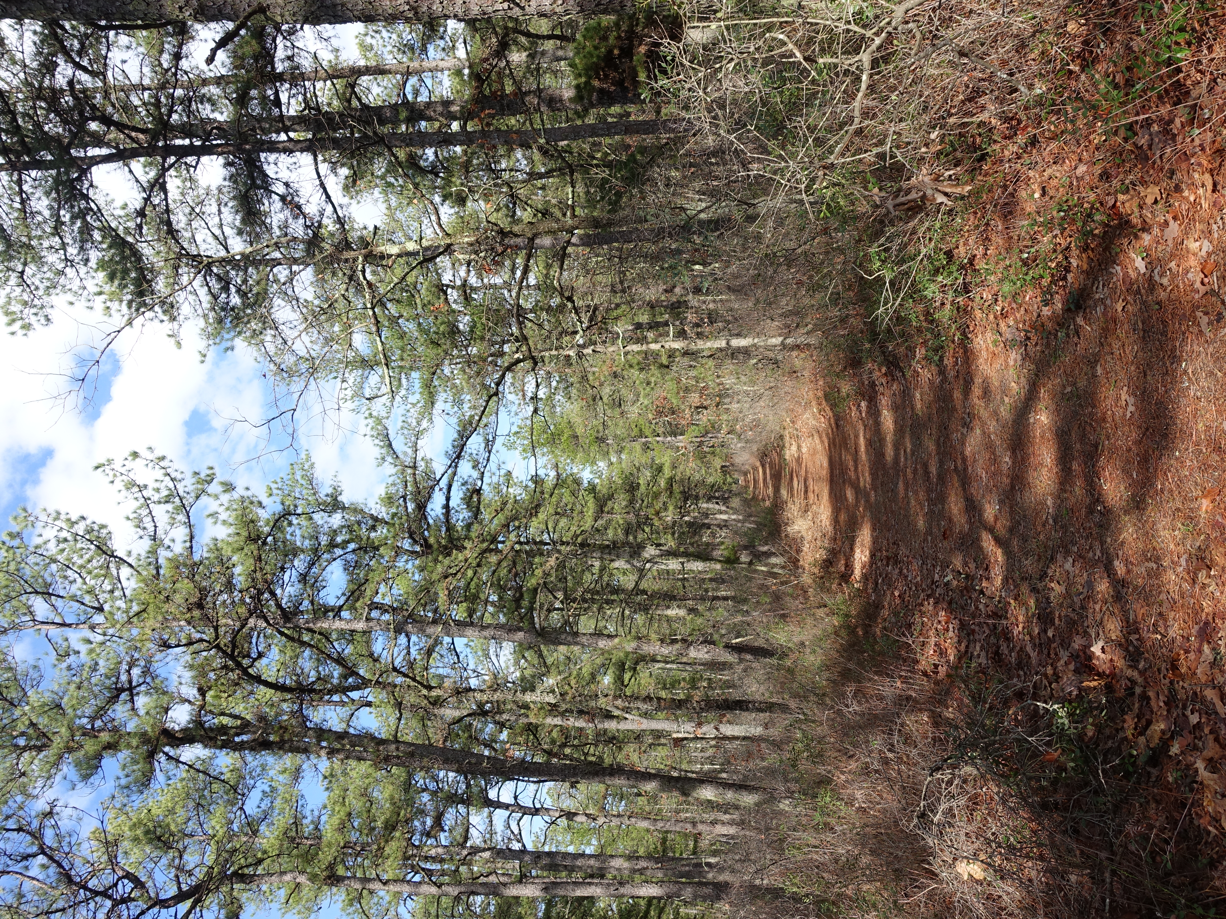
Heading off on the Mt. Misery trail, which crosses the Batona trail in places.
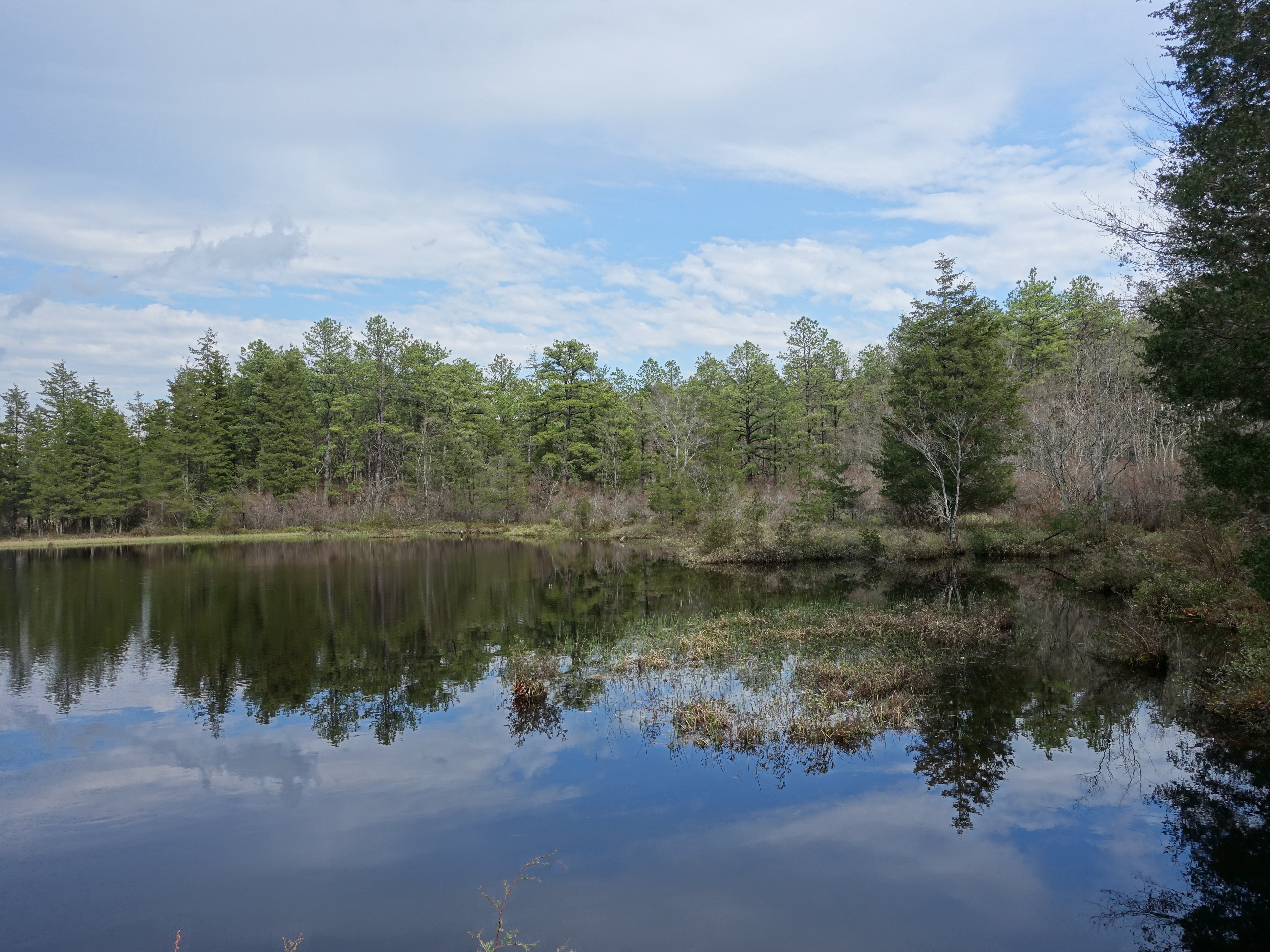
The trail leads out to an area of old cranberry bogs. New Jersey is still a leading producer of cranberries though this area has been restored and is evidently…
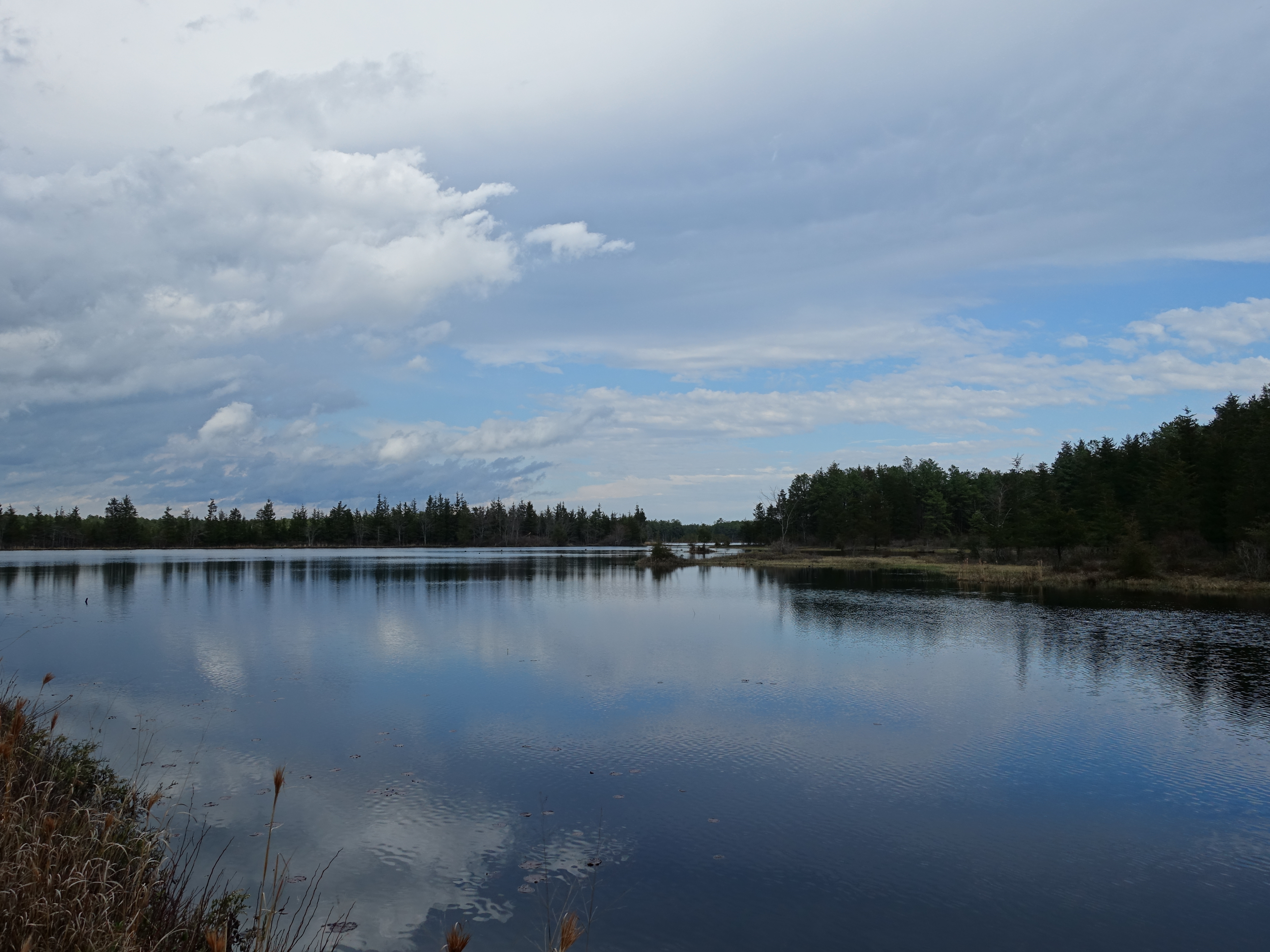
Beautiful ponds and bogs.
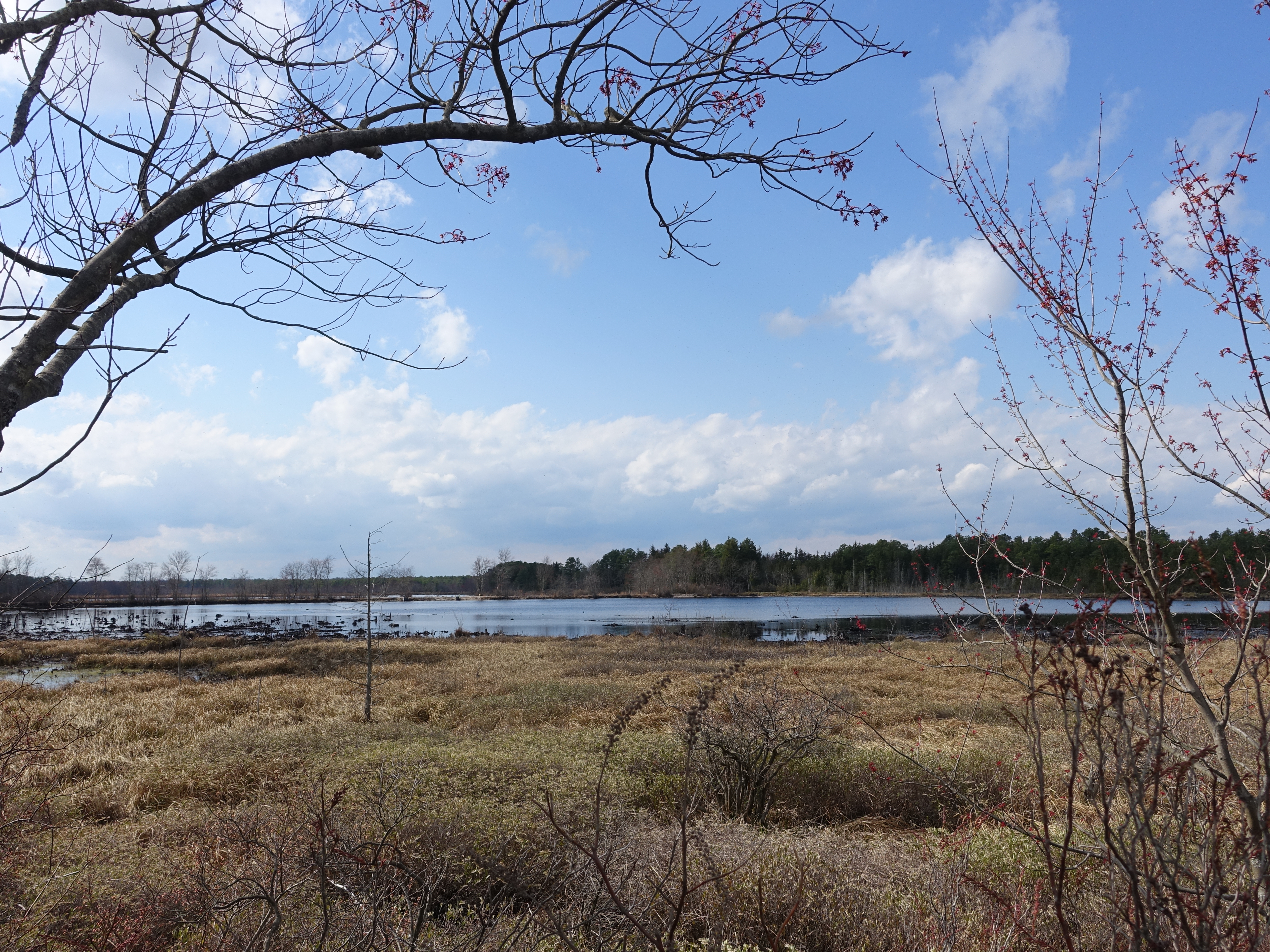
It would be fun to see what this area looked like when the cranberry fields were still active.

Love the lighting as the sun is starting to get low.