3/11/11 A rare chance to be in snow on top of local Santiago Peak. I had to take advantage of the opportunity! A spontaneous change of plans meant I ended-up having to take the Joplin trail to the top rather than Holy Jim. Over 24 miles and almost 6000' of total elevation gain. A grueling day, but well worth it in the end.
1 
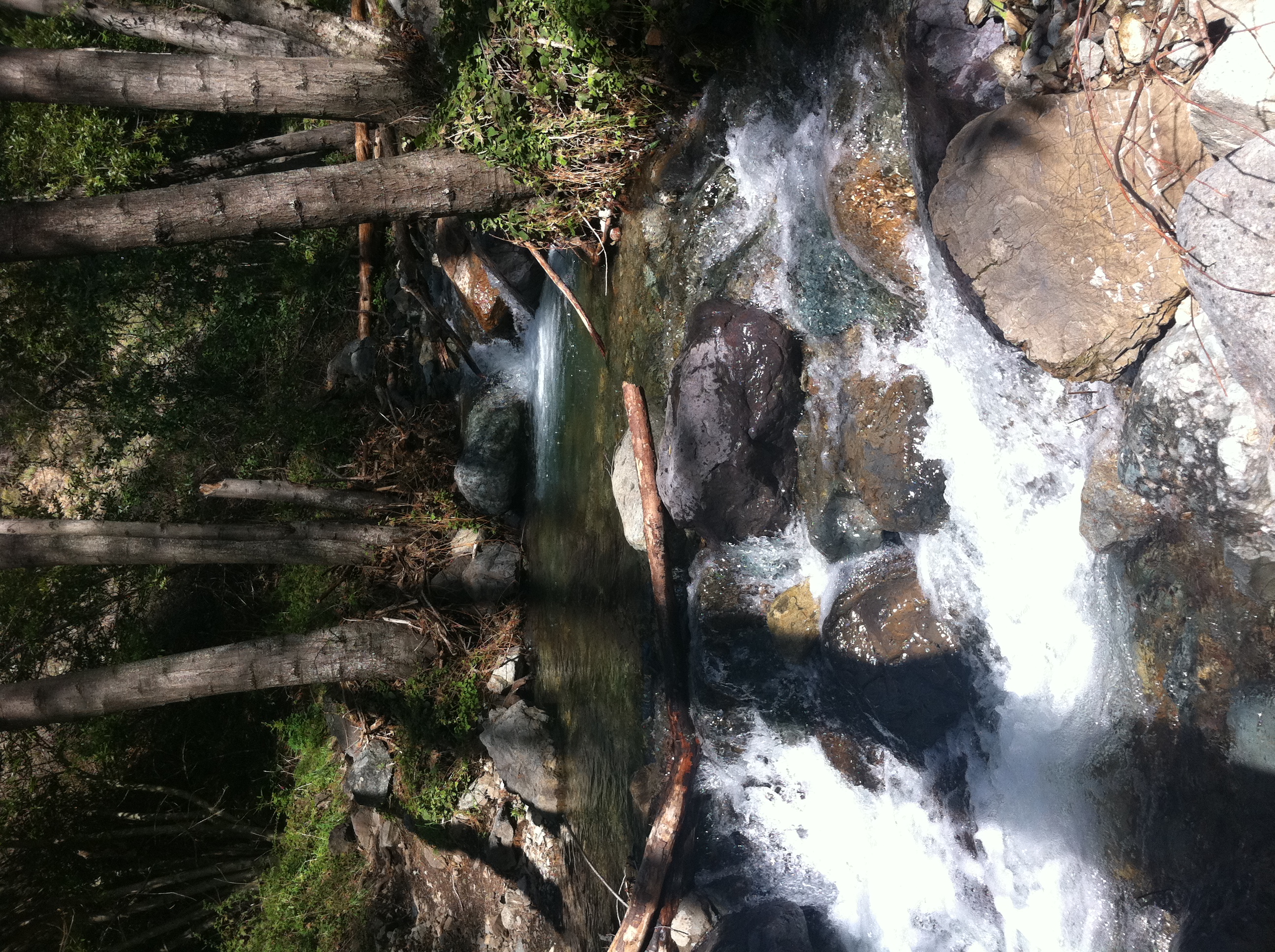
The original plan was to take Holy Jim to the top. But, as I start to head-up Trabuco Creek "road", I start to see scenes like this. A random cascade alongside the road where I've never seen a drop of water before. I start to get the feeling this wouldn't be a normal Holy Jim day.
2 By the time I get close to the first wash about half way to the Holy Jim trailhead, I pass a "Road Closed" sign and barricade. I drive around it thinking "ya right". Once I hit the wash though, the gate is closed, and there is a Ranger and his truck guarding it. He says they have heavy equipment still clearing the road and can't let anyone on it. I beg and plead, but he won't let me pass, not even on foot. I finally give up and just snap a picture from over the gate. I've been here when this spot was just wet, not even really flowing. You can't get a sense of the velocity of the water in the picture, but it's roaring! And the ranger said it was 2 feet higher a couple days earlier. I wouldn't want to go across that in a small car.
3 Almost back to the main road, dissapointed for having driven all the way out here and being turned back. I've never seen a drop of water here, and there's a pretty good flow going now. I came very close to just calling it a day at this point, but I was determined to see snow on top of Santiago! I didn't have my trail map with me (dumb), but I had the iPhone and was able to find an alternate route to the top. So, I was on my way to find the Joplin trailhead.
4 
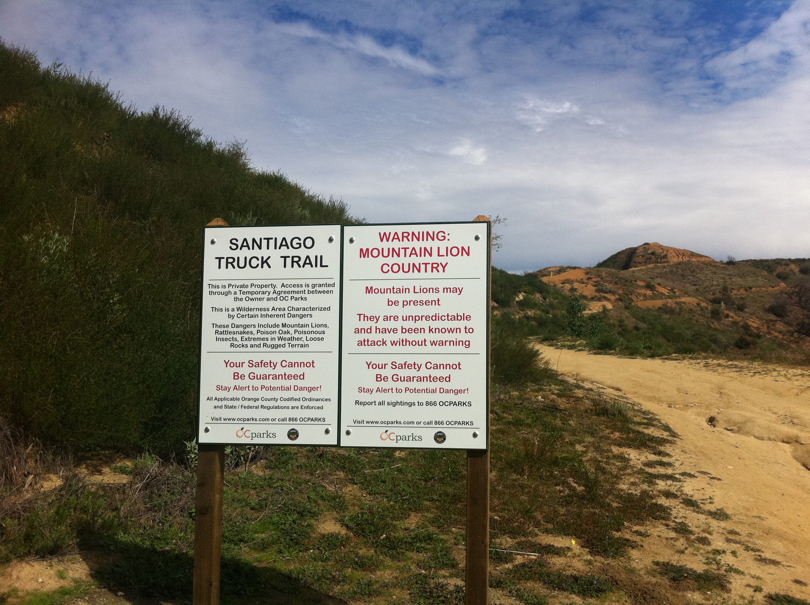
After driving around for a while trying to find the trailhead, I finally park on the main road and start hiking up. I find the Santiago Truck Trail, which is the entry point to the Joplin Trail, my route for the day. I'm really not sure what the distance is to the top. I only have gear for the routine Holy Jim route. I have no map, no headlamp, no extra gear, not much food, and a bit less than 2L of water. And it's already 11:15am. Should be an interesting day.
5 
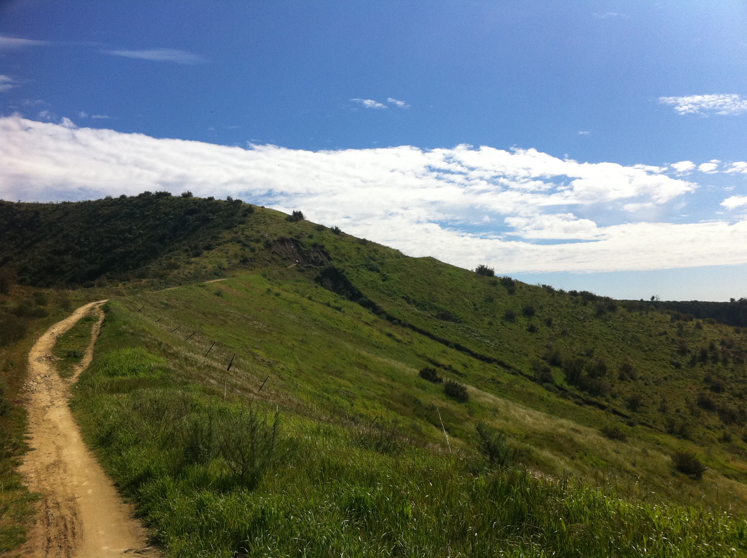
A good look at the Joplin trail winding up through the hills. Everything is nice and green.
6 More green valleys.
7 
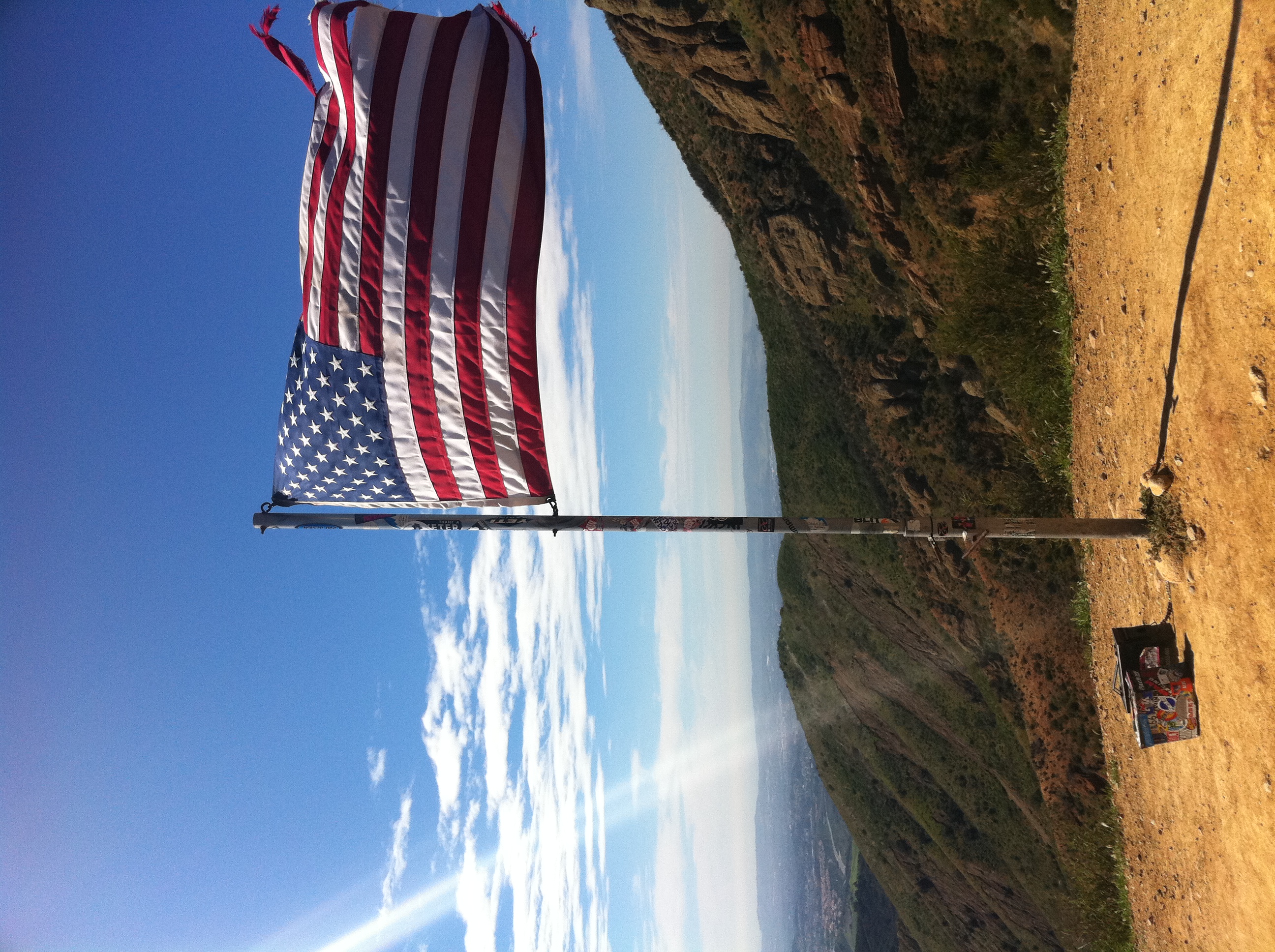
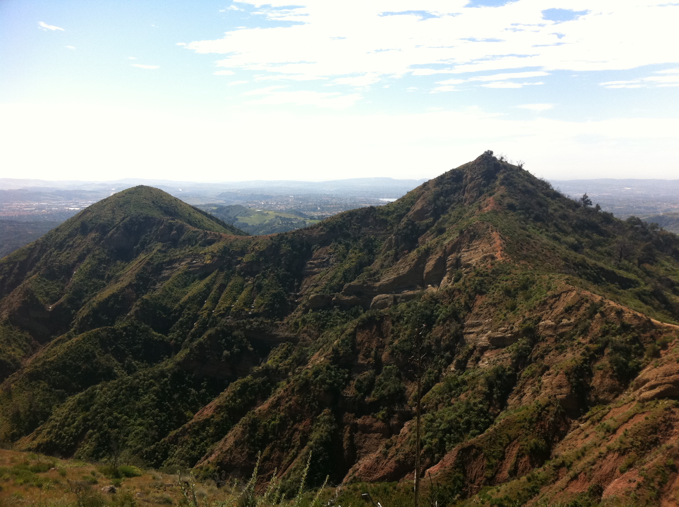
I'm not sure what peak this is, but it's complete with a summit flag and sign-in box. It's not much of a climb to this point though.
8 
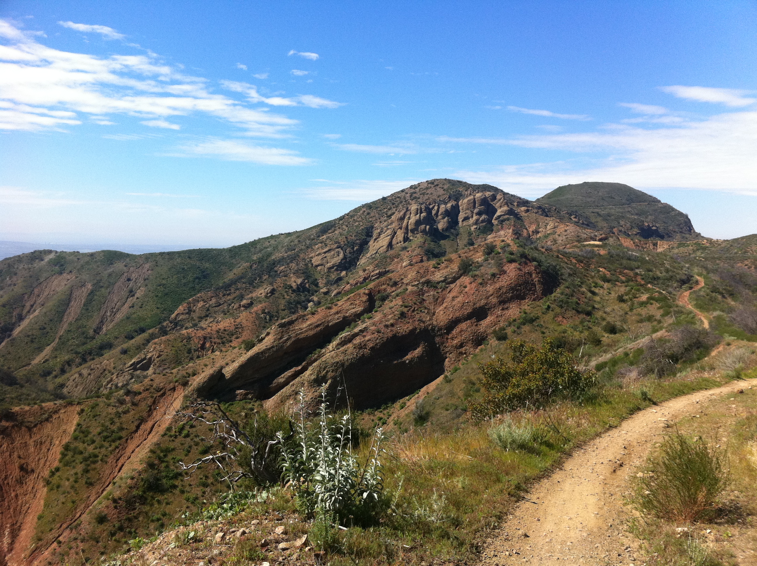
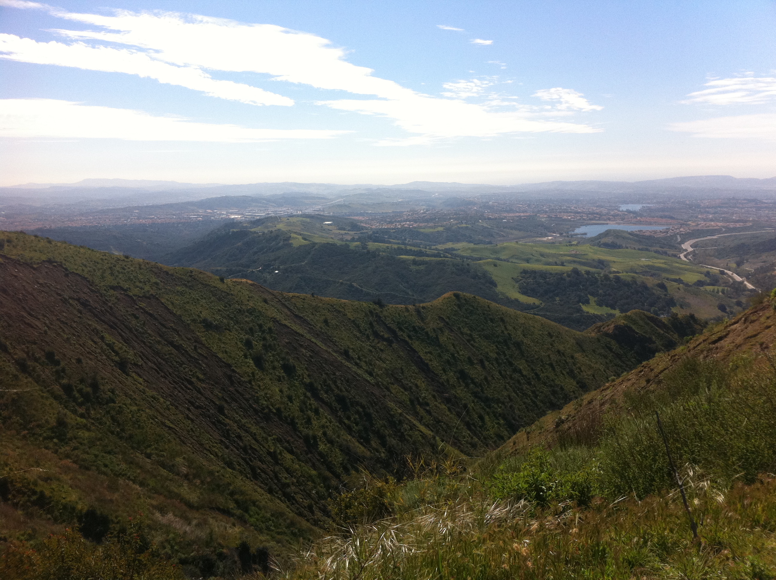
There is actually some pretty interesting terrain in this area.
9 Deep, green canyons. At this point, I'm about 8 miles into the run, and I've only gained around 1500'. That's respectable, but I start doing the math and realize that I still have almost 3000' to the top and it can't be more than 4 miles away. There must be some steep trail ahead!
10 A good size waterfall in the distance. You can hear it througout the valley. It's probably not this big all too often.
11 
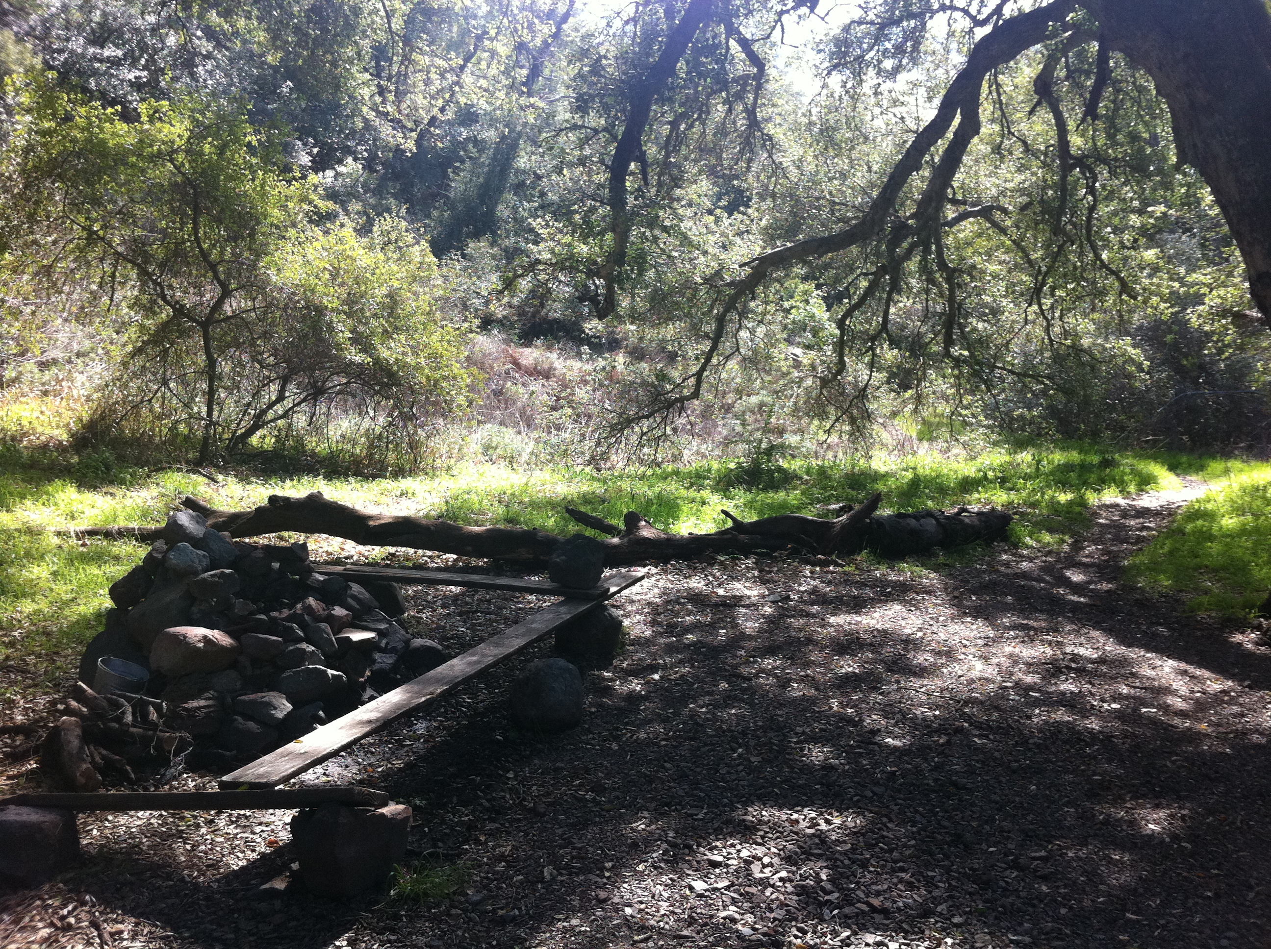
The trail drops a few hundred feet down into Santiago Canyon (not fun on the way back). I think this is a hangout spot for mountain bikers. This is a really popular mountain biking trail, but I don't think they go much past this point. This area is similar to lower Holy Jim but with steeper, more technical terrain.
12 
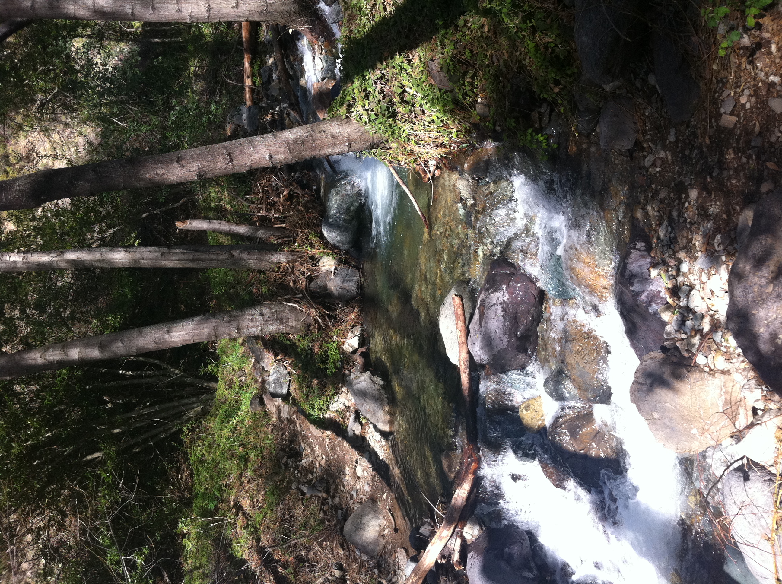
Santiago Creek is loud and moving fast. It's absolutely beautiful down here.
13 
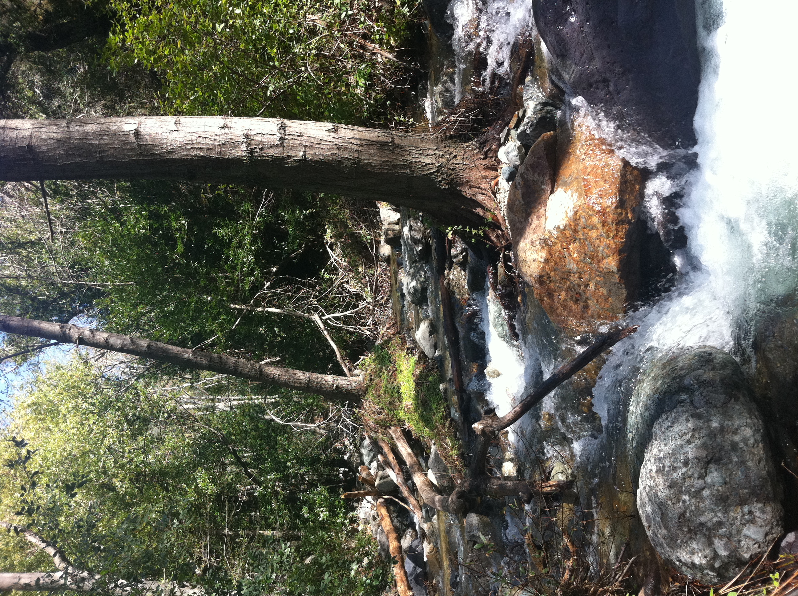
The first of many creek crossings over the next couple of miles.
14 Looking up Santiago Creek from the bottom of the canyon.
15 Video of the creek.
16 The trail continues alongside the creek, crossing back and forth over the main creek and several little tributaries.
17 
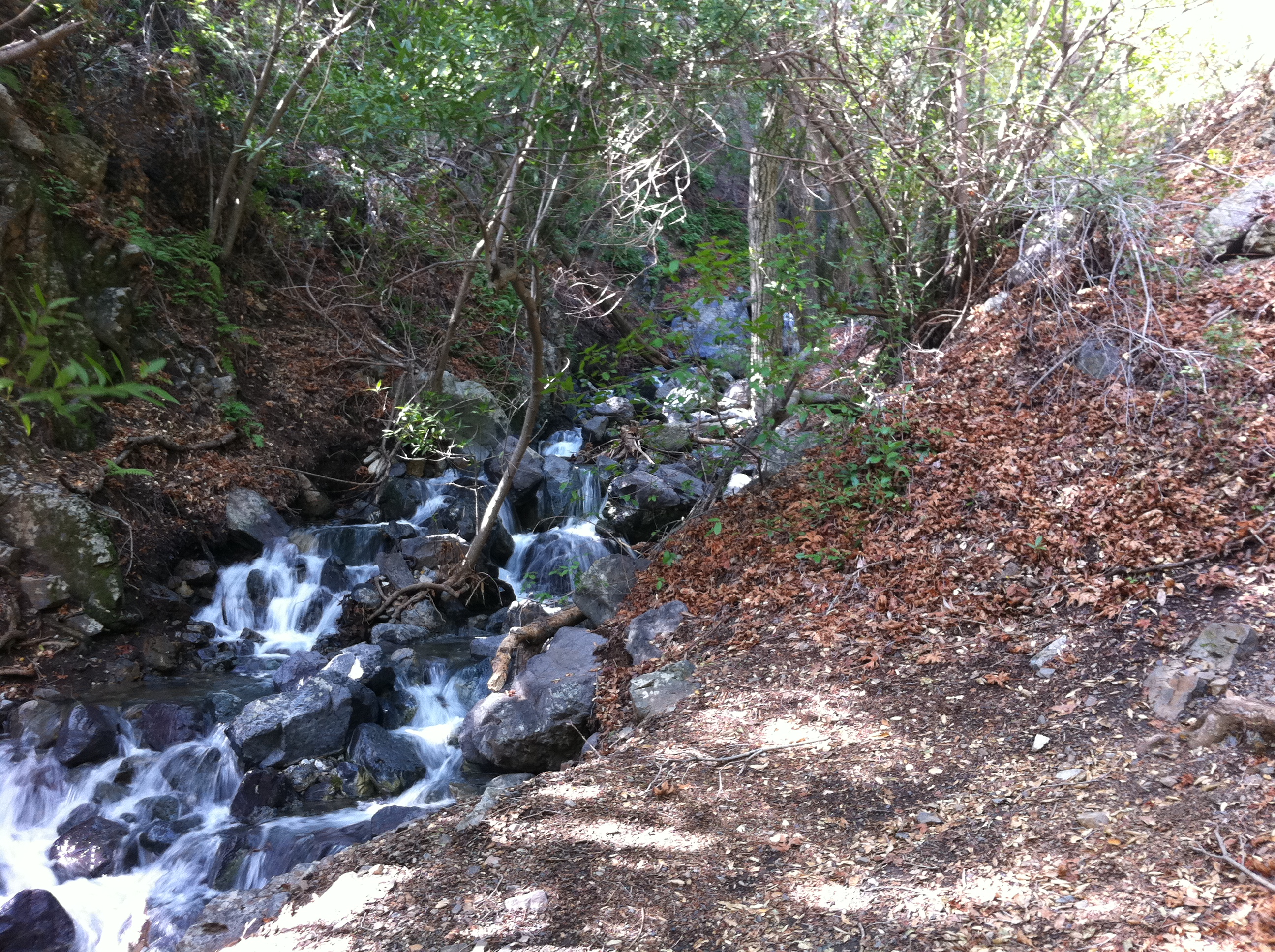
There are some amazing little cascades along the way. There are a couple miles in this area that are around 1200' per mile, which is almost Catctus Clouds caliber. I'm mostly hiking here and jogging in brief spots where I can.
18 The first official patch of snow. And I'm only at 3500 feet!
19 
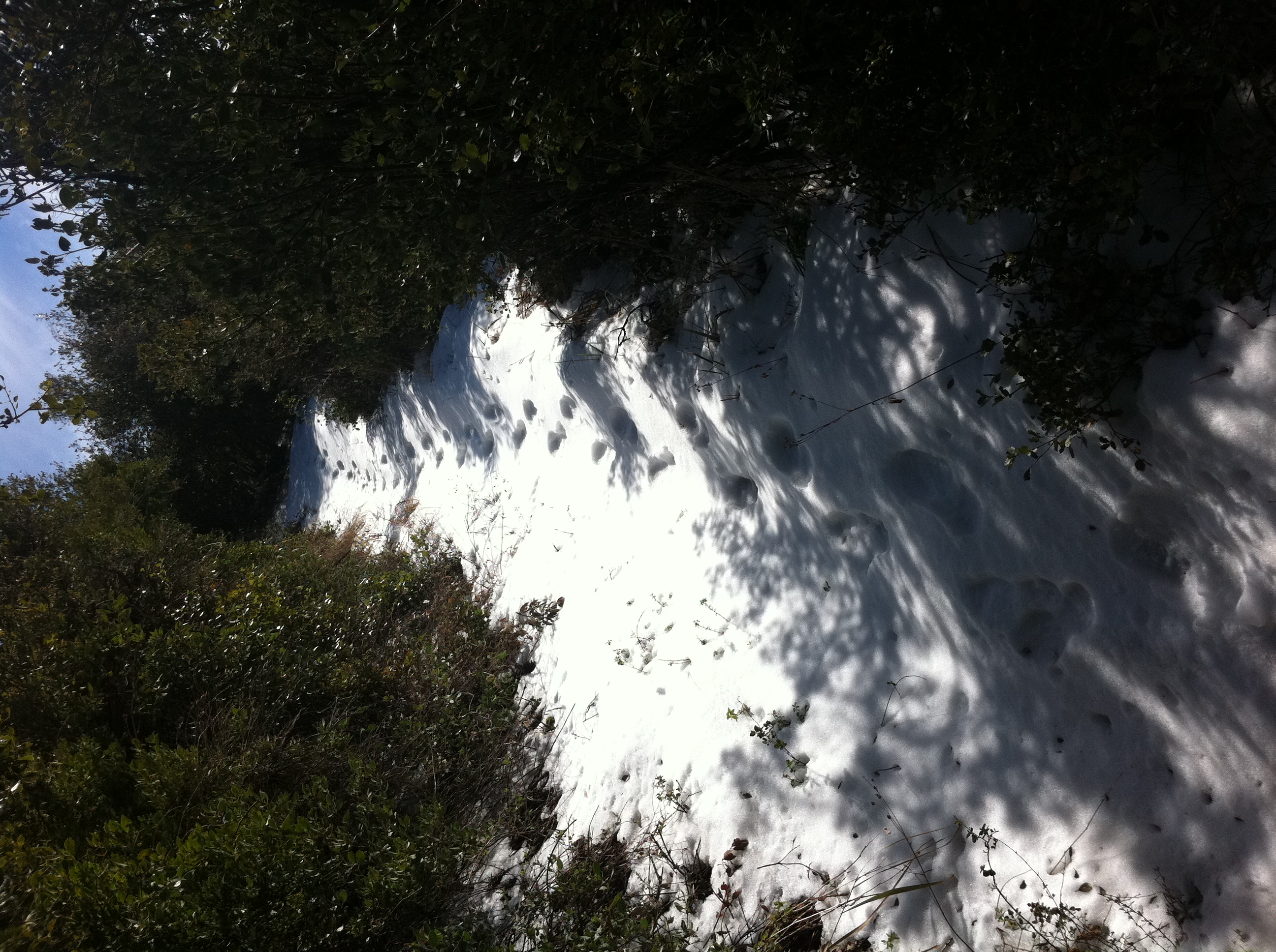
Before long the snow becomes larger patches and then consistent stretches. It's odd seeing snow in the chapparal on an otherwise warm day.
20 
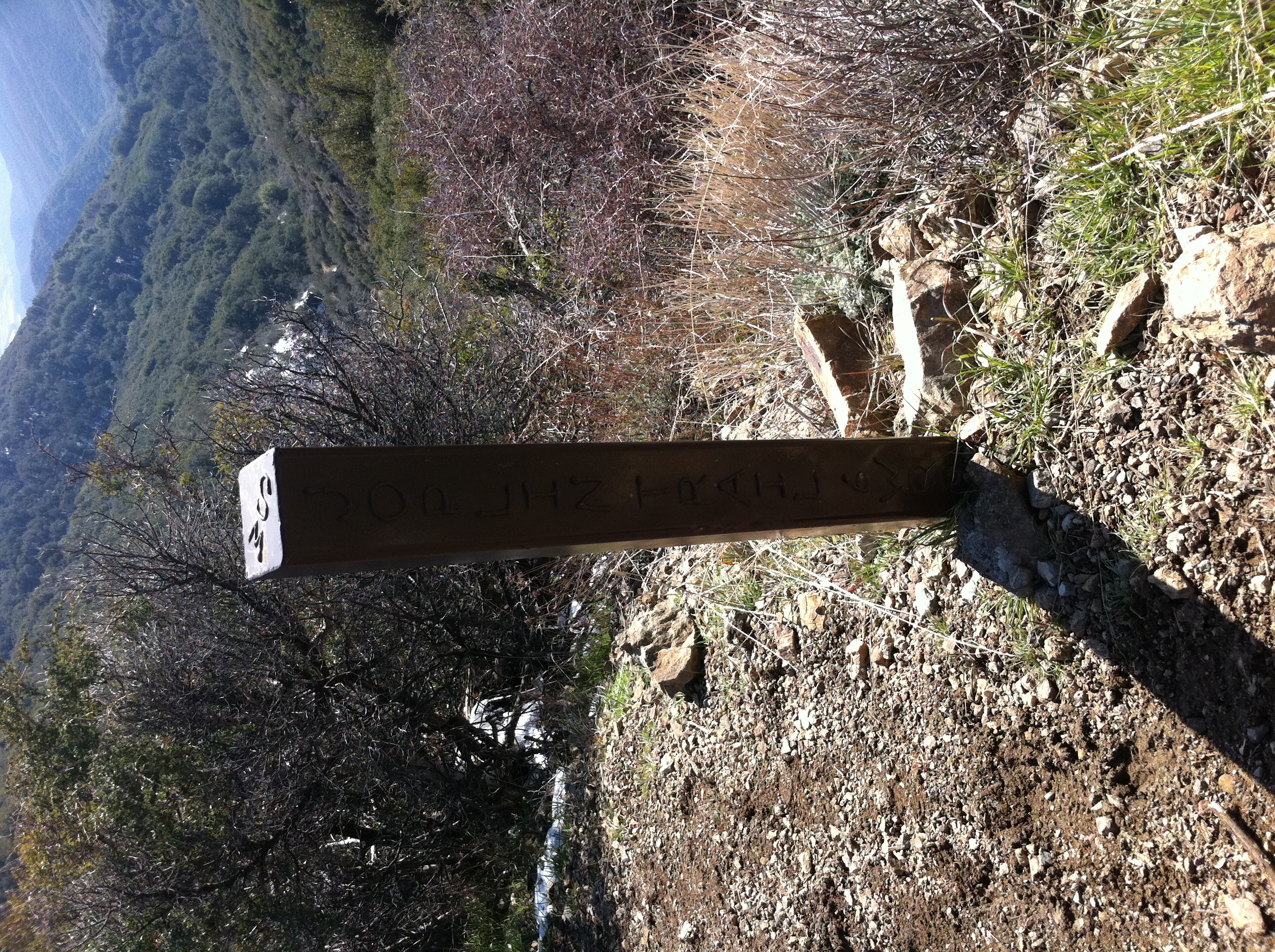
Top of the Joplin trail. Here the trails merges with the Harding Truck Trail exactly at the base of the saddle between Santiago and Modjeska peaks.
21 A look down Santiago canyon from the saddle.
22 Looking towards the top from the truck trail. The single track picks up again just off the road. The snow is melting fast in the exposed areas, but as soon as you drop back into the shady trees, it gets pretty deep.
23 I've been on this section of trail before when I ran from Santiago to Modjeska. Here's the mysterious truck again.
24 This trail is much harder in snow than dry! The snow is easily 6-9 inches deep here. Each step is past my ankles and my non-waterproof trail running shoes are starting to get really wet and really cold.
25 A look at San Gorgonio and San Jacinto in the distance.
26 The trail joins the main fireroad above upper Holy Jim just below the top. Anyone who's done Santiago with me has been at this spot, but probably not when it looked like this!
27 The fireroad just below the summit. There's still snow in the trees.
28 The last little bit to the summit. Fully exposed in the sun and still plenty of snow.
29 The official summit marker, with a touch of snow.
30 Summit view.
31 Definitely a different look than usual up here. It was worth the effort.
32 The customary 360 summit video.
33 Mt. Baldy and the radio towers.
34 An ocean view with Catalina and San Clemente islands in the distance and snow in the foreground. Pretty cool. At this point, it's 3:15pm and I have about 2 1/2 hours until it gets pretty dark. With no headlamp, I'm going to have to make good time coming down. I know I won't be making normal 2:1 time on this trail.
35 Talk about deceiving pictures. This is actually a really steep downhill. It gives you some idea of how technical the trail is. I was coming down this section pretty fast. Definitely an ankle workout!
36 Almost back to the car as the sun is setting over Catalina. I get down right around 5:45. I was absolutely exhausted at this point. The last 7-8 miles of the trail are relatively flat, and not terribly exciting, with plenty of rolling uphills. It was mentally grueling. I stop for dinner at the famous Cook's Corner and then head home.