I had to decide which trail to take to the top. A longer flatter route like South Fork, or a shorter, steeper route like Vivian Creek. I ended-up deciding that…
Mill Creek in the morning. I got a late start because I thought I had to go into the ranger station to get my day-use permit (I hadn't faxed it in far enough…
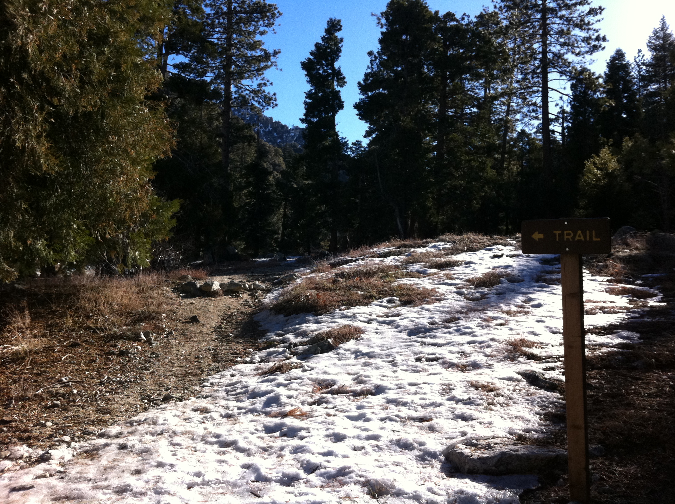
Crossing Mill Creek. I've never hiked or run this trail before, so I'm hoping this exploratory trip helps me learn the terrain, find the trailhead and…
The trail climbs about 1200' of steep switchbacks right away, making for a quick warm-up. That section of trail was mostly dry, so I made good time. At the top…
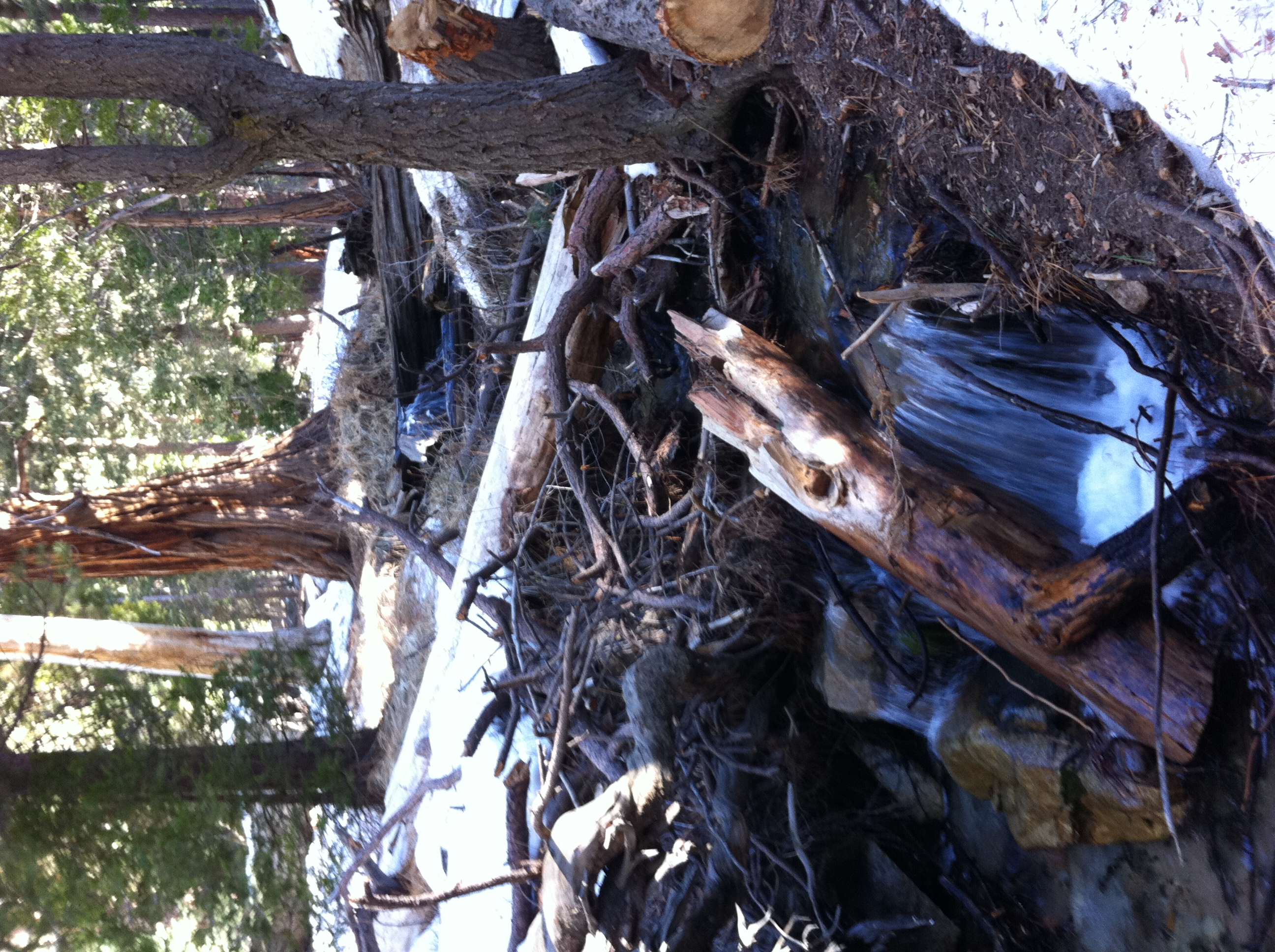
Crossing Vivian Creek. This is one of the most picteresque spots I've encountered in all of Southern CA. No wonder this trail is the most popular. It's packed…
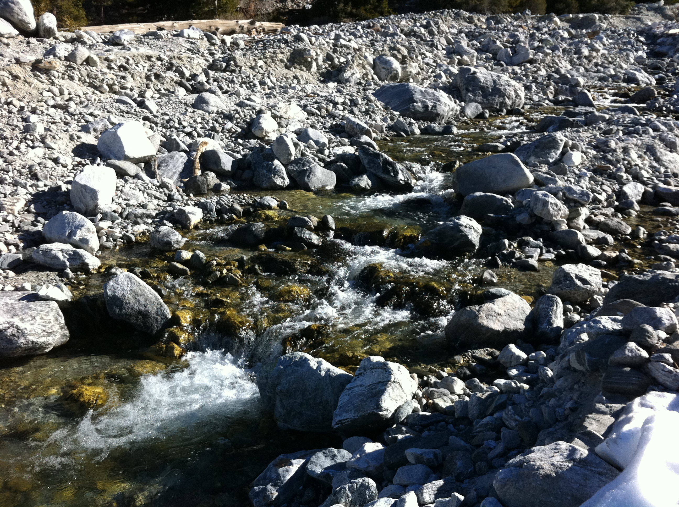
Another creek shot.
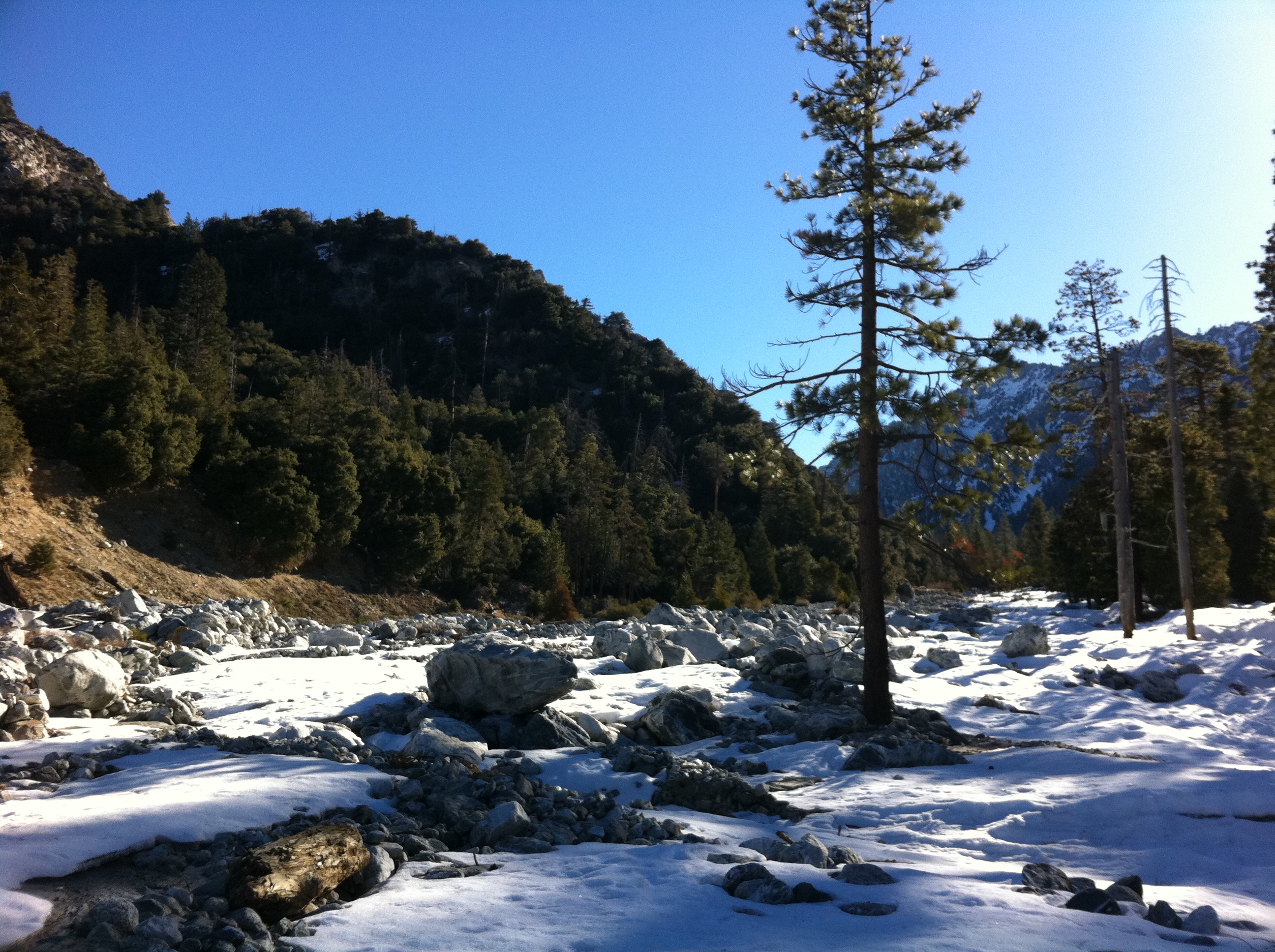
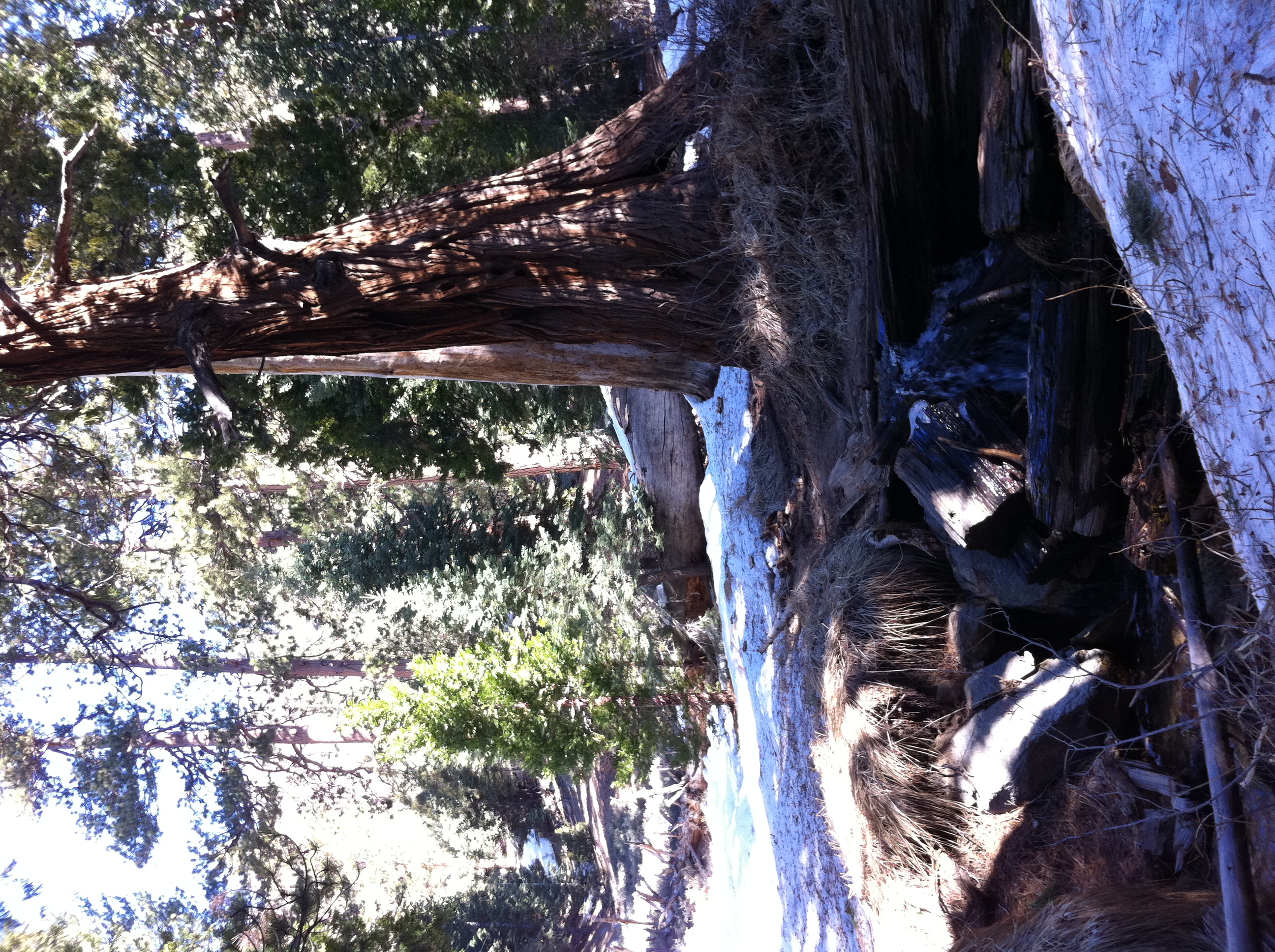
The creek turns into a bit of marshy area admist the snow at the end of the valley.
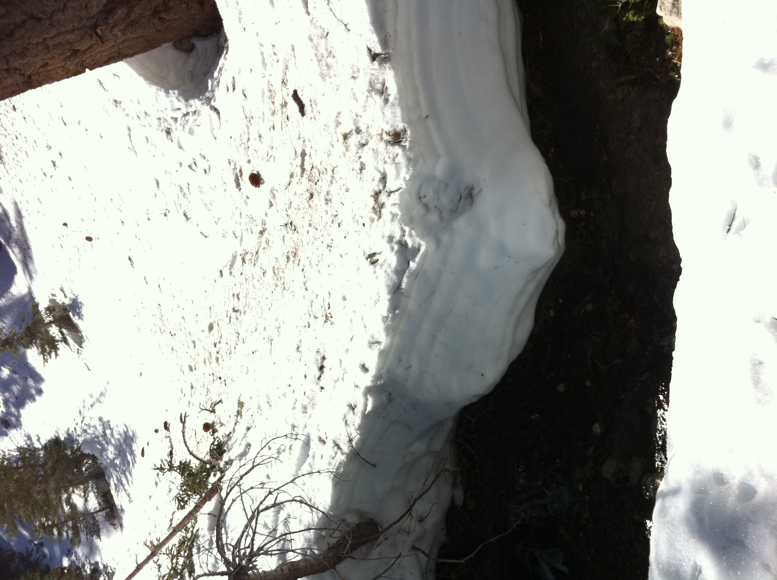
The creek cutting through the snow.
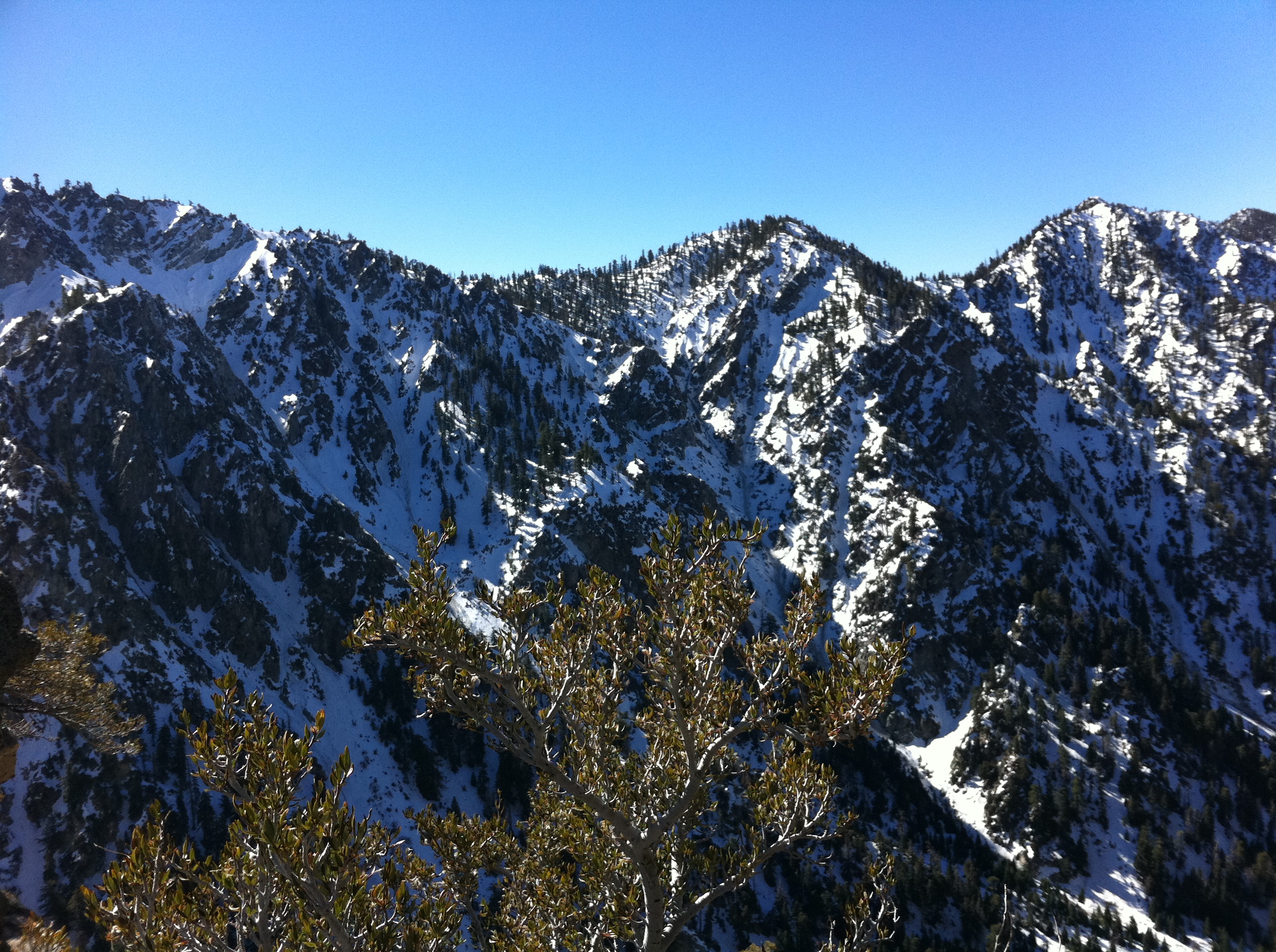
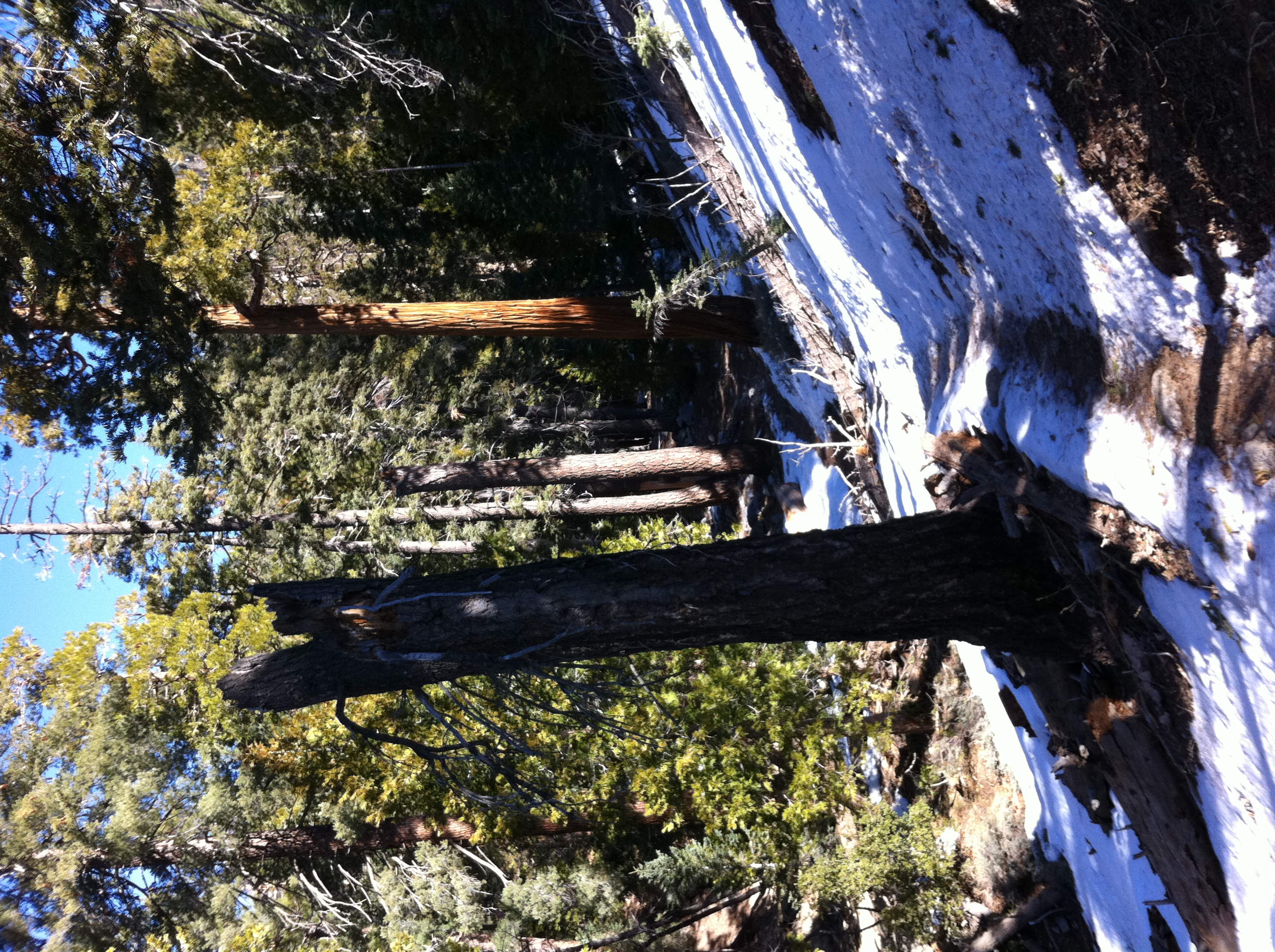
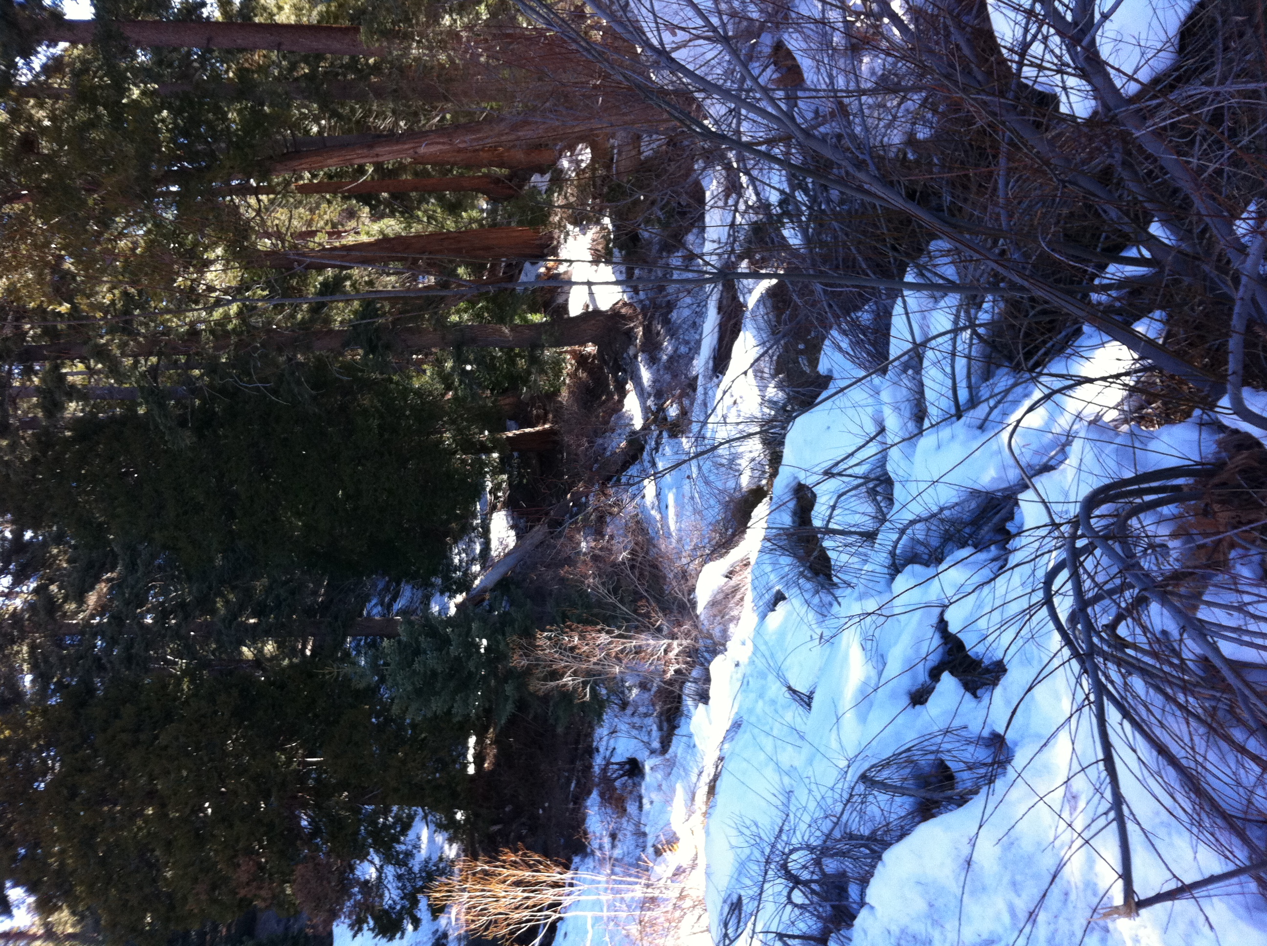
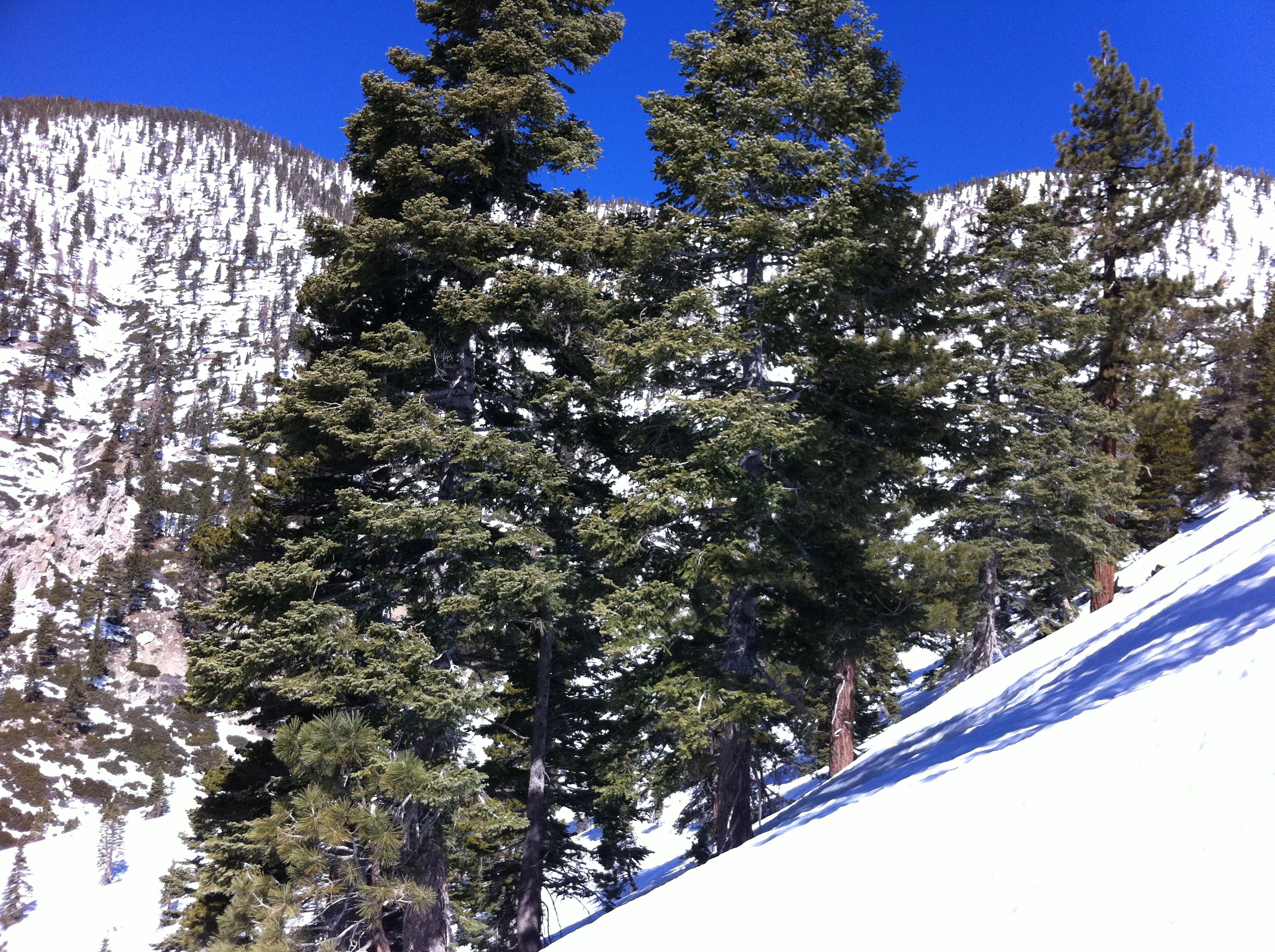
This is legit alpine territory up here. I wish I had a good camera with me, but I'm stuck using the iPhone 4 for pictures, because my normal camera is dead.
I've had good tracks to follow up to this point, but here I lose the trail. The map says go this way, but the tracks turn into a free for all up the steep slope…
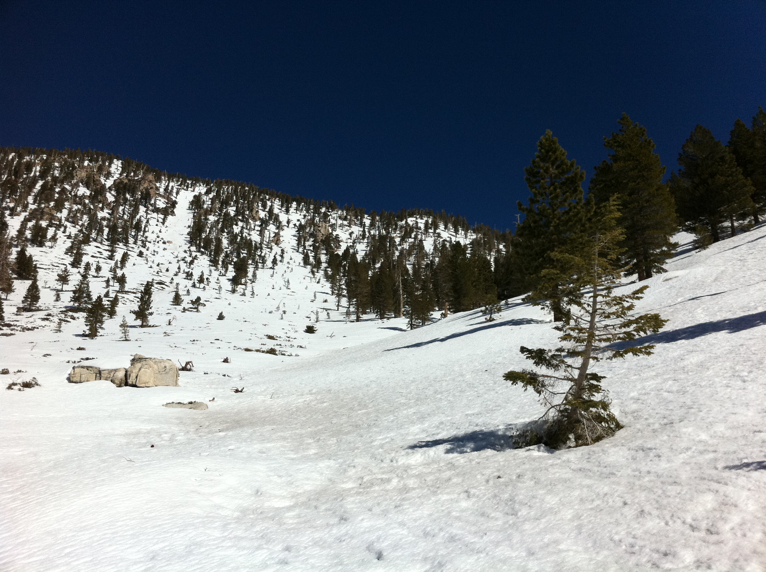
Turns out I should have followed the tracks rather than the map. They took a shortcut, where I end-up adding at least a mile to my trip going around a little…

I reach the Halfway Camp area and end-up taking another little detour to the end of the valley. Turns out I had missed the trail junction to High Creek. But the…
You can also see San Jacinto from this vista point.
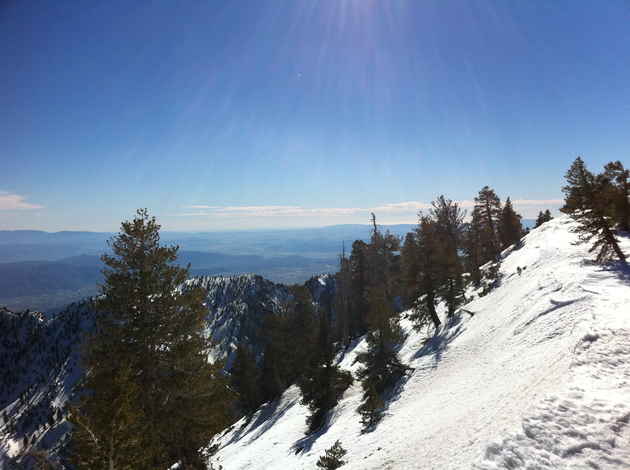
Another view from Halfway Camp.
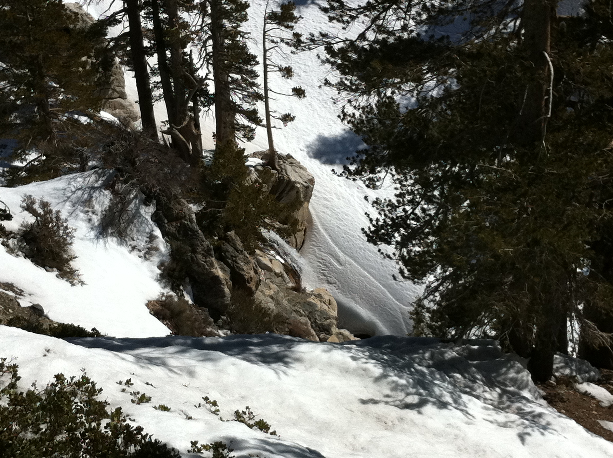
It's a little hard to see, but in the middle of the picture you can make out a good sized waterfall as High Creek roars down the valley.
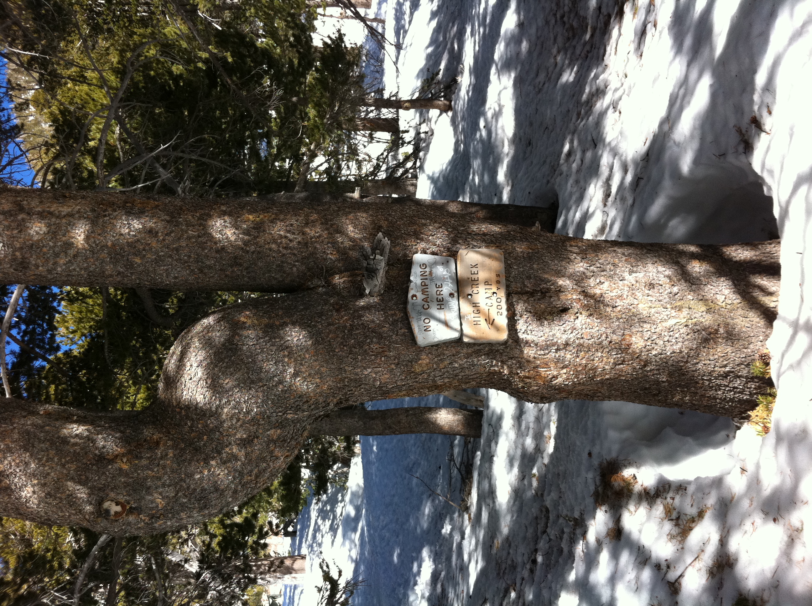
I finally make it to High Creek, a popular spot for those doing the summit as a backpacking trip (in snow or dry). The elevation here is 9230'.
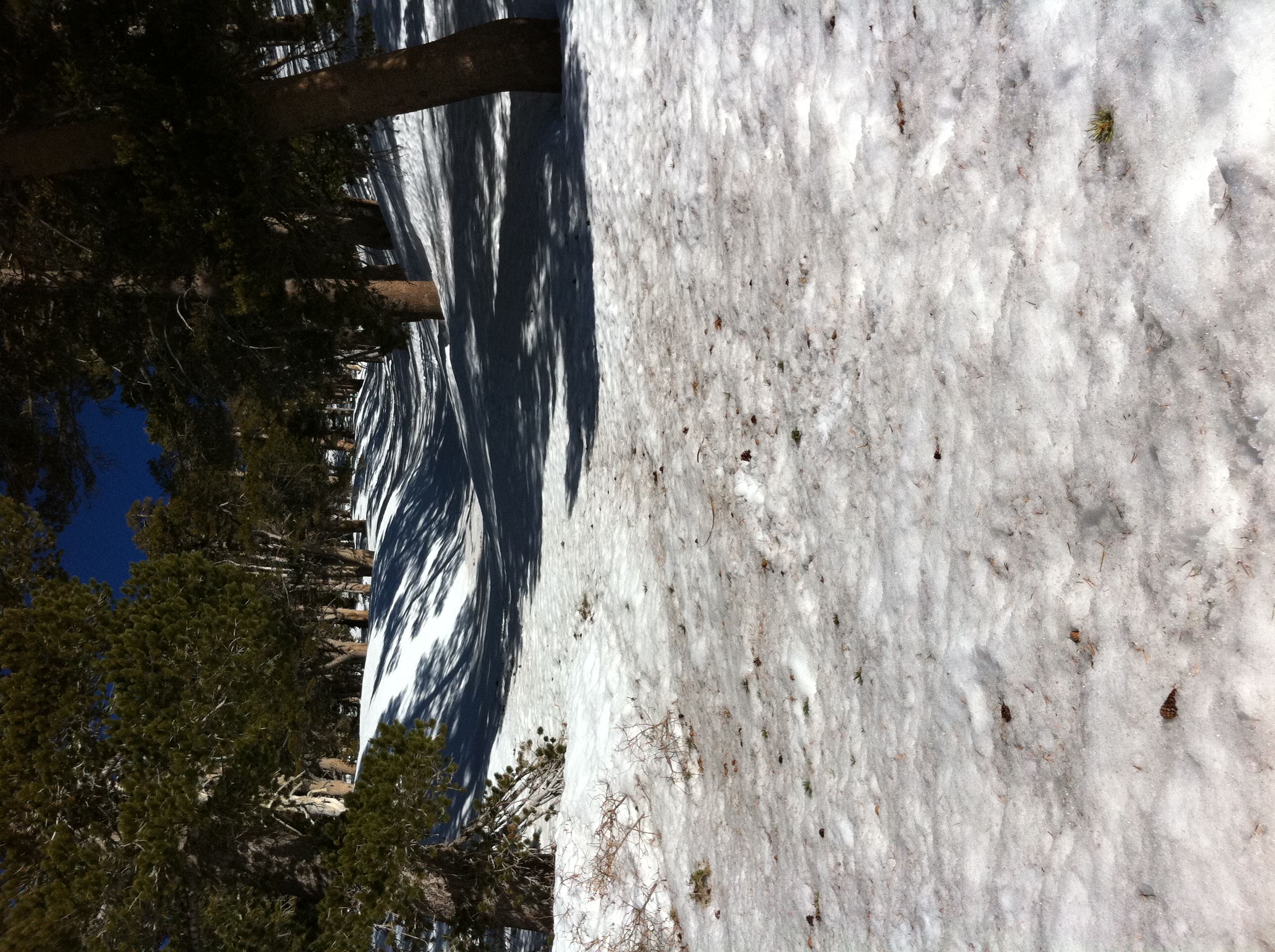
The trail leaves High Creek and makes a quick 800' climb out of the valley in just over a half mile. It doesn't look like much in the picture, but that's steep.…
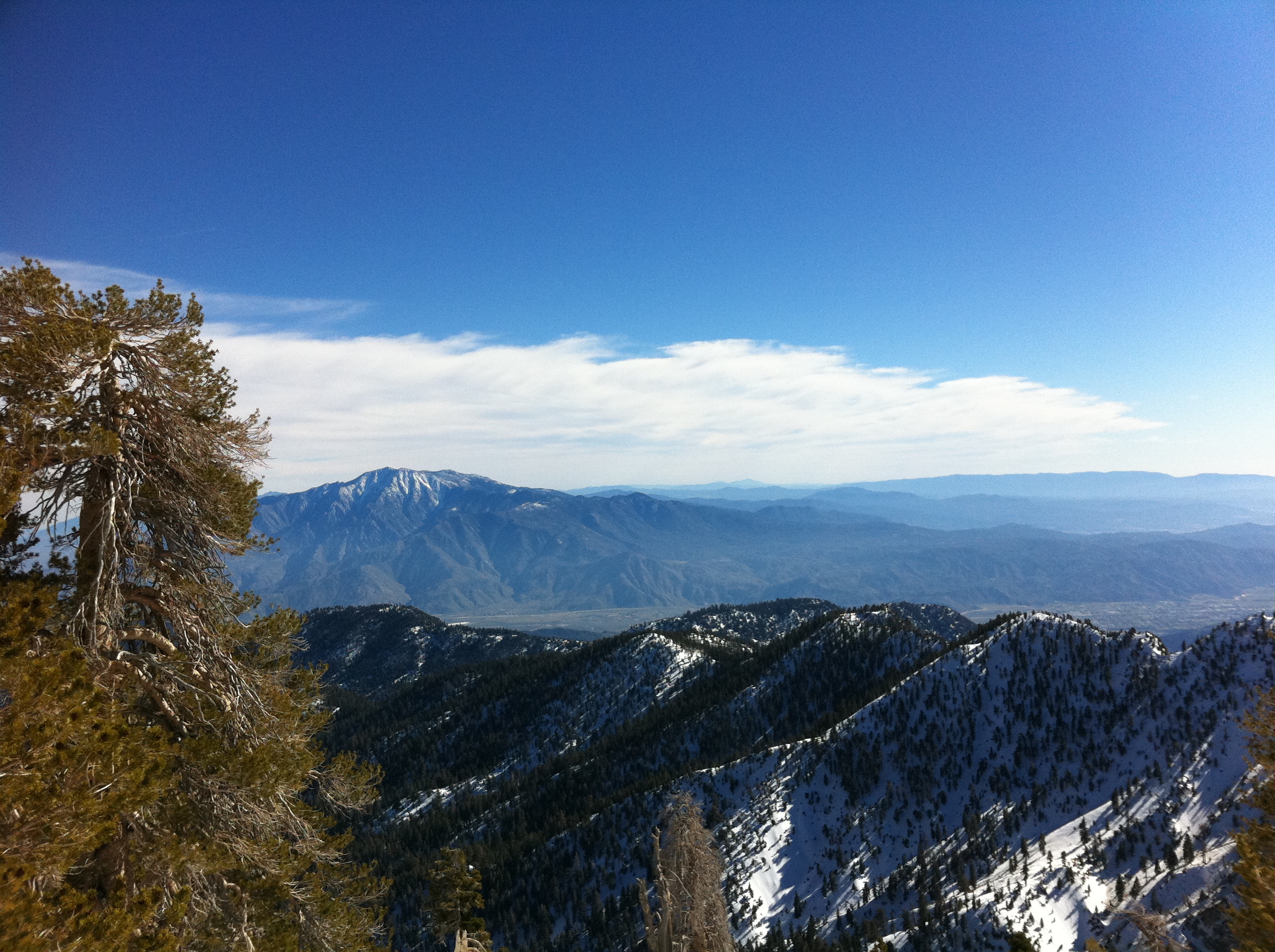
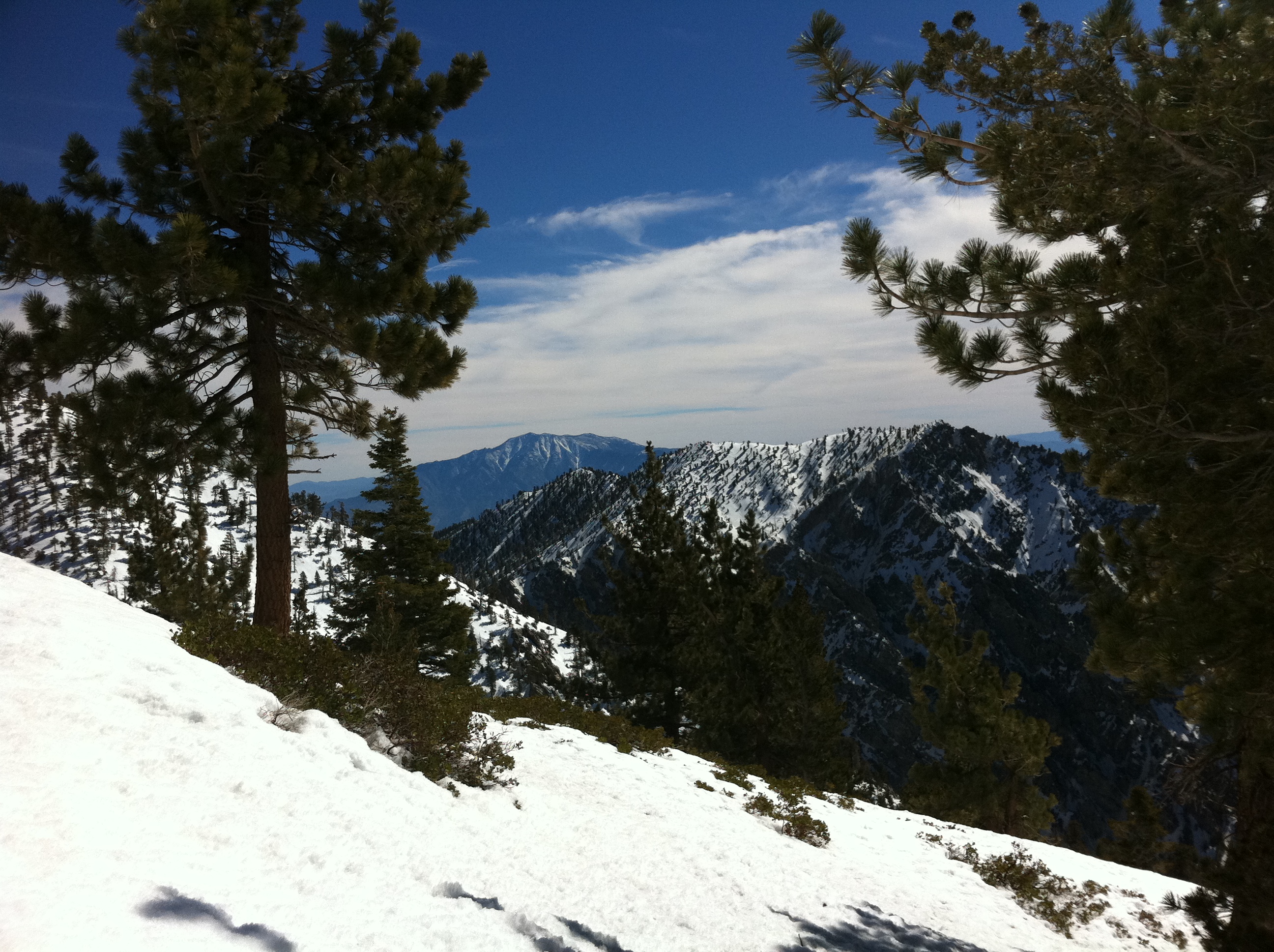
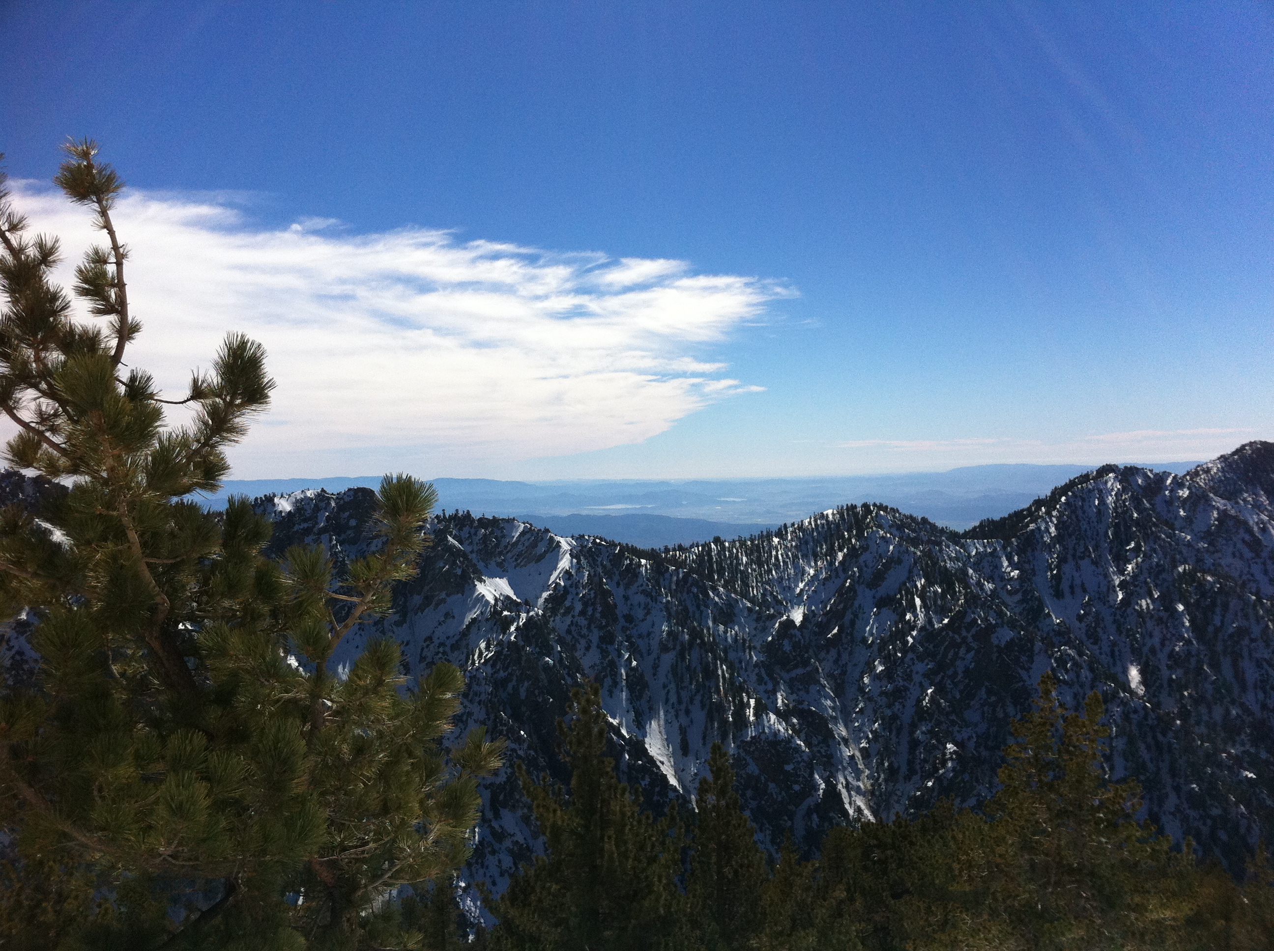
Once you reach the ridge above High Creek though, the view is amazing. Awesome view of San Jacinto.
Another view from the ridge above High Creek.
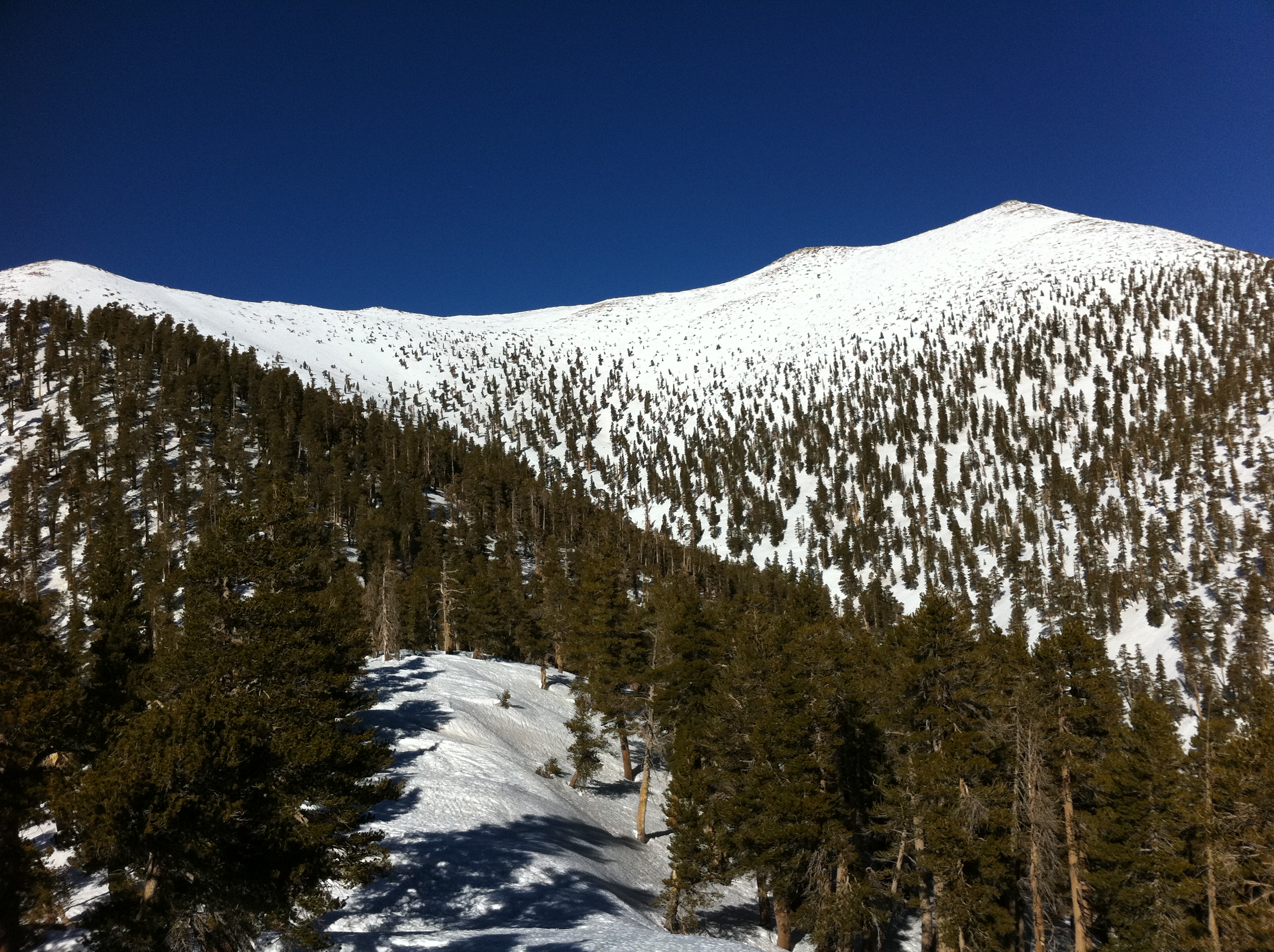
Moving on along the ridge, you soon get a view of the summit. It seems so close. Ya right.