08/14/10 The Southern CA big three peaks (San Jacinto, Mt. Baldy, and San Gorgonio) in three consecutive weekends. To complete the trifecta, my dad joined me for the San Gorgonio summit via the Aspen Grove trail. Over 26 miles and 5000' of elevation gain.
1 Up at 4:00am, out of the house just after 4:30am, at the trailhead just after 7:00am, and hiking by 7:30am. The trailhead is a couple miles up a rough dirt road called the 1N05. Definitely less crowded than the more accessible South Fork and Vivian Falls trails. Unfortunately, my camera is dying, so many of the pictures turned out a bit blurry. Time to invest in an outdoor proof camera. The trail starts in what is evidently the only Aspen Grove outside of the Sierras.
2 
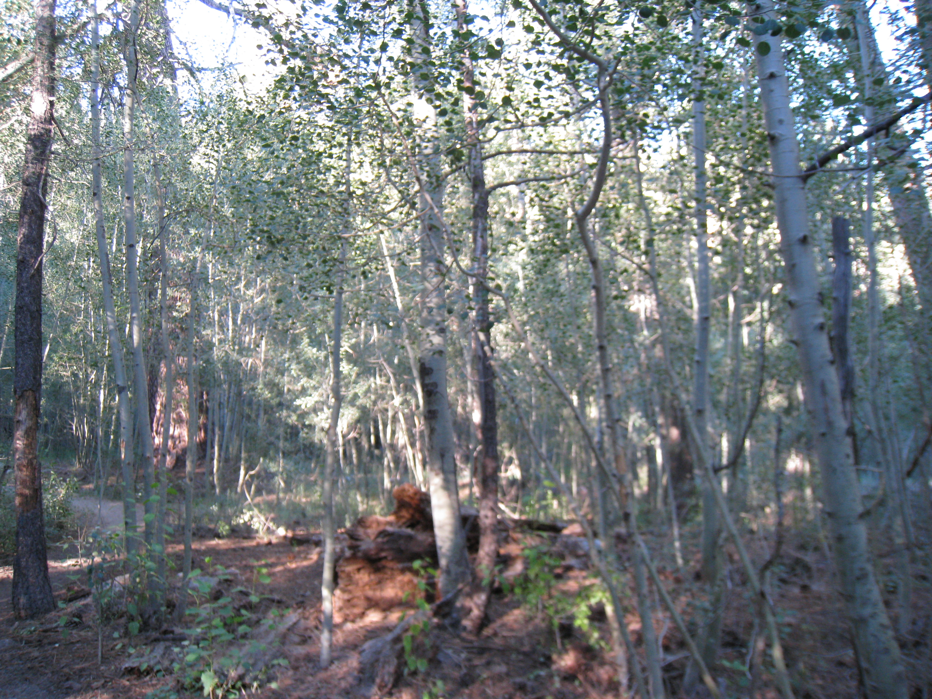
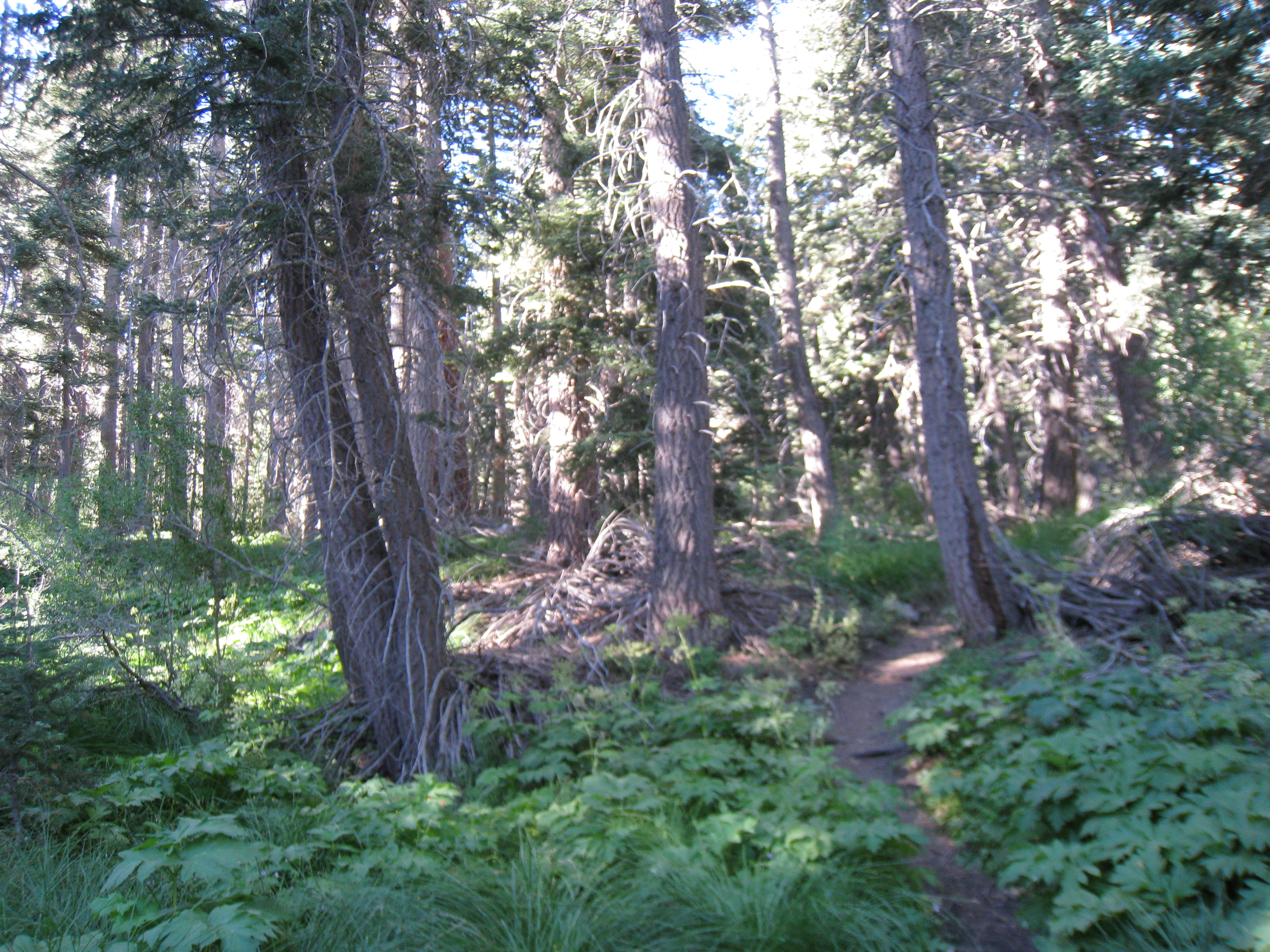
The trail below 9000' was beautiful green meadows, soft spongy trail, with only one human being sighted.
3 
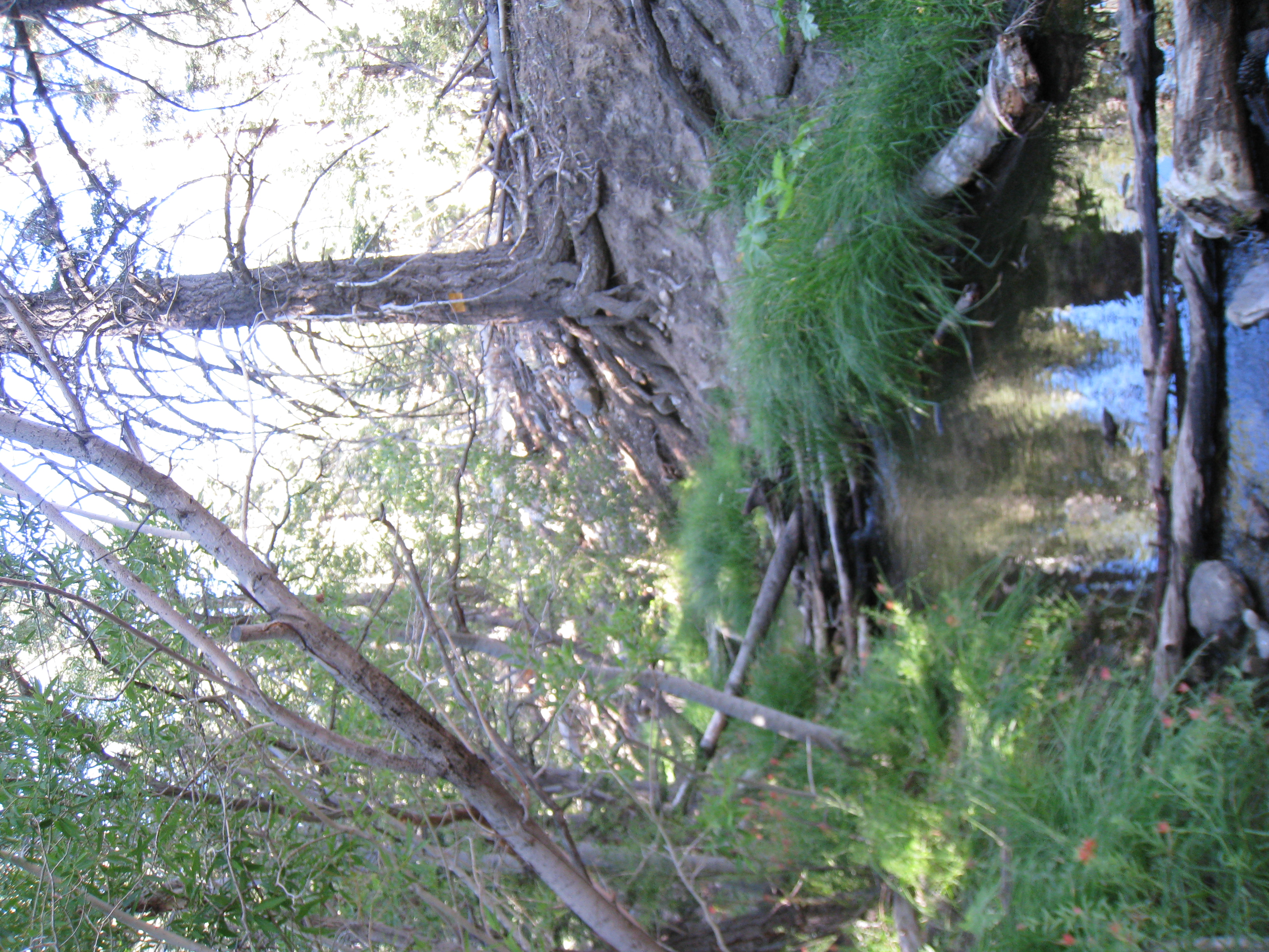
There was still plenty of water flowing and small creeks to cross.
4 
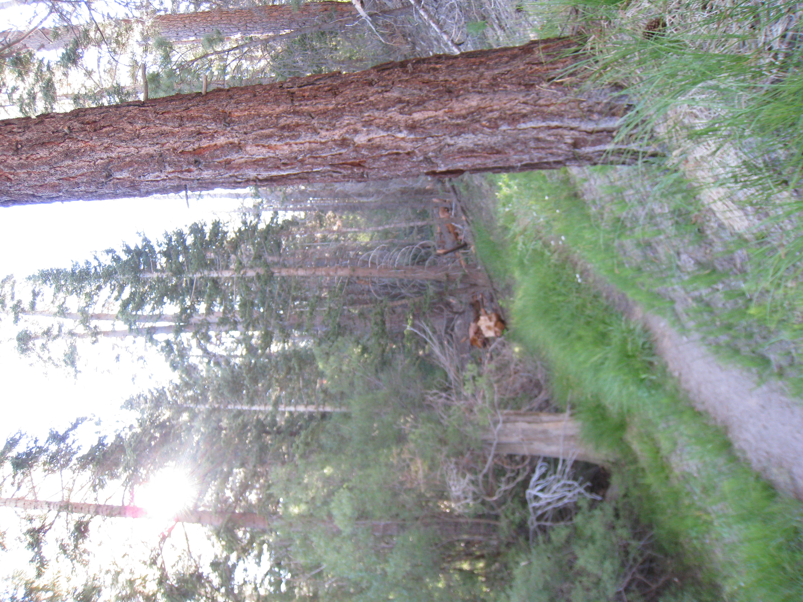
The early morning sun filtering through the trees below Fish Creek Saddle.
5 Not quite Wellman's Cienega at San Jacinto, but beautifully green nonetheless.
6 
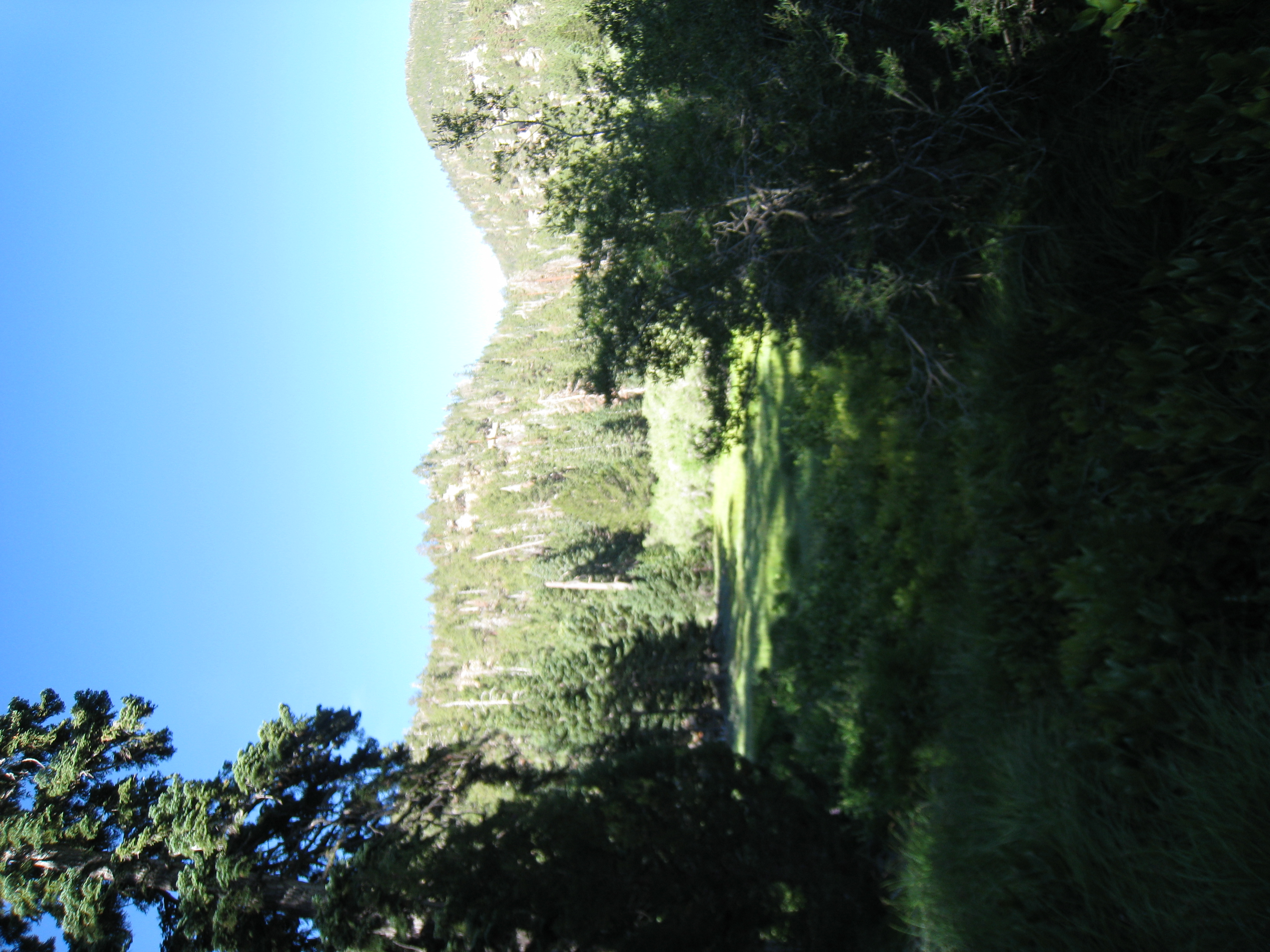
A look at Fish Creek Meadows at about 8100'.
7 
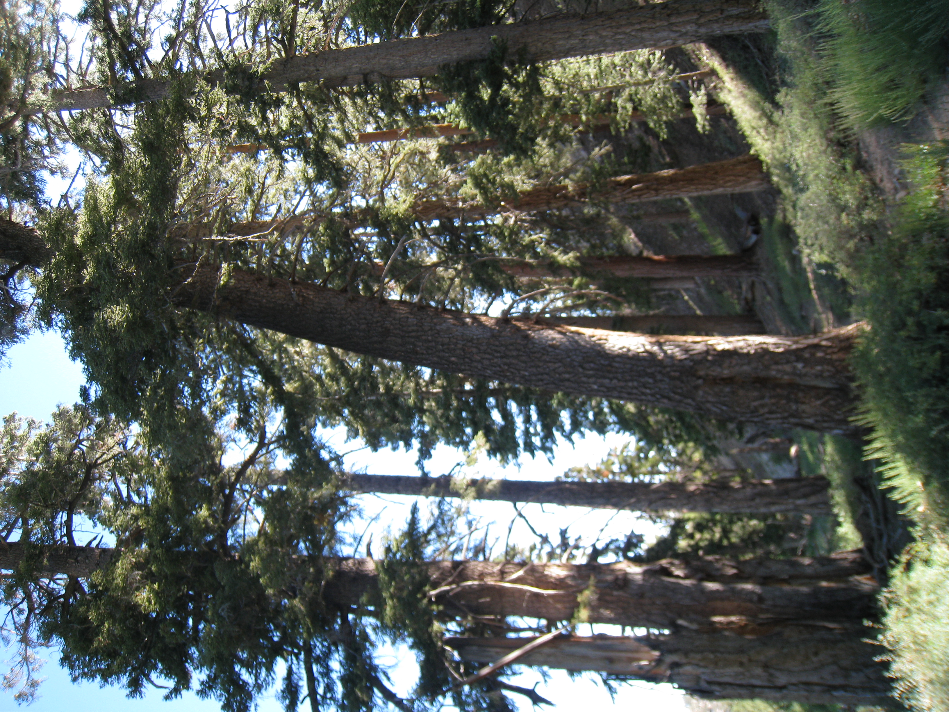
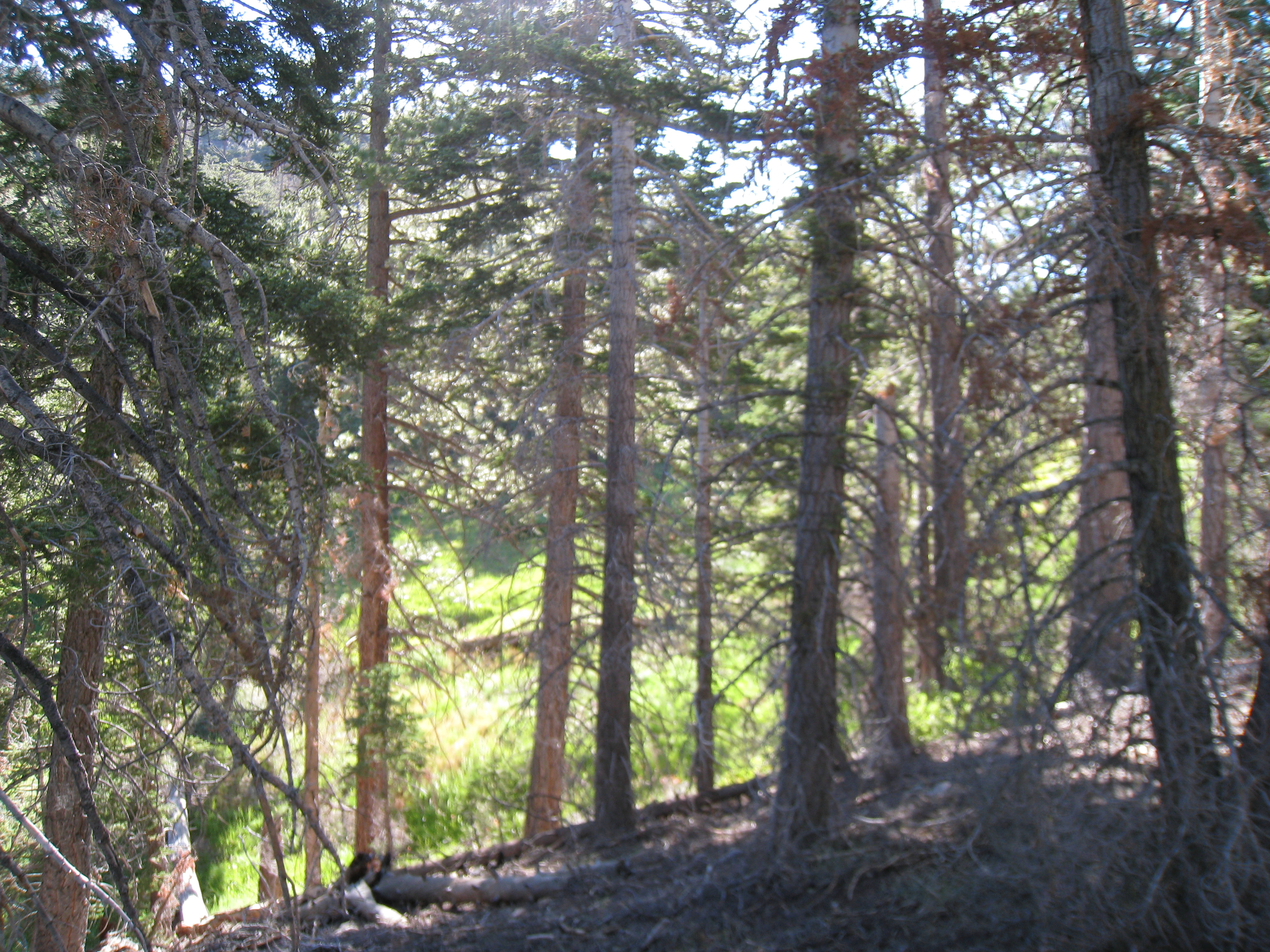
There were plenty of great tree pictures to be had along this trail.
8 
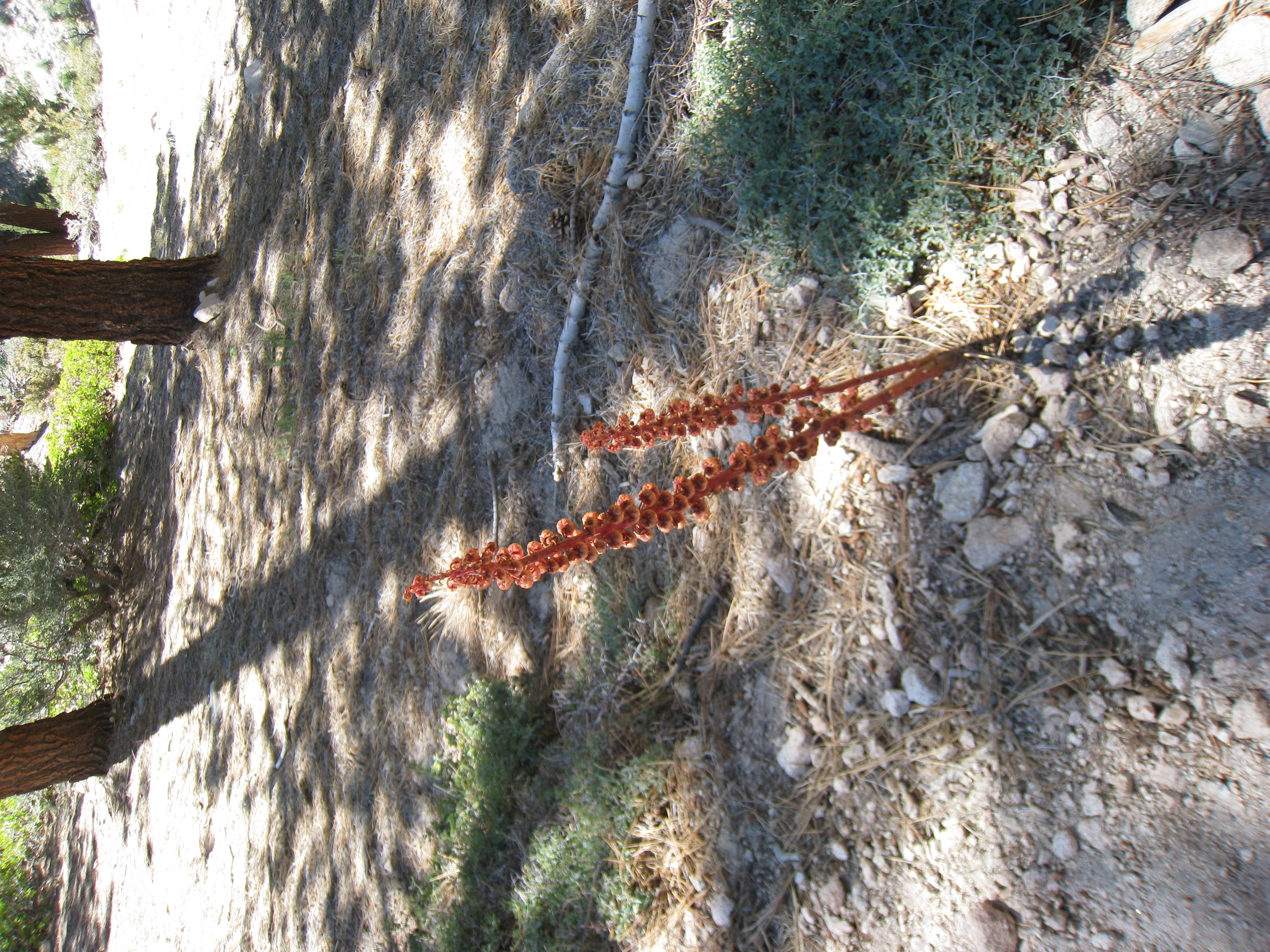
There were plenty of snow plants along this trail as well. This one may have been the biggest snow plant I've ever seen.
9 
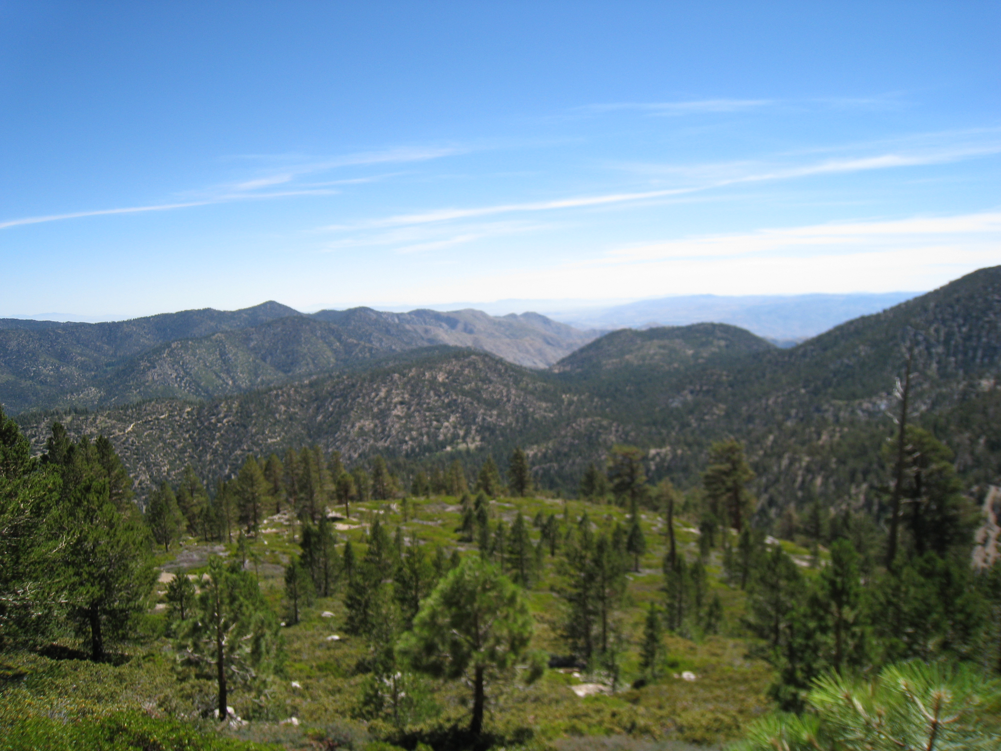
We started to get our first panoramic views just below Fish Creek Saddle.
10 Our first sight of the San Gorgonio peak. It doesn't look that far away, does it?
11 
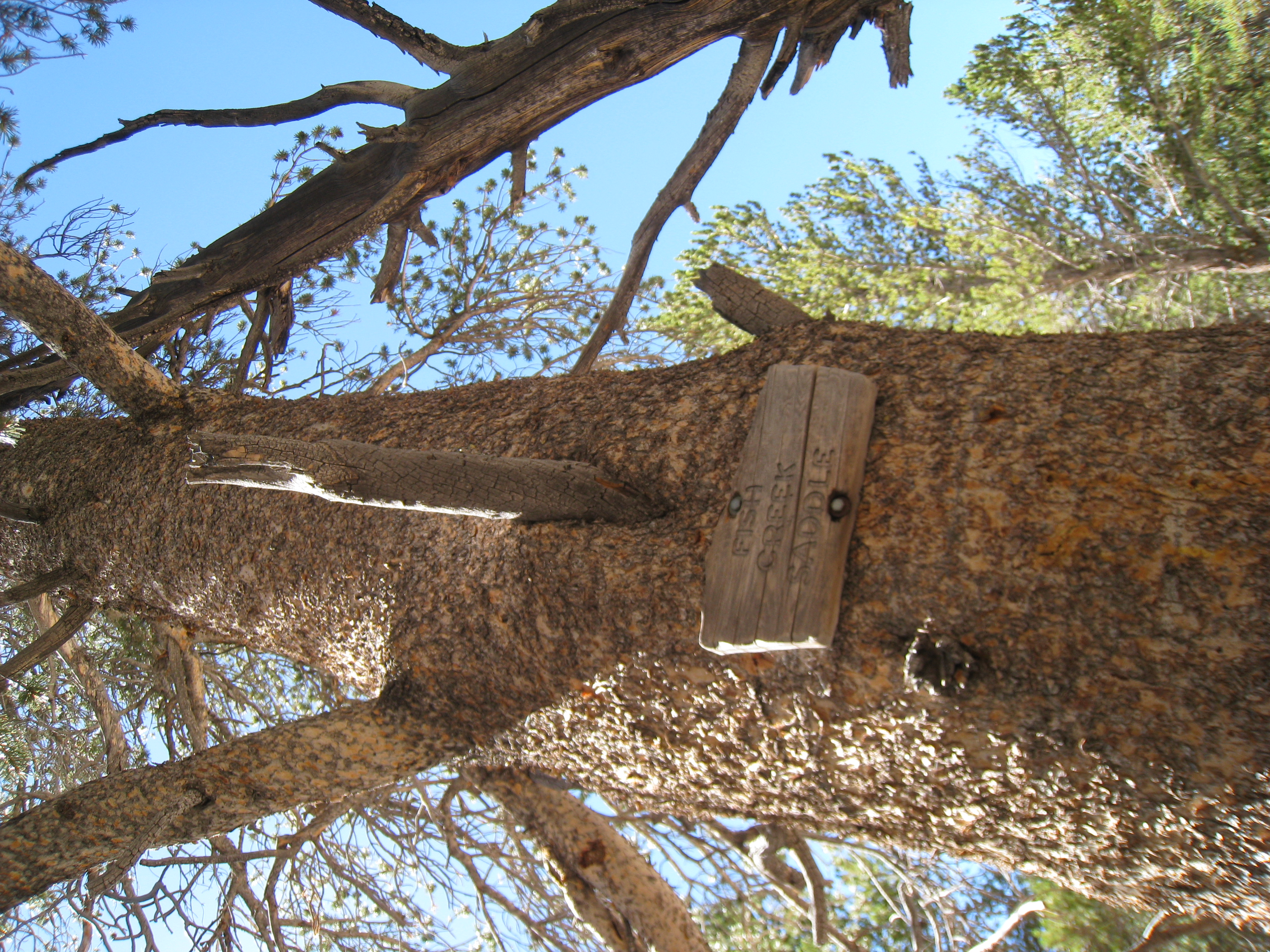
We made it to Fish Creek Saddle at about 9800'. It's starting to become clear that at our current pace, we're going to be in for a very long day. Somehow, there was about a 1.2 mile discrepancy between the map and the GPS. So what was supposed to be 22.2 miles round trip just became 24.6.
12 
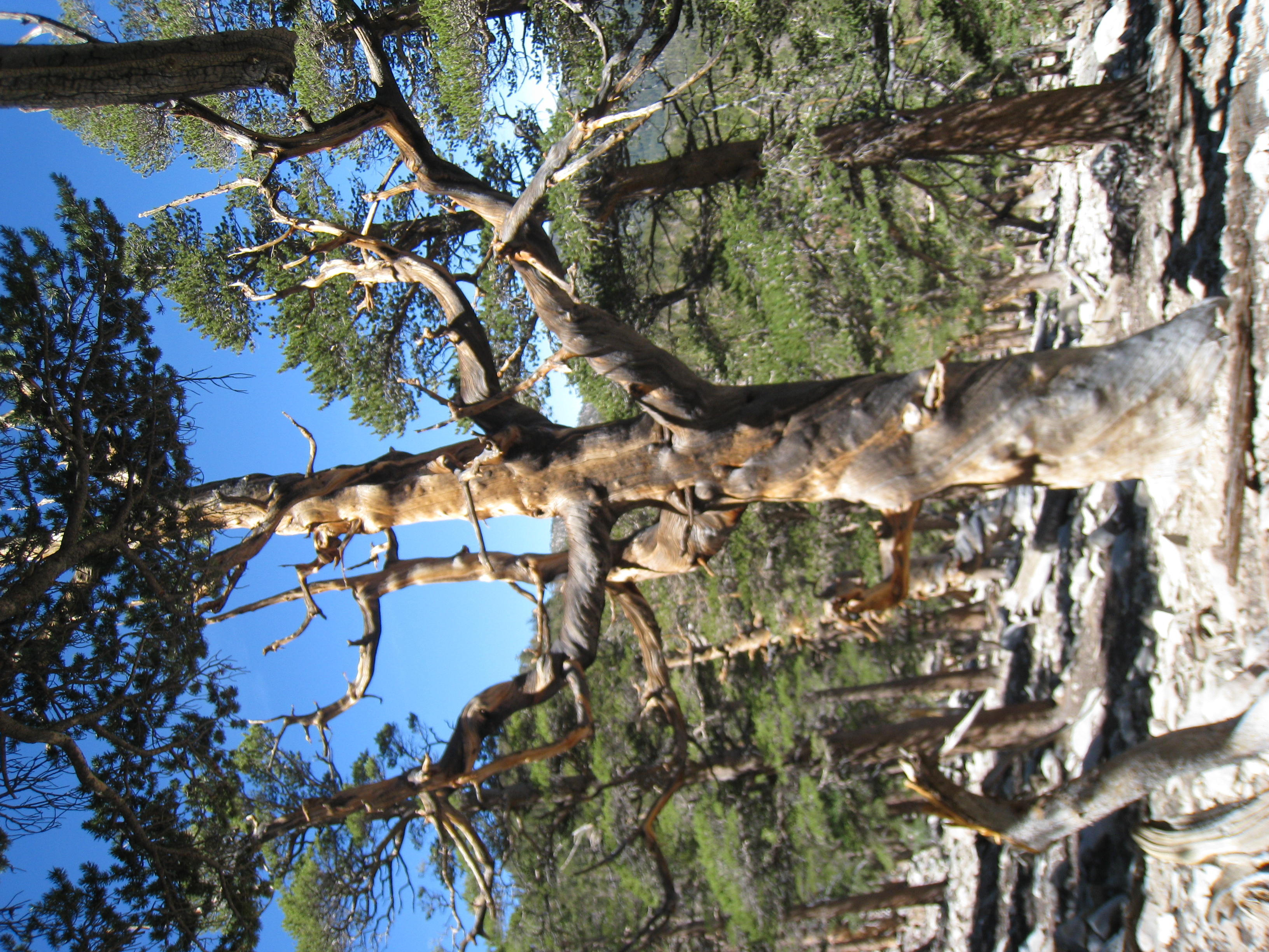
There were a lot of fascinating trees, gnarled by either the elements or disease. This one had a spiral growth pattern running up the entire height of the tree.
13 
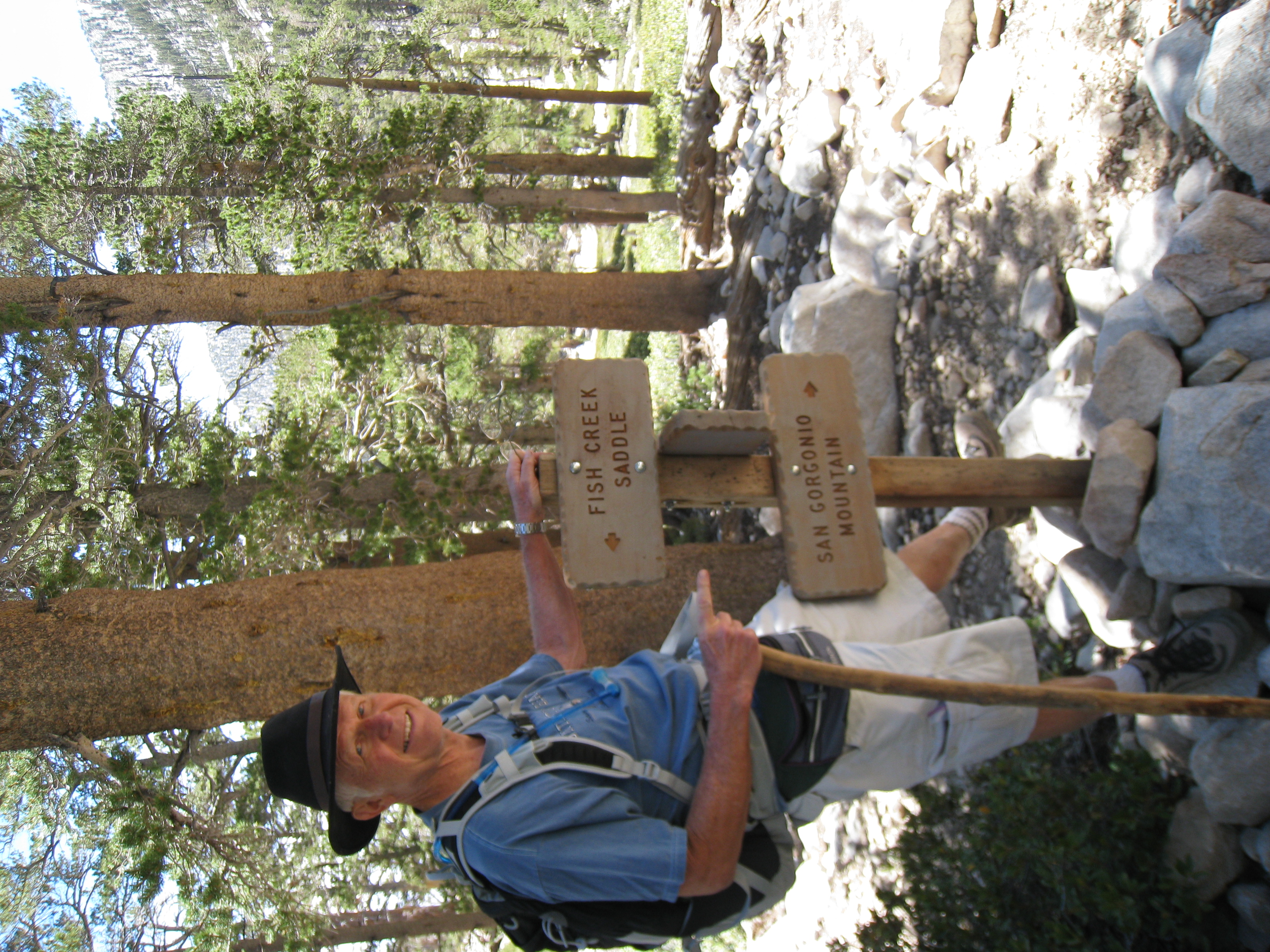
Dad posing at the Mine Shaft Saddle junction. The long, gentle ascent has made for happy going so far.
14 
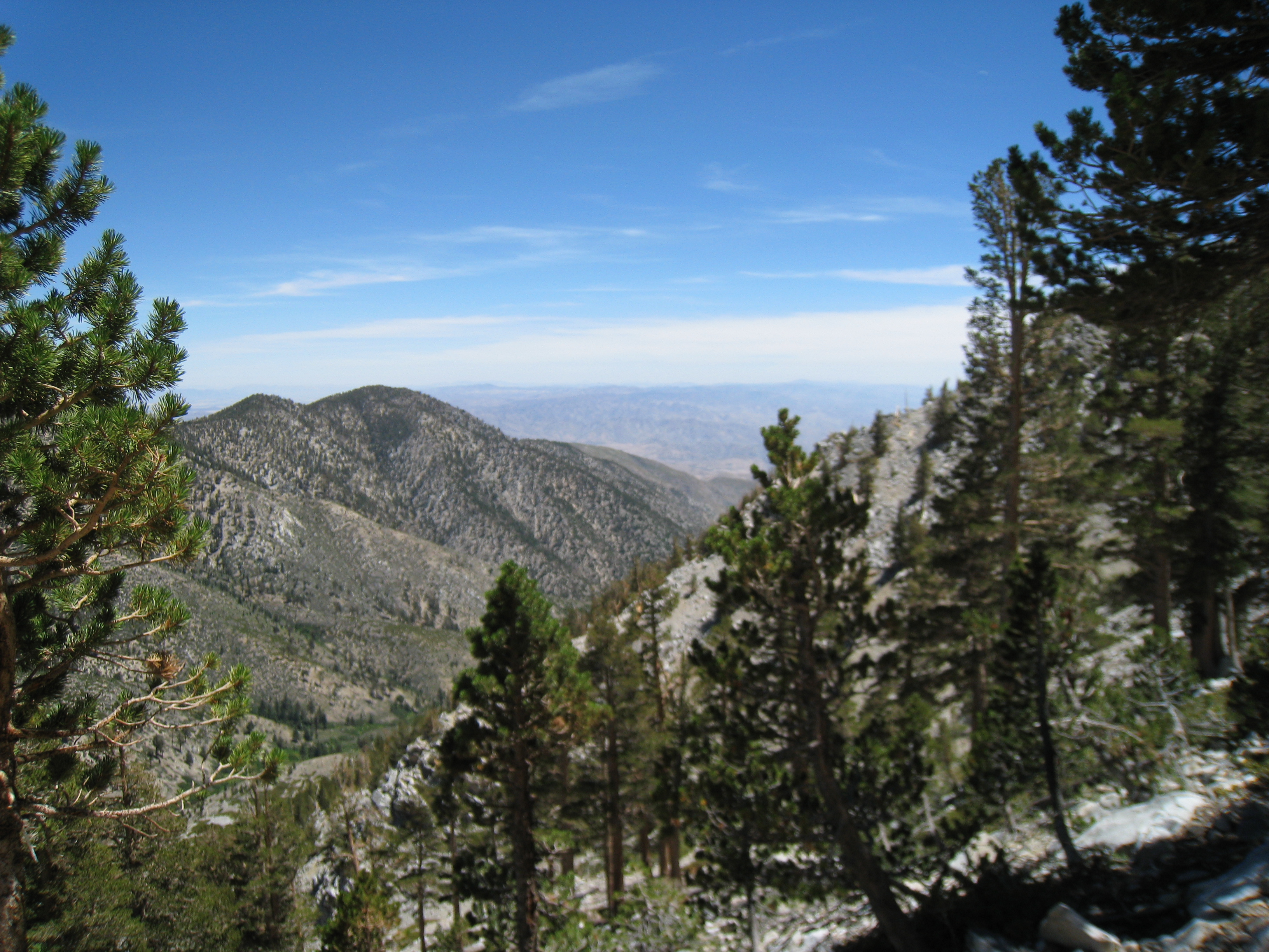
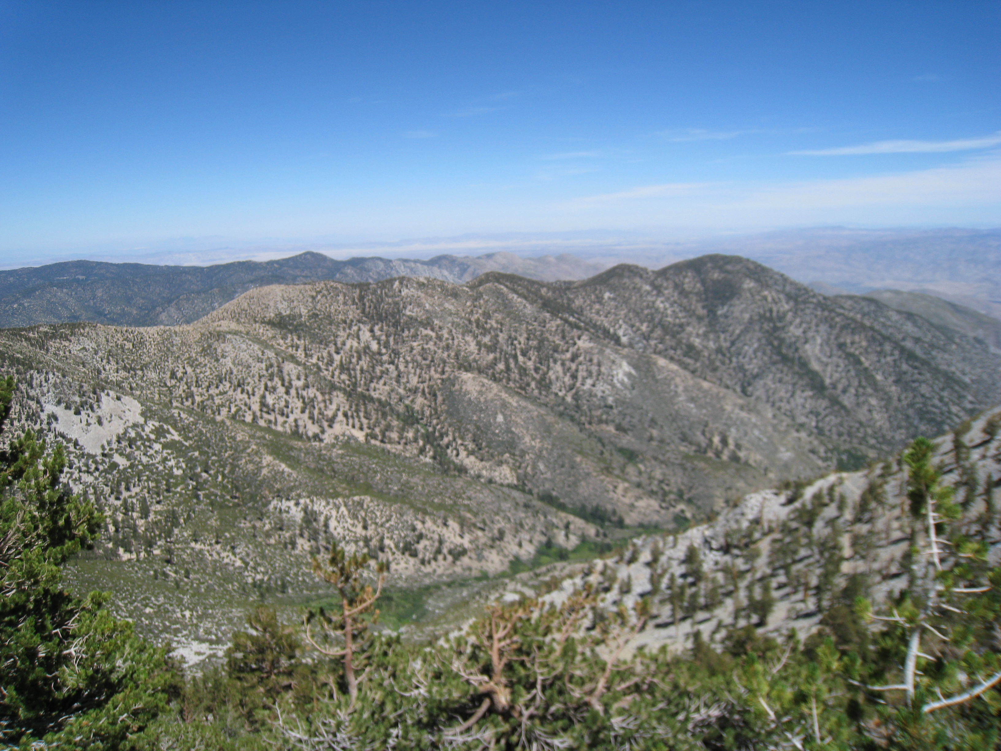
A great view from the Sky High trail above Mine Shaft Saddle.
15 
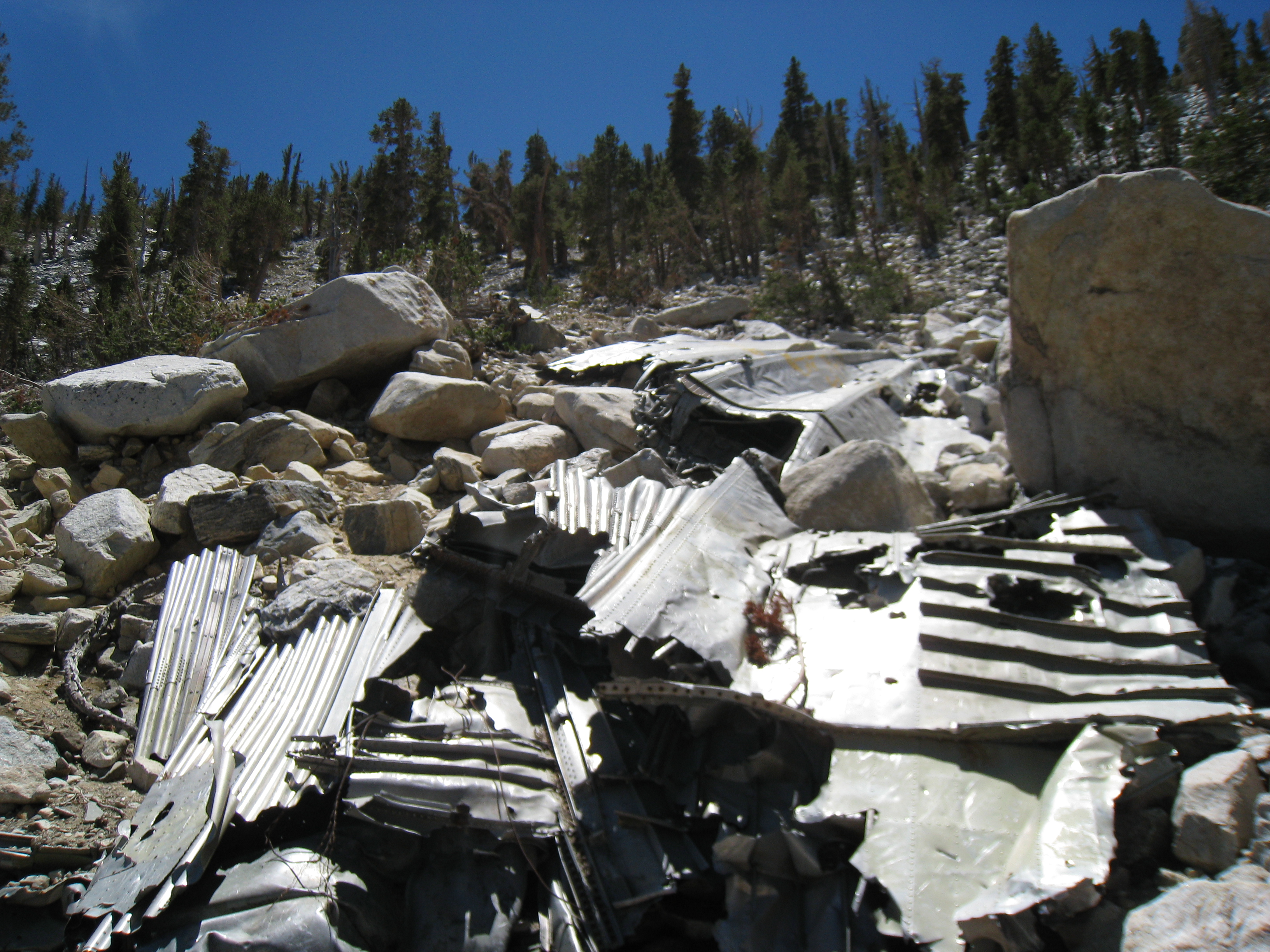
The remains of a military aircraft that crashed into the side of the mountain in 1953. There is wreckage strewn down the slope for several hundred feet.
16 
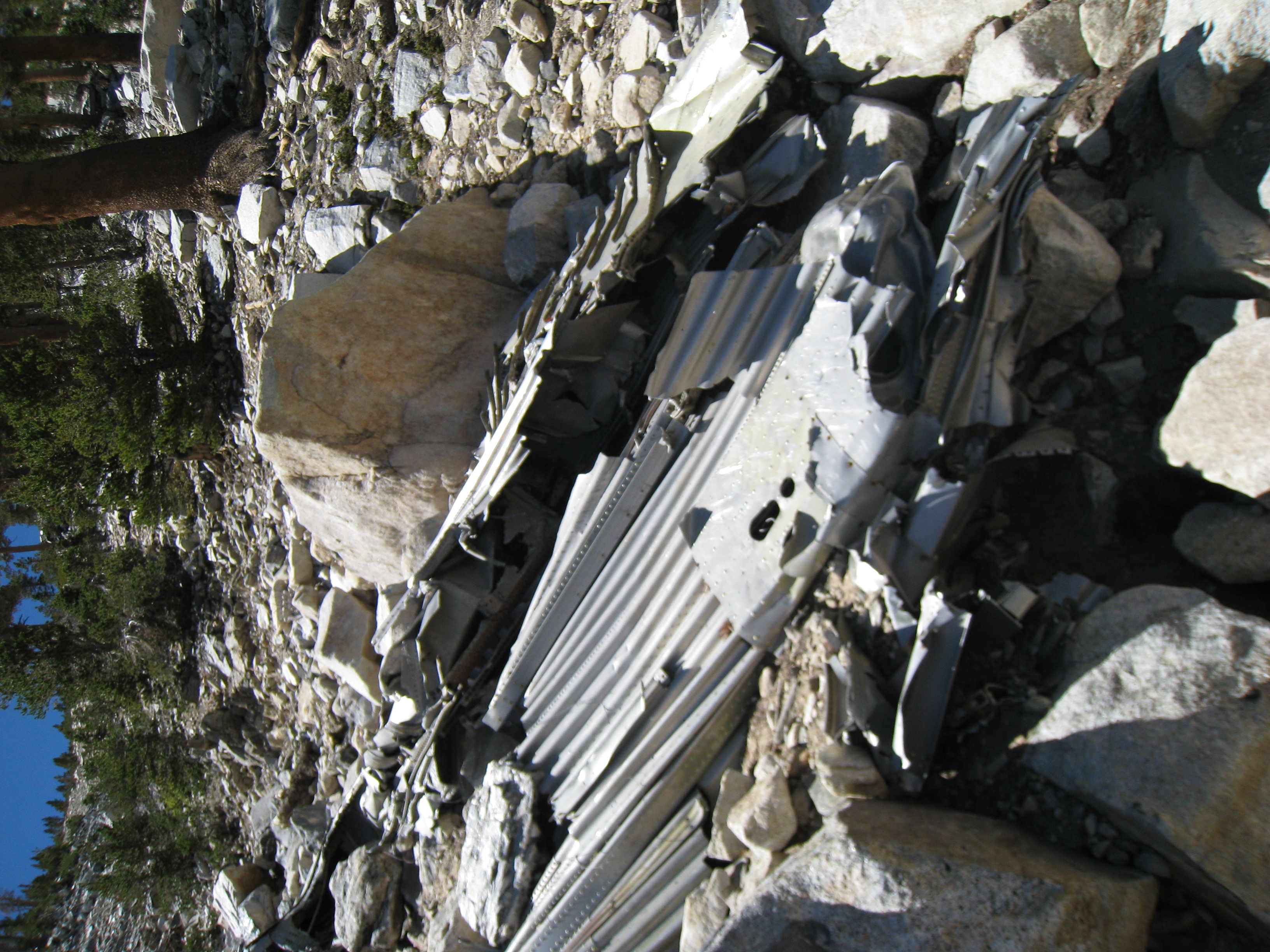
Another look at the plan wreckage.
17 
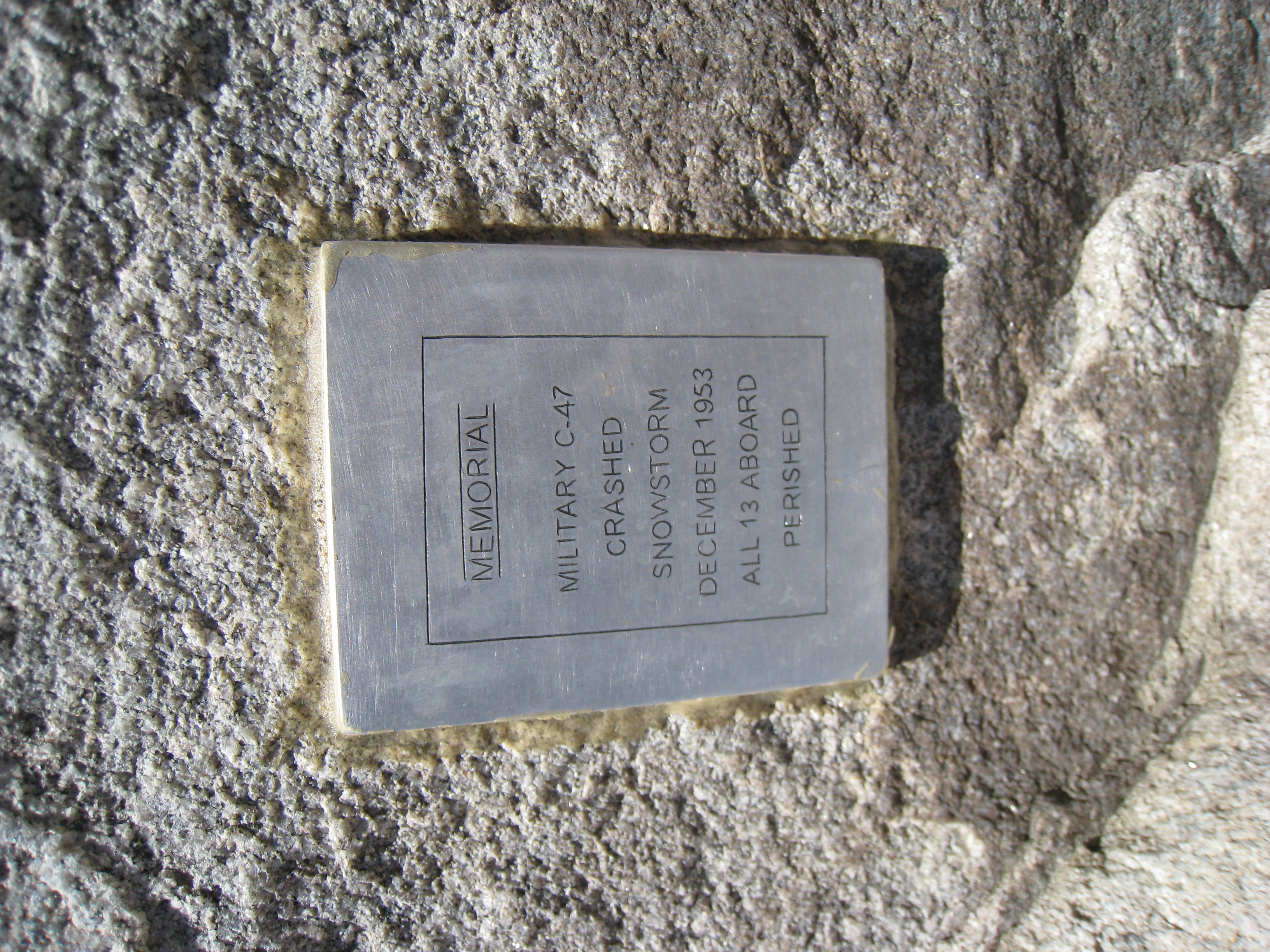
The official memorial plaque at the wreck site.
18 Dad posing next to another cool looking tree.
19 We hit the switchbacks on the Sky High trail at around 10,000'. The going gets tougher, but the views are great.
20 
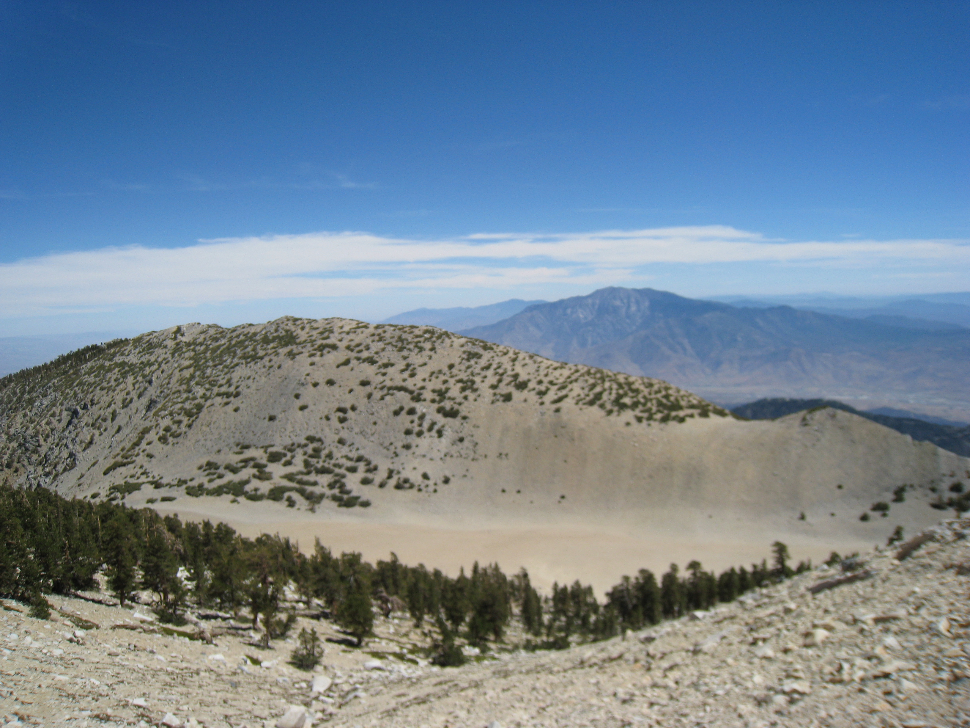
What looks like a sandy beach as we approach the summit.
21 A look towards San Jacinto from just below the San Gorgonio summit.
22 Dad making the final ascent to the summit.
23 The last few hundred yards to the top!
24 We made it! 12.37 miles to the top of San Gorgonio at 11,499'. But it's already after 3:00pm, and it's starting to look like we may be coming down in in the dark.
25 Me, dad, and San Jacinto from the top of San Gorgonio.
26 Our lone snow sighting for the day. Not bad for a sunny slope in mid-August though.
27 One of the many chipmunks on the summit. They remind of the marmots on top of Half Dome.
28 A look towards San Jacinto from the summit.
29 Another picture from the summit.
30 And another...
31 And one more for good measure.
32 Another 360 degree summit video for my collection. Conditions are perfect on top, warm and no wind. We end-up staying for nearly an hour, which means it's now after 4:00pm, and it's becoming clear that we will probably be needing the headlamp before the day is done.
33 A great late afternoon view as we head back down the Sky High trail.
34 The sun is getting low as we descend back down the Fish Creek trail.
35 We finally ran out of light and had to break out the headlamp. Fortunately Dad also had a small flashlight. Though it was pitch black, it was pretty easy going down to the Aspen Grove trail junction. That would soon change though... Somehow we managed to take a wrong turn up what now appears to be an unmarked trail back towards Fish Creek. After nearly a mile of uphill that shouldn't have been there and terrain that didn't look right, we decided we were going the wrong way. Hiking in the dark is definitely less fun when you think you might be lost.
36 After over an hour in darkness, the batteries on both the headlamp and the flashlight were dying. Fortunately, I had extra batteries for both or else we would have really been in trouble. My careful gear packing definitely paid off this trip. After backtracking to the point where we figured we went wrong, we got back on the correct trail and were in good shape again.
37 Dad crossing Fish Creek in the dark, illuminated by only my headlamp and his small flashlight.
38 Finally, at after 10:00pm we finally made it back to the car. Though it would have been nice to avoid the detour we took, it was a beautiful night and the stars were amazing. What fun would the hike have been if it went perfectly?