
San Juan Falls about a quarter of the way counter-clockwise around the San Juan loop. It probably gets to be a decent size in a wet year.
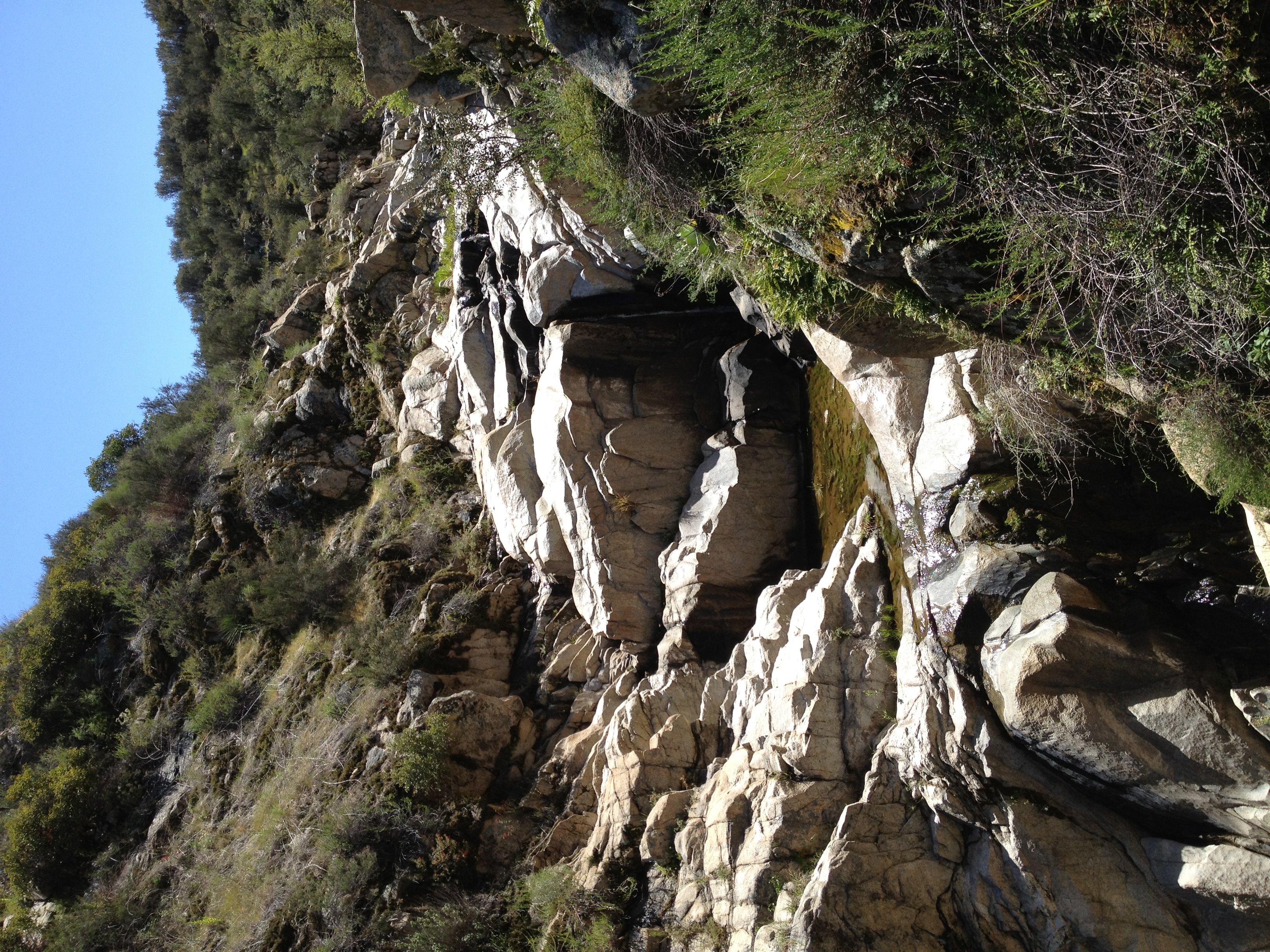
You can scramble down the small canyon all the way to the base of the falls and cascades. I went about half way down but didn't want to spend too much time here…
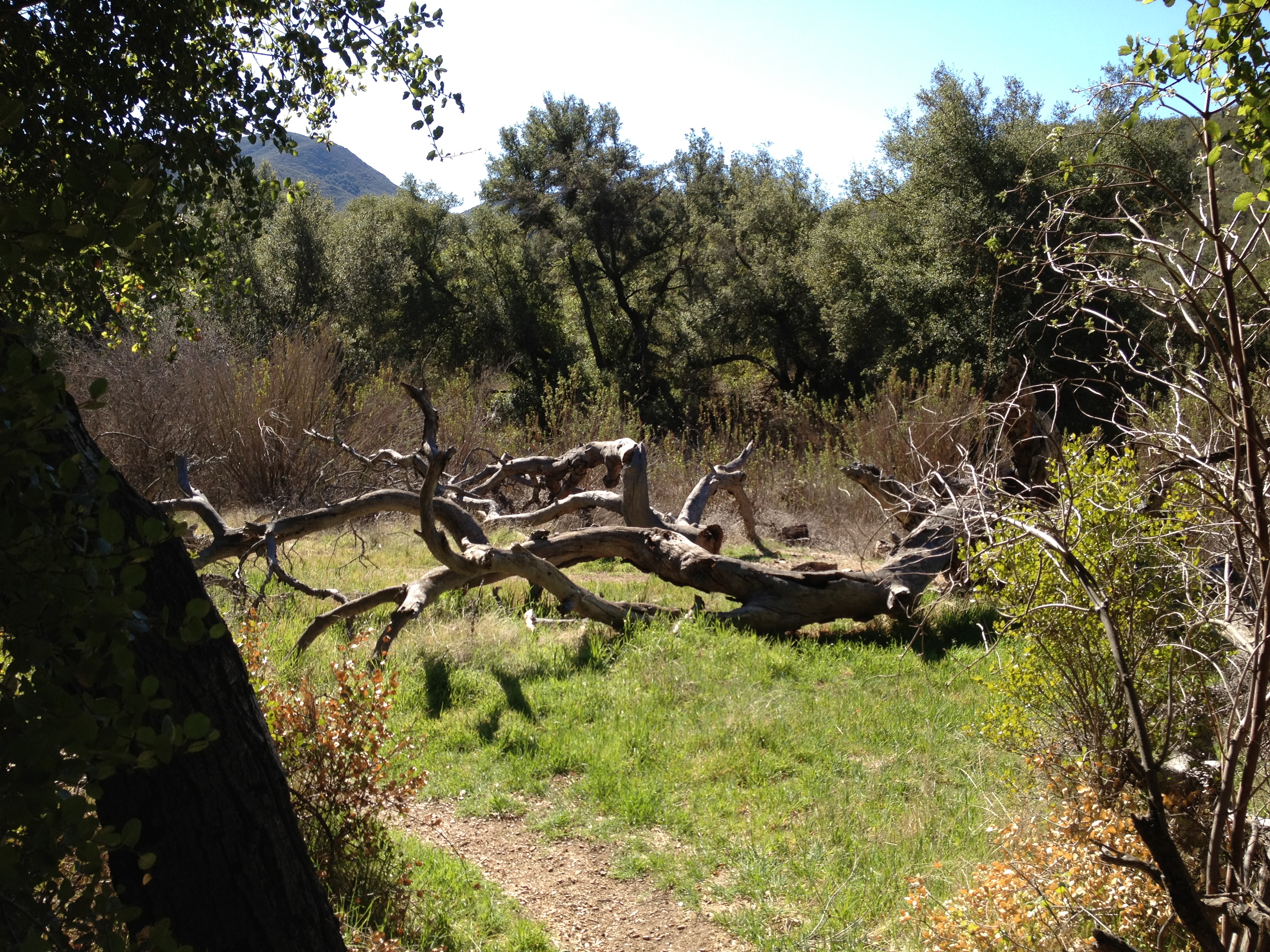
Off the San Juan Loop and onto the Chiquito Canyon trail.

Climbing up towards Chiquito Falls. I believe that's Sugarloaf Peak, my destination for another day.

Almost up to the falls. You can see Santiago in the distance and I believe Los Pinos closer and to the right.
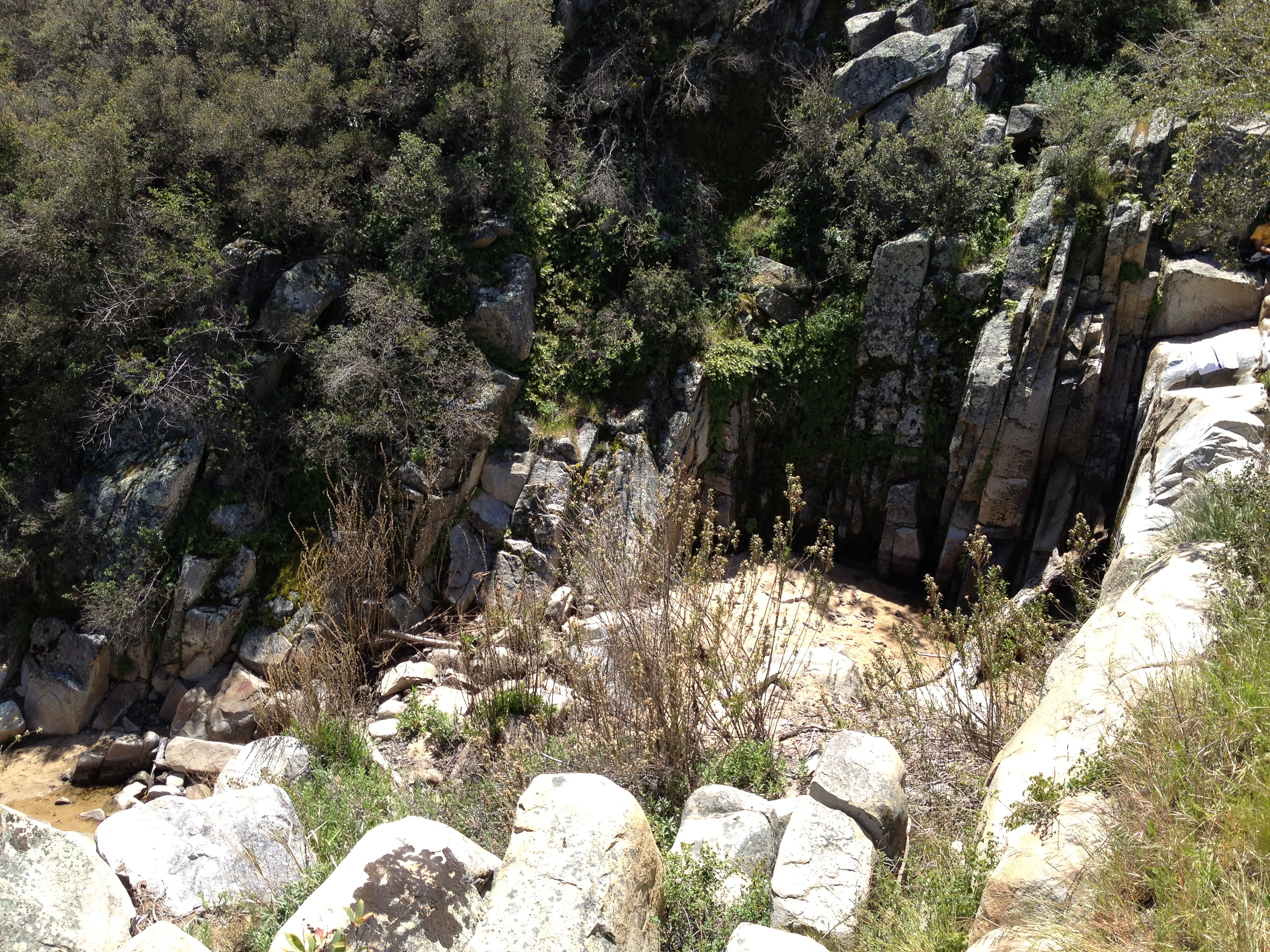
Chiquito Falls. Unfortunately bone dry in what has been a very dry winter.
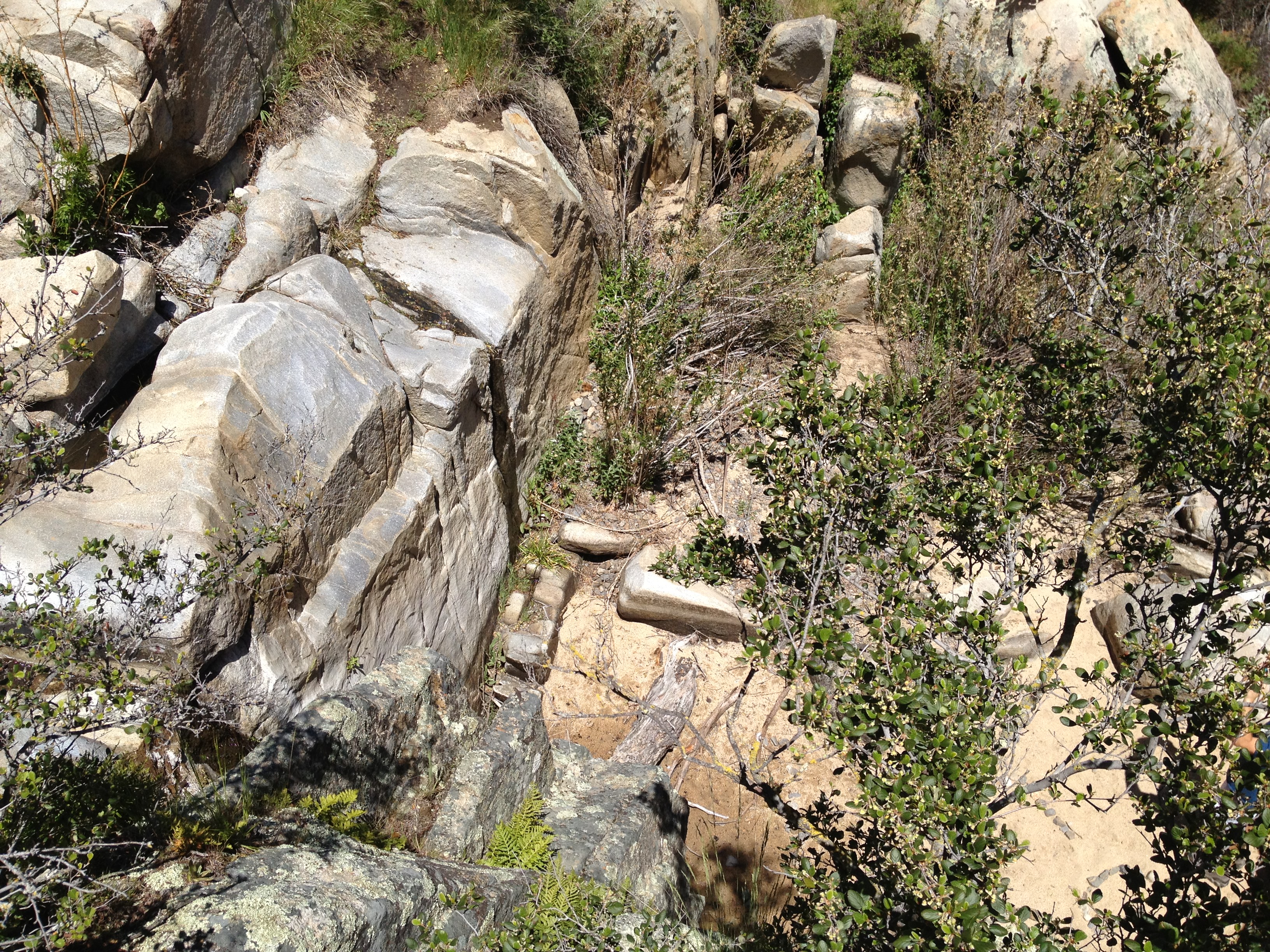
A look at the falls (wet streak) from the other side.
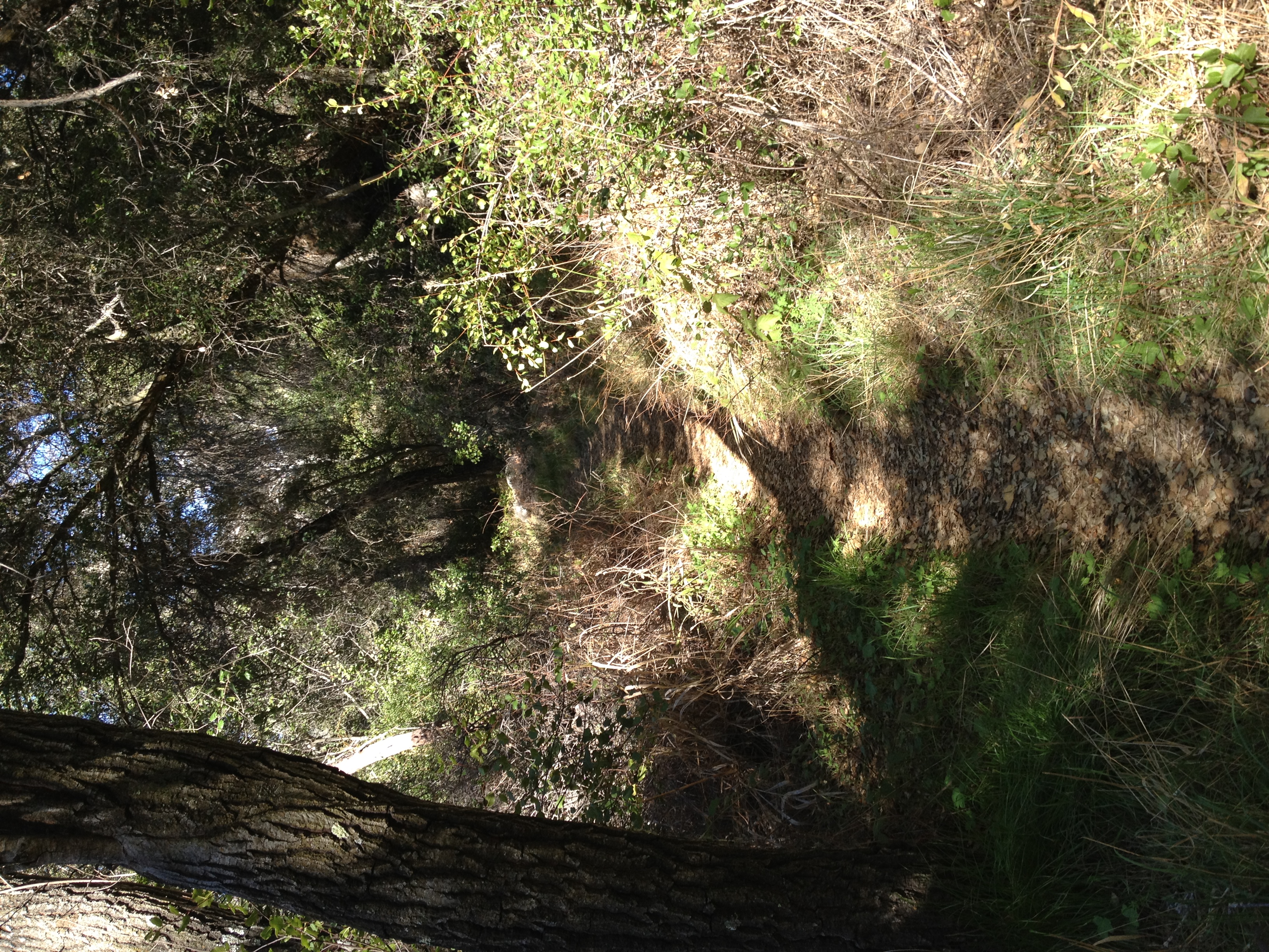
Beyond the falls is some fantastic single track. Easily followable the entire way, but not overly maintained. It's tight enough up here in places, that it gets…

The creek along the trail was probably a torrent in the Spring 2011 storms. Would have been amazing to run this trail shortly after that.
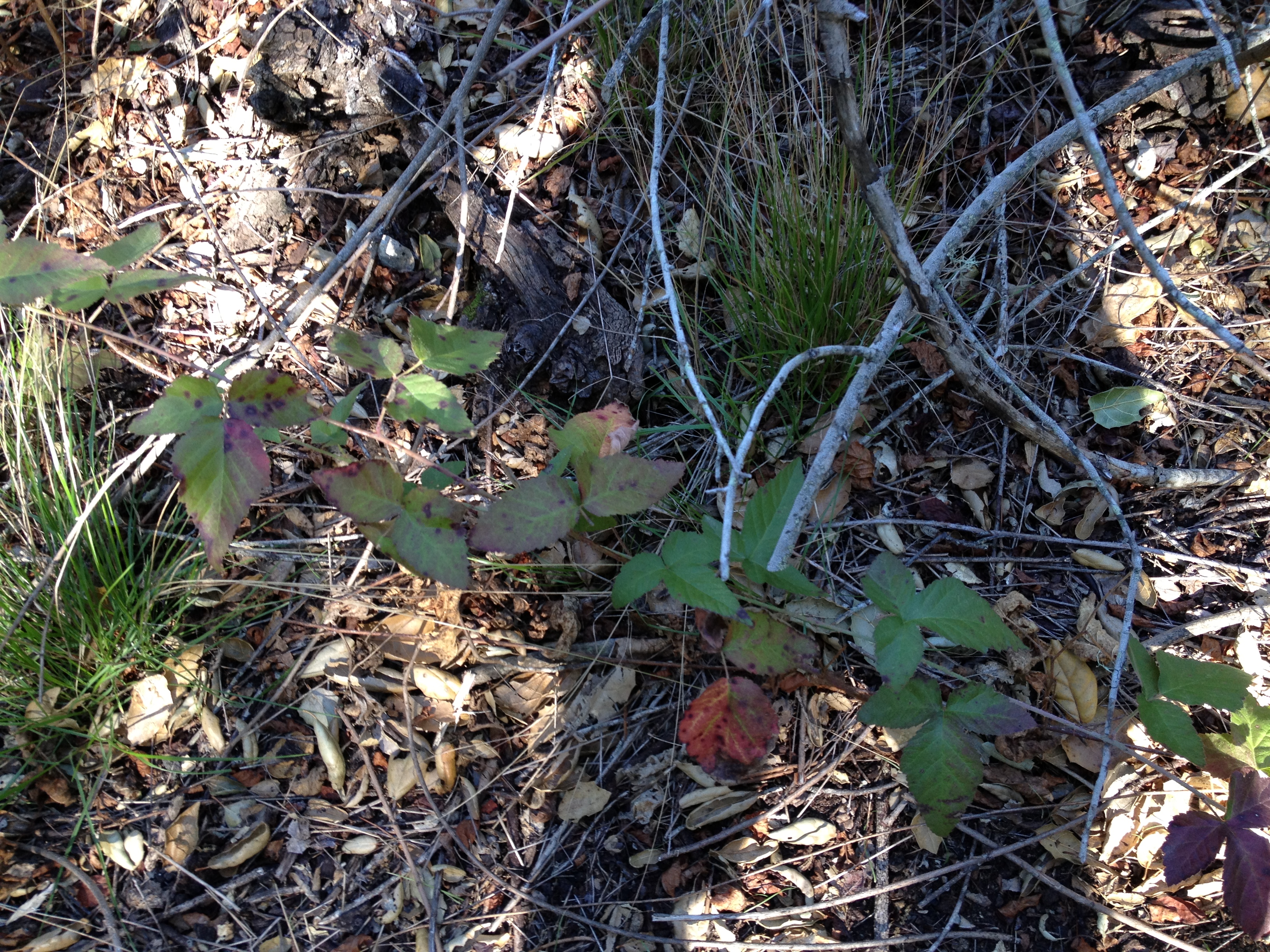
Tons of poison oak up here. I've been lucky so far (knock on wood)...
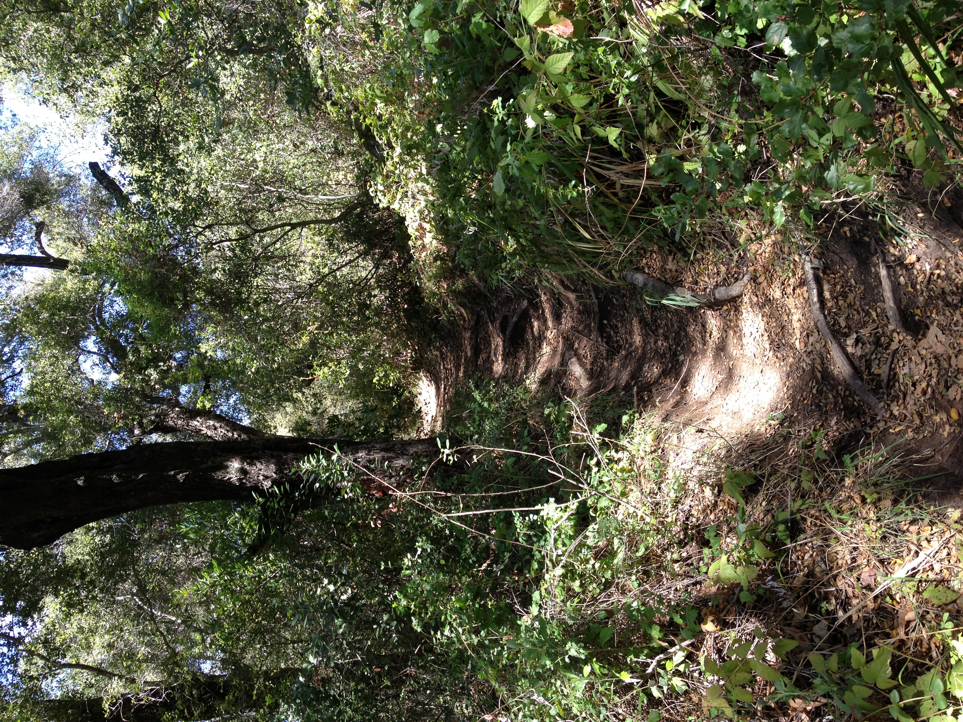
There are even some sections with Dipsea style roots.
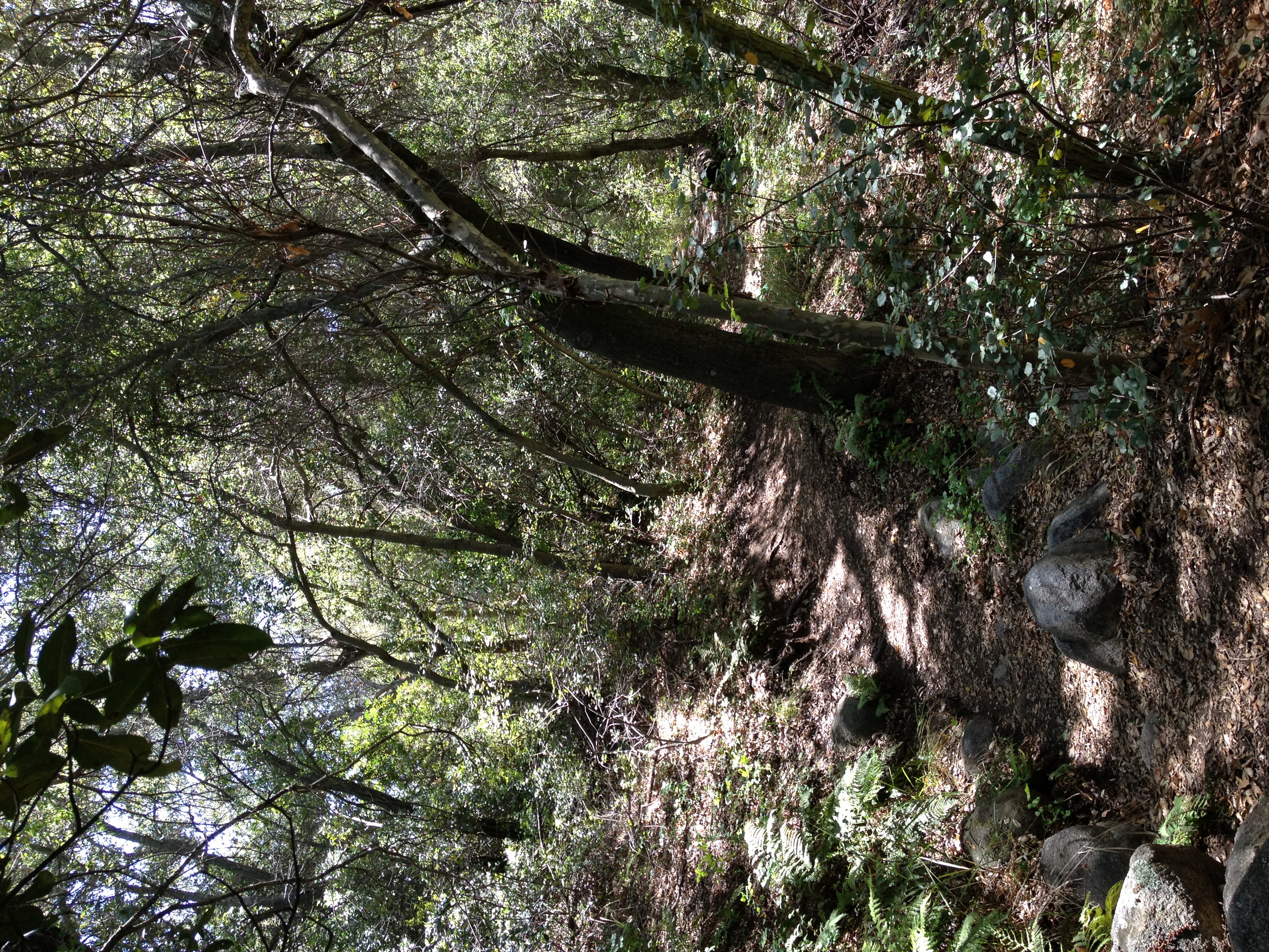
Not too bad for a local trail!
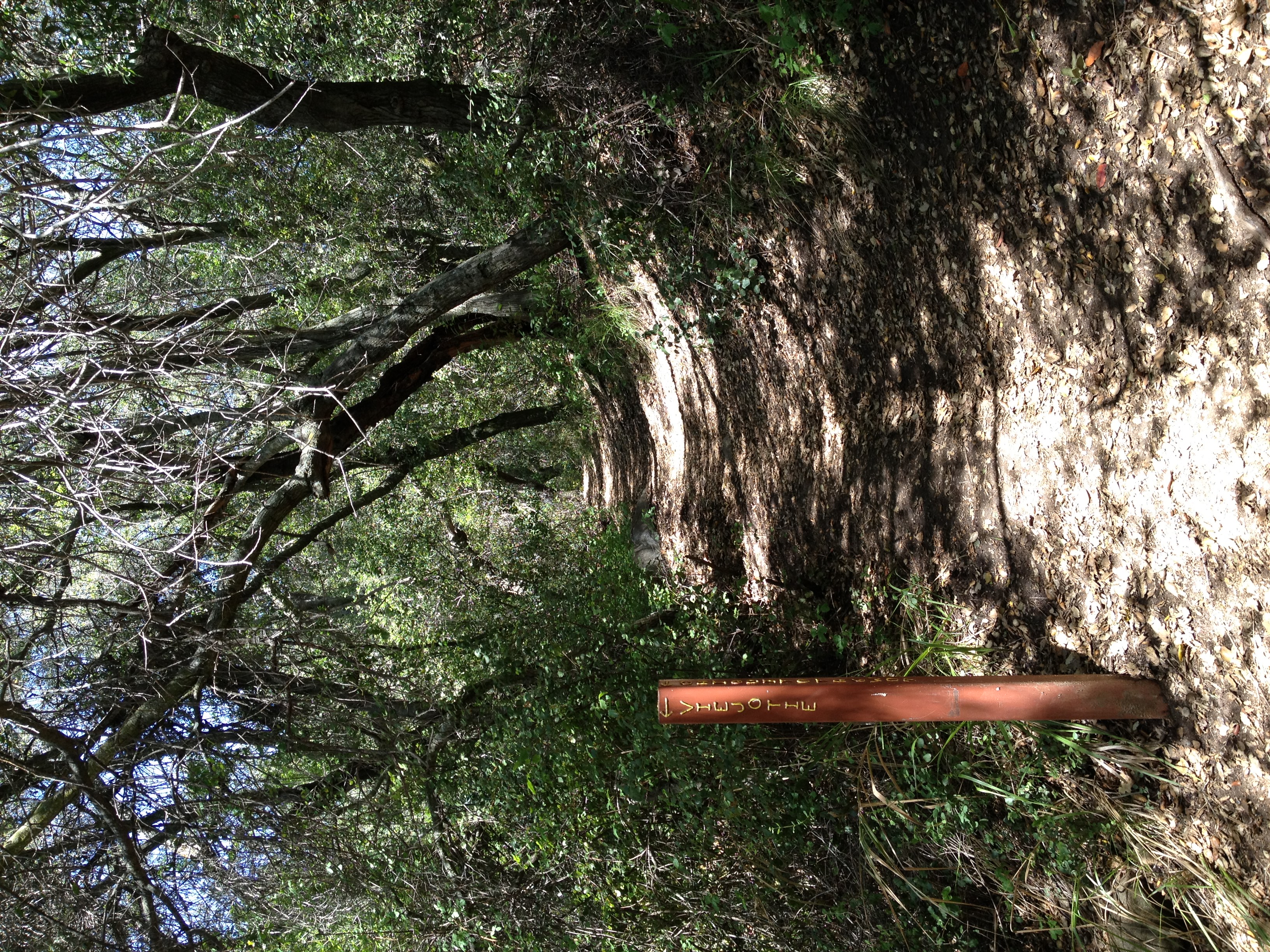
The Viejo Tie junction. More trail to explore for another day. For now, I head straight towards Bluejay Campground.
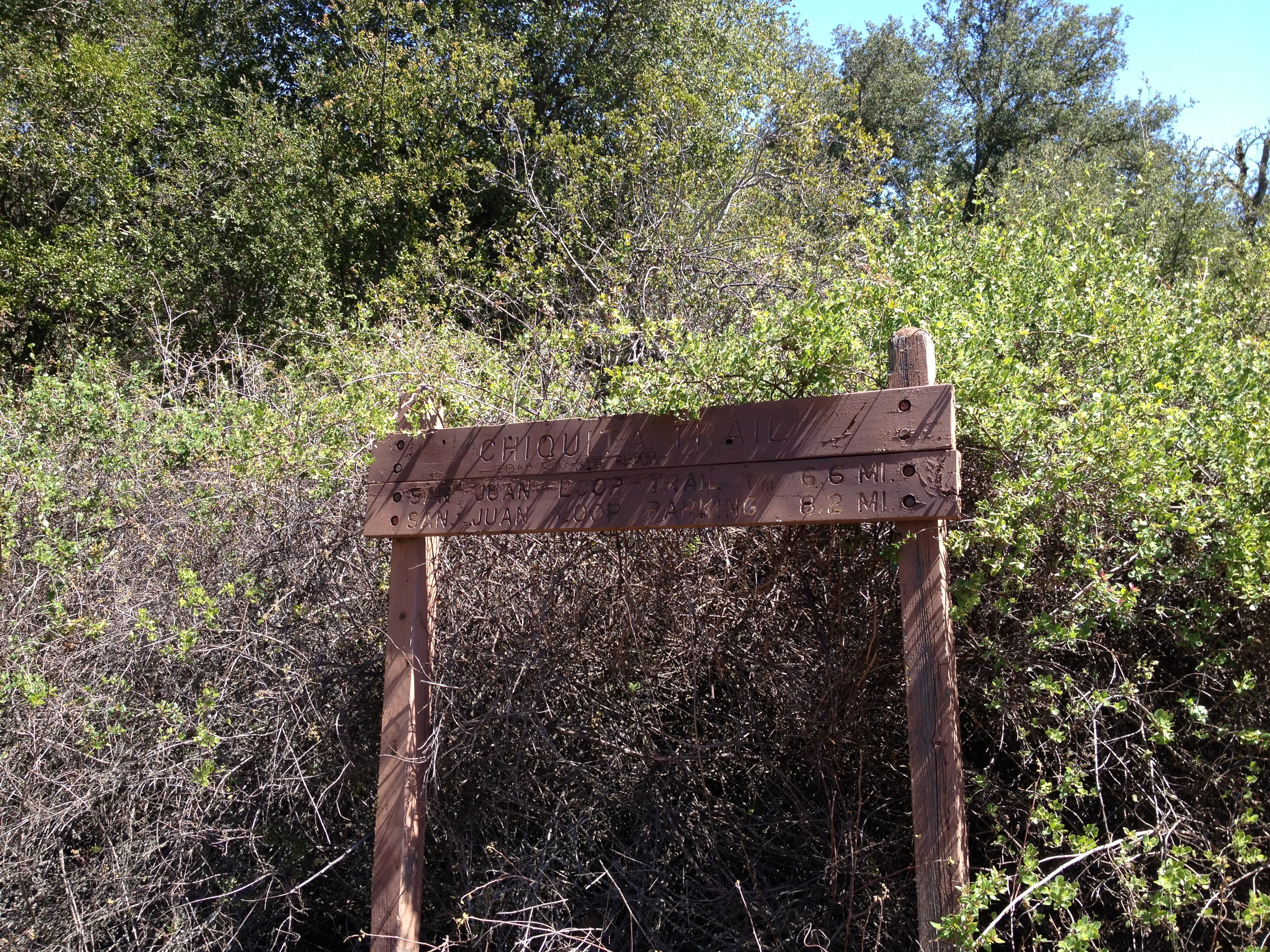
I question the accuracy of these signs. My GPS is actually showing much less distance from the trail head.

A big lizard.

Some great hill views from the ridge headed towards Bluejay Campground.

The last couple miles towards Bluejay are mostly exposed with little tree cover, but there's some more great single track immediately surrounding Bluejay. It's…

Made it to Bluejay Campground. You can of course drive here via a small road off of Ortega Highway, but it's much more fun to run 10 miles to get here.

It's actually a very nice campground. It's now time to head back to the Candy Store. The highlight of my day was definitely randomly meeting Big Baz on the way…
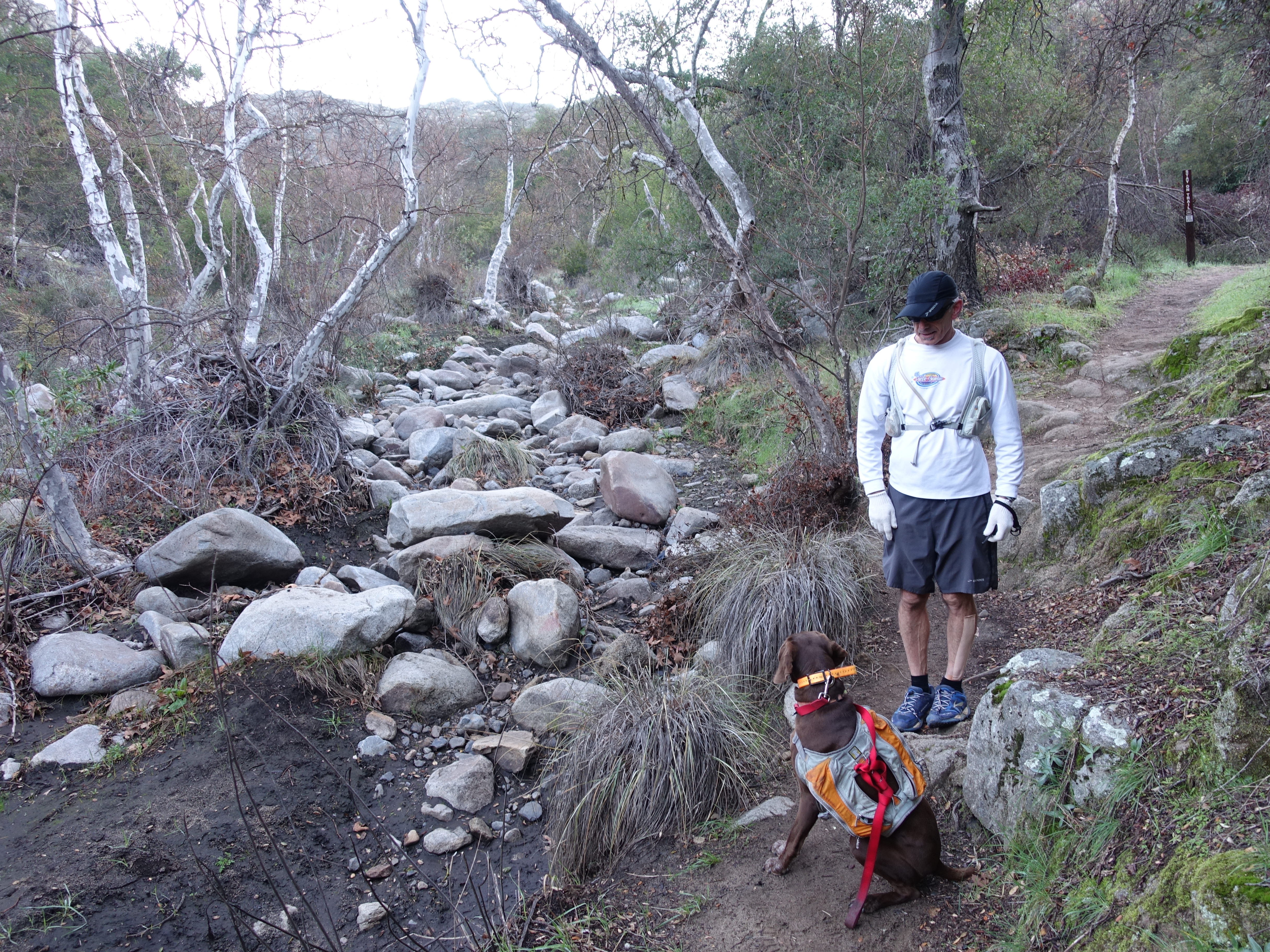
Another trip to Chiquito, this time with Dr. Rock and Rufus.