Iron Mountain
2/19/12 Widely considered to be the 2nd hardest trail in Southern CA behind C2C. Over 7,000' of gain and 15 miles to an elevation of right around 8000'. For some reason I had the urge to try doing it for time. I managed to do it in 5:34 round-trip (not including time on top).
 1 Headed up the Heaton Flats trail to Heaton Saddle. I had been here exactly one week earlier and went about half way. Today the plan was to finish the job. It's a beautiful morning with a slight chance of snow in the afternoon. I'm not quite sure what to expect in terms of weather, snow on the trail, etc., so I have more gear packed than normal. Though trivial compared to heavy backpacking gear, it's still probably the most weight I've ever tried to run with. |
 2 The first sign of snow at just over 4000'. There would be patches of snow along the trail for much of the way, but never anything that made finding the trail difficult or slowed my pace. |
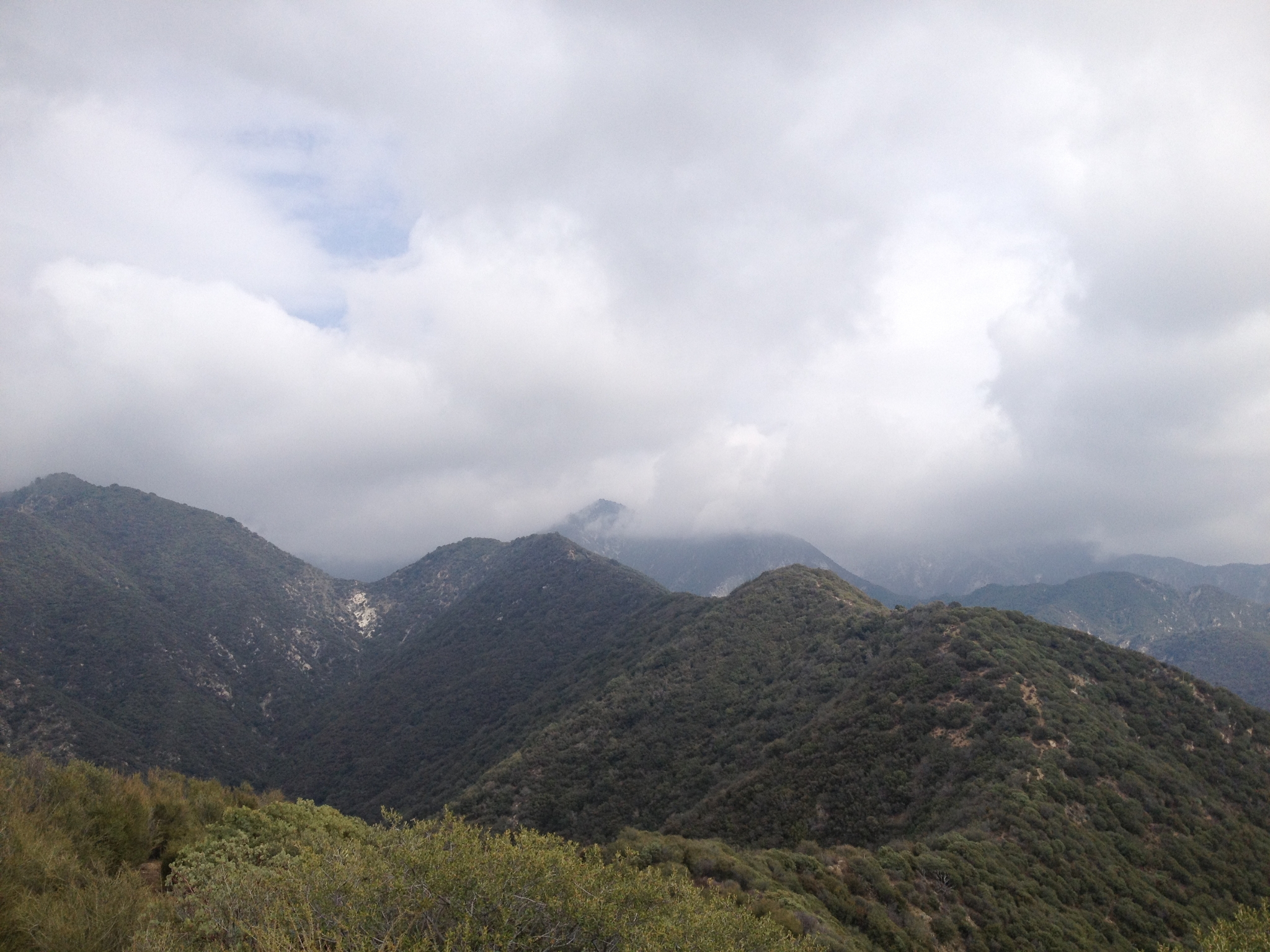
 3 Back to Heaton Saddle where I left off last time. Over half the way to the summit mileage-wise, but less than a third the way based on elevation gain. Like Skyline on C2C, the trail from here on out is a "use" trail. Not on any map and not on my GPS. It's maintained only by its own use. Years ago the trail here was evidently very hard to find, but now it gets enough use that it's pretty easy to follow the whole way. |
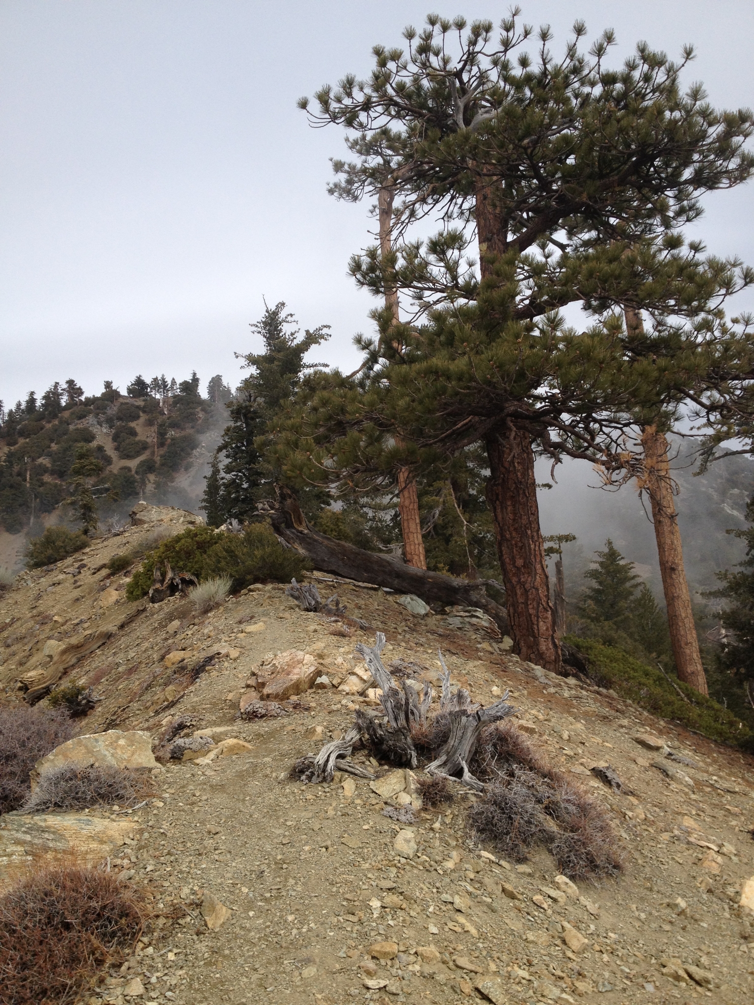
 4 I believe this is a marker indicating where you can head down to the abandoned Allison gold mine. There is no trail that I can see, but it's supposed to be a fun detour. The mine supposedly still has the rail and cars and old equipment lying around. I'll have to save that for another day. |
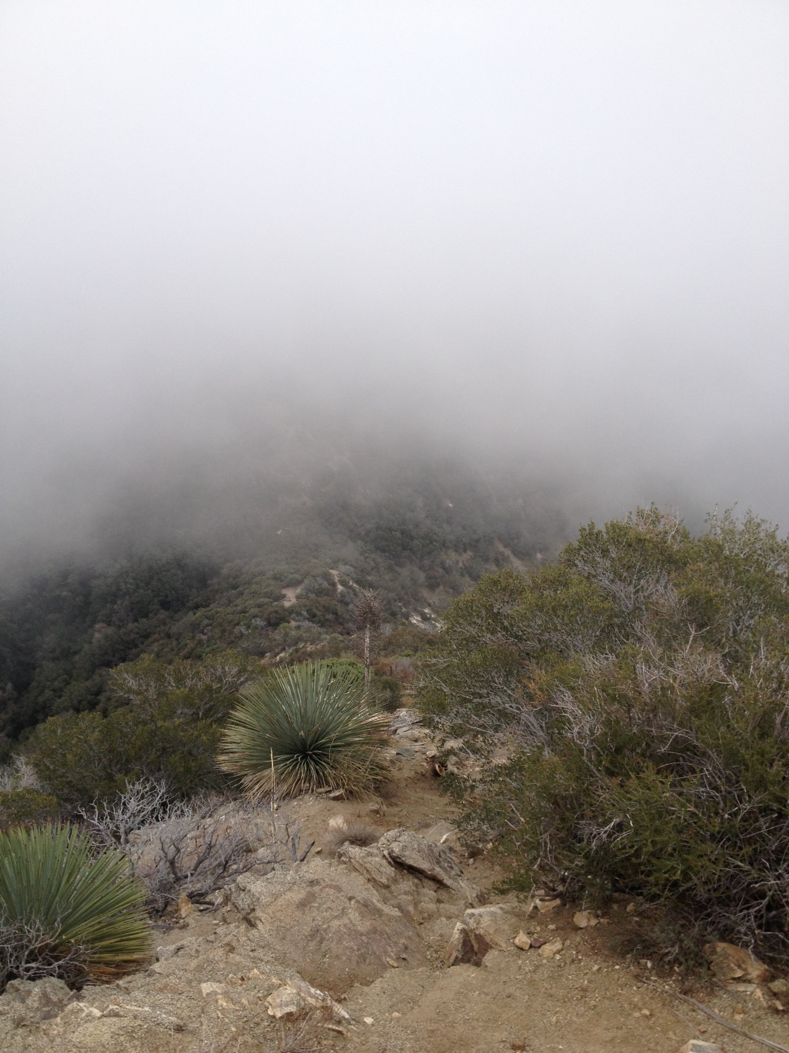
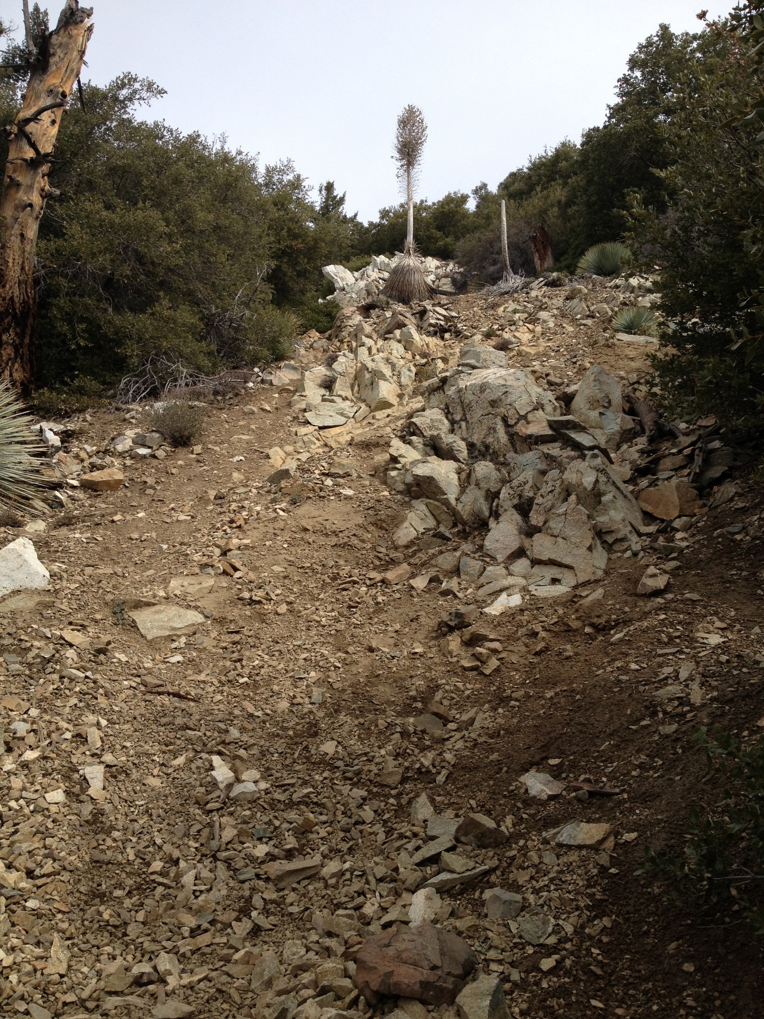 5 A typical steep scramble up loose rocks and dirt. Cactus to Clouds has a couple sections of similar grade towards the end, but there you often have large rocks to use as steps. Doing comparable grade in this loose footing seems much harder. The goal is to just keep moving as fast as possible, whether that happens to be a run, power hike, walk, or crawl. |
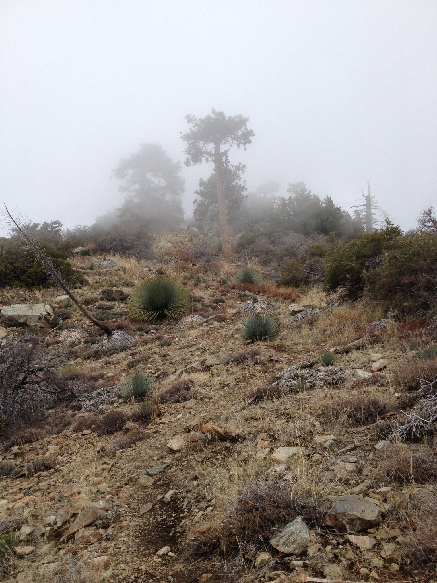 6 Another steep section of trail and the storm clouds are starting to move in. Normally I would love to get a little snow, but today my goal was time, so I was hoping the weather would hold out. I got lucky, and the weather was perfect the whole way. The temperature drops fast though once you get into the clouds. |
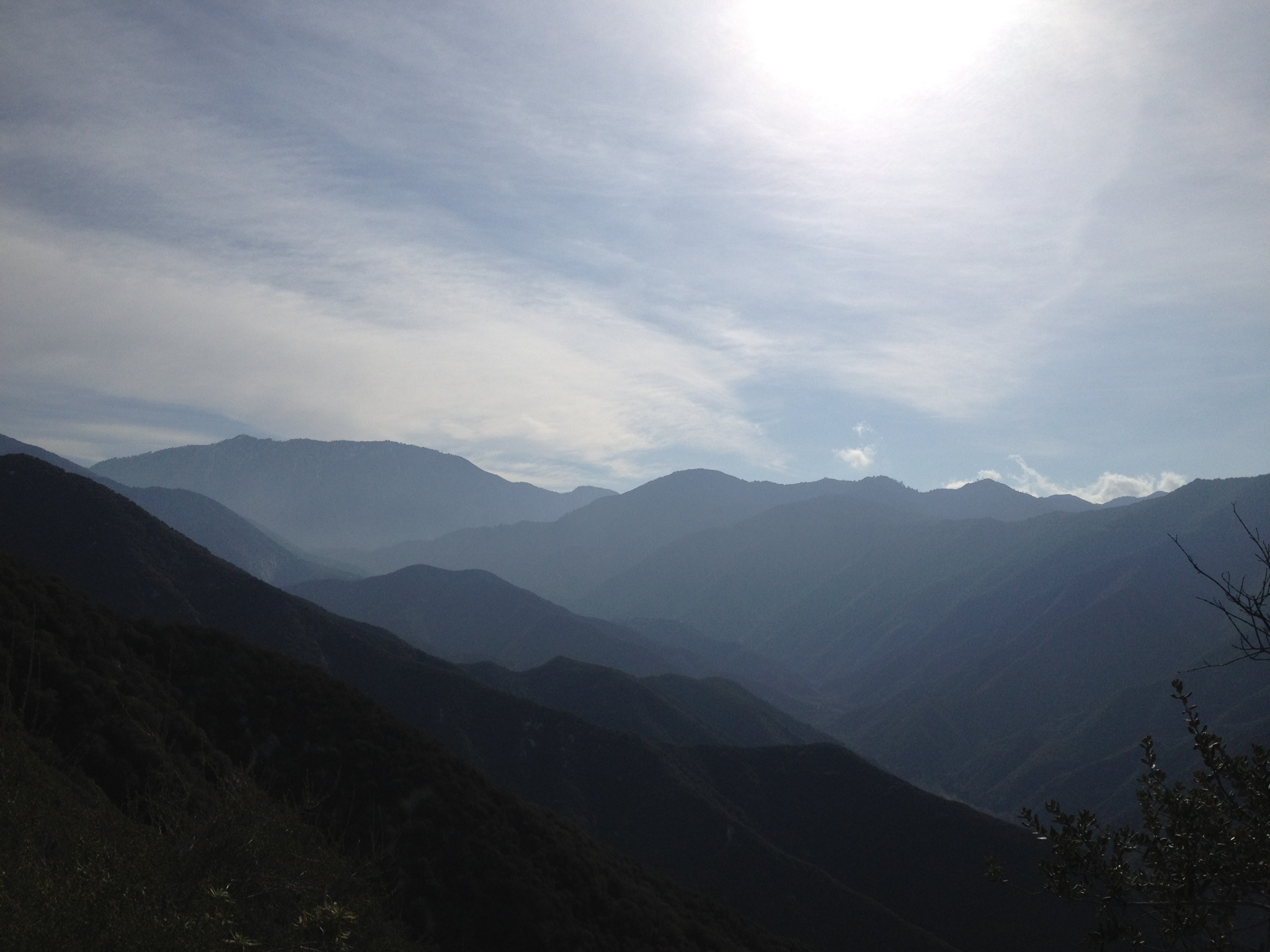
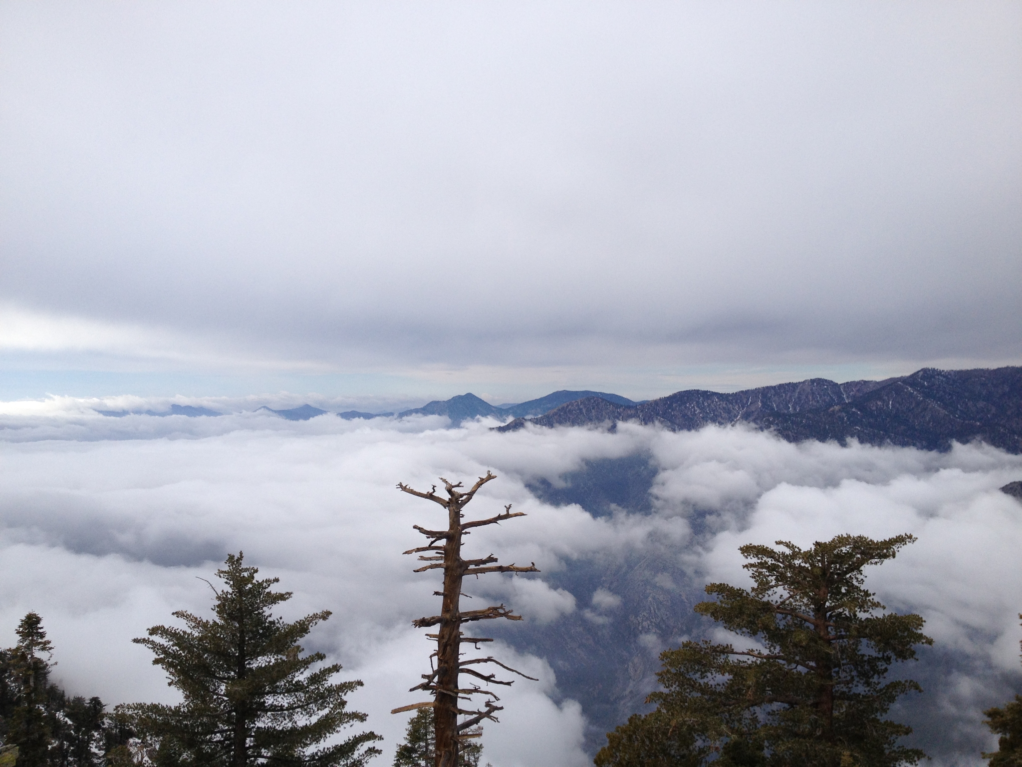
 7 One of my favorite views from recent trips. Solid white cloud layers both above and below with just the Mt. Baldy peak poking out from the cloud bank. |
 8 The ridge approaching the summit. Somewhat remiscent of the North Backbone Trail on Baldy. |
 9 A cool rock formation above the sea of clouds. |
 10 Made it! 3:22 from the trailhead to the summit. Not a bad time for nearly 7000' feet of gain. I don't see a geological summit marker, but there is this makeshift marker together with a sign-in jar. I saw no one above the saddle and no one the whole way down, so I was the only person to summit today. |
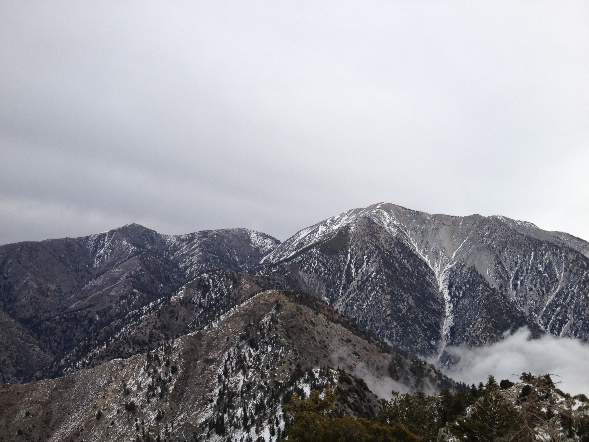
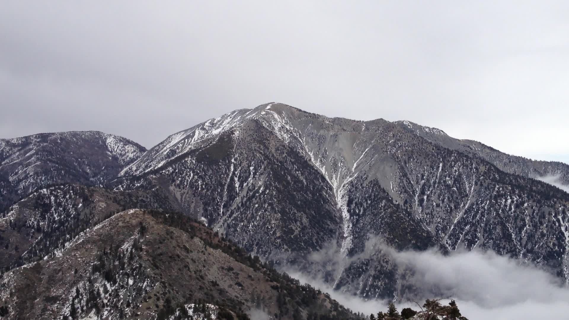
 11 Looking out towards the ocean. Not the amazing ocean view you probably get on a clear day, but amazing nonetheless. |
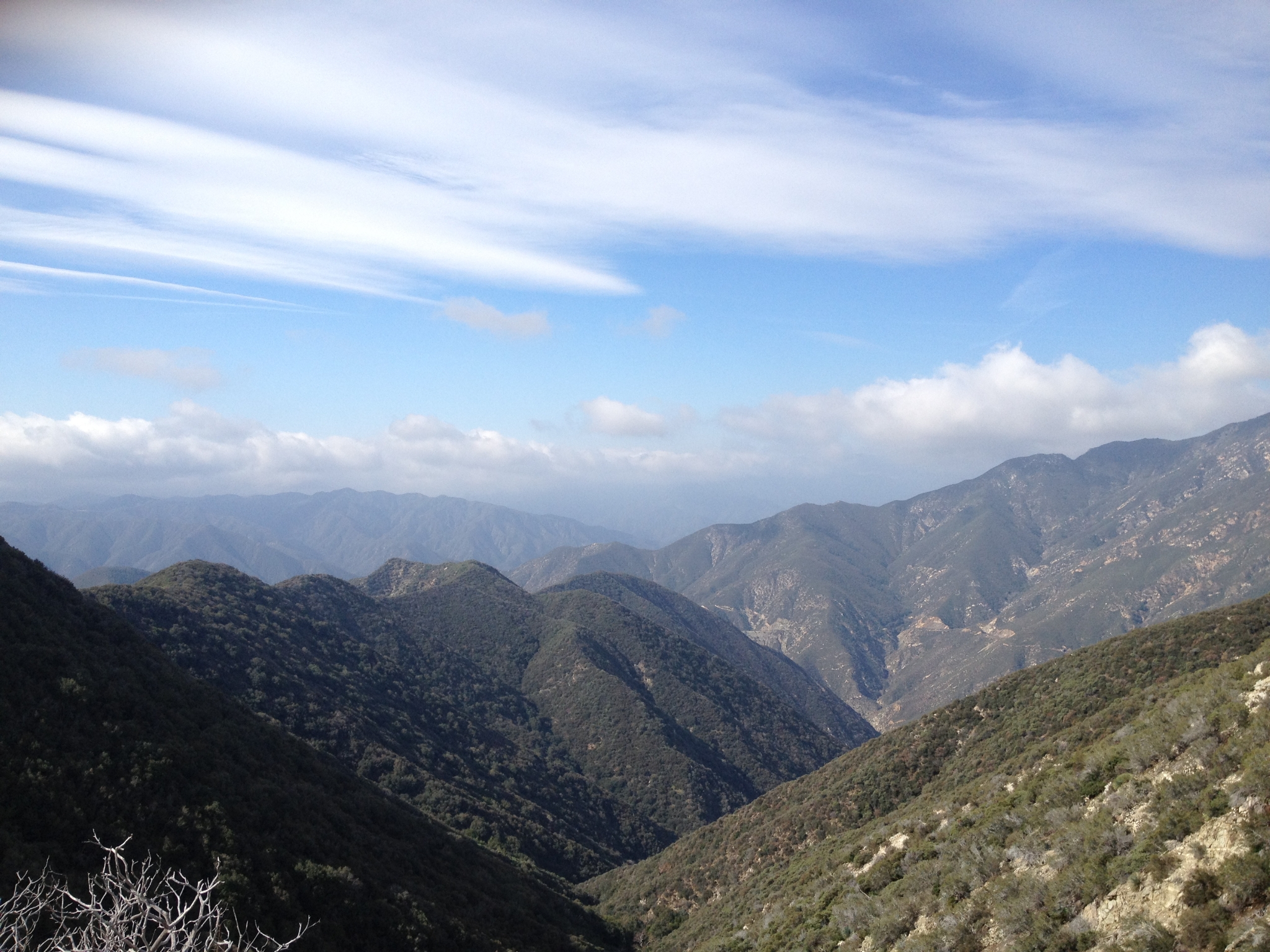
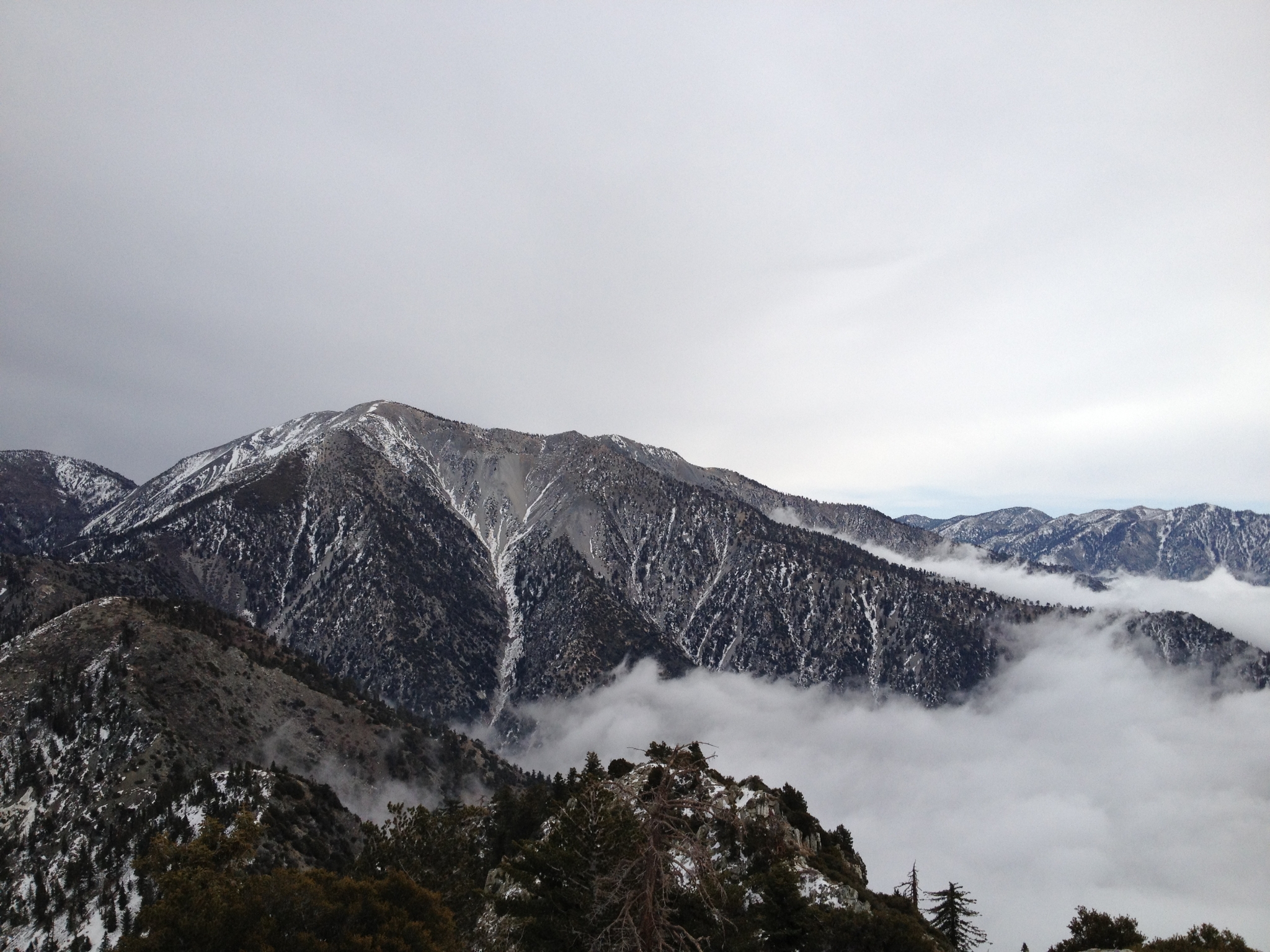 12 More great cloudy views of Mt. Baldy, which seems so close. Evidently there is a completely unmarked, and very difficult route over the ridge to the Baldy summit. Maybe next time... |
 13 It was pretty cool how the clouds drifted into the shoulders of the mountain. |
 14 Good view of Pine Mtn. and Dawson Peak. |
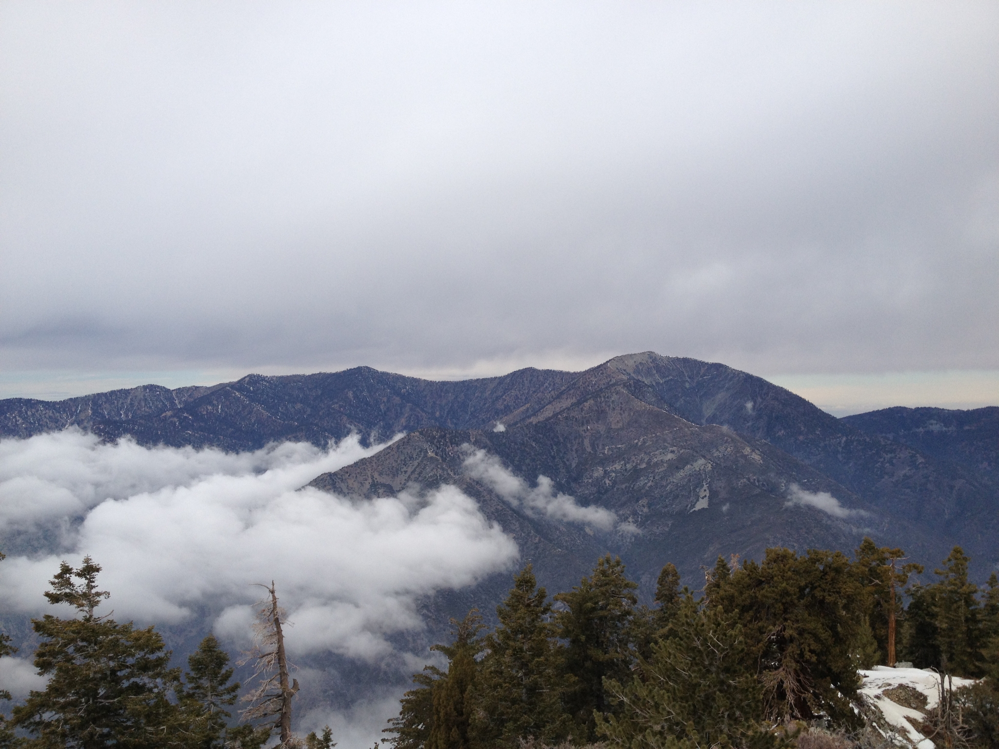 15 Mt. Baden-Powell to the Northwest. On my to-do list for the Spring. Somewhere far down below is the East Fork of the San Gabriel River cutting the deepest canyon in Southern CA at just over 6000' deep (deeper than the Grand Canyon). |
 16 Another summit view. |
 17 The 360 summit video. |
 18 35.3 degrees on top... |
 19 ...and yes I'm still in shorts. But not for long. Once you stop moving, it gets cold fast! I spend a while on top, eat a little food, and then head down. |
 20 A look at another fun section of "trail". Extremely steep loose dirt and gravel. Trying to come down these sections with any semblance of speed was the ultimate quad buster. My quads, hip flexors, and abs were fried for a week afterwards. |
 21 Looking down at the saddle. The clouds help give it a little sense of scale. It's something like a 500' drop here in a few hundred yards. |
 22 One last look back at the ridge, saddle, and all the ups and downs. There's just a few miles left now of steep, but much smoother downhill. I fly down the last couple of miles and finish with a round trip time of 5:34, not including time on top. I didn't come close to doing 2:1 time on the way down even though I was moving fast on the bottom half. The top half wasn't much faster going down than up. In the end, I agree that Iron Mountain is the 2nd hardest uphill in Southern CA (though the backside of Baldy is a close third). And I officially award Iron Mountain the #1 hardest downhill in Southern CA. |
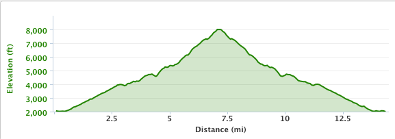 23 The elevation profile for Iron Mountain from my Garmin 405. Pretty much how you would expect the elevation profile of a mountain to look. |