The Results

A few maps and elevation plots generated from the GPS data taken during the run.
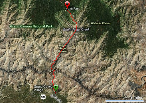
R2R2R_bing A Bing map for the first half of the run, from the South Rim down the South Kaibab trail to the Colorado River and then up the North Kaibab trail to the North...
A Bing map for the first half of the run, from the South Rim down the South Kaibab trail to the Colorado River and then up the North Kaibab trail to the North…
R2R2R_elevation_forerunner Elevation plot from the first half of the run. GPS data is from the Garmin Forerunner 405.
Elevation plot from the first half of the run. GPS data is from the Garmin Forerunner 405.
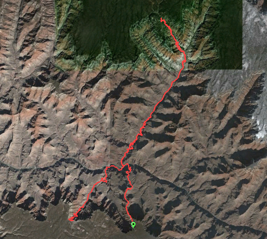
R2R2R_googleearth Google Earth map showing the full round-trip including the return up Bright Angel. GPS data is from a Garmin Oregon 300.
Google Earth map showing the full round-trip including the return up Bright Angel. GPS data is from a Garmin Oregon 300.
R2R2R_elevation_oregon300 Elevation plot for the full round-trip, with the North Rim being in the middle and the South Rim being on both ends. GPS data is from the Garmin Oregon 300.
Elevation plot for the full round-trip, with the North Rim being in the middle and the South Rim being on both ends. GPS data is from the Garmin Oregon 300.
trailguides All historical and geological information for this R2R2R photo scrapbook is based on information from the South Kaibab, North Kaibab, and Bright Angel Trail...
All historical and geological information for this R2R2R photo scrapbook is based on information from the South Kaibab, North Kaibab, and Bright Angel Trail…