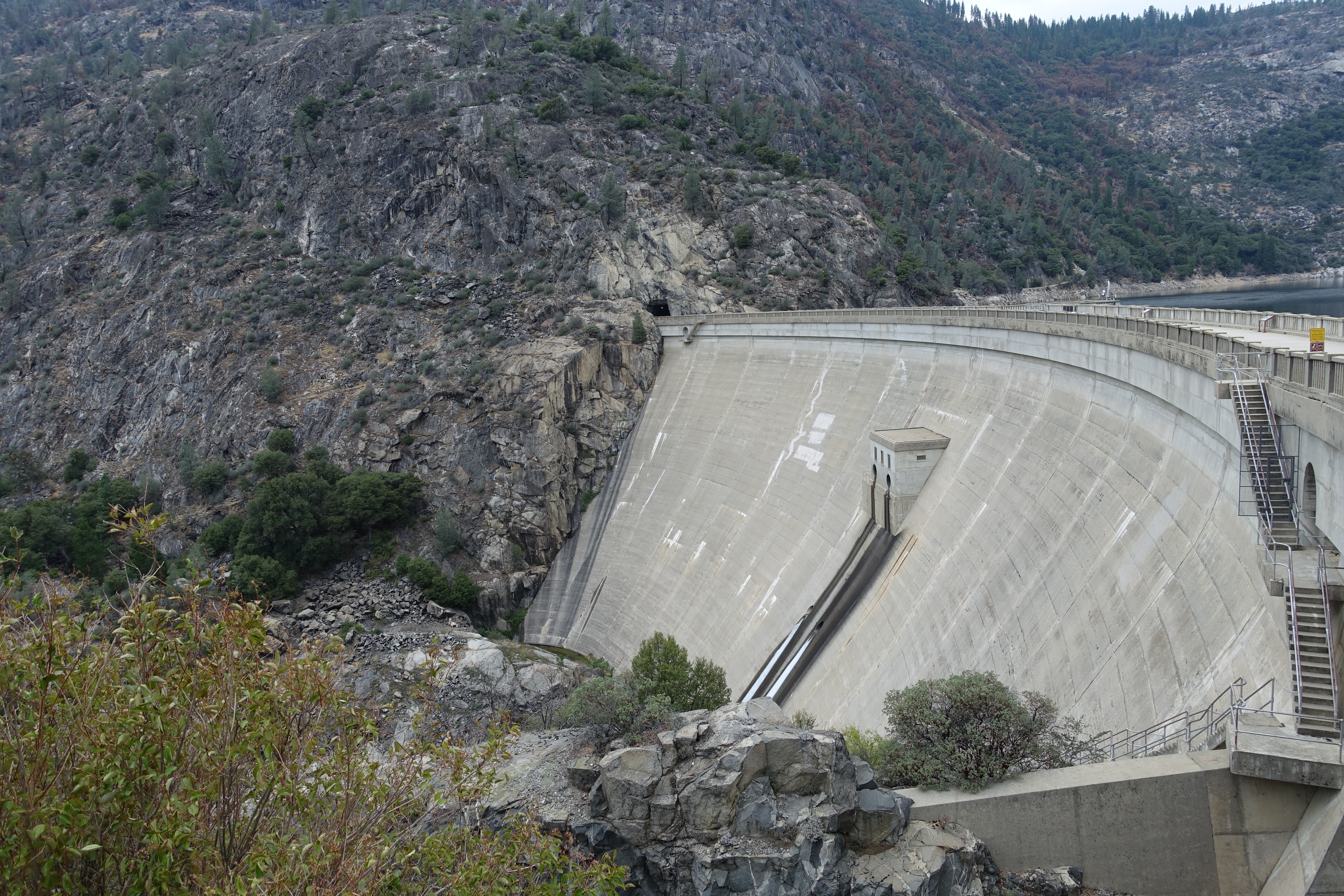
O'Shaughnesssy Dam. One of the great tragedies of the National Park system. Built from 1914-1934, it supplies nearly all of the water to the San Francisco Bay…
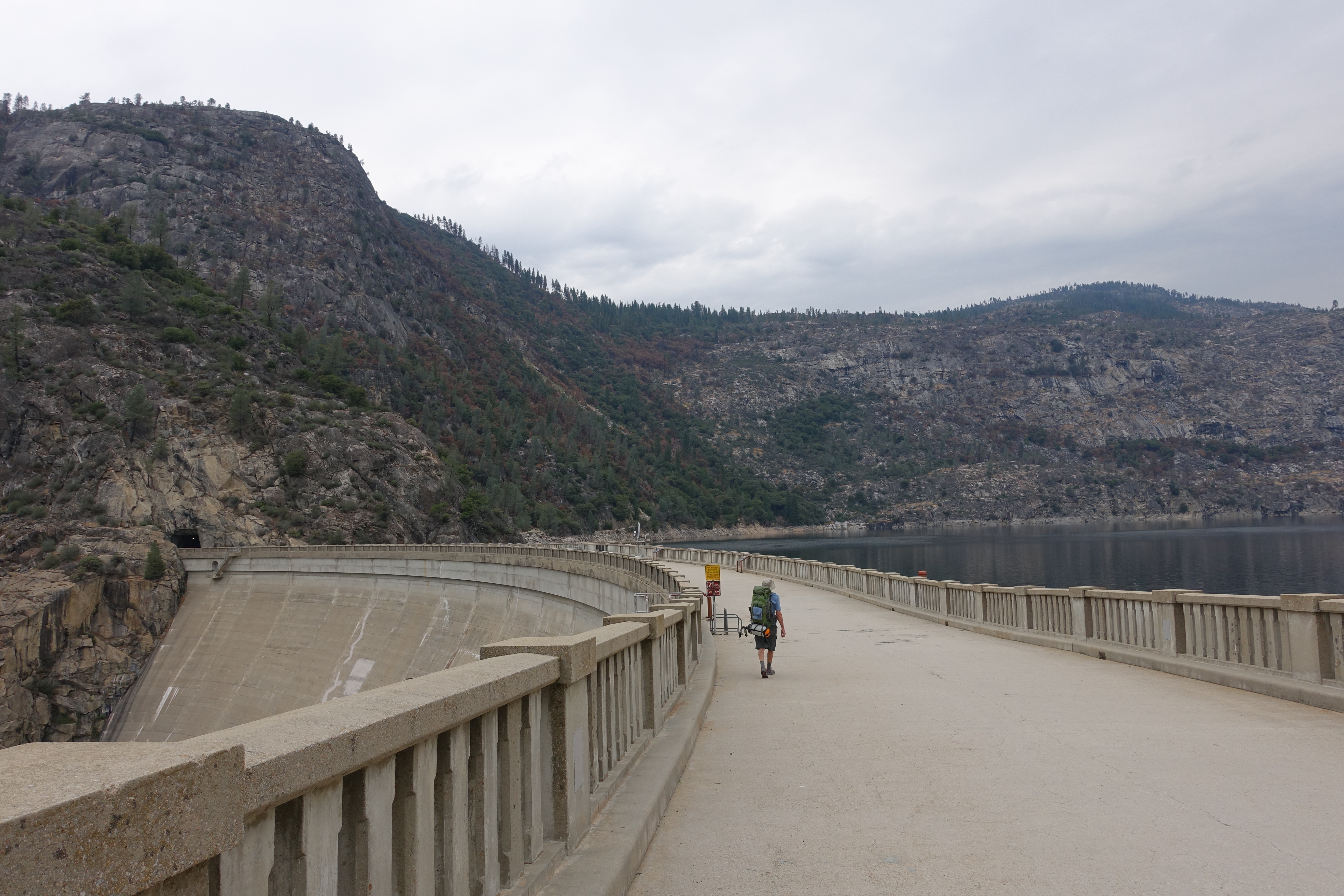
Heading 900' across the top of the dam to the trailhead. This will be the last time I refer to the dam or reservoir!
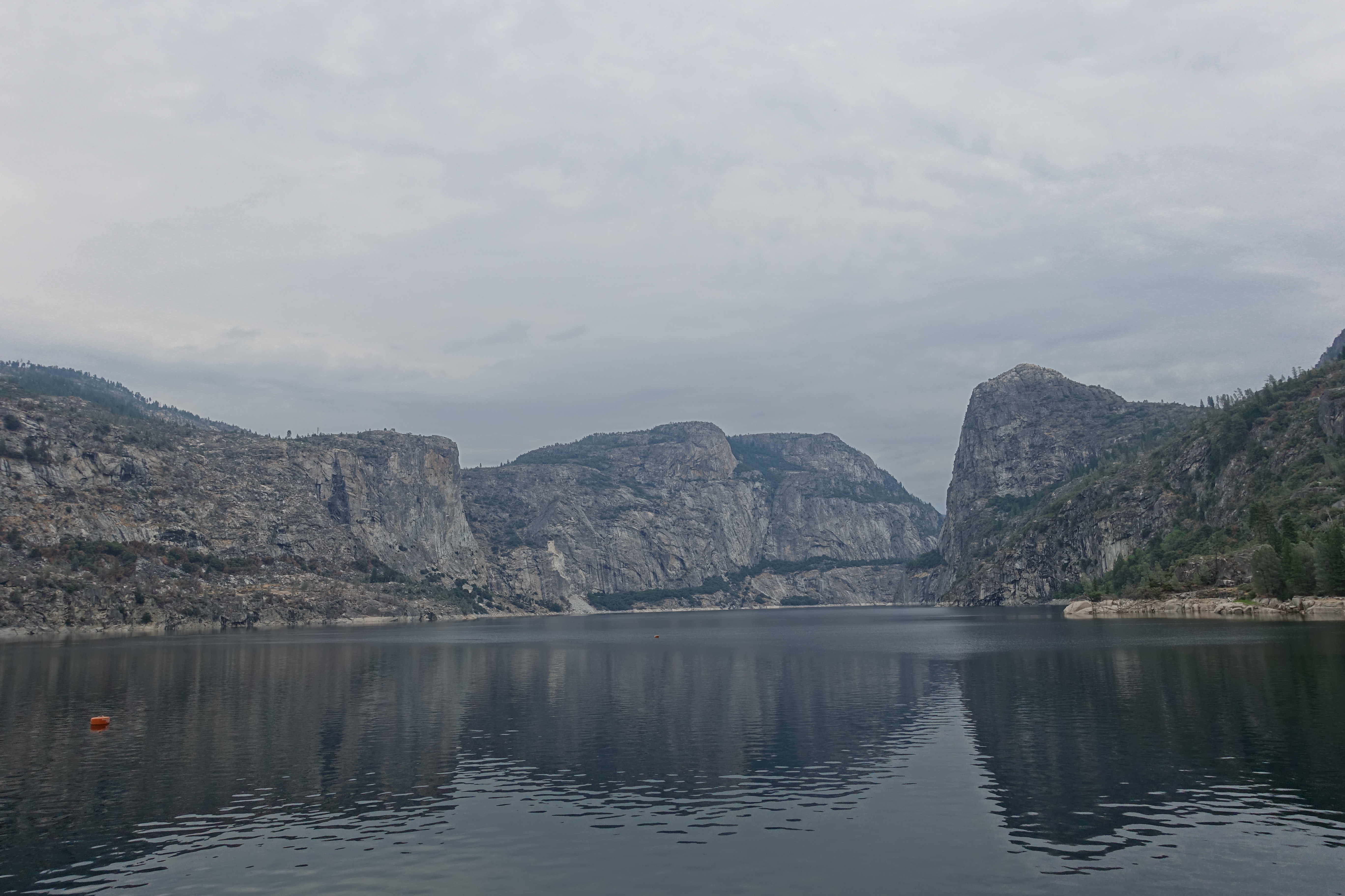
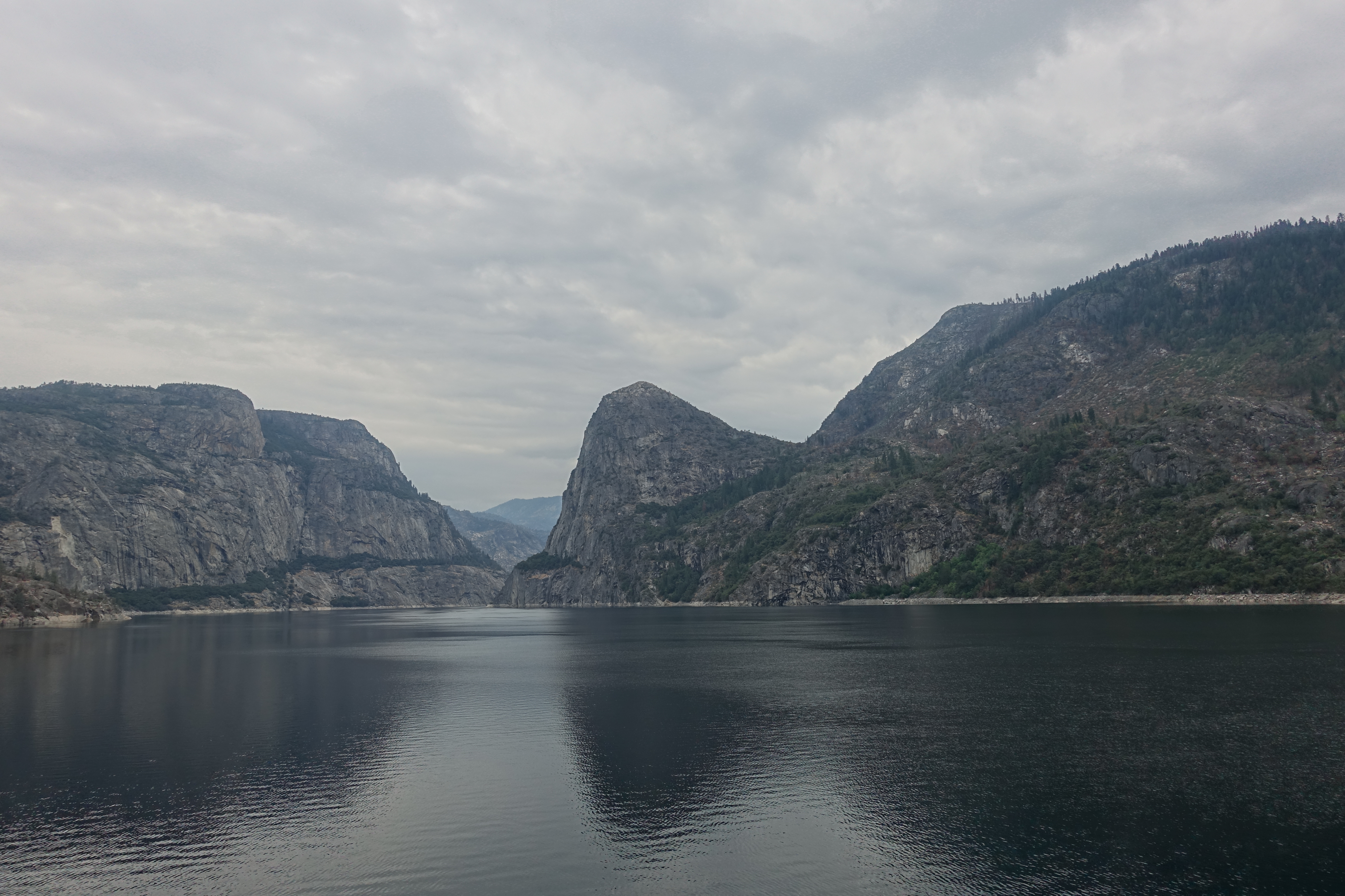
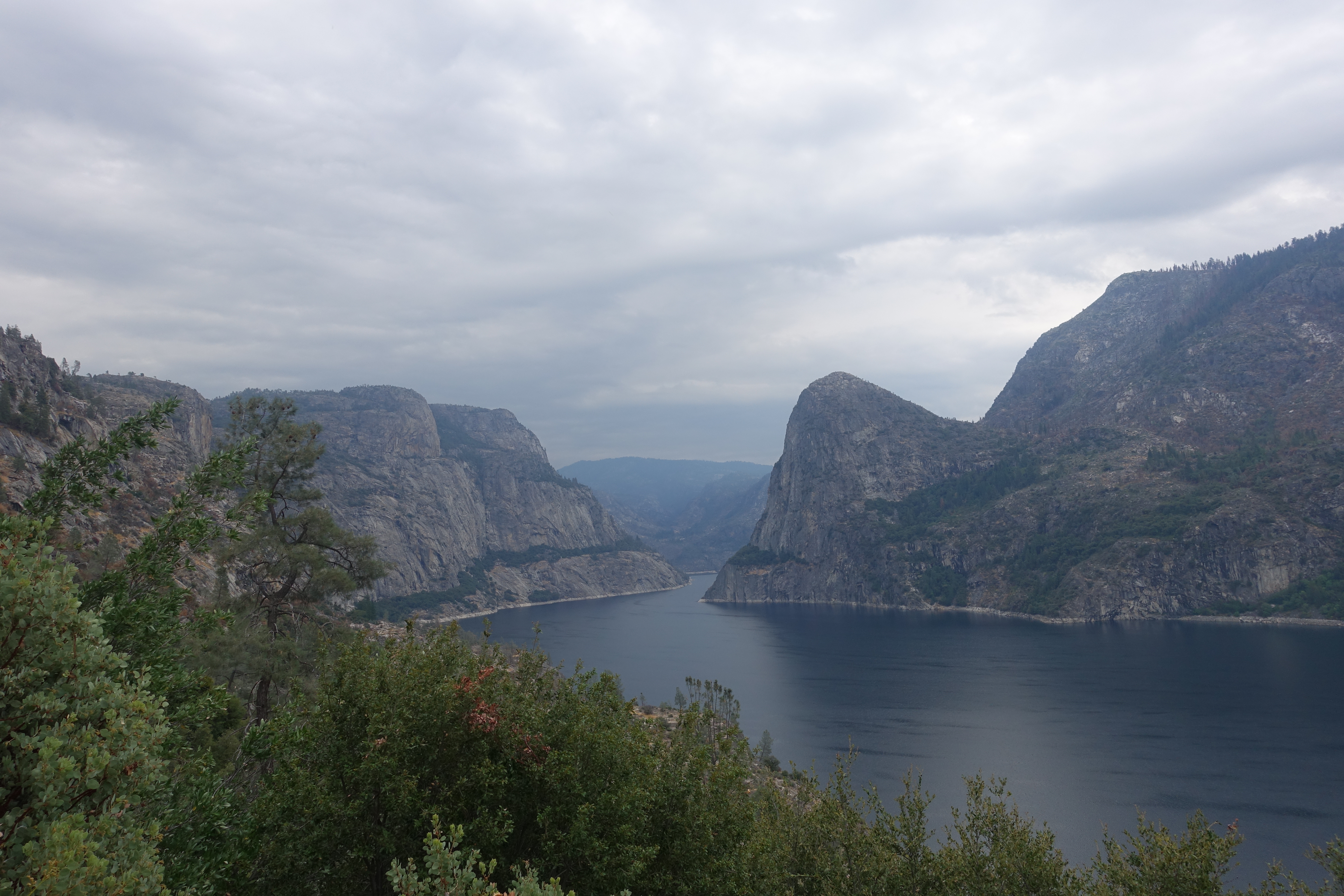
Hetch Hetchy valley. The cliff walls would be almost 400' taller without the lake.
The view down the other side.
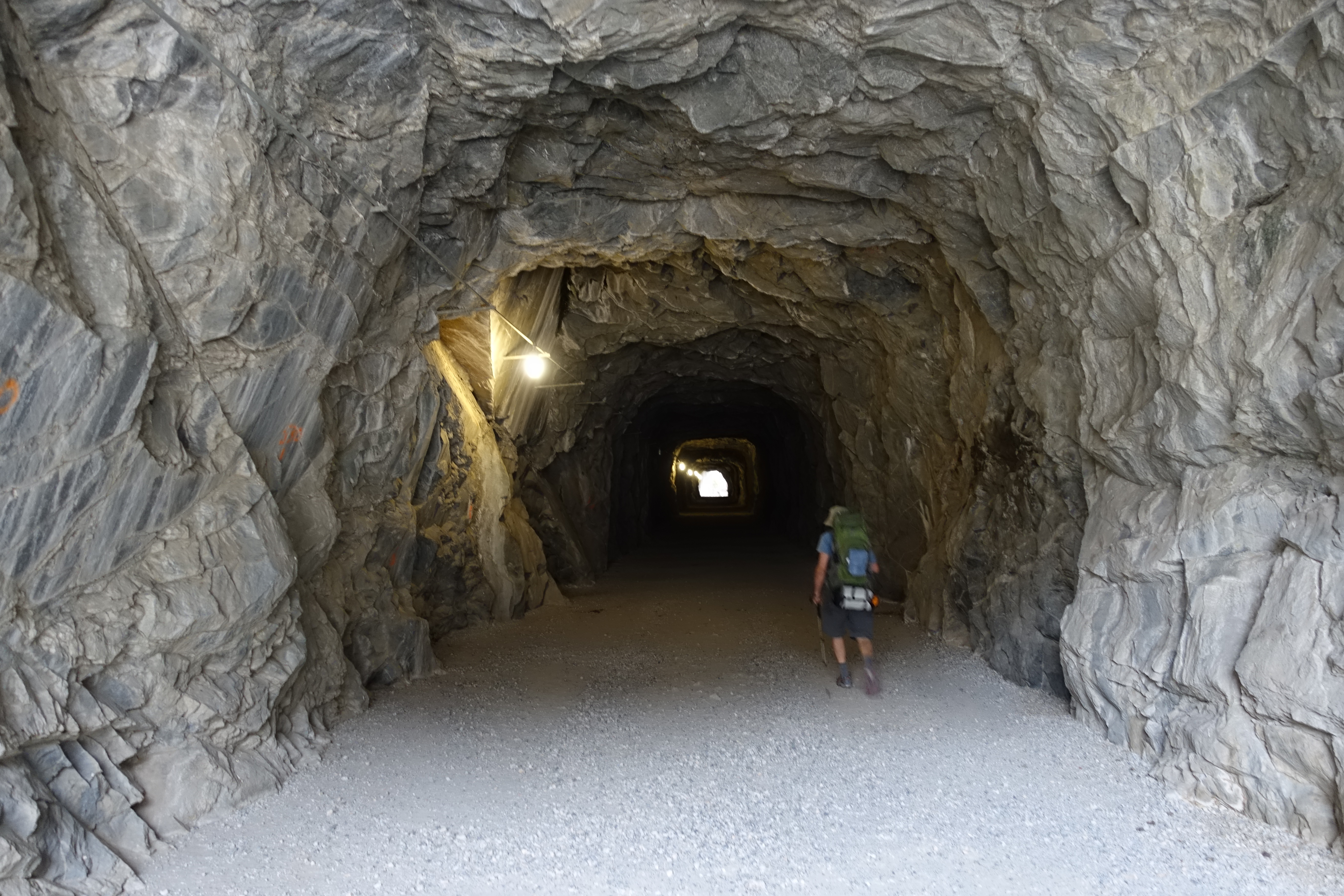
Heading through the tunnel ready to leave humanity and enter the wilderness.
An overcast day at lakeside. The elevation here is only 3,900', so the temperatures are normally very hot this time of year. The forecast was for the 90s, which…
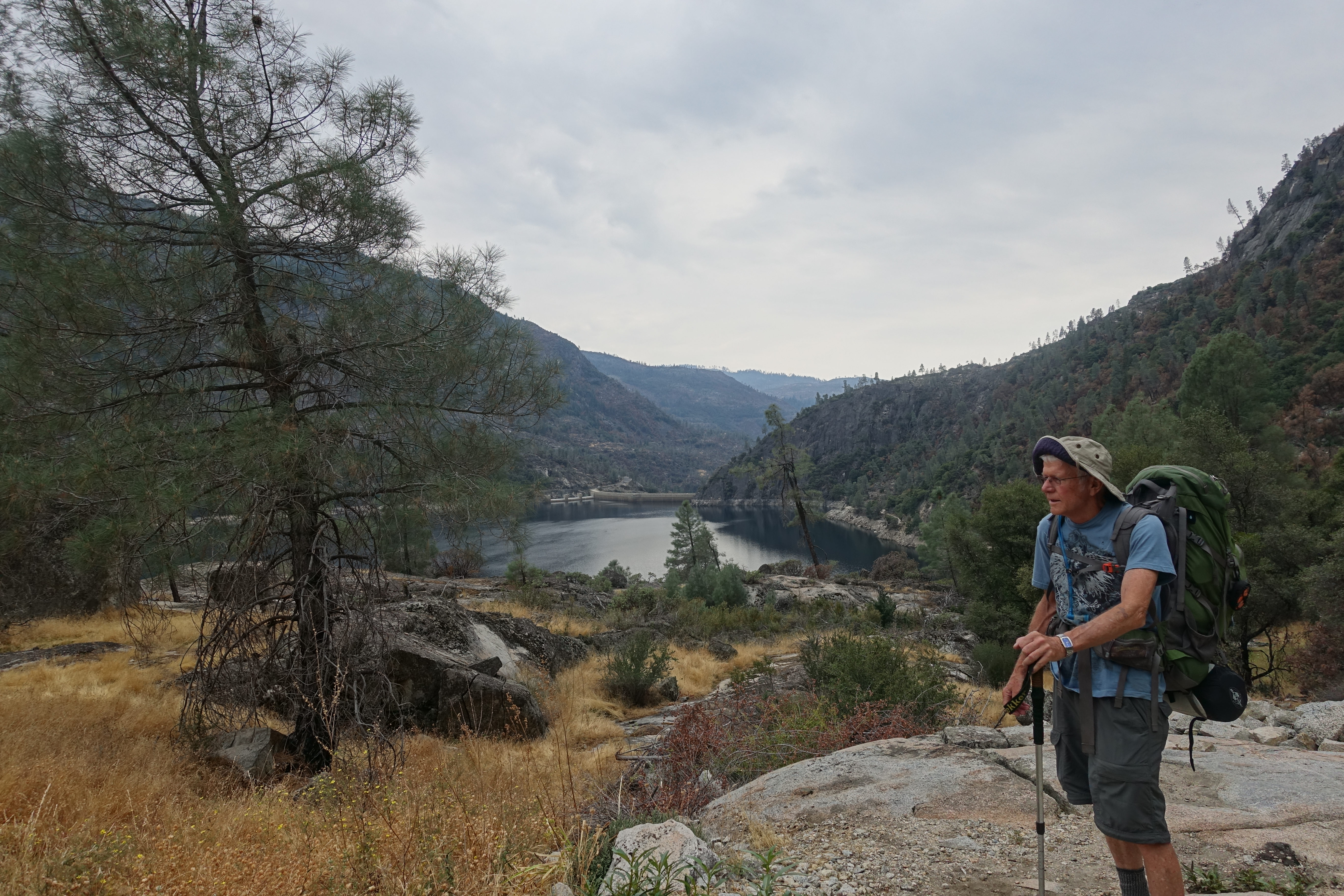
Looking down at the lake from just below the Beehive trailhead.
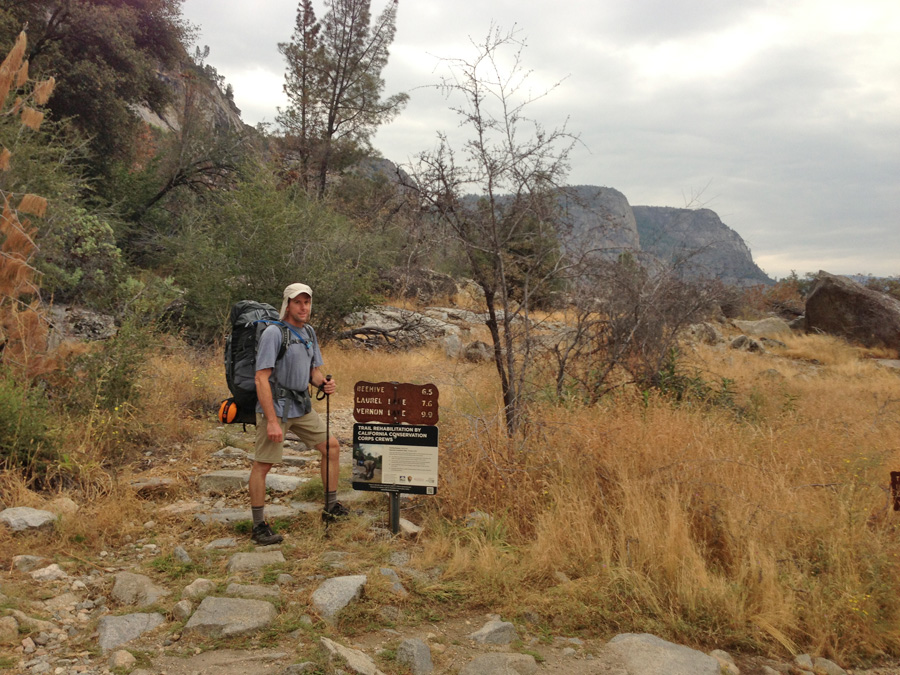
Roughly 1.5 miles from our starting point, we reach the Beehive trailhead, start of what will be a long, four day loop through one of the most remote corners of…
One of the last views of the lake before climbing over the ridge.
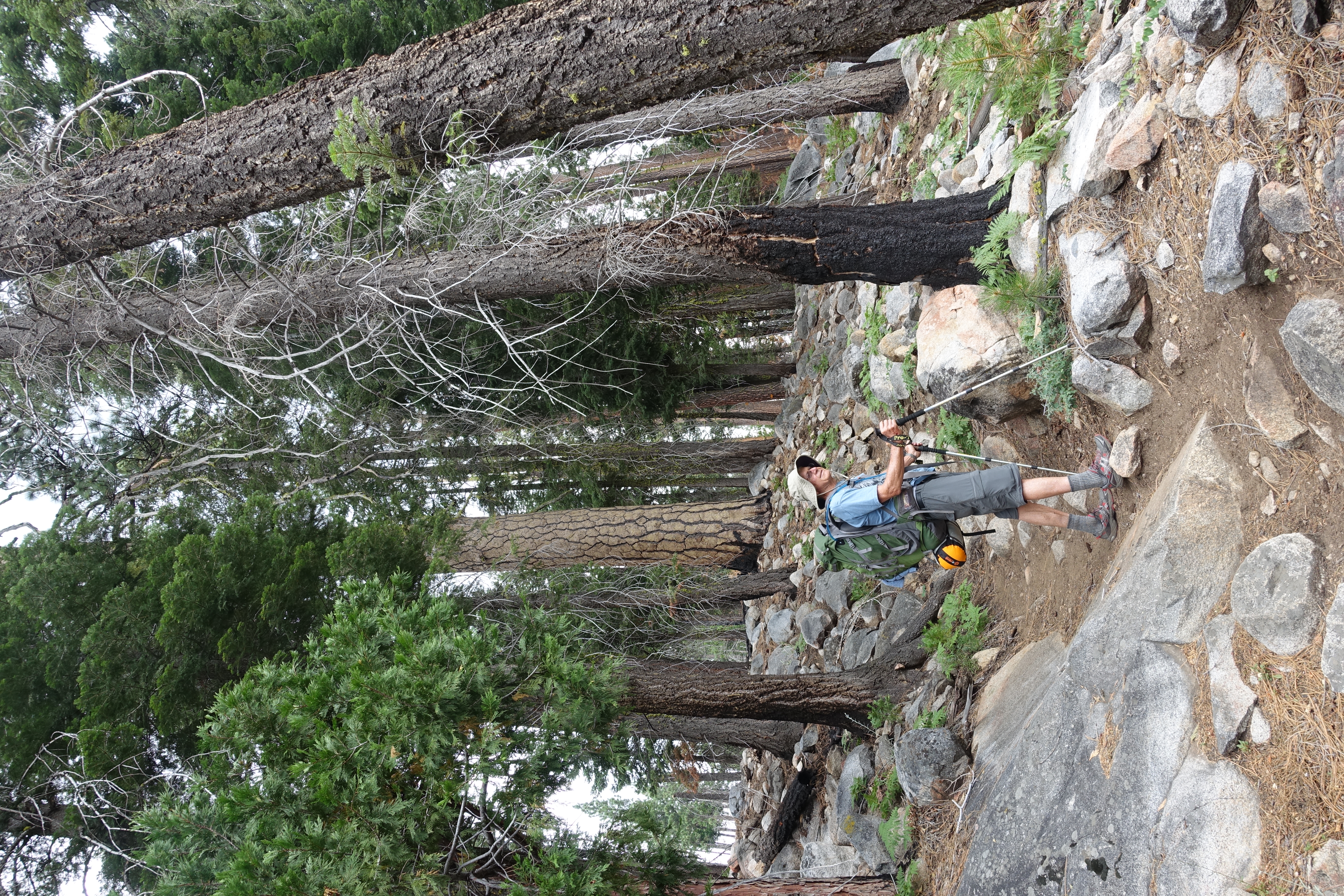
Getting up near 6,000' and into the trees.
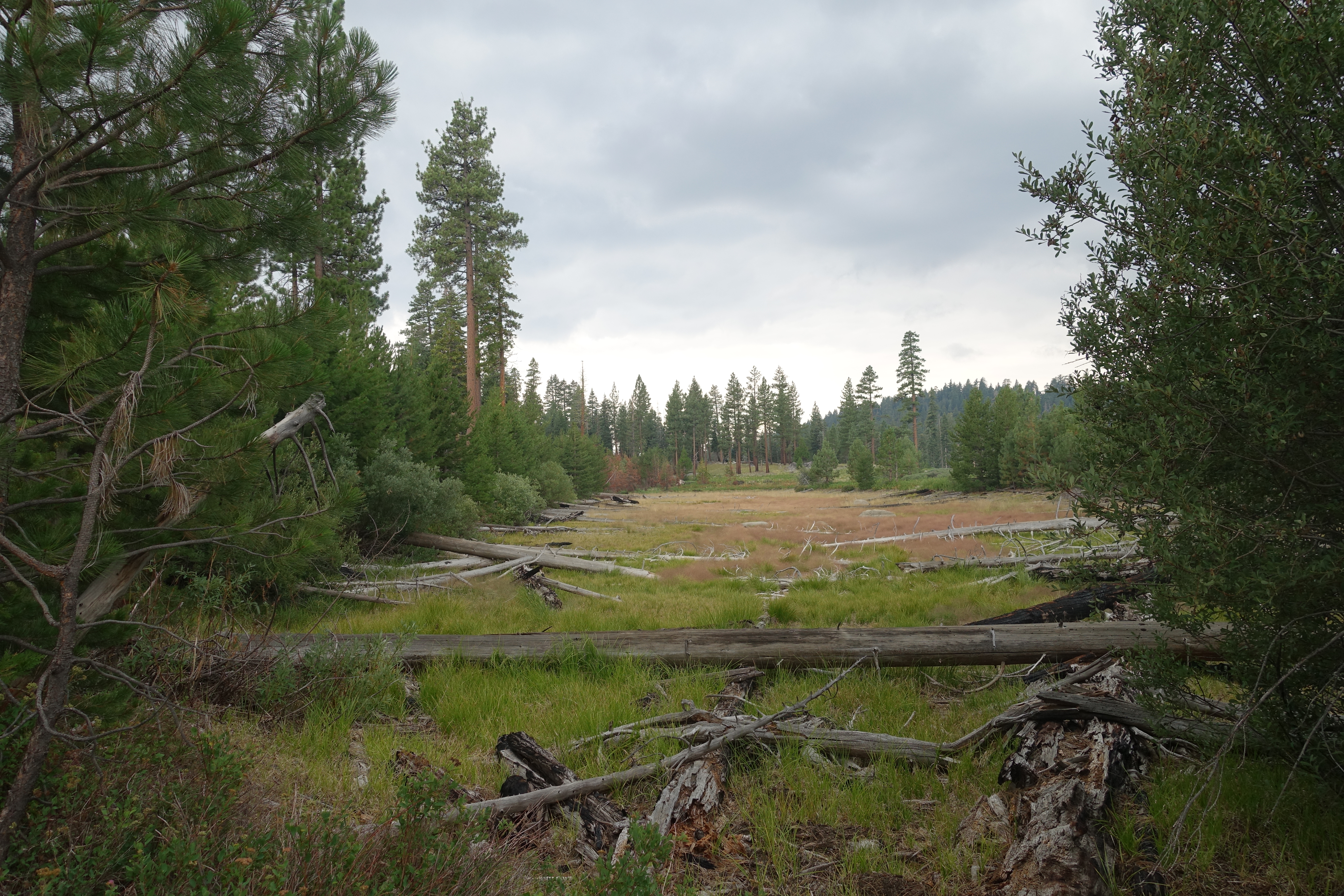
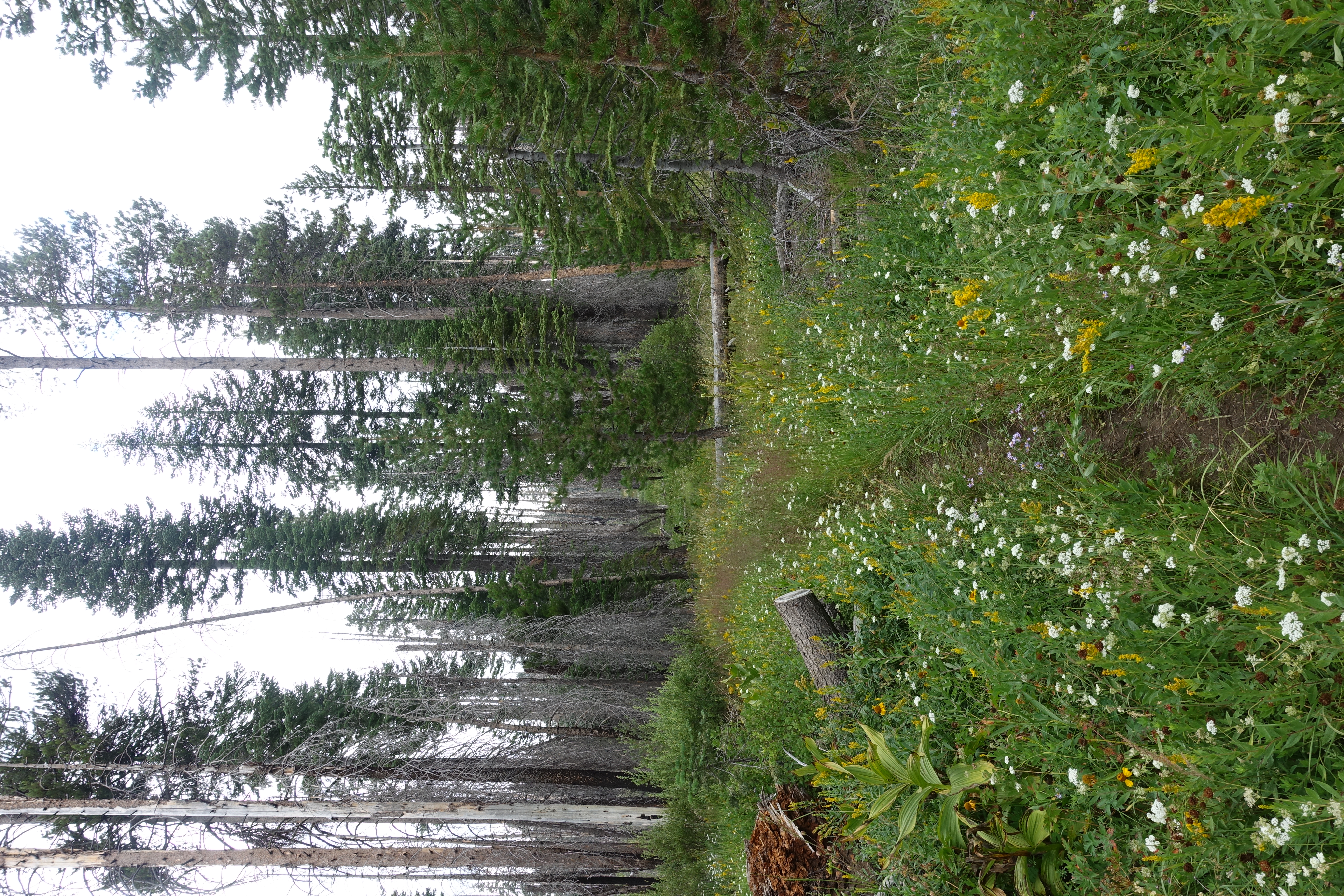
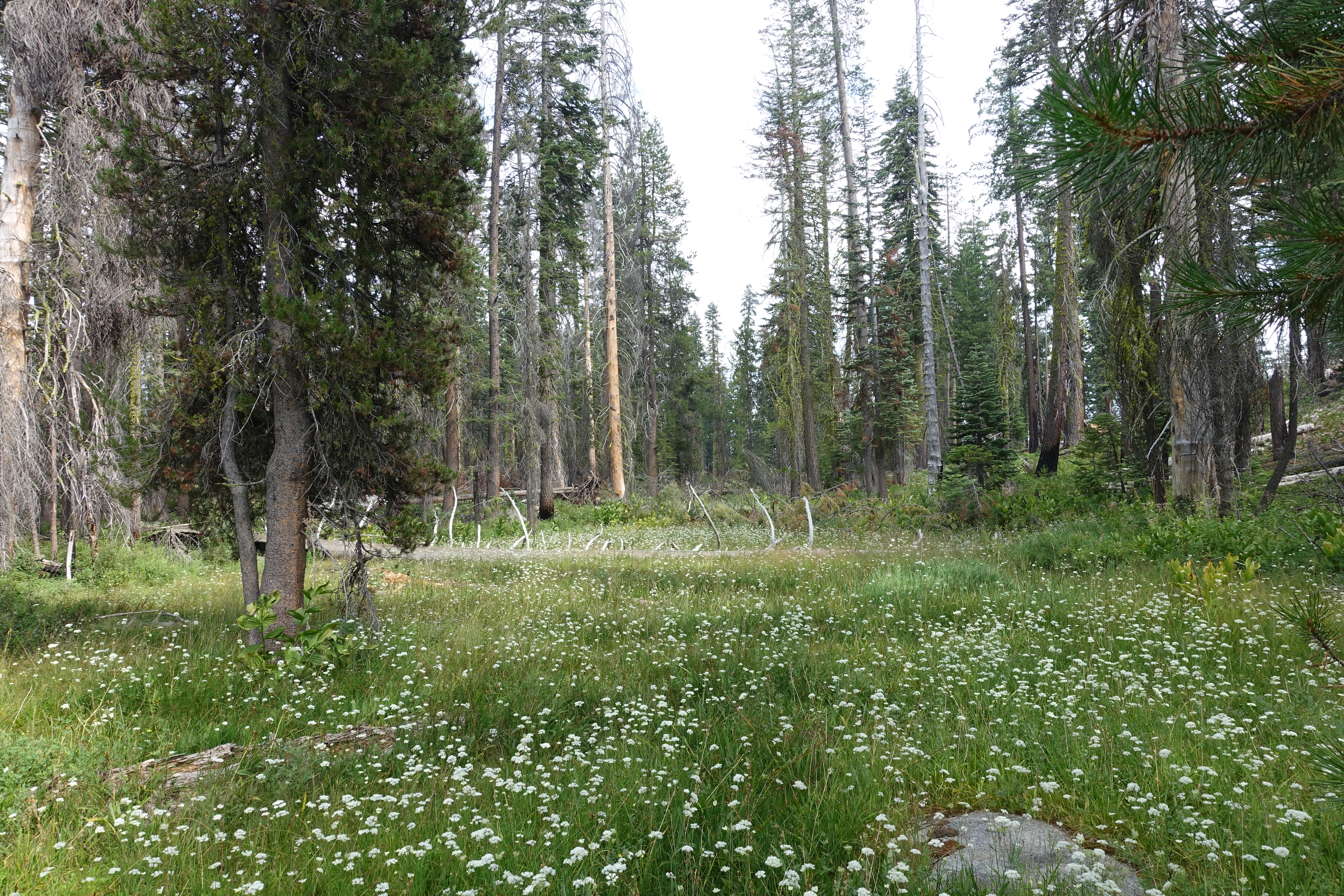
Beautiful meadows.
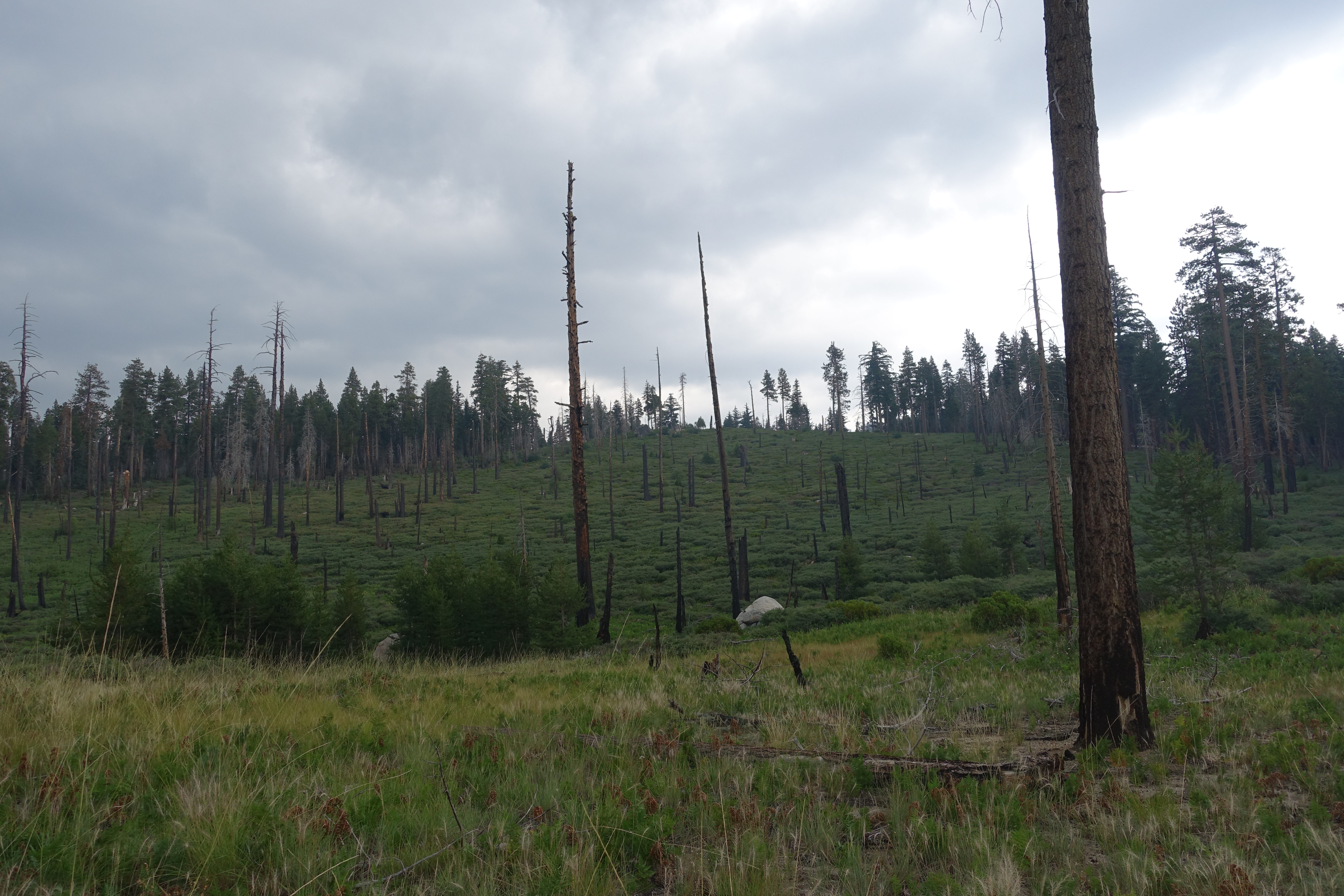
Areas have clearly been wiped out by recent fires. Though still green and re-growing, the forest is very thin. This is not far from the massive Rim fire that…

Day 1 lunch spot.
Dad powering through the meadows. We're starting to get into some nice patches of wildflowers.
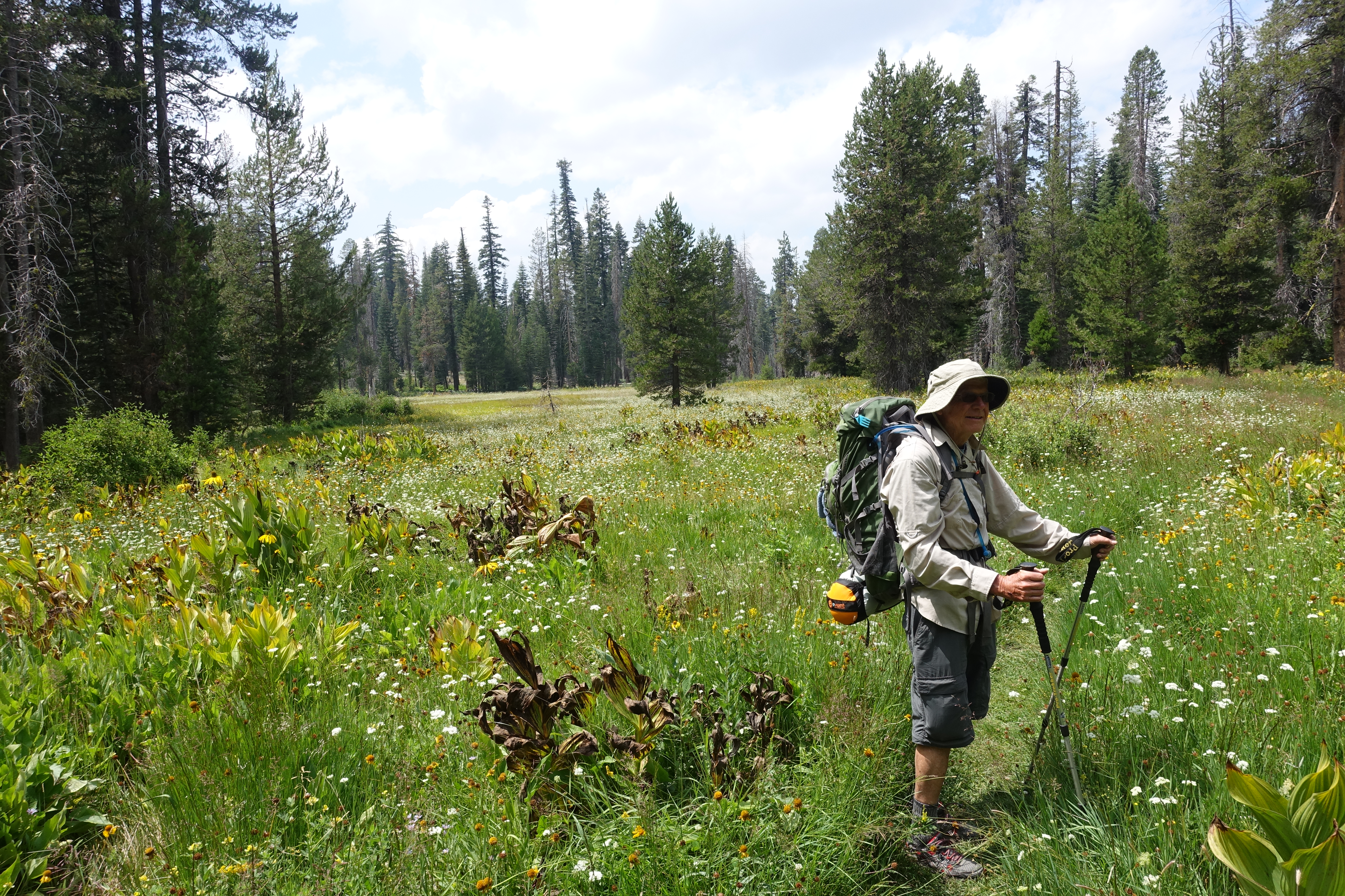
Dad taking in the giant fields of wildflowers.
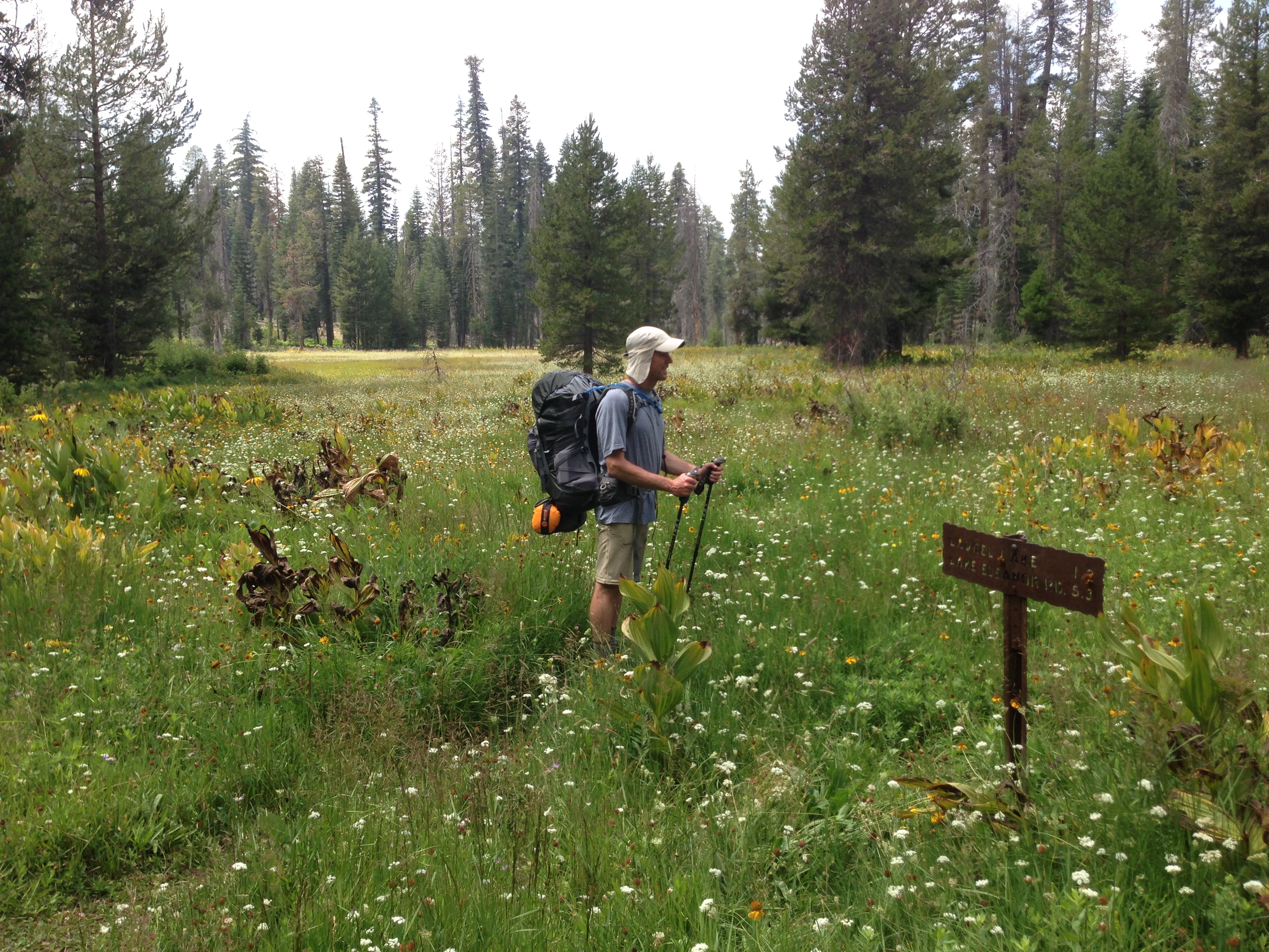
A little further along, we reach the Laurel Lake junction. We had hoped to find a stream to filter water before reaching this point, but no such luck. I…
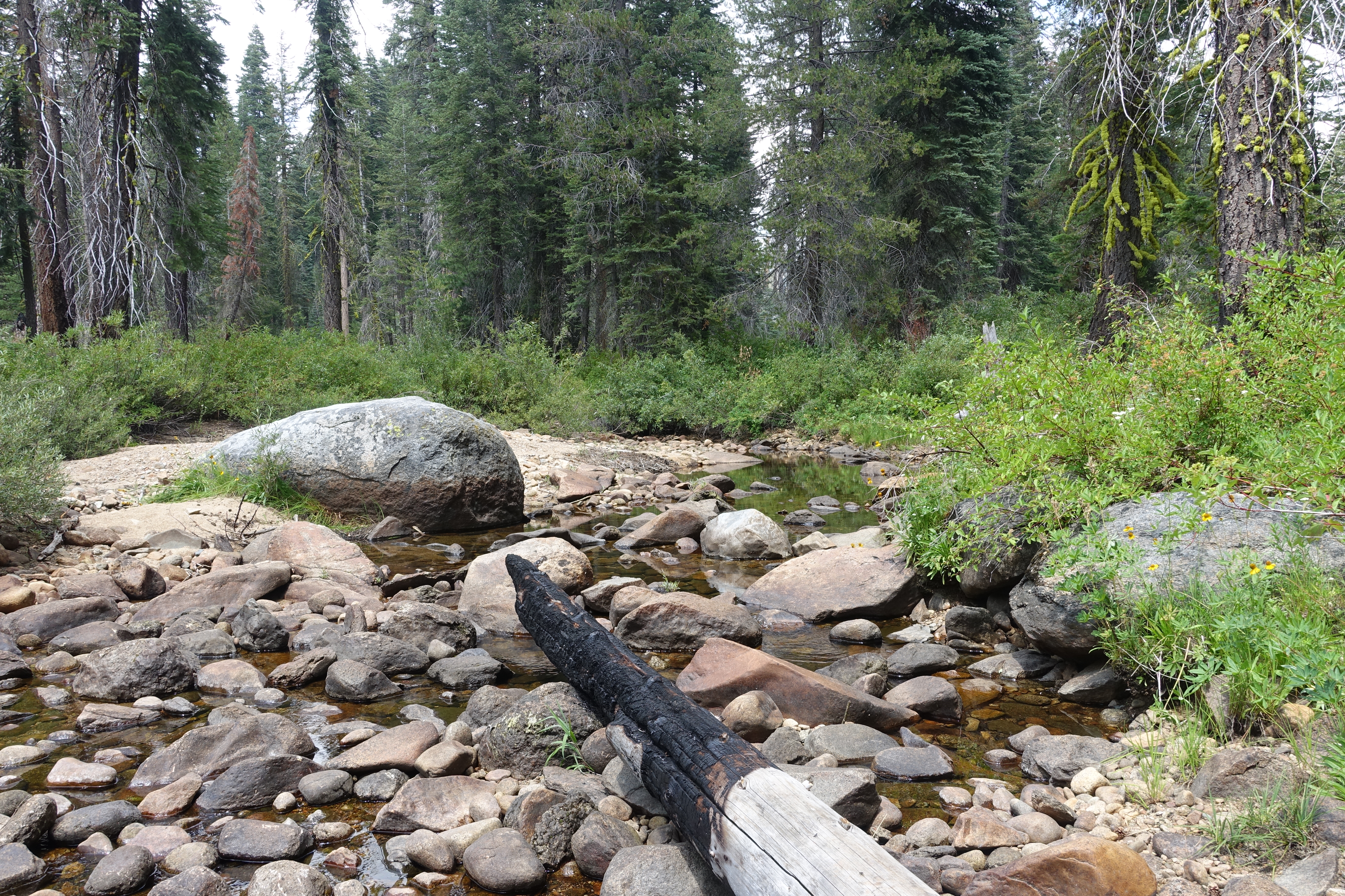
Fortunately there's flowing water in the stream, and I'm able to fill-up. This has been one of the driest years on record, so water will be tough to come by.
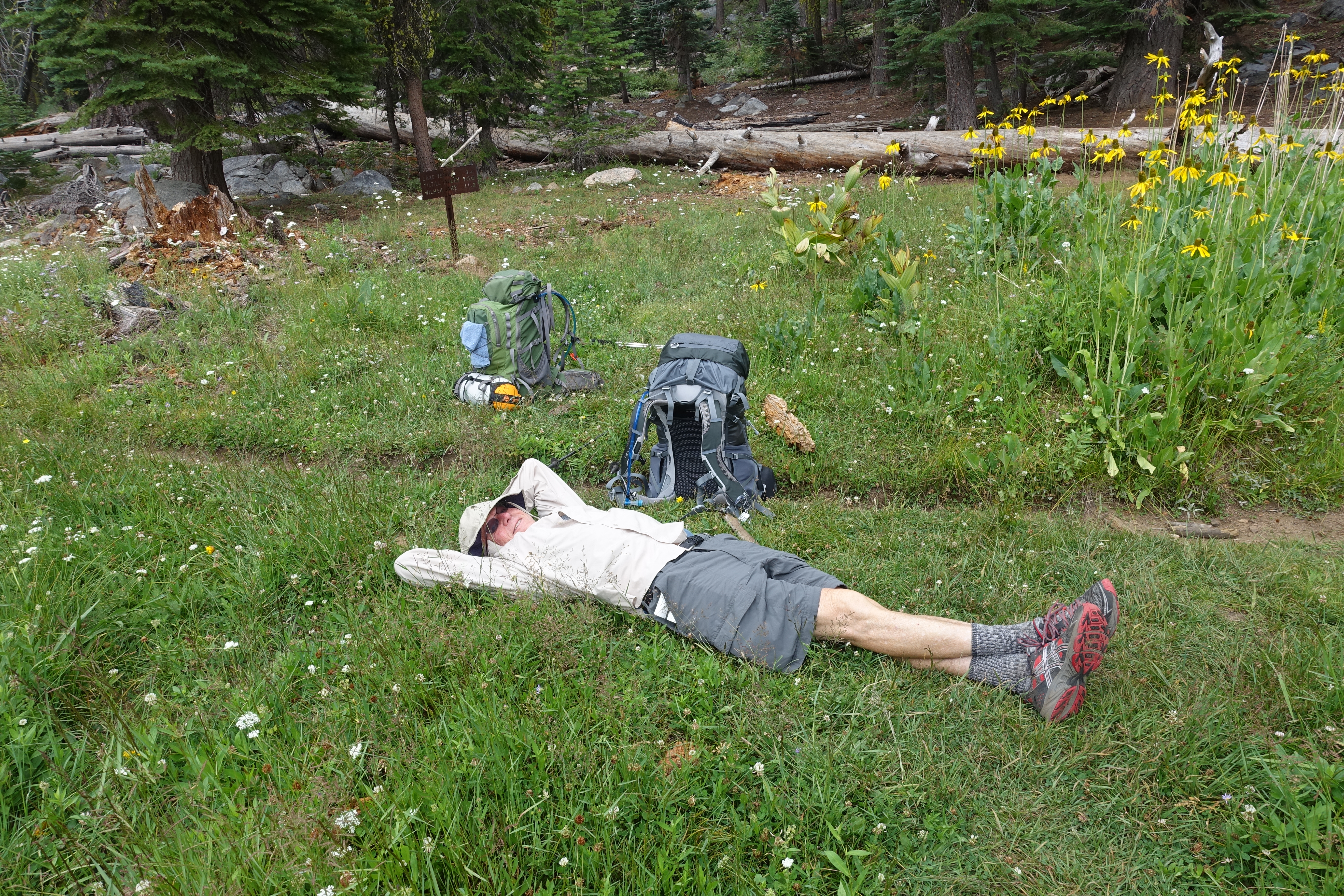
I jog back to the trailhead and find Dad kicking back waiting for me. I then realize that I dropped one of our collapsable water bottles somewhere along the way…
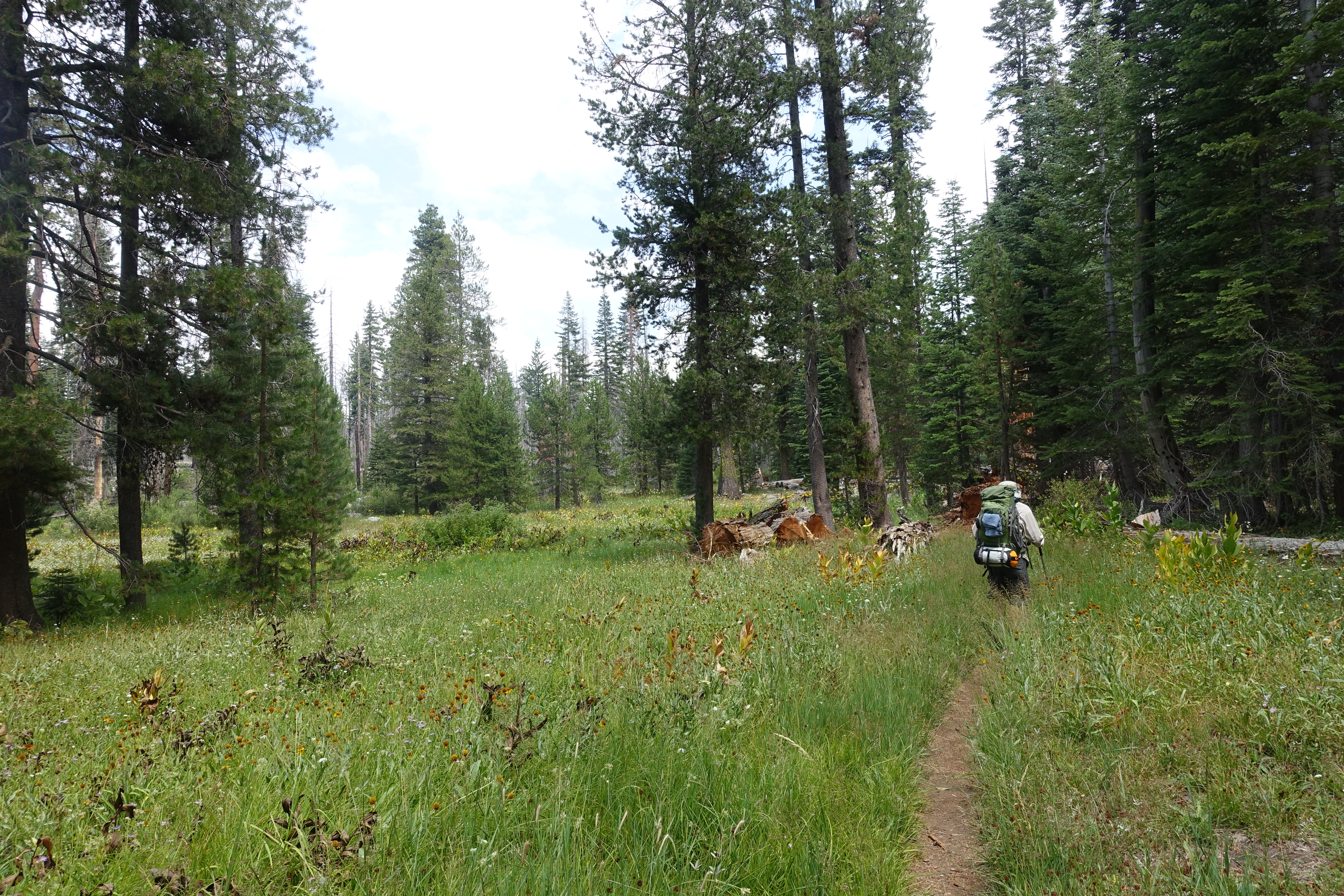
Perfectly overgrown singletrack winding through the flowers. The underbrush has definitely been thinned out by fires though.
More nice fields of flowers, but I am really hoping all four days won't be through similarly fire-affected forest.