8/8/14 The last day took us down Tiltill Valley and back to Hetch Hetchy. It also included getting lost for a couple hours and running dangerously low on water, which just made for an even better experience!
1 Morning view through the tent sunroof. The night ended-up being perfect to have the rainfly off.
2 
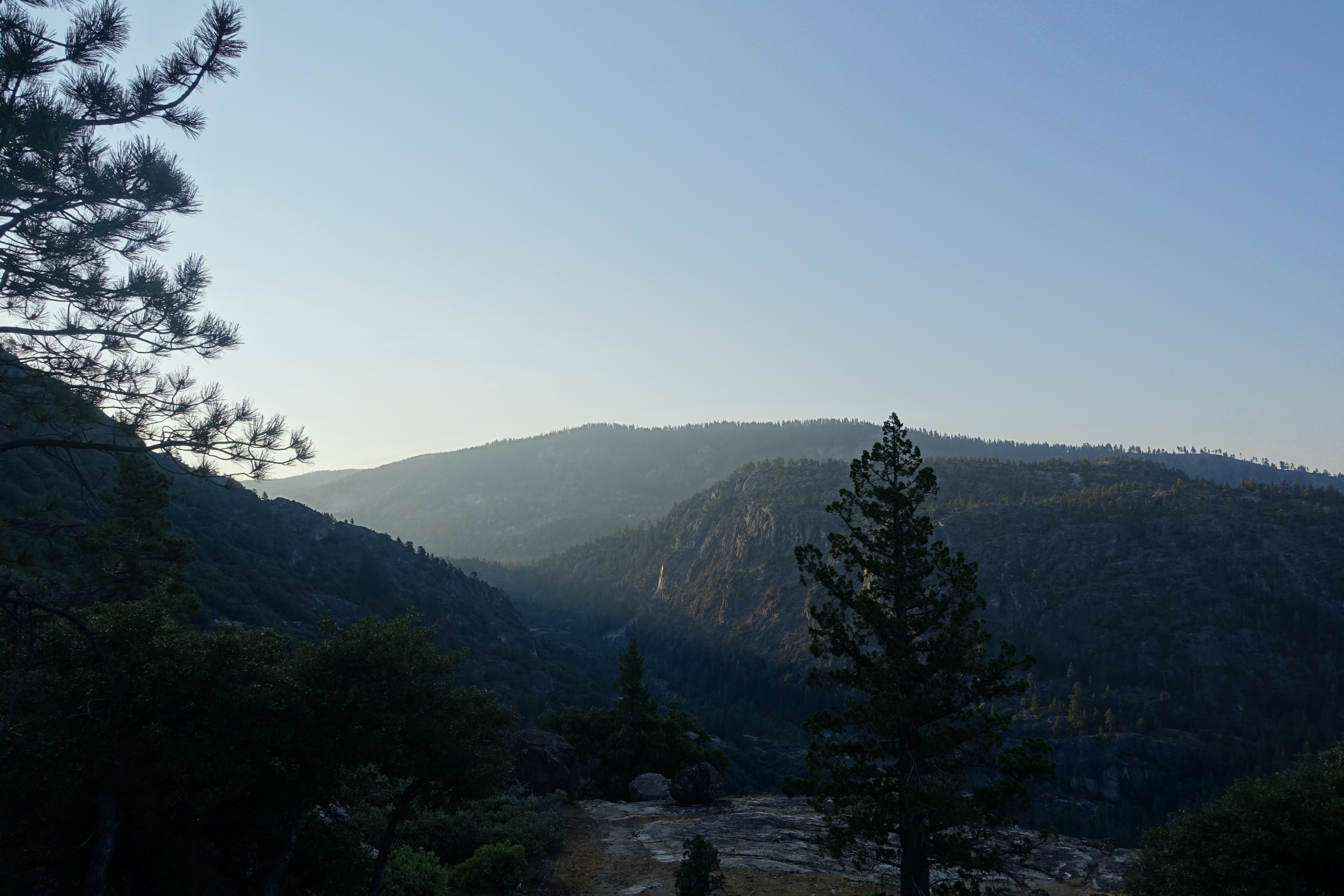
Sunrise creeping down Tiltill Valley.
3 
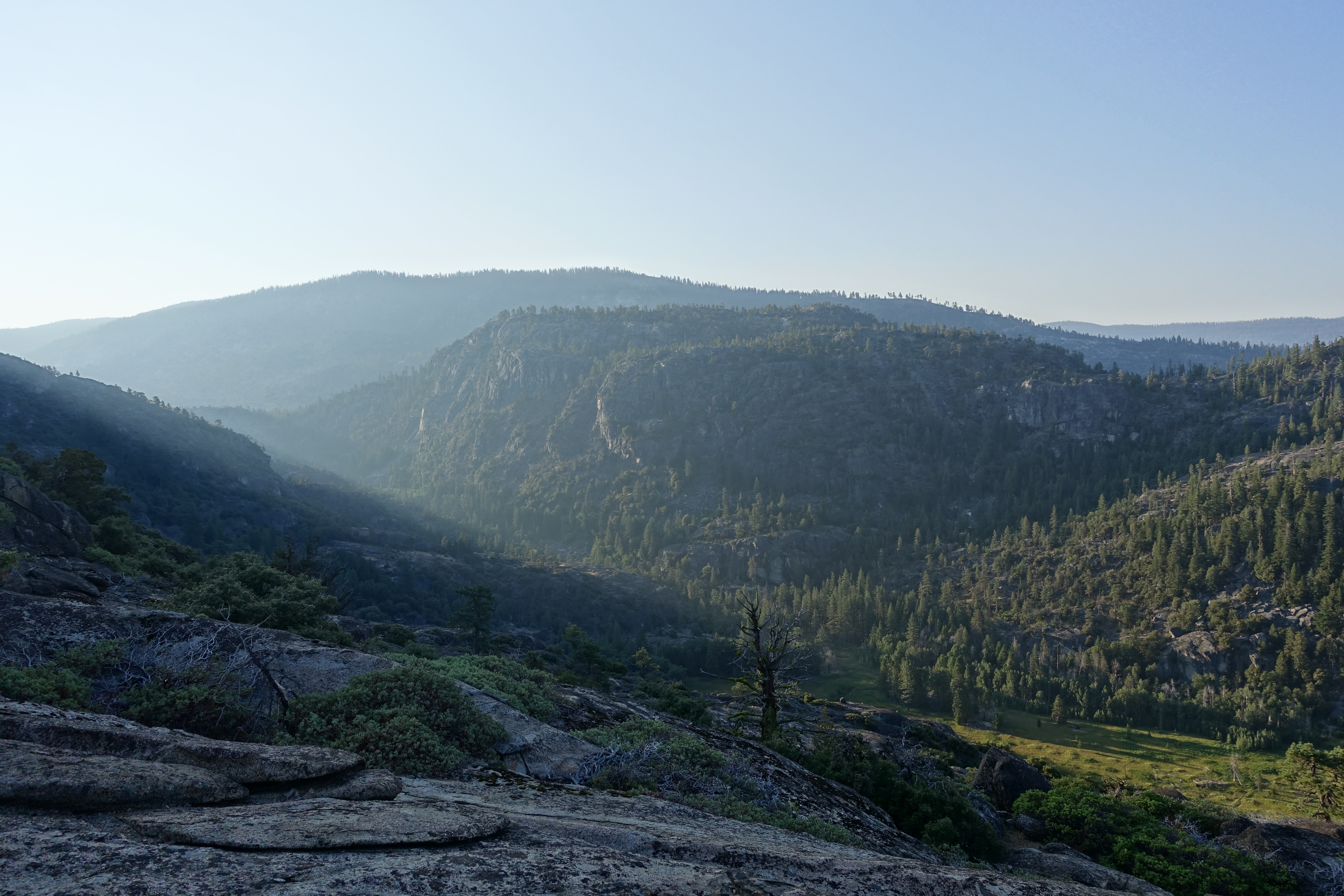
A little later in the morning.
4 
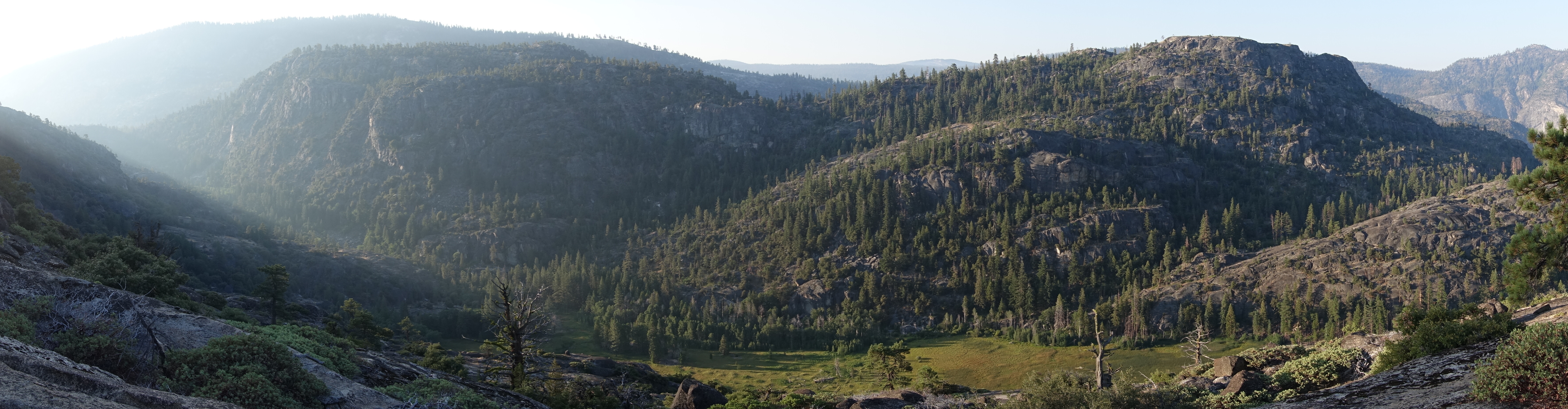
Panorama view of upper Tiltill in the morning.
5 
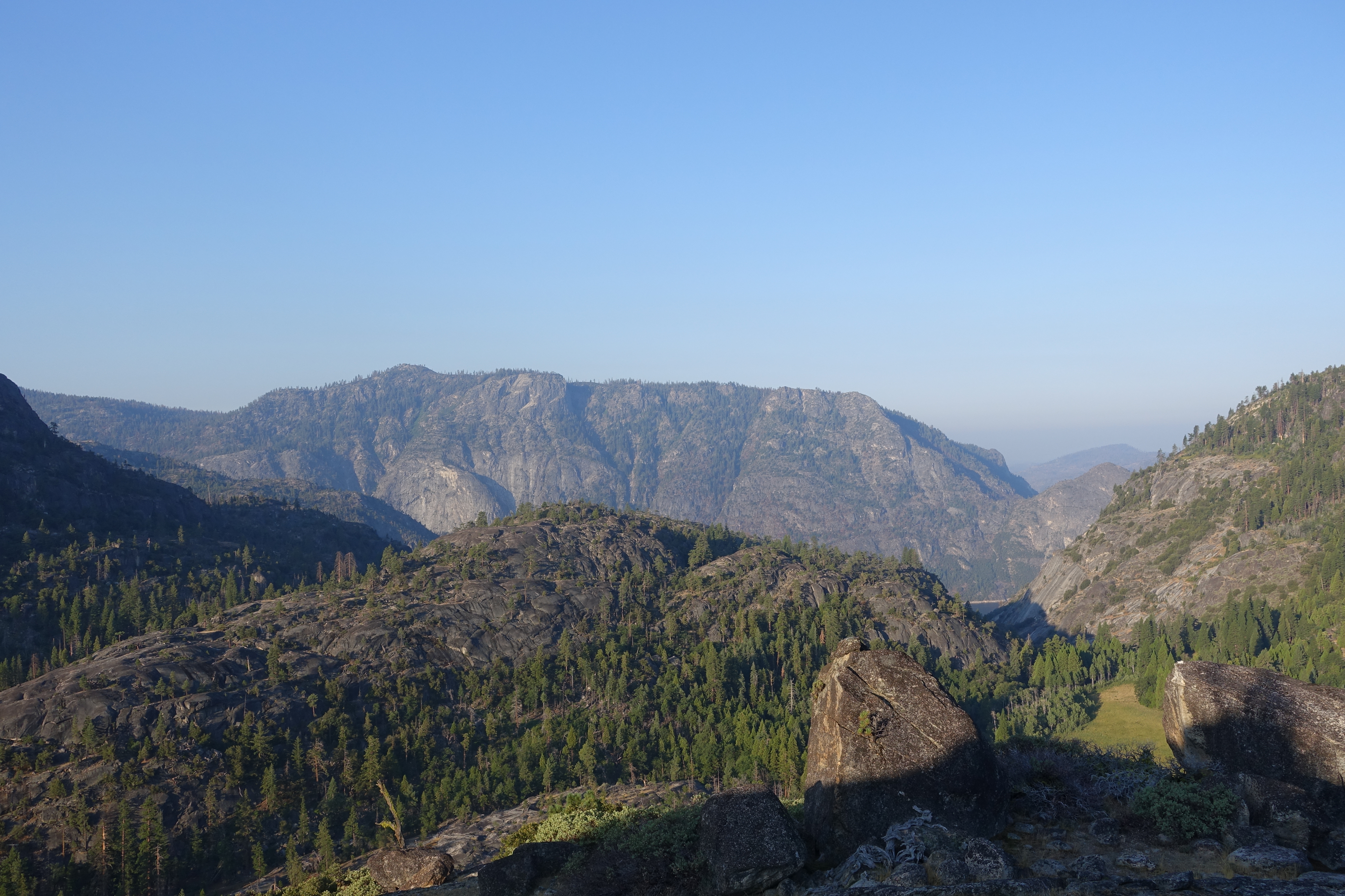
Looking out towards Hetch Hetchy in the distance from our excellent camping perch.
6 
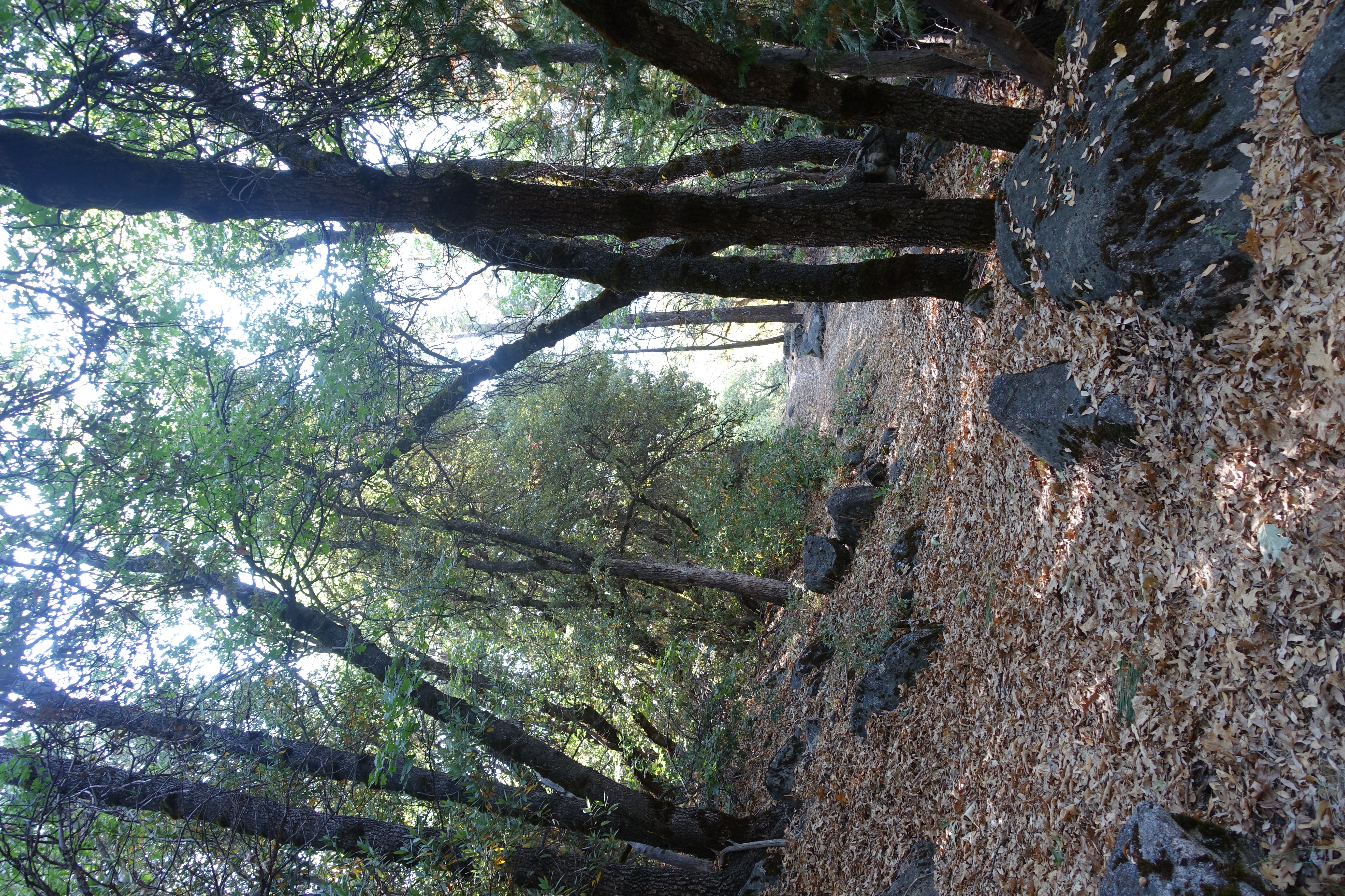
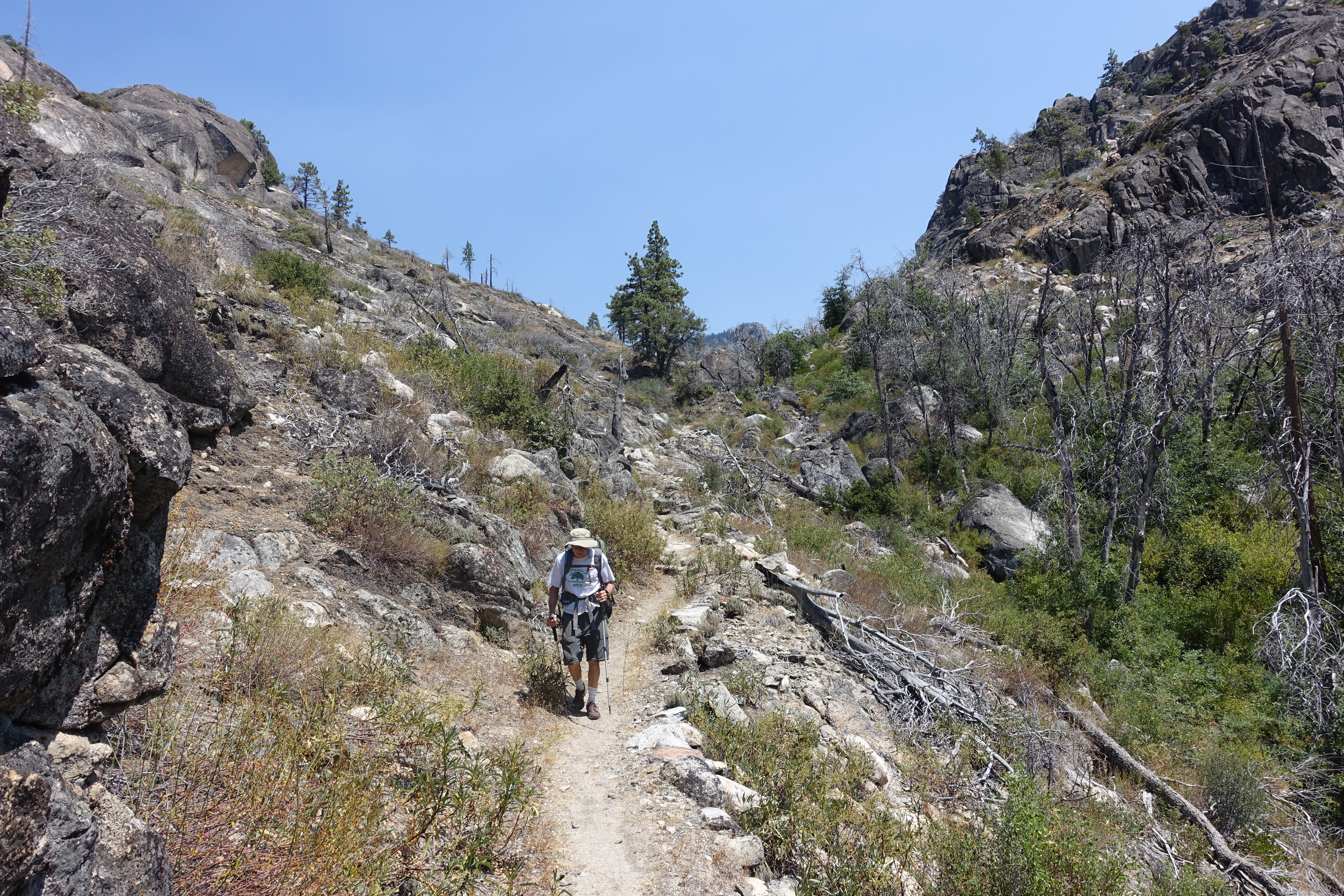
Some nice singletrack as we head down to the valley floor.
7 Almost down to the floor.
8 
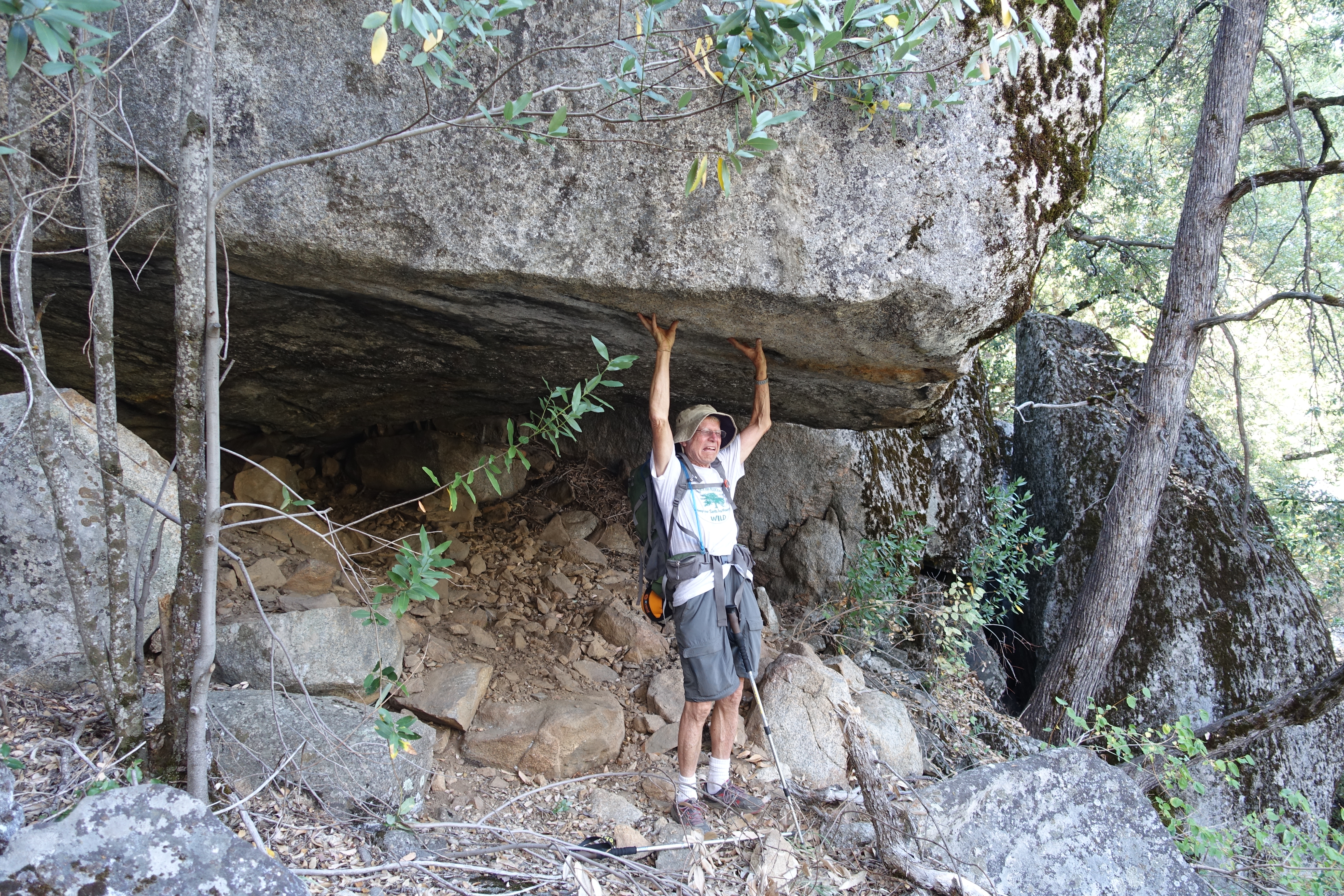
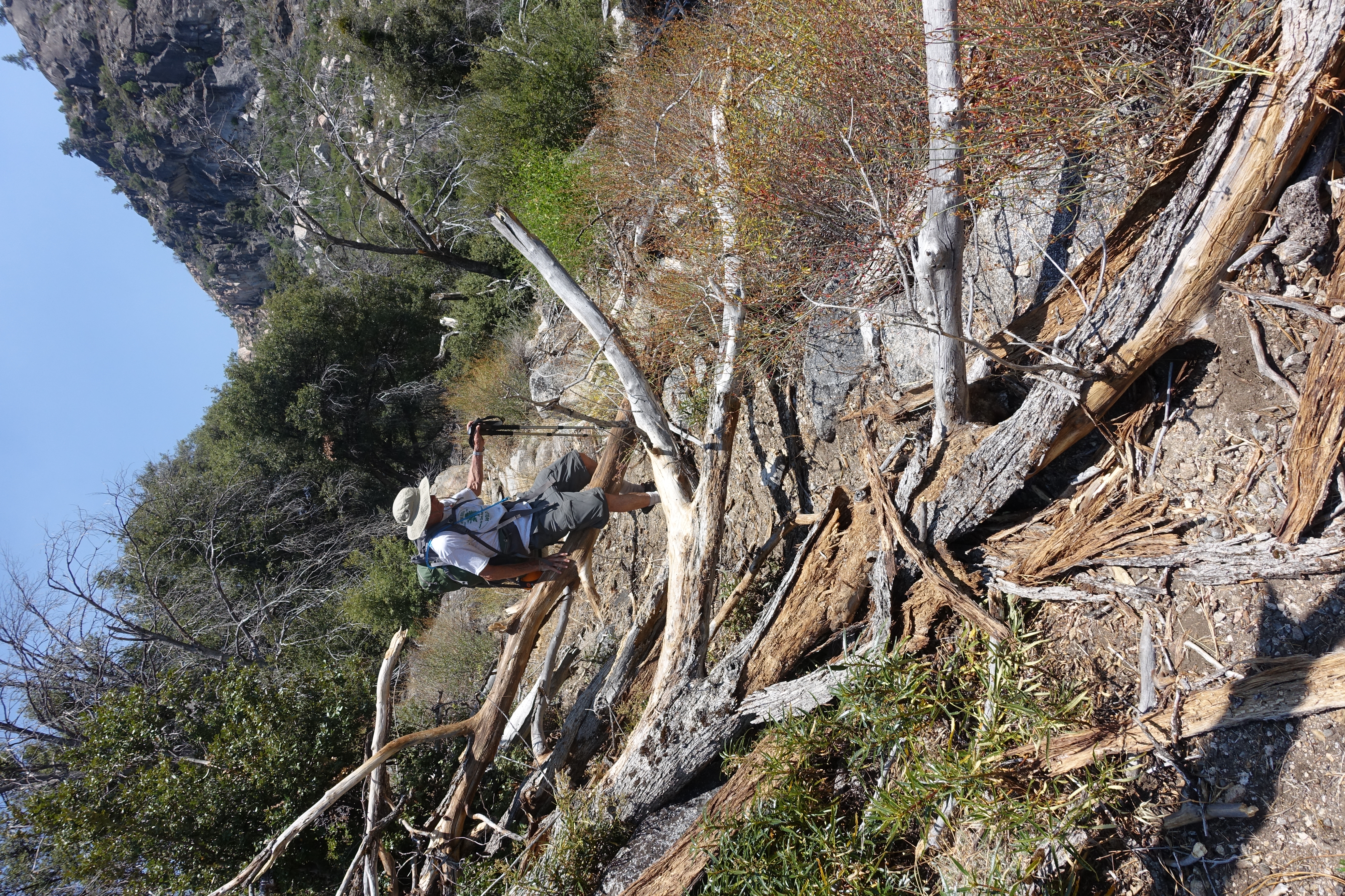
Dad trying to prevent an avalanche.
9 
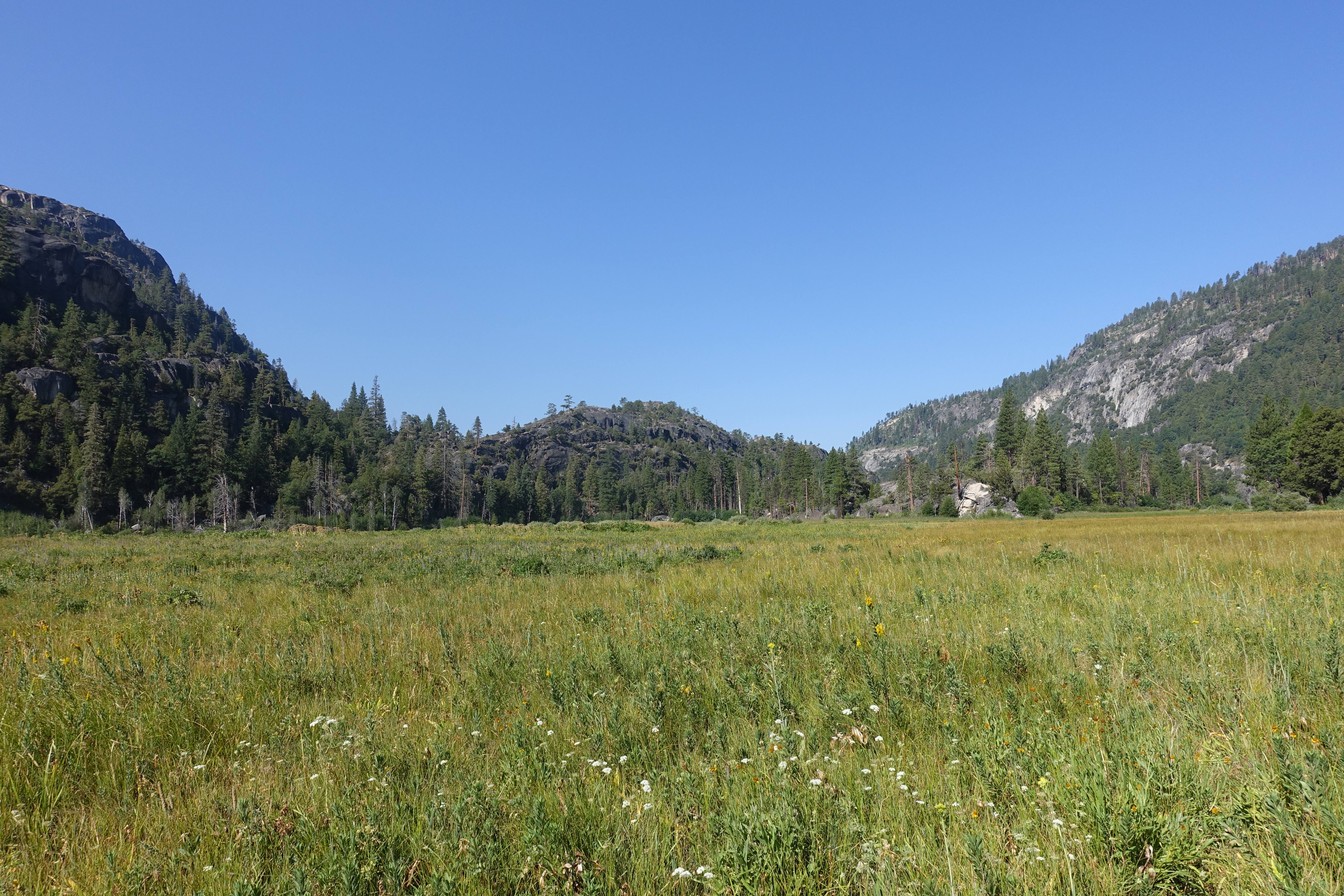
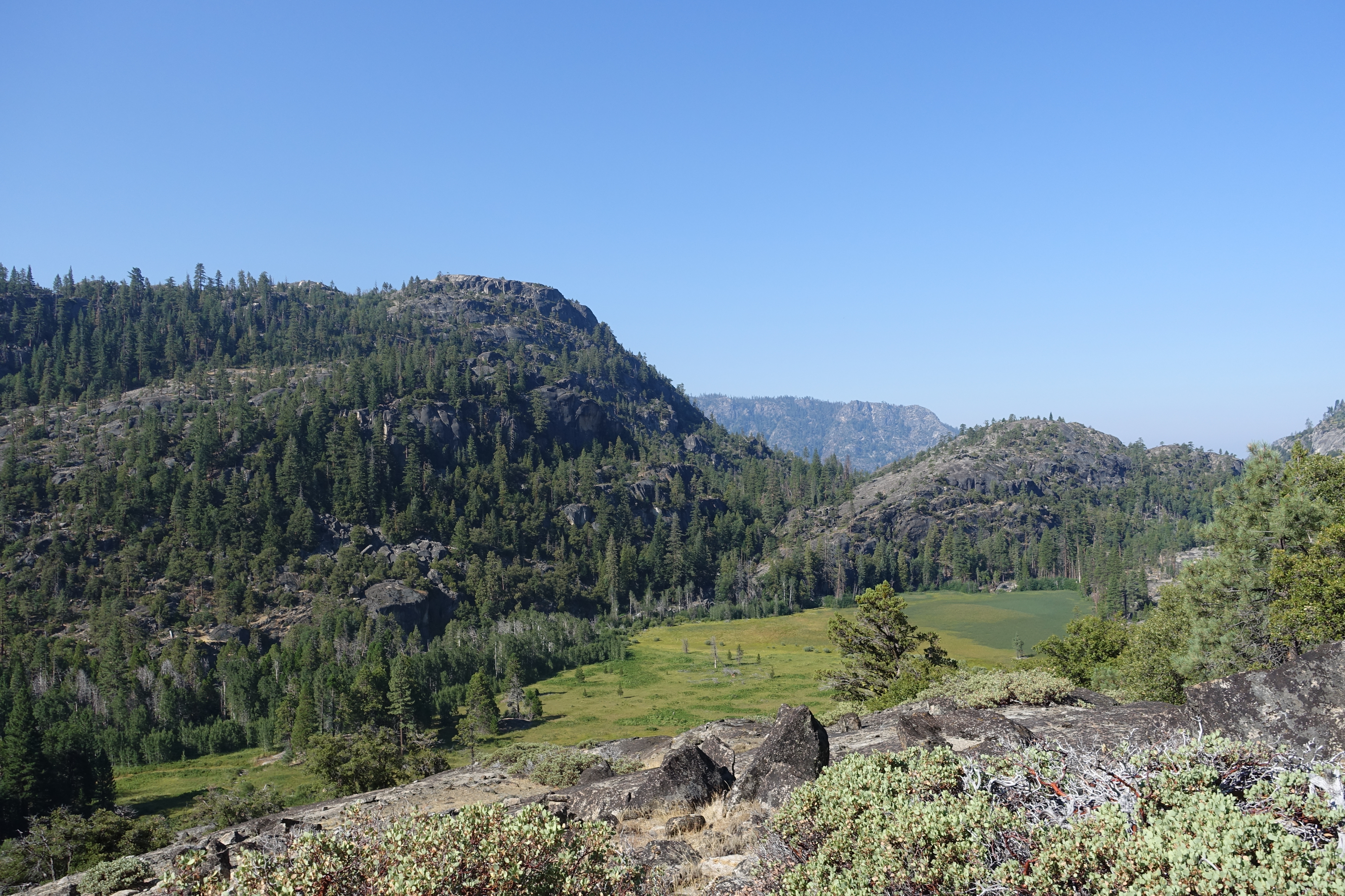
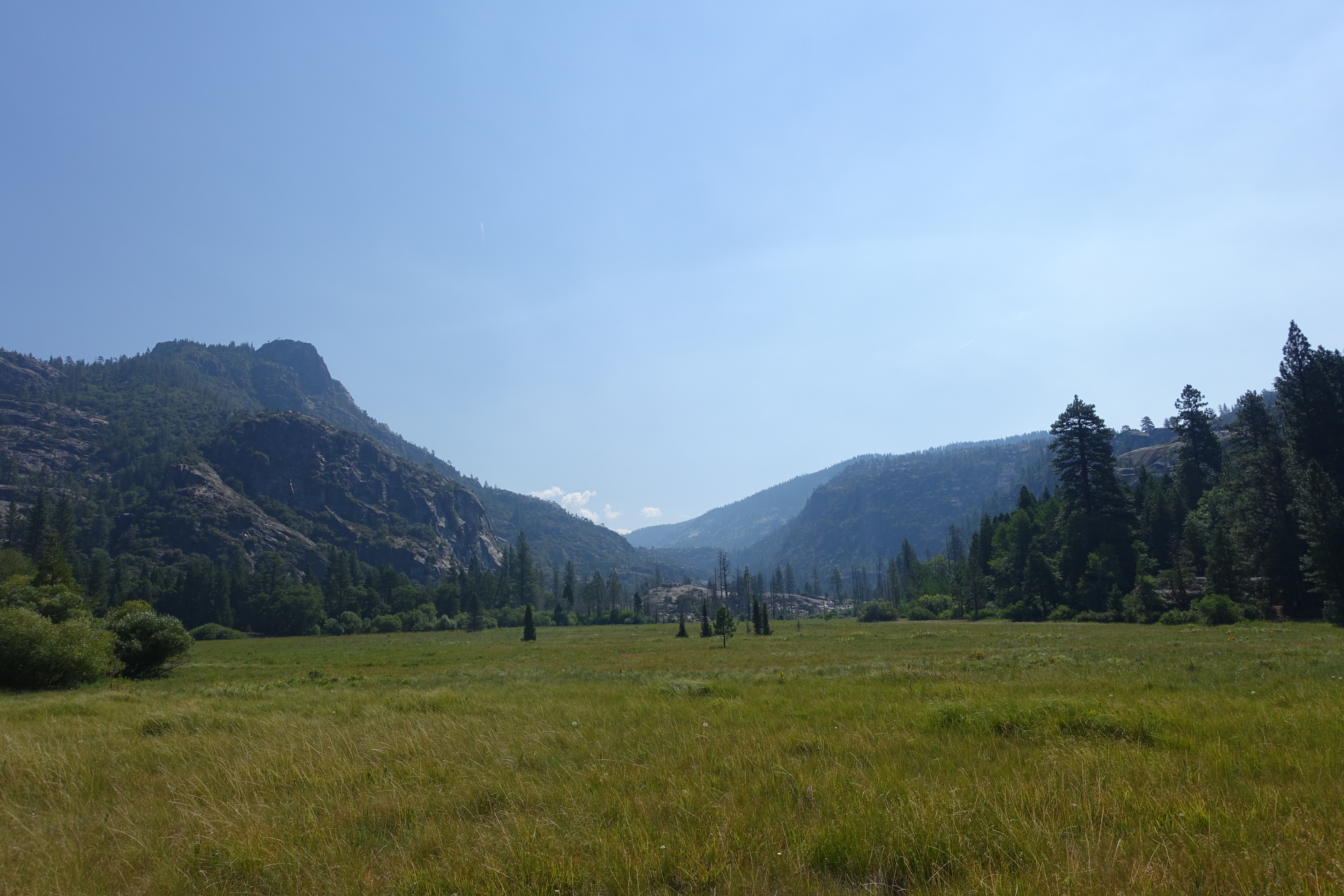
The Tiltill Valley floor. A massive meadow that's still plenty green even in this incredibly dry year.
10 
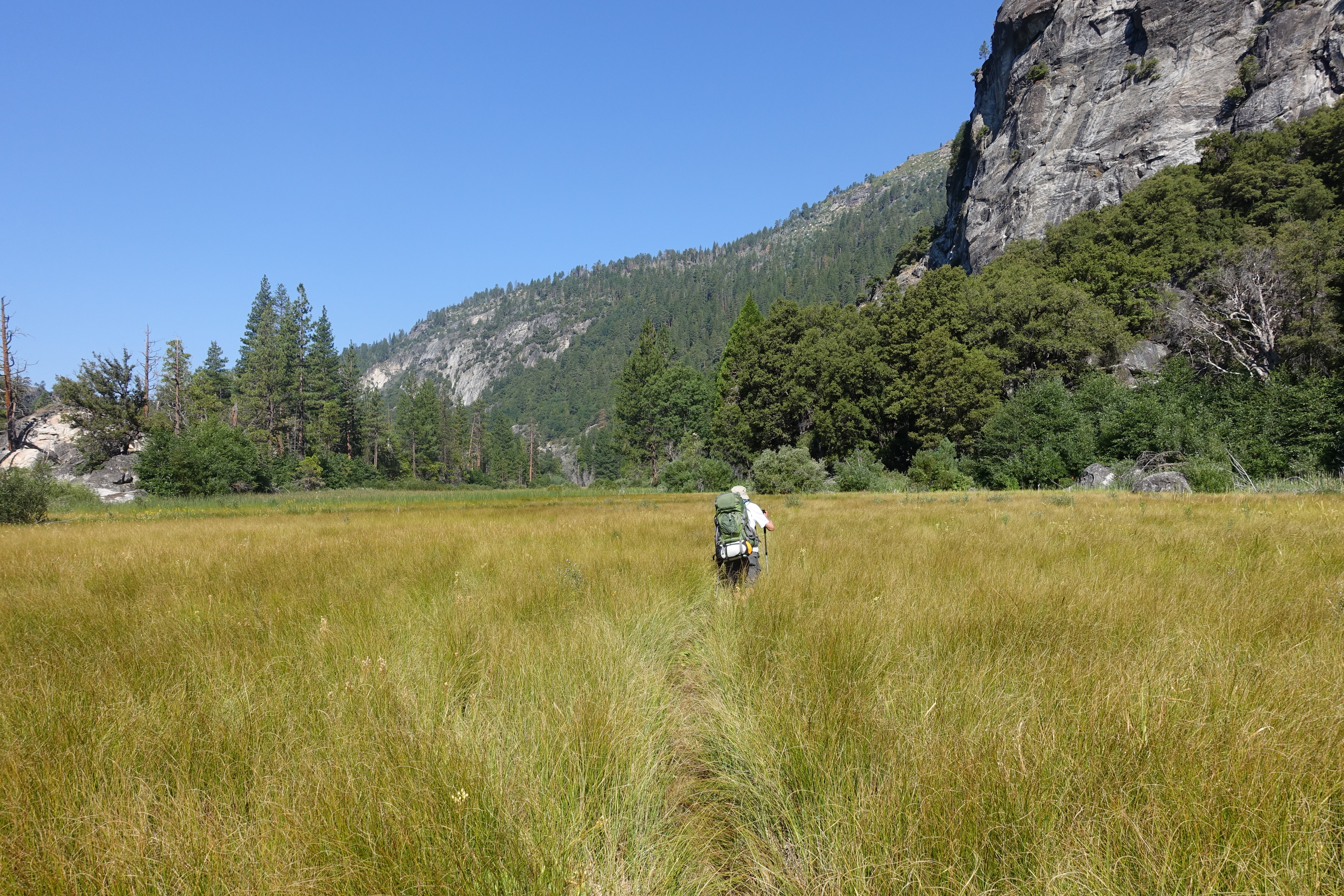
A very faint trail amidst waist high grasses is all we have to follow as we head West down the valley.
11 
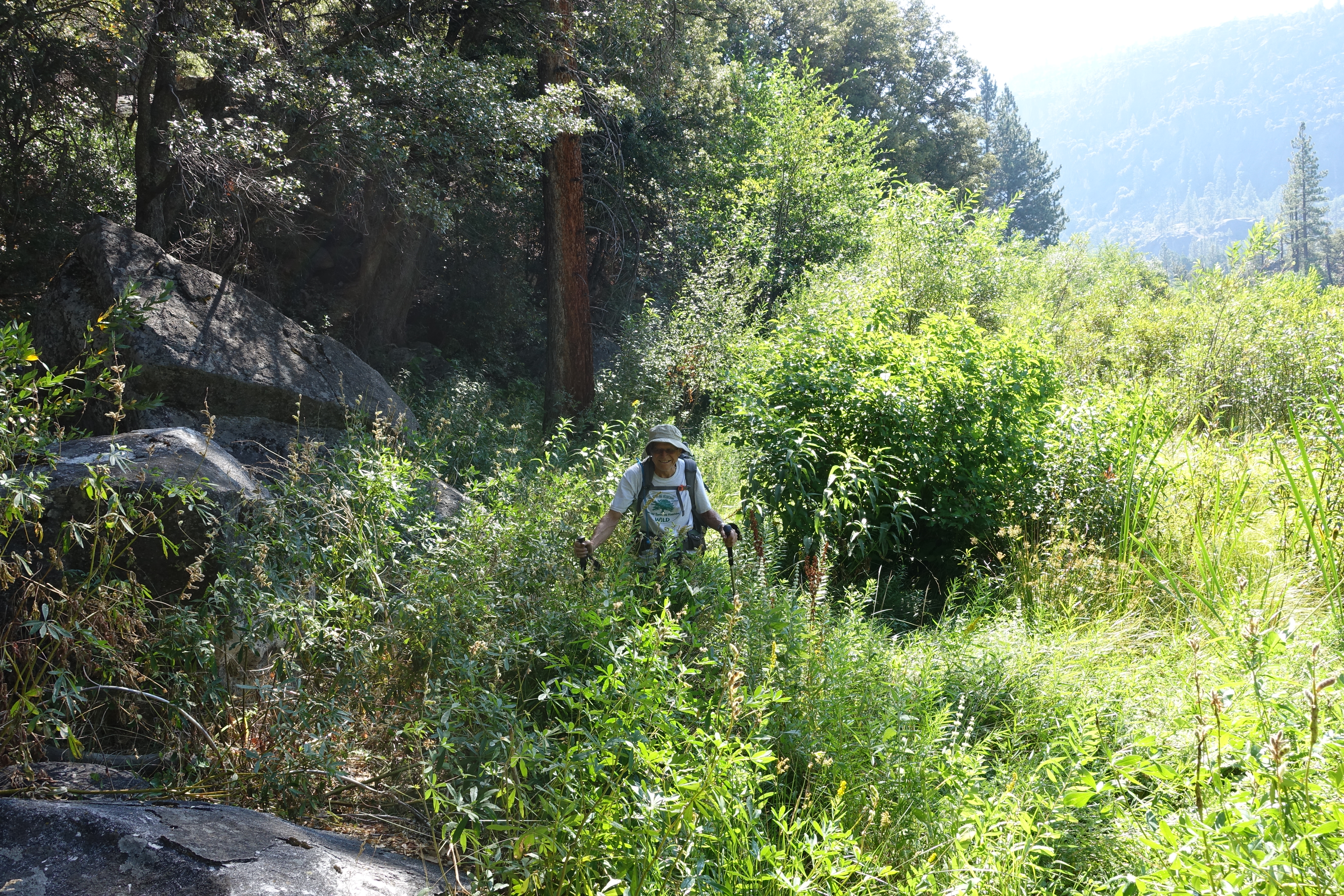
I'm all for overgrown trail, but this is getting out of hand. It's complete bushwhacking. Is it really even the trail??
12 
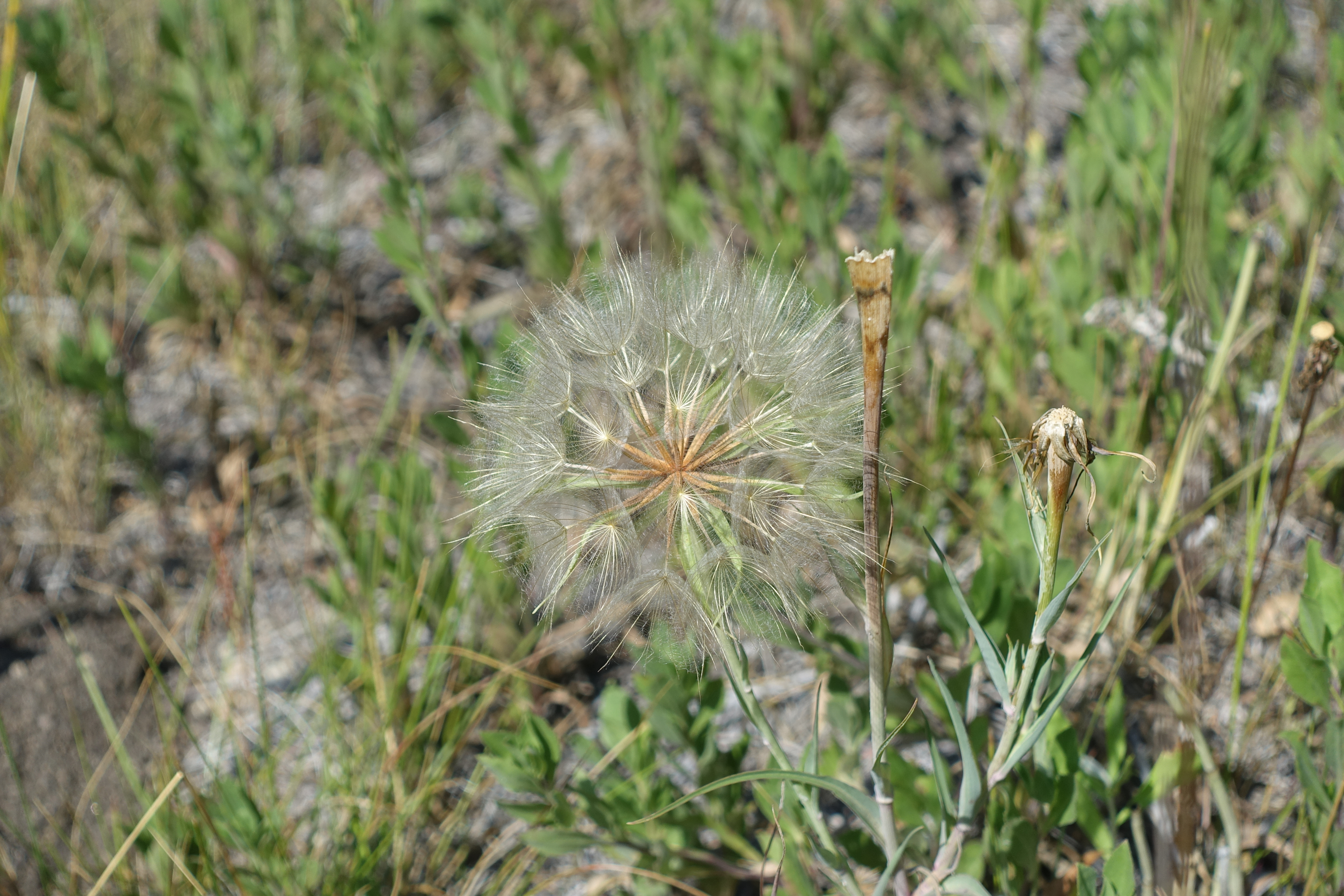
Probably the biggest, and most perfectly formed, dandelion I have ever seen.
13 
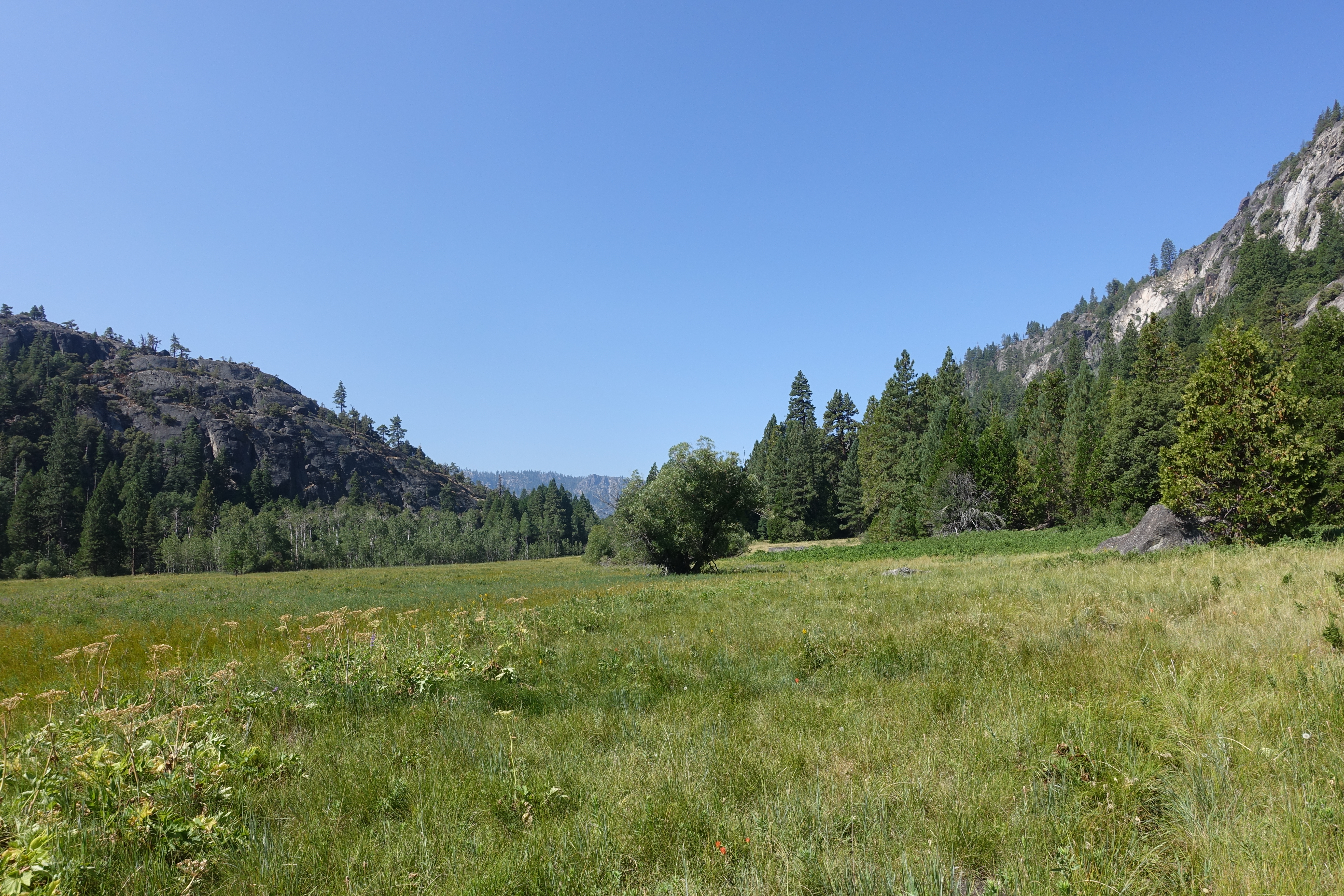
Nearing the end of the valley. The trail is completely gone and something definitely doesn't seem right. The trail hasn't been heavily used or well maintained for a while now, but now it's just gone. After studying the map, we realize that we must have missed a junction somewhere. It looks like we are continuing down Tiltill Valley where the trail actually goes down a different canyon East of here. So we start backtracking...
14 Heading back up the valley. At least it's a beautiful view. We finally realized that we had somehow got on the Vernon Lake trail, which meant there must be a junction heading South somewhere past the bushwacking section.
15 
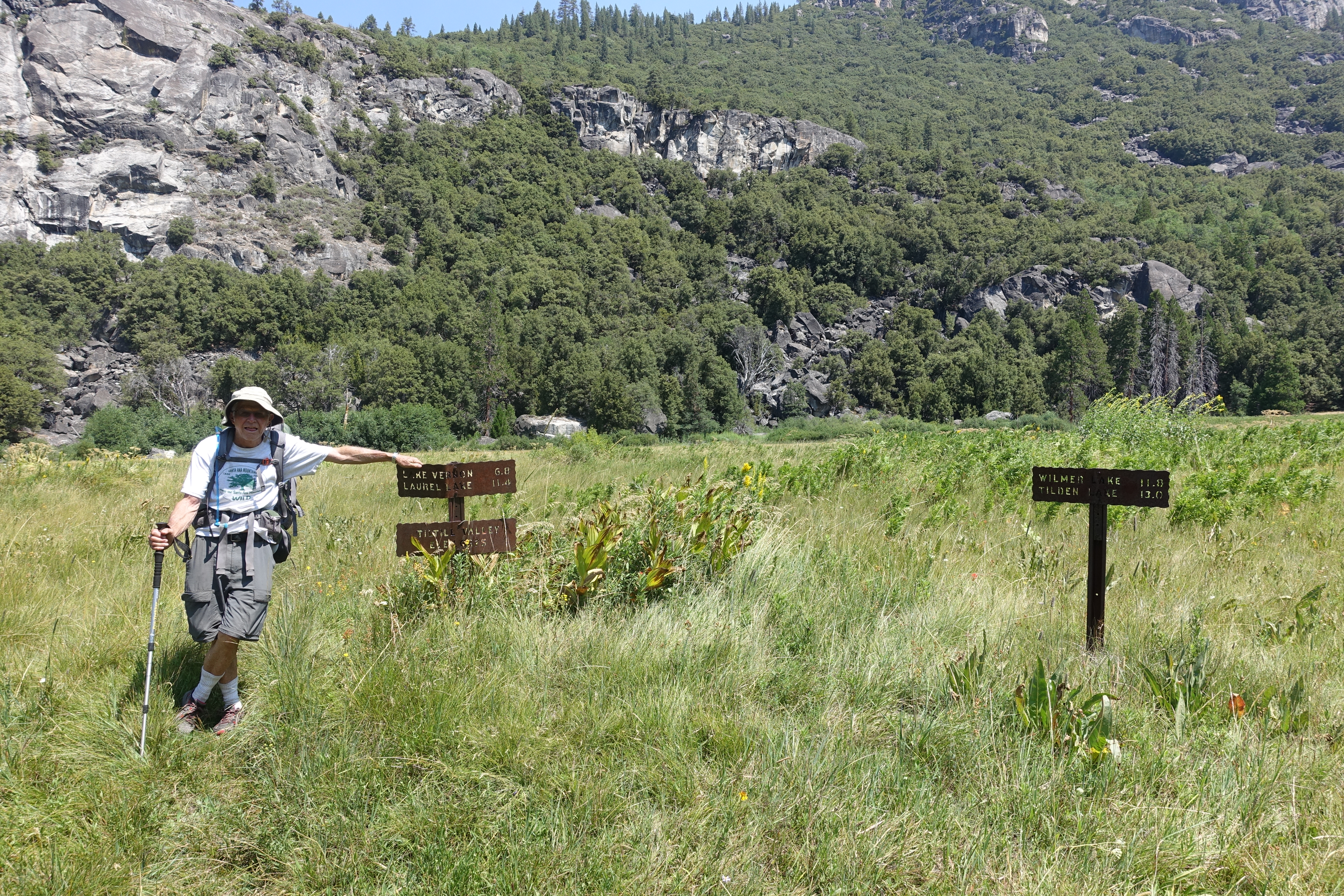
Found it! The Lake Vernon "trail" is on the left, barely visible. As you can see, the trail from Wilmer Lake on the right is completely gone. No wonder we missed it. At least now we're confident we're back on track. But the time, energy, and stress of the two hour detour doesn't help any.
16 Now back on the real trail heading down the switchbacks to Hetch Hetchy.
17 We didn't have much tree fall on the trail, but when we did, it sure wasn't easy to traverse with the packs on. Not far from here, we saw our first humans in over 48 hours.
18 
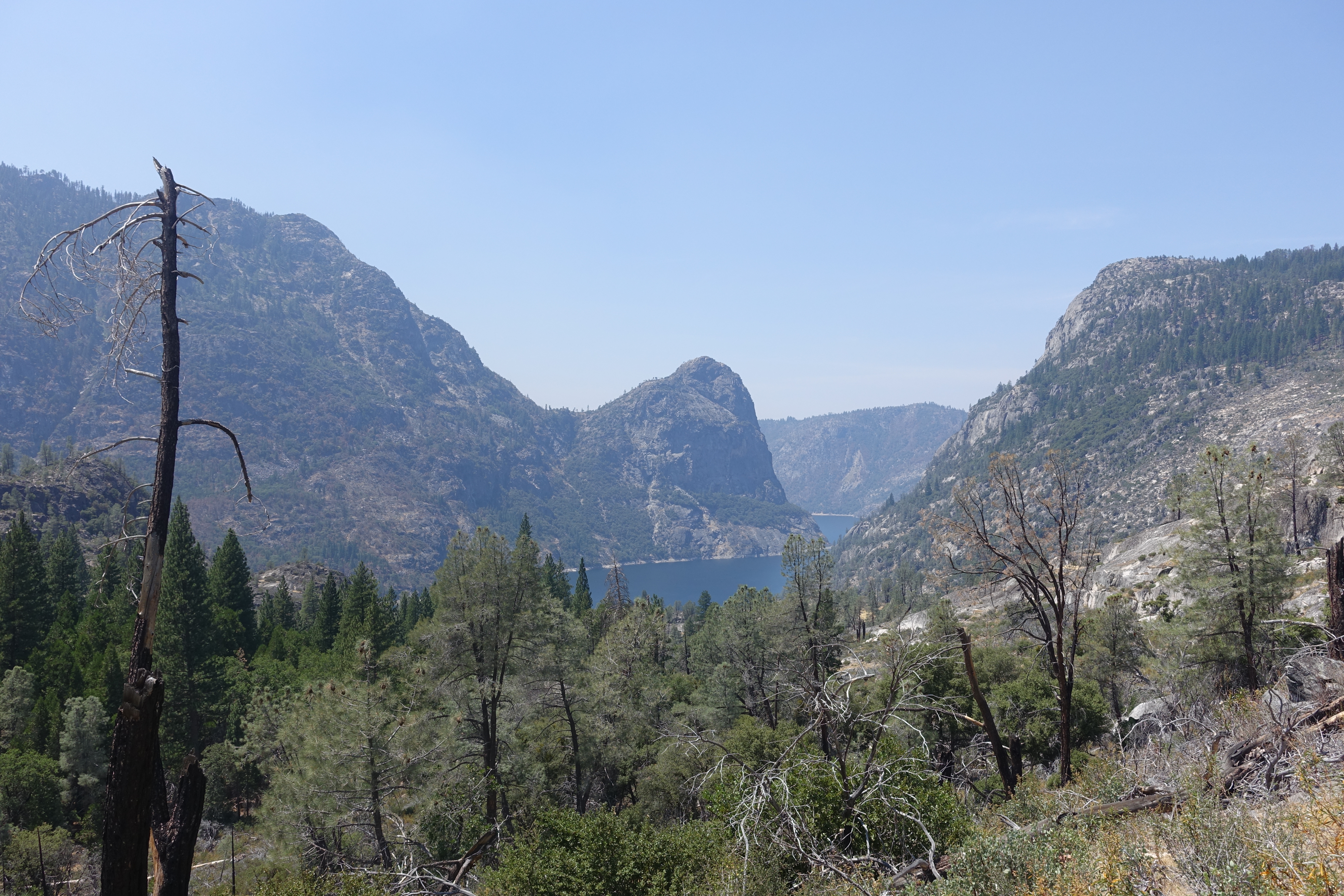
First views of the lake below.
19 
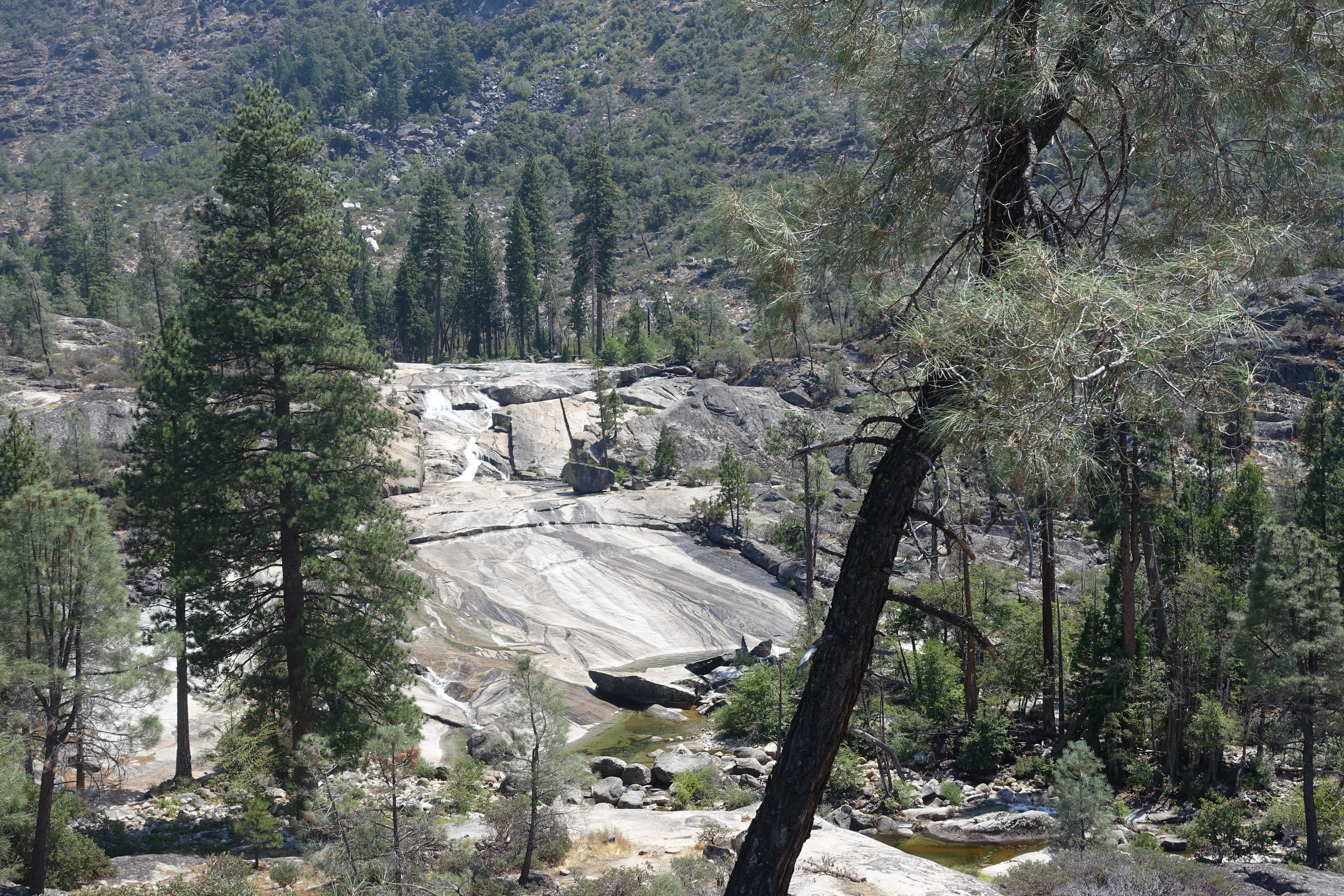
Ranchiera Falls. A roaring cascades in the Spring and a popular day hiking destination. Not much left now. At this point, we are just about out of water though. And temperatures are in the mid-to-upper 90s! There are pretty much no water options the rest of the way. We debated about trying to climb down to this creek, but ultimately decided to try our luck with the very last creek possibility, Tiltill Creek about a mile away.
20 
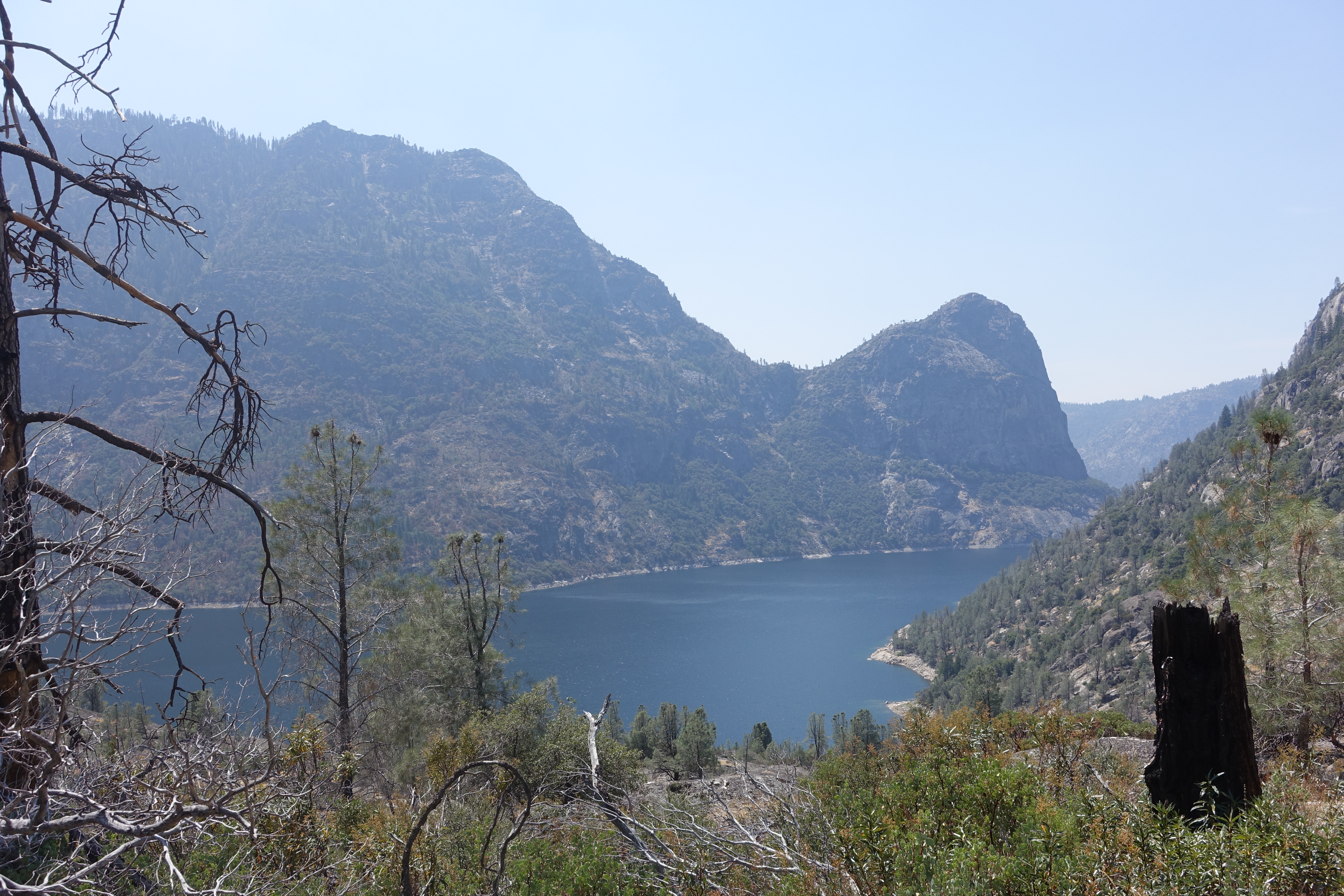
So much water so close but yet so far. If Tiltill Creek is dry, we could be in some serious dehydration trouble.
21 Tiltill Creek. There's water! But how do we get to it??
22 Fortunately there was a small pool above the bridge where we could filter water. We actually had to change the filter out because it was so clogged from yesterday's mucky filtering.
23 Now replenished with water, we proceed along the North shore of the lake.
24 Almost around the prominent Kolana Rock, and we get our first view of the destination in the distance.
25 Dad's picture of me near Kolana Rock.
26 Amazing views along the lake shore. Too bad it's man made.
27 Some great singletrack through this area.
28 The closest the trail gets to water level.
29 The viewing bridges in front of Wapama Falls. Evidently shrouded by mist in wet years.
30 What remains of Wapama Falls, one of the tallest falls in the United States at 1,310'. It would be another 300' taller if the valley were still in its natural state. Google it to see pictures of the falls at their full splendor.
31 Another view of the falls.
32 Dad in the final stretch. You can see where the trail passes through the tree line along the rim of the lake. What we were hoping would be flat trail along the lake turned out to be some fairly steep, rolling ups and downs.
33 Hard to believe we were at the far end of the lake not long ago. But we are gassed out at this point and in death march mode trying to get to the finish line. And Dad's feet are pretty trashed from blisters (I should have made sure he put some miles in those shoes first!).
34 Made it back to the loop trailhead! Now just a couple miles left back to the car...
35 The iconic Hetch Hetchy Valley picture spot. It would be great to see it 300' deeper with a meadow at the bottom and the Tuolumne RIver flowing through it.
36 We came across a tourist just in time to take our picture.
37 Dad heading back through the tunnel.
38 One last view of the lake from on top of the d*m.
39 Back to the car. 6:49pm. Exhausted but in one piece! My Suunto shows the more than 3,000' of descent for the day. End of an amazing experience!