
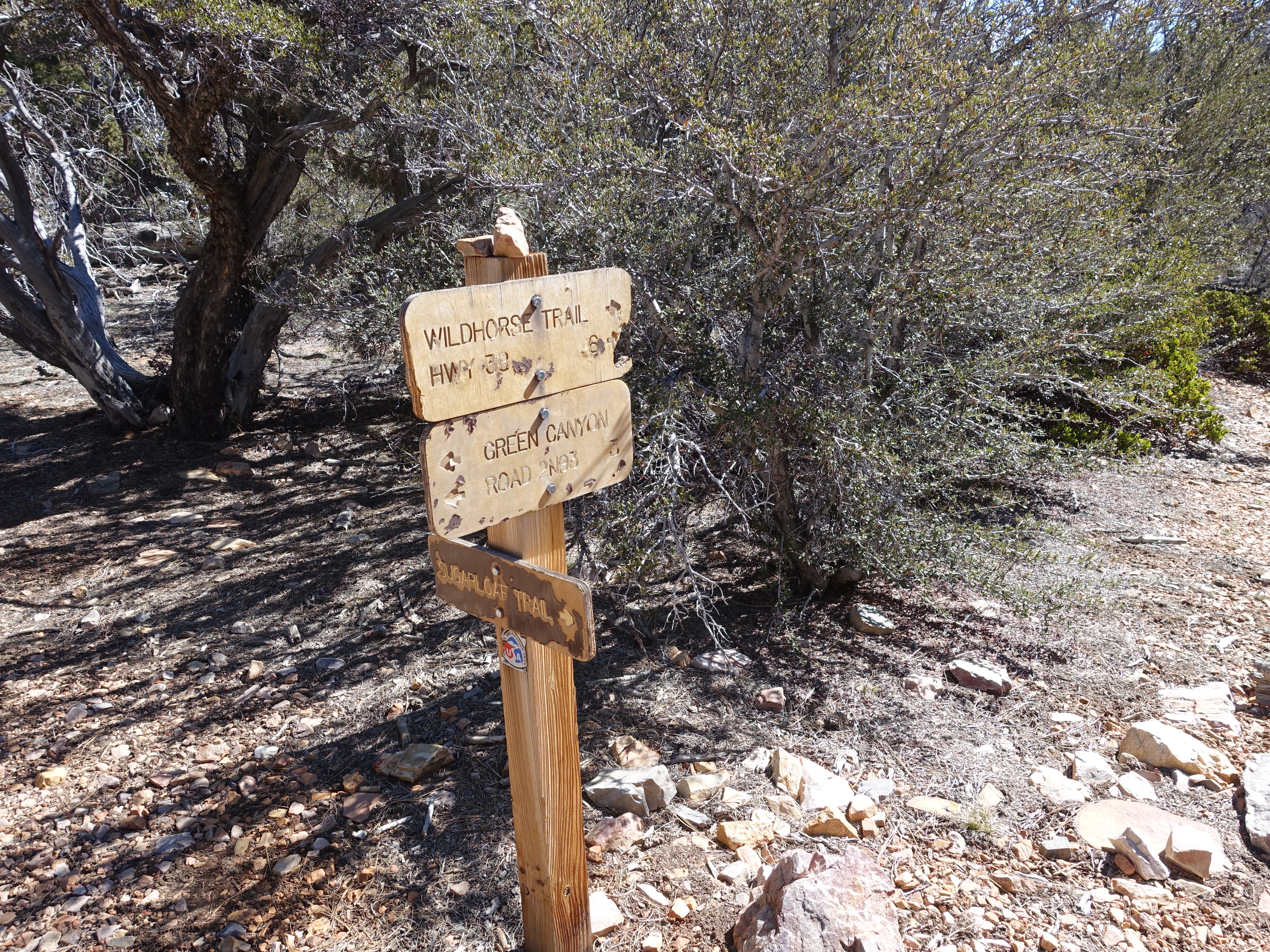
The fireroad off Highway 38 leading to the Sugarloaf Mountain trailhead. I had read that it might be closed in the winter, but I was hoping it would still be…

Once reaching the real trailhead, there's some great singletrack.
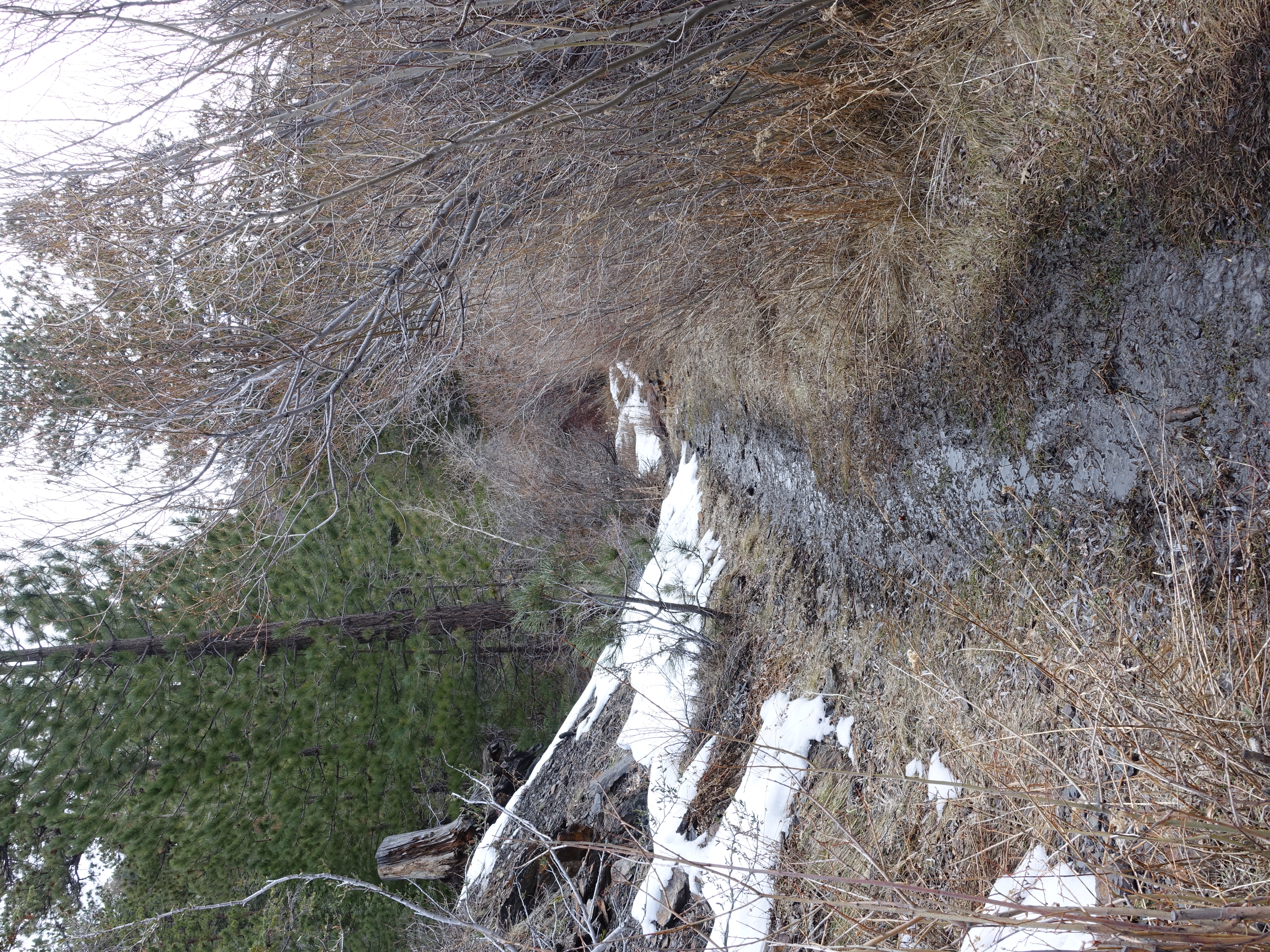
Starting to get muddy and there's already patches of snow, which I wasn't really expecting.
Before long, there's some decent sized patches. Unfortunately, it was also pretty icy in places, which made for slow going.
At the 3 mile marker, halfway from the fireroad to the summit.

Great peekaboo views of Mt. San Gorgonio along the way.

It's supposed to snow this afternoon, and it looks like the storm is rolling in.
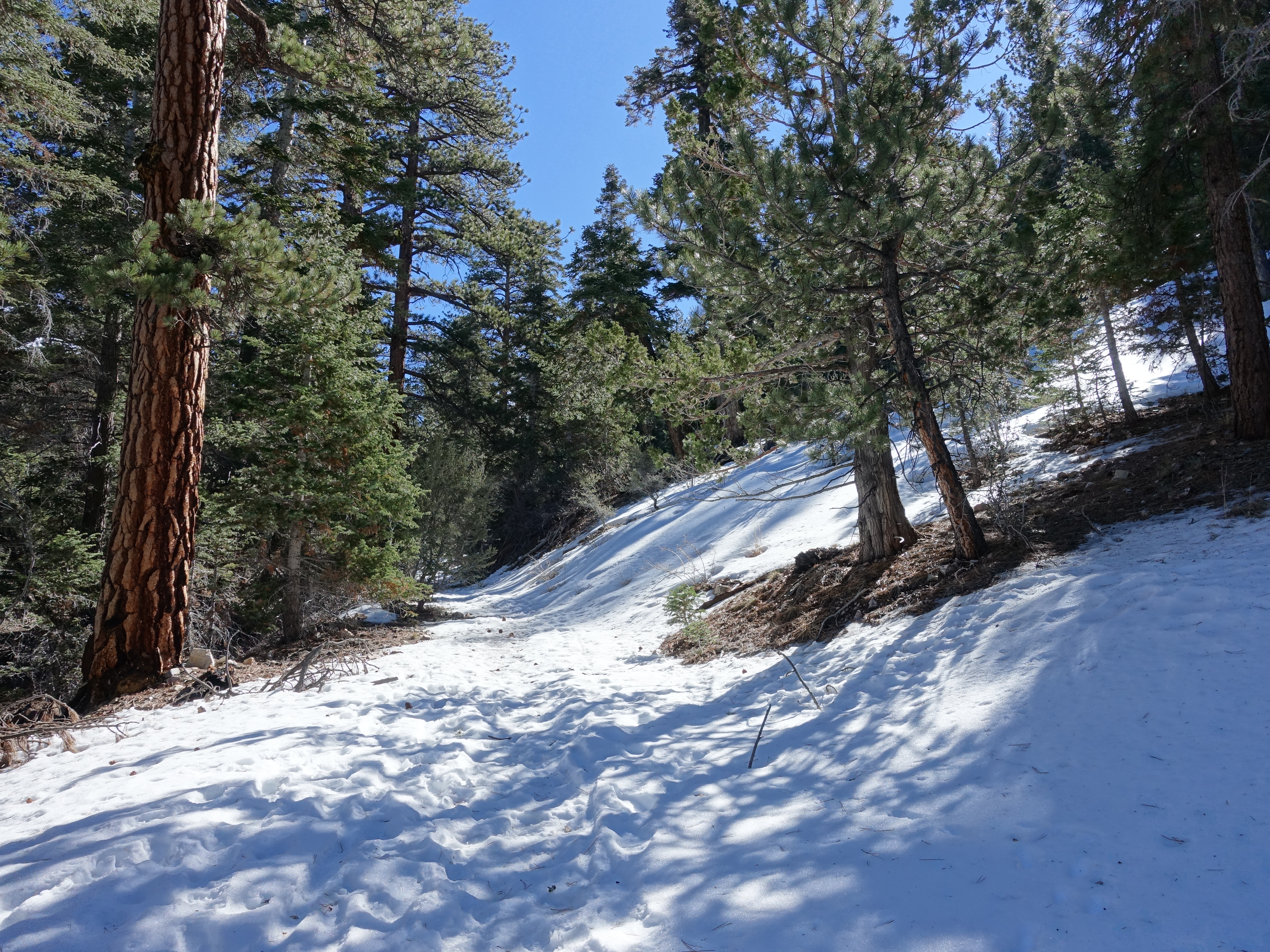
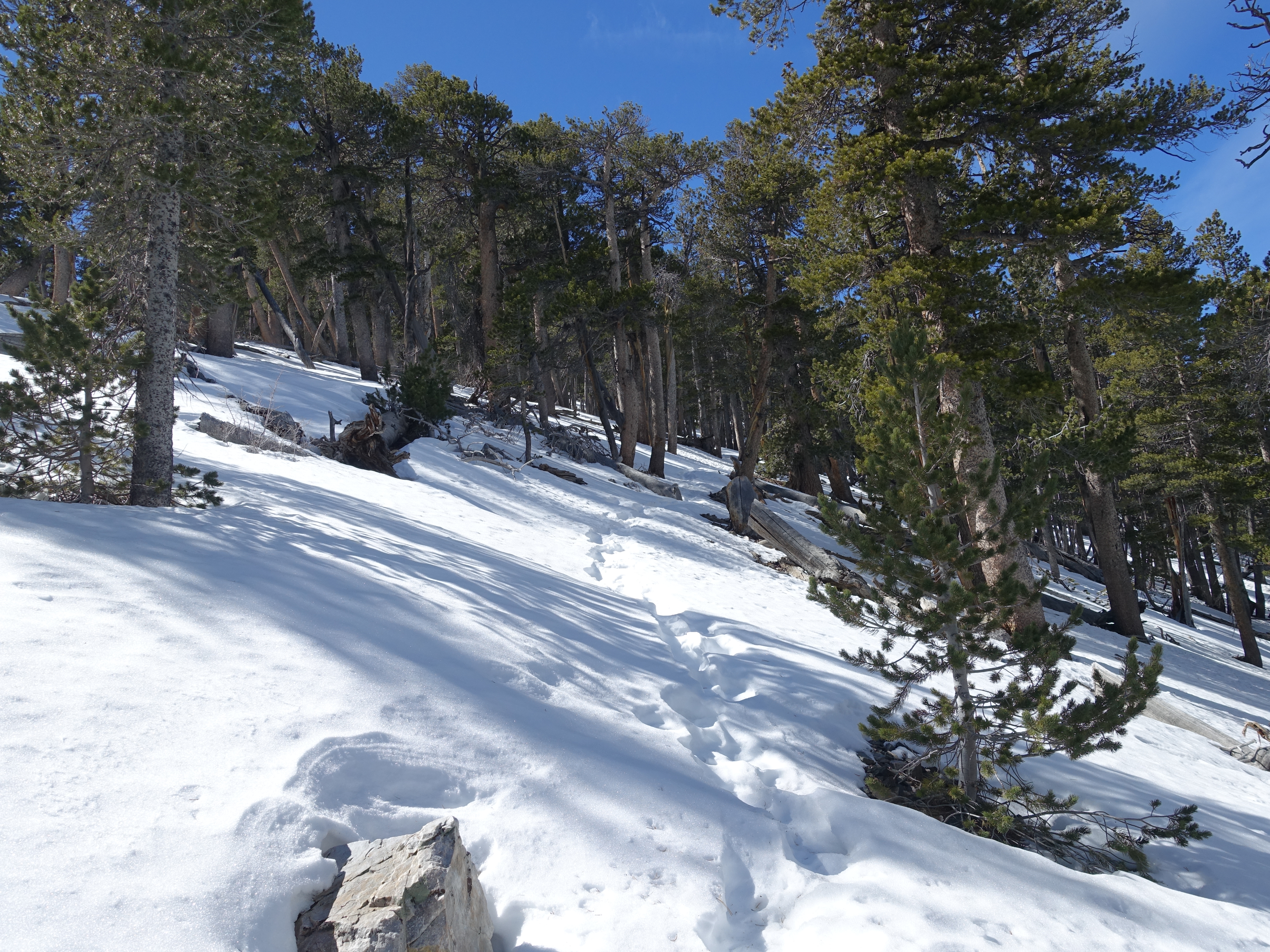
Above 9,000', the snow was pretty solid. Running was tough, but I still tried to keep moving as fast as I could.
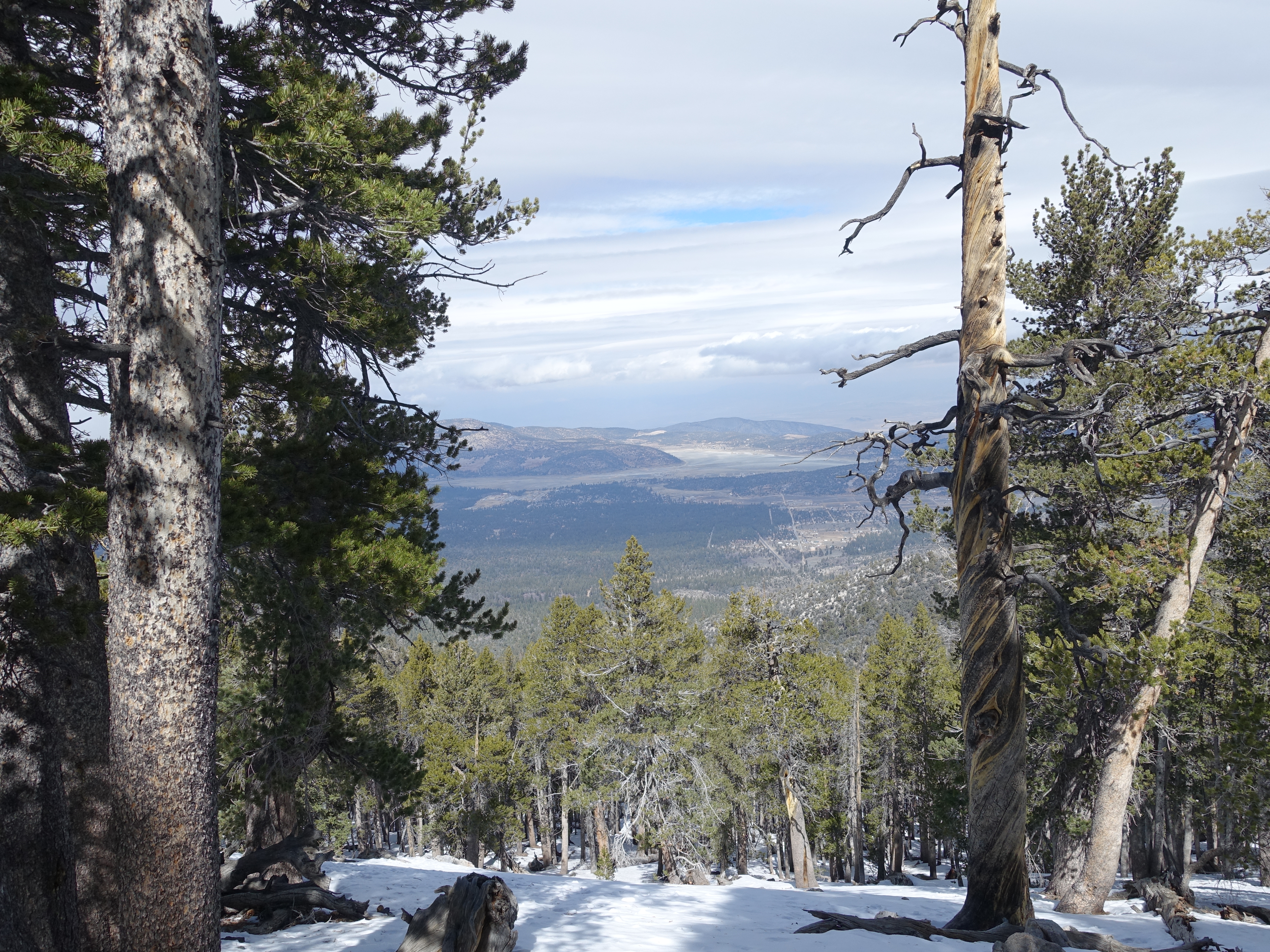
View of the Big Bear valley below.
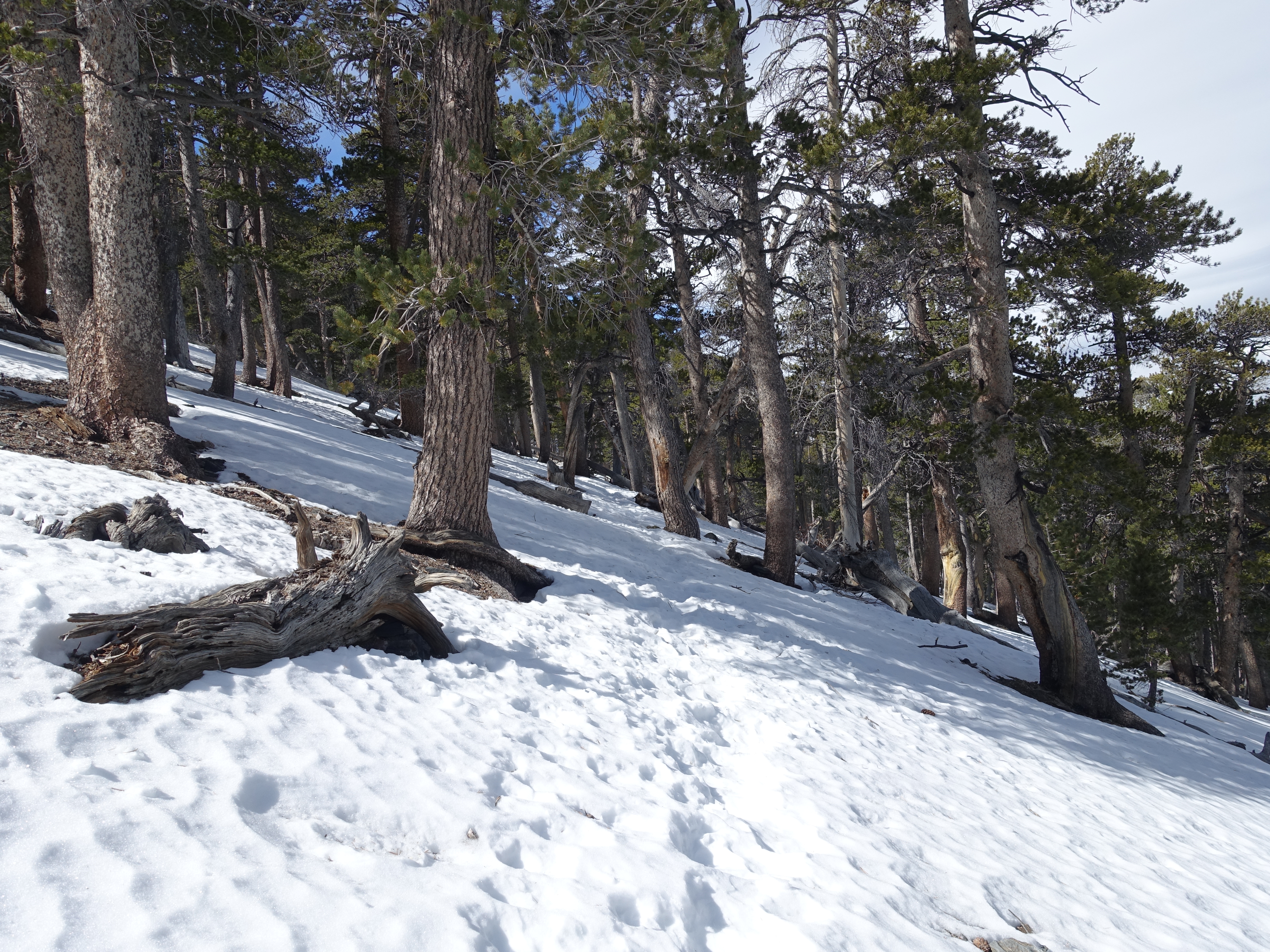
Approaching 10,000', the snow gets a litlte deeper, and the trees start thinning out.
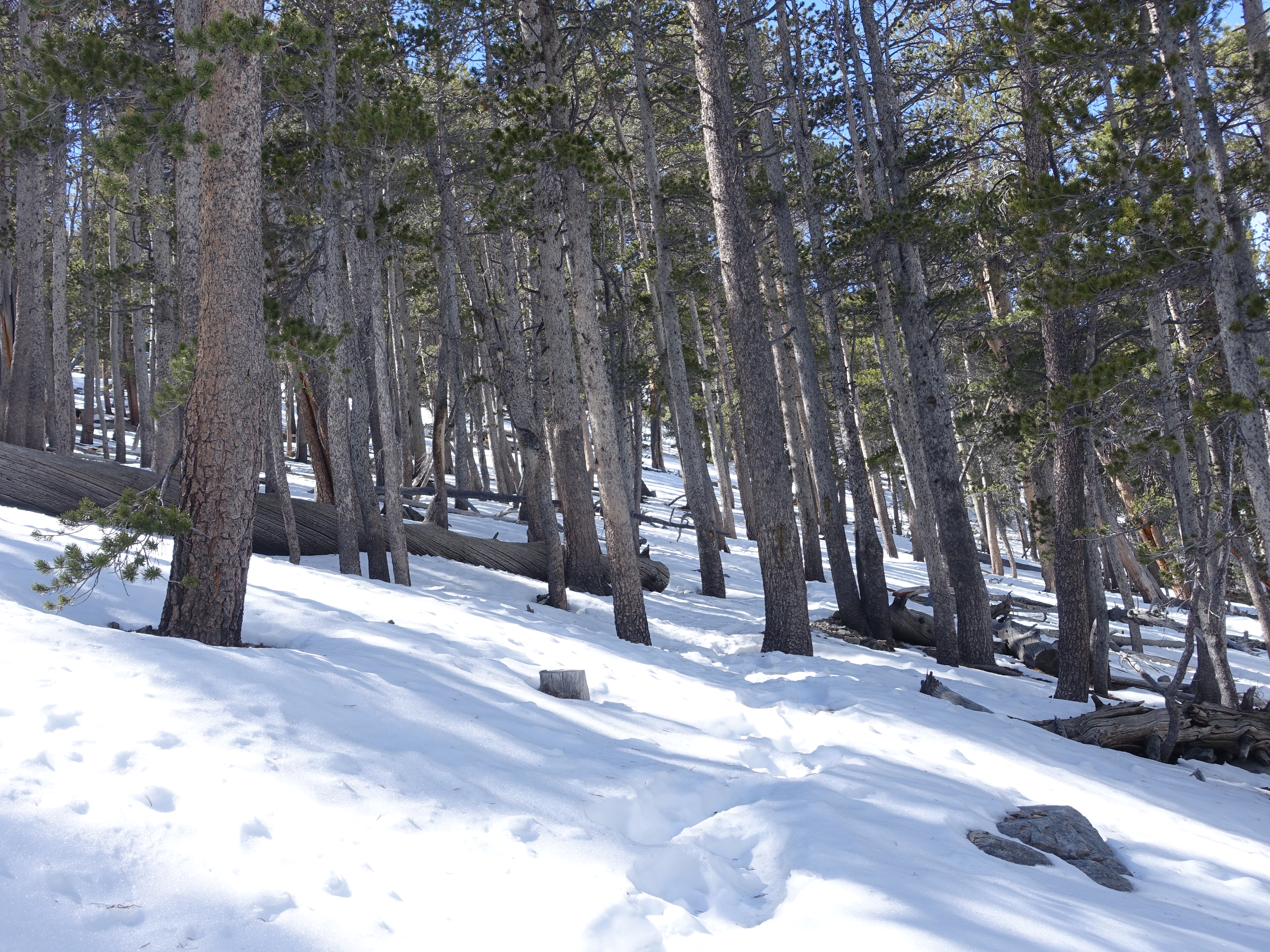
Nothing like trekking through the forest in the snow.
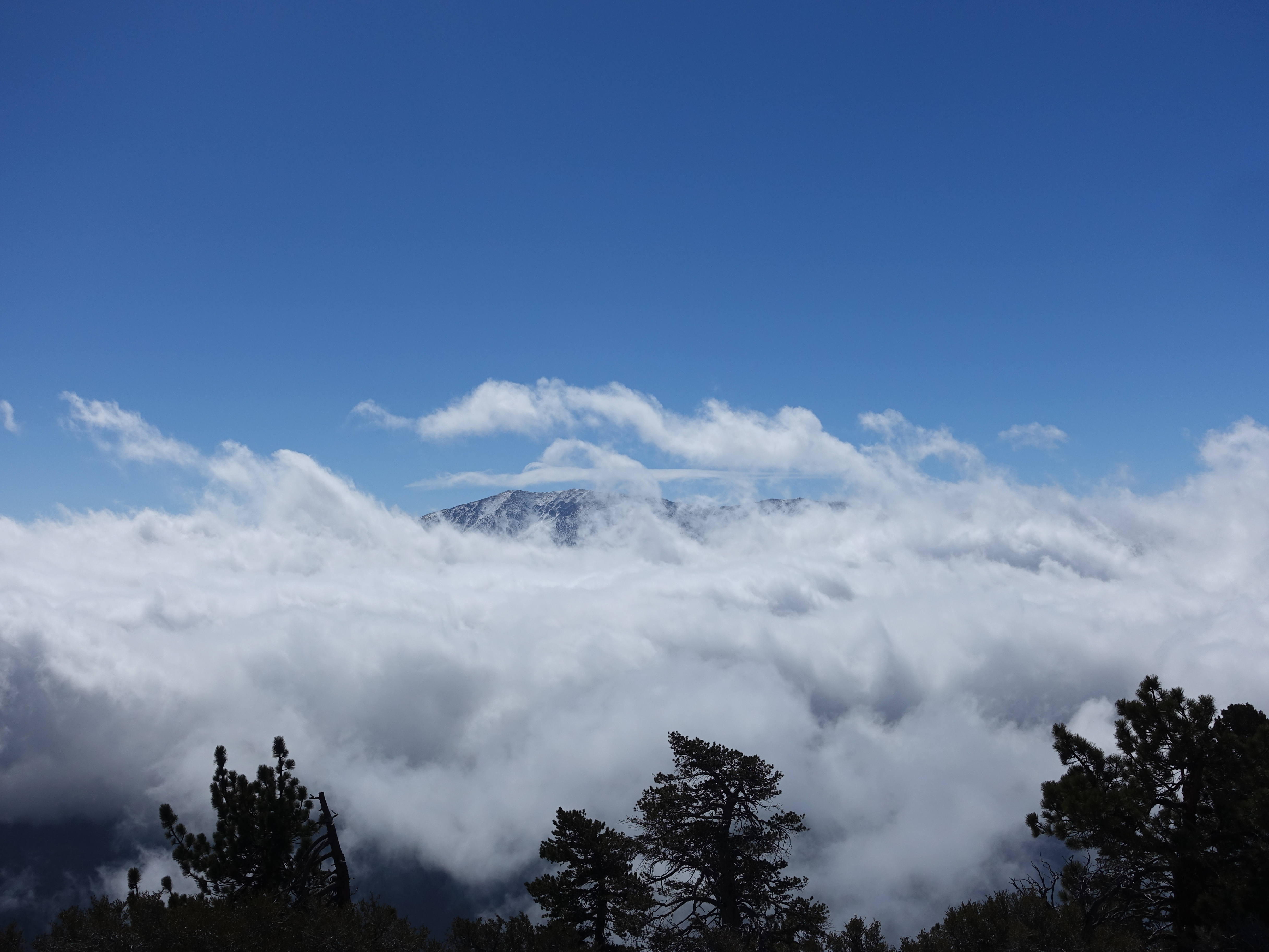
The storm is definitely starting to blow in now. This would probably be an amazing view of San Gorgonio on a fully clear day.
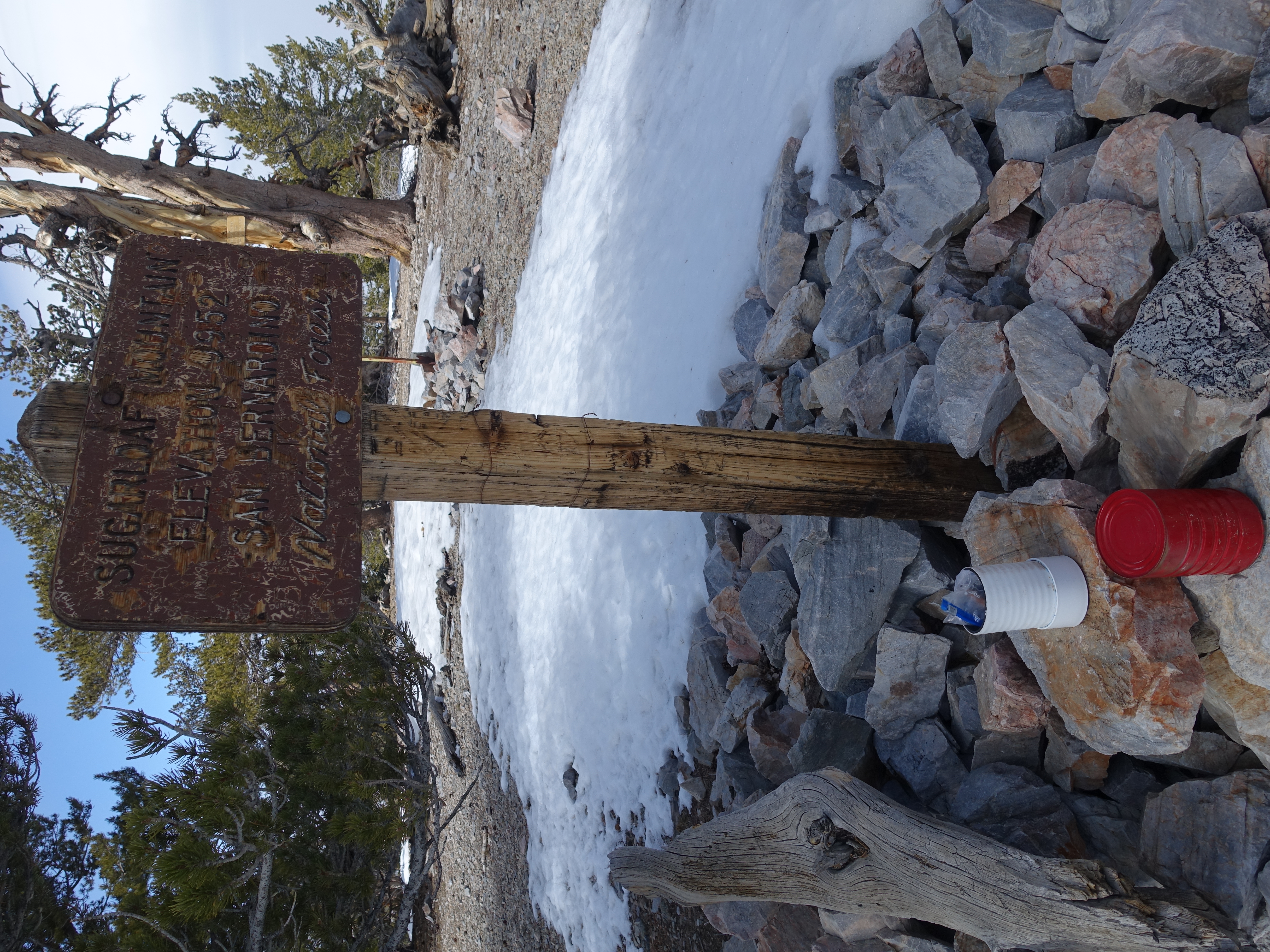
Made it to the summit at 9,952' and signed the book. Judging by the sign-ins, it doesn't look like there's much traffic up here this time of year.
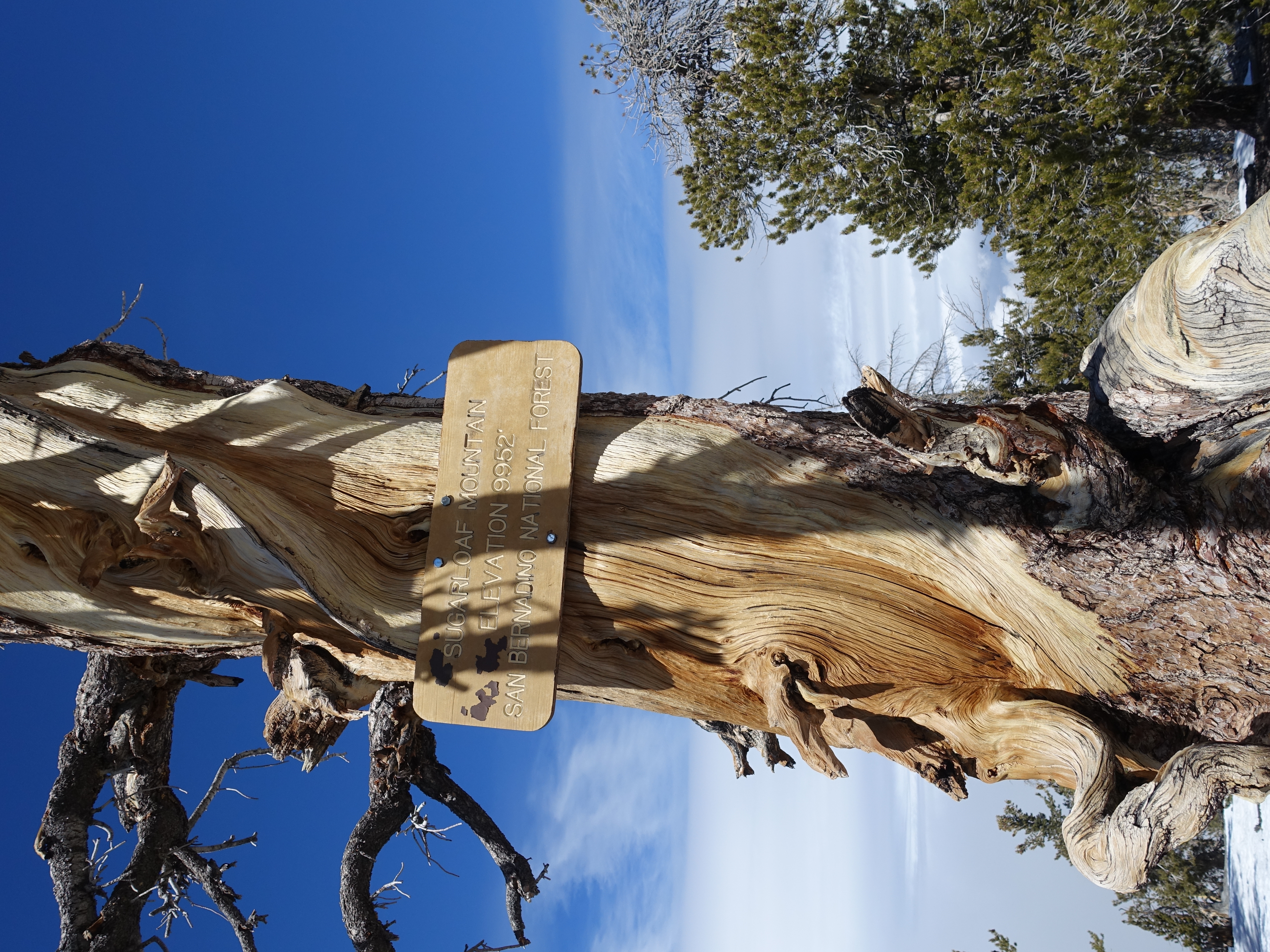
A newer summit sign.

360 from the summit. The trees block any clear views, but it's still a great litlte destination. I made good time on the way down despite the snow and technical…