Smith Mtn and Bear Creek

12/18/11 & 2/4/17  The Upper Bear Creek Trail to Smith Mountain and Bear Creek in the San Gabriel Wilderness. 13 miles of awesome single track. Steep, but mostly runnable, for almost 4000' of total gain.
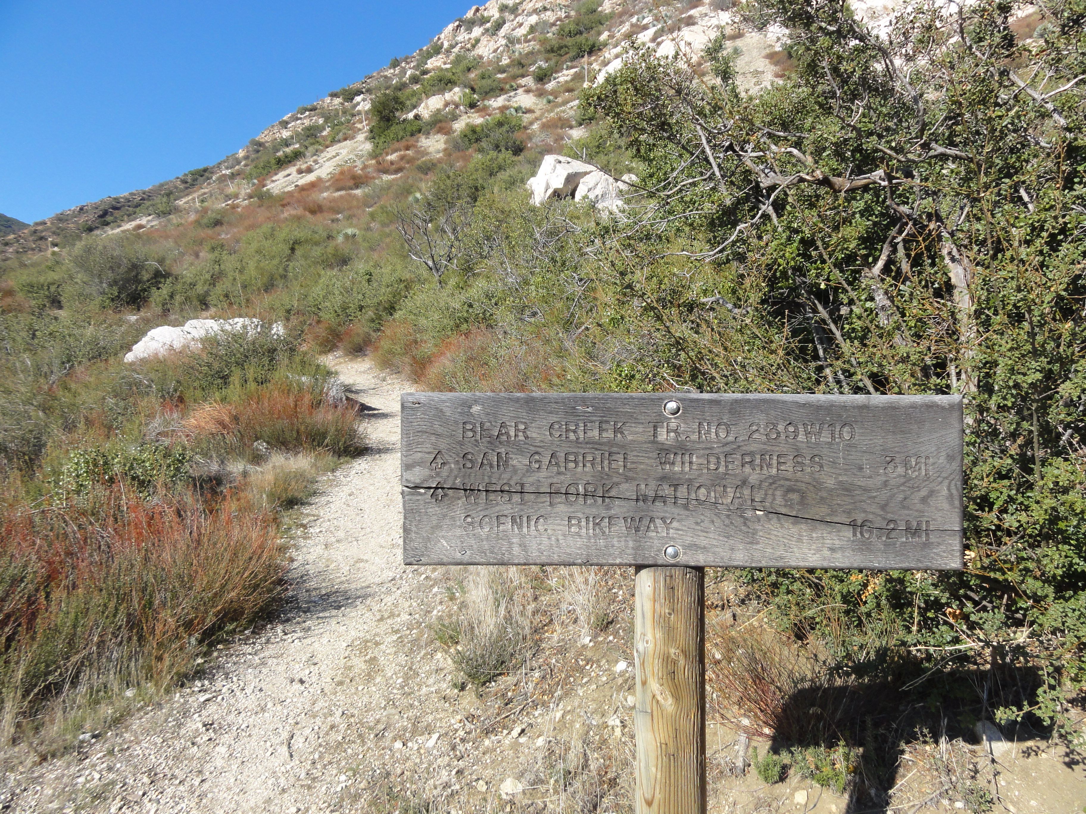
DSC00760 A late morning start on a beatiful day following a recent rain. 3 miles to the ridge below Smith Moutain. I had been looking for some new trail that would be...
A late morning start on a beatiful day following a recent rain. 3 miles to the ridge below Smith Moutain. I had been looking for some new trail that would be…
IMG_0300 The trail to the ridge is maintained by the San Gabriel Mountain Trailbuilders, a volunteer group that does an awesome job on the trails. It's clear a lot of...
The trail to the ridge is maintained by the San Gabriel Mountain Trailbuilders, a volunteer group that does an awesome job on the trails. It's clear a lot of…
IMG_0227 My first good look at Smith Mountain.
My first good look at Smith Mountain.
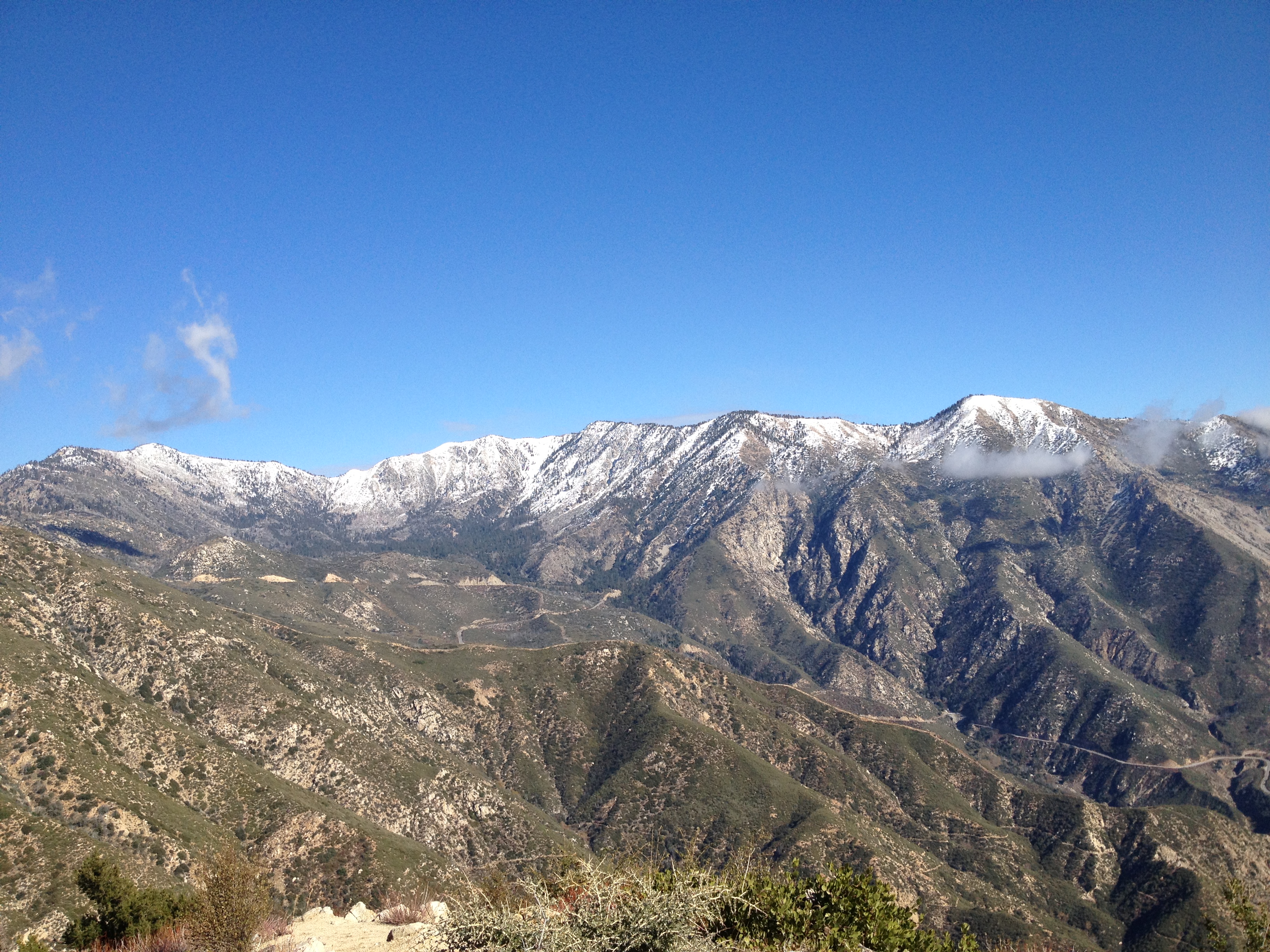
IMG_0231 Made it to the ridge. The view is amazing, the pictures don't do it justice. The air was perfectly crisp and clear, and the snow was fresh on the nearby...
Made it to the ridge. The view is amazing, the pictures don't do it justice. The air was perfectly crisp and clear, and the snow was fresh on the nearby…
IMG_0232 Another view from the ridge with Mt. Baldy in the distance.
Another view from the ridge with Mt. Baldy in the distance.
IMG_0234 A look down the valley towards Bear Creek. You can see the antennae on top of Mt. Wilson in the distance.
A look down the valley towards Bear Creek. You can see the antennae on top of Mt. Wilson in the distance.
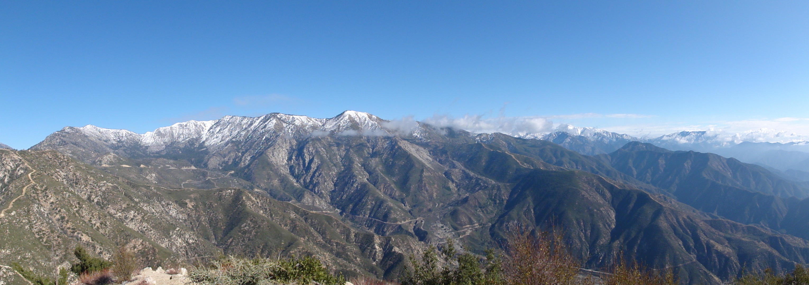
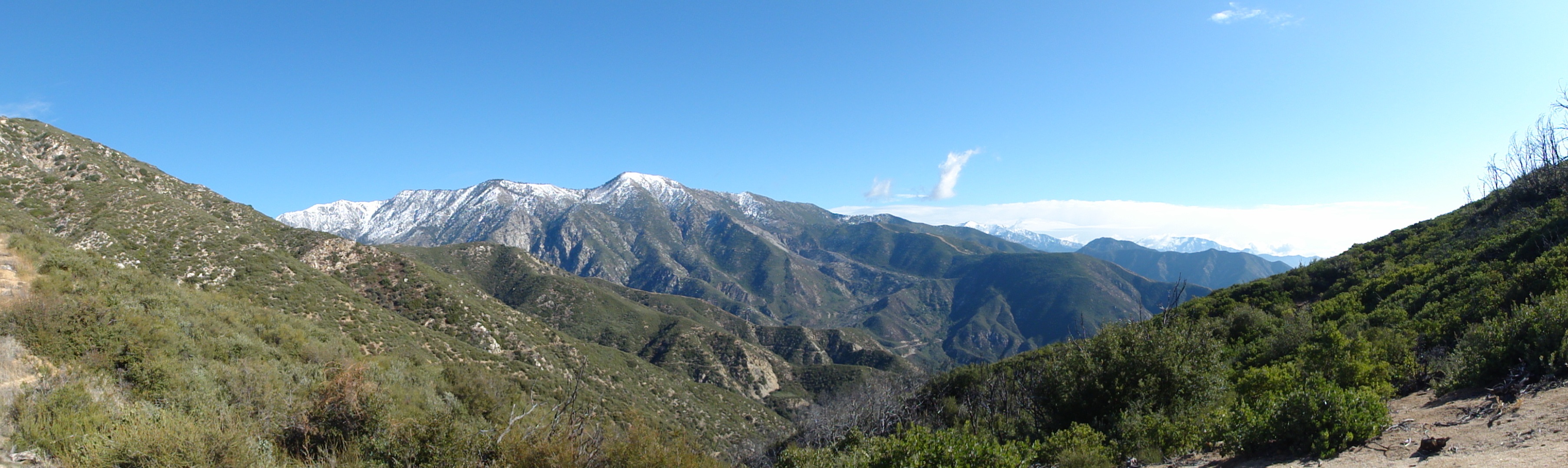
DSC00788 A panorama from the ridge.
A panorama from the ridge.
DSC00798 Another panorama. I'm glad I decided to try this trail!
Another panorama. I'm glad I decided to try this trail!
IMG_0240 Starting up to the top of Smith Mountain from the ridge. I don't think this is official trail, just a worn path. it starts by basically scurrying up a steep...
Starting up to the top of Smith Mountain from the ridge. I don't think this is official trail, just a worn path. it starts by basically scurrying up a steep…
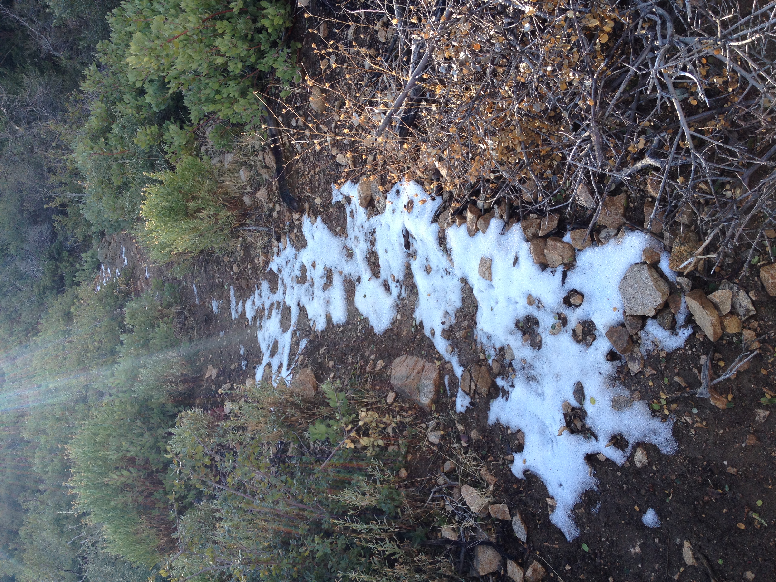
IMG_0243 I hit some small patches of snow starting at around 4500'.
I hit some small patches of snow starting at around 4500'.
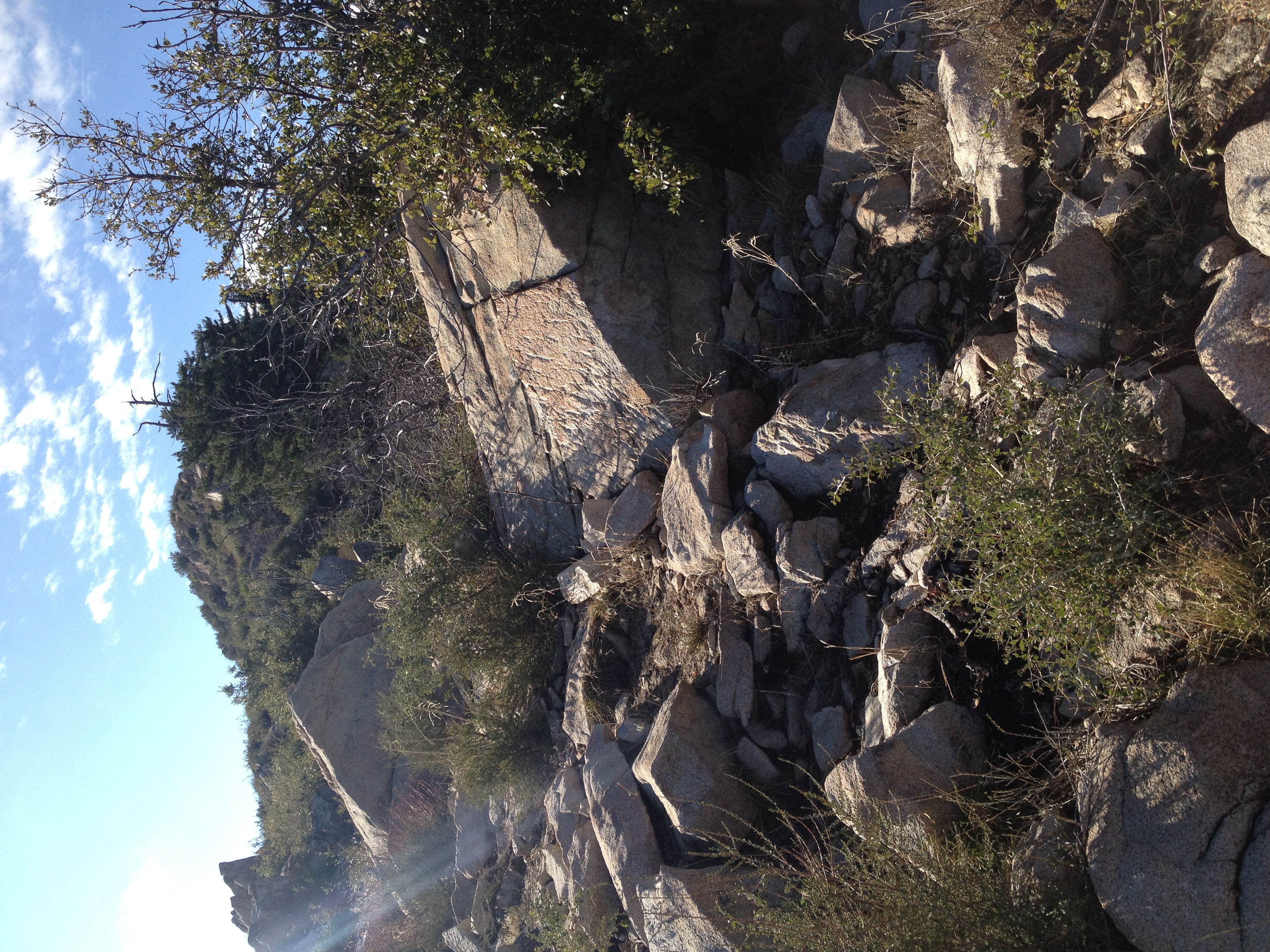
IMG_0252 This is the
This is the "trail". Basically an extremely steep scramble up the rocks. The last half mile is a 1000' HALF mile, so equivalent to a 2000' mile! Coming down…
IMG_0244 The official summit marker. 5111'.
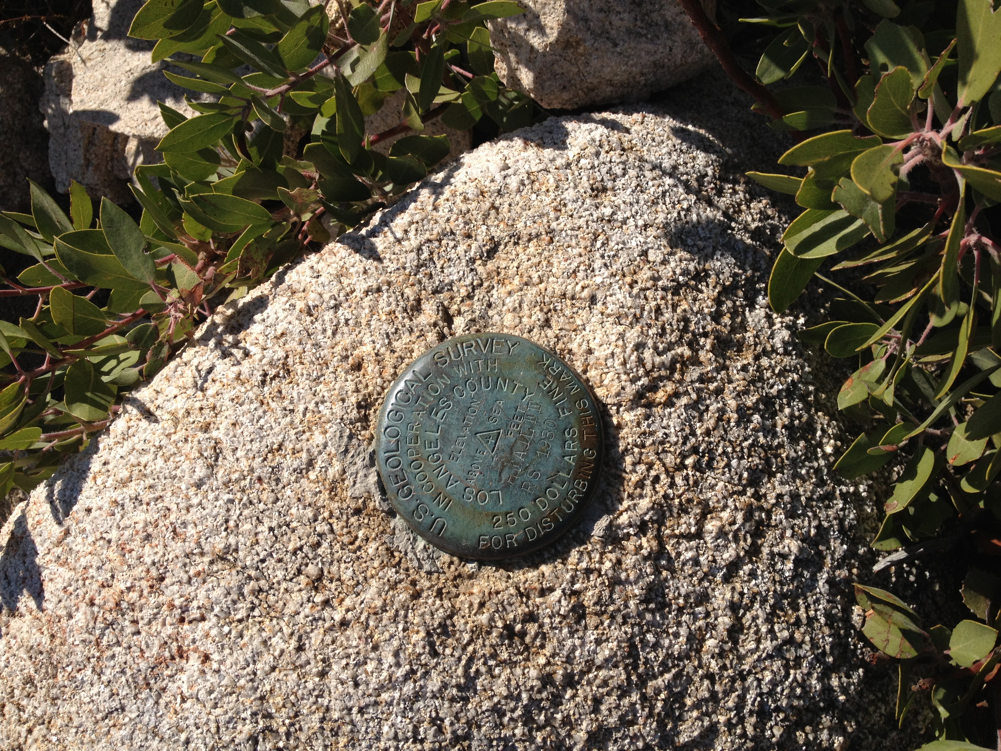
The official summit marker. 5111'.
IMG_0247 There's an unobstructed 360' view from the summit, with little sign of civilization in any direction.
There's an unobstructed 360' view from the summit, with little sign of civilization in any direction.
IMG_0248 More great views from the summit.
More great views from the summit.
DSC00799 A zoomed-in shot of Mt. Baldy with Dawson Peak and Pine Mtn. to the left.
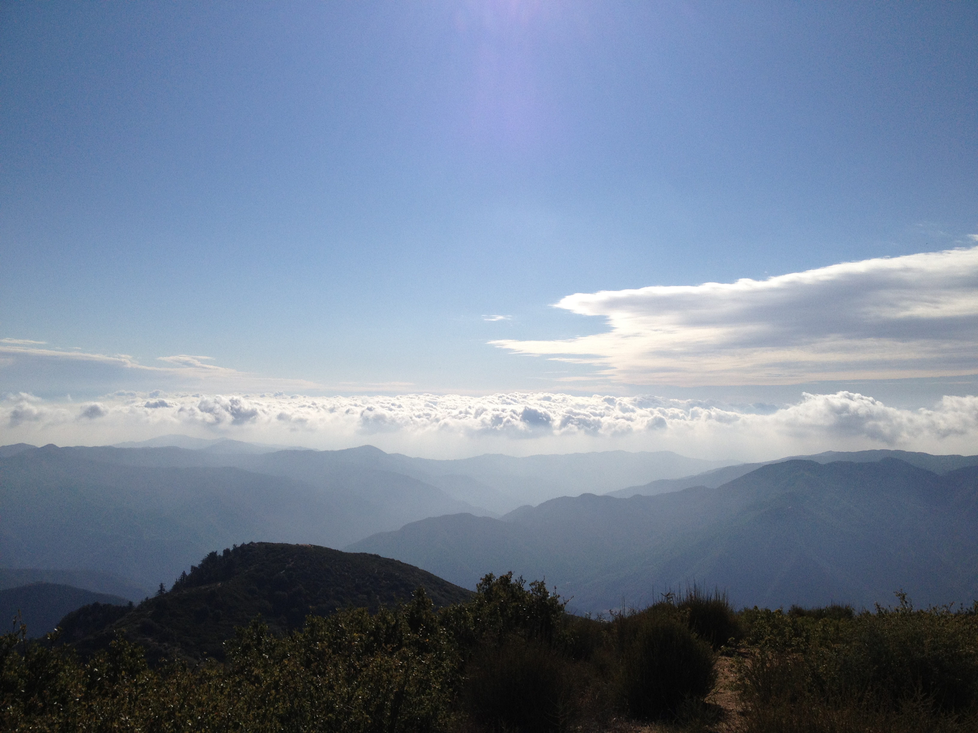
A zoomed-in shot of Mt. Baldy with Dawson Peak and Pine Mtn. to the left.
IMG_0251 A cool looking layer of clouds rolling-in.
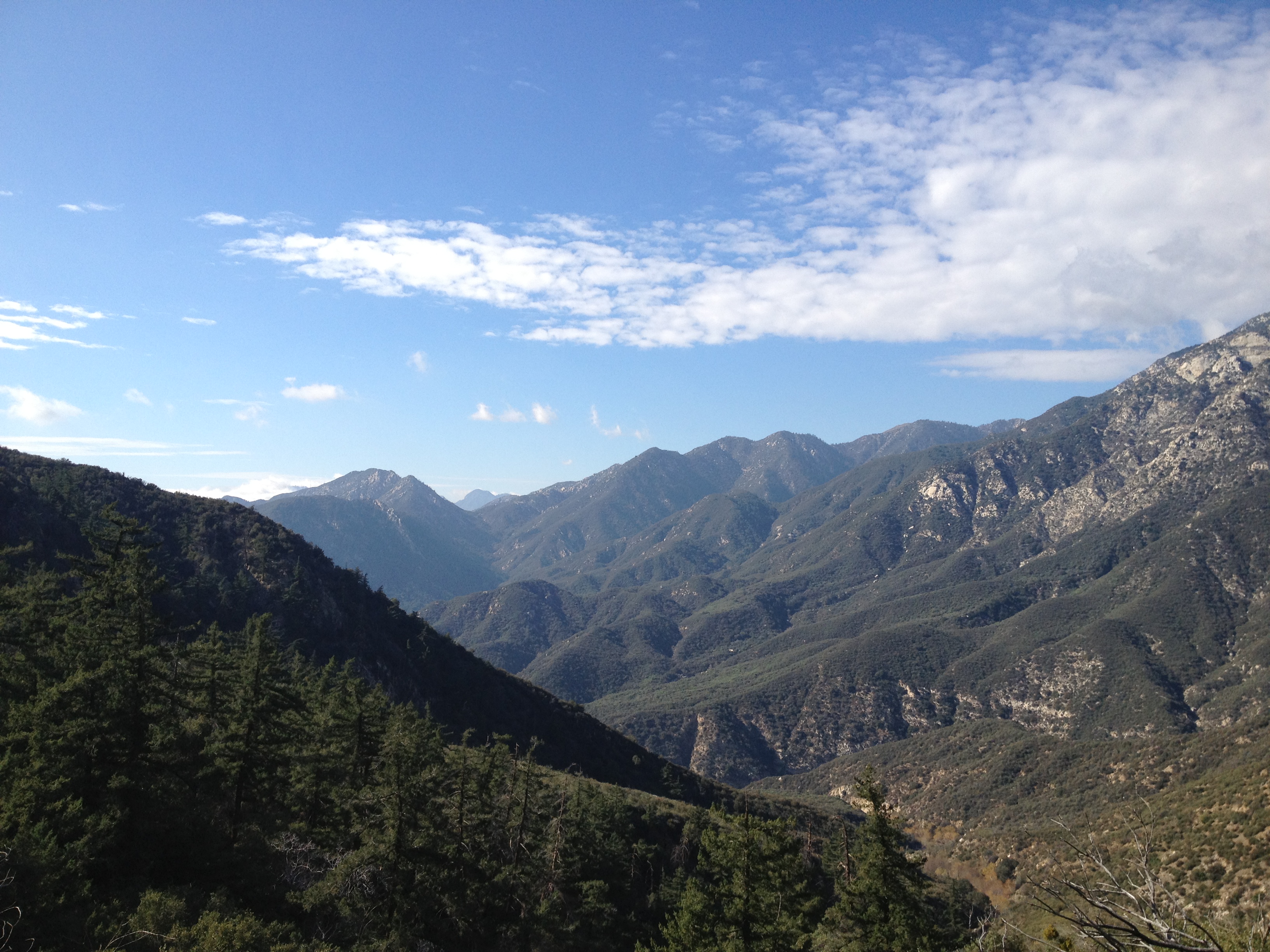
A cool looking layer of clouds rolling-in.
IMG_0257 Bear Creek is somewhere down at the bottom of that valley, which will be my destination for the day (if I have time).
Bear Creek is somewhere down at the bottom of that valley, which will be my destination for the day (if I have time).
MAH00796 The offical 360' summit video.
The offical 360' summit video.
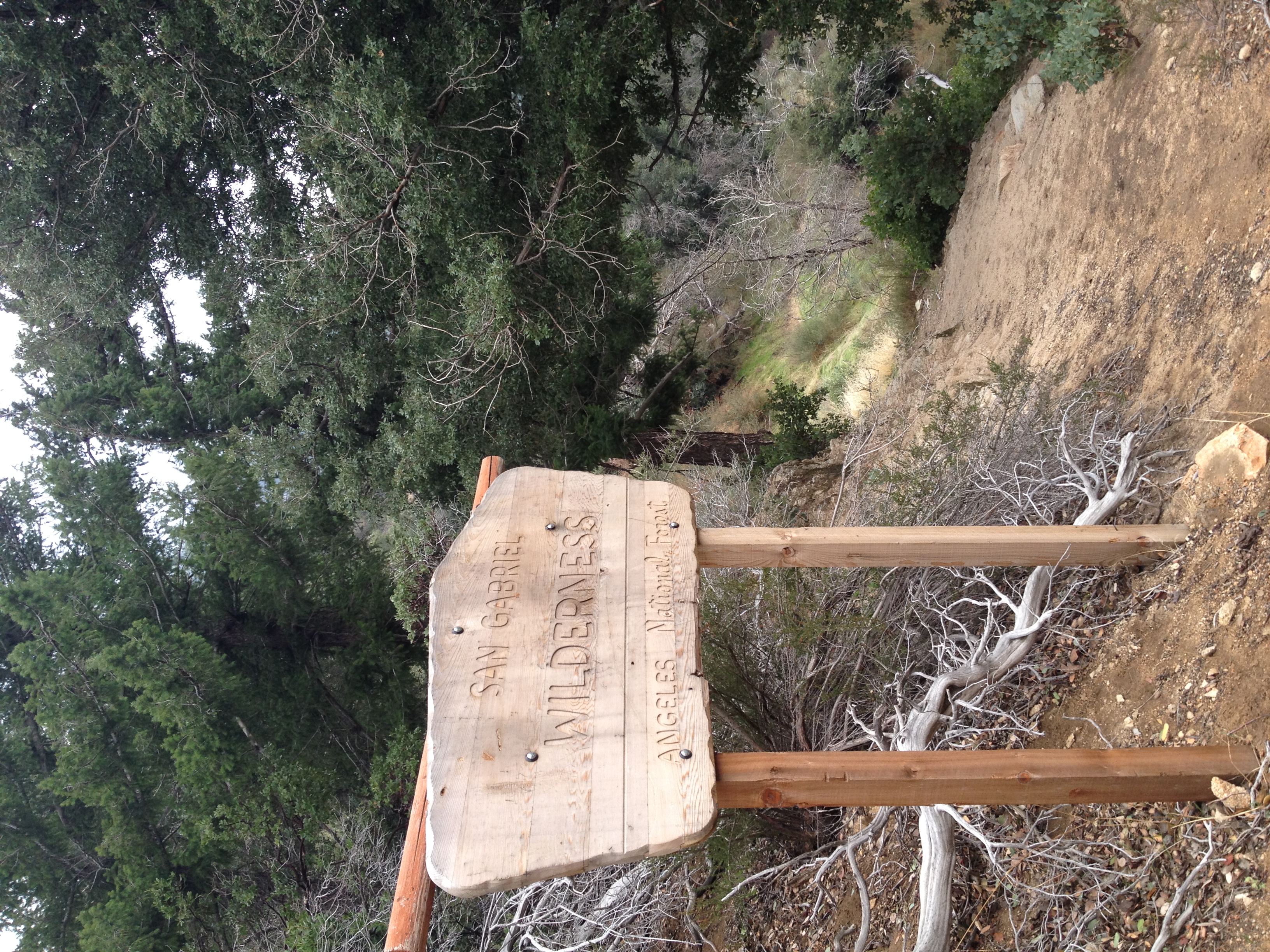
IMG_0294 Heading down the backside from the ridge into the San Gabriel Wilderness. I had read that the trail is not maintained from here on out.
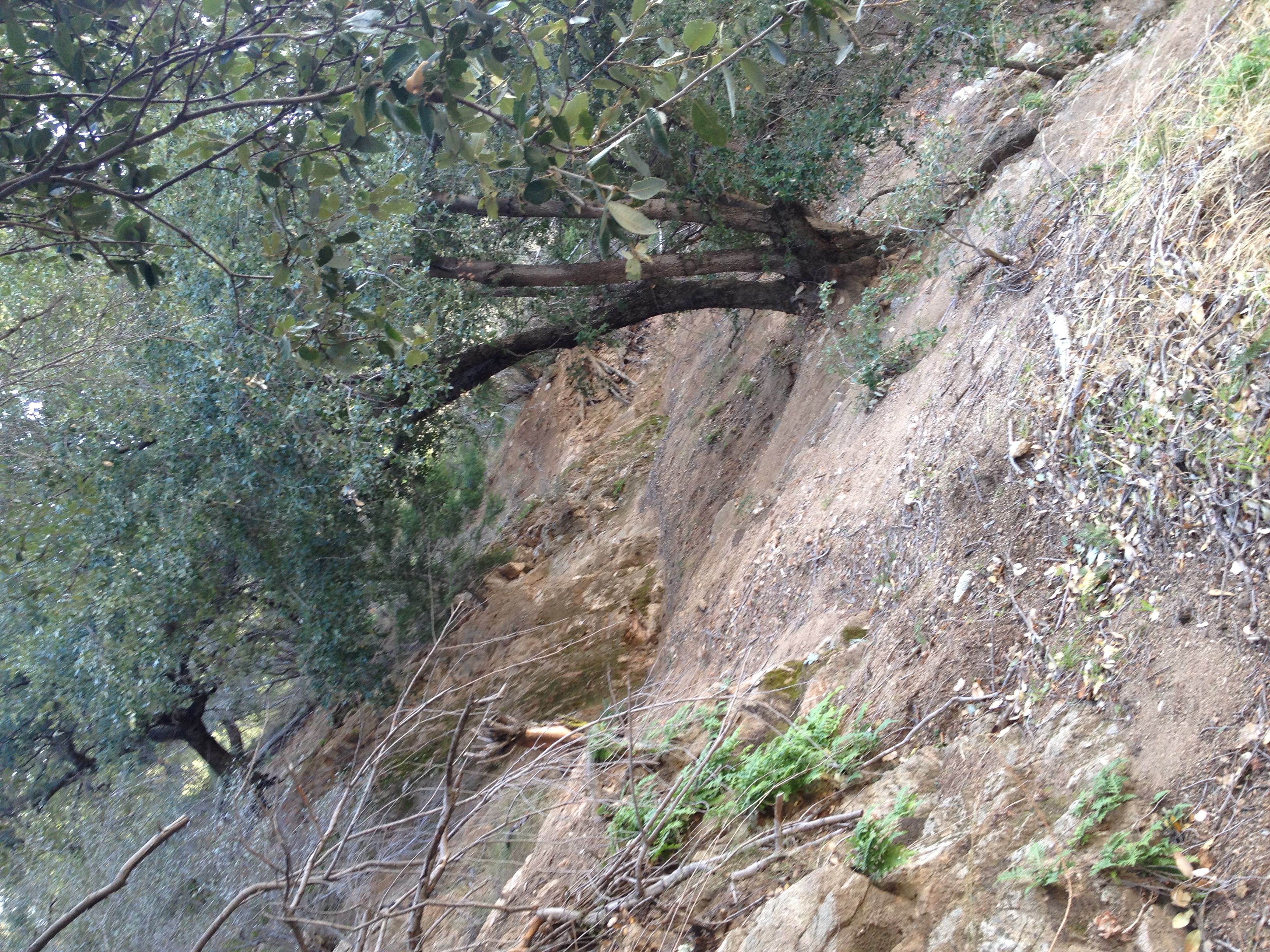
Heading down the backside from the ridge into the San Gabriel Wilderness. I had read that the trail is not maintained from here on out.
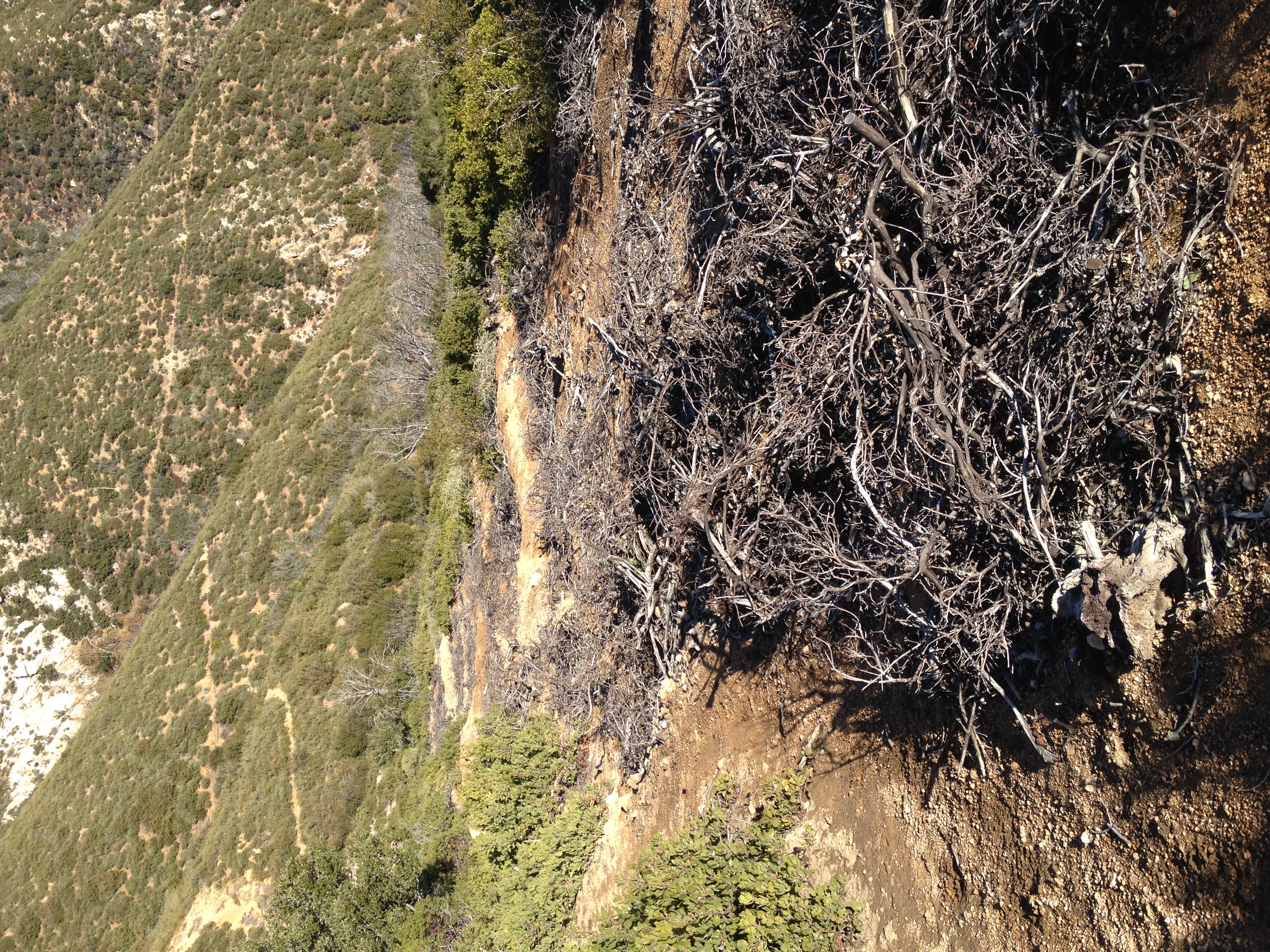
IMG_0261 Almost entirely washed out in places, no more than a foot wide, with a steep drop off. Just my kind of trail!
Almost entirely washed out in places, no more than a foot wide, with a steep drop off. Just my kind of trail!