6/3/16 Another trip up Mt. Baldy, this time via the little known Register Ridge use trail. With one section of more than 2,600' in just 1.5 miles, it's a blast! Together with detours to San Antonio Falls and Mt. Harwood, it makes for an excellent day.
1 
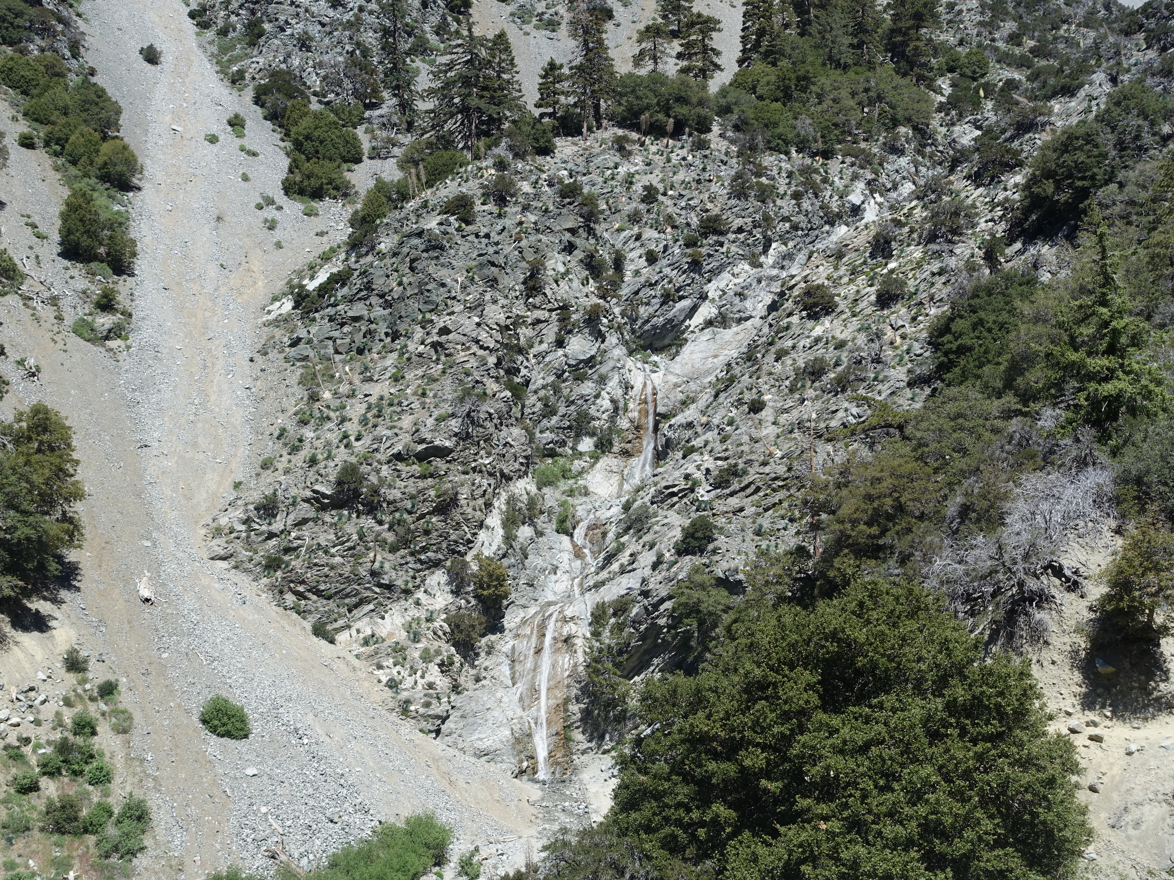
Heading up the service road to the trailhead from Manker Flats. Here's the first view of San Antonio Falls. It can actually get pretty big during the peak season of a wet year.
2 
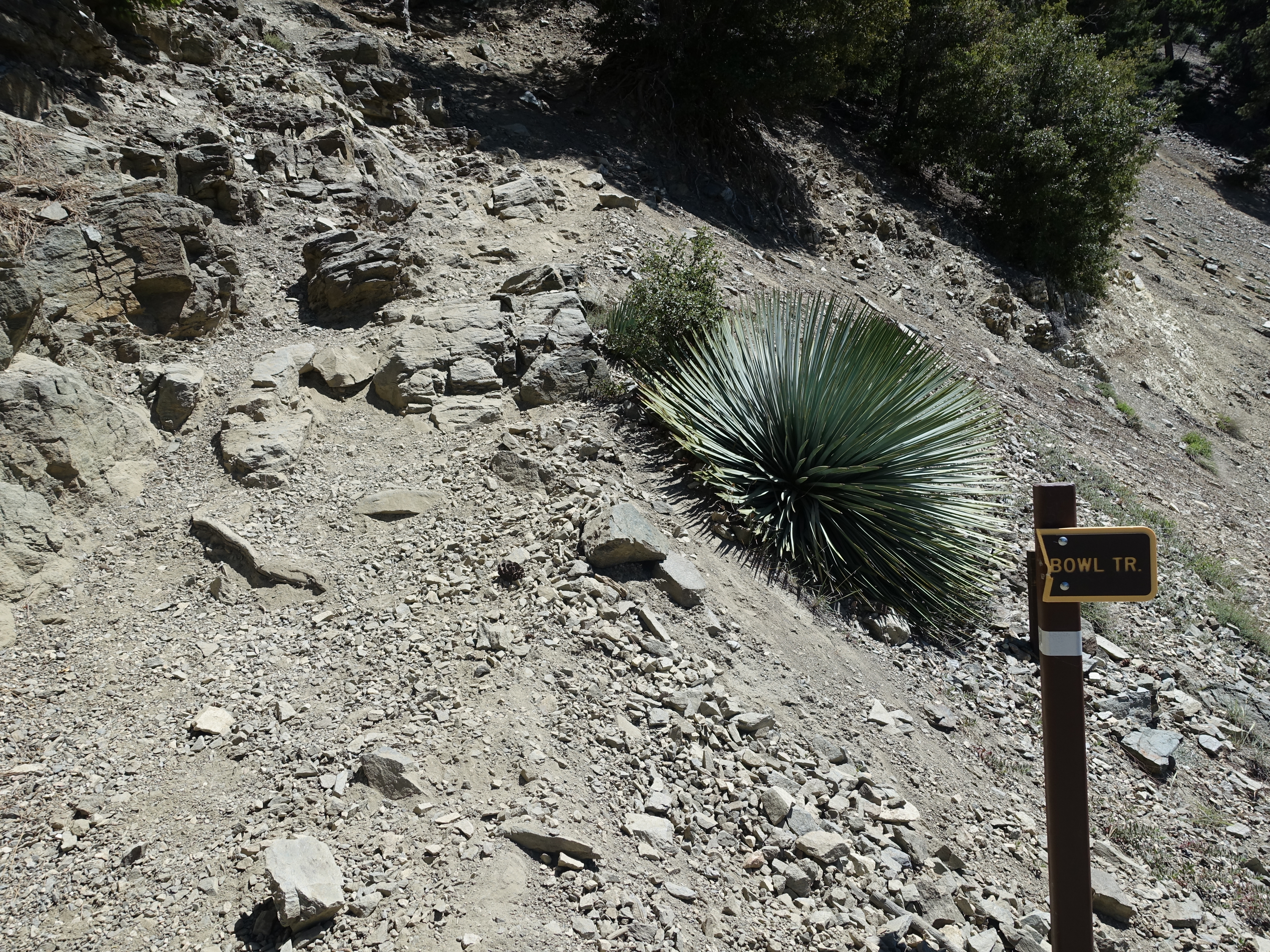
Heading-up the not very well marked Baldy Bowl trail. It gets much less traffic than the Backbone route from the ski resort.
3 
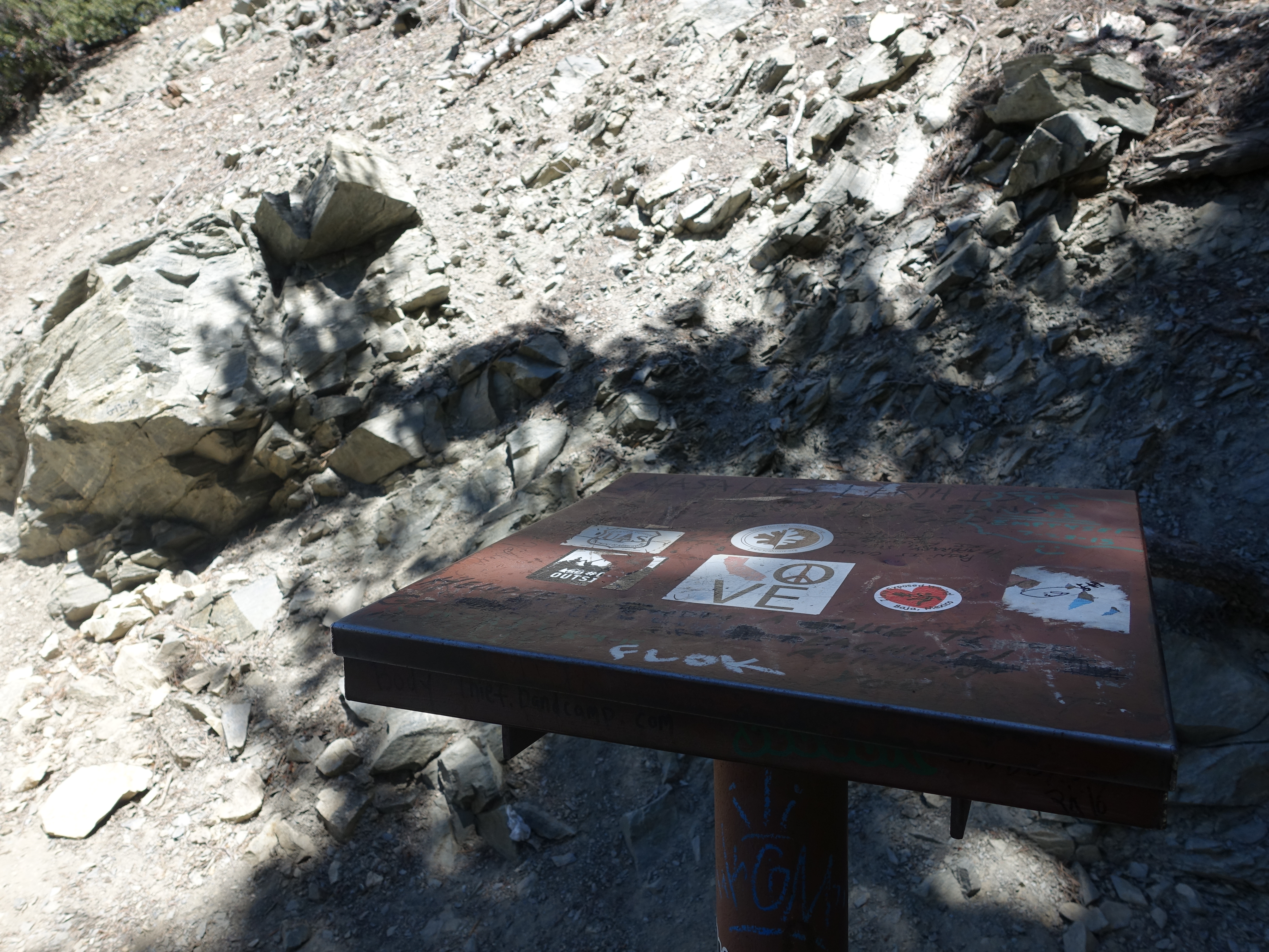
The no longer used register box just in from the trailhead, which is the namesake for the Register Ridge route.
4 
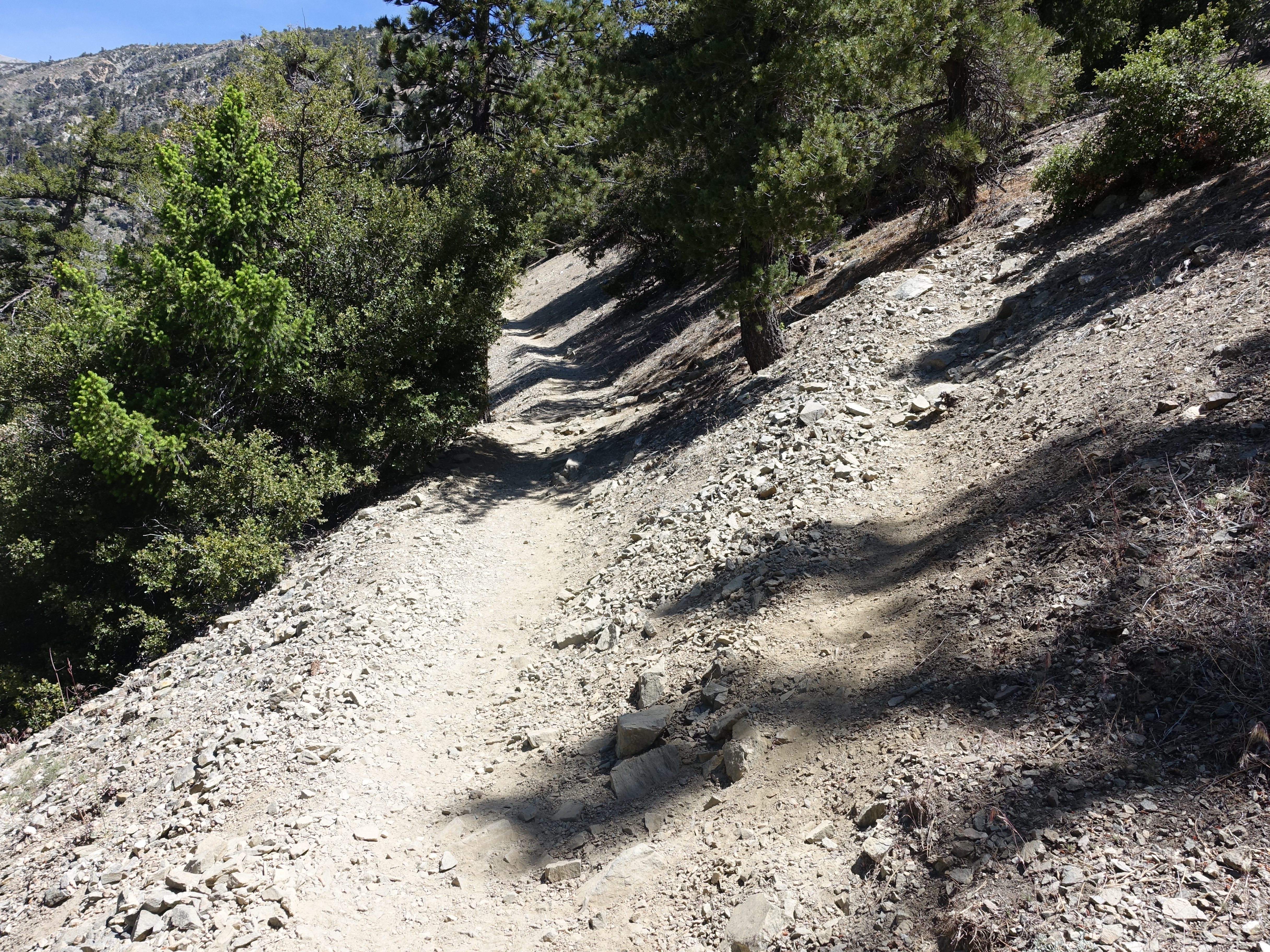
The start of the Register Ridge route branching off to the right. Years ago it was a word-of-mouth trail only marked by trail ducks. Today it's a well worn use trail easily followable the entire way. But it's still not on the maps and rarely more than a foot wide. It gets probably 0.1% of the traffic that the crowded routes get, and it's a heck of a lot more fun!
5 
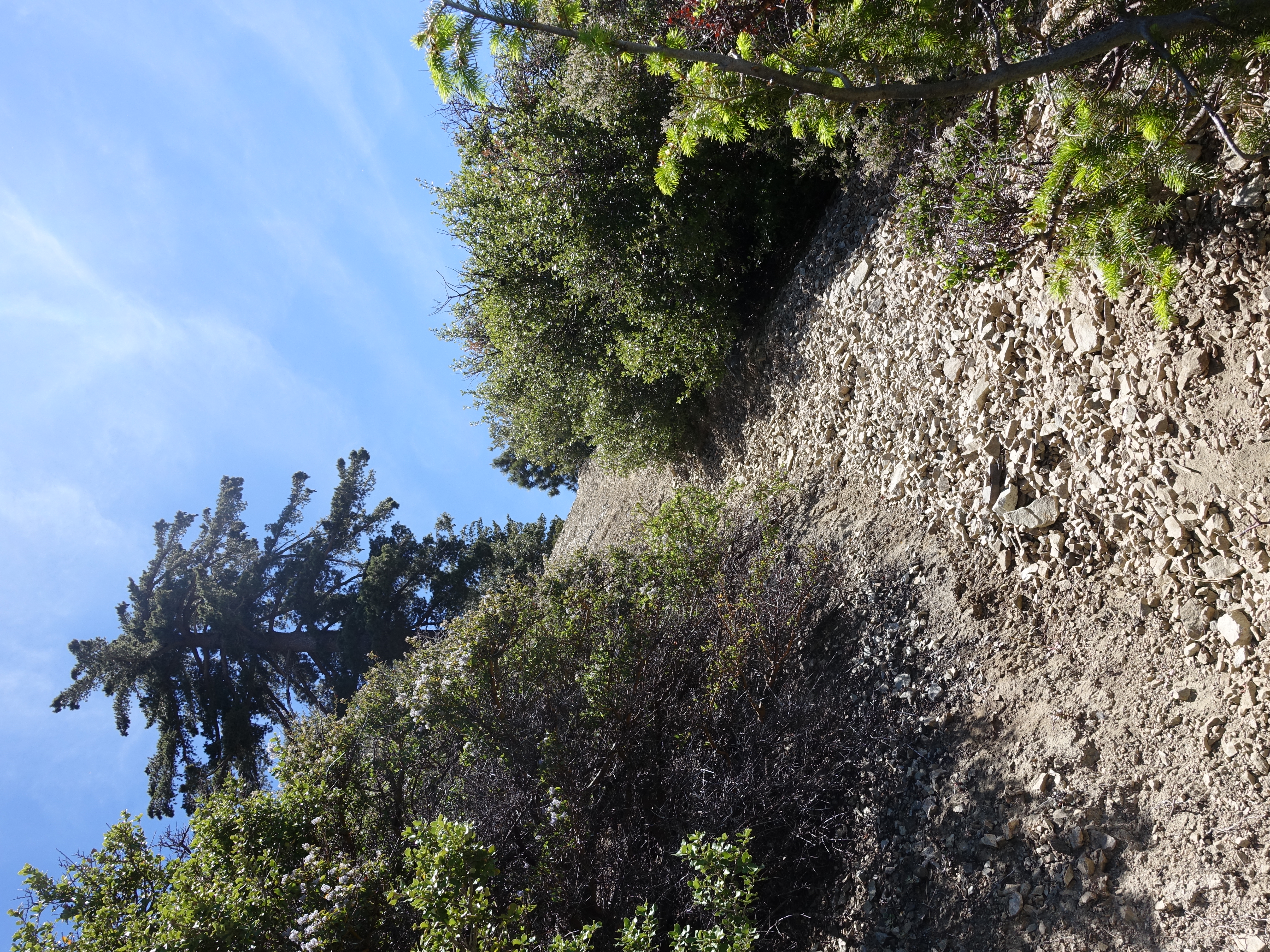
A fairly typical section of trail towards the bottom. Lots of scree surfing on the way down. This section is comparable to Iron Mountain. But because of the shorter overall distance and gain (11 miles, 4,100'), I would definitely rank it behind Iron and C2C.
6 
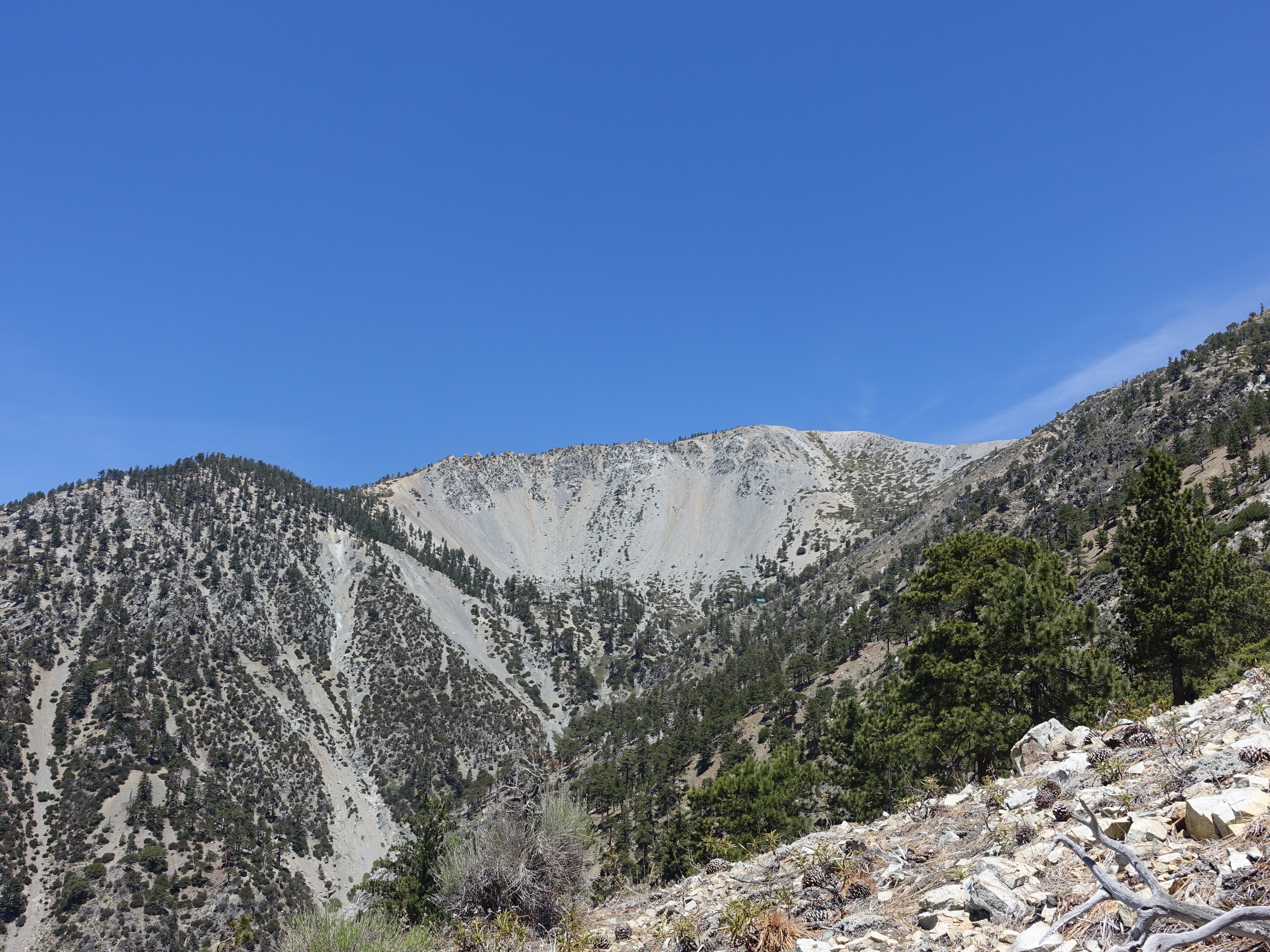
Awesome views of Baldy Bowl. You can also see the famous Ski Hut right around the middle of the photo.
7 
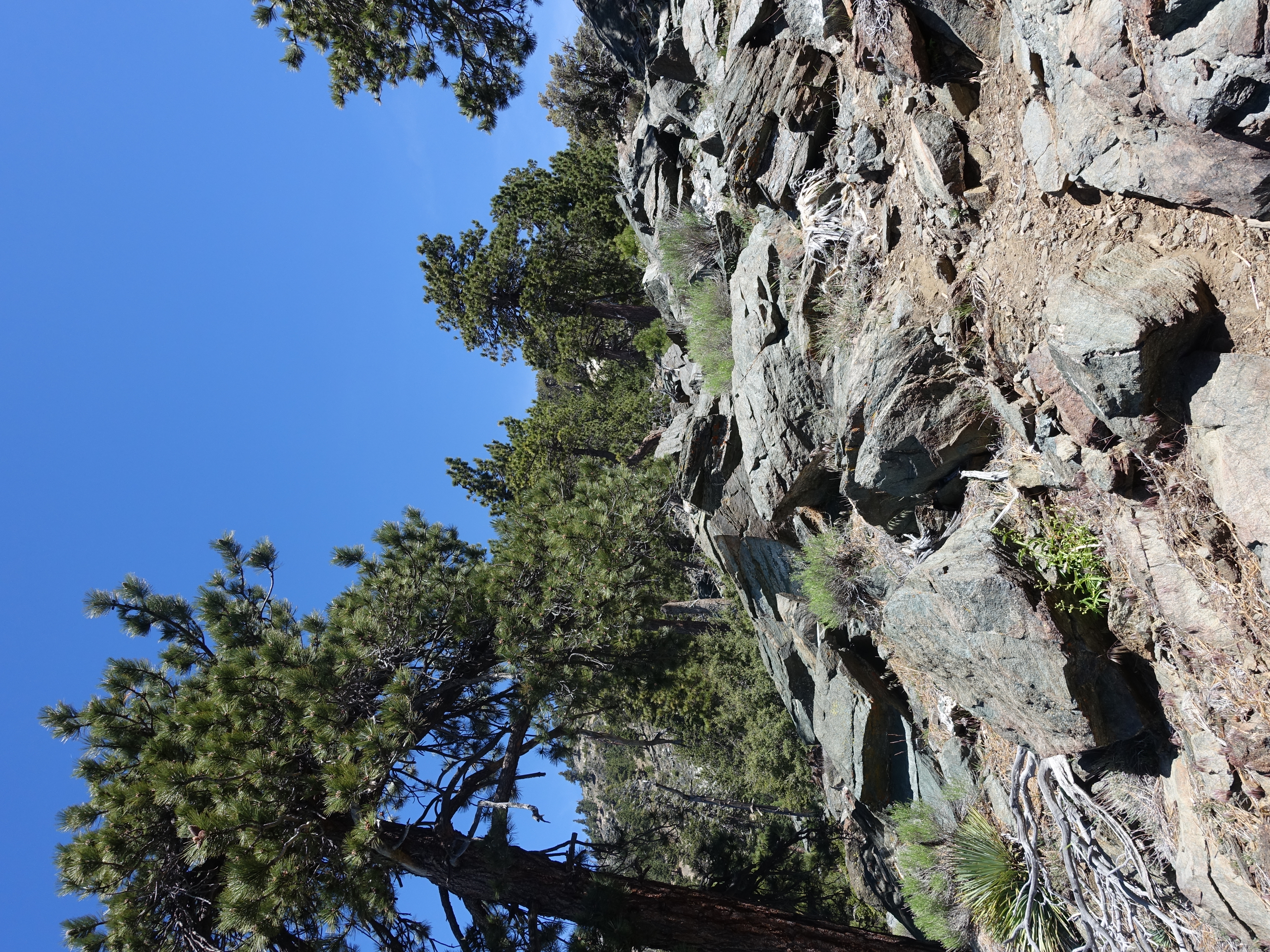
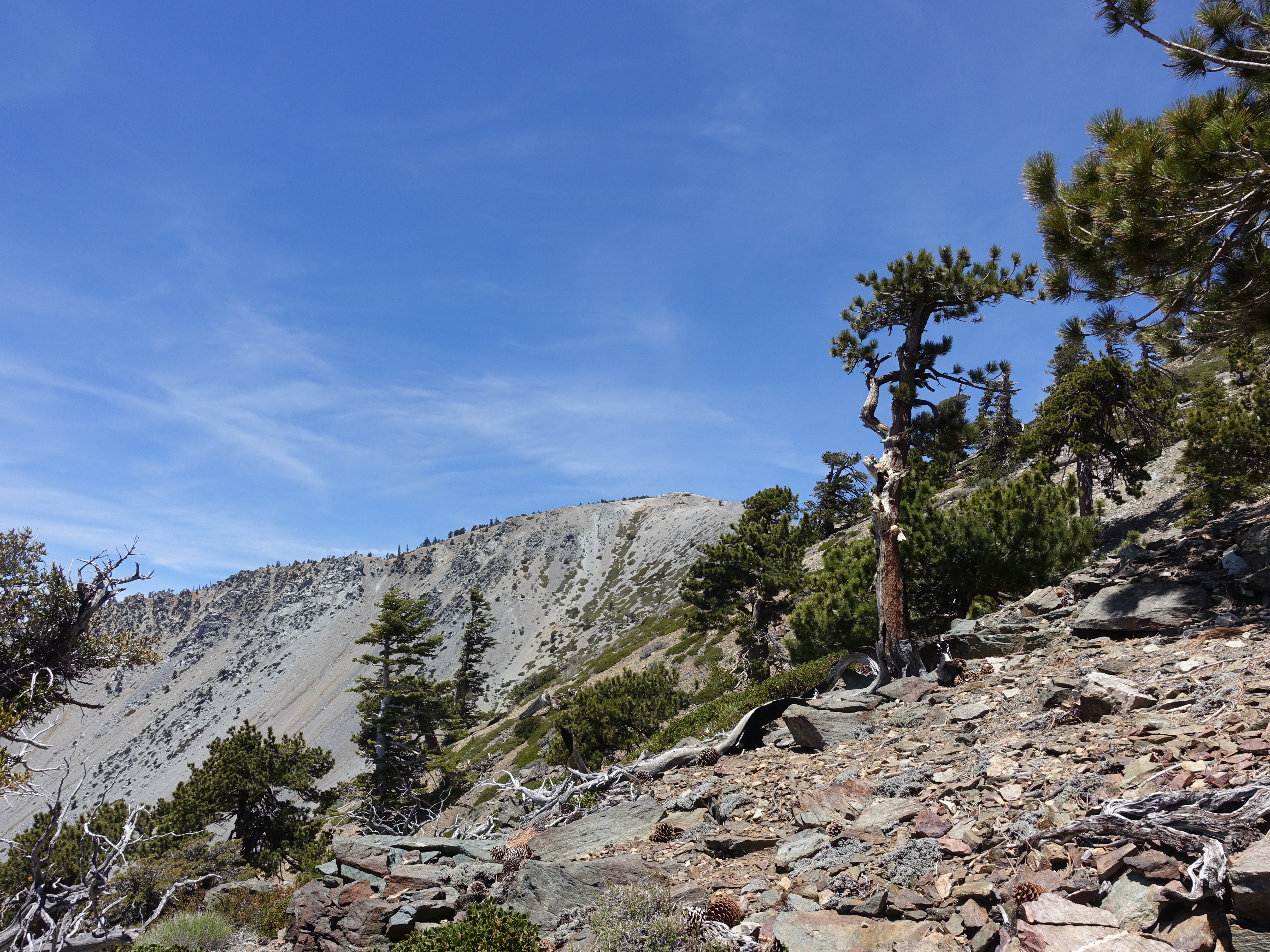
A typical section of "trail" higher up the ridge.
8 
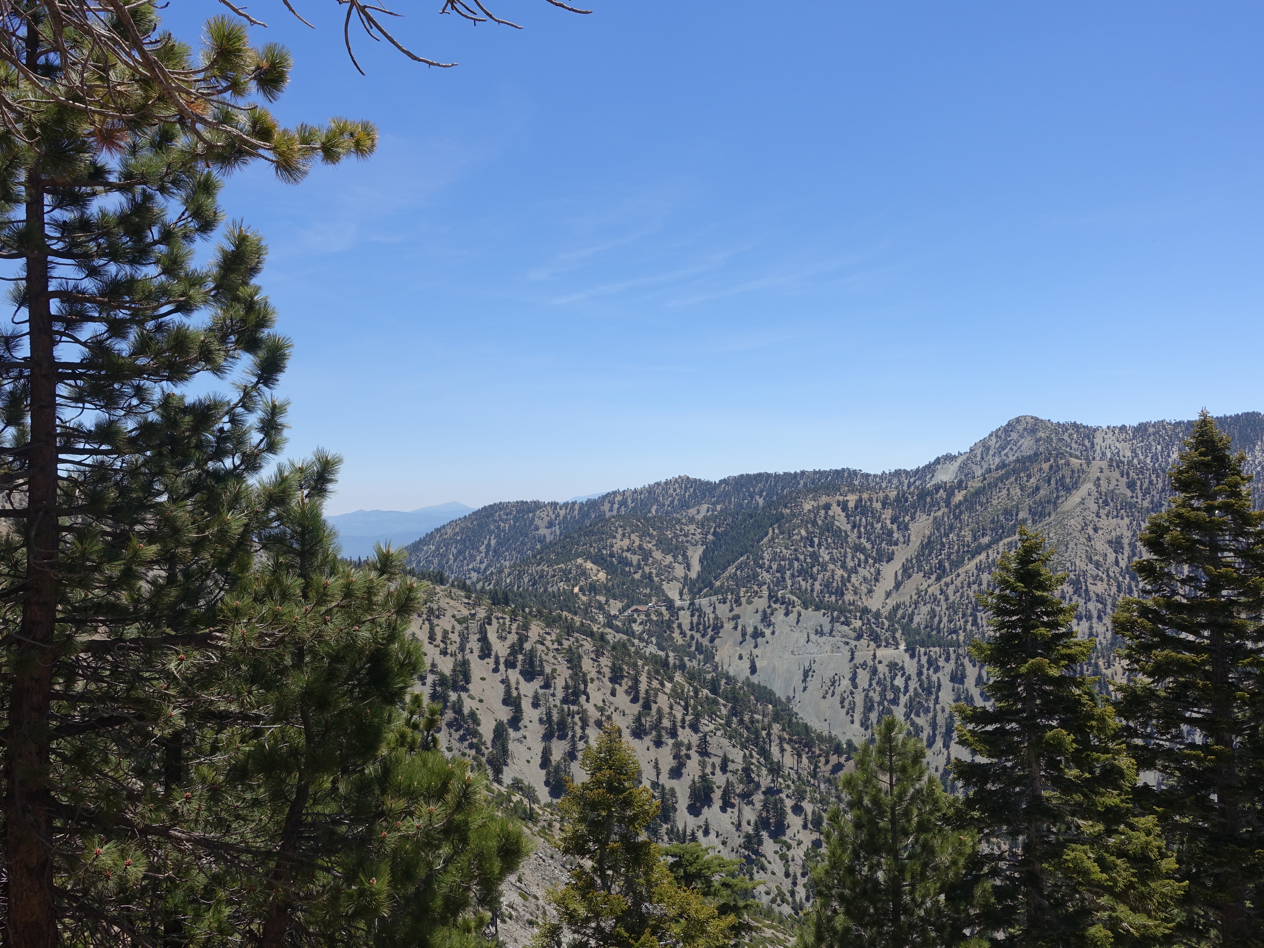
A look down at Baldy Notch. You can barely see the small lodge at the top of the ski lifts.
9 
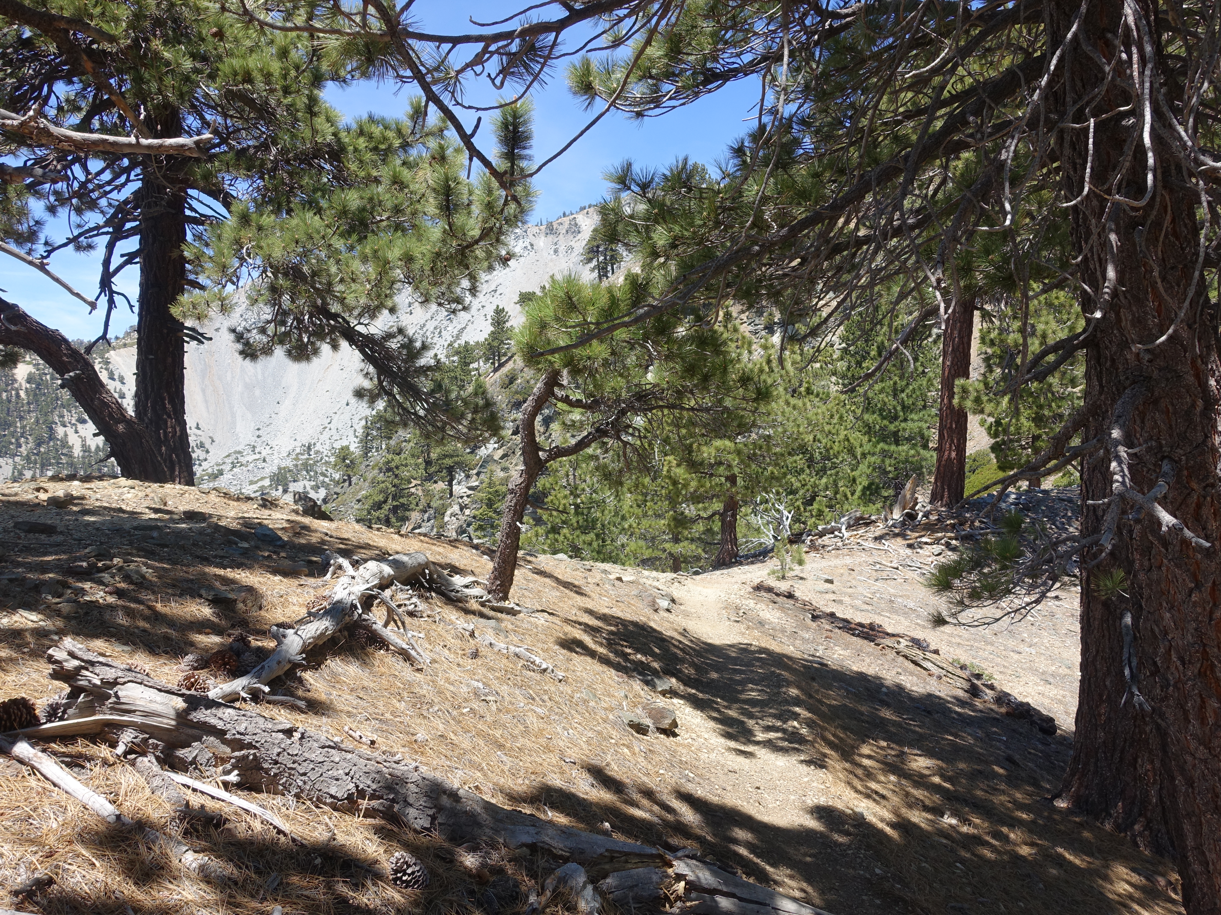
Starting to get into some tree cover higher up the ridge.
10 
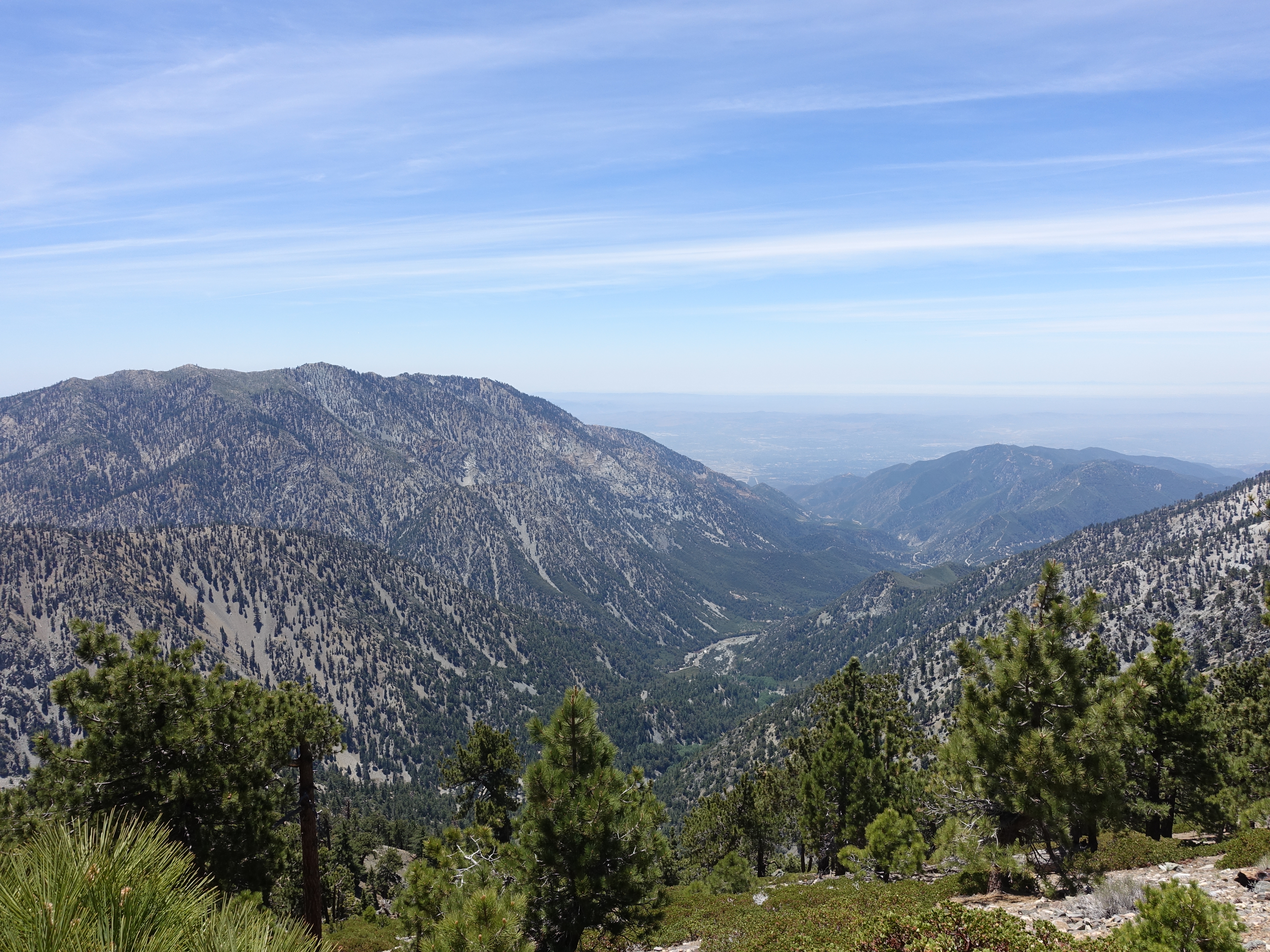
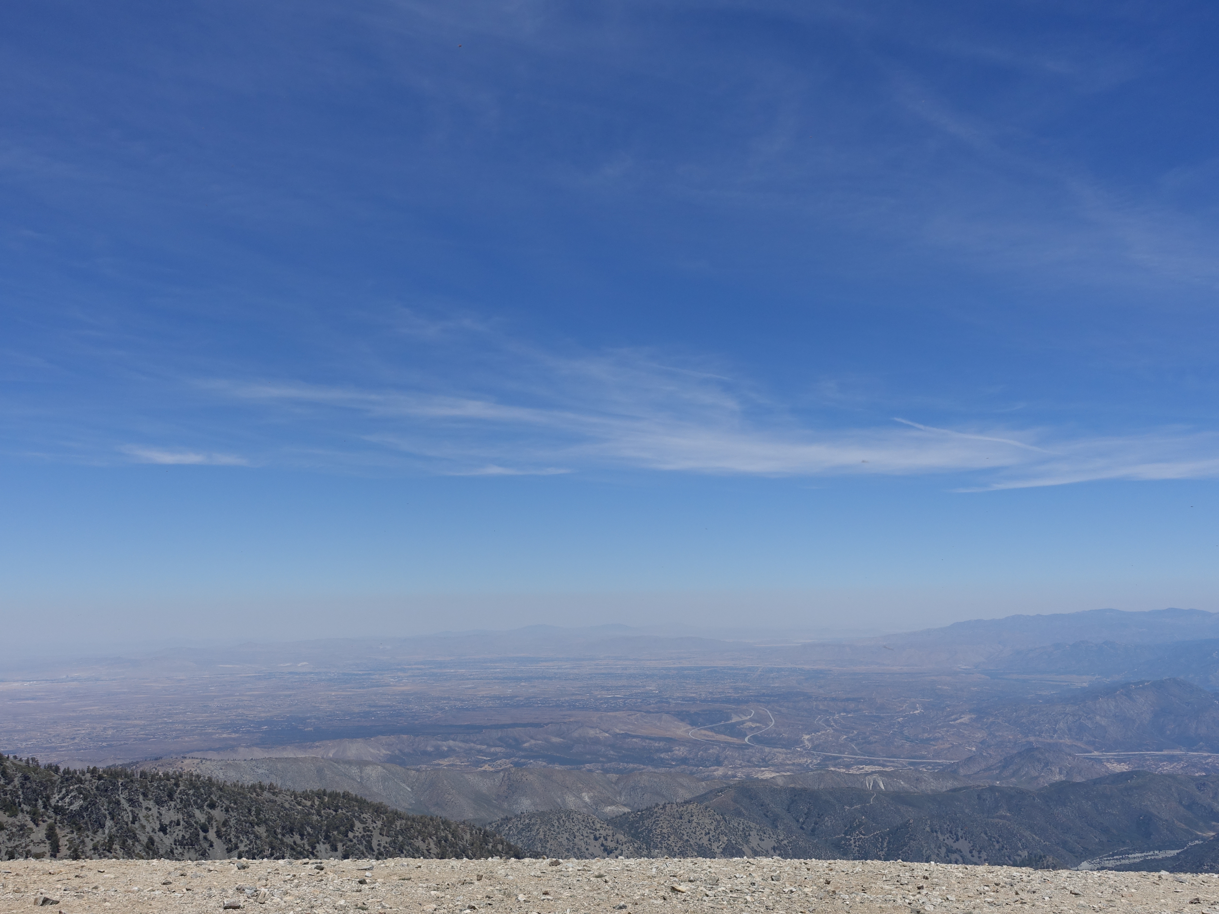
Beautiful views down the valley and all the way out to the ocean.
11 
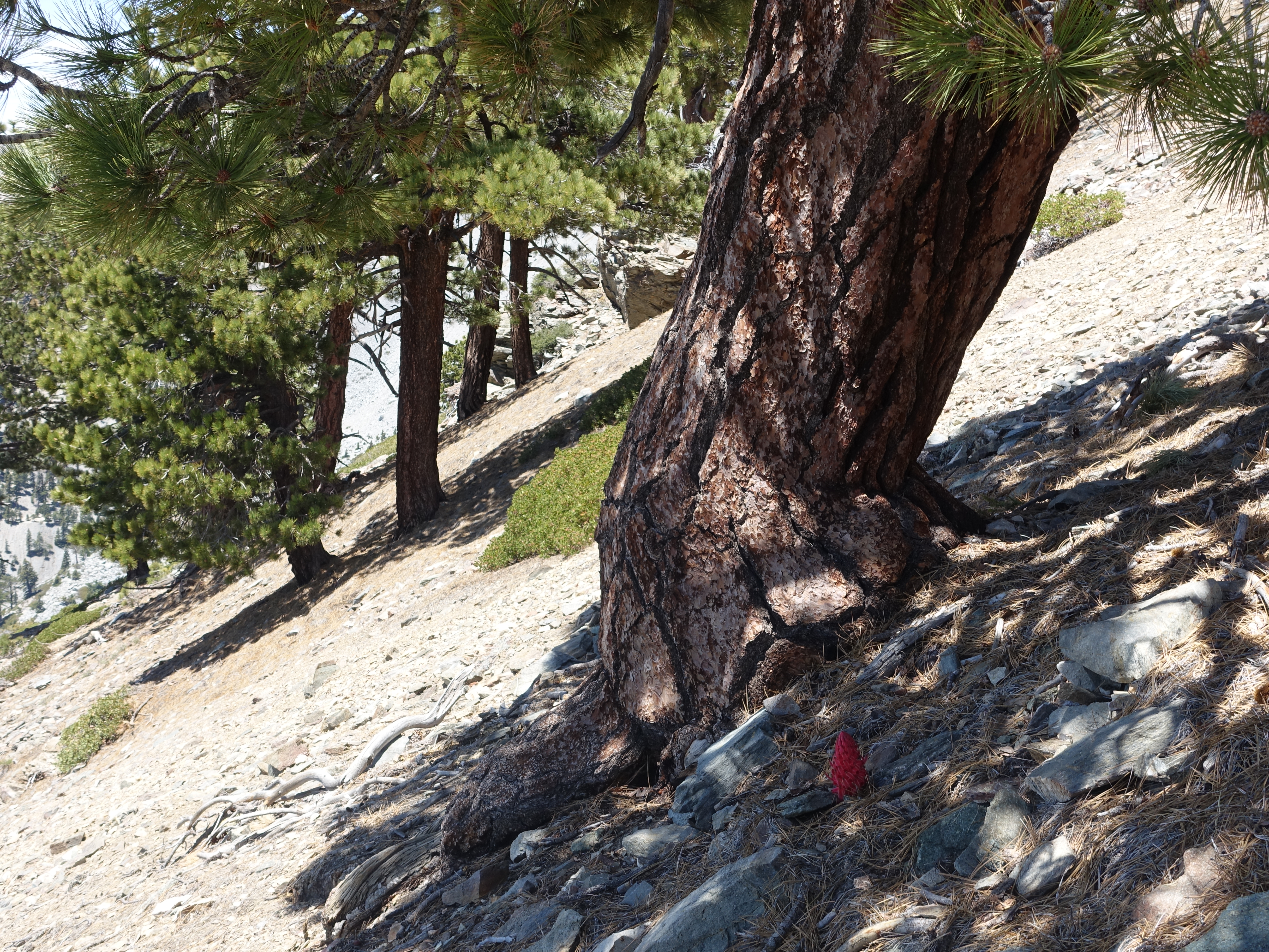
One of the last snowplants of the season in a shady area along the steep ridge.
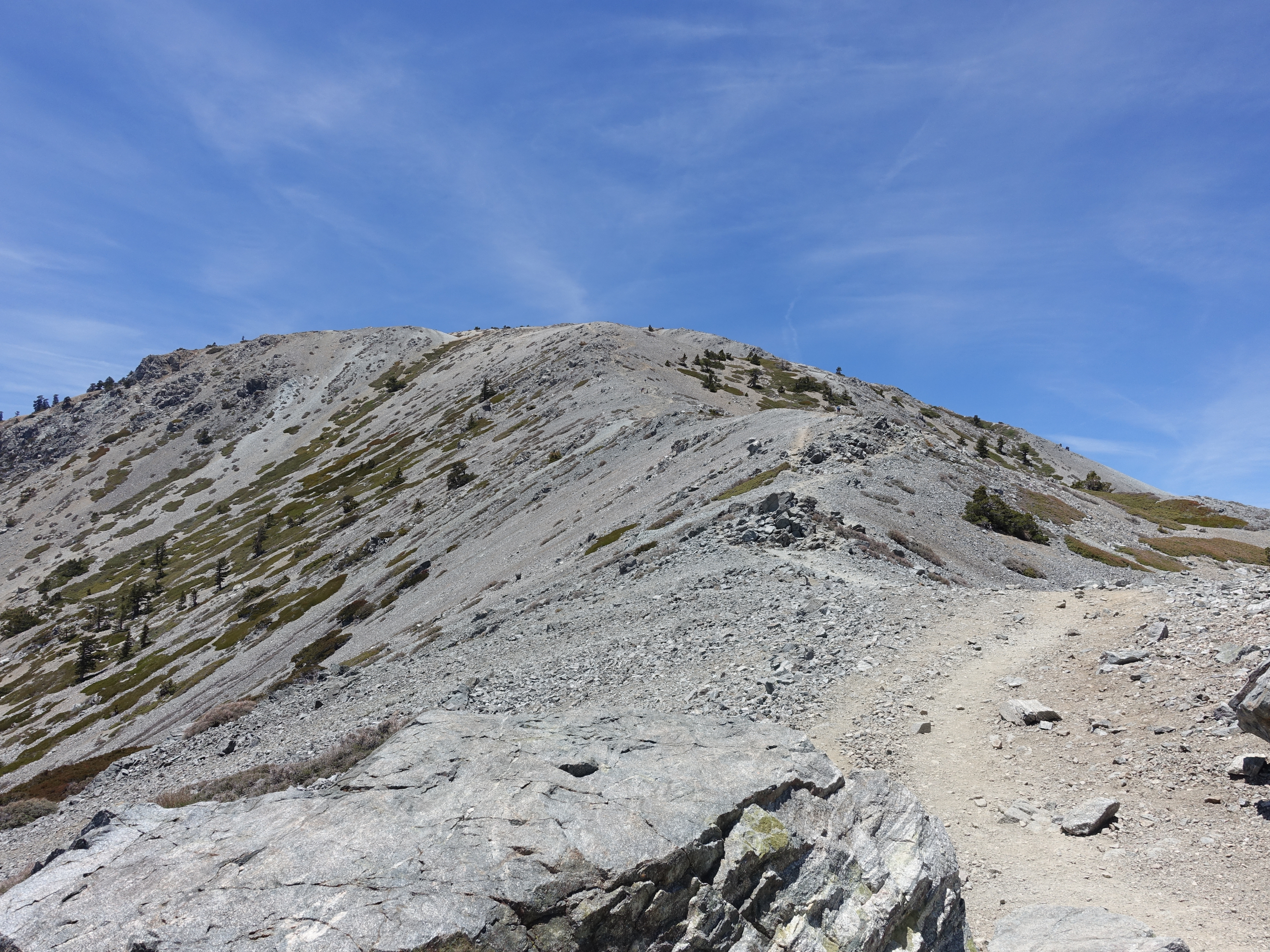
12 Almost there...
13 Made it to the intersection with the Devil's Backbone trail, which is the route the vast majority of people take up from the ski resort. The Register Ridge route is much, much steeper but cuts a few miles off the distance each way.
14 
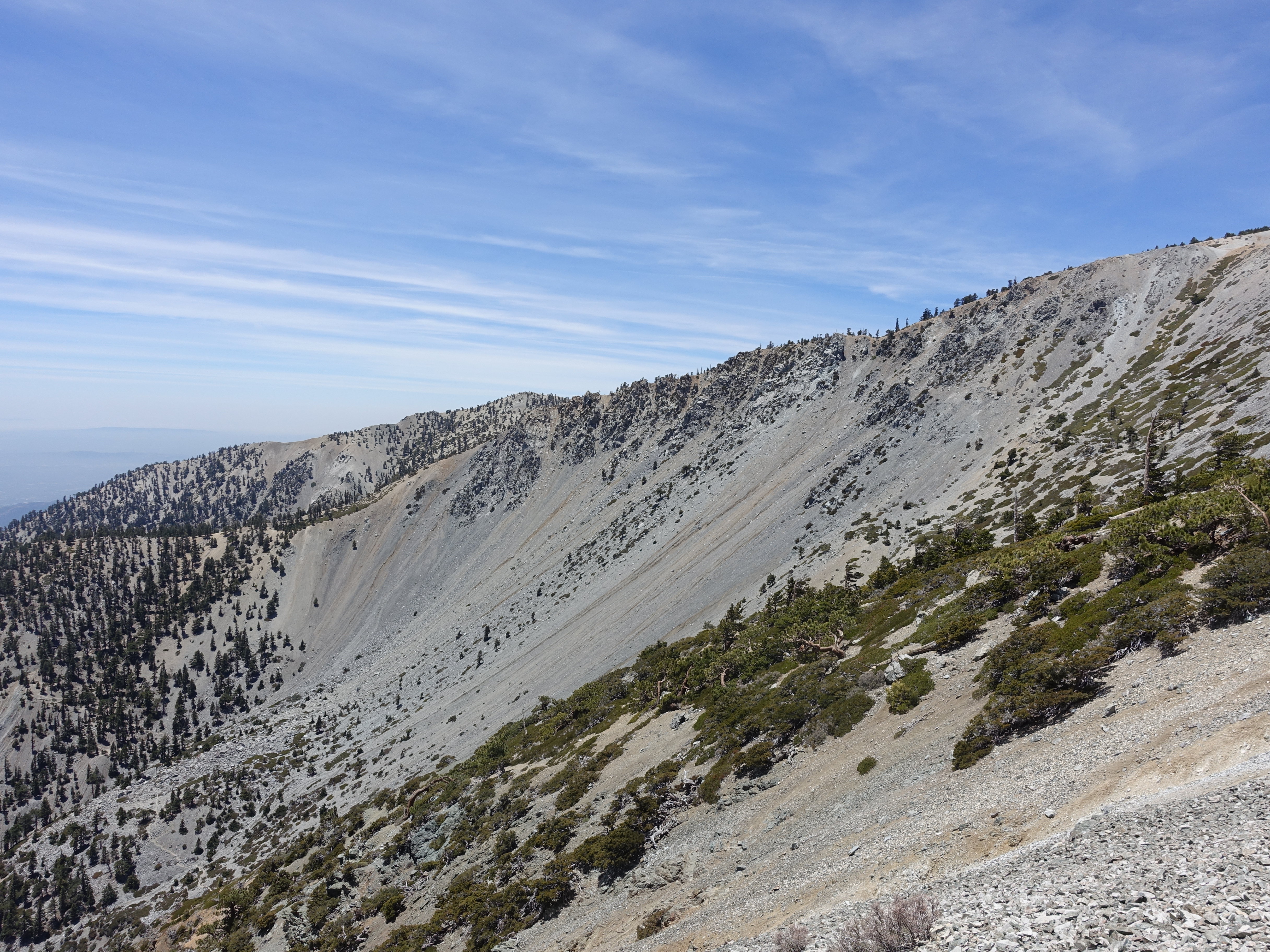
A great look at Baldy Bowl. This is a very popular mountaineering route in the winter. Ice axe and crampons straight up the bowl and then glissade all the way down. It's also where a couple people died last winter. I haven't got up the nerve to try it yet.
15 
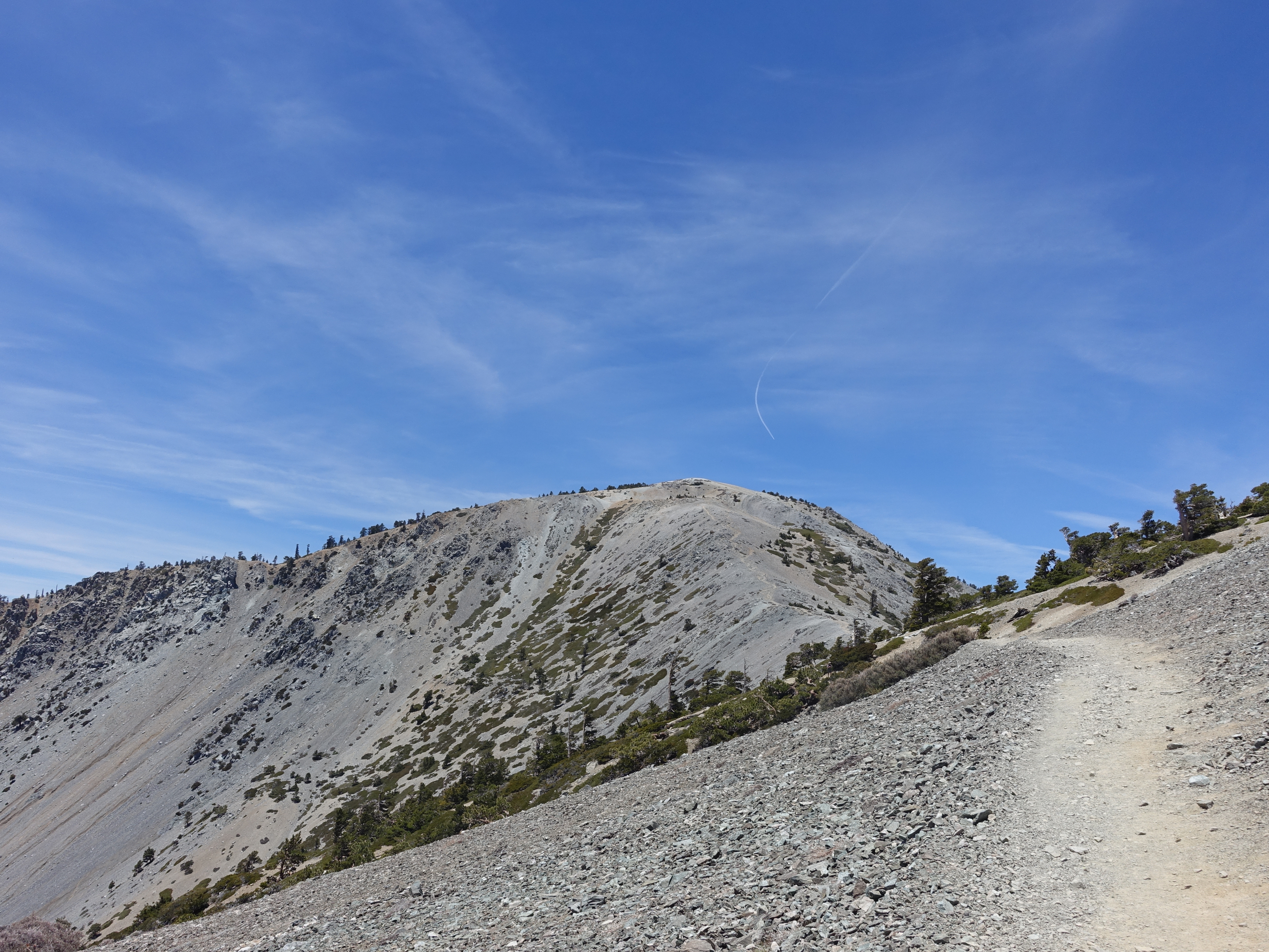
Last of the Backbone trail to the top.
16 
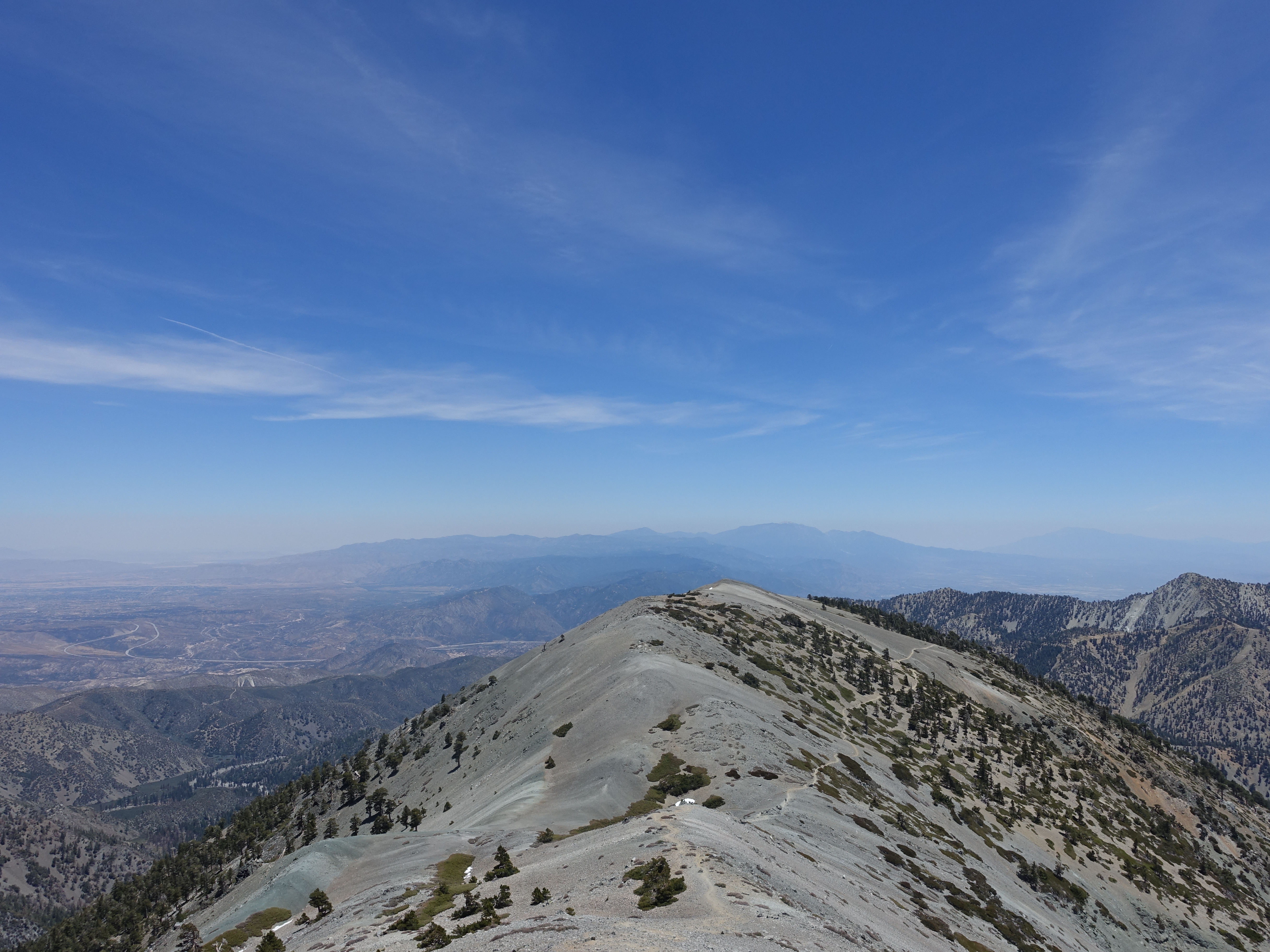
Almost to the top, looking back across Mt. Harwood and out towards San Gorgonio.
17 
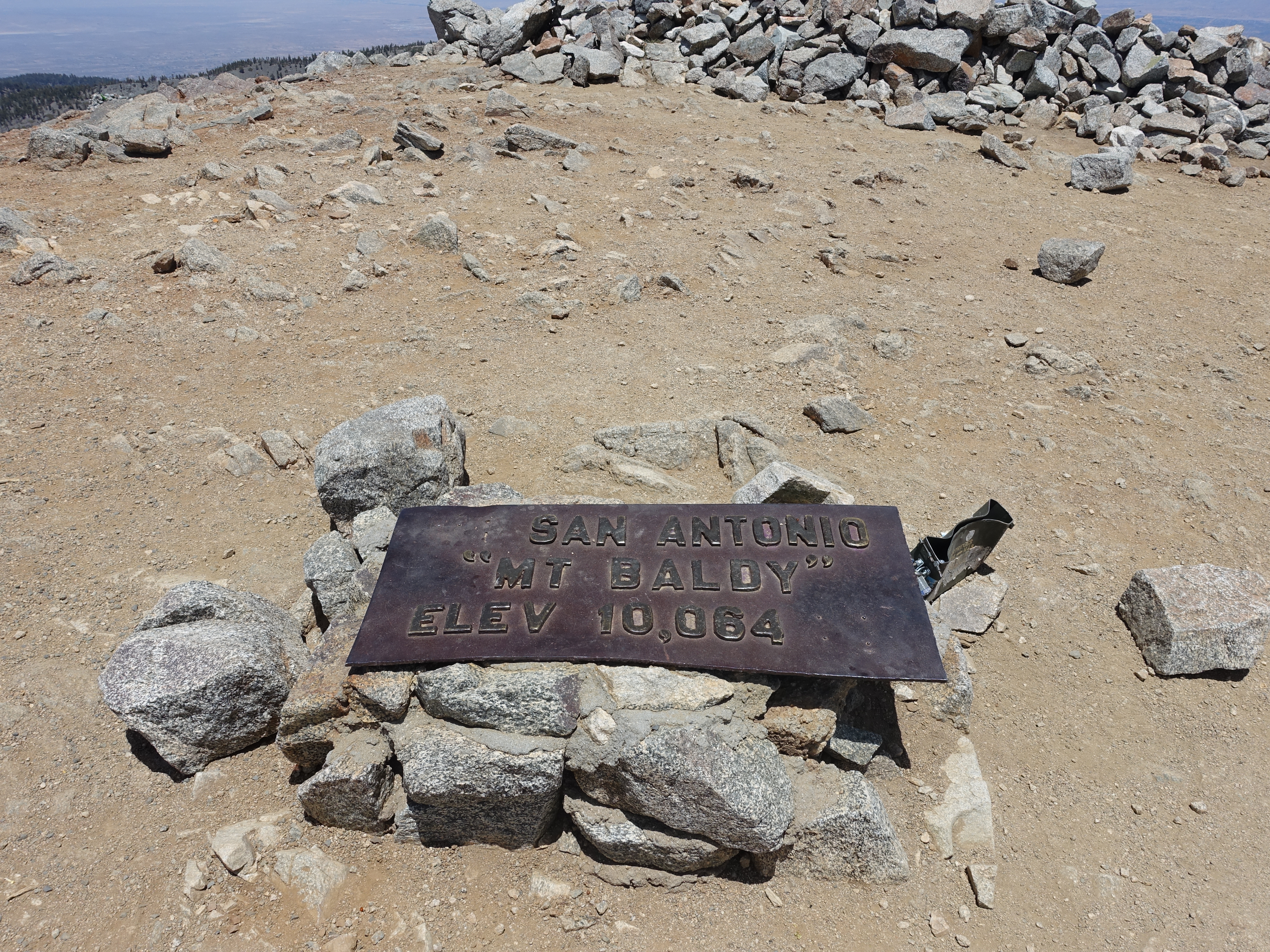
Made it! Been here many times, but always still gratifying.
18 
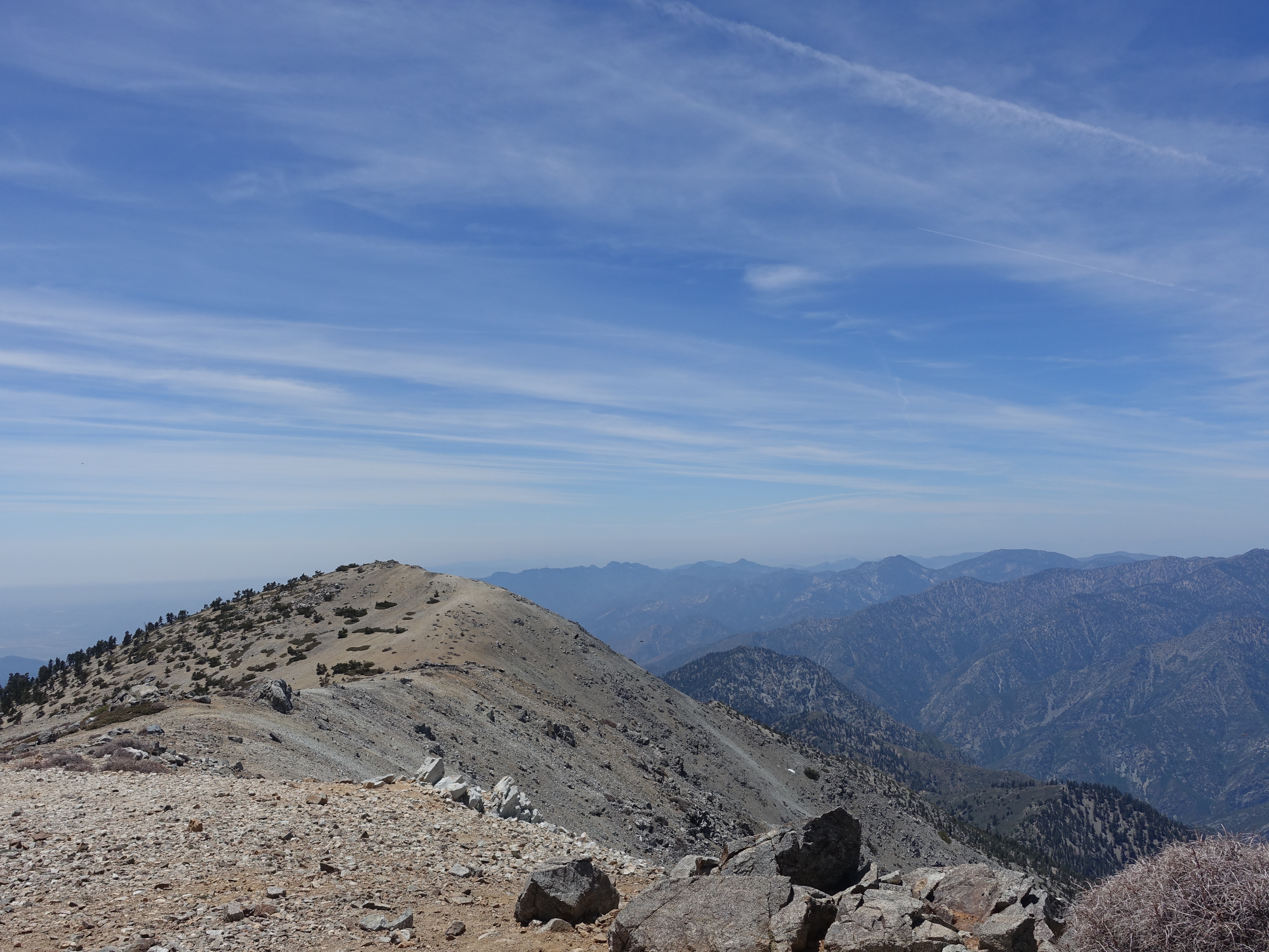
Summit photo looking out towards Mt. Baden-Powell.
19 More summit pics.
20 West Baldy.
21 Obligatory summit 360.
22 Heading back down now, I decide to take a quick detour up neighboring Mt. Harwood. There's just a couple last patches of snow here in early June.
23 Weather station near the Mt. Harwood summit.
24 On the Mt. Harwood summit at 9,556' looking back up at Mt. Baldy.
25 Looking out towards San Gorgonio and San Jancinto from atop Mt. Harwood.
26 Mt. Harwood summit video.
27 Getting ready to head back down the Register Ridge trail. Hopefully most people never explore what's on the other side of the rock line!
28 On the way up, you don't really realize how pronounced the ridge is. It's much more evident on the way back down.
29 Great ridgeline, with dropoffs to either side.
30 Heading down the ridge.
31 About as pointed as a ridge can get.
32 One last view of the valley below.
33 Back down to the service road and the view approaching the falls.
34 A quick detour down to the base of the falls. It's the first time I've ever been here, and it's actually rather picturesque, even in a dry year.
35 One last view of the falls, and the end to another great day in the San Gabriels.