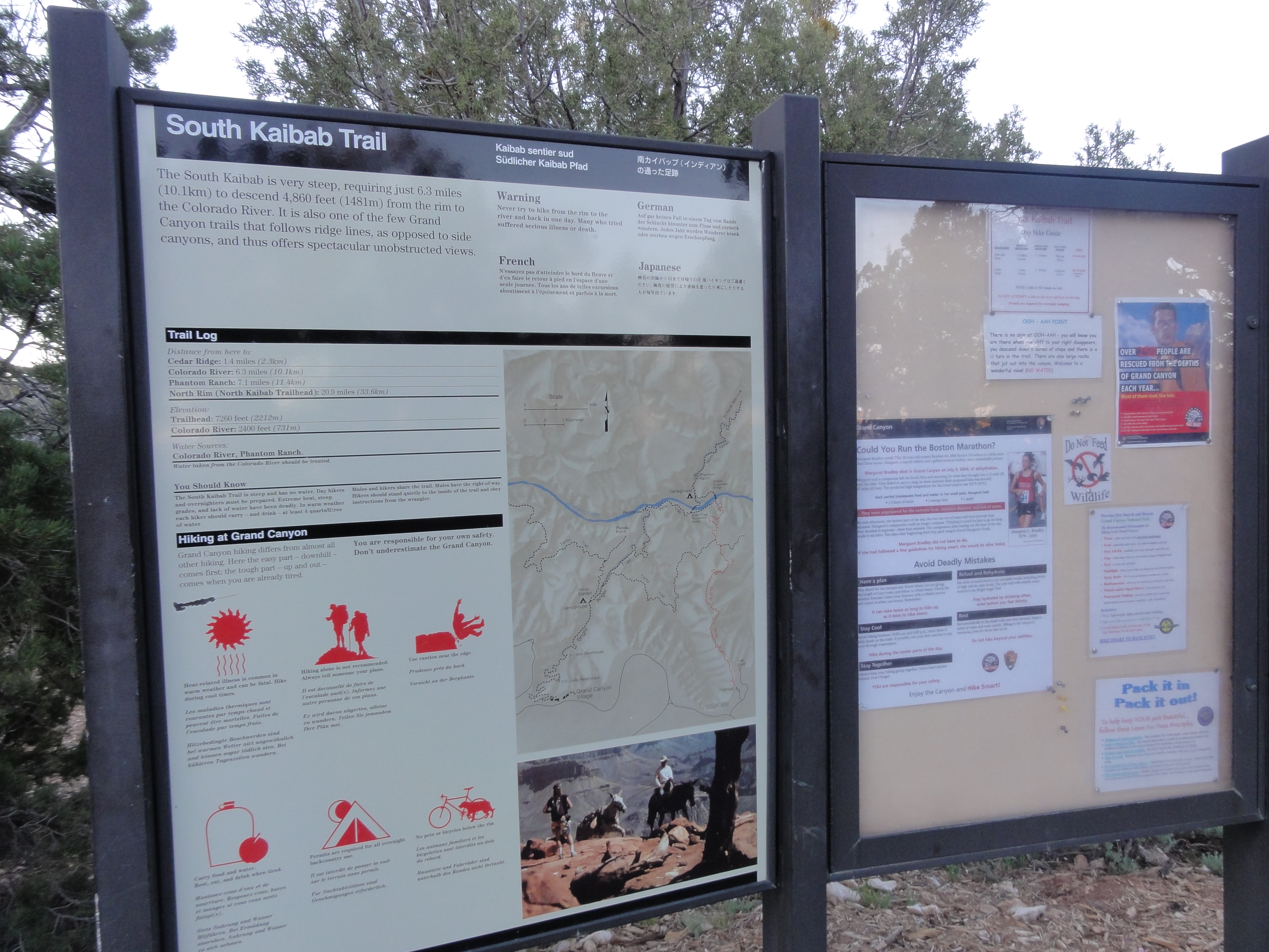
South Kaibab

The run starts on the South Rim at sunrise and heads down to the Colorado River via the South Kaibab trail. This section of trail is roughly 7 miles with over 5000' of elevation drop and has one jaw-dropping vista after another.
DSC00140 We were out of bed about 3:45am, ate breakfast in the room, in the car by 4:30am, and to Bright Angel lodge just in time to catch the 5:00am shuttle to the...
We were out of bed about 3:45am, ate breakfast in the room, in the car by 4:30am, and to Bright Angel lodge just in time to catch the 5:00am shuttle to the…
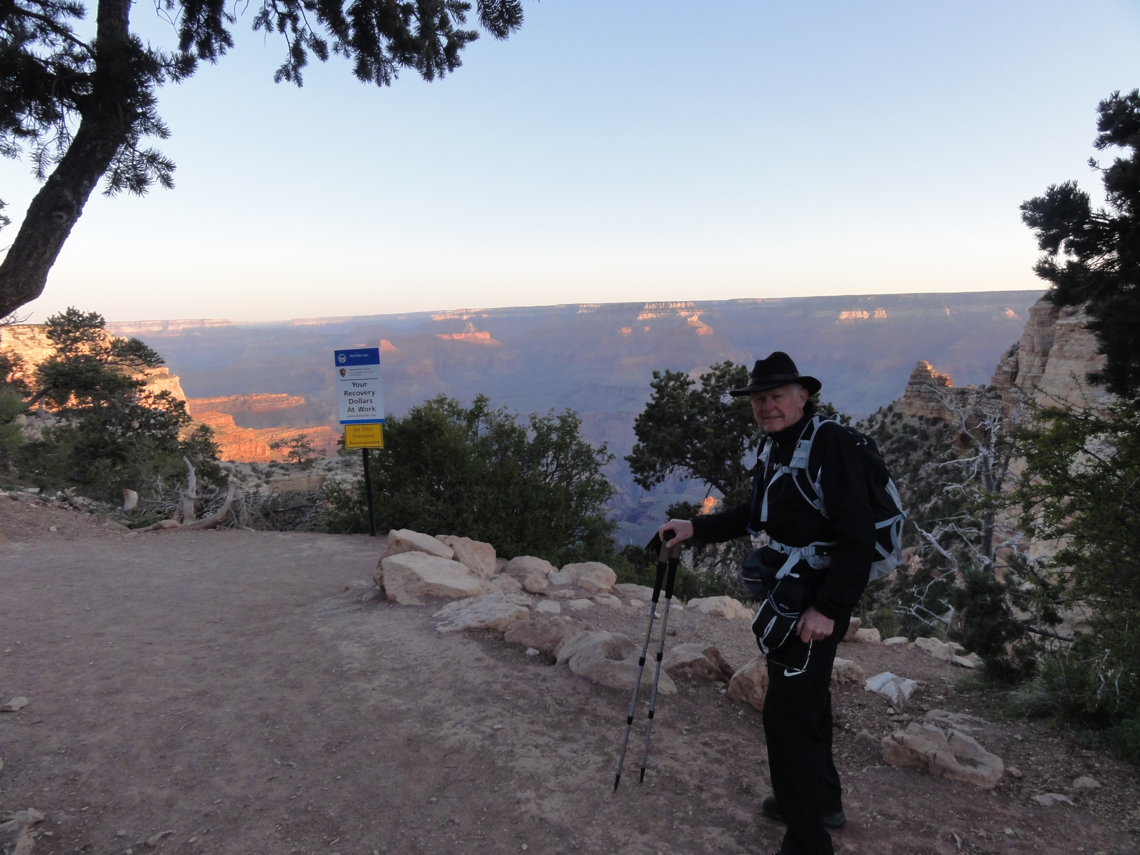
DSC00141 Dad looks ready for his hike down to the river and back.
Dad looks ready for his hike down to the river and back.
051-b I'm not so sure I'm ready for my run to the North Rim and back.
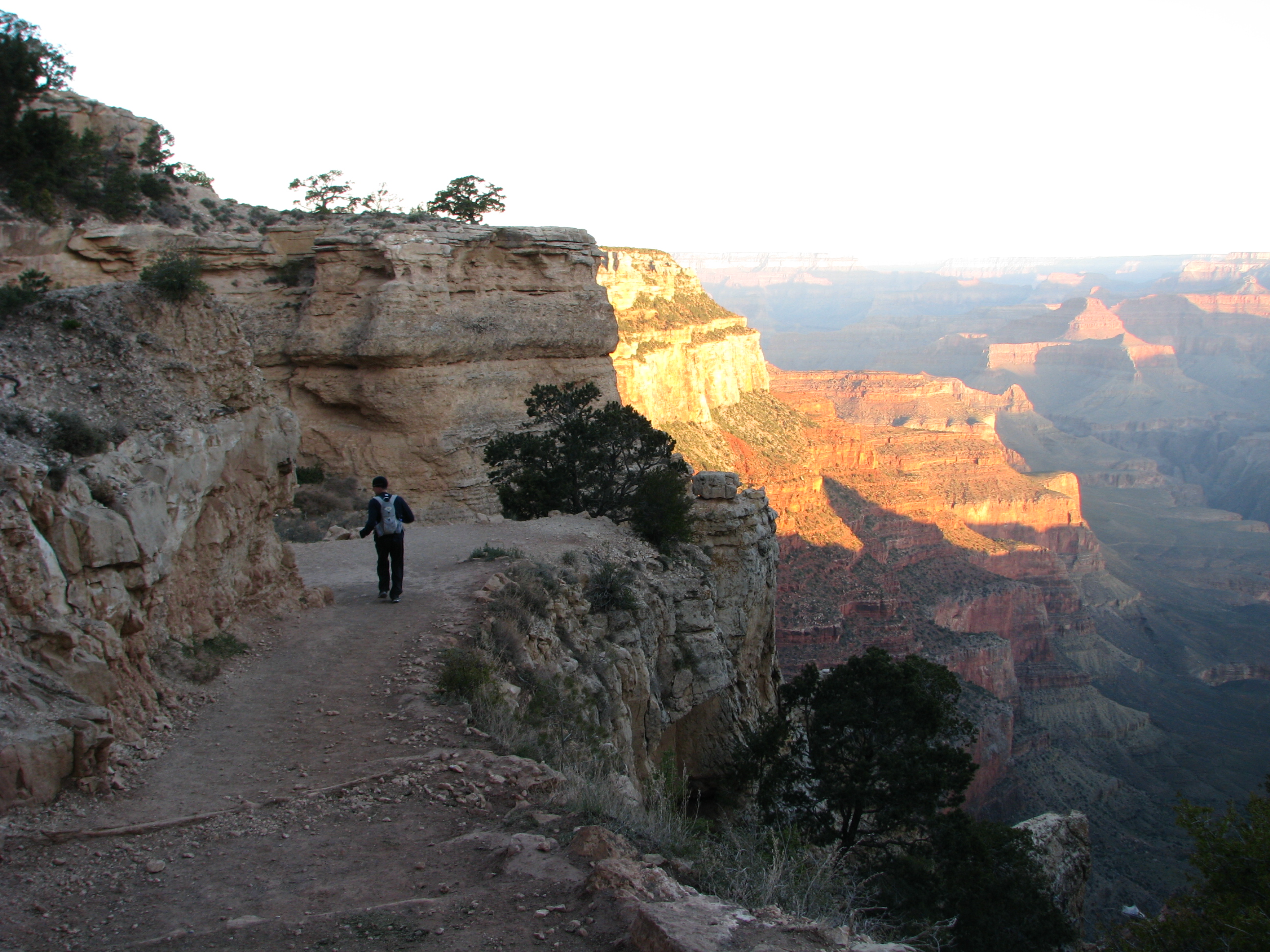
I'm not so sure I'm ready for my run to the North Rim and back.
052-b-a Away I go. It's the last time I see my Dad before I turn the corner and am gone for the rest of the day. Official departure time: 5:53am. While the trail is...
Away I go. It's the last time I see my Dad before I turn the corner and am gone for the rest of the day. Official departure time: 5:53am. While the trail is…
DSC00143 The trail leaves just to the west of Yaki Point and drops fast through the Coconino Sandstone cliffs. This section is known as the Chimney. I'm trying to be...
The trail leaves just to the west of Yaki Point and drops fast through the Coconino Sandstone cliffs. This section is known as the Chimney. I'm trying to be…
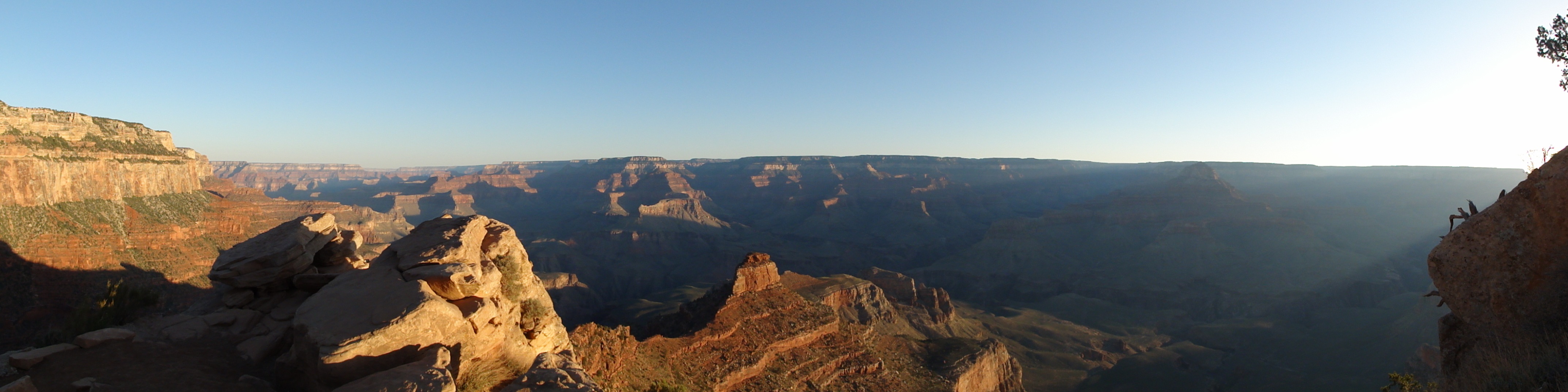
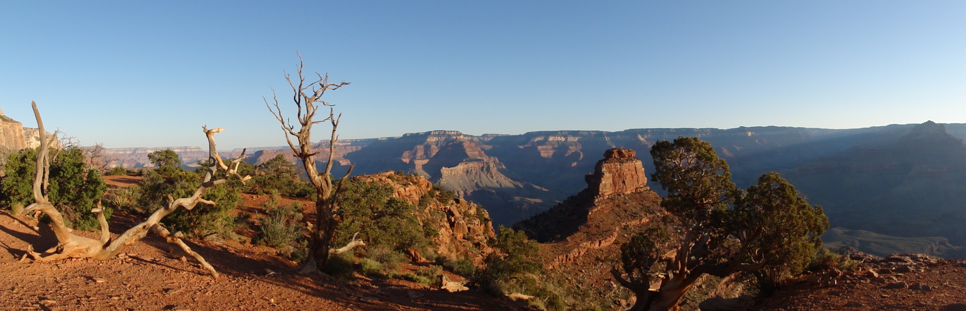
DSC00147 A panaroma from somewhere near the very aptly named Ooh Aah Point. The light of sunrise on the canyon is just amazing. We definitely hit the trail at the...
A panaroma from somewhere near the very aptly named Ooh Aah Point. The light of sunrise on the canyon is just amazing. We definitely hit the trail at the…
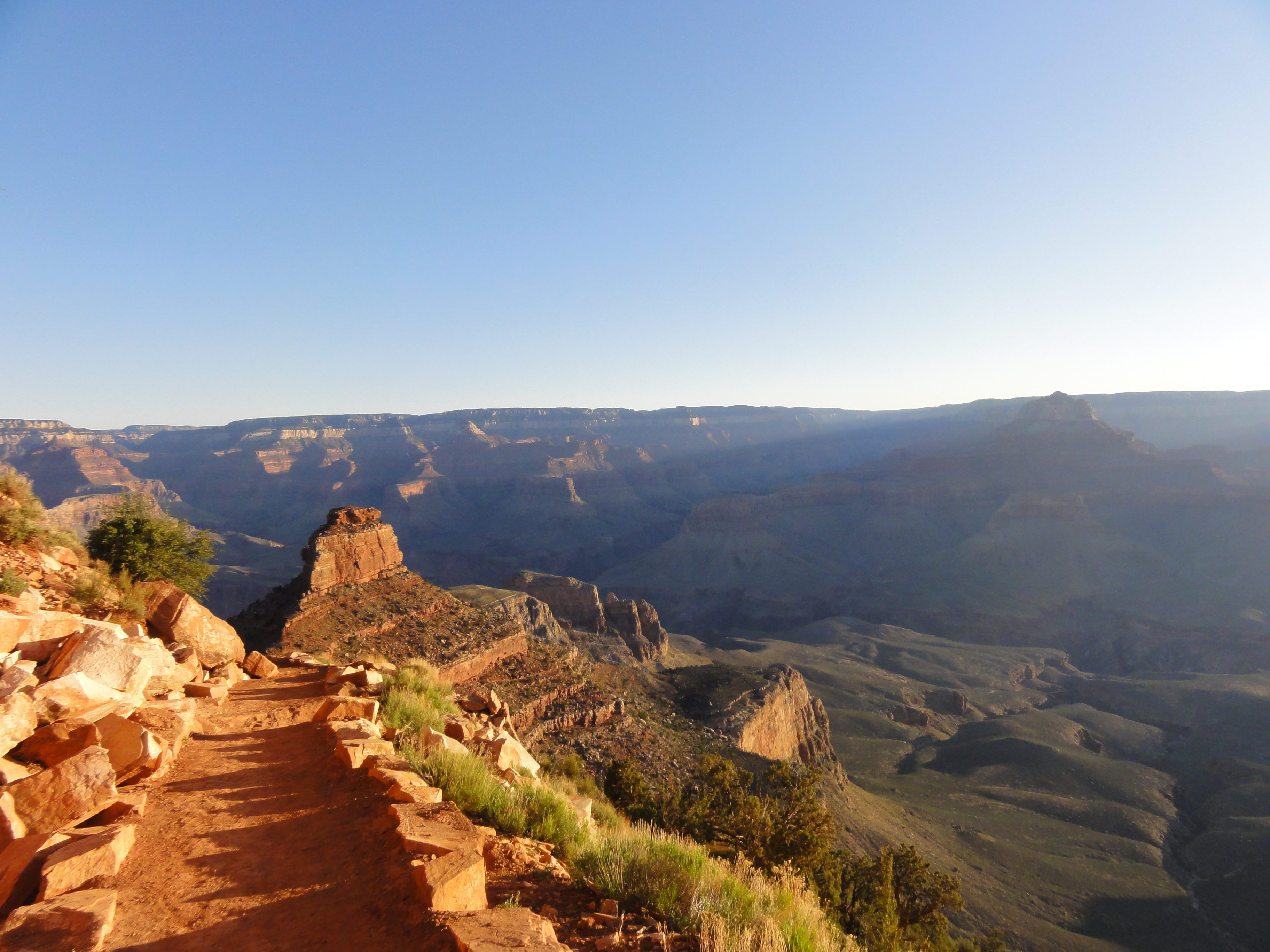
DSC00148 Approaching Cedar Ridge and O'Neill Butte.
Approaching Cedar Ridge and O'Neill Butte.
DSC00151 Made it to Cedar Ridge. 1,140' drop in about 1 1/2 miles.
Made it to Cedar Ridge. 1,140' drop in about 1 1/2 miles.
DSC00153 Leaving Cedar Ridge. View Full Size The GPS on my camera has finally locked-in and all pictures for the rest of the day are geo-tagged. Click the
Leaving Cedar Ridge. View Full Size The GPS on my camera has finally locked-in and all pictures for the rest of the day are geo-tagged. Click the "Map" button…
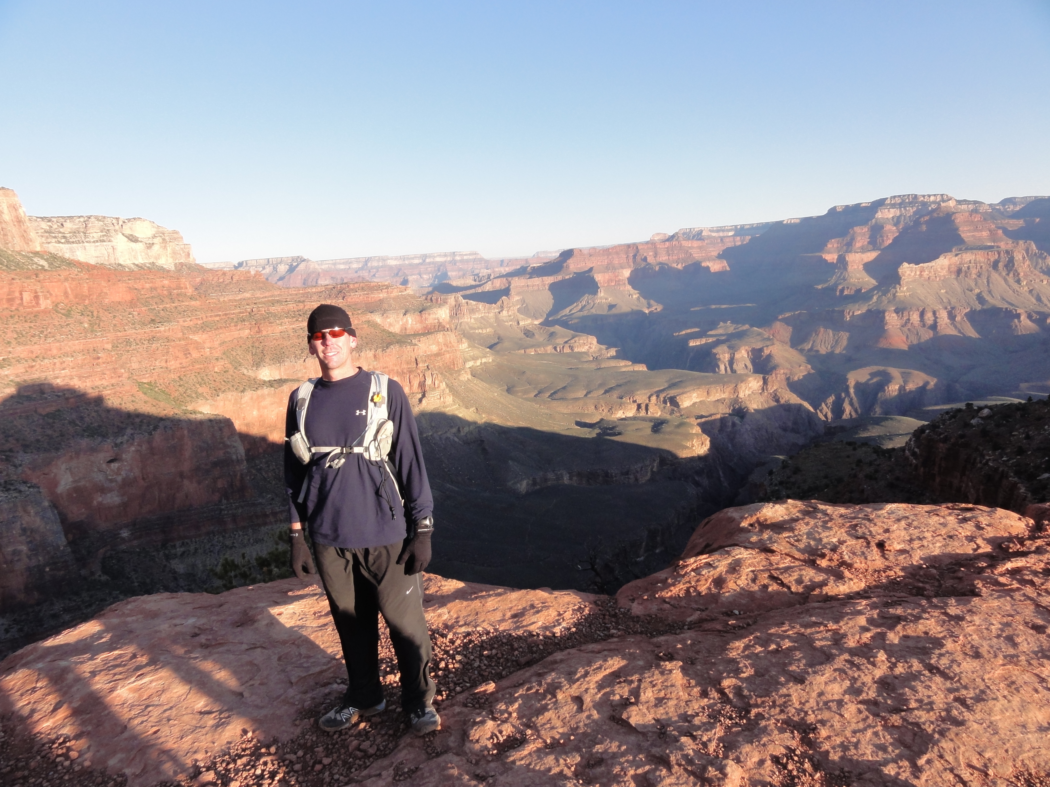
DSC00155 I stop for a bit to talk to some hikers and they offered to take my picture. It's tough to get into a good running groove when I keep stopping to take so many...
I stop for a bit to talk to some hikers and they offered to take my picture. It's tough to get into a good running groove when I keep stopping to take so many…
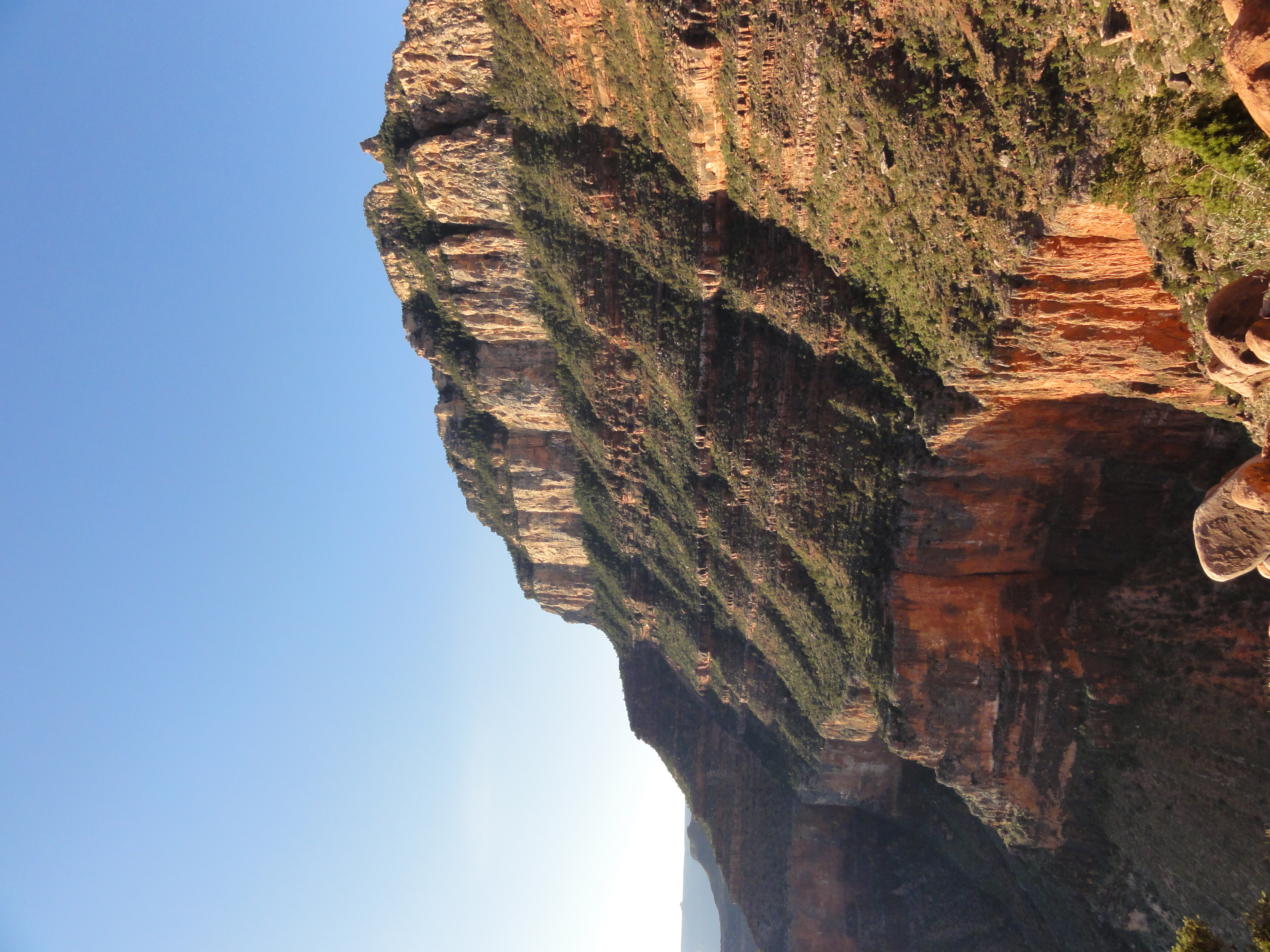
DSC00156 I'm not sure if the canyon is this green year round or we're just here at the right time, but the contrast of green against the bright red rocks is awesome.
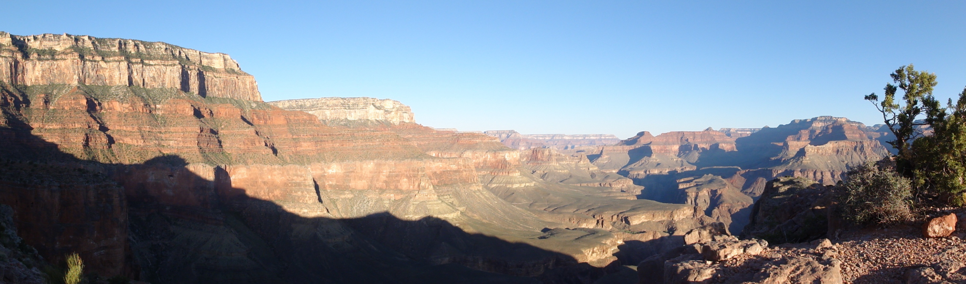
I'm not sure if the canyon is this green year round or we're just here at the right time, but the contrast of green against the bright red rocks is awesome.
DSC00160 The trail heads down the east side of O'Neill Butte as it drops deeper into the canyon. View Full Size
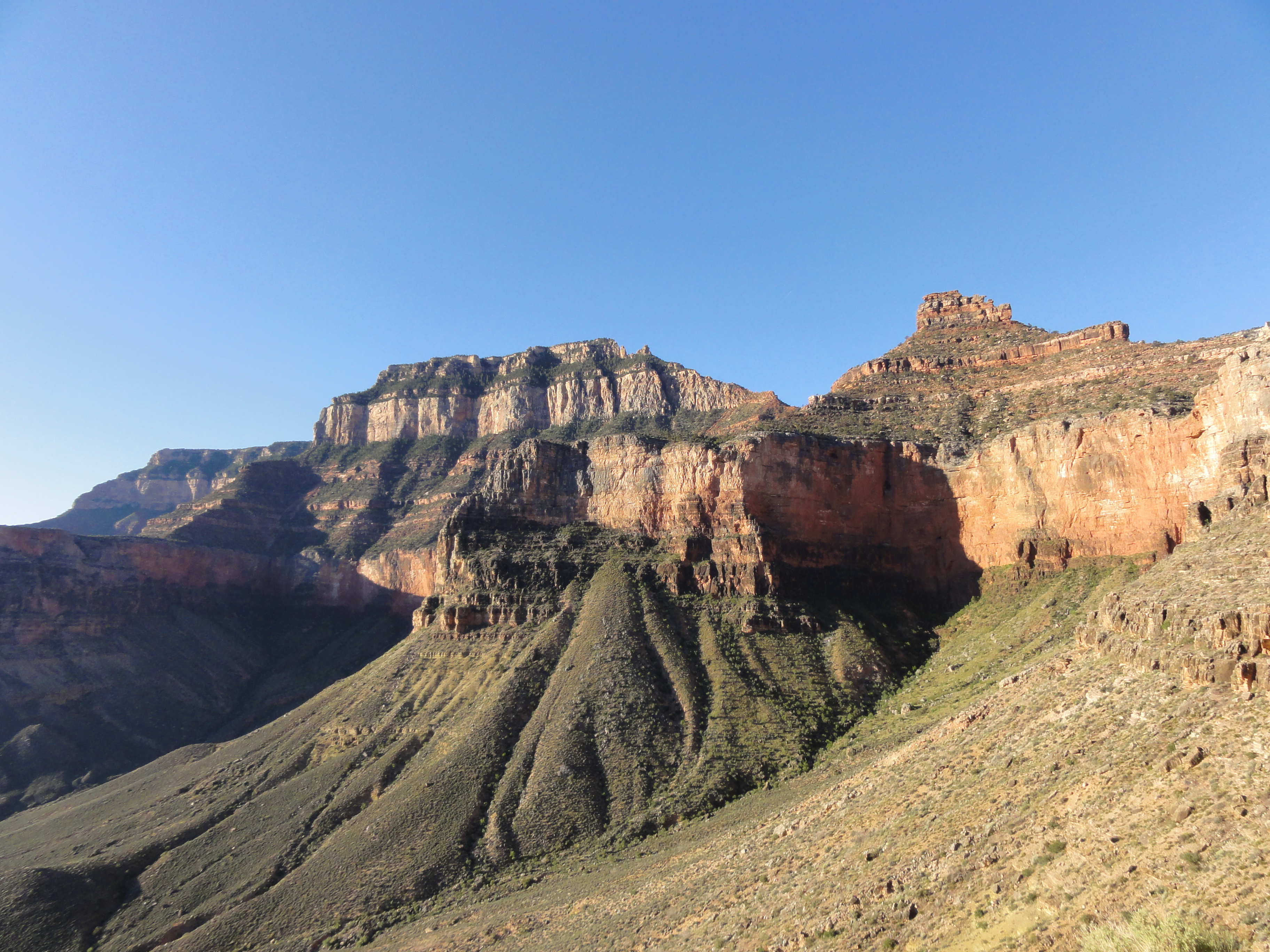
The trail heads down the east side of O'Neill Butte as it drops deeper into the canyon. View Full Size
DSC00162 The layers of rock are amazing. Some interesting facts from my handy trail guide... The steep cliffs result from erosion of harder rock layers while the more...
The layers of rock are amazing. Some interesting facts from my handy trail guide... The steep cliffs result from erosion of harder rock layers while the more…
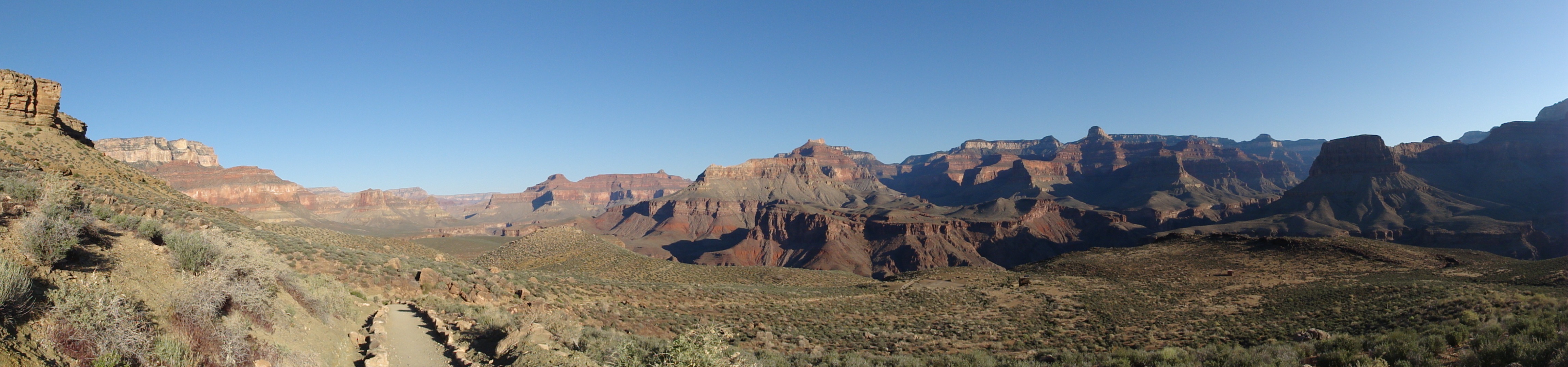
DSC00164 The trail levels off at the Tonto Platform before reaching the Tipoff and dropping into the Inner Gorge. View Full Size
The trail levels off at the Tonto Platform before reaching the Tipoff and dropping into the Inner Gorge. View Full Size
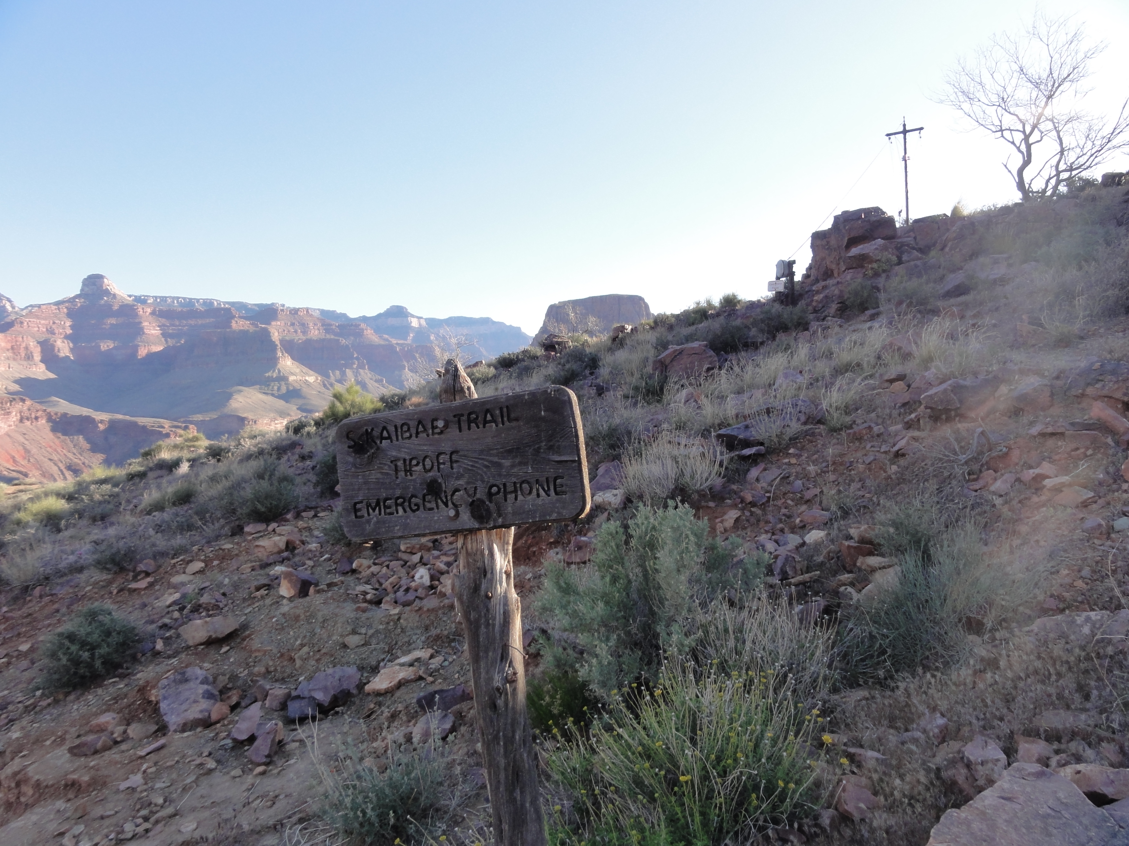
DSC00166 The Tipoff, roughly 3000' below the rim. A little over 1600' more to go.
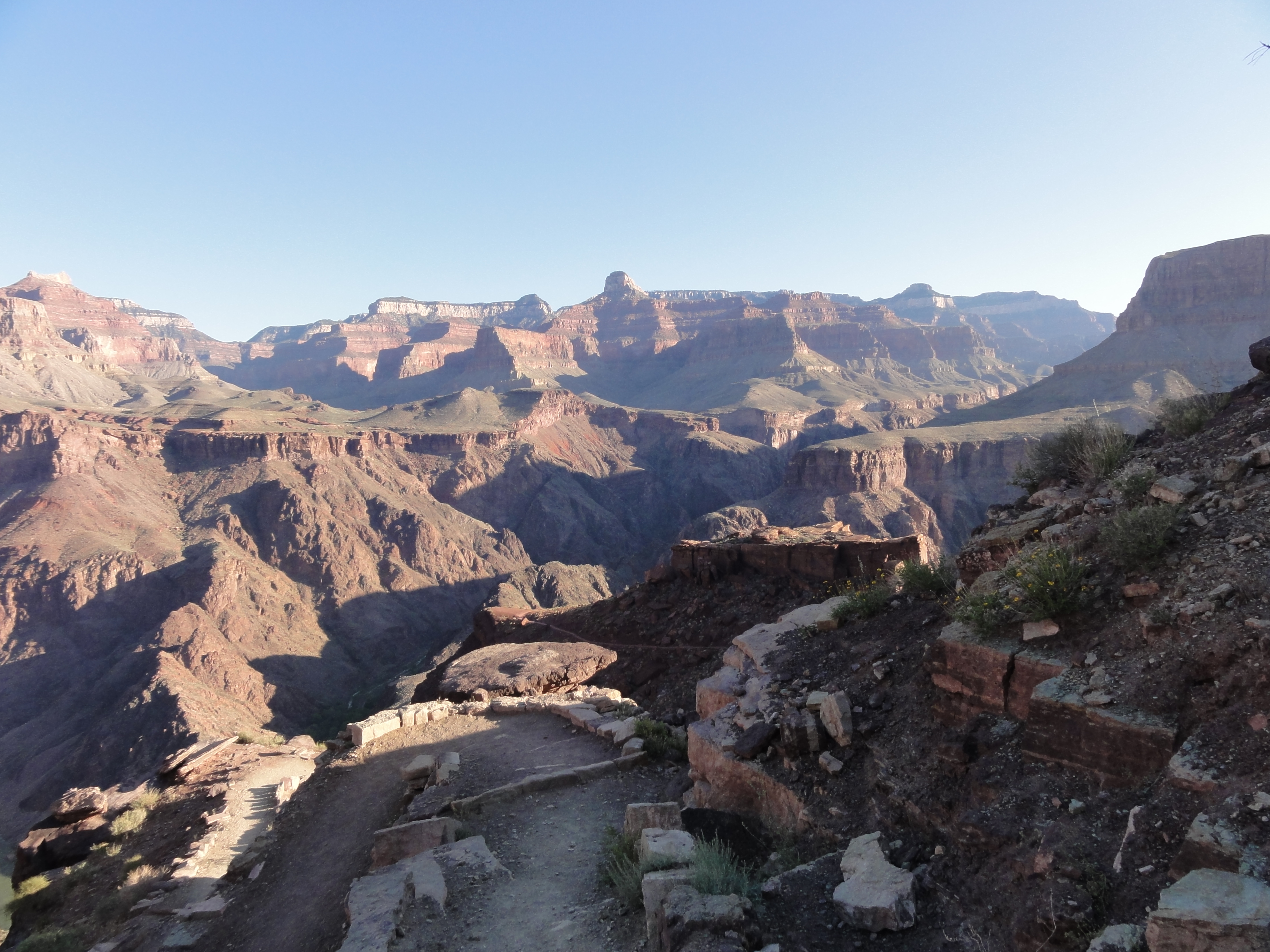
The Tipoff, roughly 3000' below the rim. A little over 1600' more to go.
DSC00168 The switchbacks dropping into the Inner Gorge. Brief glimpses of the Colorado River have been visible for a while now and are starting to become more frequent.
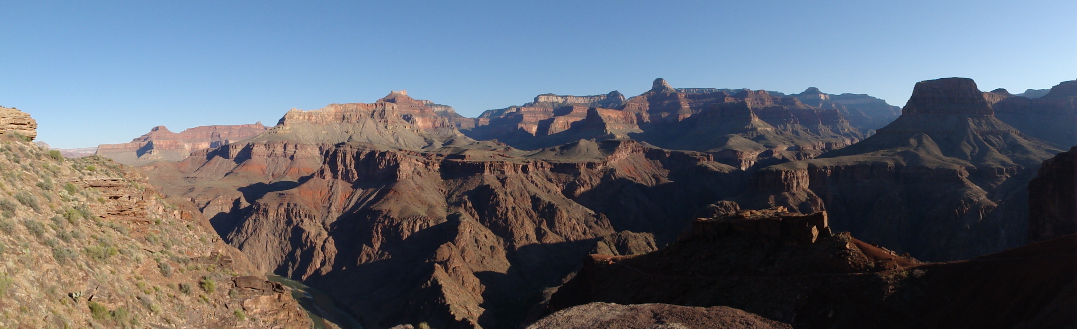
The switchbacks dropping into the Inner Gorge. Brief glimpses of the Colorado River have been visible for a while now and are starting to become more frequent.
DSC00170 Panorama Point below the Tipoff. You can see part of the trail winding down to the Colorado River below. View Full Size
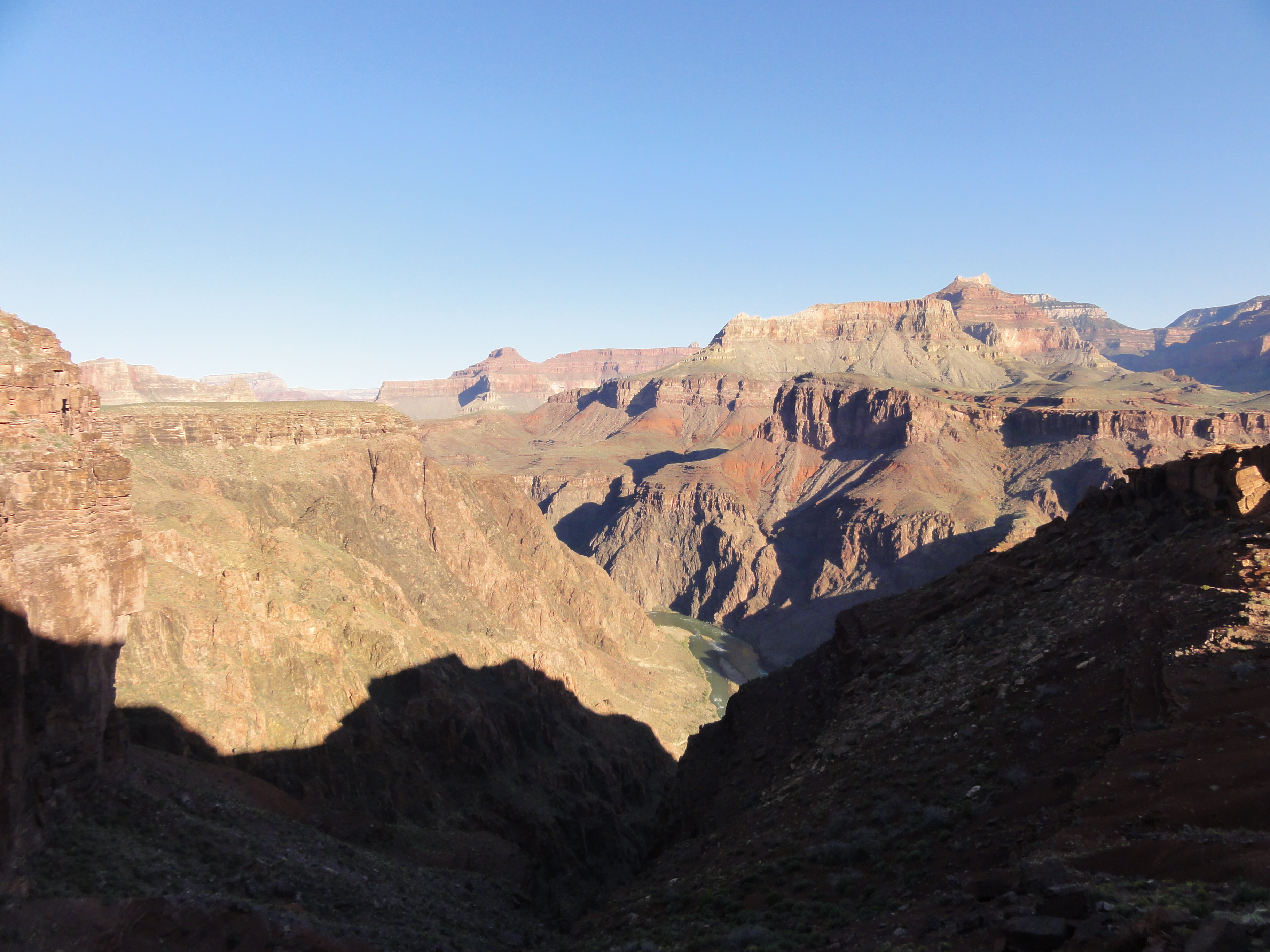
Panorama Point below the Tipoff. You can see part of the trail winding down to the Colorado River below. View Full Size
DSC00172 The views are still amazing and the river is starting to get closer.
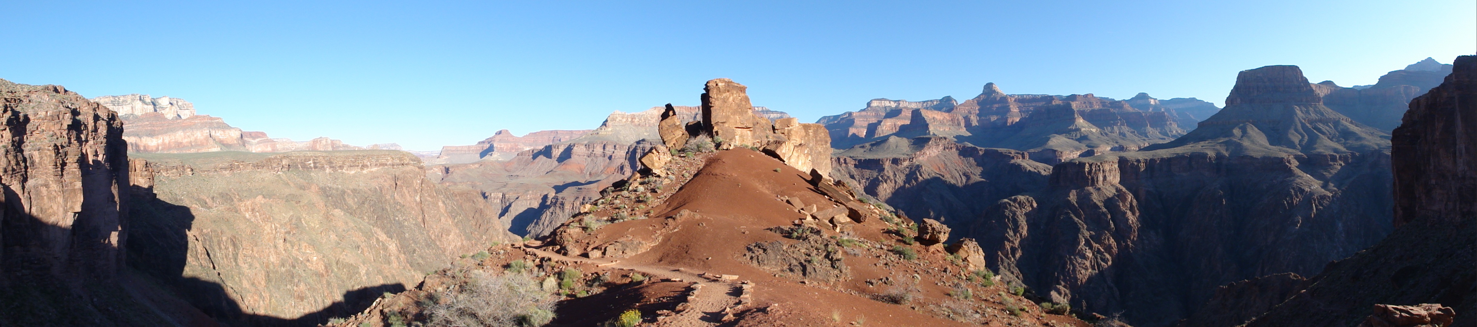
The views are still amazing and the river is starting to get closer.
DSC00175 More great views. View Full Size
More great views. View Full Size
DSC00182 You can see the Bright Angel suspension bridge is the distance below. View Full Size
You can see the Bright Angel suspension bridge is the distance below. View Full Size