Bright Angel

After returning to the Colorado River via the North Kaibab trail, the run transitions to the River Trail and then the Bright Angel trail to return to the South Rim. This section is roughly 9 miles with over 5000' of elevation gain.
DSC00369 Back at the Colorado River. The run down to Cottonwood Camp was pretty uneventful, the 6000' drop went by fast. The run from Cottonwood back to The Box though...
Back at the Colorado River. The run down to Cottonwood Camp was pretty uneventful, the 6000' drop went by fast. The run from Cottonwood back to The Box though…
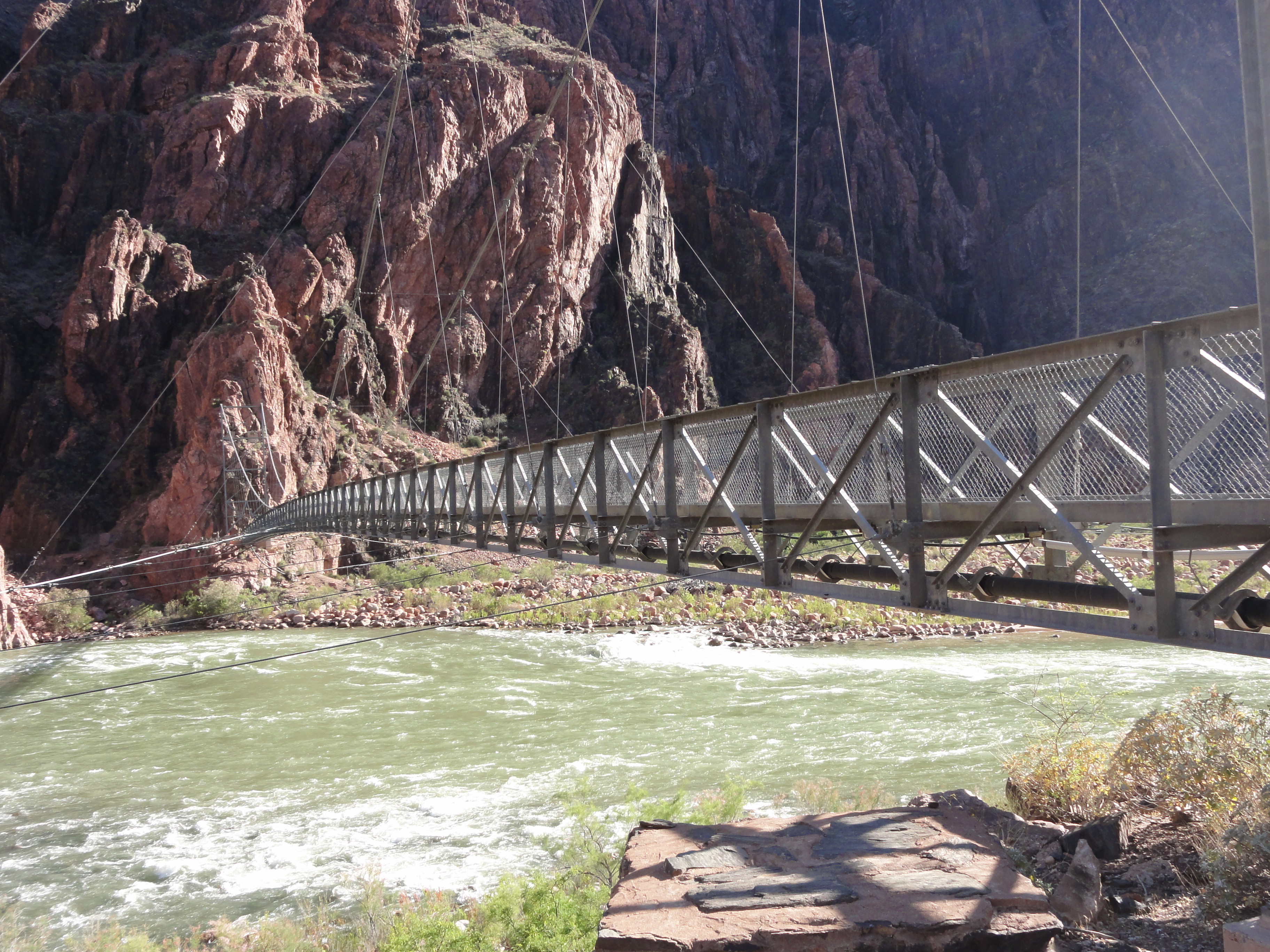
DSC00370 Crossing the Silver Bridge. It was built in the 1960s as part of the project to carry water from Roaring Springs to the South Rim.
Crossing the Silver Bridge. It was built in the 1960s as part of the project to carry water from Roaring Springs to the South Rim.
DSC00371 Looking upstream from the Silver Bridge. You can see the Kaibab (Black) bridge in the distance. Evidently the river is much clearer than it used to be....
Looking upstream from the Silver Bridge. You can see the Kaibab (Black) bridge in the distance. Evidently the river is much clearer than it used to be.…
DSC00374 Now on the South side of the river and ready to follow the River Trail to the Bright Angel junction.
Now on the South side of the river and ready to follow the River Trail to the Bright Angel junction.
DSC00378 The River Trail follows the Colorado River for about a mile and a half. The trail is deep sand in places, which slows my pace. Fortunately, all my beach...
The River Trail follows the Colorado River for about a mile and a half. The trail is deep sand in places, which slows my pace. Fortunately, all my beach…
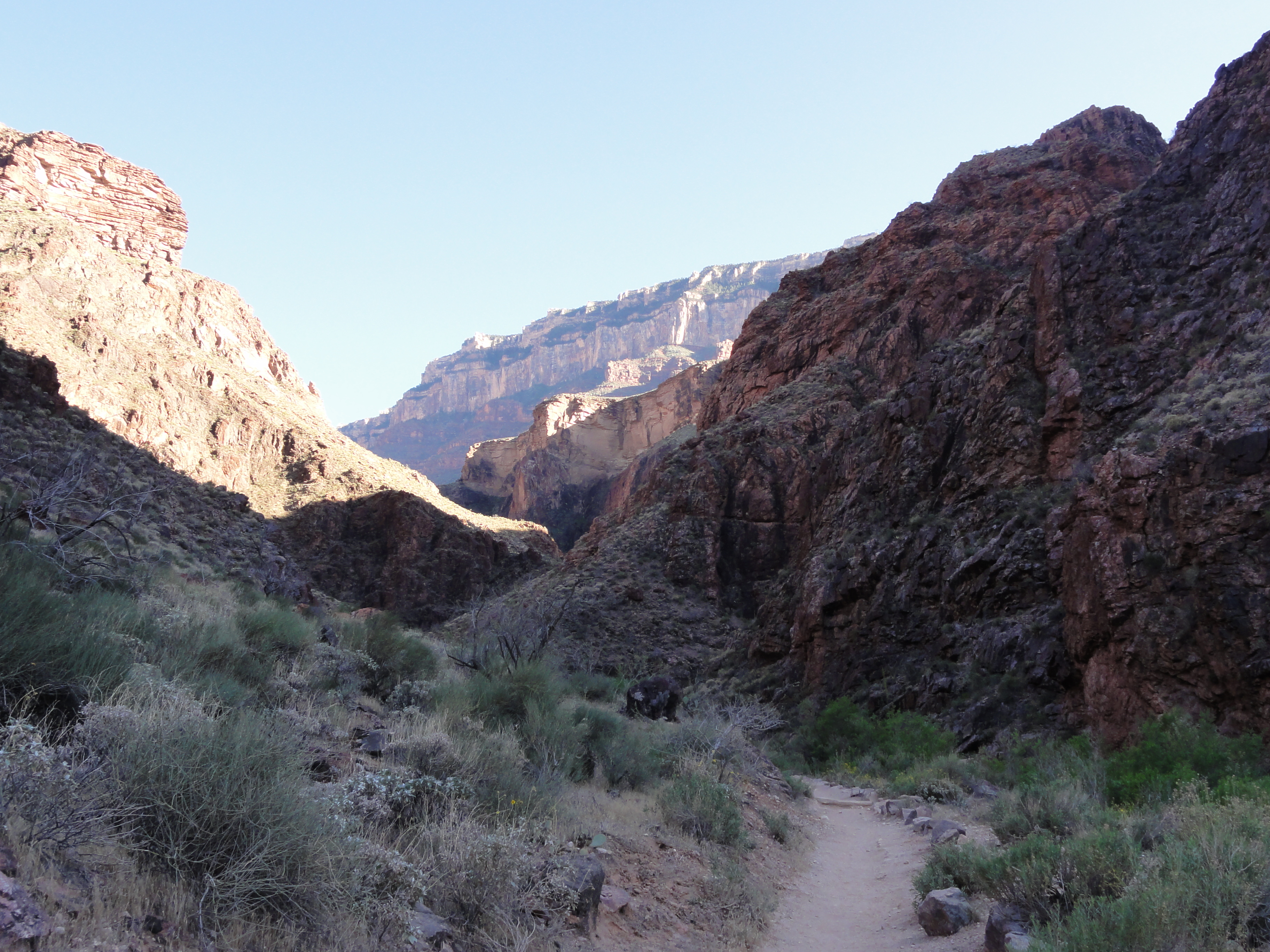
DSC00385 Leaving the river, the trail follows Pipe Creek for a while. This is the first clear glimpse of the South Rim, and it looks a long ways away!
Leaving the river, the trail follows Pipe Creek for a while. This is the first clear glimpse of the South Rim, and it looks a long ways away!
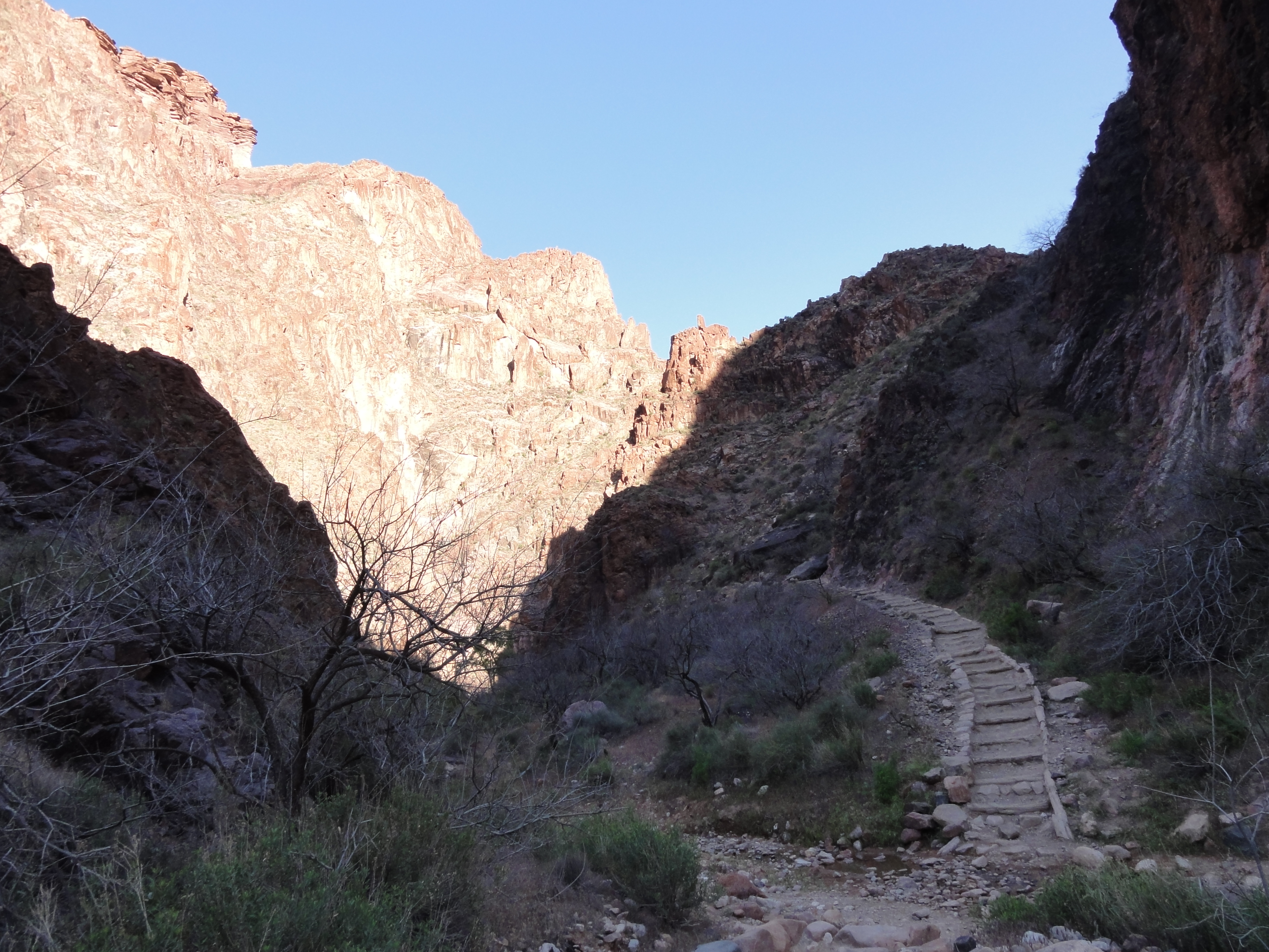
DSC00392 Leaving Pipe Creek at about 3000' and getting ready to head up the Devil's Corkscrew, which is a nasty set of switchbacks covering about 600 vertical feet.
Leaving Pipe Creek at about 3000' and getting ready to head up the Devil's Corkscrew, which is a nasty set of switchbacks covering about 600 vertical feet.
DSC00394 Bright Angel seems to be a bit of a cross between South Kaibab and The Box. The views aren't as expansive as South Kaibab or as chiseled as The Box, but they...
Bright Angel seems to be a bit of a cross between South Kaibab and The Box. The views aren't as expansive as South Kaibab or as chiseled as The Box, but they…
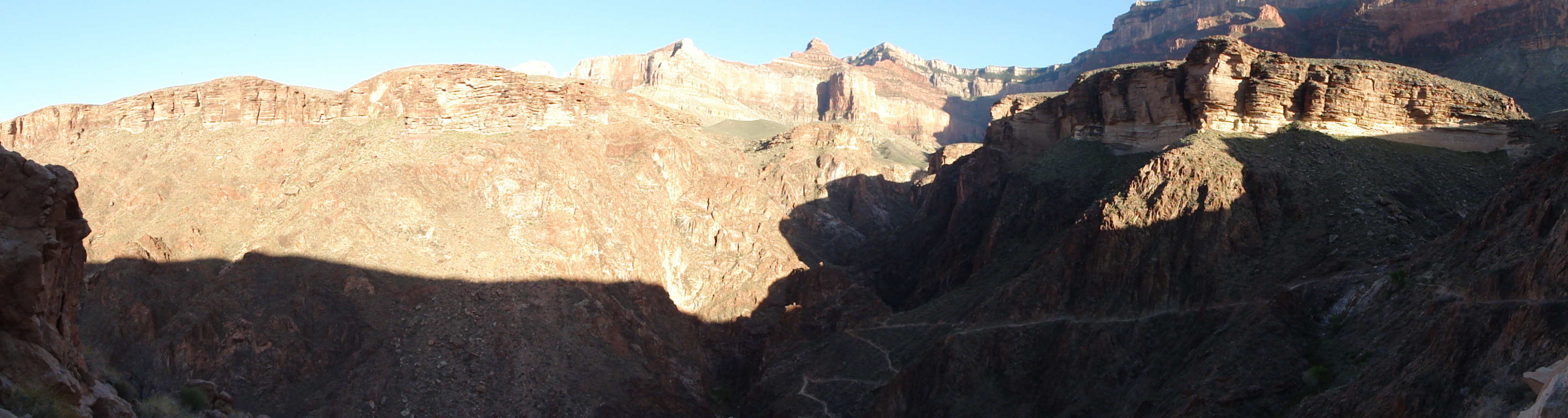
DSC00399 A good look at the trail winding its way up to the Tonto Platform. View Full Size
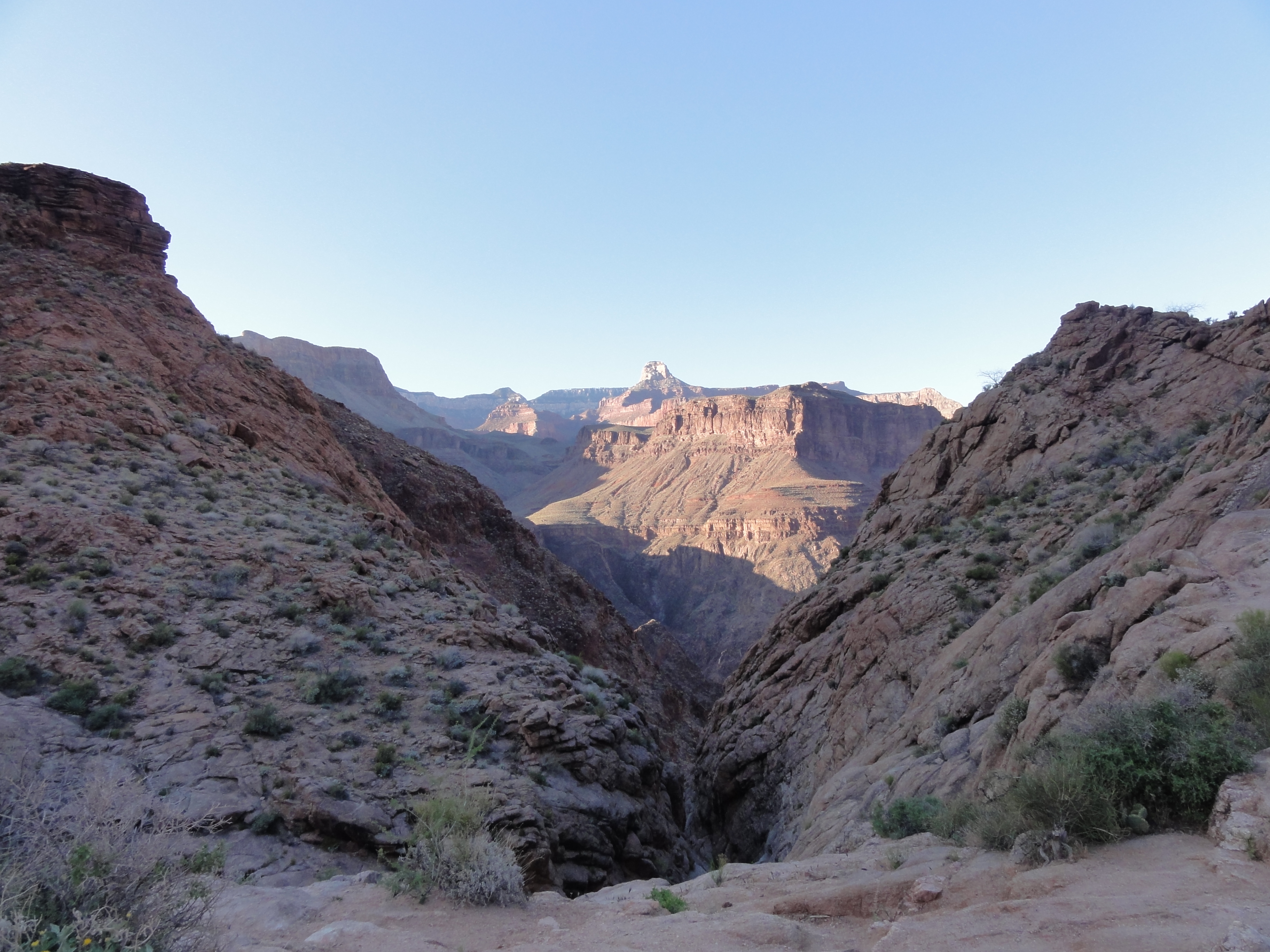
A good look at the trail winding its way up to the Tonto Platform. View Full Size
DSC00401 It's now about 6:00pm and the sun is getting low in the canyon, which makes for some awesome lighting. Hopes of hitting my 14 hour goal are starting to fade...
It's now about 6:00pm and the sun is getting low in the canyon, which makes for some awesome lighting. Hopes of hitting my 14 hour goal are starting to fade…
MAH00389 A short video made strictly for the sound clip. Turn your speakers up loud. In the area along Garden Creek, some sort of animal was making these really loud...
A short video made strictly for the sound clip. Turn your speakers up loud. In the area along Garden Creek, some sort of animal was making these really loud…
DSC00404 A family of deer having dinner. They pretty much ignore me as I take picures.
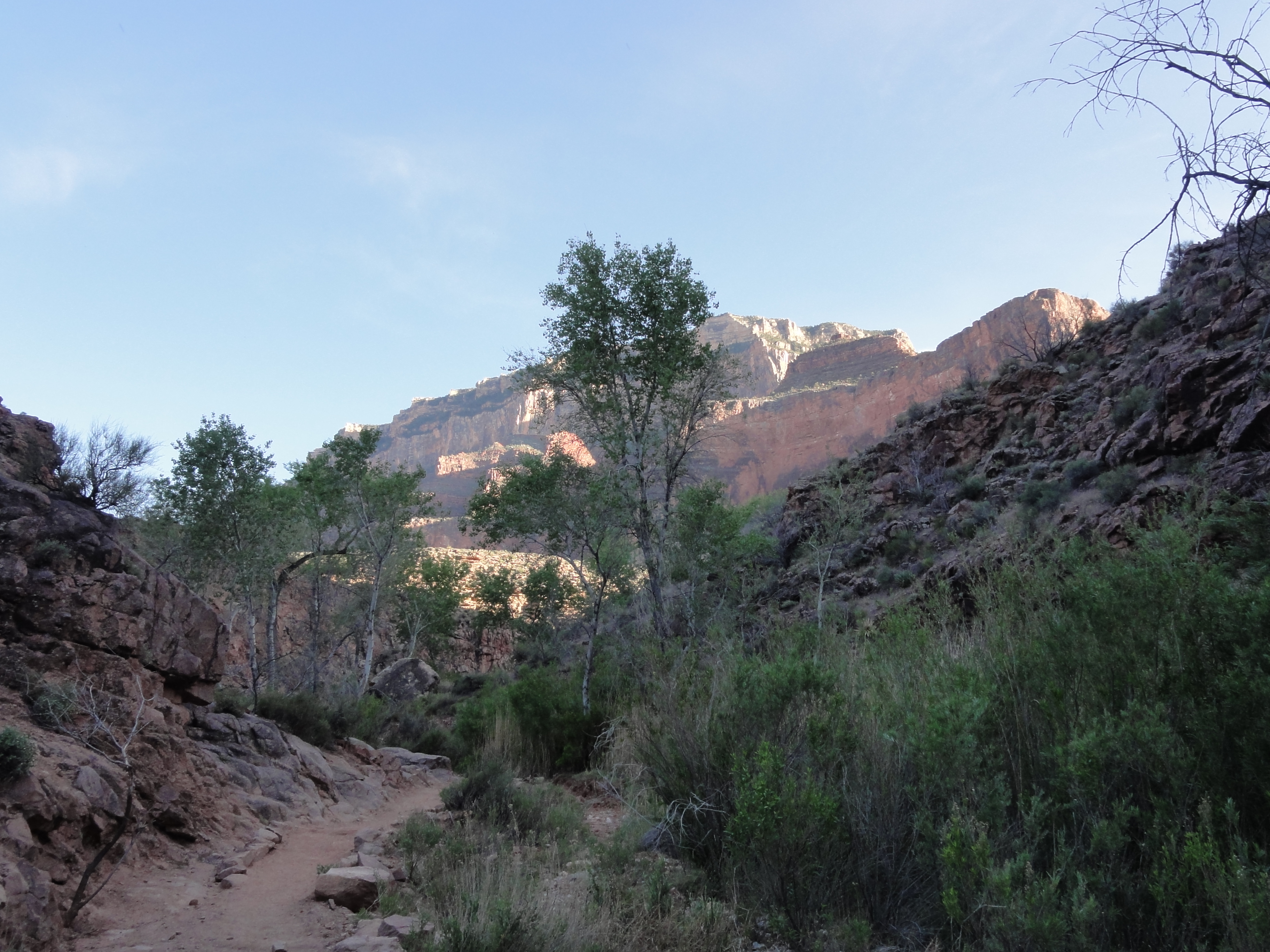
A family of deer having dinner. They pretty much ignore me as I take picures.
DSC00405 The setting sun is making for some views almost as amazing as the sunrise views that started the day. As always, the picture doesn't do the lighting justice.
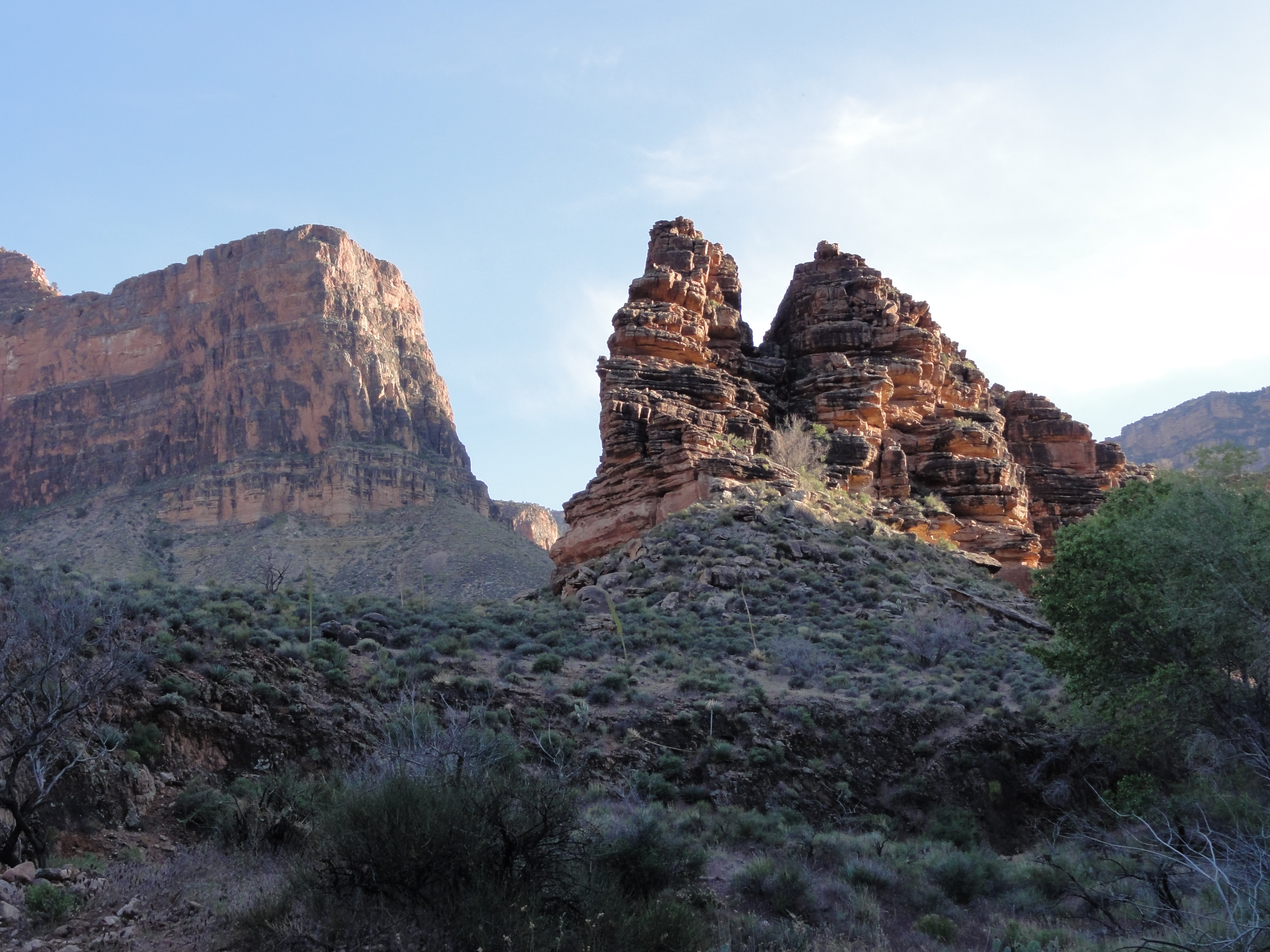
The setting sun is making for some views almost as amazing as the sunrise views that started the day. As always, the picture doesn't do the lighting justice.
DSC00406 One of my favorite views from the entire trip. The picture absolutely does not do it justice. In the setting sun, the huge rock formation on the right looked...
One of my favorite views from the entire trip. The picture absolutely does not do it justice. In the setting sun, the huge rock formation on the right looked…
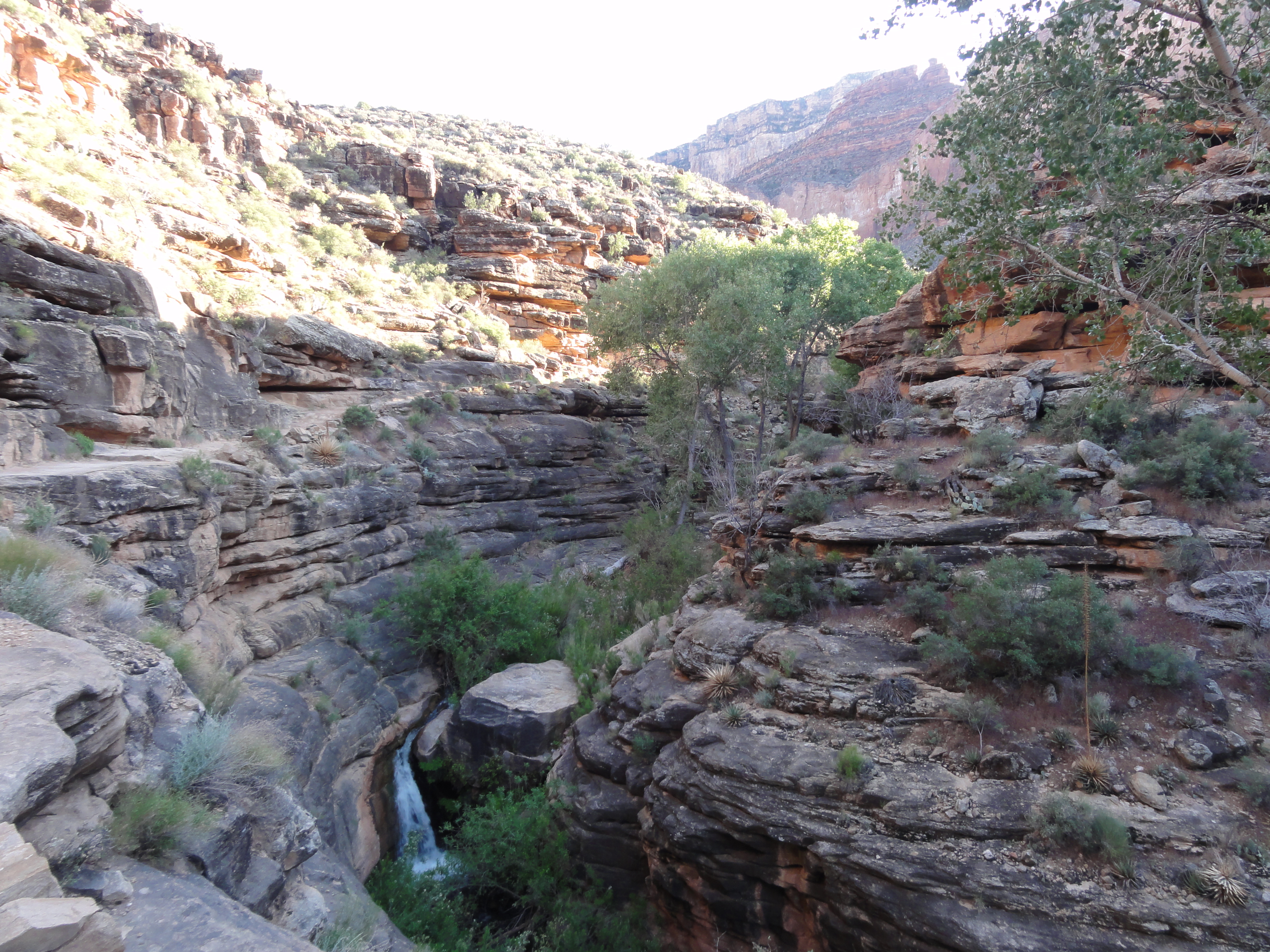
DSC00409 An unexpected waterfall as Garden Creek cuts its own little canyon in the area called the Tapeats Narrows. This looks to me like something from a movie set.
An unexpected waterfall as Garden Creek cuts its own little canyon in the area called the Tapeats Narrows. This looks to me like something from a movie set.
DSC00411 A panoramic view from the Tonto Platform looking towards Indian Garden and the South Rim. View Full Size
A panoramic view from the Tonto Platform looking towards Indian Garden and the South Rim. View Full Size
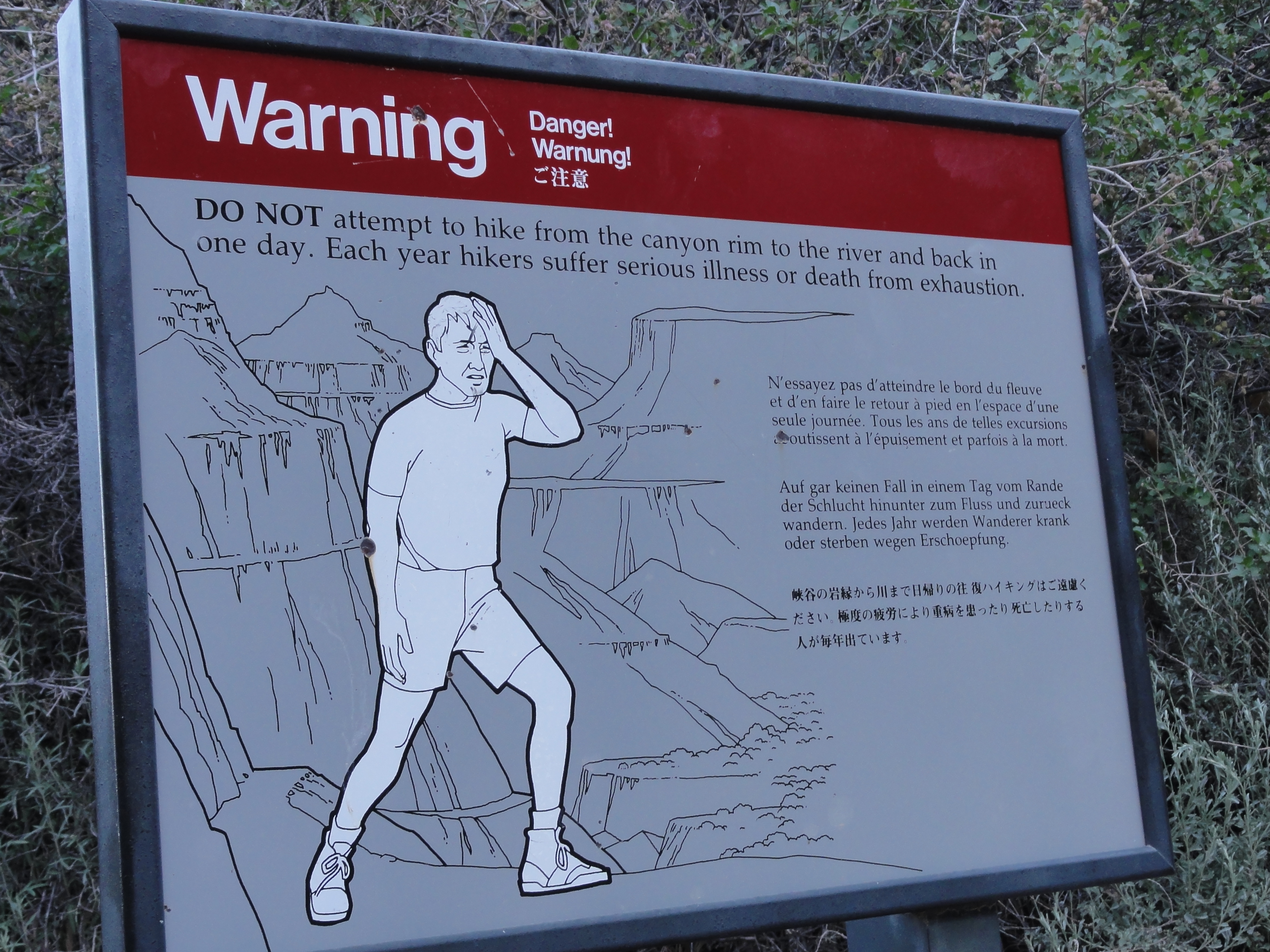
DSC00414 Yep, I pretty much feel like that guy right now. I wonder what the warning sign for
Yep, I pretty much feel like that guy right now. I wonder what the warning sign for "DO NOT attempt R2R2R in one day" would look like?
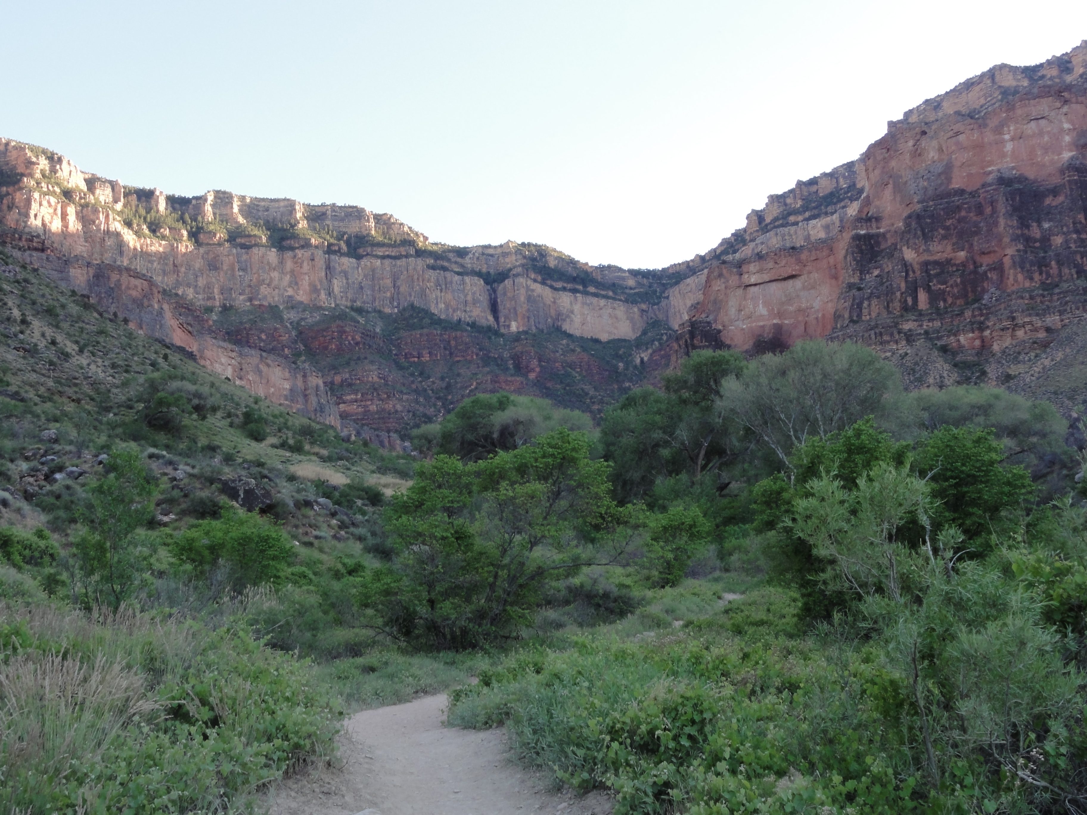
DSC00413 Approaching Indian Garden, a lush oasis in the middle of the Grand Canyon. Similar to Roaring Springs, there are several springs that form here when water...
Approaching Indian Garden, a lush oasis in the middle of the Grand Canyon. Similar to Roaring Springs, there are several springs that form here when water…
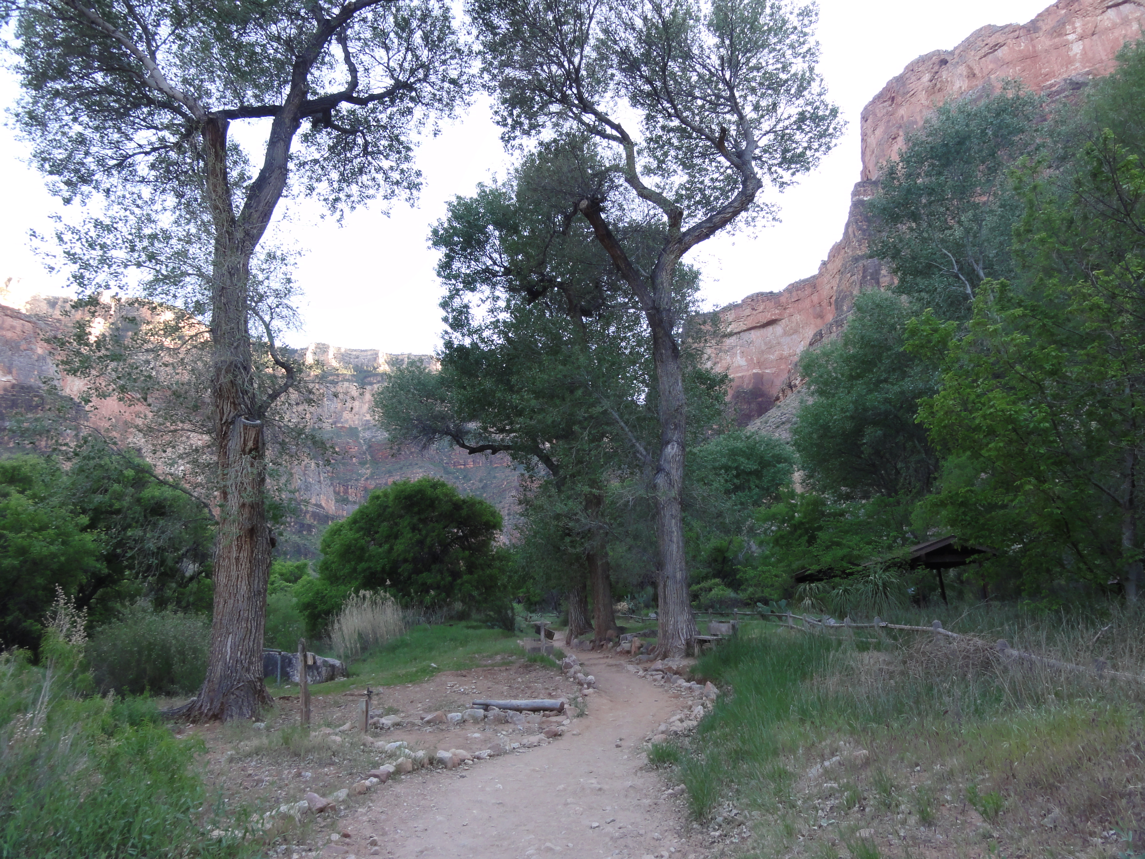
DSC00415 Walking through Indian Garden.
Walking through Indian Garden.
DSC00416 The Indian Garden Ranger Station.
The Indian Garden Ranger Station.