2/14/10 Another brutally tough, but fun, day in the snow. This time on the front-side of Mt. Baldy. Almost 14 miles and over 5000' of elevation gain. This time I actually saw a human though.
1 
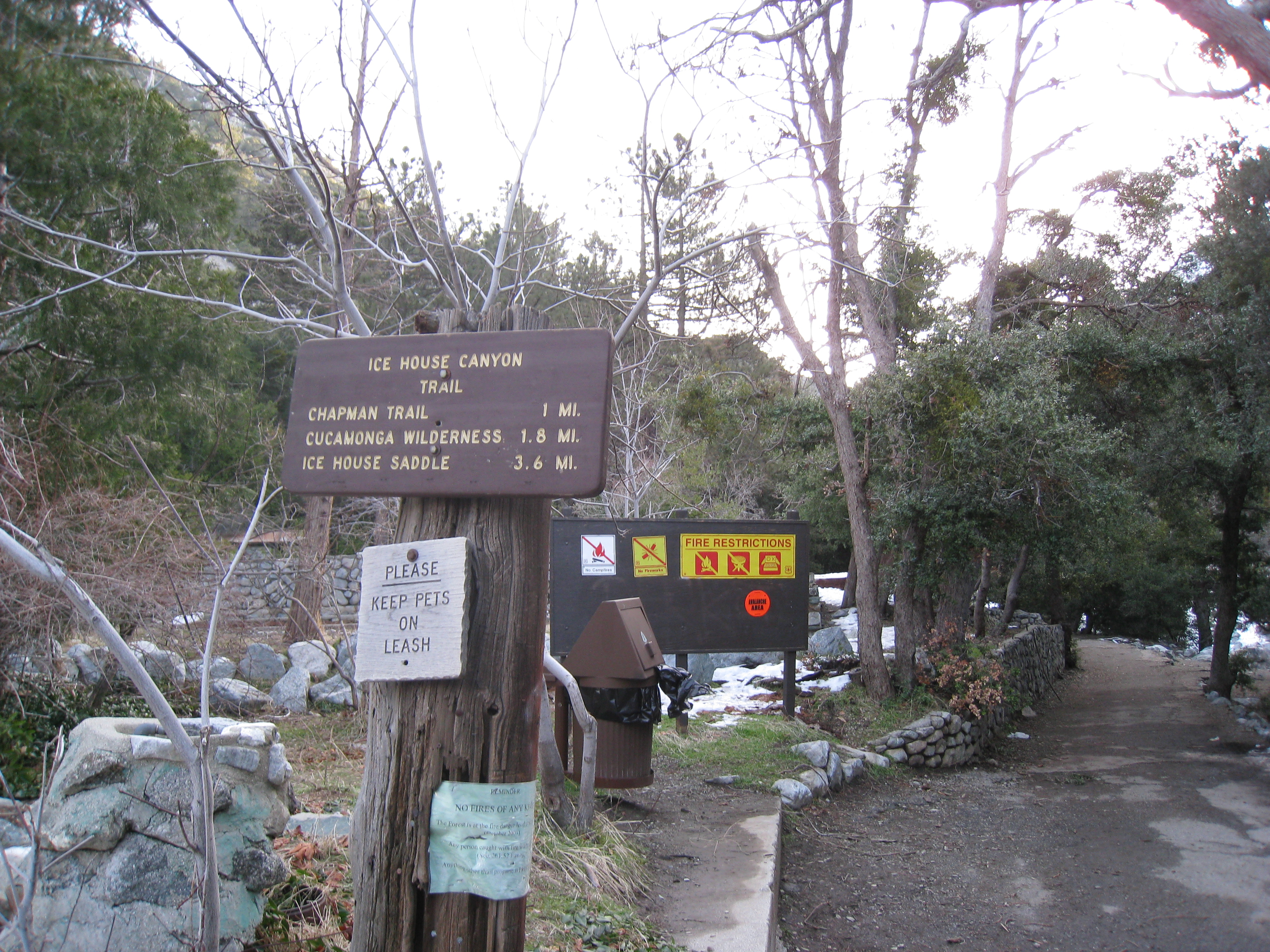
Well, I was looking to do another snowshoeing trip, but something a little bit more mellow this time around. Icehouse Canyon is evidently a popular snowshoeing spot in the Mt. Baldy area, so that sounded like a good fit. There had been about a foot of snow earlier in the week, so there should still be some good powder. But it was supposed to be really warm (expected to be in the 50s), and there were no more storms in the forecast, so I figured I better get up there before the snow ran out. Naturally the day turned out to be a little tougher than I anticipated. And to add to the challenge, I started a bit pre-fatigued from a having run a trail race the day before.
The trailhead is just a little ways up from the parking lot and then 3.6 miles to Icehouse Saddle. Elevation is almost exactly 5000', temperature is in the low 40s, the time is 7:30am, and there are just patches of snow at this point. The only snag so far has been that I don't have cell phone coverage here, so I wasn't able to send out my itinerary via txt message like I usually do. Well it should be a more mellow day anyway. Emphasis on should.
2 I have seen signs warning about mountain lions, rattlesnakes, and bears, but never one warning about New Zealand Mudsnails!
3 
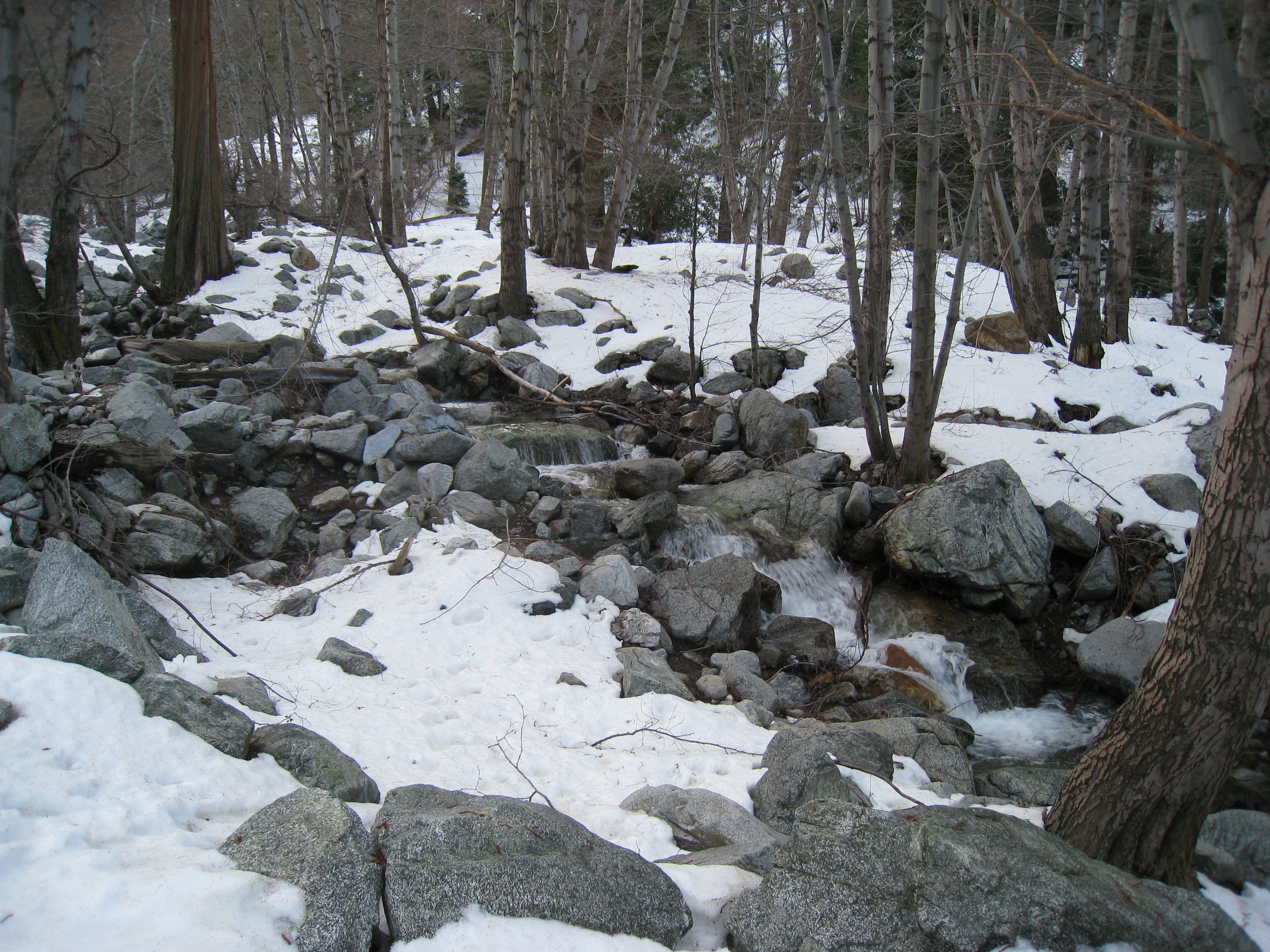
The creek running down Icehouse Canyon amidst the snow. One of the more picturesque spots I have seen in the Mt. Baldy area.
4 
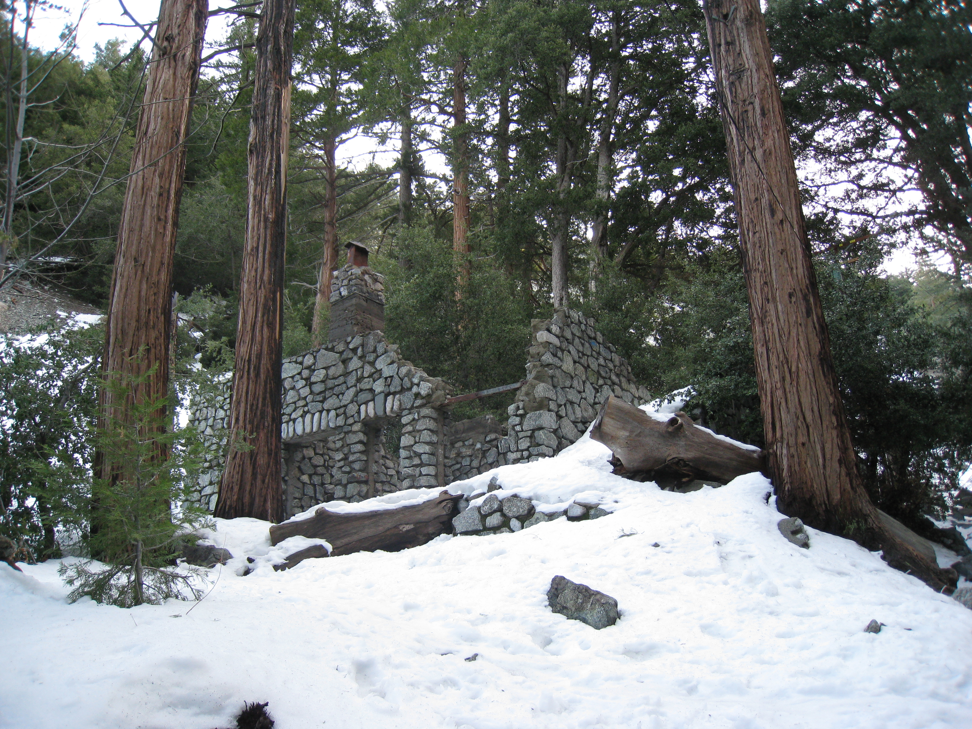
One of the many foundations of old cabins, evidently from a long time ago. There are still inhabited cabins in a few spots before you enter the Cucamonga Wilderness area.
5 
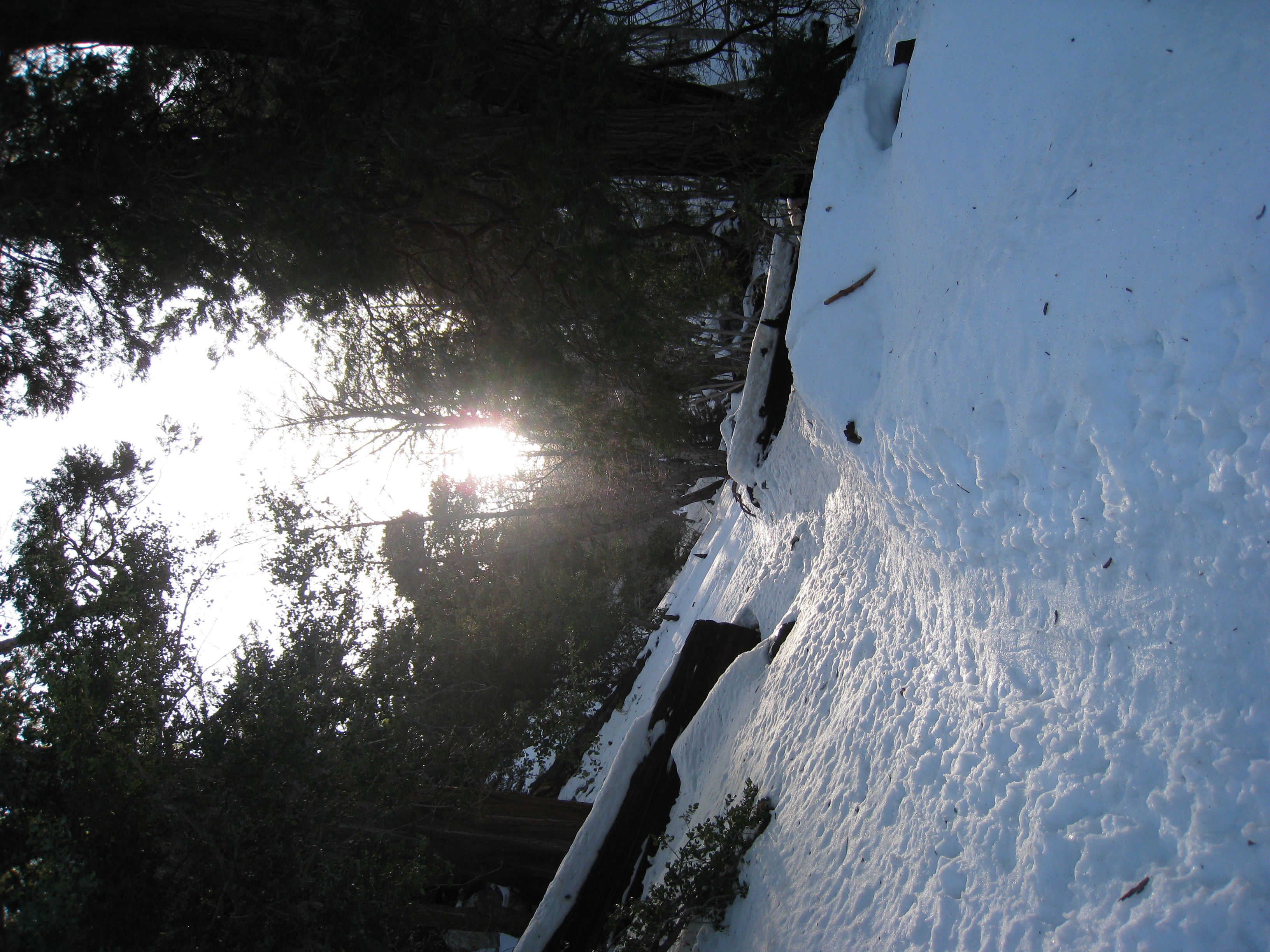
Late morning sunrise in Icehouse Canyon. I will actually see the sun rising and setting from almost the exact same location today. I saw one human just in from the trailhead, and then what looked like a husband/wife pair a bit further up the trail. They were loud, and I was worried about having them in my footsteps the whole way up, but they didn't make it very far once the snow got deep. I didn't see another human for the rest of the day.
6 
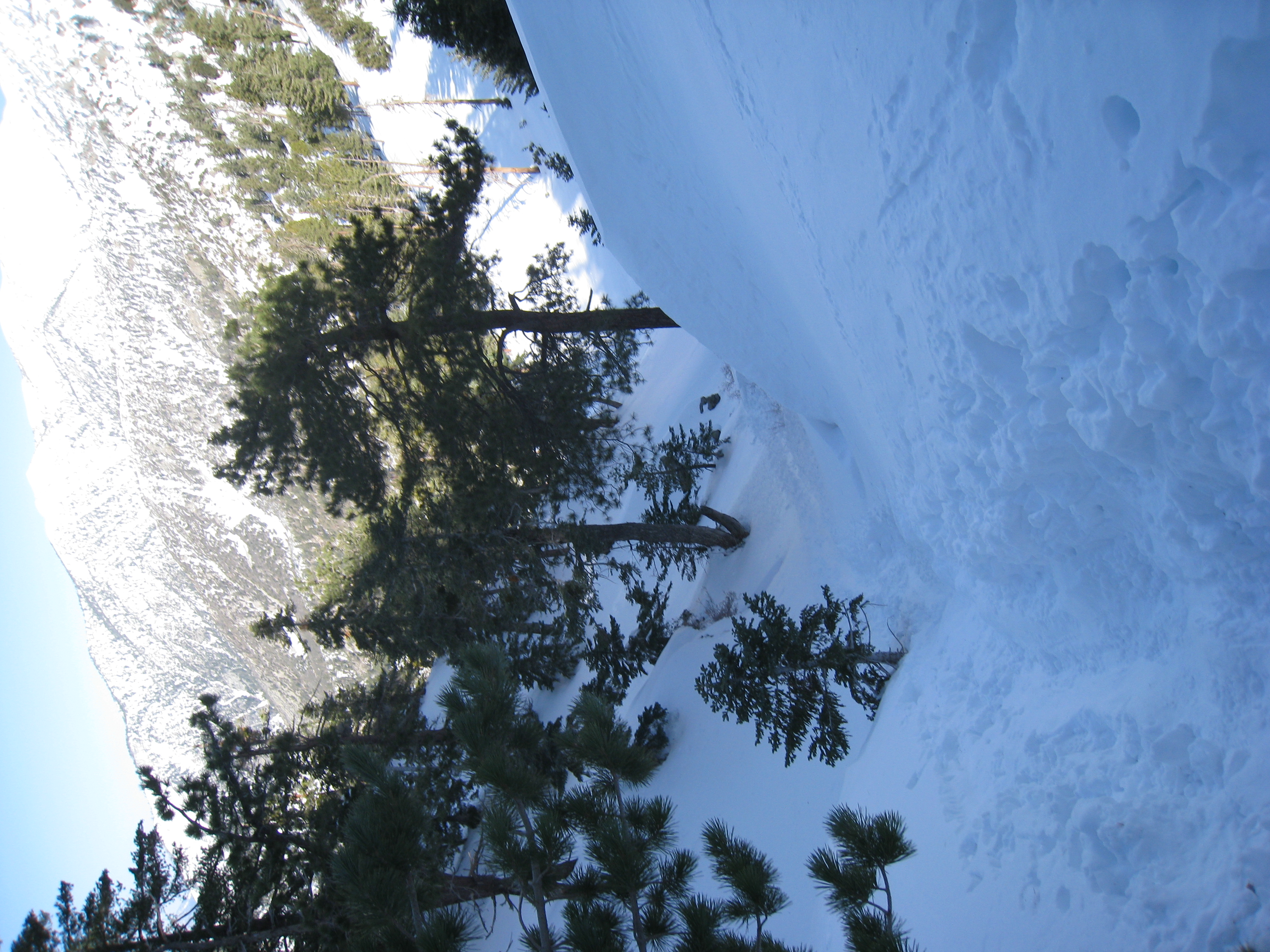
Another look at the creek cutting through the snow. The snow is getting deeper as I gain elevation. There is a deeply grooved trail all the way up to the saddle though. So no breaking the trail and no route finding. Might I actually have an easy day today? Now that's a dumb question, isn't it?
7 Almost at the saddle. Looking down the steep ascent the last little ways to the ridge. The trail cuts a chute right down the valley. And it looks like a few people have slid down it. I did as well on the way back.
8 Made it to the saddle! A picture looking down over the other side. I now realize that this is the end of the popular Icehouse Canyon snowshoeing area. Things aren't so popular from here on out. But it's still early, and I still need just a little more challenge for the day...
9 If I want to keep going, I have two options. Either South towards Cucamonga Peak or North towards Telegraph Peak. Originally, I had planned on Cucamonga Peak, but Telegraph Peak is the highest point in the Cucamonga Wilderness (higher than Cucamonga Peak by almost 200'), so I figured I might as well try to conquer that. Normally changing your itinerary is a no-no, but since I hadn't been able to tell anyone my itinerary anyway, no harm done.
10 The trail heading towards Timber Mtn. Much less traffic than the trail thus far. But as long as I have good set of prints to follow, things will be easier.
11 
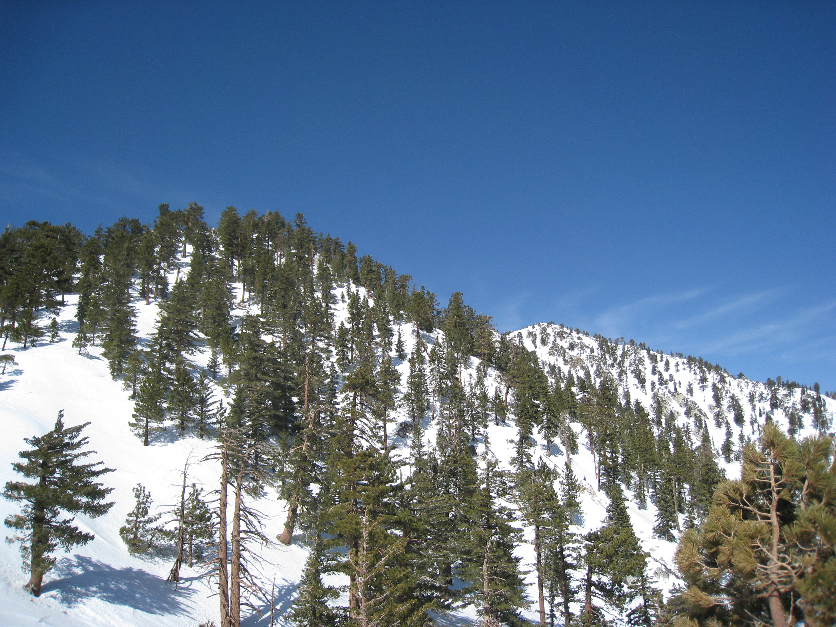
The first "T" peak, Timber Mtn. Evidently it used to be called Chapman Mtn. Either that or I'm in the wrong place!
12 A blank sign marking the peak. Doesn't instill much confidence.
13 Here lies the end of the snowshoe tracks from whoever came up here before me. Evidently Timber Mtn was as far as they wanted to go (or they were smarter than I am). I will be trailblazing from here on out. It has been 5 days since it snowed, so there has been no human past this point in at least that long.
14 
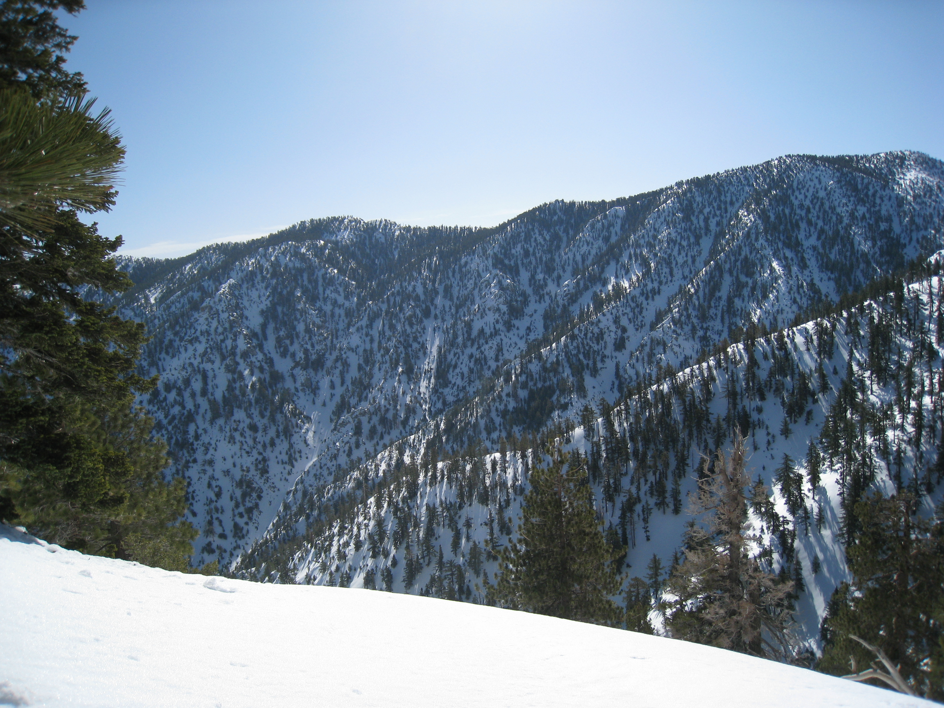
The first view of my destination. Telegraph Peak is actually the second from the left. It's funny how elevations can be deceiving from a distance. It also looks like I will be dropping down a ways before starting the steep climb up, which is never fun.
15 In my previous set of Baldy snowshoeing pictures, I neglected to mention my hatred of cross-traversing. What is traversing? Picture hiking a dry trail cutting across a steep slope. The trail is cut into the slope almost perpendicular to it. Well, in deep snow, the trail is gone, and you have only the angle of the slope. In deep powder. And snowshoes have the least traction in the lateral direction. It is definitely the most technically difficult part of snowshoeing in my opinion. It is slow going, grueling, murder on your ankles, and dangerous.
16 Why is it dangerous? Because often to your downhill side, you have something that looks like this. You may not be able to tell in the picture, but this is a very steep downhill. If you slip, you are going down for a long, long, long ways. This is where an accomplished mountaineer would have no worries, because they practice a technique with an ice axe called "self-arresting", which allows you to come to a stop in an out of control slide down steep terrain. But I still need a lot of practice before I trust myself to rely on that in these situations.
17 I have reached the next saddle before starting the ascent to Telegraph Peak. There is a huge lip of snow along the ridge here. I'm not sure if avalanches occur in this area, but this seems like a good spot to have one.
18 A look back up at my trail coming down from the last peak to the saddle here. I've noticed that my snowshoes don't seem to cut as deep as other tracks I see. Maybe because I weigh less than average, or I tread lightly, or just good snowshoes. It can make them harder to follow on the way back though, especially when the snow is melting quickly.
19 There are a lot of these barren little trees or shrubs up here, which look pretty cool against the snow.
20 
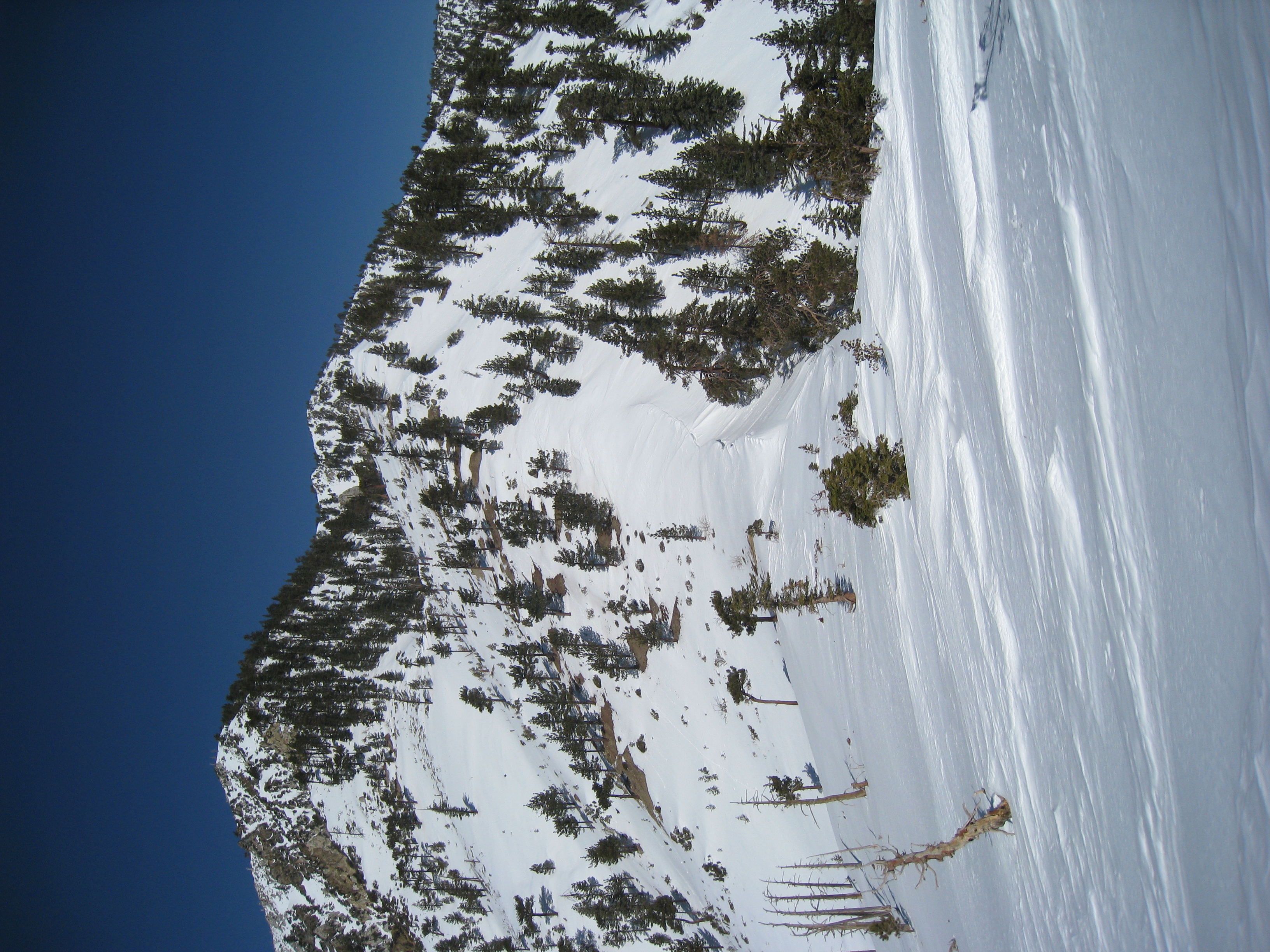
On my way up to Telegraph Peak (on the right). The topo map says the next portion of the trail is over 1000' gain in less than a mile. Not going to be fun. Snowshoeing terrain like this in deep powder, breaking your own trail, at altitude, is an insane workout. I really don't think I have ever done anything as grueling before.
21 Pretty rugged up here. Have to be really careful to know where you can safely wipeout, and where you really do not want to go.
22 More deep powder cross-traversing. Sometimes I will climp up then down just to avoid traversing. But I'm on the top of a ridge here, so nowhere to go but across. Again, piece of cake for an accomplished mountaineer, but a nightmare for me. And I wish someone would invent a camera that actually captured steepness of terrain.
23 It's starting to level out now, and I'm almost there, which is a really good thing because it's getting late, and I'm dying. For the last couple of miles now, in moments when I was completely still, I swear that I heard the faintest sounds of human voices. And for the last mile or so, I have actually smelled humans. Yes, you can definitely smell the slight outhouse scent that is around popular destinations in the mountains. It's amazing how heightened your senses get when it is so quiet and so pure up here.
24 Sure enough! As soon as I hit the ridge, I realize that I wasn't imagining it. Here is the source of the sounds and smells. The Mt. Baldy ski resort in the far distance. This is a 15x zoomed-in view. You can see the ski-lifts and the little dots skiing down the slopes. And you can hear human sounds very clearly, though it is at least a few miles away. I also see a set of snowshoe tracks coming up from that direction. I saw online that people take the ski-lift up to Mt. Baldy notch and then snowshoe from there. That should be illegal!
25 There are some big, black birds flying around up here. Hawks, ravens? I don't know, but they look cool.
26 A short video of my feathered friends.
27 On top of Telegraph Peak. 8985' elevation. An amazing 360 degree view, one of my favorite views in the area so far. Here you see Mt. Baldy (Mt. San Antonio) from the other side of where my pictures are normally taken. It is 1:30pm, almost exactly on my target summit time. But I'm worried about how long the steep descents will take on the way back down. There are some small sections of downhill that actually take longer than going uphill.
28 From the peak, looking back to where I came from.
29 A look towards Mt. San Gorgonio and Mt. San Jacinto in the distance. I still need to do a snow day on San Gorgonio. Maybe next time.
30 A look at the valley below.
31 A video 360 panorama and commentary from Telegraph Peak.
32 A look at my nifty new Black Diamond ice axe with pick and adze covers. I still need to get a leash though. For some reason, I lost track of time on the summit today (45 minutes went by!). Probably because it was so warm today. Normally it's too cold to sit still for long. The time is now 2:15pm, and I'm headed back down. I don't take too many pictures from here on out, given that I'm in a hurry to get back by dark.
33 I left my snowshoes on pretty long on the way down, mostly for traction. I had to cross a few dry areas, and even a couple creek crossings in them, which was fun. I also had several chances to practice "glissading" on the way down. Turns out my butt skiing actually has a name, and actually has technique involved (using the ice axe for self arresting). I practiced it in a few spots where there was a limit to how far I could go. But I don't have the confidence yet to try it in areas where sliding the wrong way can lead to death.
34 The sun setting in Icehouse Canyon from almost the exact same spot it was rising when I took the picture in the morning (looking the other direction).