12/24/11 I had great plans for a 32 mile out-and-back route over Condor Peak to Mount Gleason in the Tujunga Canyon area of the San Gabriel Mountains. But my day didn't quite turn out as planned. But, I still managed to get in around 20 miles with some decent elevation gain.
1 
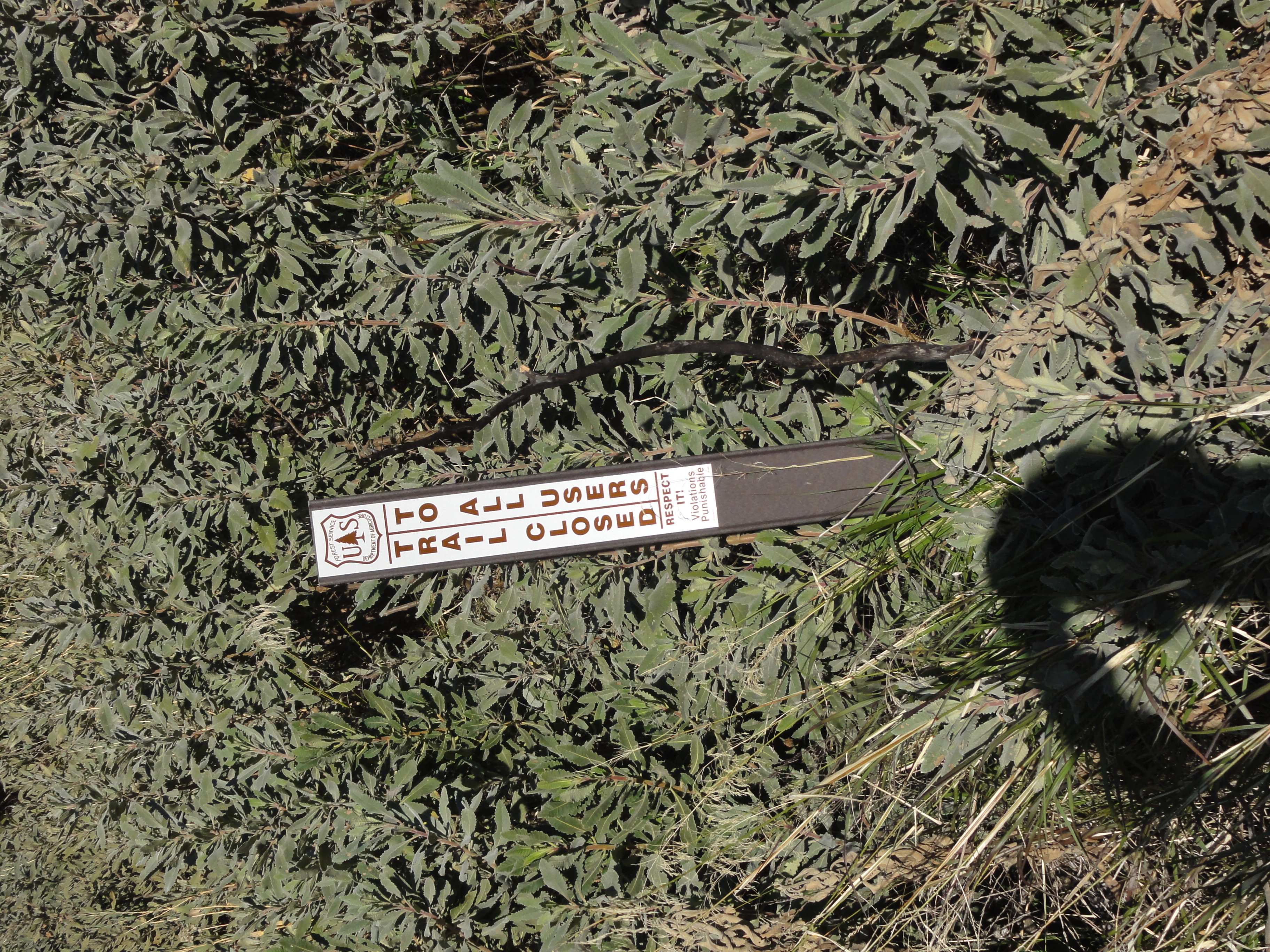
After searching around for a while on Big Tujunga Road for the Condor Peak trailhead, I finally found it. And along with it, I found this sign. Trail closed?! How could the trail be closed? My perfectly planned 32 mile route looked to be in jeopardy. But, I've found that "closed" is a relative term when it comes to trails. After driving nearly 2 hours to get here, I was determined to at least get a better look.
2 
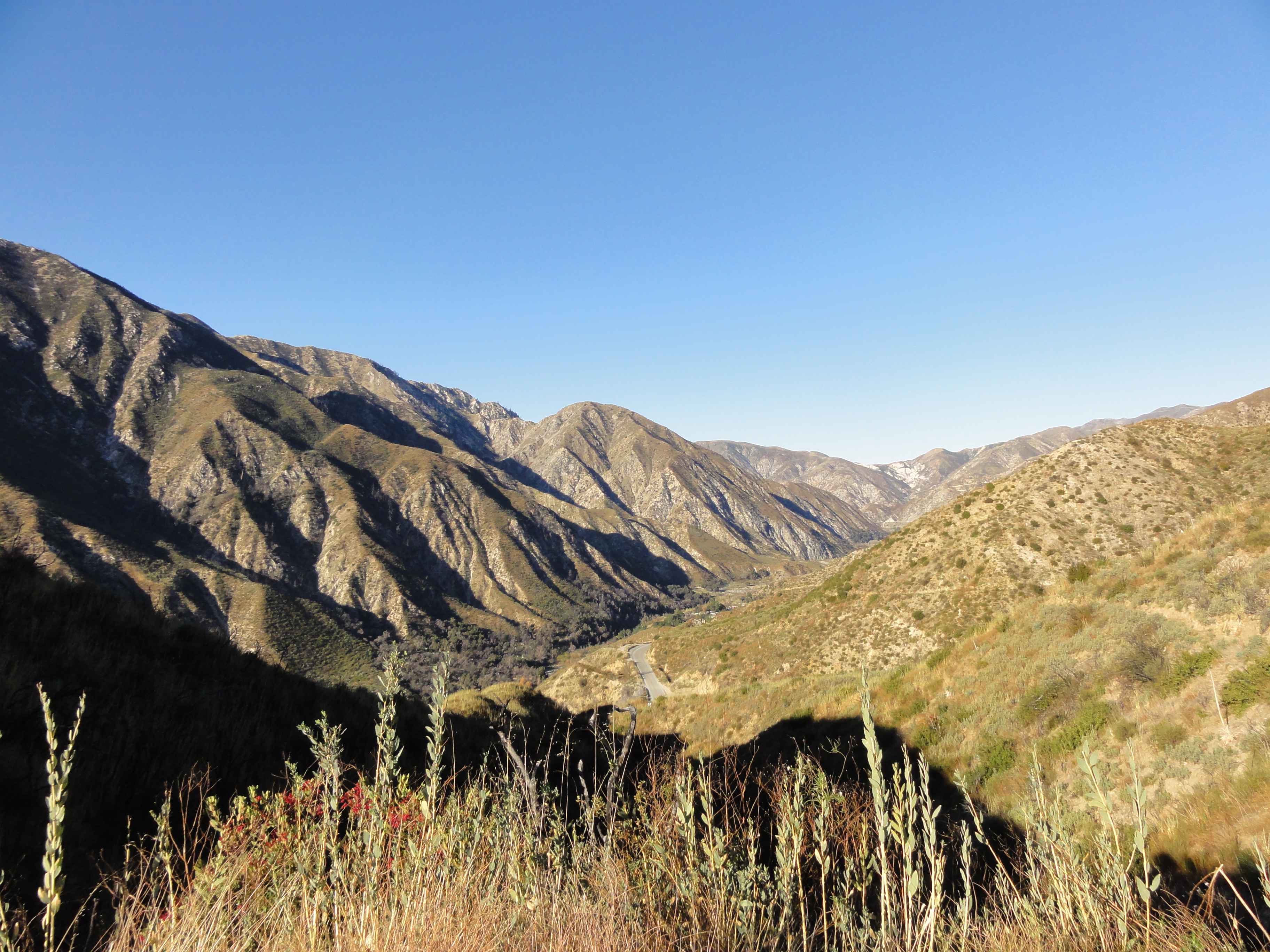
Made it up to the ridge above the road. The trail was mildly overgrown, but not bad at all. My hopes were rising that my route could still be doable.
3 A look over the other side of the ridge.
4 
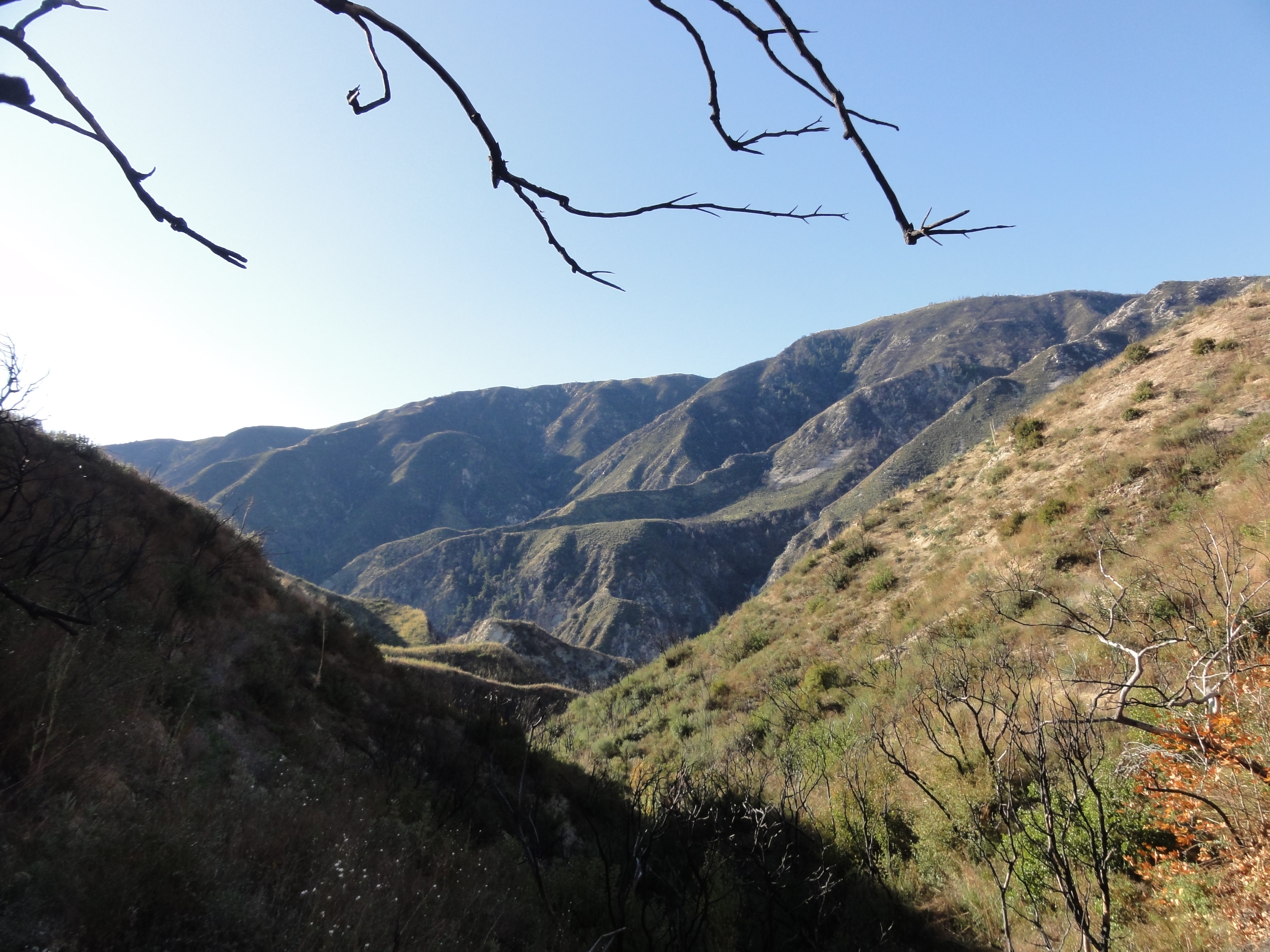
As soon as the trail went over the ridge, conditions got considerably worse. This is the "trail". Completely overgrown in places, completely washed out in other places. No way to run it, tough even to hike it. Had I been in hiking boots and pants, it might have been fun. But I was in shorts and lightweight trail shoes, and trekking through this stuff was putting a lot of wear and tear on both my shoes and my bare skin. I tried for maybe a mile before deciding it was hopeless. I guess the trail really was closed. So I headed-back.
5 On the way back down, I saw a steep little offshoot going up to a nearby peak. After debating about whether to see where it went, I figured "what the heck, who knows when I'll be here again", so I headed-up.
6 
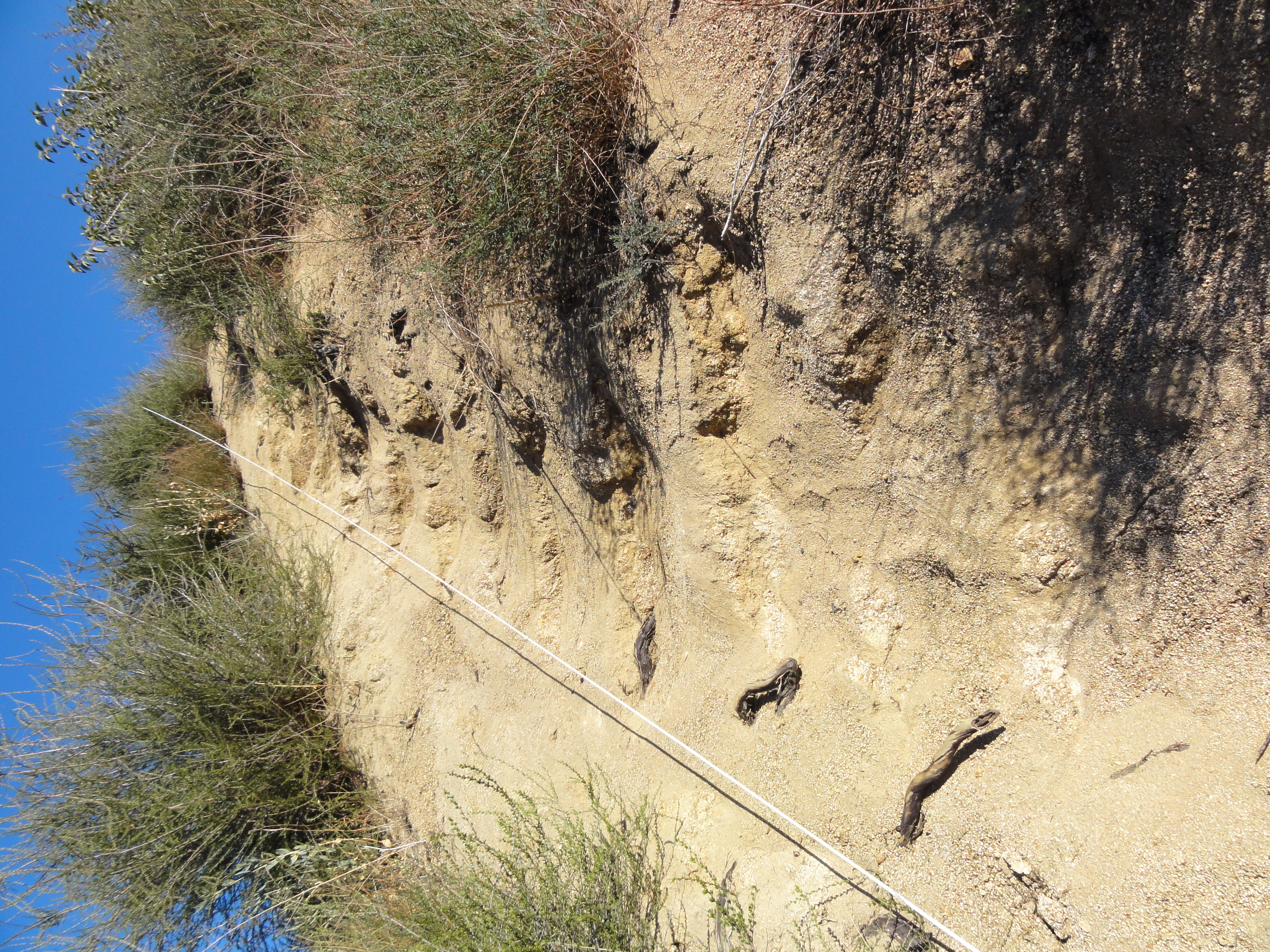
The trail was steep to the point that there were steps cut into the hill and a makeshift guardrail. It didn't seem to be going anywhere interesting, and I almost turned around. But then...
7 
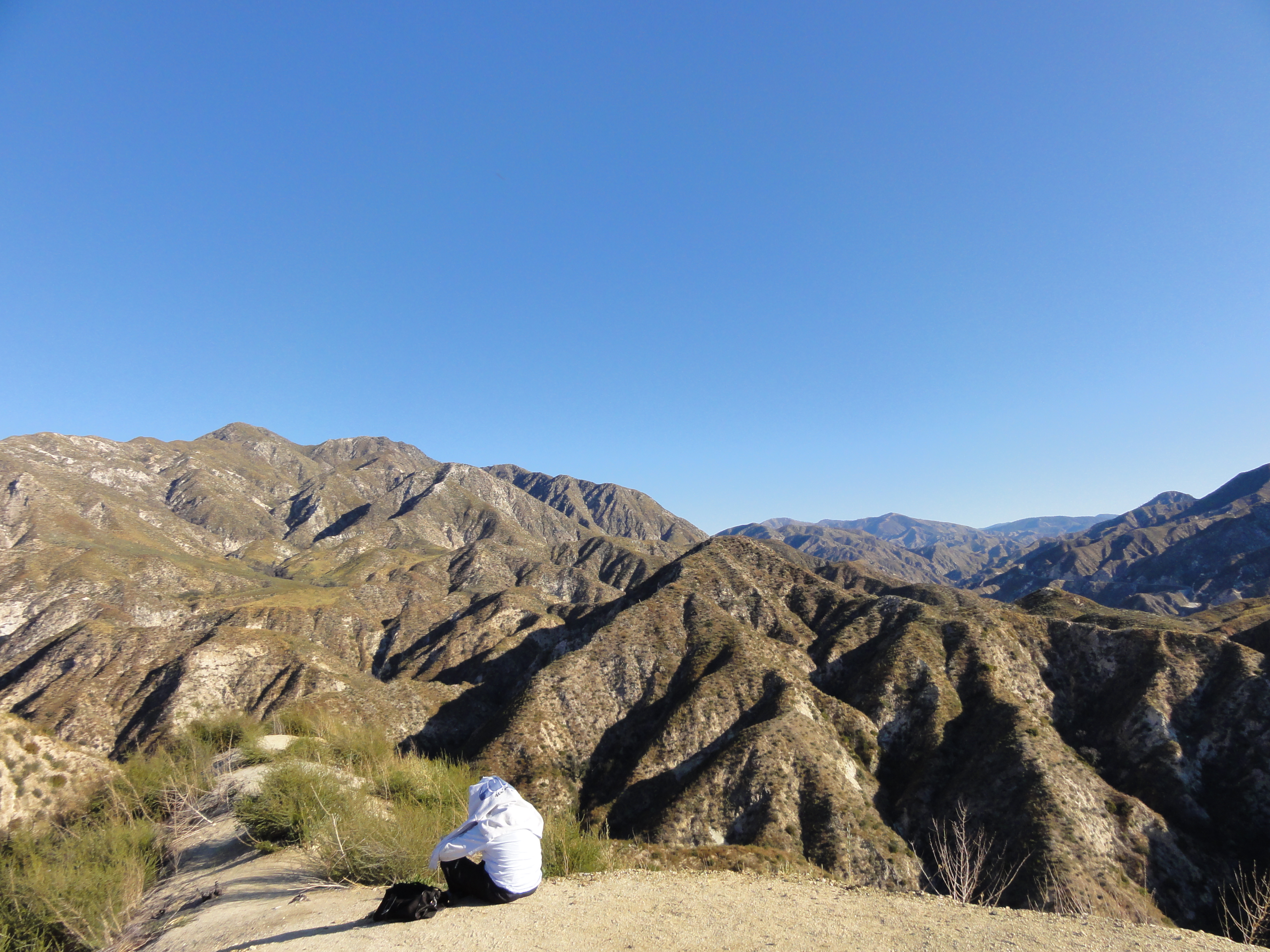
The trail ended on the little peak with a jaw-dropping view. I probably scared the crap out of this guy. I was probably the only other person around for miles in any direction.
8 
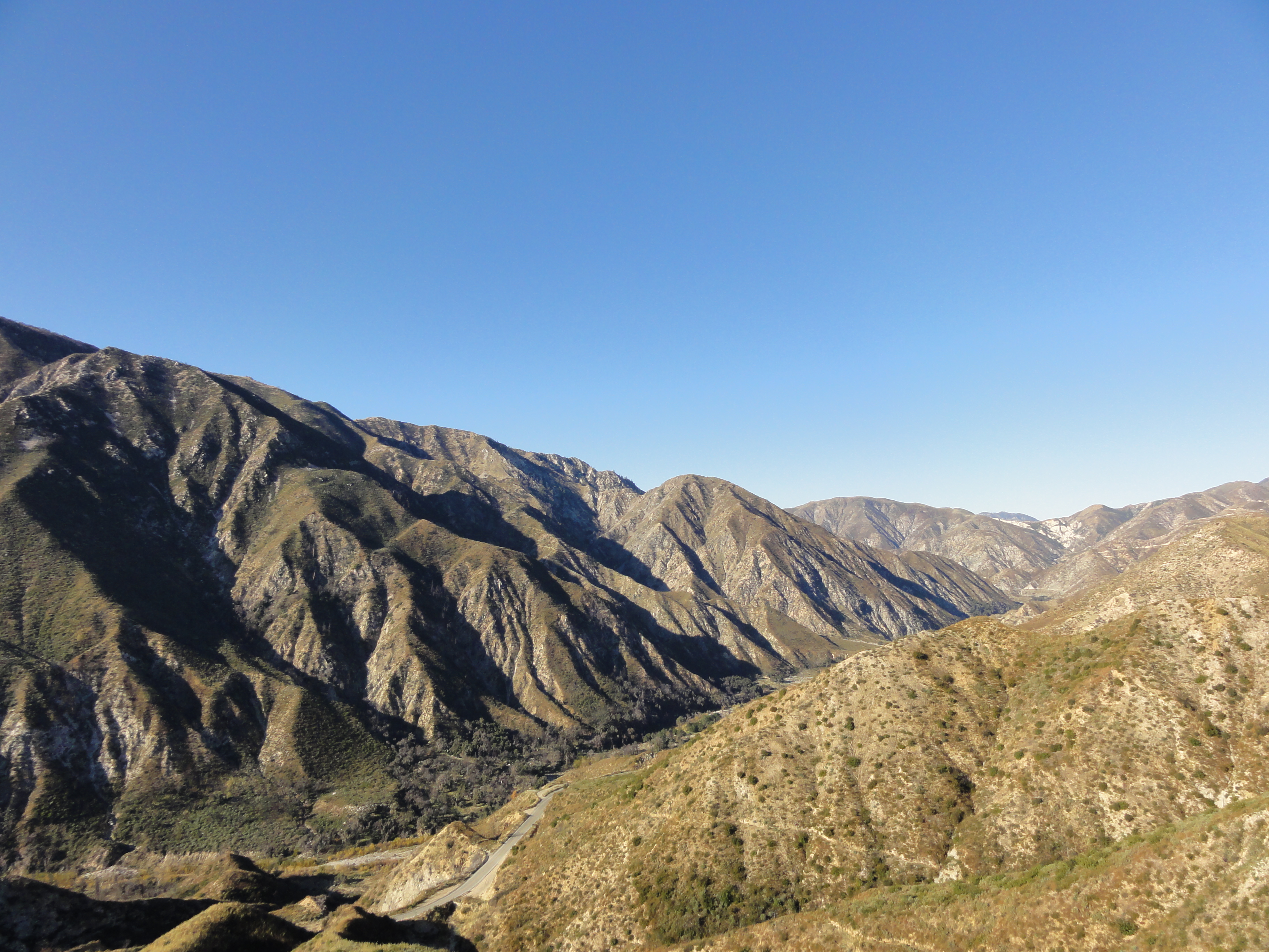
Big Tujunga Canyon is actually pretty amazing. Little canyons running into bigger canyons running into the main canyon. Another one of those "who knew this existed so close to home!?" spots.
9 
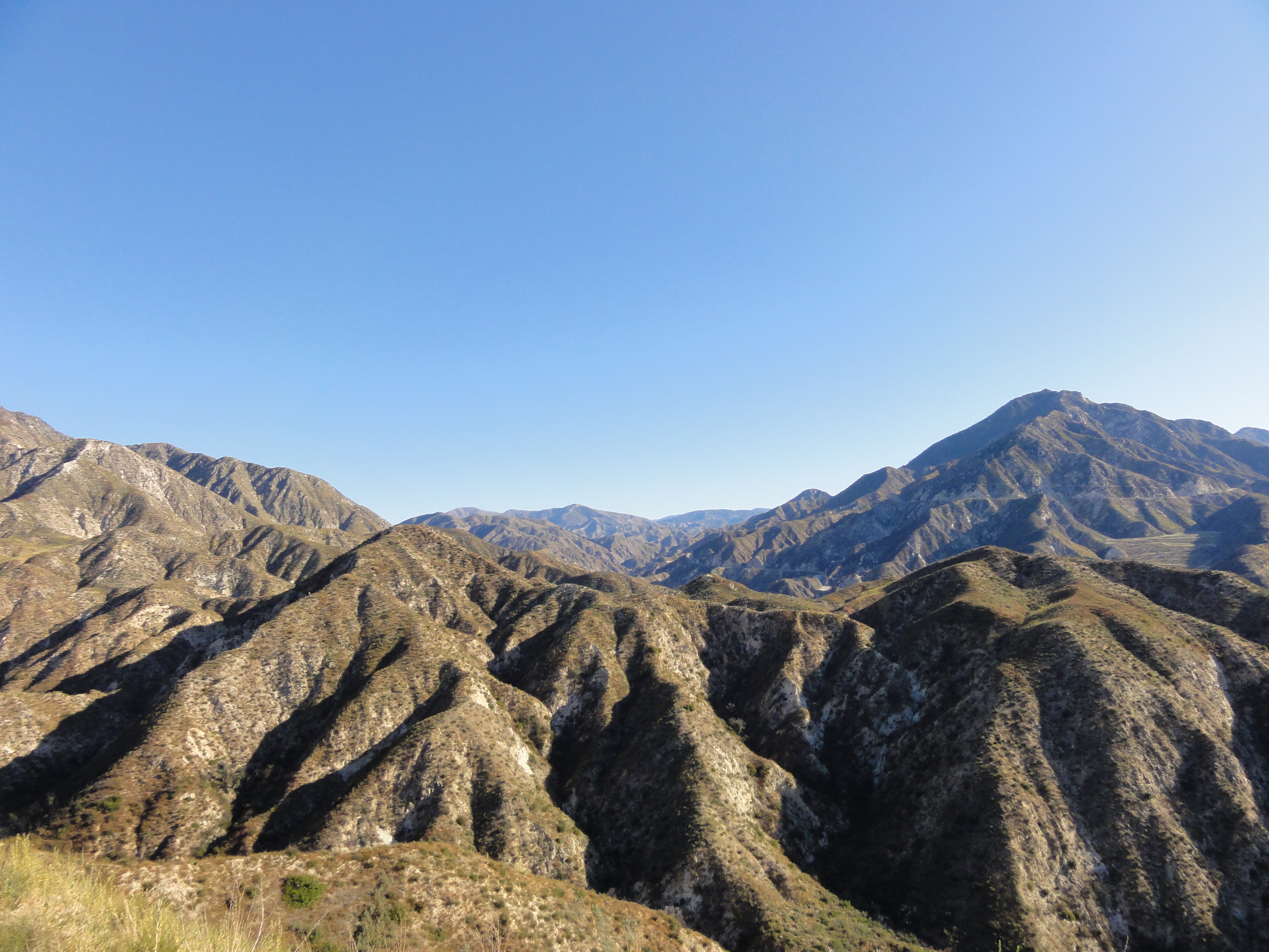
Chiseled canyons as far as the eye can see.
10 360 video from the mini-summit.
11 
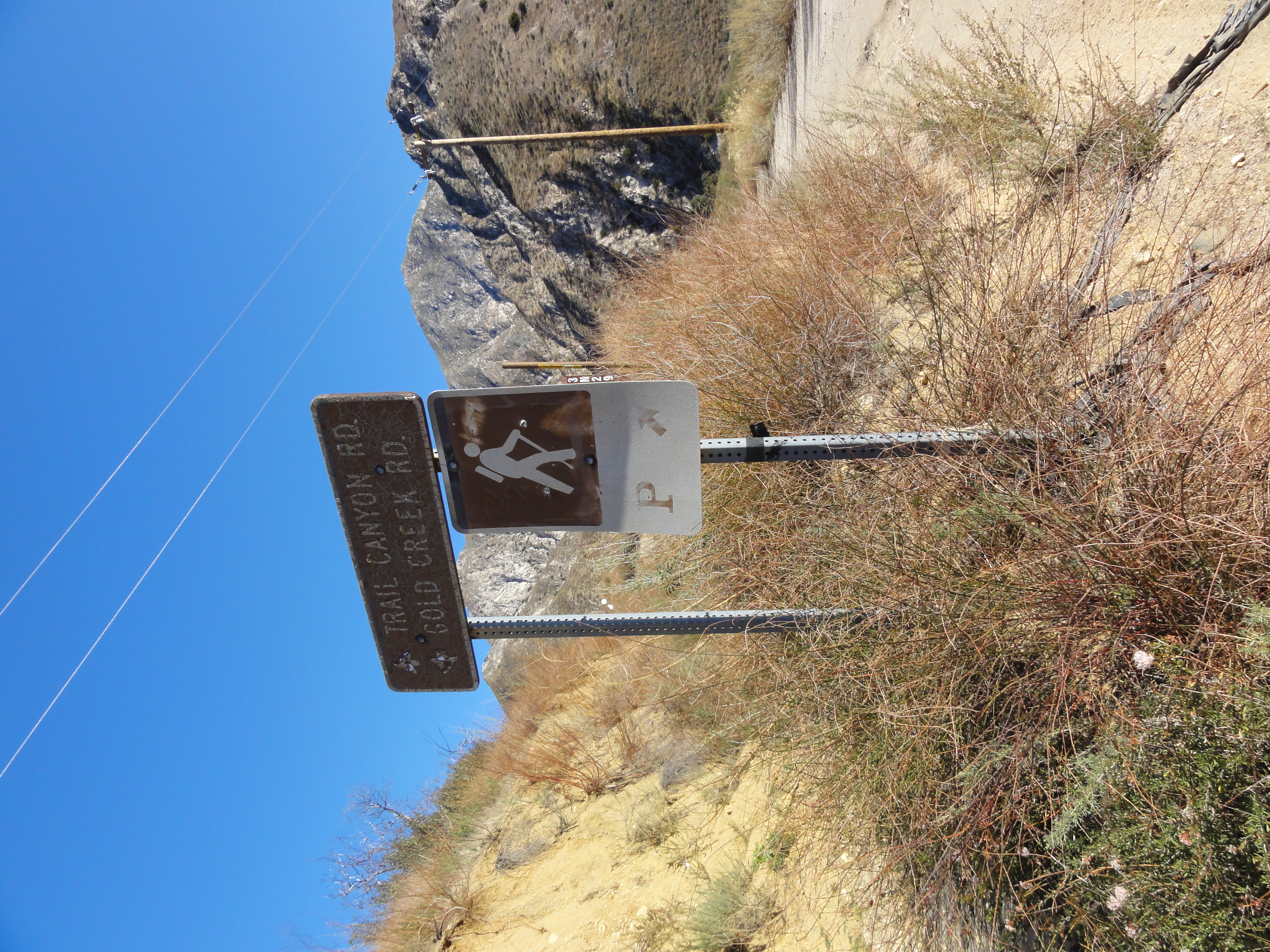
Since I was denied on my first attempt, I dediced to try a secondary trailhead that would still get me to Mount Gleason. I managed to find the other trailhead, fingers crossed it would be open...
12 
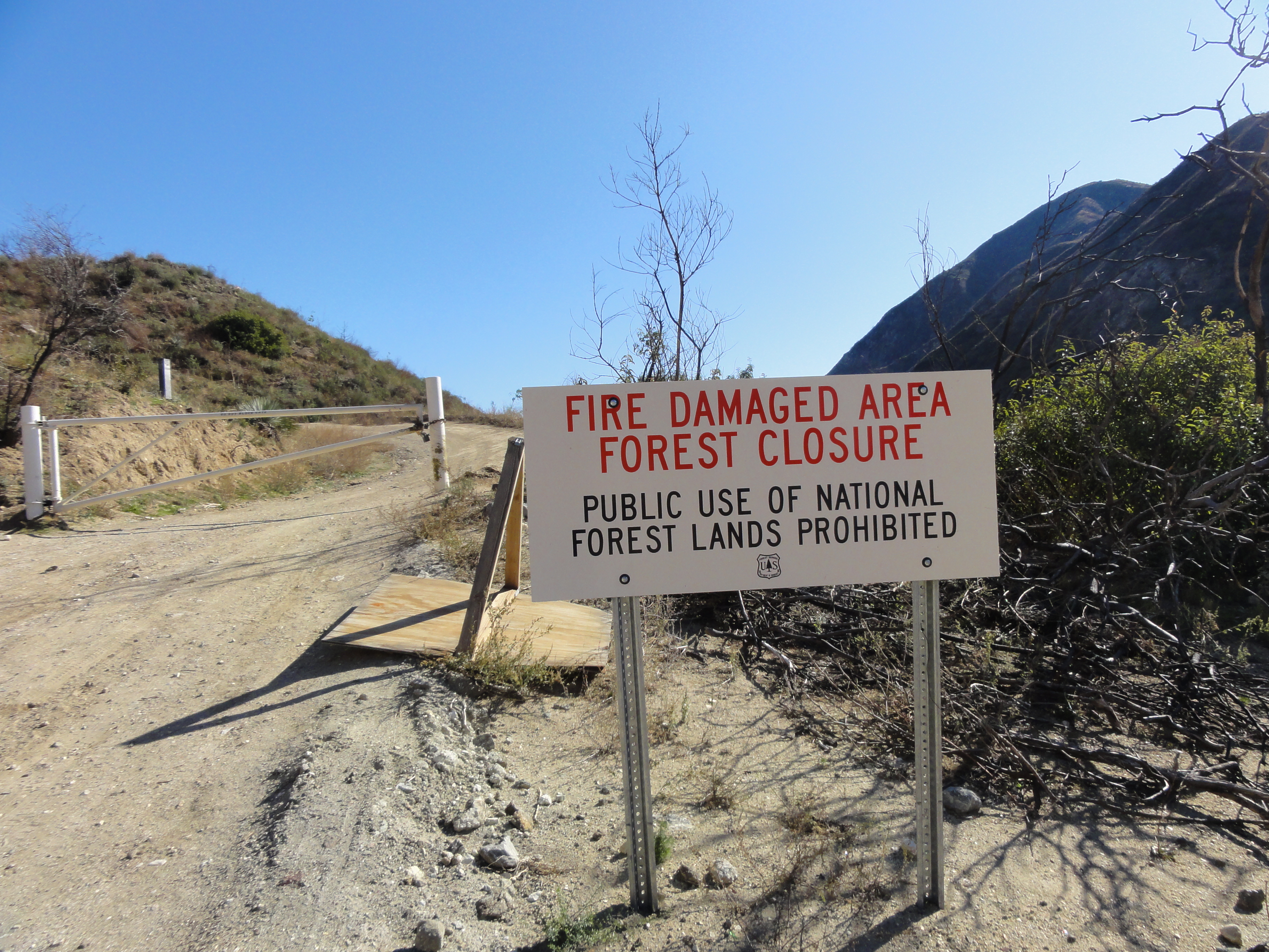
Are you kidding me?? Denied again. Of course, I had to at least have a look...
13 
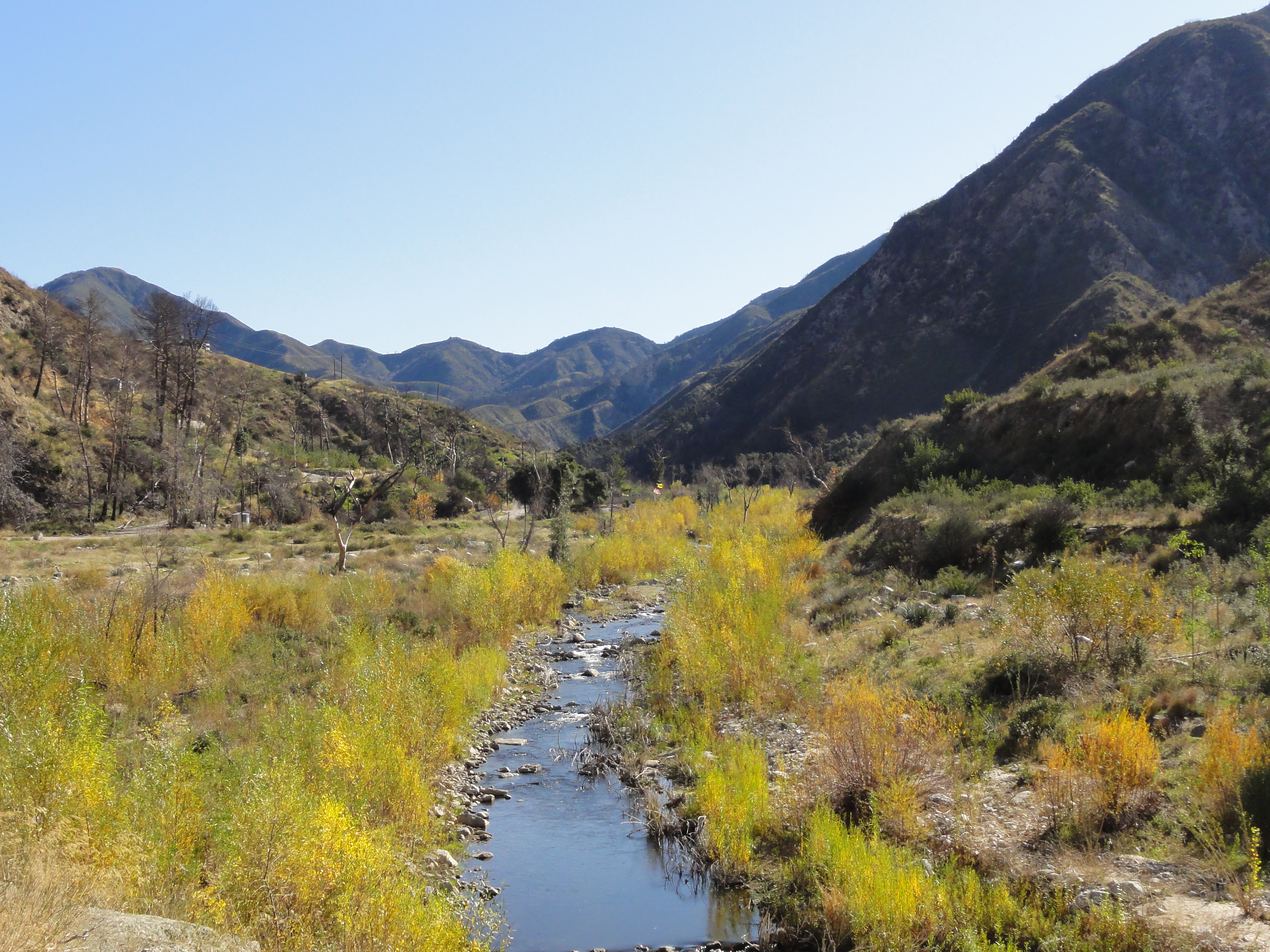
The single-track trail begins at the end of Trail Canyon Road. Conditions are looking good so far.
14 
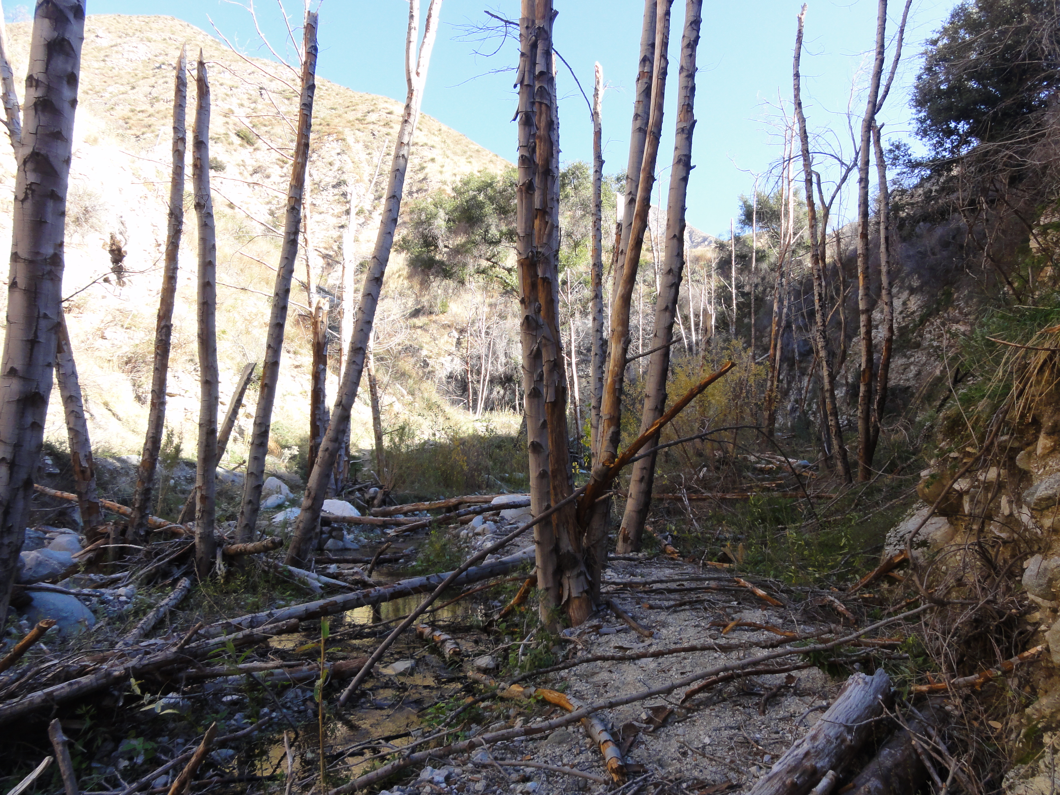
It's clear this area was devasted by floods and fire. Here is what looks like the remains of a footbridge across the creek.
15 
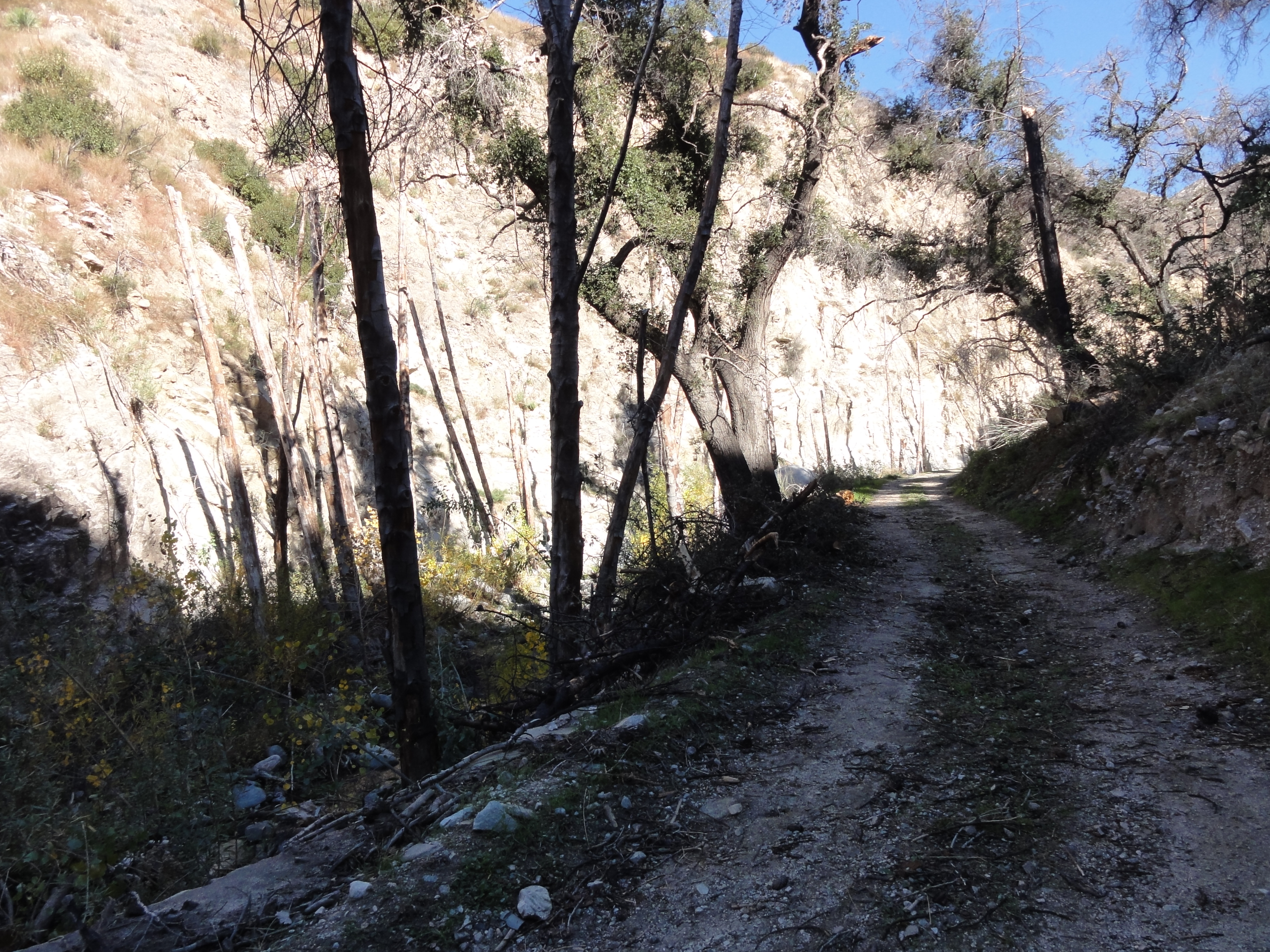
As soon as the fireroad ends, so does any semblance of a passable trail. It's a beautiful canyon though.
16 
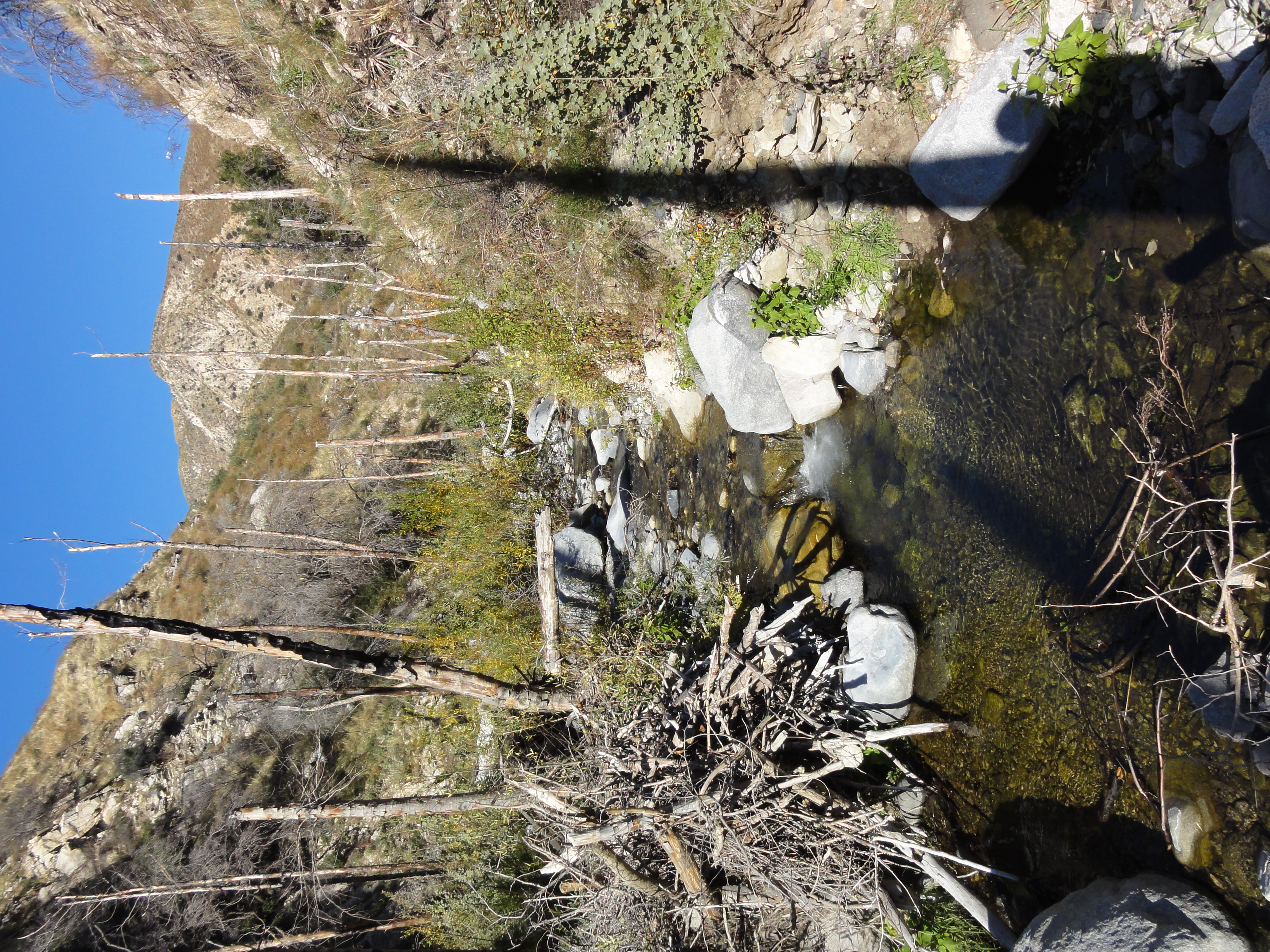
I knew the trail followed the creek, so I just made my way up the creek bed hopping back and forth across it and finding a few feet of old trail here and there.
17 
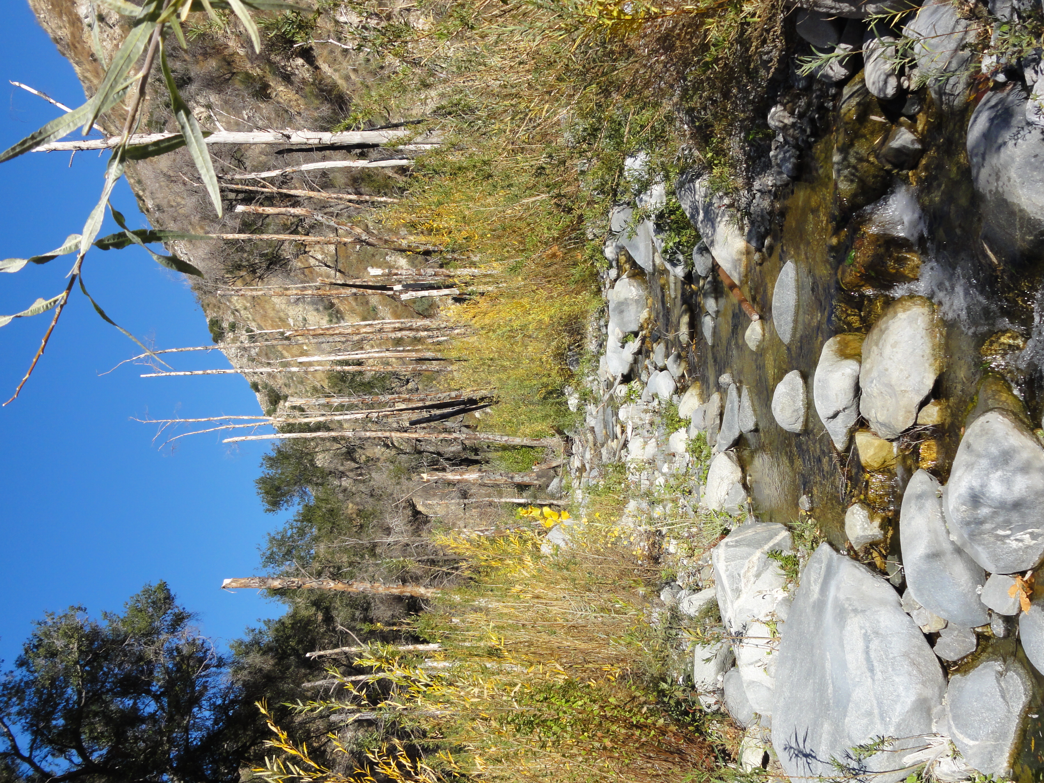
Hopefully they restore the trail here eventually, because it's a great area. But it will require a ton of work, and with limited funding, who knows if it will ever happen.
18 
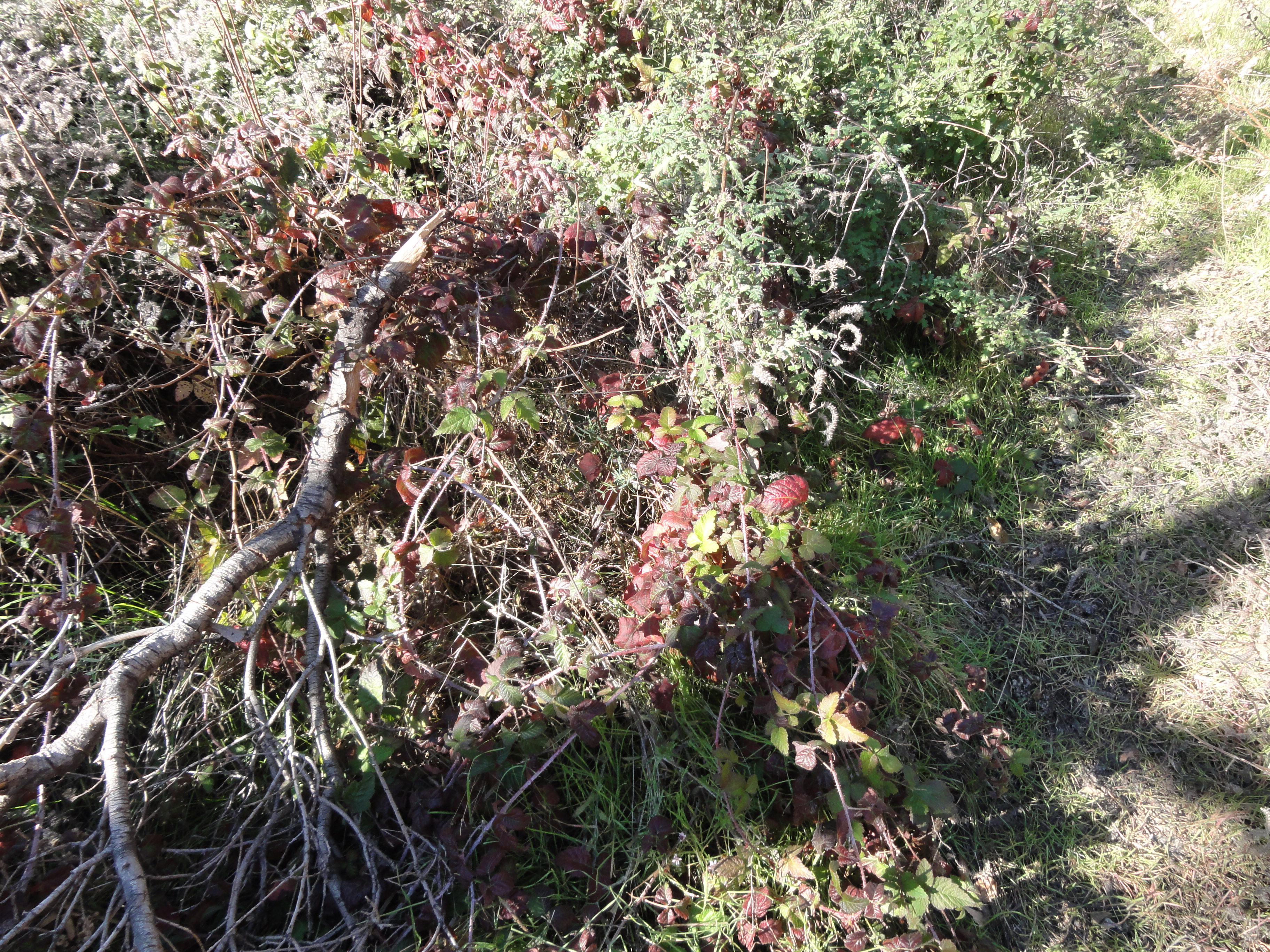
To make matters worse, there is a lot of Poison Oak. After today, I'm sure I'll either be itching head to toe, or will find out once and for all that I'm immune. At this point, I'm getting pretty tired of navigating the brush and creek. So I decide to head back and try to find a trail where I can actually do some running.
19 
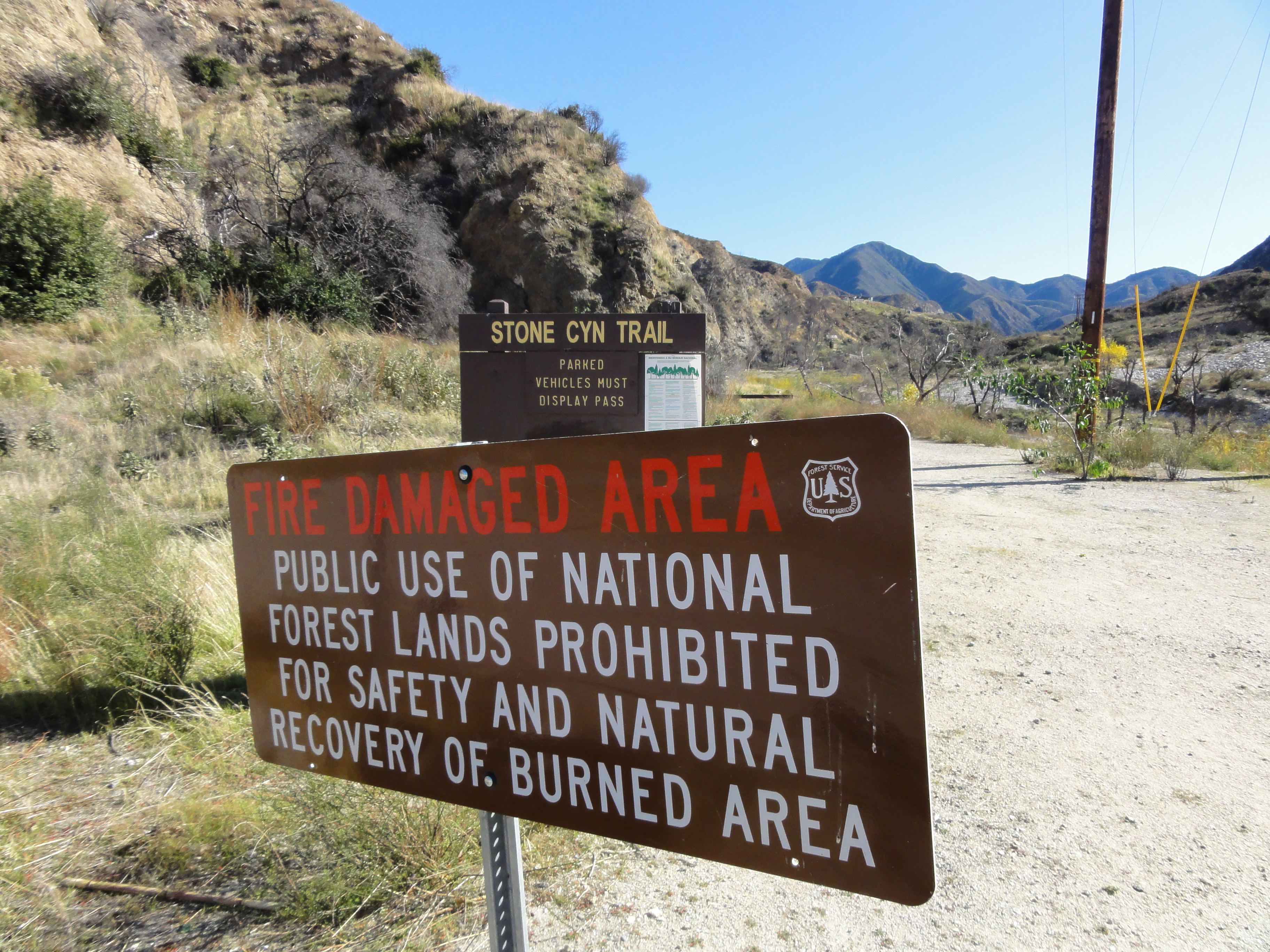
So I drive to the trailhead of the Stone Canyon Trail, which is South of Big Tunjunga Road at the Wildwood picnic area. Denied yet again! At this point, it's becoming clear that the entire canyon must be closed for fire recovery. The start of the trail is still clear here, with what look like fresh footprints, so let's see how this one goes...
20 It's a nice valley, and it must have really been nice before the fire burned through here.
21 There is a small road here that evidently used to have a row of houses. All that's left now are burnt out chimneys and a few brick walls. The Stone Canyon Trail disappeared, so I just followed the little road that headed towards Vogel Flats. There was one last trail to try there. Pretty much the last trailhead in the canyon.
22 Denied yet again.
23 I poked around the Grizzly Flat Trail for a bit. Nice area, but definitely not runnable.
24 I stopped in at the Big Tujunga fire station and asked if there were any trailheads open nearby. The guy there said no, the entire canyon was closed due to the fire, and the nearest open trailhead was Switzers (about a 20-30min drive East). So off I drove off to Switzers, at least to scout out the trailhead for future use.
25 Switzers has a short, very popular, 1.5 mile trail that heads out to a little waterfall. It was crowded, but at least it was followable. It felt good to actually be able to run a bit.
26 Lots of great stream crossings with some balance beam logs. Good thing I was wearing my super grippy Salamon SpeedCross 3s.
27 The upper (big) portion of Switzer Falls. It looks like it's easily a couple hundred feet tall.
28 More great canyon country back here.
29 Made it to the juntion with the Gabrieleno Trail. This is a well known, really long loop trail around the Mt. Wilson area. It's pretty popular, so I figured the route out to Oakwide must be open...
30 Or not. Another closed trail. Last trail opportunity for the day is to head the other direction towards the Bear Canyon Trail.
31 The trail heads down to the bottom of the valley. This is actually the Switzer Falls that's accesible from the trail. A lot smaller, but still nice.
32 Here's a look at the double falls from above after I scrambled up the rocks.
33 There is no official trail above the falls, but it was clear people head back here hoping to get all the way to the base of the big waterfall. I followed for a ways and then turned around.
34 Doesn't look Bear Canyon will be runnable either. Another beautiful canyon with a completely washed out trail. There are short stetches of visible trail and then it basically becomes rock hopping back and forth across the creek.
35 A look down Little Bear Canyon, which branches out from Bear Canyon.
36 Found the Bear Canyon trailhead, though the trail dissapears again shortly past this point.
37 Everything is torn-up. The water raging through here in the Spring floods this year must have been amazing.
38 When the trail does appear, it's awesome single track. If only it was like this the entire way.
39 A nice section of trail with the creek cascading down alongside it.
40 Lots of little cascades and falls along the trail.
41 Another great cascade/mini-waterfall.
42 Another mini-waterfall.
43 Nice stream view.
44 I was growing tired of navigating through and around this sort of stuff, and it was just about my turnaround time, so I decided to call it a day and head back.
45 Back to the Switzer Falls trail. I took the short detour to the top of the big falls. You can't really see the falls, and I didn't want to get too much closer to the edge. So back to the car, and another day on the trails complete.
46 Heading back down Angeles Crest Highway just before sunset. You can see downtown LA and the ocean in the distance. Although it was a frustrating day, I did manage to accumulate about 20 miles, and some decent elevation gain, between the six different trails that I tried.