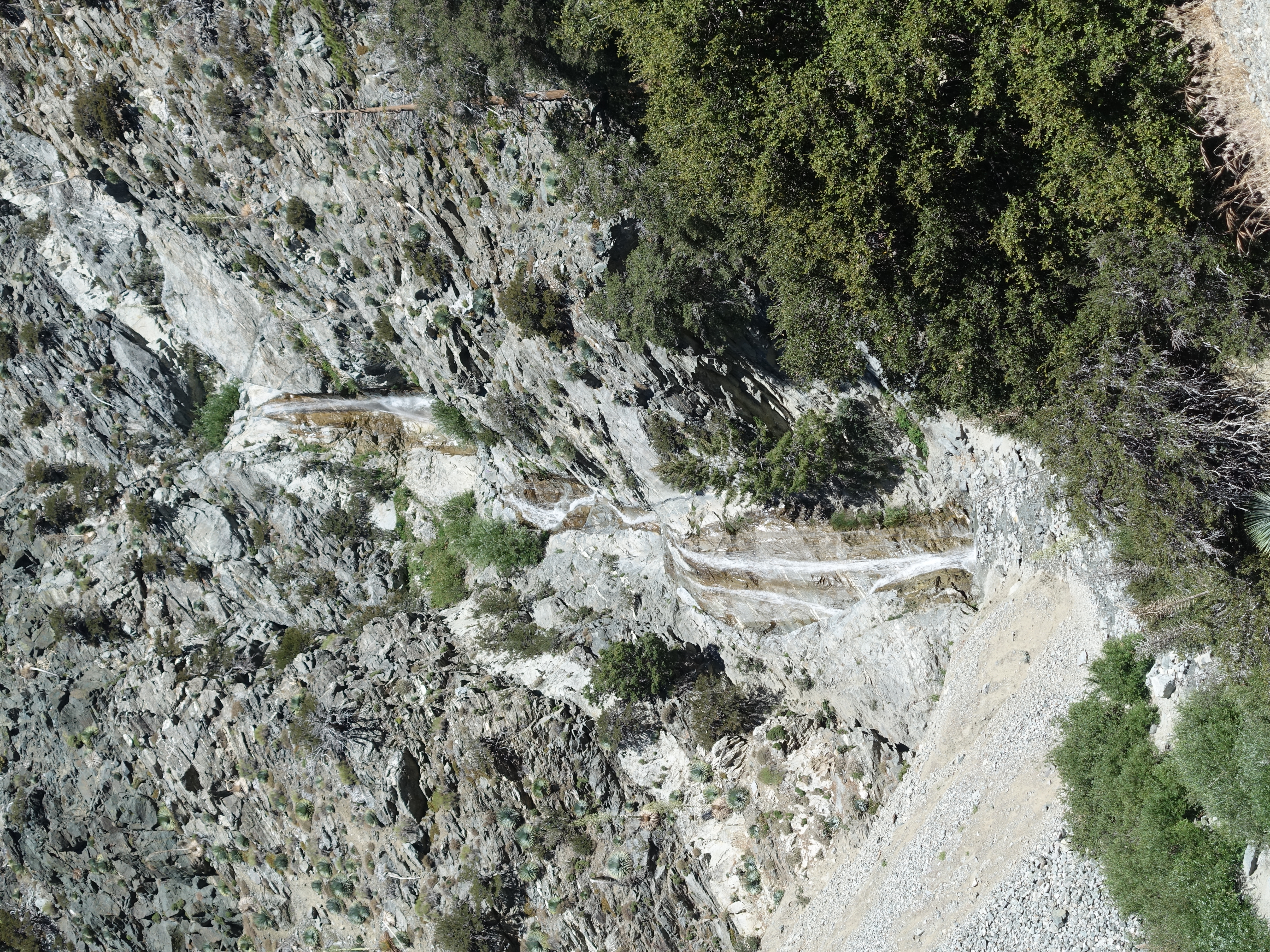
The customary San Antonio Falls shot to start the day. There was still pretty good water flow. The start of the Baldy Bowl trail is easy to miss if you're not…
Finally back on the trail and heading up Register Ridge.

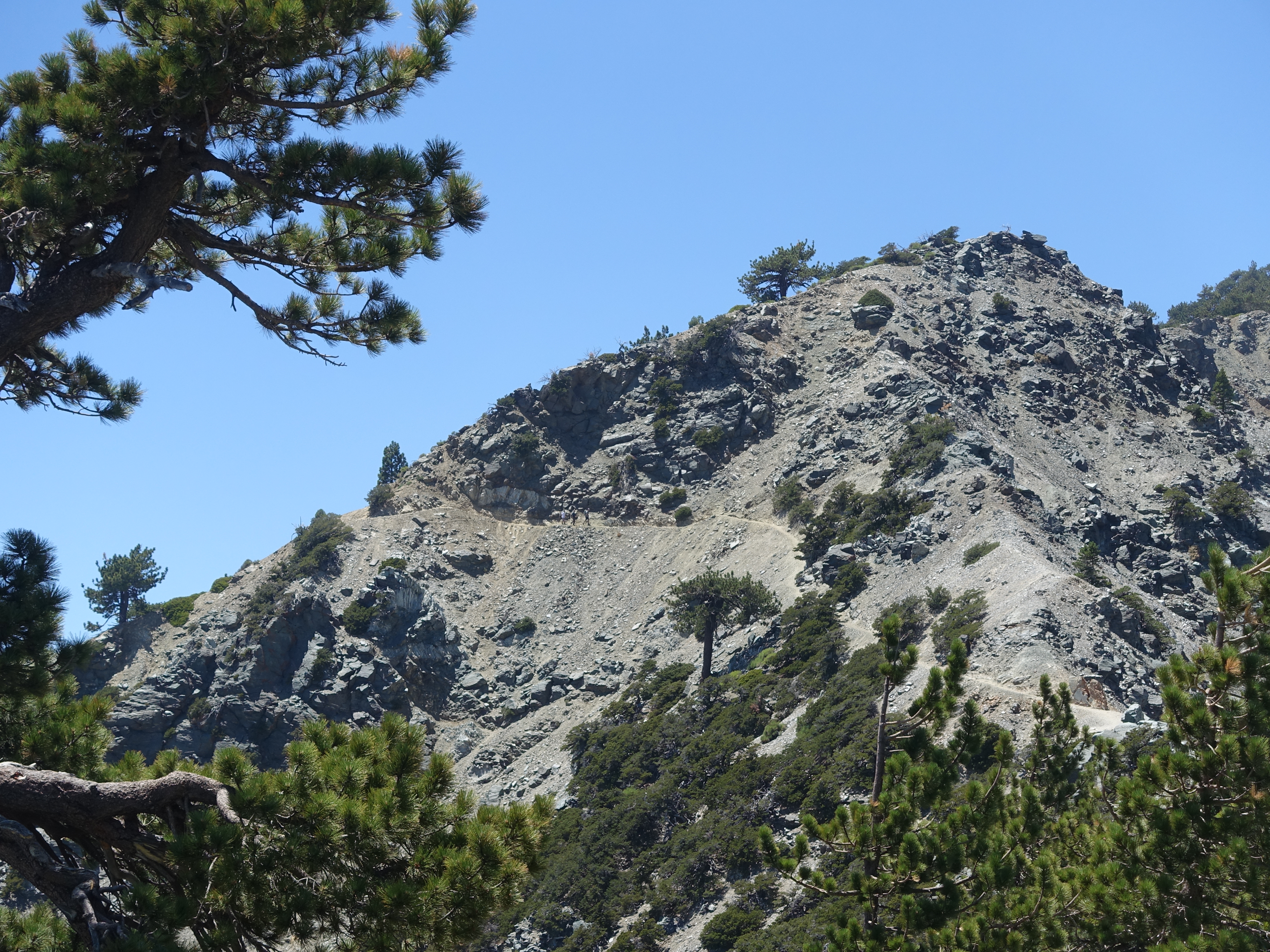
A typical section of "trail" on Register Ridge. 2,700' of gain in 1.4 miles. The toughest 1.4 miles in SoCal. Thank goodness it isn't any longer.
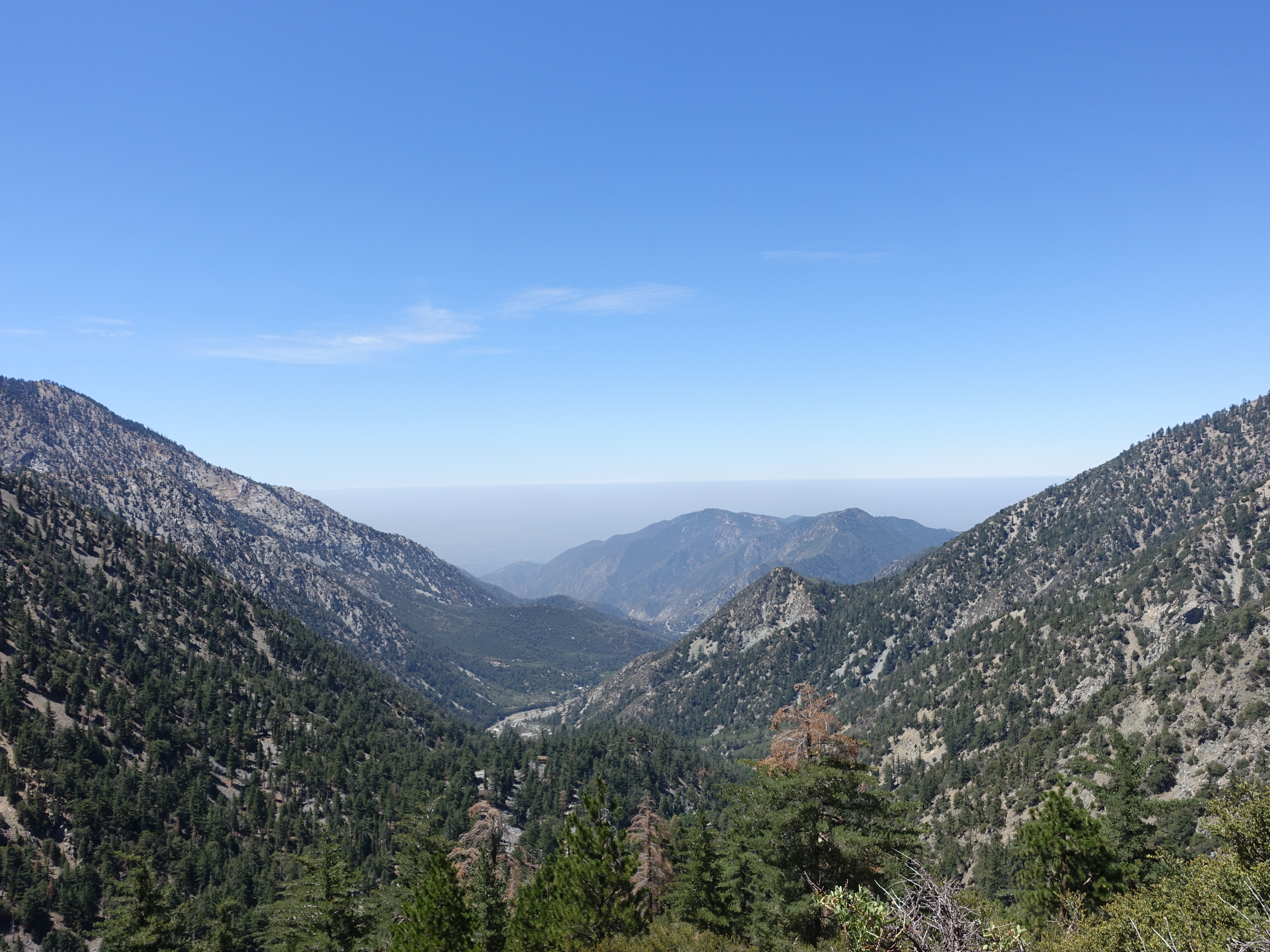
A look at Baldy Bowl and the Ski Hut in the distance. My goal for the day was to be able to hike the fun part of the Backbone trail without having to suffer…
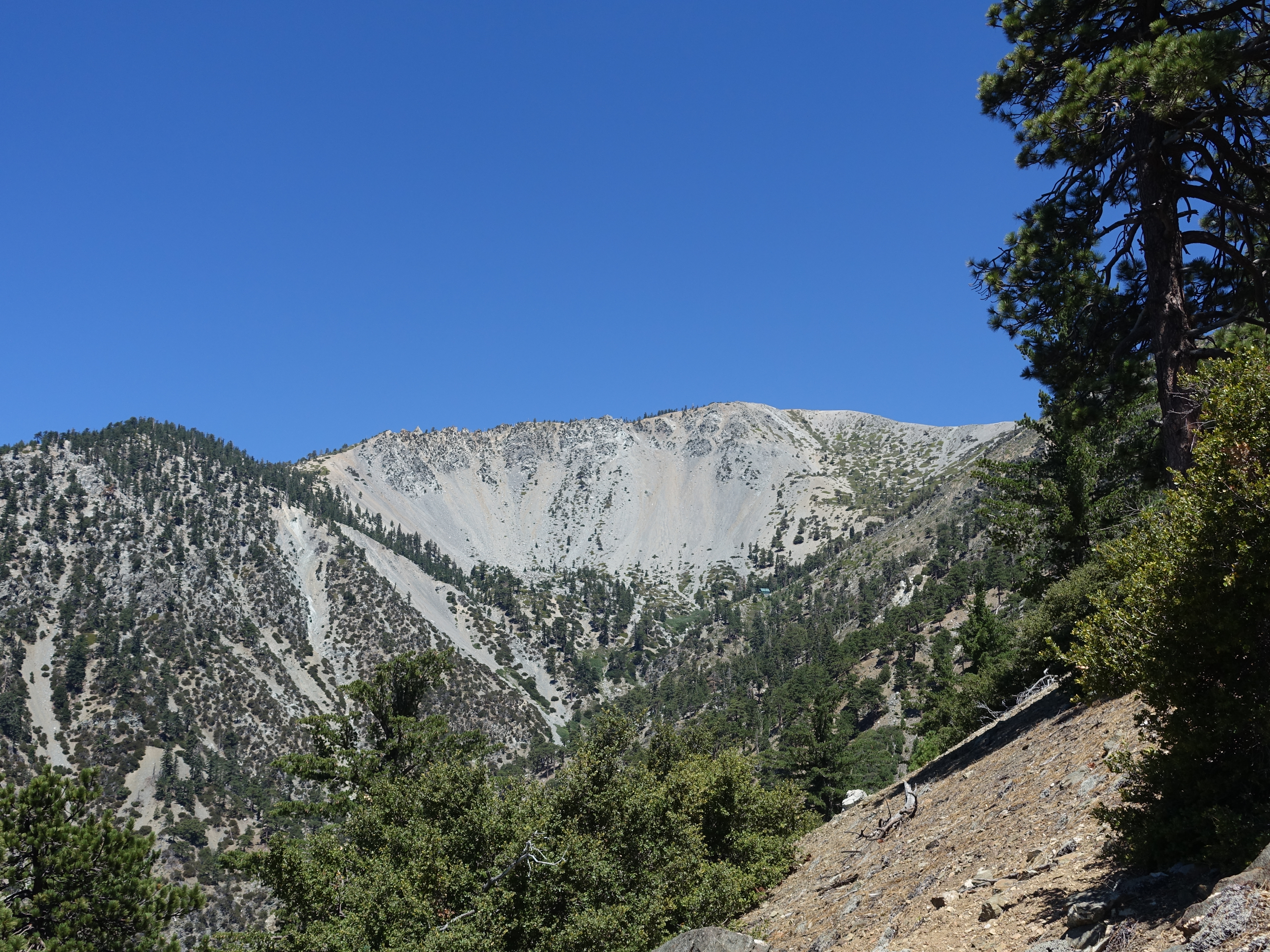
Looking across at Baldy Notch and the ski lodge at the top of the lifts.

Made it up to the Backbone Trail at 9,300'. There are some epic dropoffs here. My plan was to hike back to the ski boundary, though I wasn't sure exactly what…

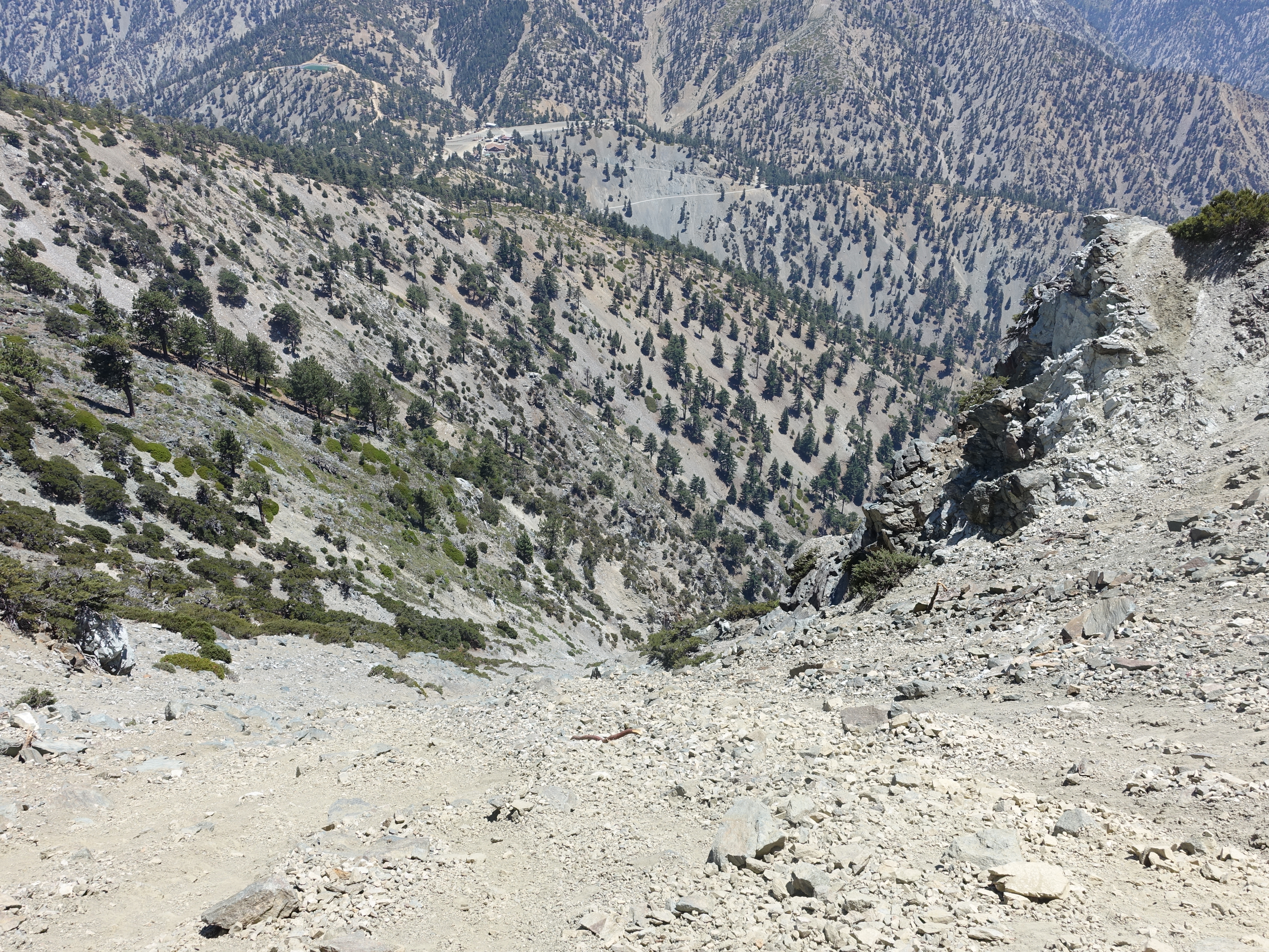
The view down the other side of the Backbone.
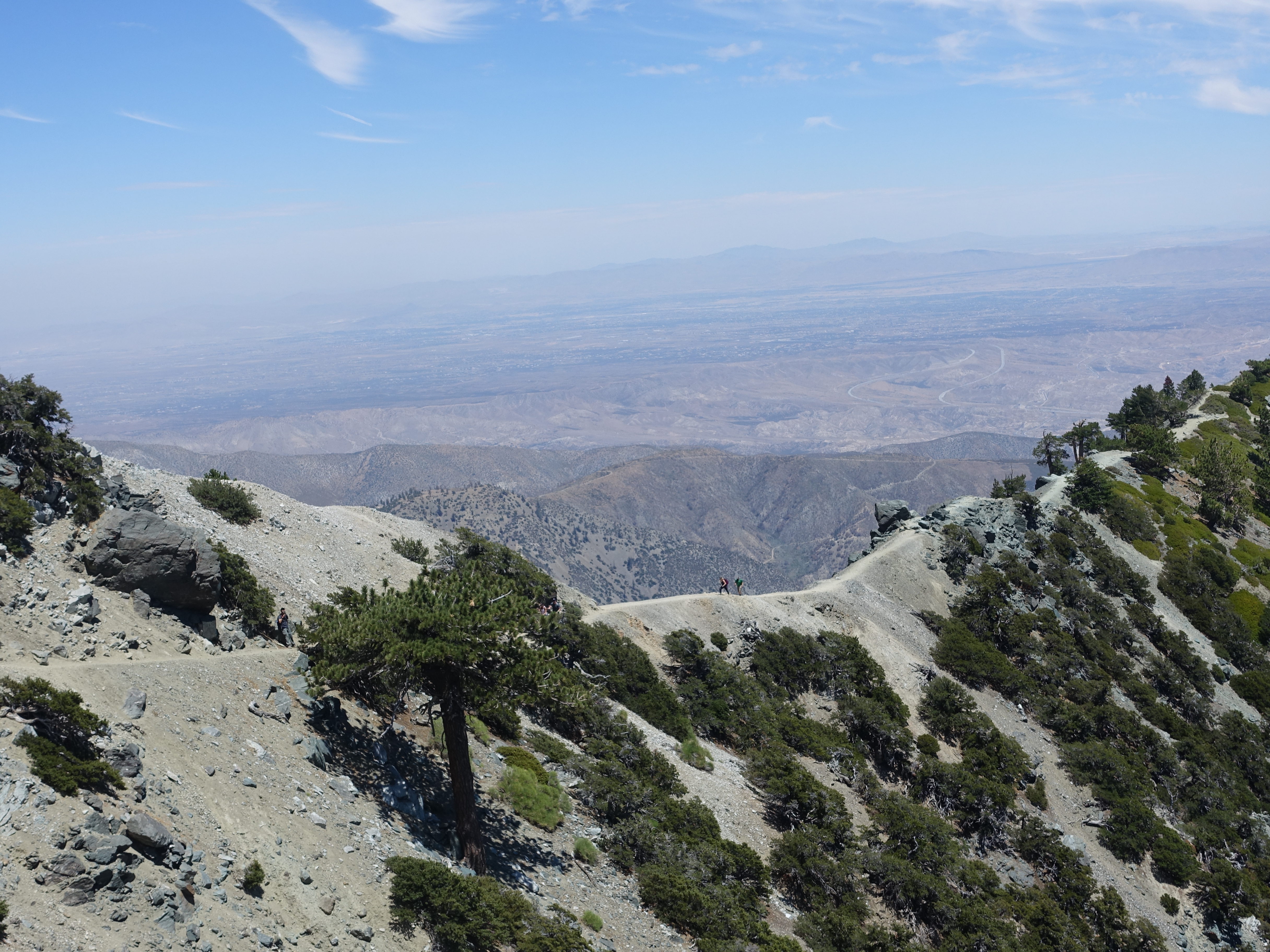
A couple people coming up the Backbone Trail. It's about as distinct a ridge as you will find anywhere in SoCal.
Me walking where the people were in the previous photo.
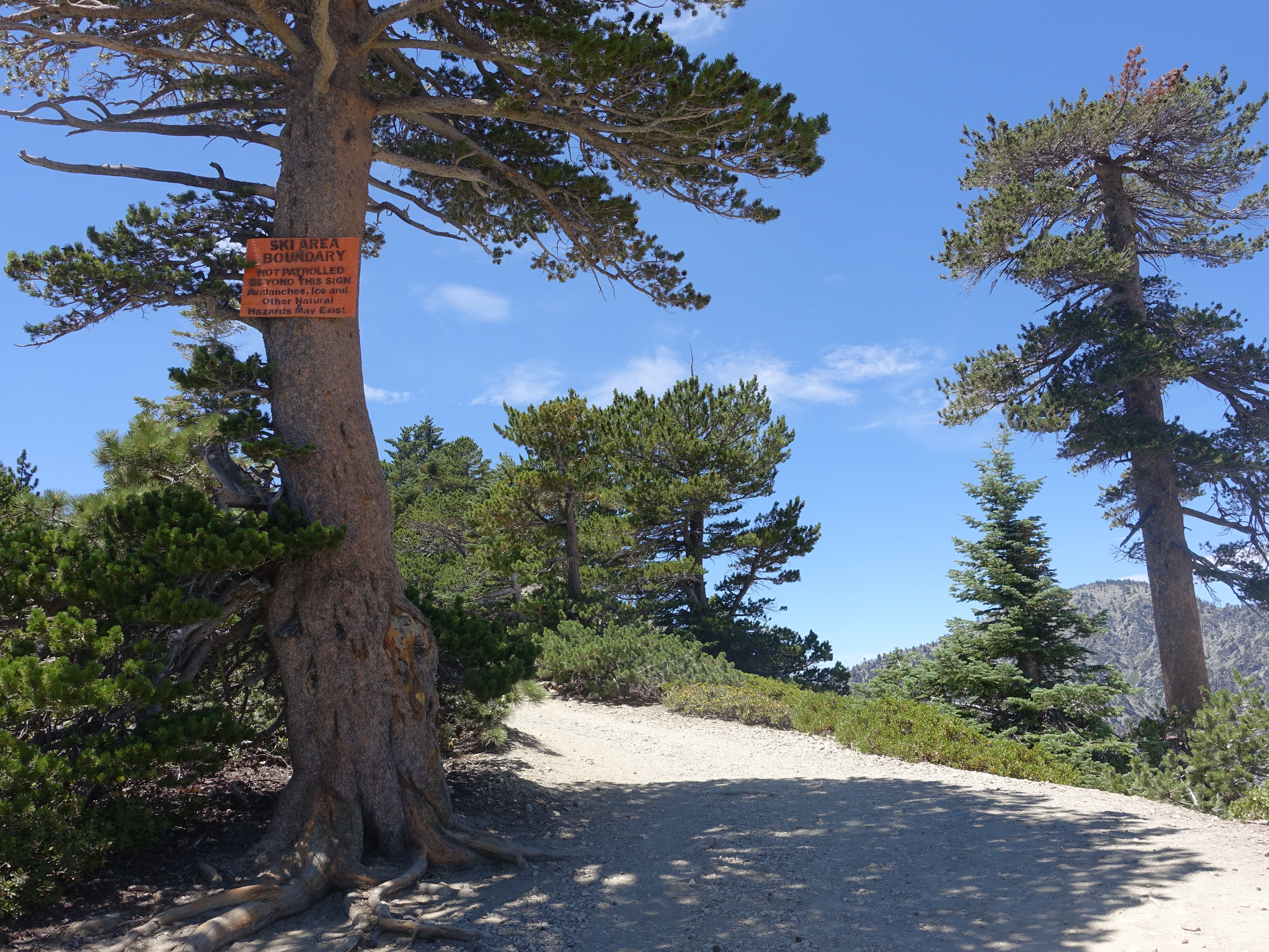
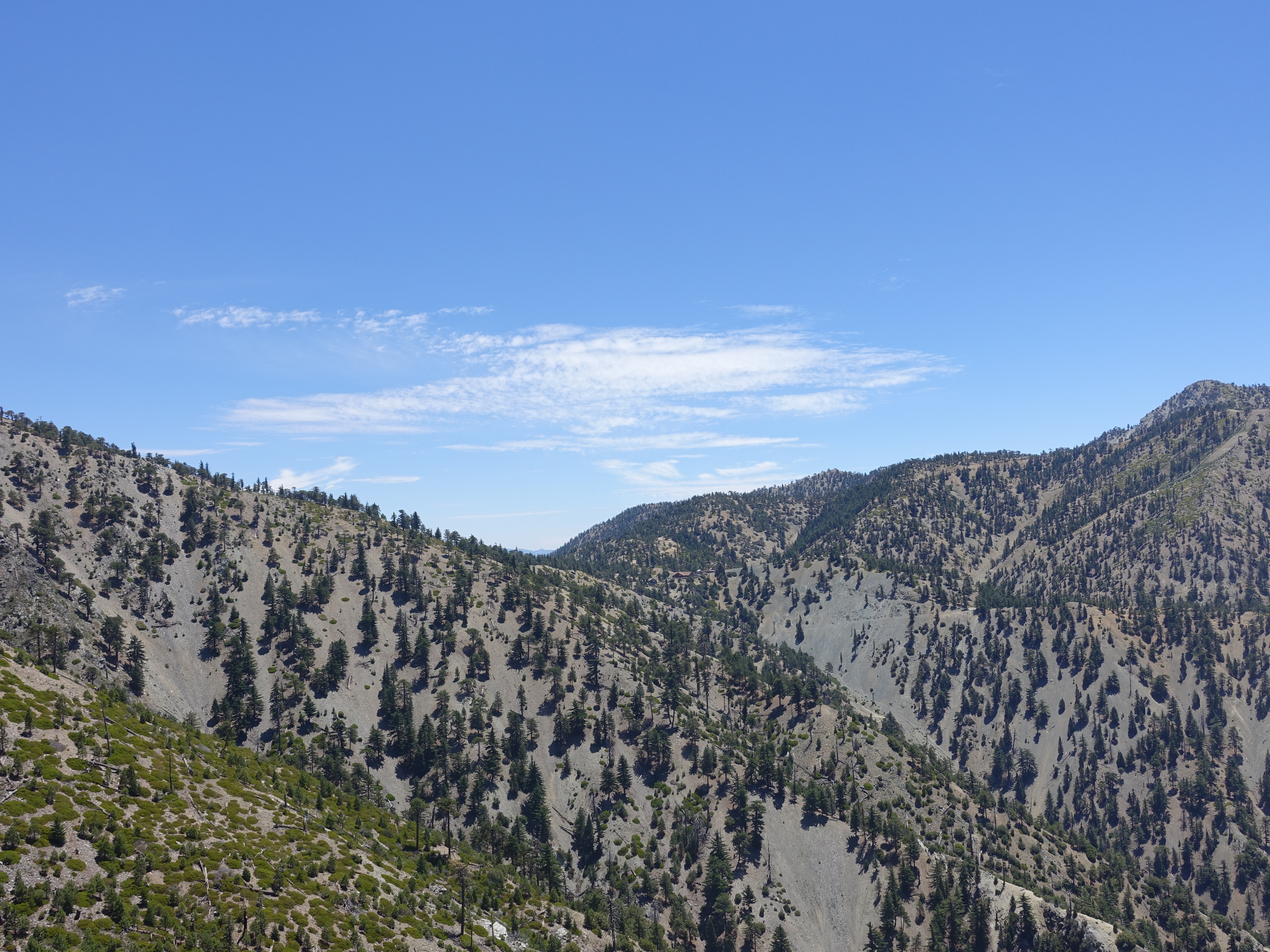
Made it back to the ski boundary. It would end up adding 2 miles and 700' gain to the total trip, but well worth it for all the fun of the Backbone Trail with…
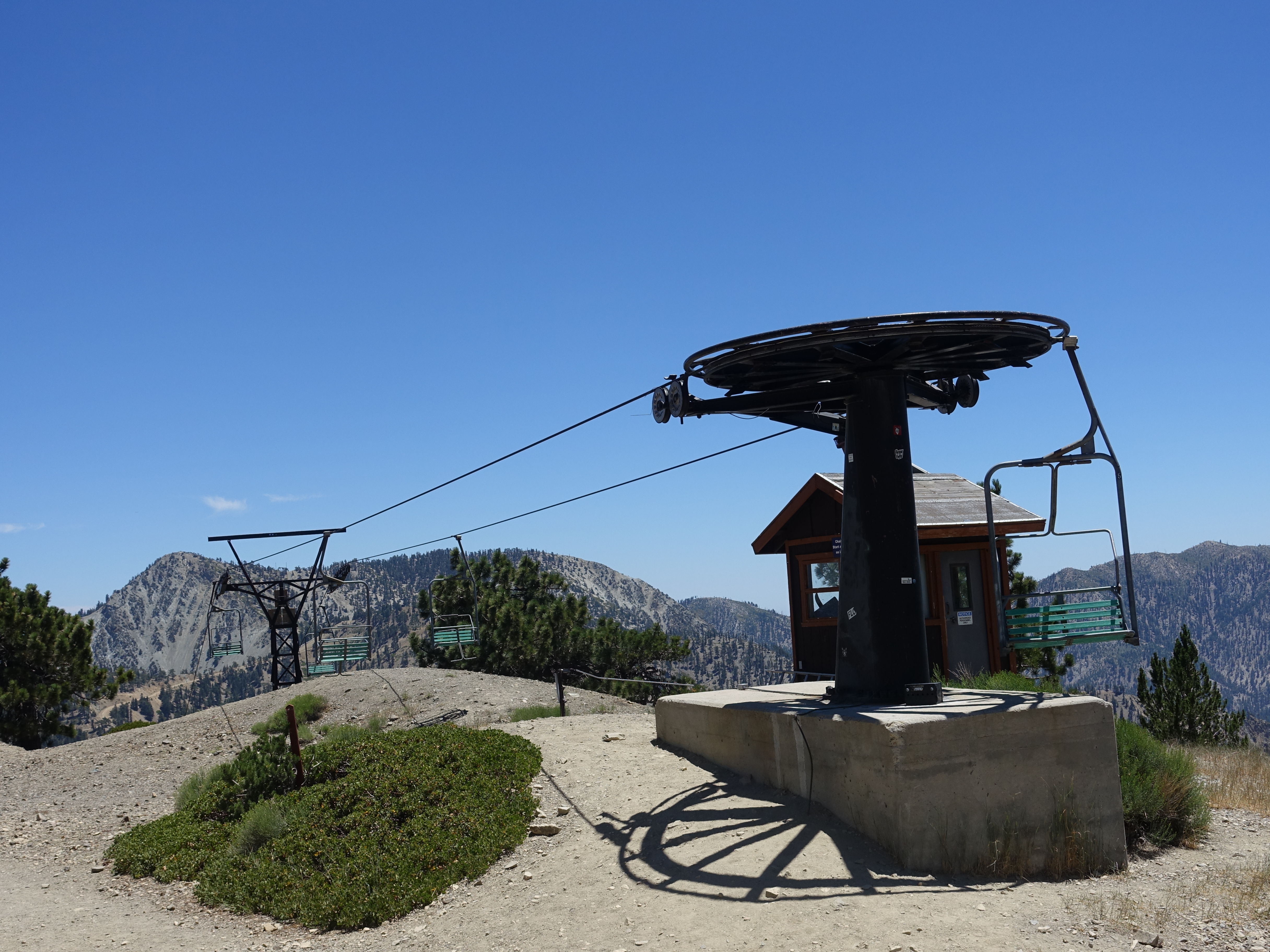
The topmost ski lift where the singletrack begins.

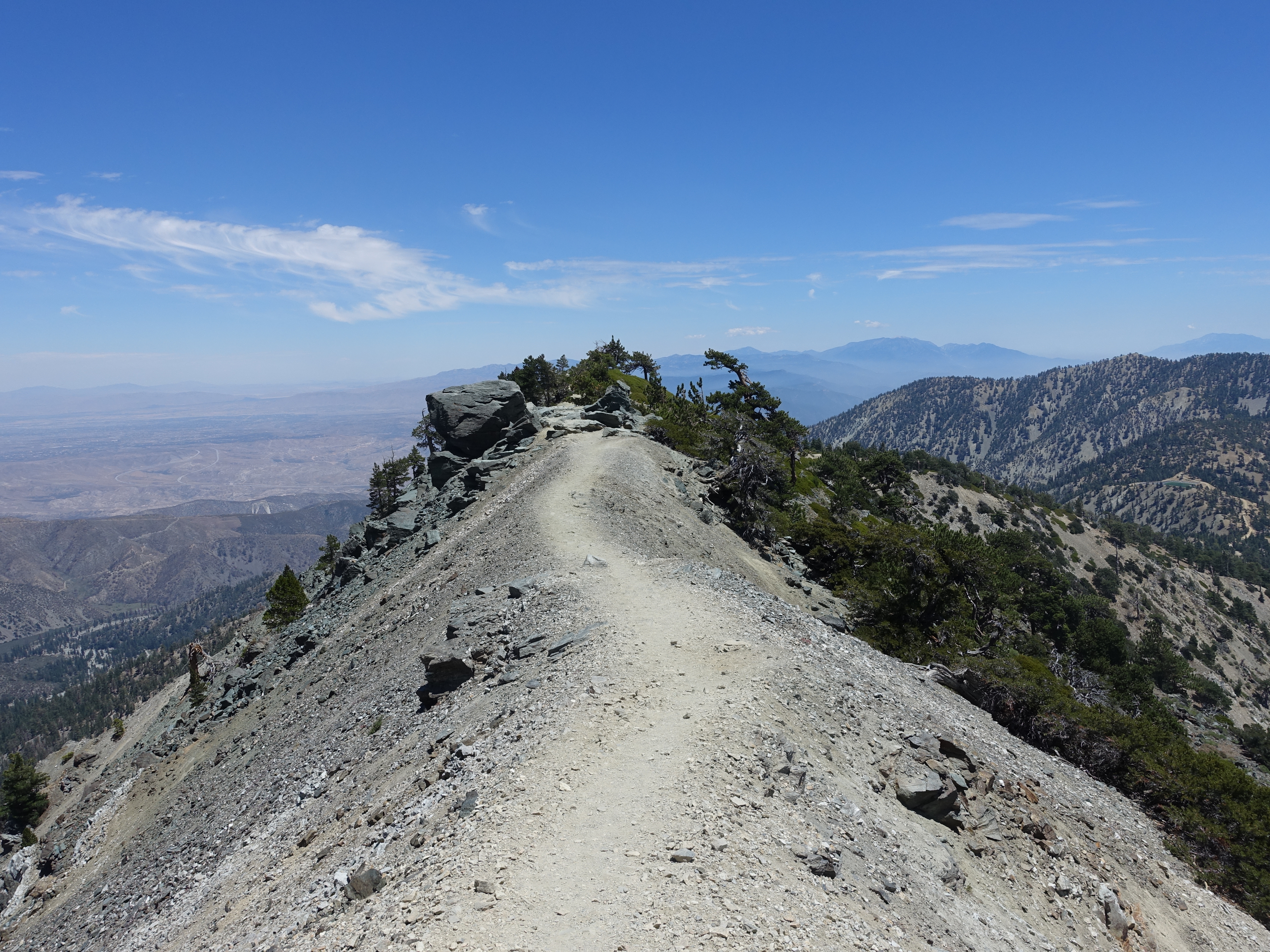
Turning around and heading back up the Backbone now. You can see the trail on the right, and then the dicey portion further back across the ledge on the left.

Up the spine.
Two people crossing the ledge. A fall there is death any time of the year, and there are deaths almost every year. There were two last winter. Inexperienced…
Me on the ledge looking down. It didn't bother me as much as the first time I was here, but it's still tough to look down here. I noticed that most people…
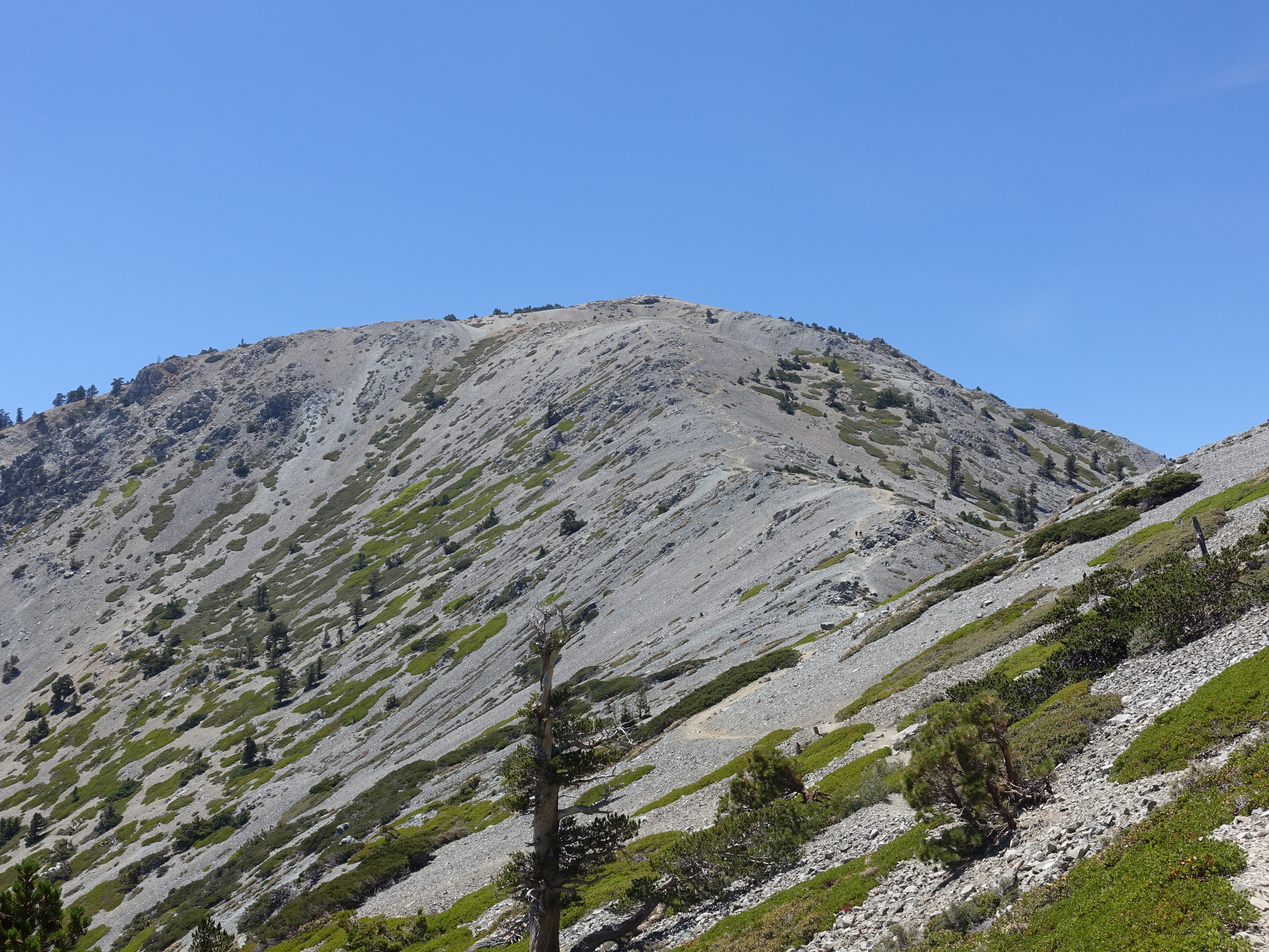
Now past where I had come up Register Ridge and ready to finish the summit. You can see the trail winding it's way to the top. It's a bit like Half Dome where…
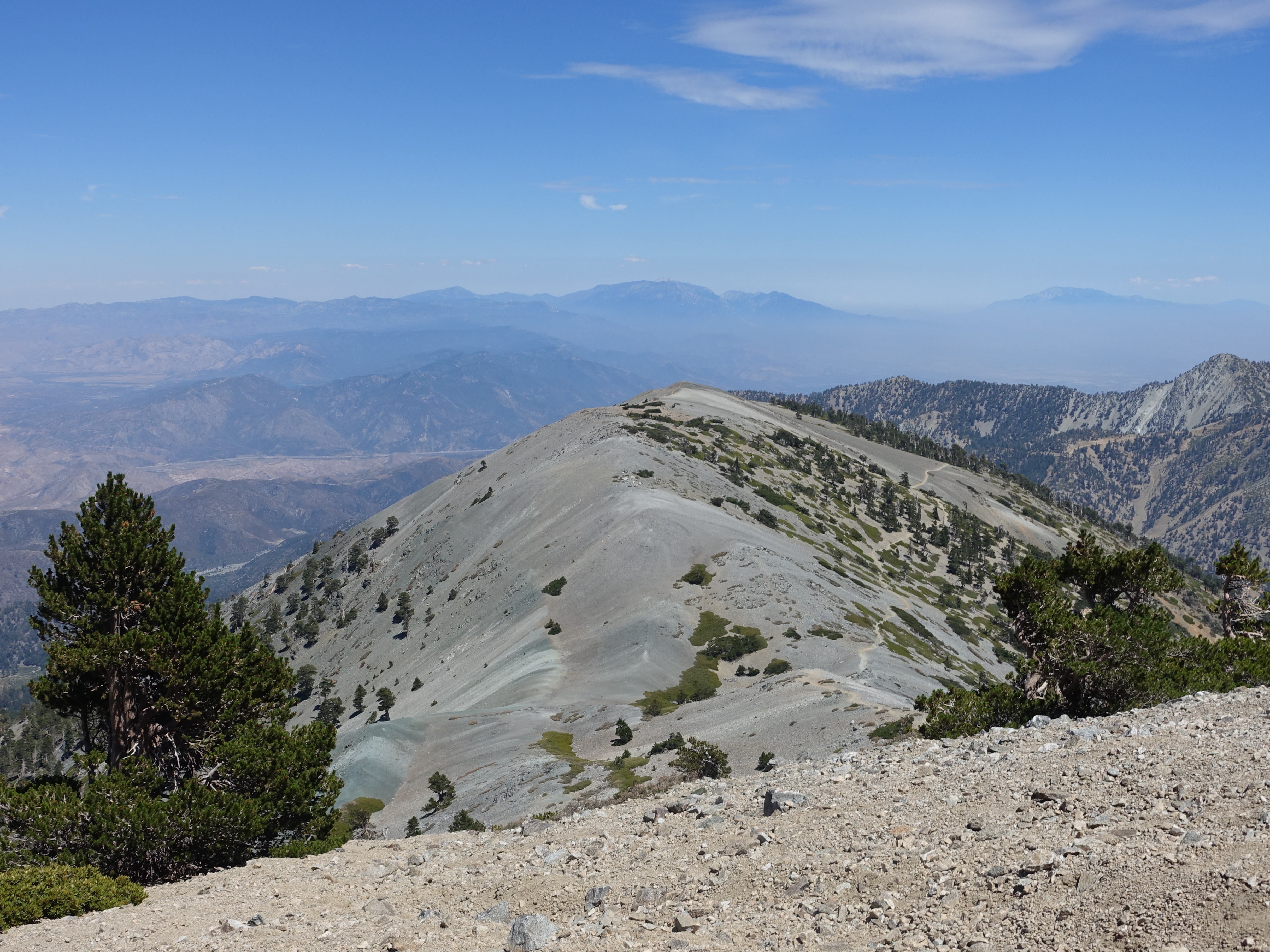
About half way up looking back down at the trail and Mt. Harwood.

A new sign that will hopefully help make sure people head down the right trail and don't end-up at the ranger station instead of Manker Flats!

Made it to the top! Ironically, I had the most time alone on this summit, which is normally by far the busiest of the three.

Mt. Baden-Powell to the North.