12/19/09 19 miles, 6000ft. elevation gain, 80% of the trail covered in snow and ice, the last couple miles in complete darkness, not a single human. Another fun day!
1 Another hiking trip in the snow, except this time a little better prepared. I learned from my mistakes on the Mt. Baldy snow hike, and am now fully stocked on cold weather gear! GPS, super gloves, waterproof trail running shoes, trekking poles, lightweight crampons, even taking a compass class. If I don't make the summit today, it won't be for lack of preparation! And I will need it, because this will turn out to be my most challenging (dumb?) adventure yet.
I wake-up at 4:15am, I'm out the door by 4:45am, reach Idyllwild around 7:00am, get my hiking permit, prep my gear, and I'm on the trail at 7:30am. It's sunny and about 44 degrees. Deer Springs is the most popular route to the summit, and I won't see a single human the entire day!
2 
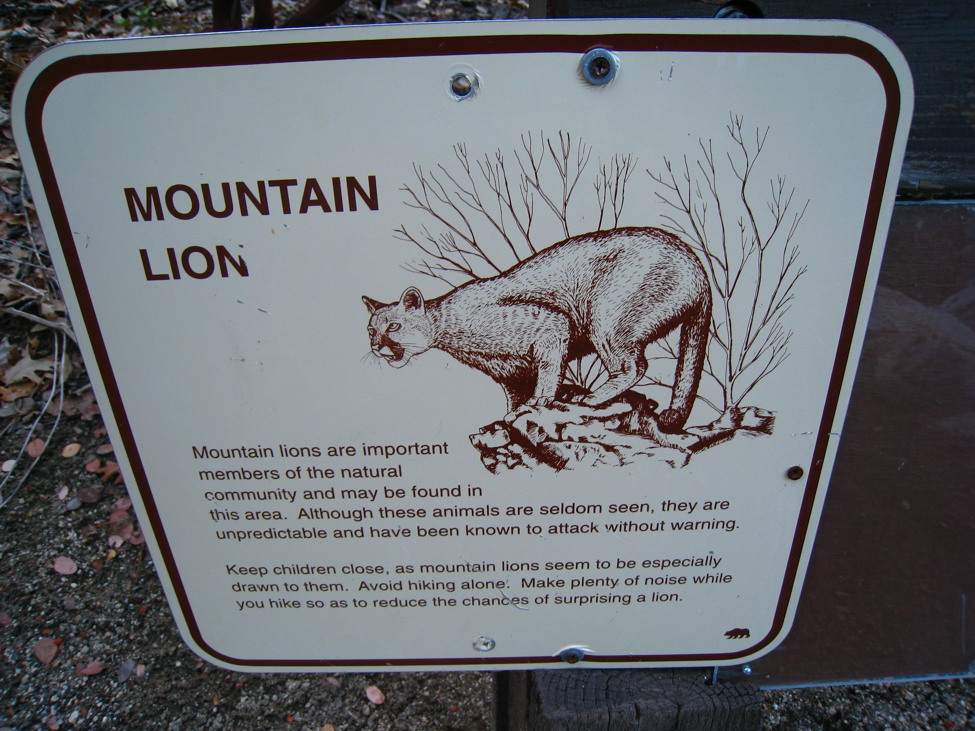
I just like taking pictures of the Mountain Lion signs. One day, I'm actually going to see one.
3 
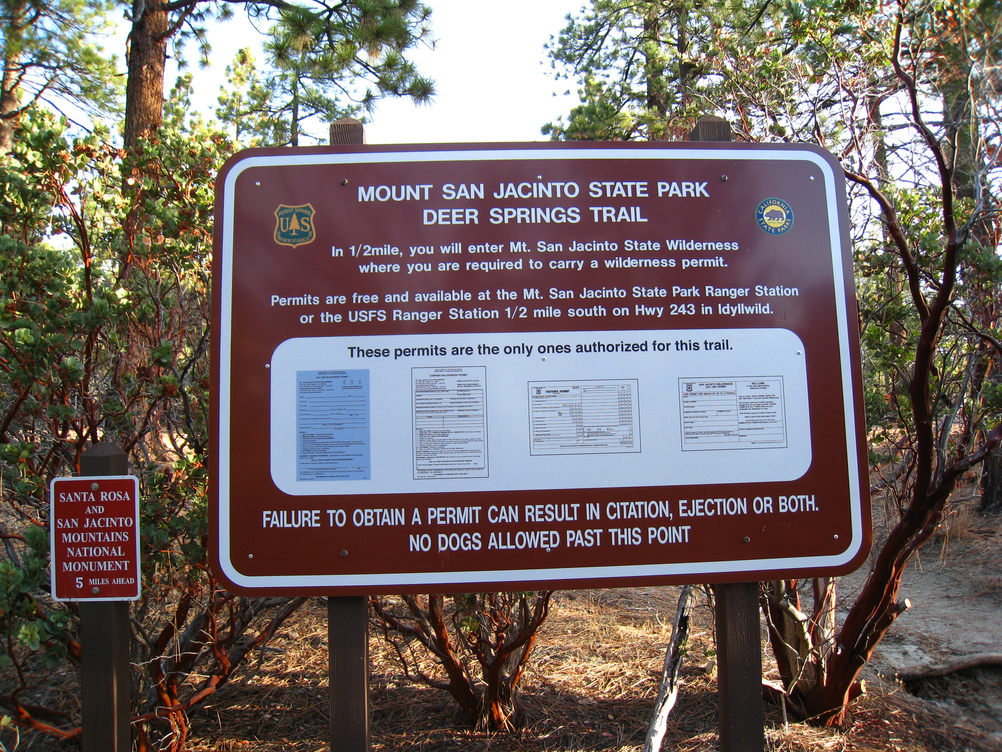
The trailhead is at 5620' and there is hardly any snow here, which made parking easy. Looks like this trail will be perfect for running in the spring. Beautiful pine needle covered single track.
4 
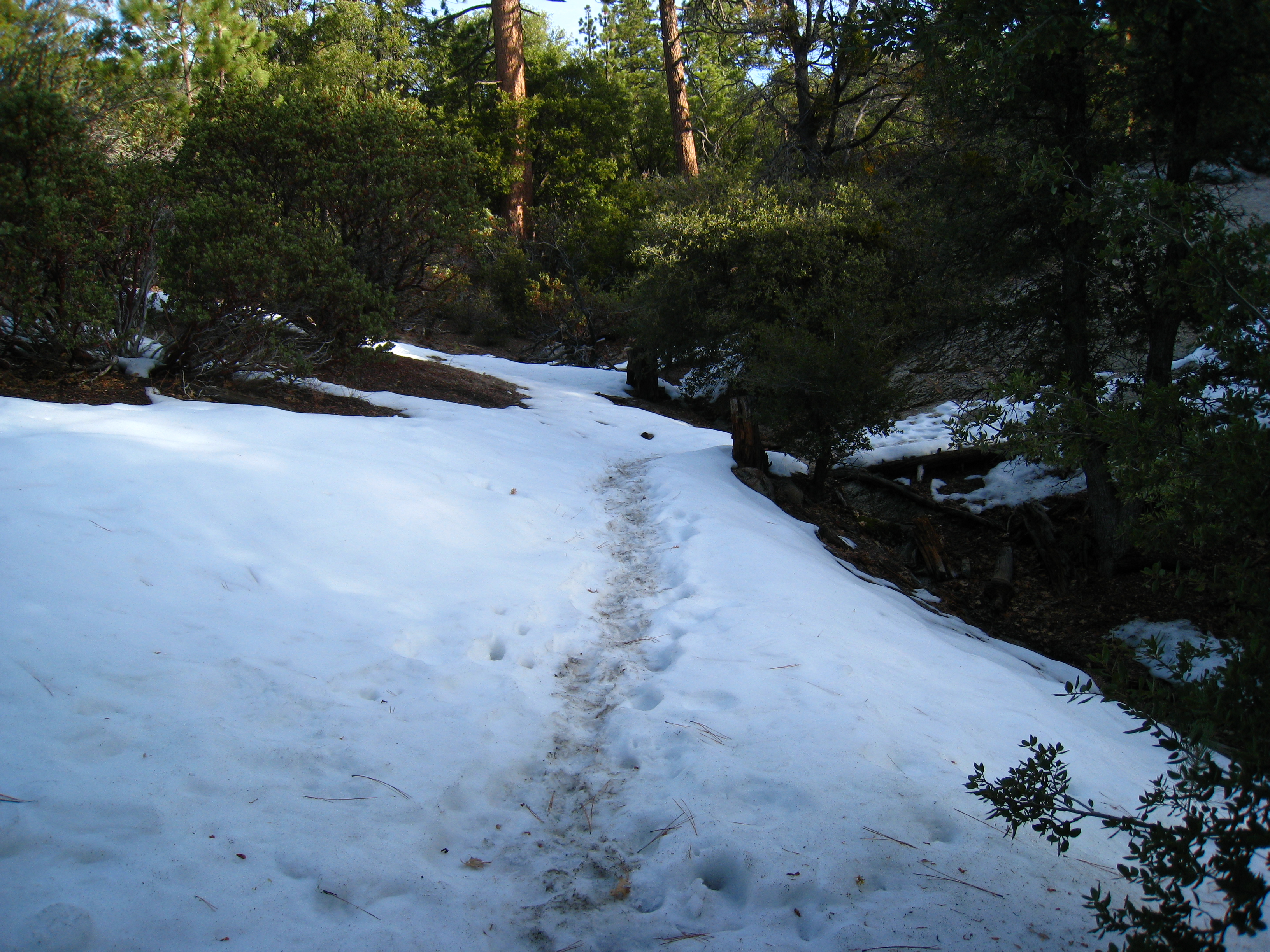
At around 6500', I start to hit larger snow patches. It looks like people were on the trail a couple days ago, so I have some tracks to follow. I'm making good time at this point.
5 Now I know why it's called the Deer Springs trail. Evidently early morning along San Jacinto Creek is the place to see deer. I saw at least 10 in less than a mile of trail.
6 
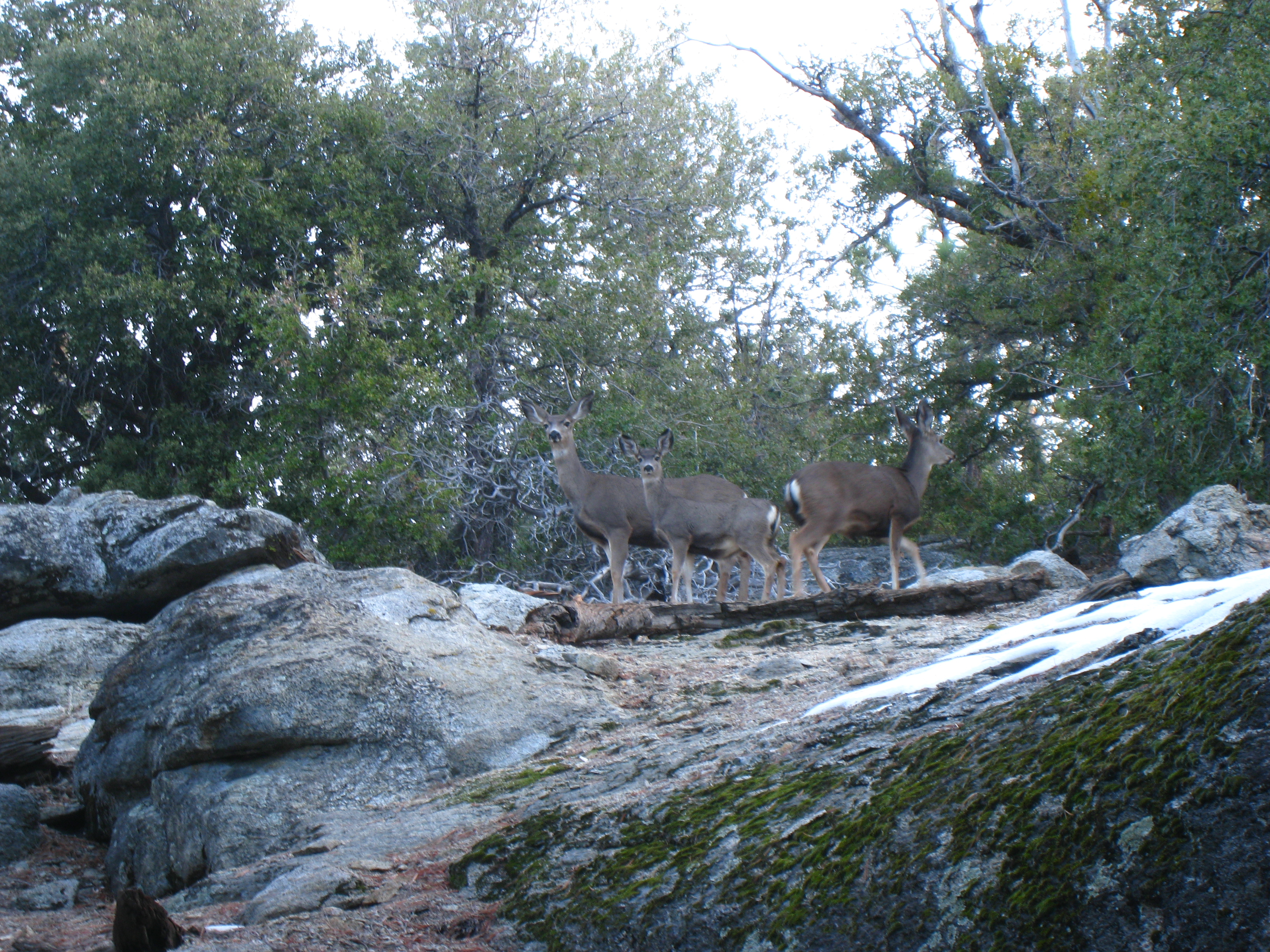
The whole family poses for a shot.
7 
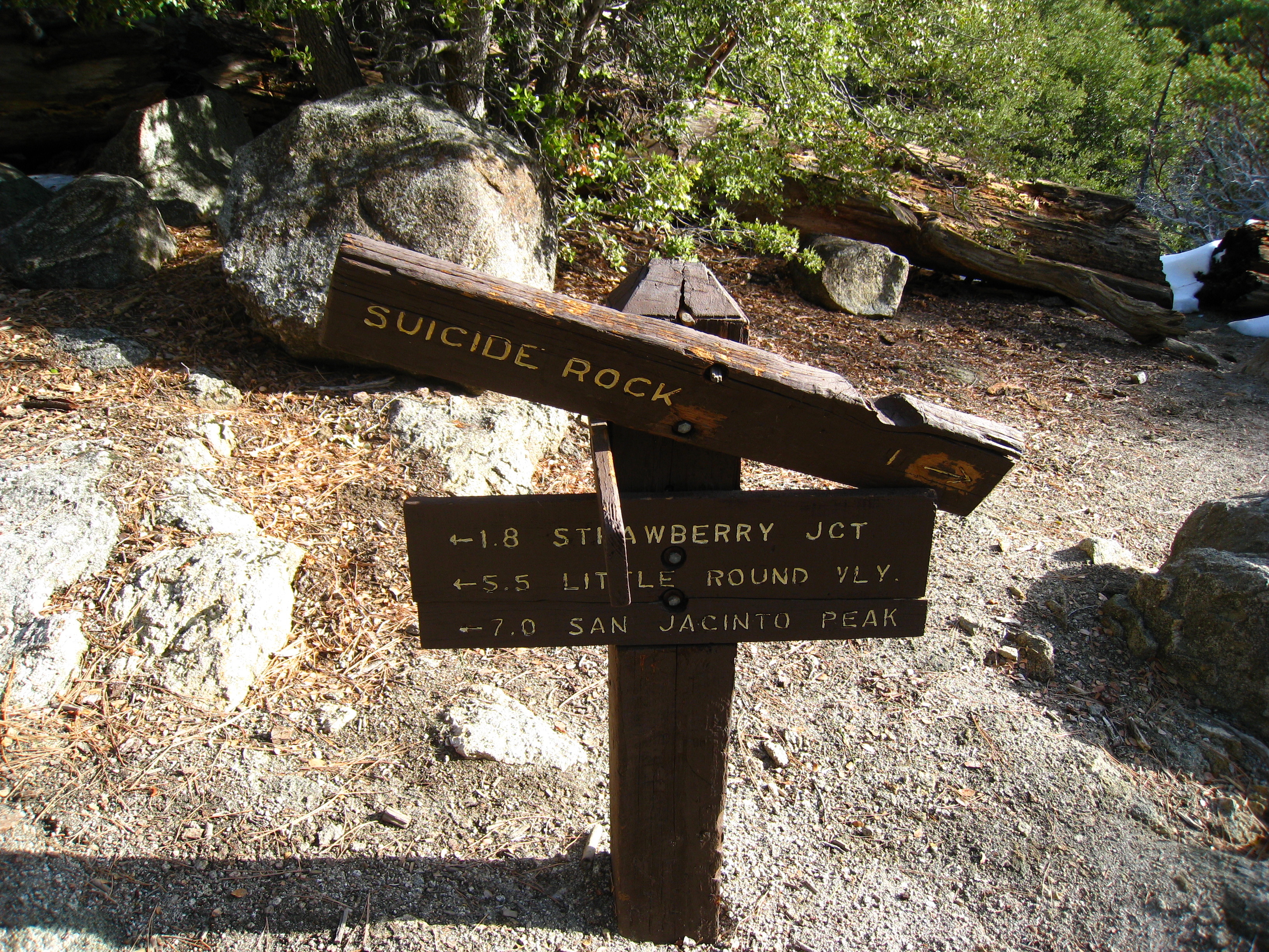
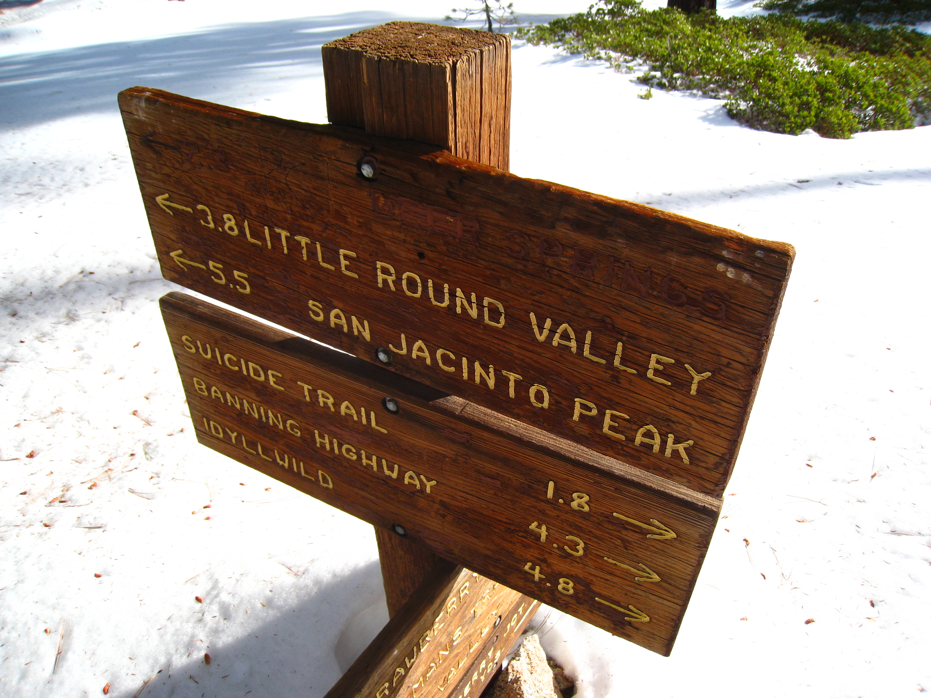
The first signpost. 7 miles to go. I'm now at 6900'.
8 A look out towards Suicide Rock at 7528'.
9 I'm now somewhere around 7500', and it appears that whoever was on the trail previously didn't go any further than this. I have no more tracks to follow, just virgin snow. And it hasn't snowed in a week, so not many people have been up here. Maybe they know something I don't.
10 
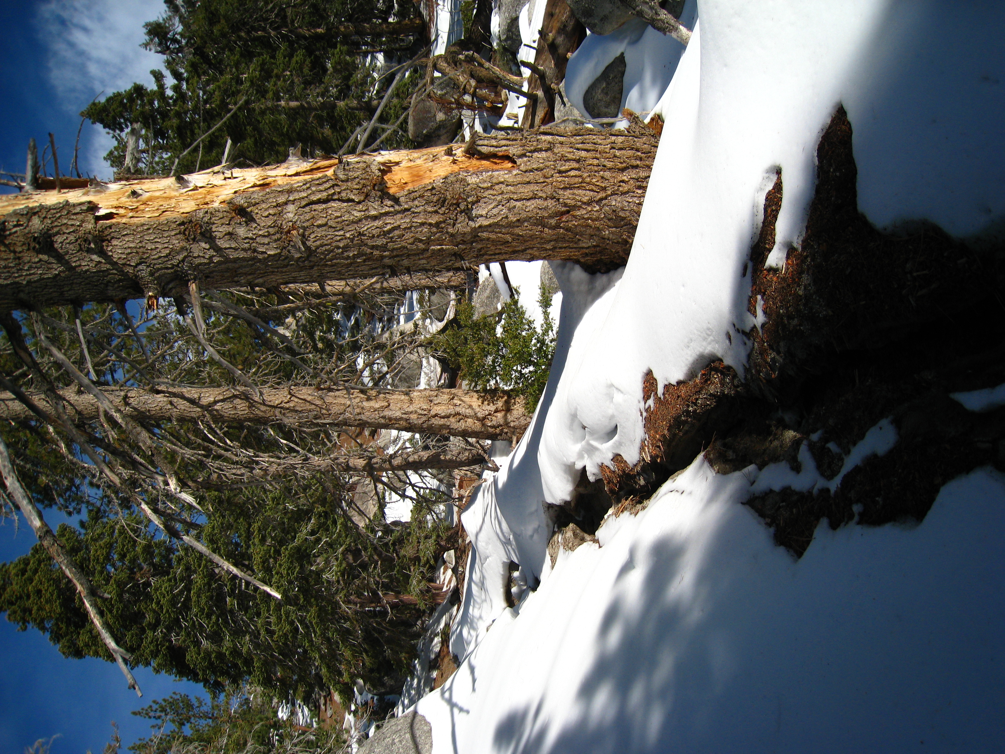
In places, the trail becomes a little creek for melting snow, and the rut is more than knee deep.
11 
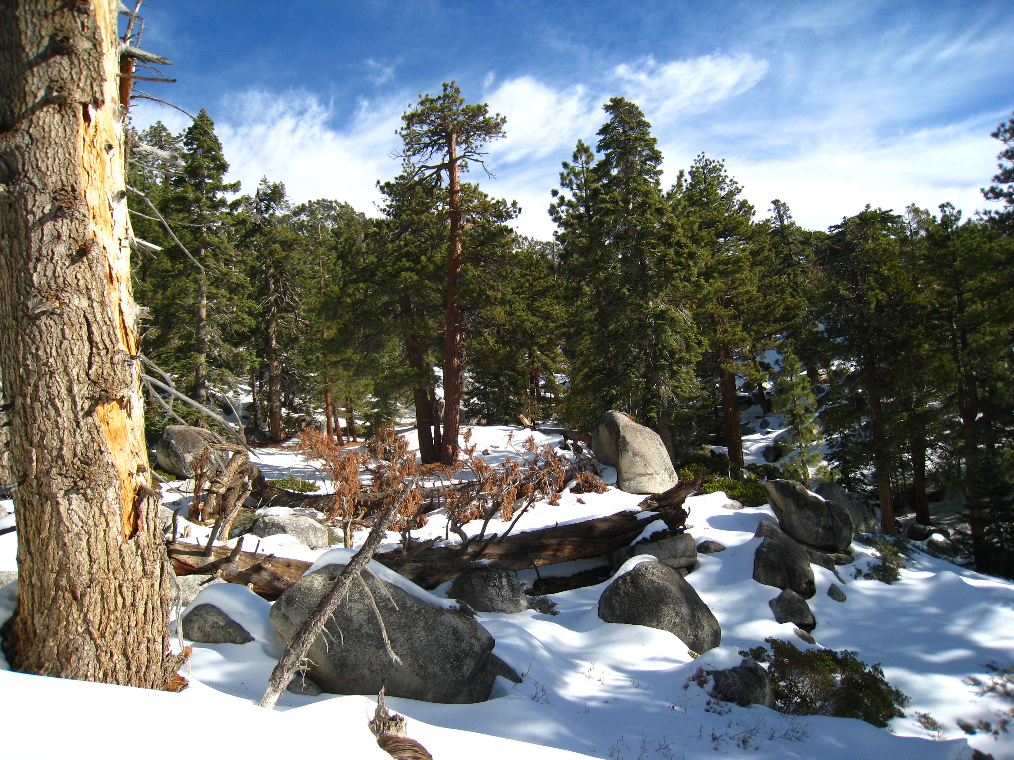
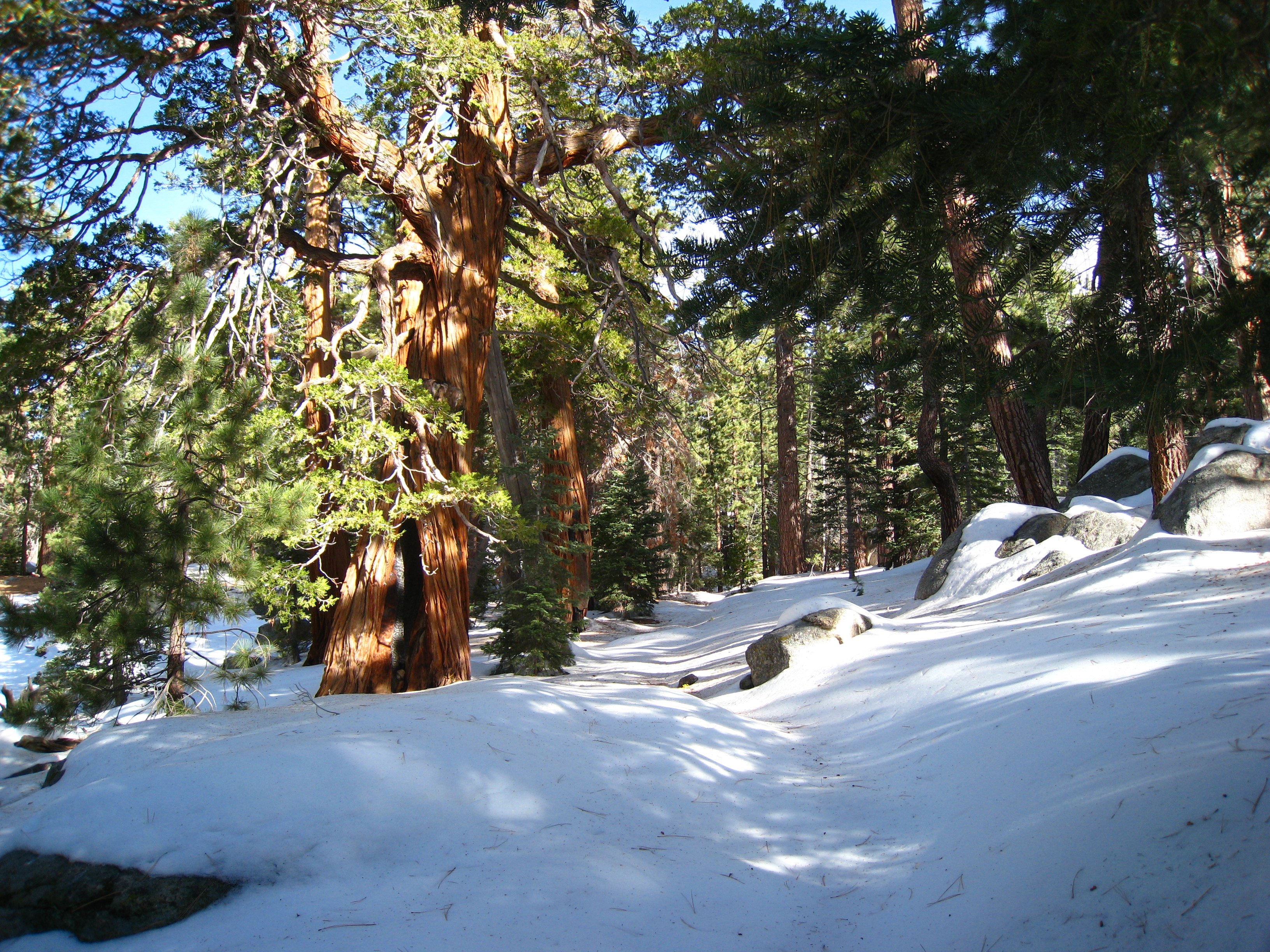
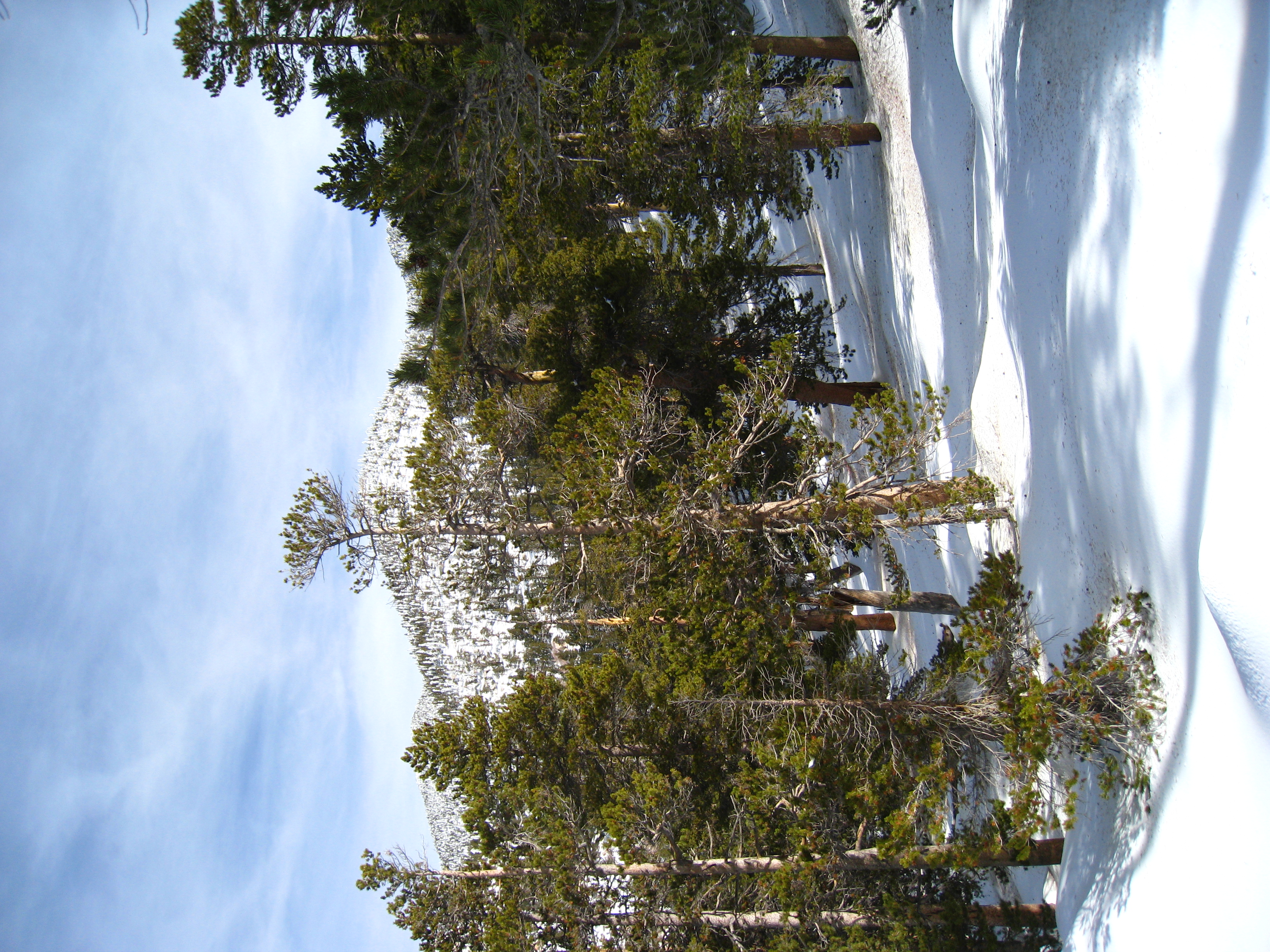
Amazing snow scenery is everywhere you look.
12 5.5 miles to go. 8040'. I've still been making good time up to this point. My confidence is growing that I will be able to summit today.
13 The snow is getting heavy, and the altitude is high enough now that there is a lot of ice. I've already been using my new Lekki carbon trekking poles, which are a live-saver. Now it's time to try out my Kahtoola MICROspikes, which are basically lightweight crampons that fit over your shoes. They prove to be helpful but keep slipping off.
14 
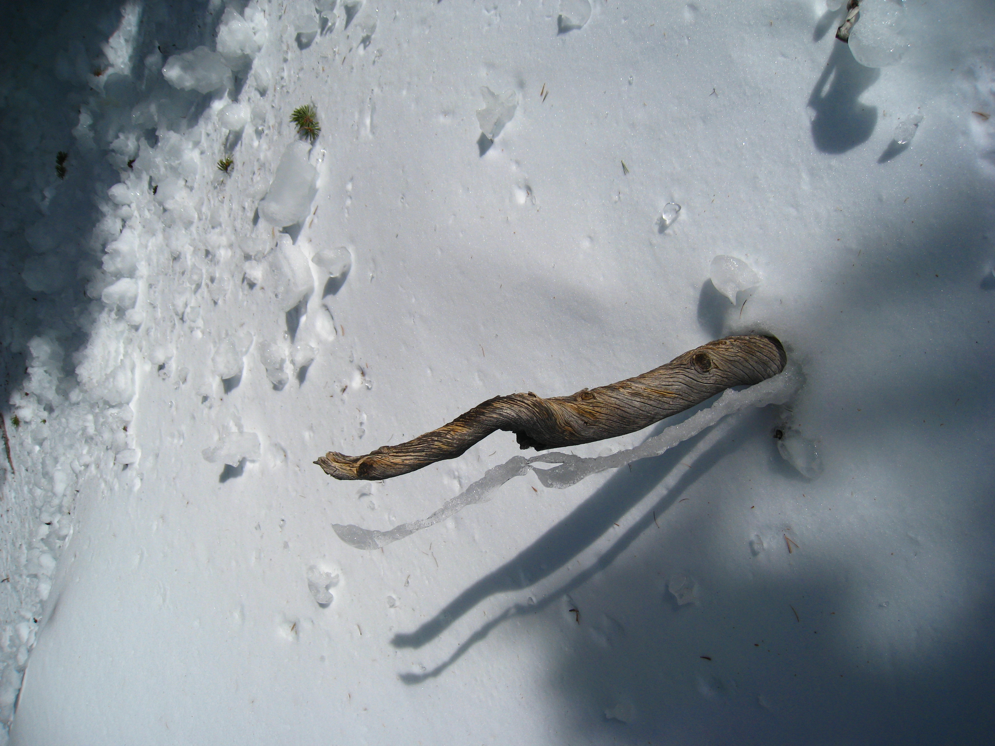
There's a stretch of a couple miles where it feels and sounds like I'm walking on glass. Little snow clods have frozen into ice chunks. They shine like glass and sound like crushing glass when you walk on them.
15 
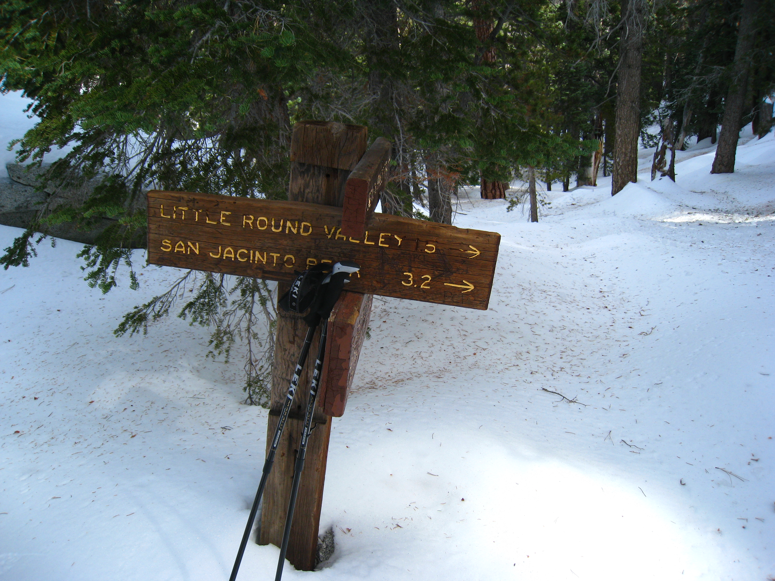
I make the next major trail junction at 8640'. My pace has started to slow in the heavier snow, but at this point I'm still confident about summiting. That confidence then started to fade quickly. Past this point, it becomes extremely hard to find any semblance of a trail. The terrain starts getting steeper, and I have to start relying heavily on the GPS. I even put my new compass skills to the test. I shoot a bearing to the summit and follow that course, checking-in with the GPS to make sure I'm not too far off. Without the GPS, I probably wouldn't have gone too much further than this.
16 My pace has now slowed to a crawl. I spend a lot of time correcting my course, and my hopes of summitting are starting to fade. But, according to the GPS, there should be a trail split right... here! The GPS leads me to within feet of this signpost. Now this was undoubtedly a short sign to begin with, but the snow is getting pretty deep. Later in the winter, this trail split will be invisible. I'm now at 8940'.
17 I'm within site of the summit now, but it's extremely slow going. There is no visible trail whatsoever, and I'm navigating strictly by GPS and compass. I'm not worried about following trail, but the problem is that the trail designers were pretty smart about choosing the easiest path through the steep terrain. In contrast, my "as the crow flies" compass route often leads me into impassable areas, and I have to constantly re-route. Time is ticking by fast. I had decided that 1:00pm was my turnaround time, and that time already came and went. I've already been over what I previously thought was the summit, only to find the real peak behind it. But now I'm sooo close, I don't have the will power to turn around now.
18 I'm within site of the summit now, but it's extremely slow going. There is no visible trail whatsoever, and I'm navigating strictly by GPS and compass. I'm not worried about following trail, but the problem is that the trail designers were pretty smart about choosing the easiest path through the steep terrain. In contrast, my "as the crow flies" compass route often leads me into impassable areas, and I have to constantly re-route. Time is ticking by fast. I had decided that 1:00pm was my turnaround time, and that time already came and went. I've already been over what I previously thought was the summit, only to find the real peak behind it. But now I'm sooo close, I don't have the will power to turn around now.
19 
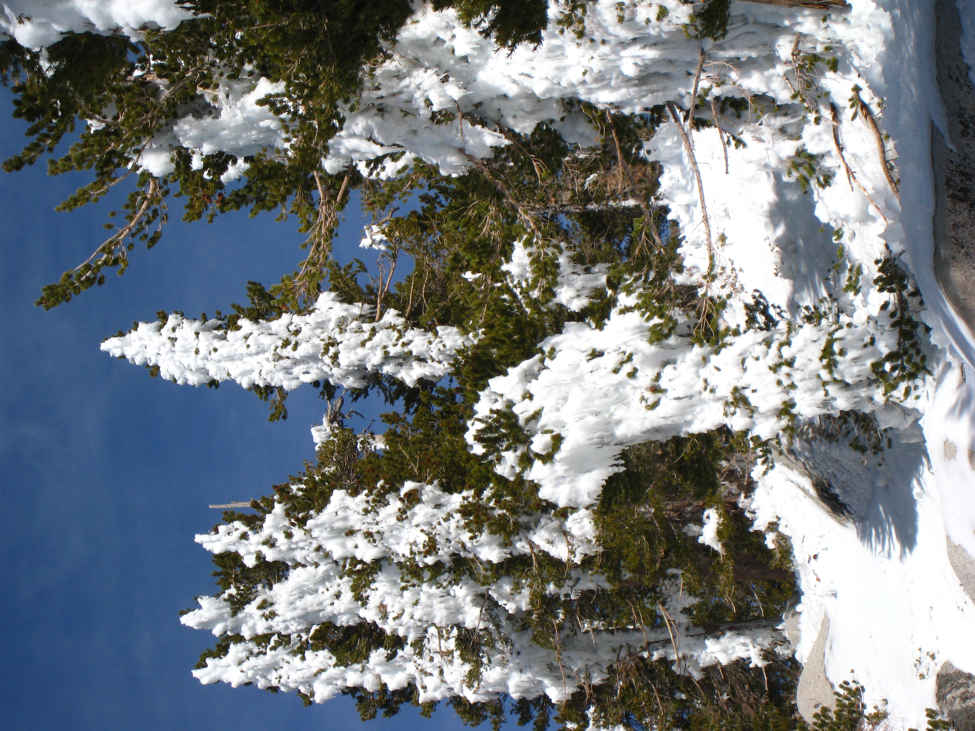
The trees are covered with chunks of icy snow that are melting fast. Big chunks slide off and come crashing down. First couple times, it scares the crap out of me until I figure out what the noise is from. I get hit by one big ice chunk, it doesn't feel good. It's now about 2:00pm, and my turnaround time was supposed to be 1:00pm. But I'm so close...
20 I make it to the shelter just below the summit! The summit is definitely within reach now, but it's after 2:00pm. It actually crosses my mind that I may end-up having to use this if I don't summit and start heading down fast!
21 The shelter was built in 1933 by the Civilian Conservation Corps. Backpackers leave it stocked with gear for fellow travelers, and there are two bunk beds. Since there's actually snow inside, I doubt it's very weatherproof.
22 I made it! 10,804' above sea level. The temperature is in the low 40's, not all too windy, pretty comfortable up here actually. The only problem is it's 2:15pm! It will be dark in less than 3 hours, and it took me almost 7 hours to get here! Now if I were trail running the whole way down, 2:1 time would be realistic. But hiking down in the snow with no trail? It hits me that I might be spending the night on the trail somewhere.
23 Looking out towards the other two big peaks. Mt. San Gorgonio to the right, and Mt. Baldy further in the distance. San Gorgonio is the only one left to conquer in the snow.
24 I'm not sure what lake that is.
25 I nice pic from the summit. The sun is getting low.
26 More pics. There is a set of snowshoe prints up here that evidently come from the tram. Booo. Taking the tram to the top should be illegal.
27 It's hard to tell in the small picture, but you can see the windmill farms on the road into Palm Springs.
28 Looking down towards the outskirts of Palm Springs. It's probably a little warmer down there.
29 A 360 panorama video taken from the very topmost rock on the summit. The shaky video is due to me trying to keep my balance while turning around on an icy rock. Now it's time to start heading down. Fast!
30 I pretty much take no pictures on the way down. I'm moving as fast as I can and am seriously worried about having to spend the night on the trail. I have several spectacular wipeouts. They are snowboard or skiing style wipeouts, landing with limbs in every crazy direction and sliding downhill on my ass. In fact, there are places where I intentionally just ride down on my butt to save time. I go long stretches without ever seeing my tracks from the way up. I rely heavily on the GPS to keep me going in the right general direction. The worst part is that at the lower elevations the snow has become much slushier than on the way up. Now, instead of walking mostly on top of the snow, I'm sometimes breaking through the surface and falling ankle deep, or sometimes knee deep, into the snow. It makes movement very slow, and extremely tiring! And every step is different. Sometimes your foot doesn't break through the surface, sometimes it falls through a couples inches, sometimes you fall through to your knees. What a workout! My abs in particular were getting pounded from bracing the unexpected impacts. Mental note... do not do snow hikes when the temperature is above freezing!!
31 2.3 mile to go, and it's just after 5:00pm. It's almost completely dark at this point. I'm now using my headlamp and running full speed when there are breaks in the snow.
32 Almost back to the car. It's now almost 5:30pm and it is completely pitch black. I'm running full-speed down technical single track in the wilderness with only my headlamp. I have a couple big ankle rolls. At one point, I startled a deer, which went crashing through the bushes. Scared the crap out of me. What a wild ride! The funny part is, I wasn't too worried about coming down in the dark, my main worry was that someone was going to call in the rangers after not hearing from me. I was determined to get back to the car and cell phone coverage before that happened.
33 5:40pm at the car. I'm dead tired and hungry, but made it. End of another fun adventure.