2/12/12 Back to the Crystal Lake area of the San Gabriels, this time to try the popular Bridge to Nowhere trail as well as about half of the brutal trail to Iron Mountain. 19 miles total for the day and 5500' of gain.
1 
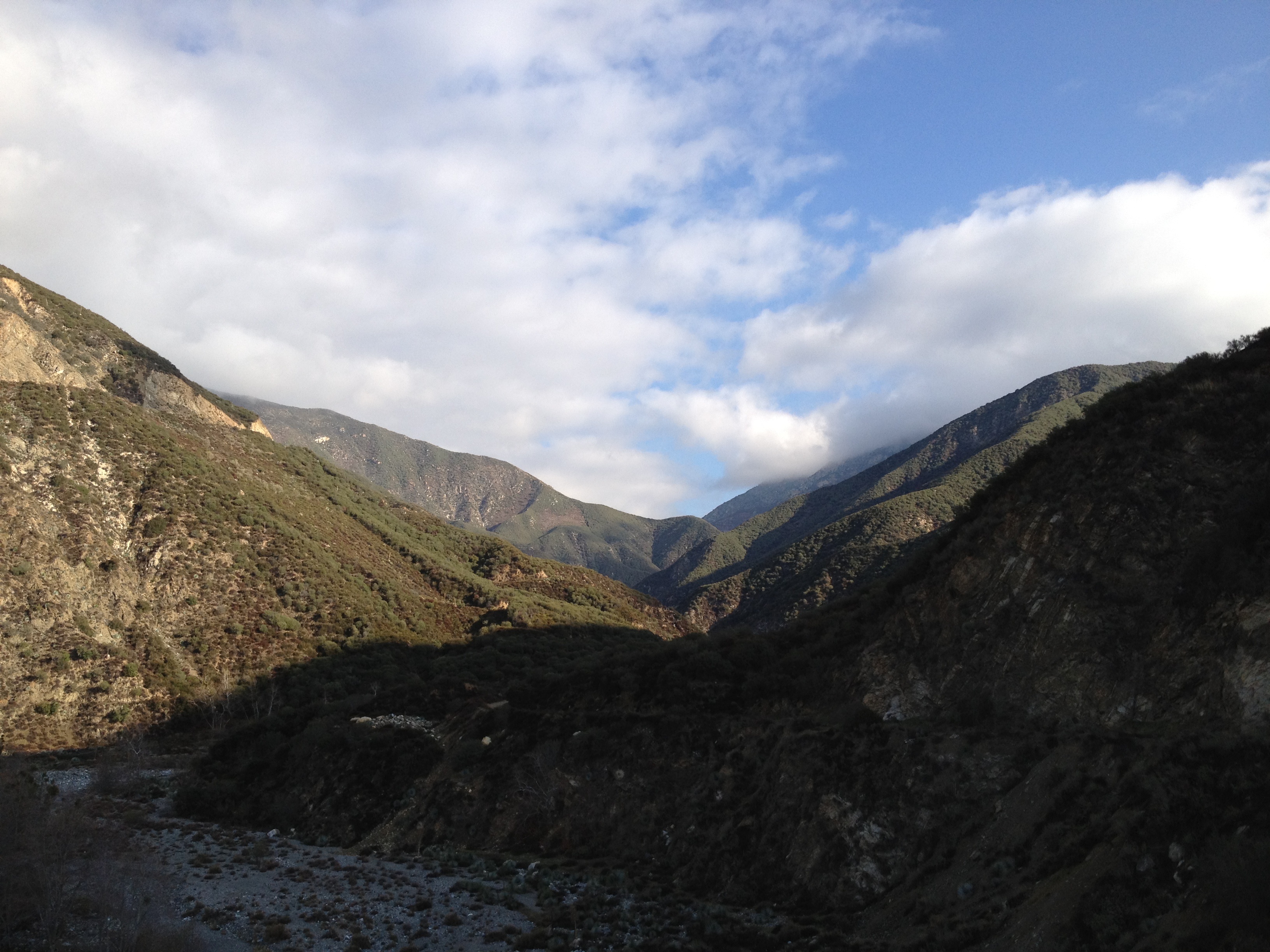
Leaving the trailhead at Heaton Flat and heading up the valley cut by the East Fork of the San Gabriel River.
2 
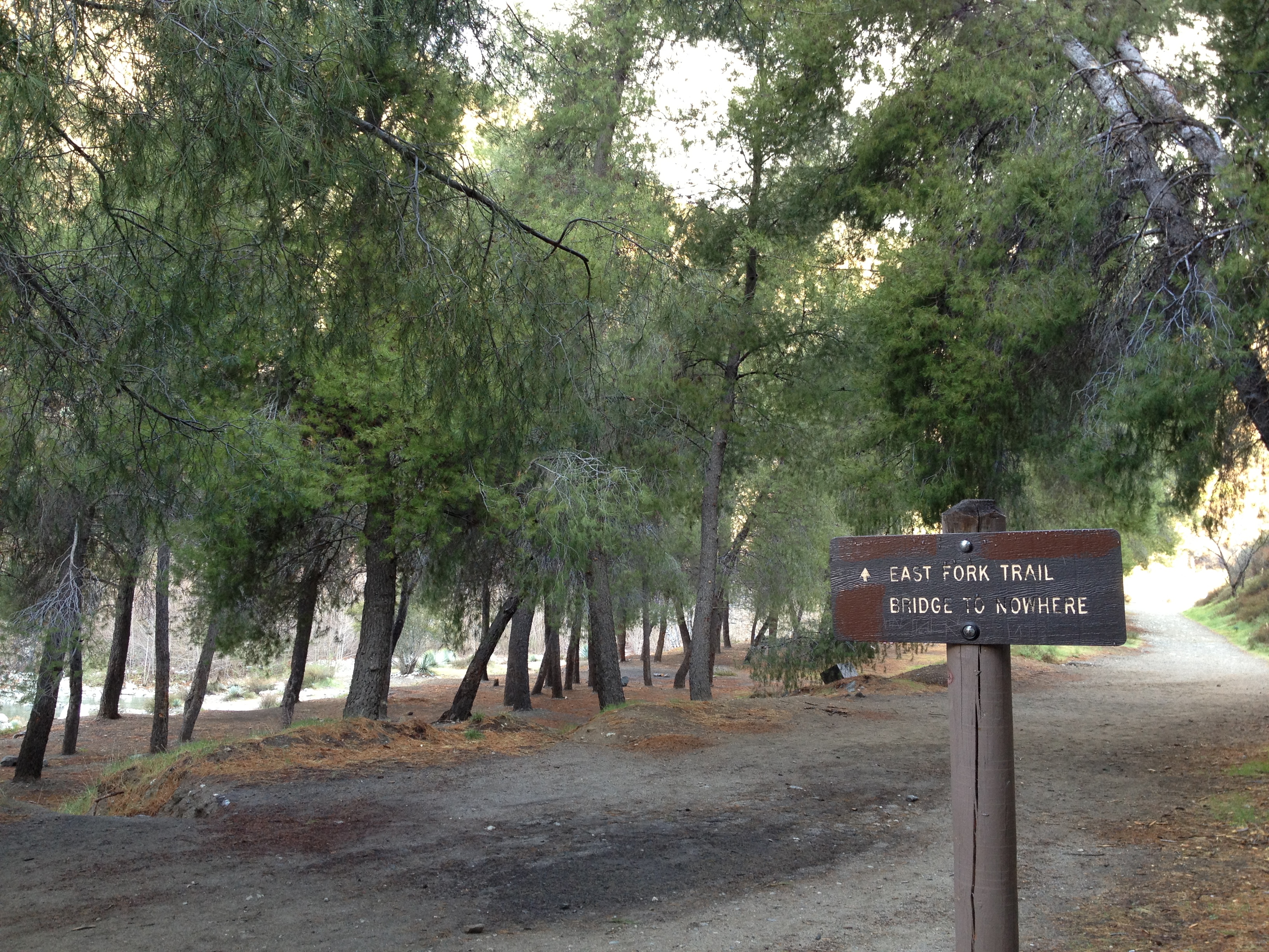
First destination of the day will be the Bridge to Nowhere. Sounds intriguing...
3 
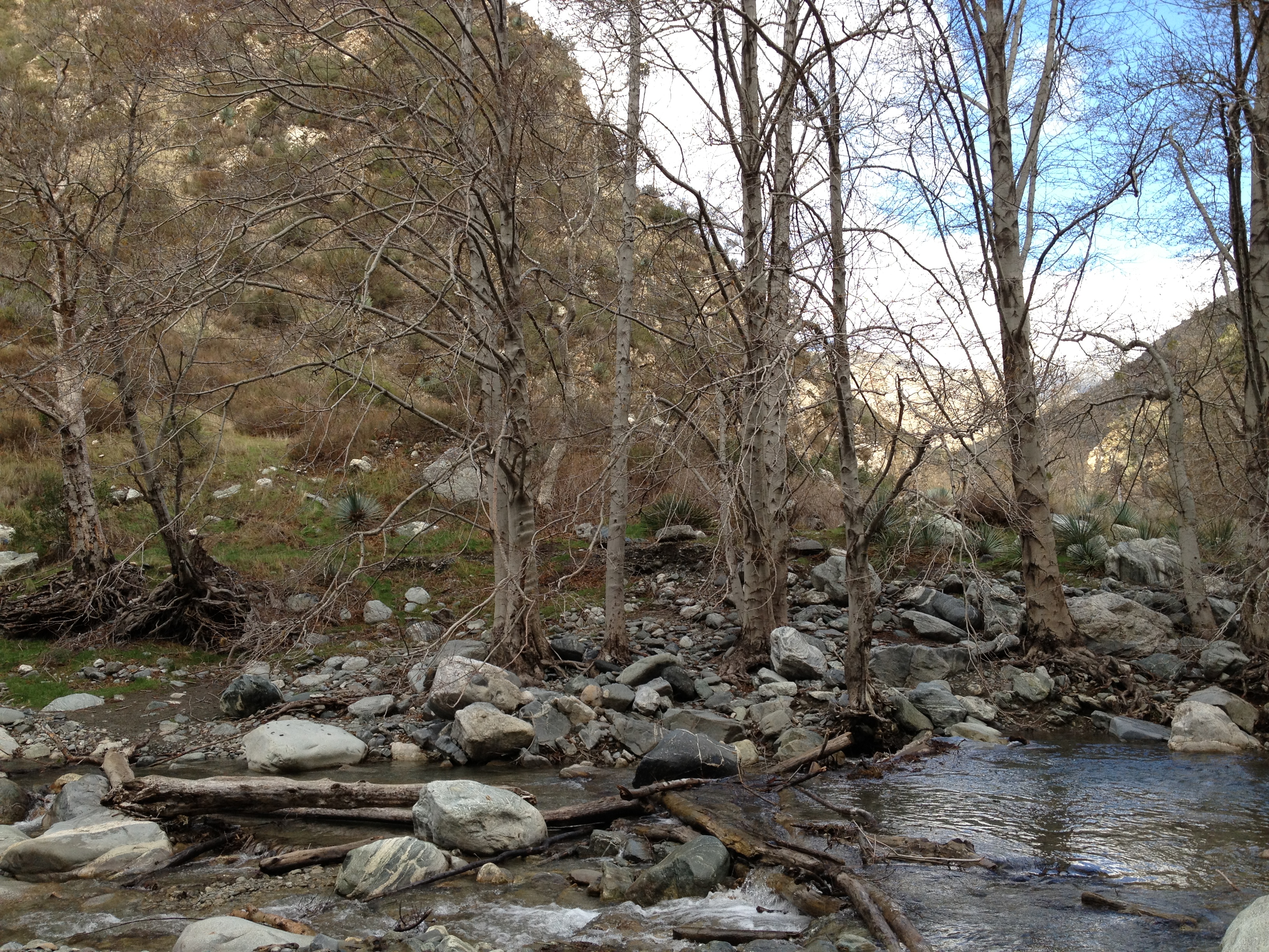
Beautiful trail along the river. There must be a lot of water flowing through here during a wet Spring.
4 
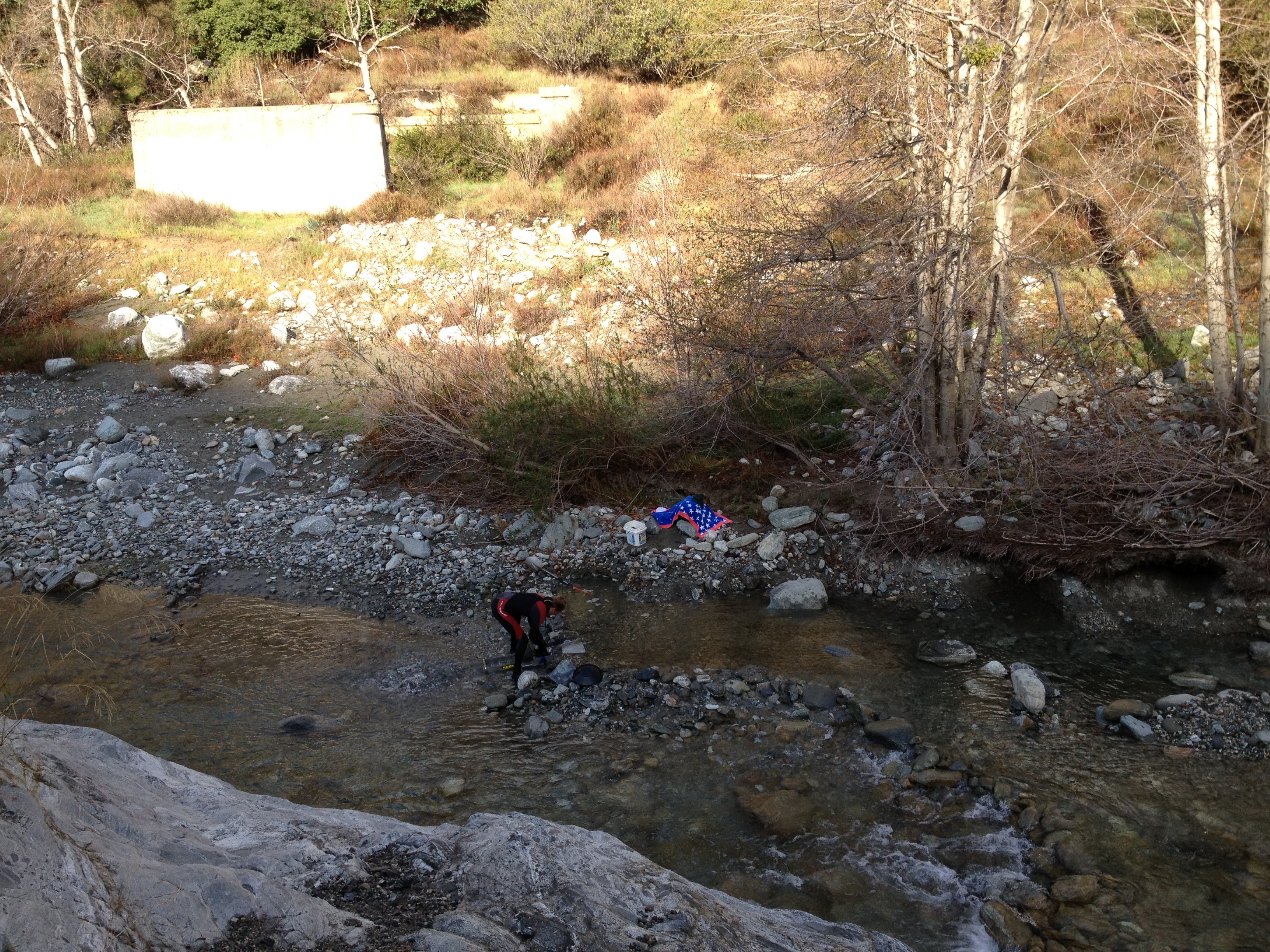
Modern day gold panning with wetsuit and fancy equipment. Turns out this is a popular spot for panning for gold. The parking lot at the trailhead was full, and only some of the cars were for hikers. This is defintely a trail to do really early or on a weekday.
5 
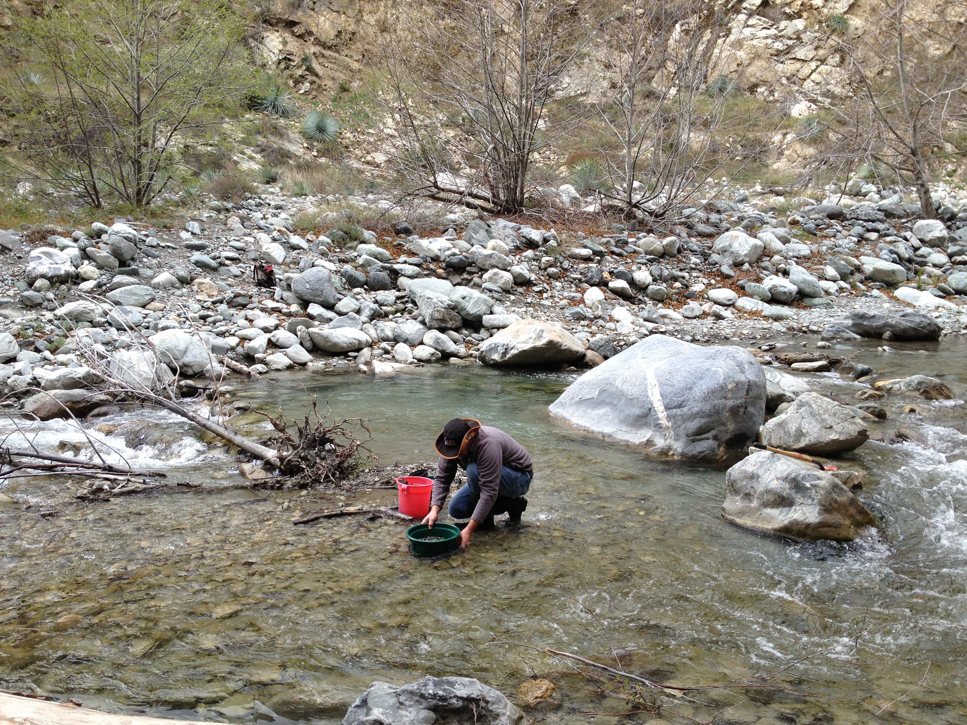
This guy looks more legit.
6 The first water crossing of the day. I don't think there's any way to do this trail without getting really wet. I read online that waterproof boots were highly recommended, but I'm only in my lightweight trail runners.
7 The next water crossing. This water is moving pretty fast and many of the rocks you have to step on are submerged at least ankle deep. Good thing my SpeedCross 3s are great for rock hopping. The water evidently gets waist deep during high water times in a wet year.
8 
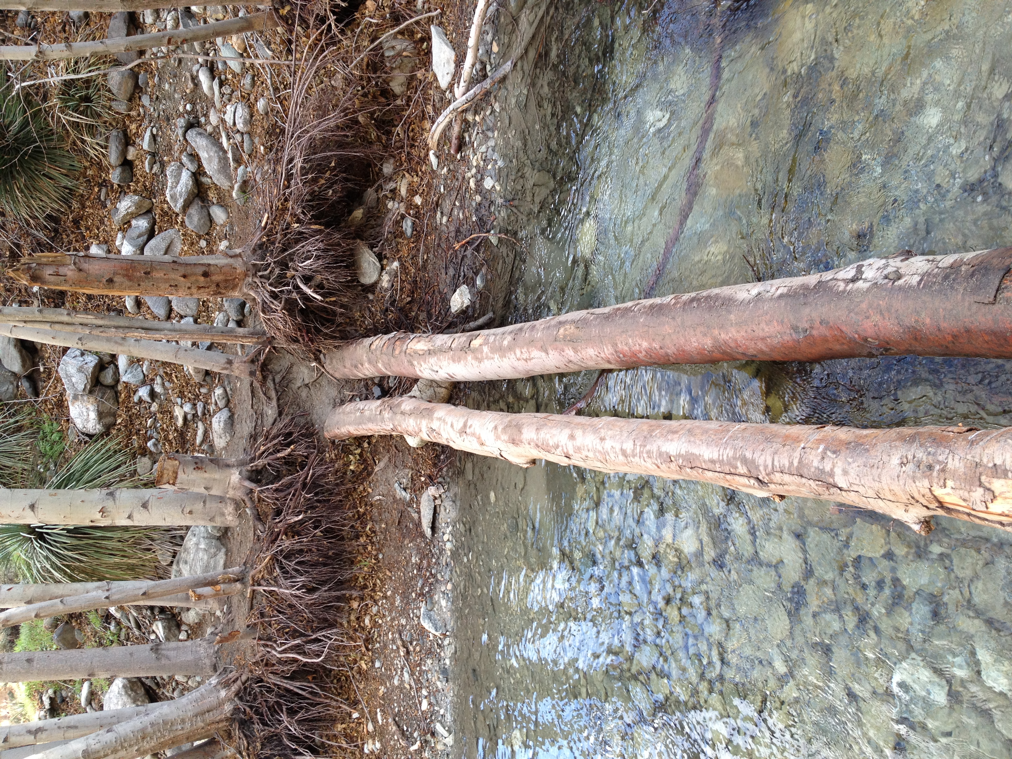
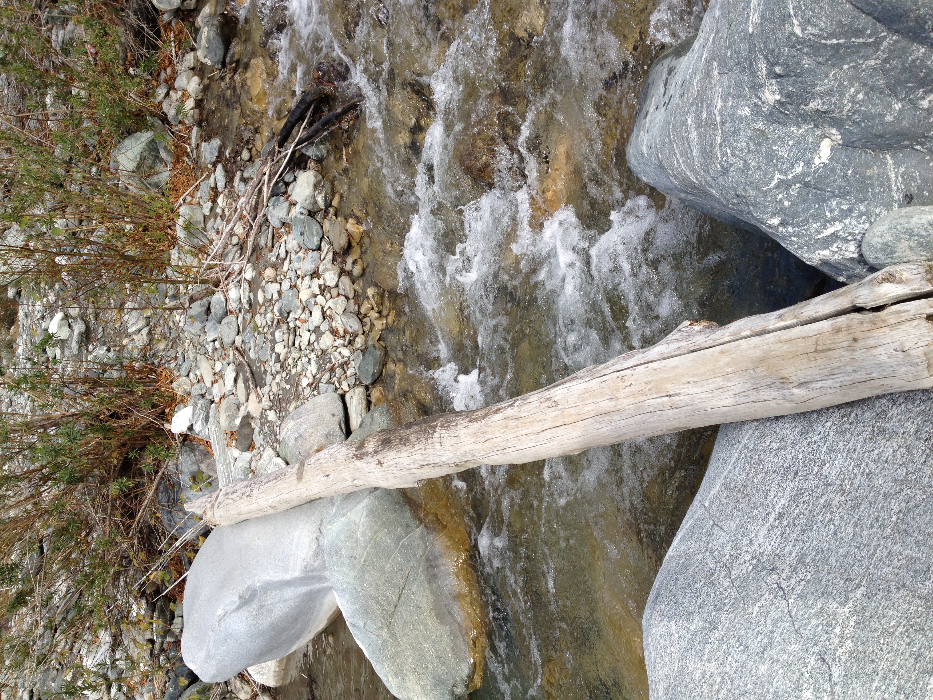
One of many makeshift bridges.
9 
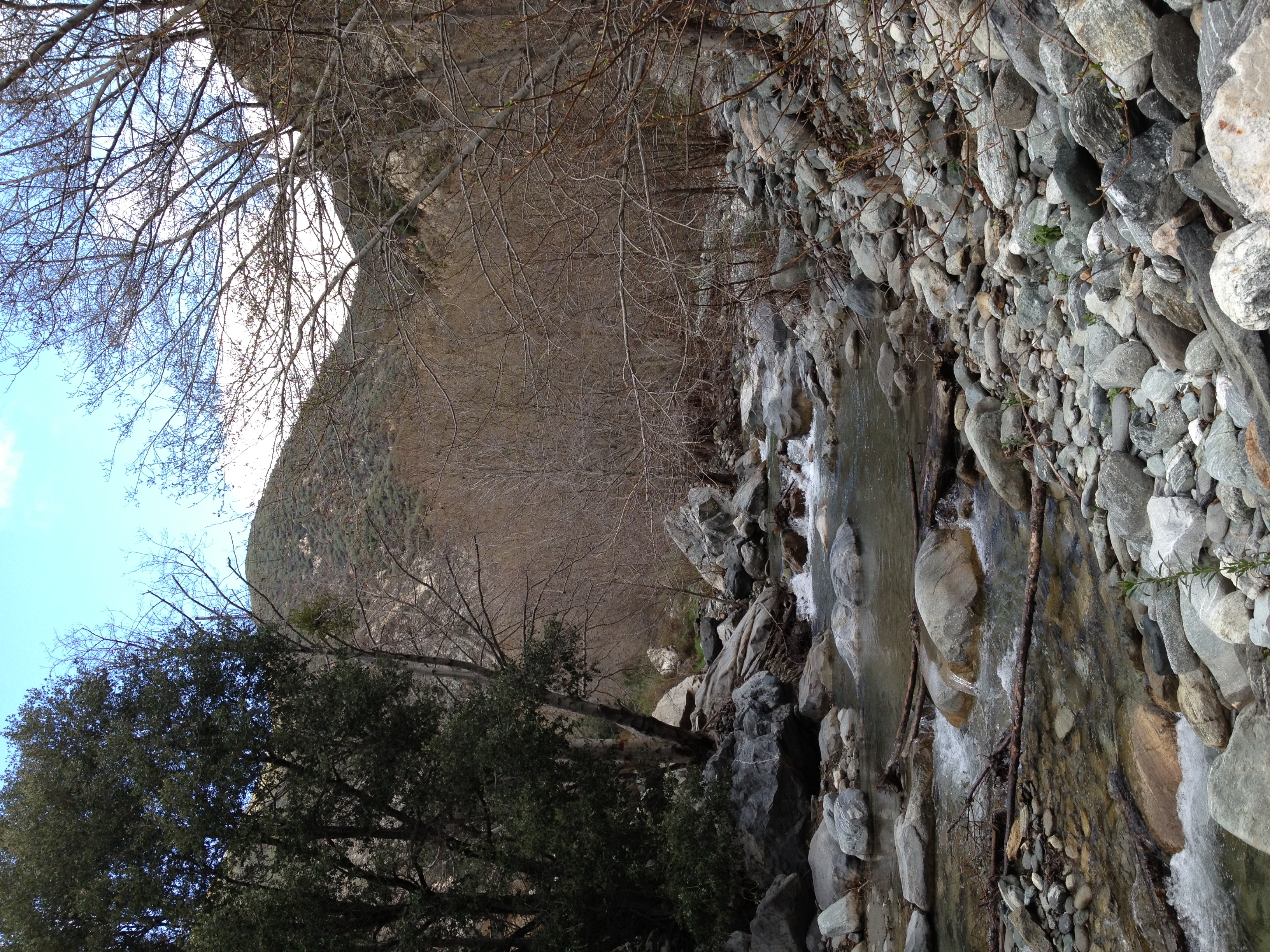
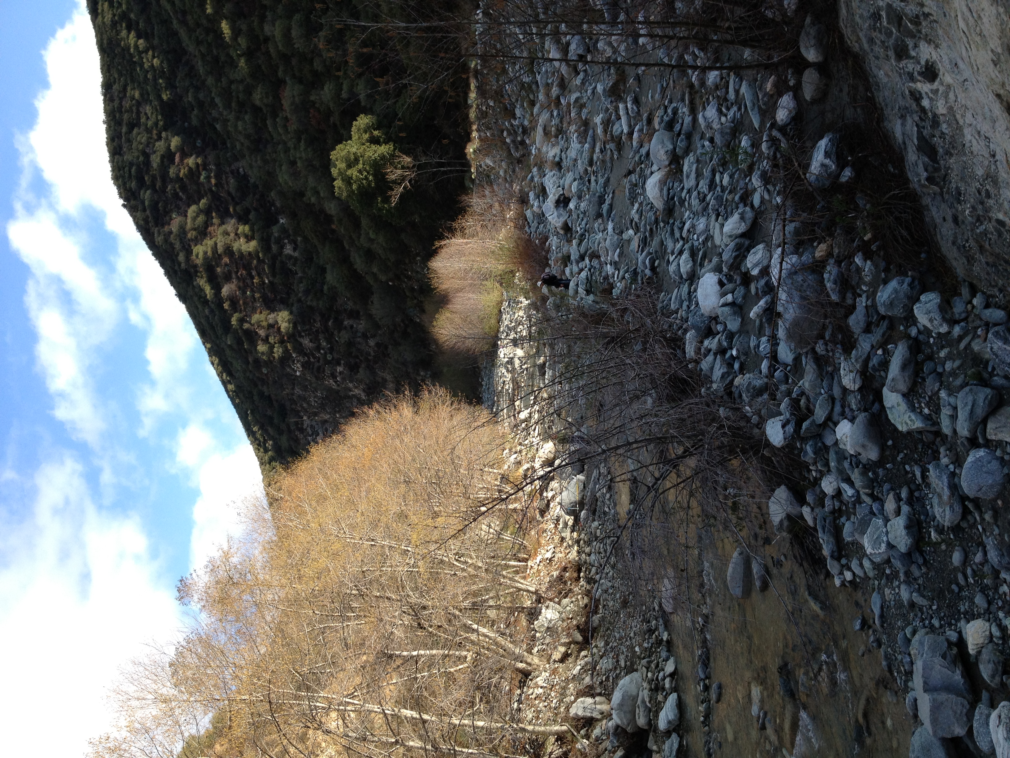
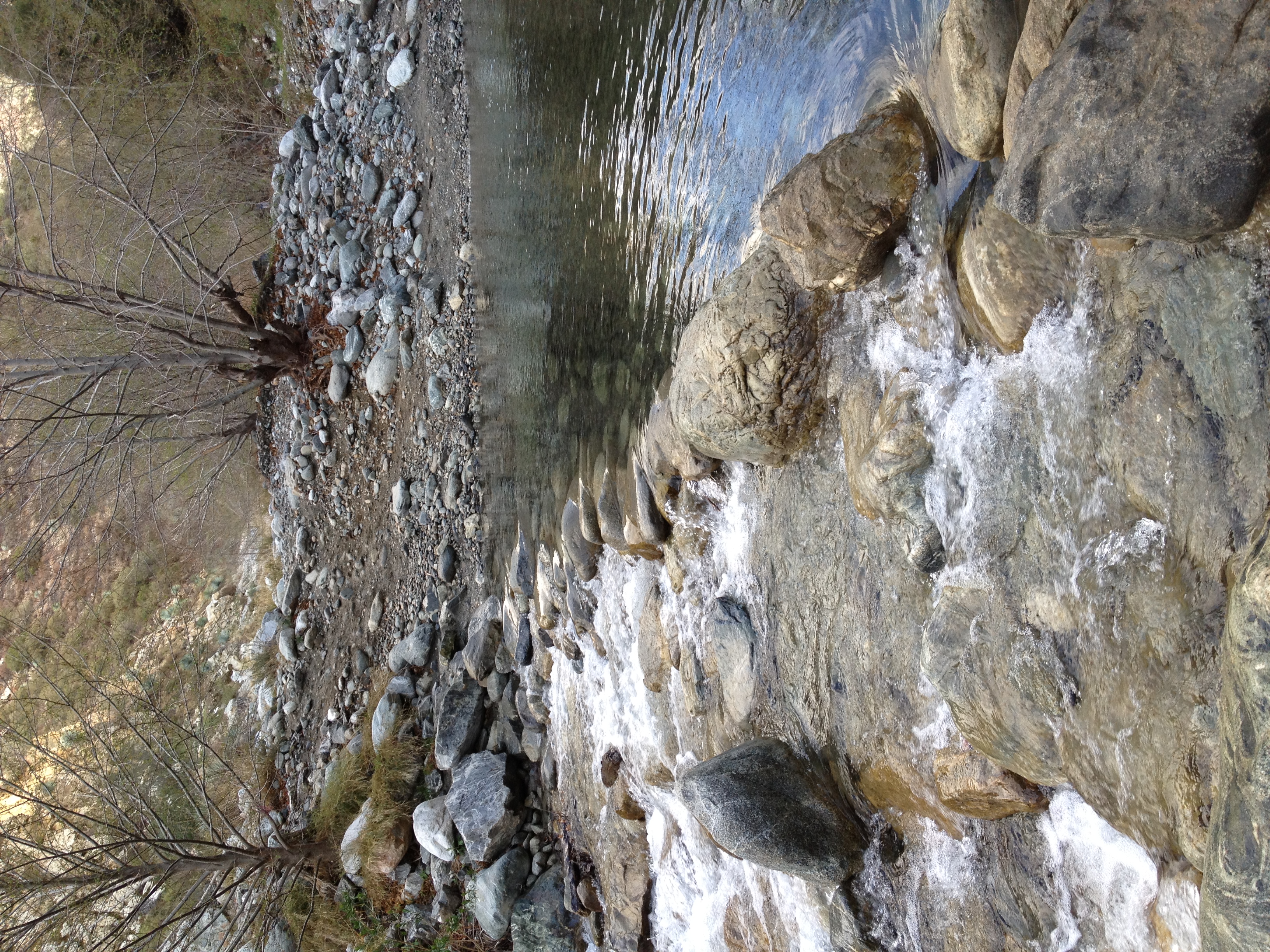
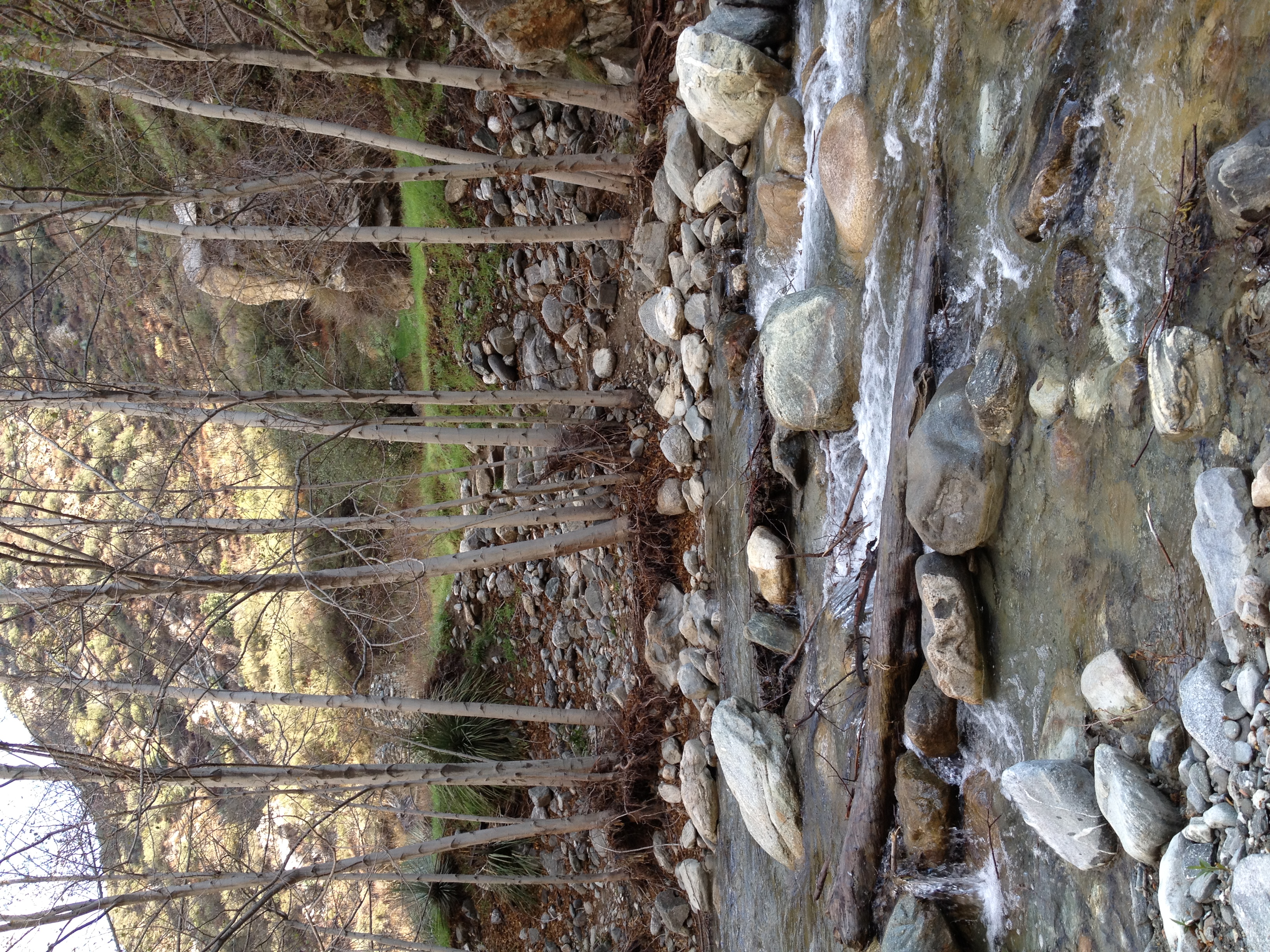
Great river scenery for much of the way up the trail.
10 
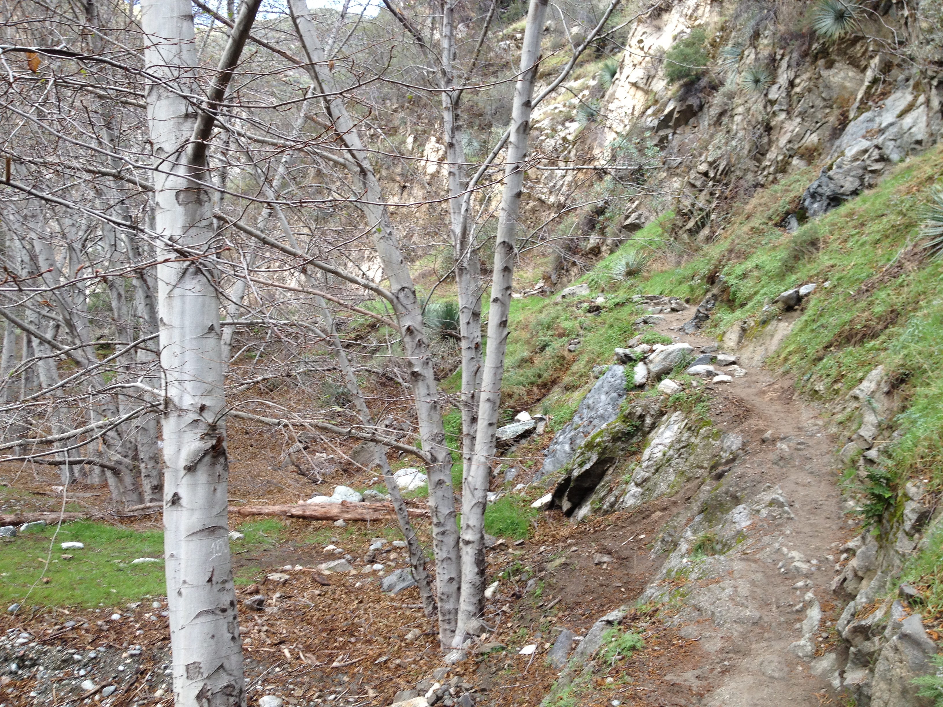
Sections of awesome single track.
11 
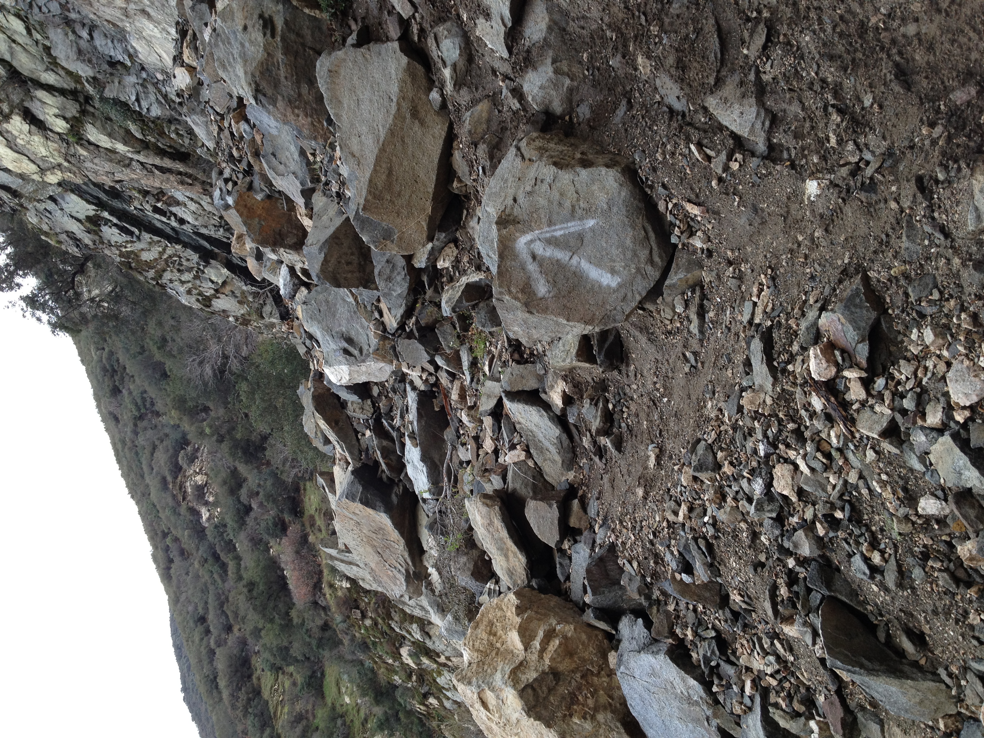
And sections of really technical single track. You know it's good when the trail sign is an arrow pointing straight up.
12 More great single track.
13 
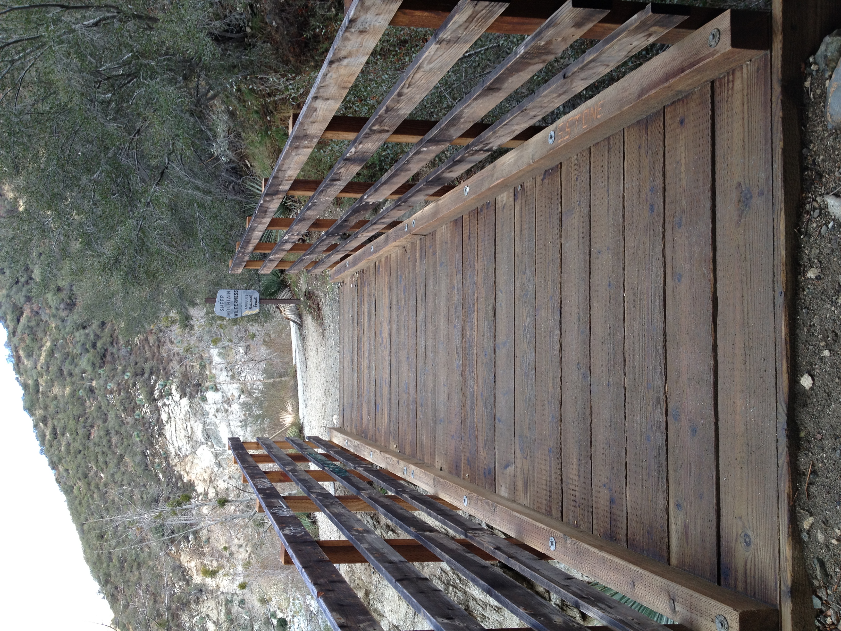
Entering the Sheep Mountain Wilderness over the bridge built and helicoptered in by the San Gabriel Mountain Trail Builders (SGMTBs).
14 
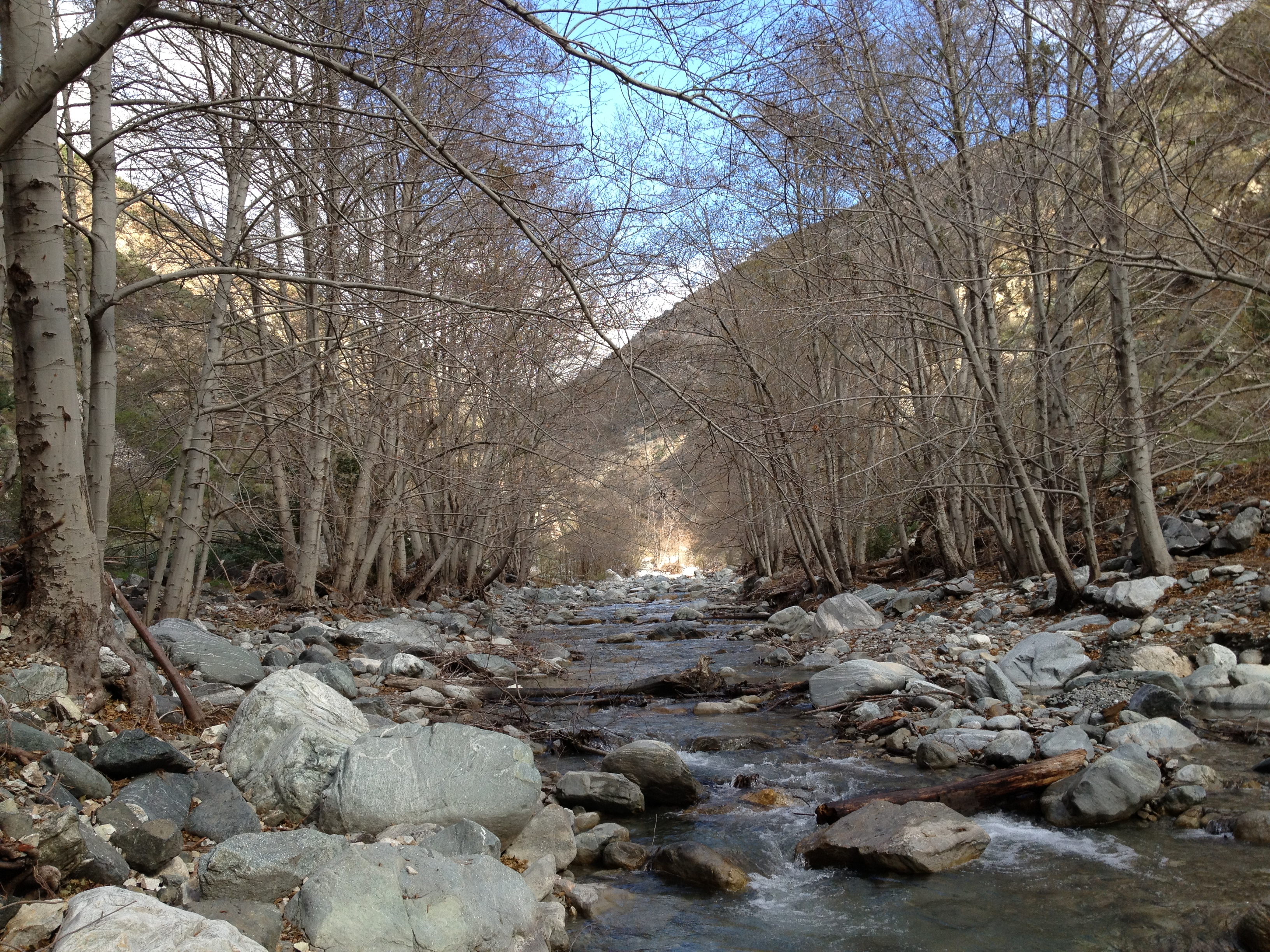
More great river scenery.
15 
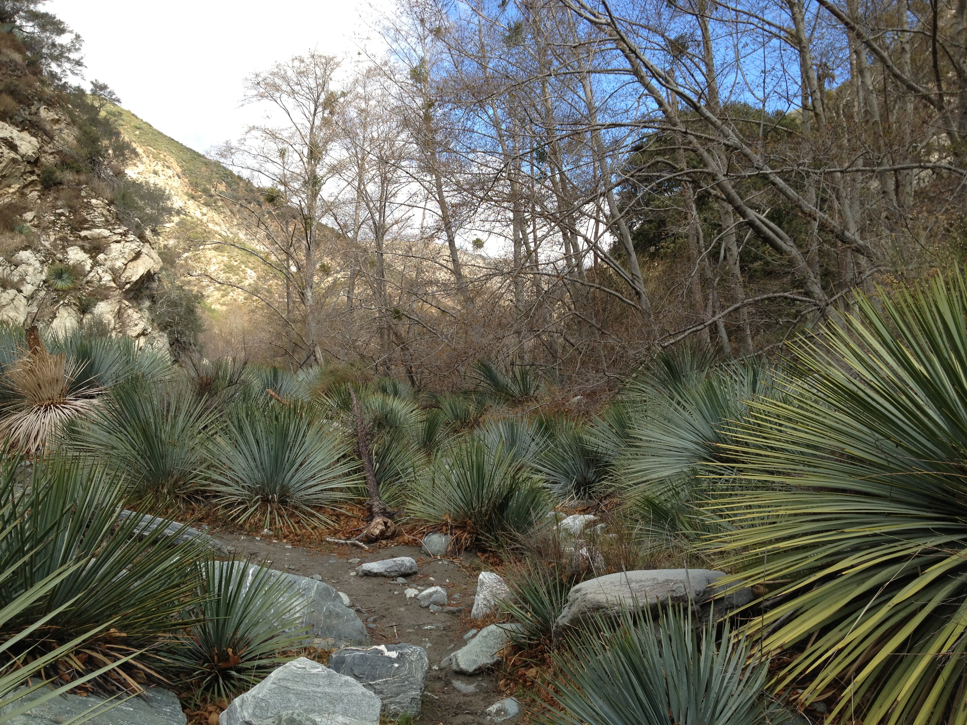
A forest of Yucca. My legs had several bloody pricks by the end of the day.
16 Hmm, stay at home and work today or this? Good choice.
17 
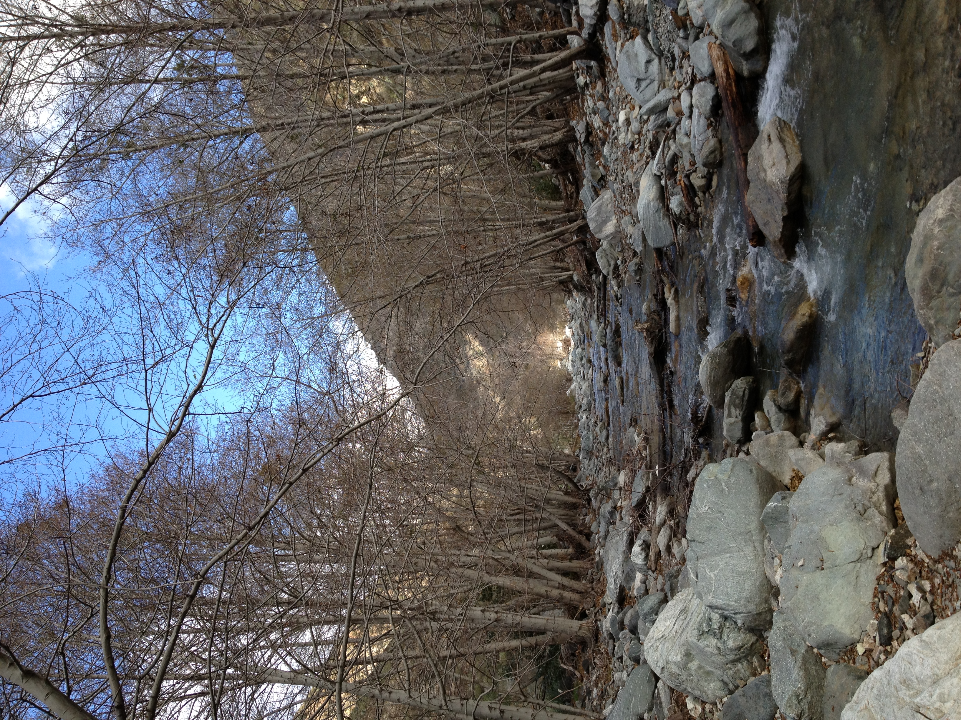
Another view from the same spot.
18 I would learn later in the day that there are two trails up this valley. One is not well defined and basically just goes up the river bed, crossing back and forth across the water many times. The other is above the river most of the way. The latter is a lot easier to follow, the former is a lot more fun. Here's a water crossing that puts your balance to the test.
19 
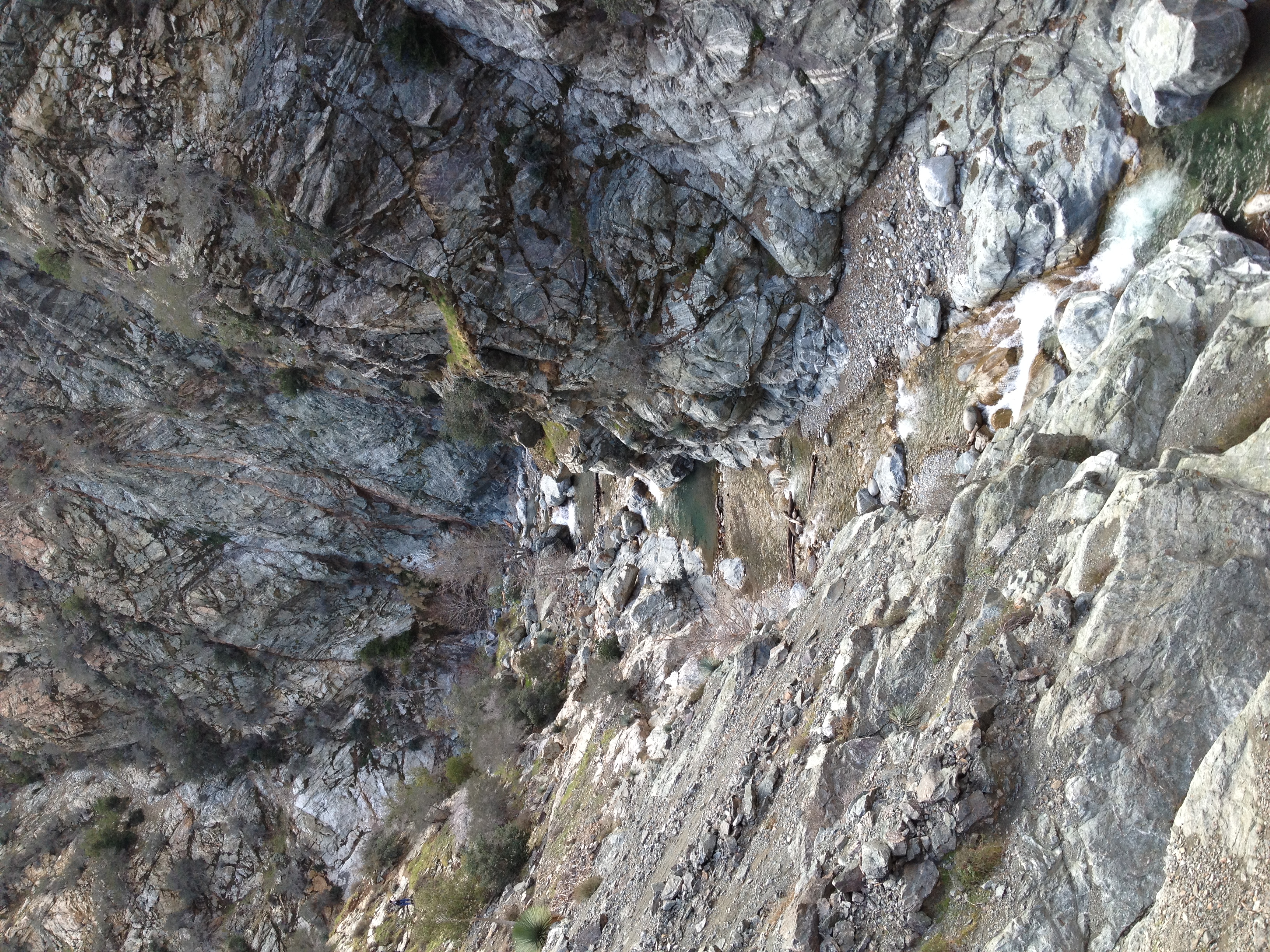
Starting to leave the valley and enter the gorge called "The Narrows". The trail has been mostly flat up to this point, but is starting to get steeper.
20 
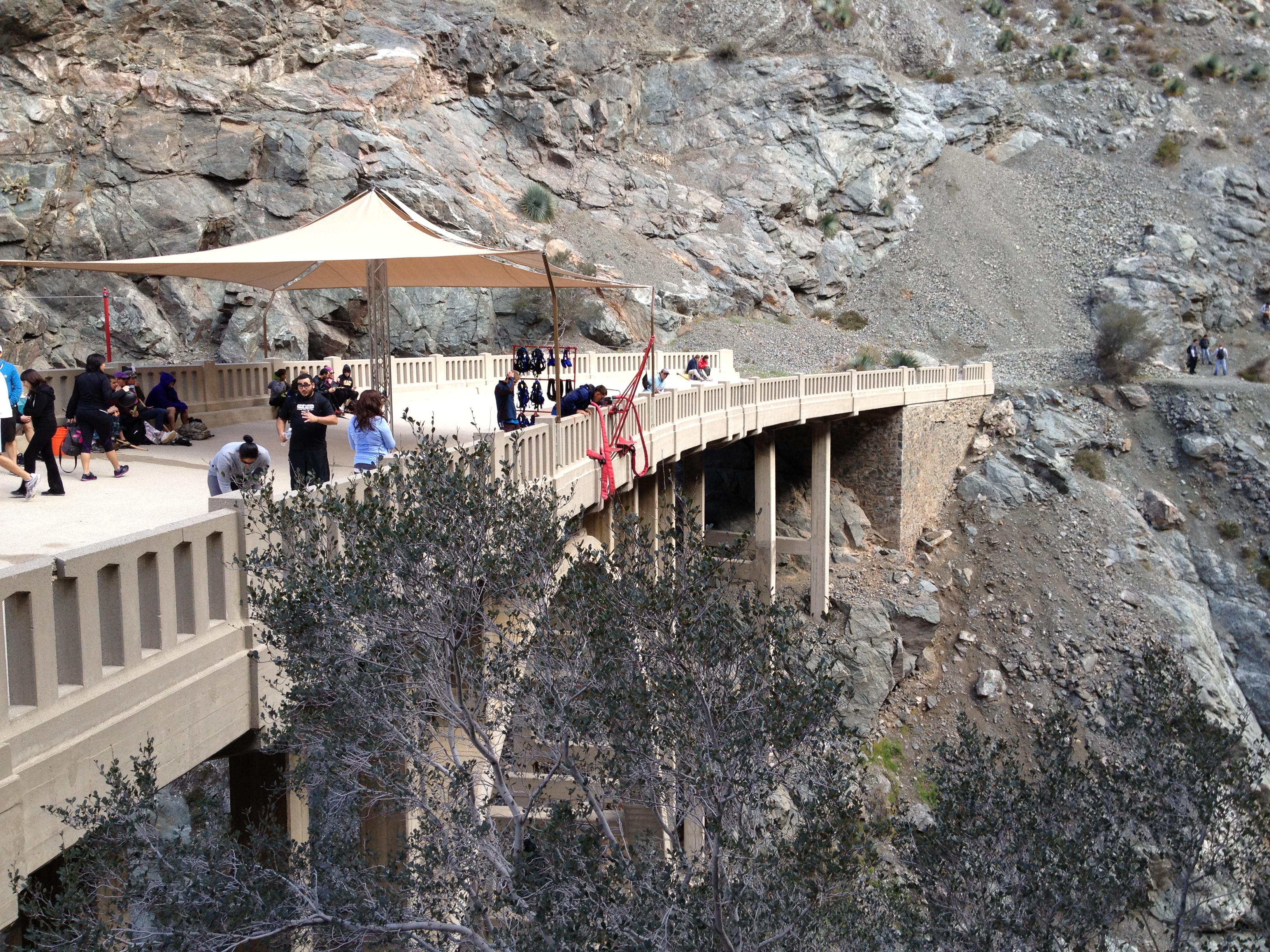
Made it to the Bridge to Nowhere. It's definitely well named. It pretty much runs right into a cliff and stops. I'm not sure why it was originally built, but it's now owned by a bungie jumping company.
21 Another view of the bridge. It's probably a couple hundred feet down to the rocks below. There's a group of really nervous looking people ready to start jumping.
22 A look down at the bottom and what awaits you if your bungee snaps.
23 A look down the other side.
24 I was hoping to get a video of some jumpers, but it was starting to get cold and I still had a lot of miles to run.
25 Headed back down I found myself crossing the river in places I hadn't on the way up. It's really easy to lose the "trail" through here. The narrow part of this tree is maybe 5 inches wide and is about 4-5 feet above waist deep water. That got the andrenaline pumping a bit.
26 On the way back, I took more of the trail above the river and avoided some of the water crossings. I was wet from the thighs down and my shoes were completely soggy at this point, and I was still only half done with my day.
27 My first ever Big Horn Sheep sighting! A guy on the trail warned me to be careful of big rocks being knocked off the cliff by the sheep. It's really hard to tell in the picture, but you could see it walking around on the face of this nearly vertical cliff wall.
28 Back down to Heaton Flats and now starting the second leg of my journey. The goal now is about 8 miles round trip to Heaton Saddle.
29 Nice green valley views. This is the fist half of the trail to Iron Mountain. Considered to be the toughest trail in the San Gabriels and the second toughest in Southern CA (behind only C2C).
30 Another valley view.
31 Entering the Sheep Mountain Wilderness from yet another location. But where the Bridge to Nowhere trail was fairly busy, I see only a few people on this trail the entire time.
32 Much different trail than Bridge to Nowhere, but nice single track nonetheless.
33 This is definitely one of the crazier trails I've been on. They seem to have designed the trail to intentionally go up and down these 100-200' high mounds along the ridge. This is the kind of evil elevation gain that doesn't show up easily on a topo map. At this point, I've come exactly 2 miles and 2000' of gain up the trail, and I managed to keep at least a slow jog going most of the way up both 1000' miles.
34 Another tough mound. It's a lot steeper than it looks here.
35 A look back at the ridge and the multiple mounds.
36 Heaton Saddle, my destination for the day. A rather anti-climatic destination, but it will have to do. The trail past here isn't even on the map, but it looks pretty easy to follow. I'll make the full trip to Iron Mountain next time.
37 There's some sort of storm coming-in and the temperature is dropping fast. It's into the 30s now, and I'm still in shorts and can't stand still for long. So I head back and make almost 3:1 time coming down to end another great day in the San Gabriels.