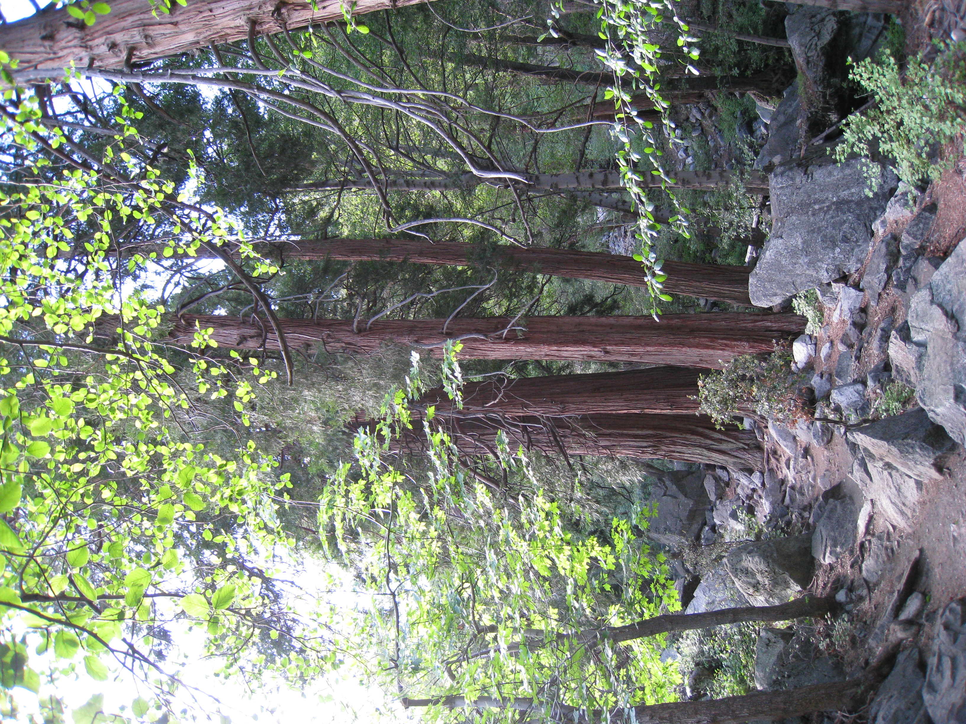
My first time up Icehouse Canyon and the Three T's without snow on the ground. It was fascinating to see where the trail really went compared to my free-form…
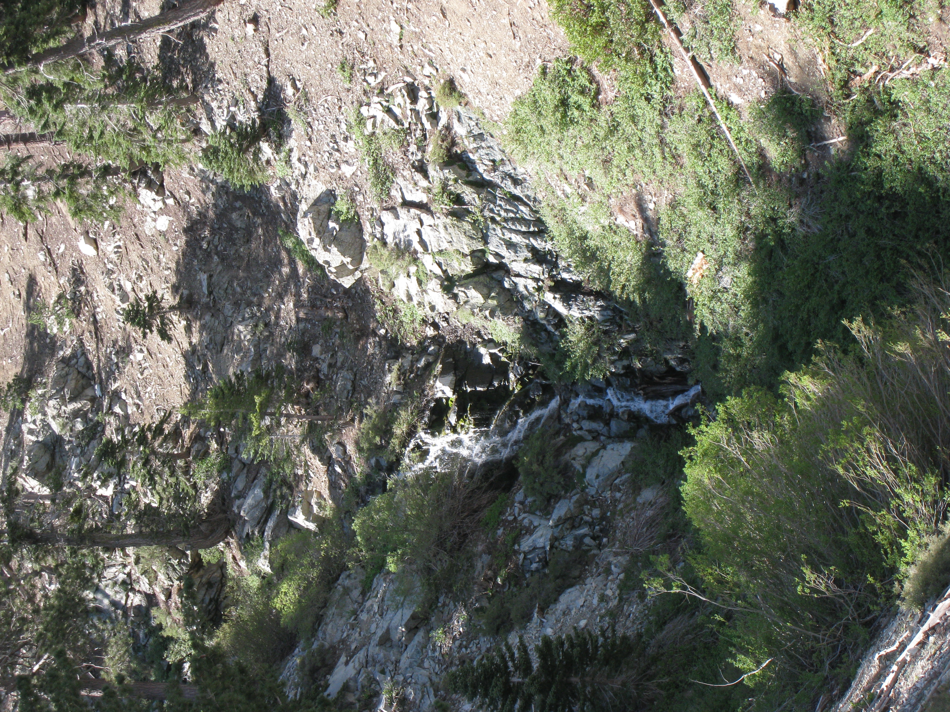
The cascades near the top of Icehouse Canyon.
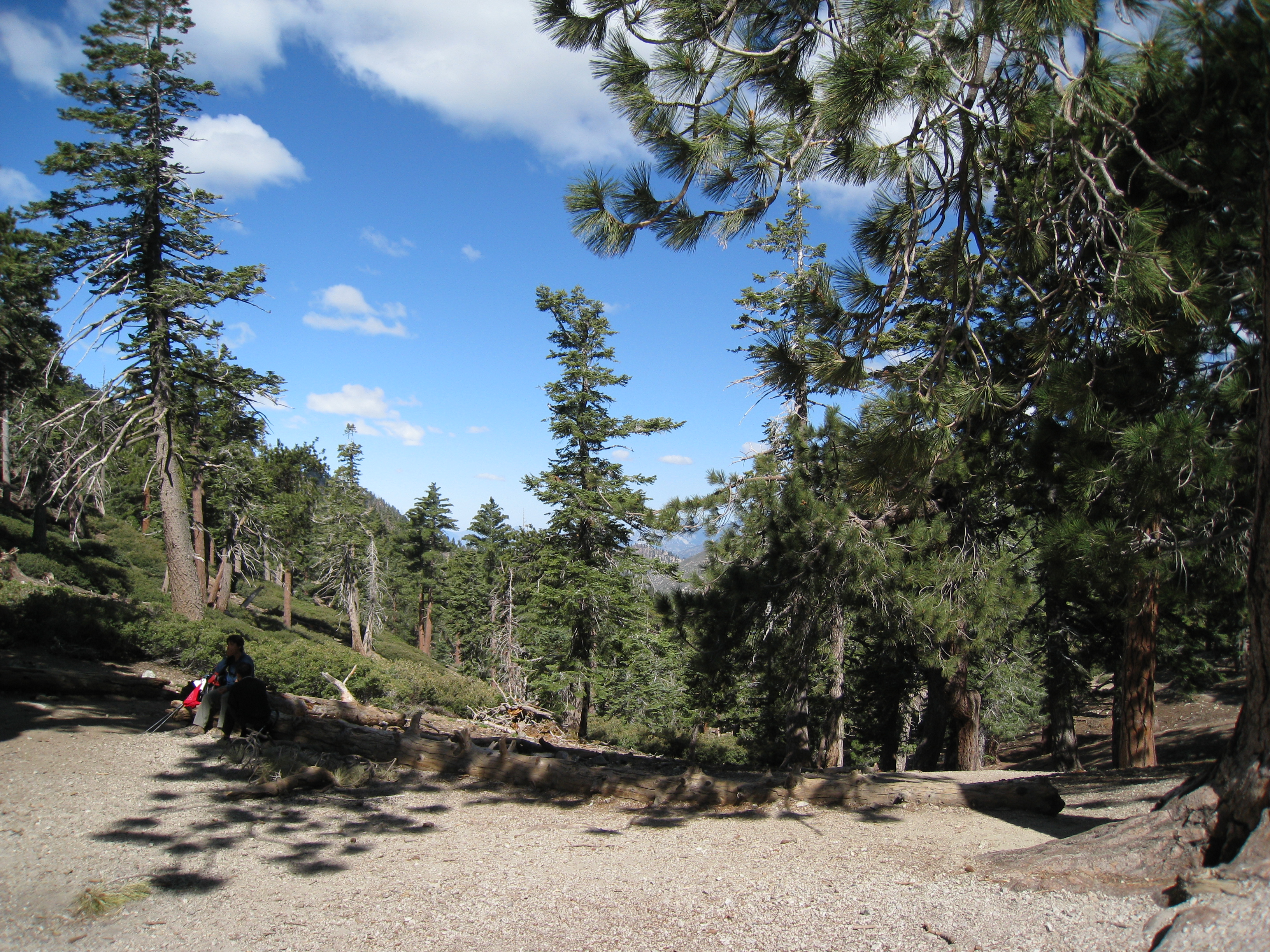
Made it to the Saddle in good time. It's a little bit easier without the snow!
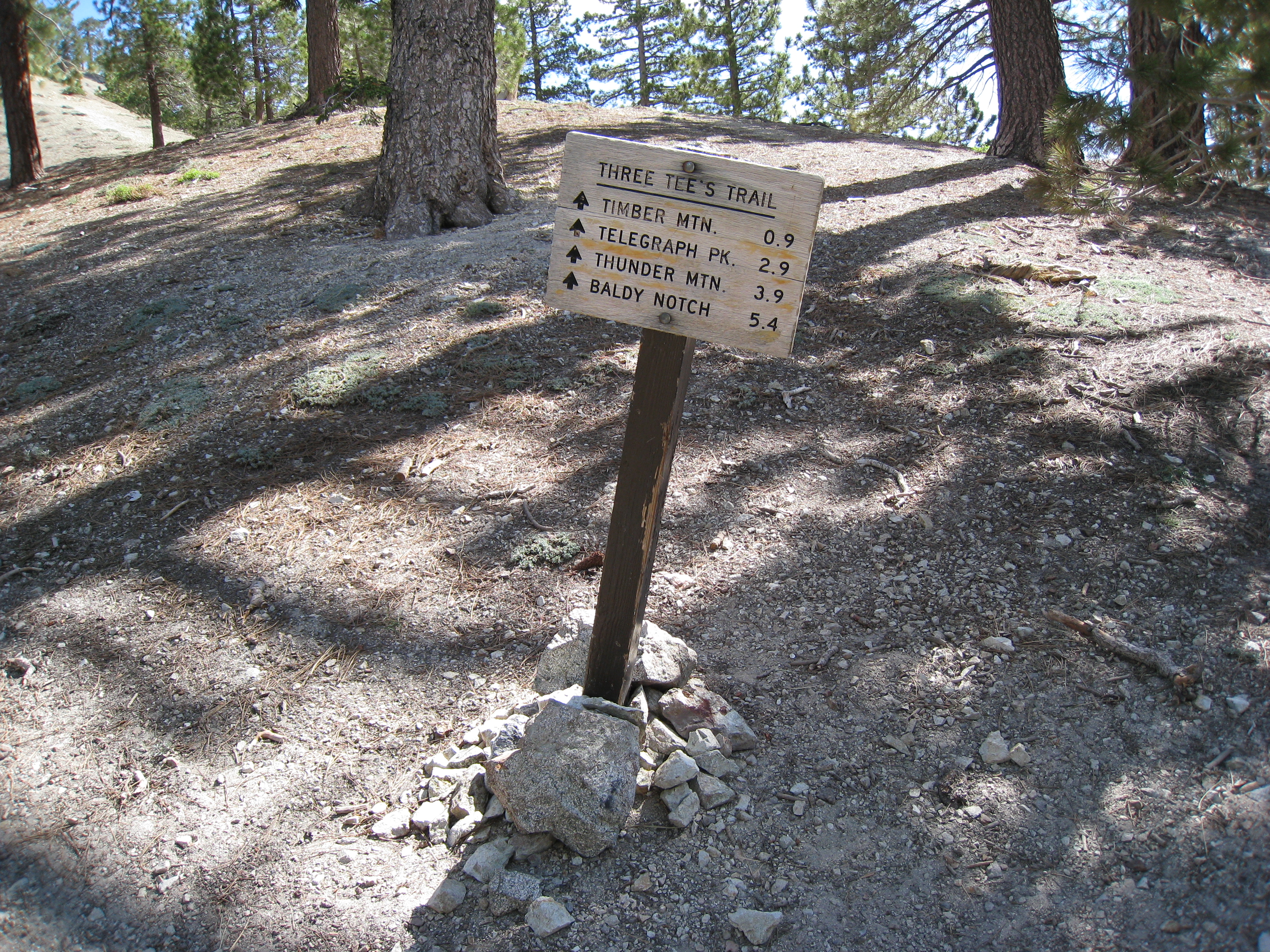
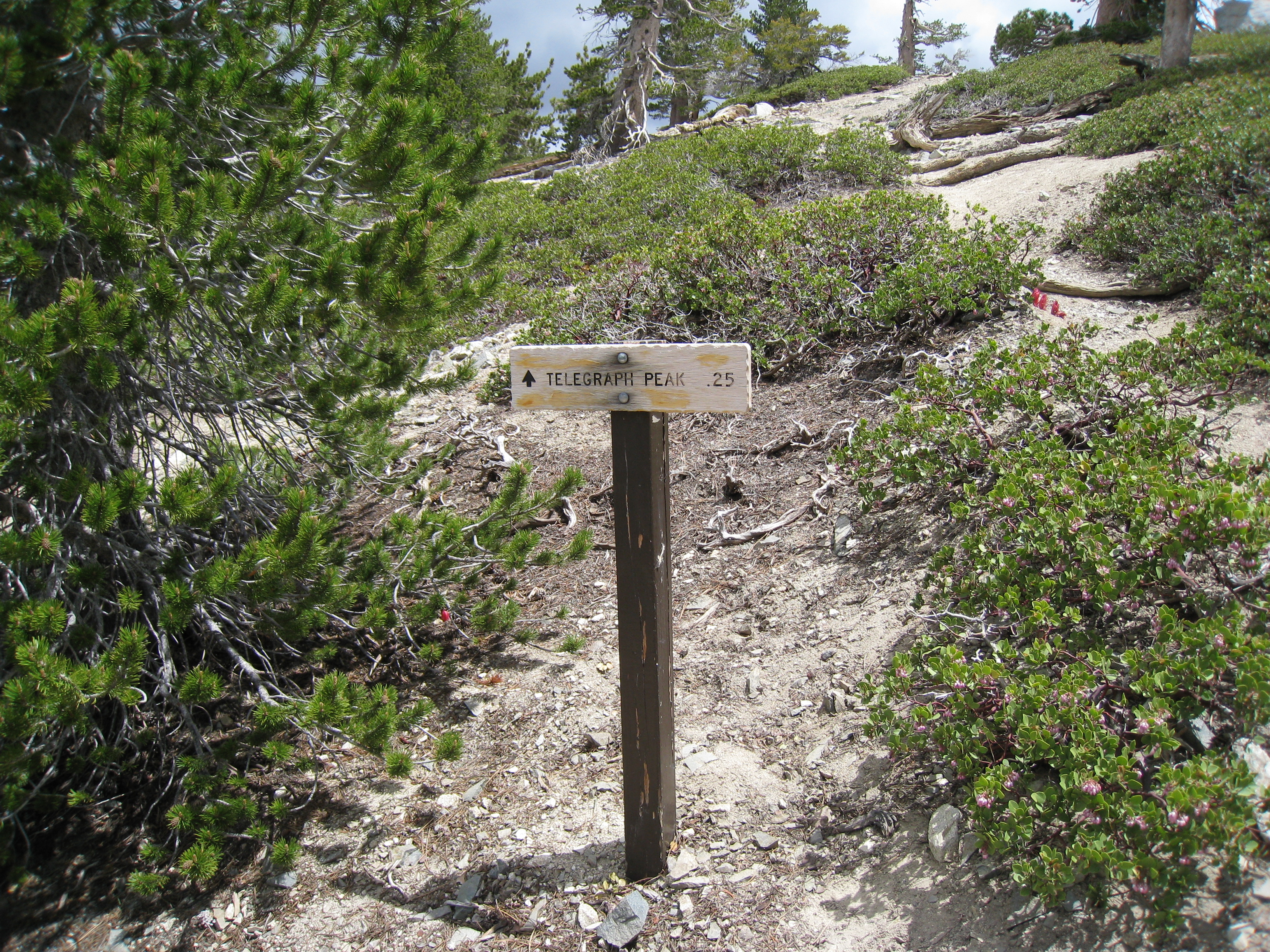
Start of the Three T's trail. This sign was almost completely covered in snow the last time I was here.
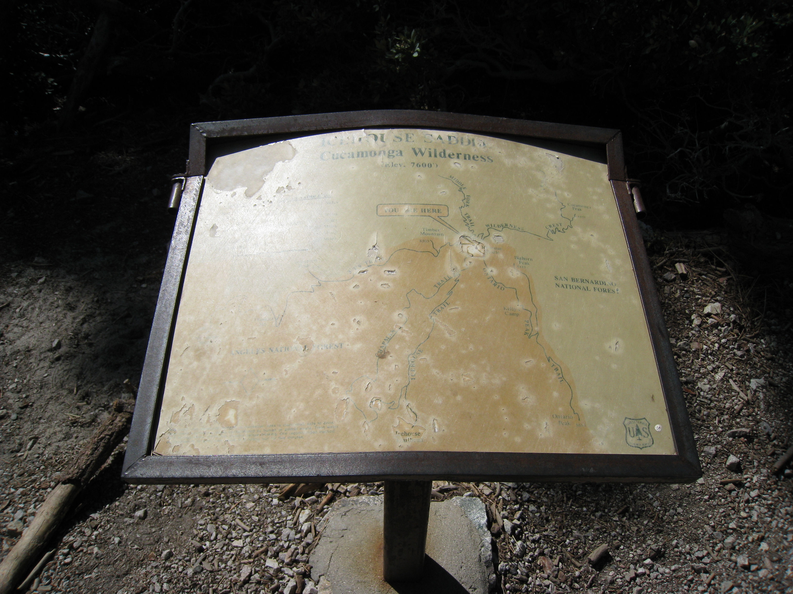
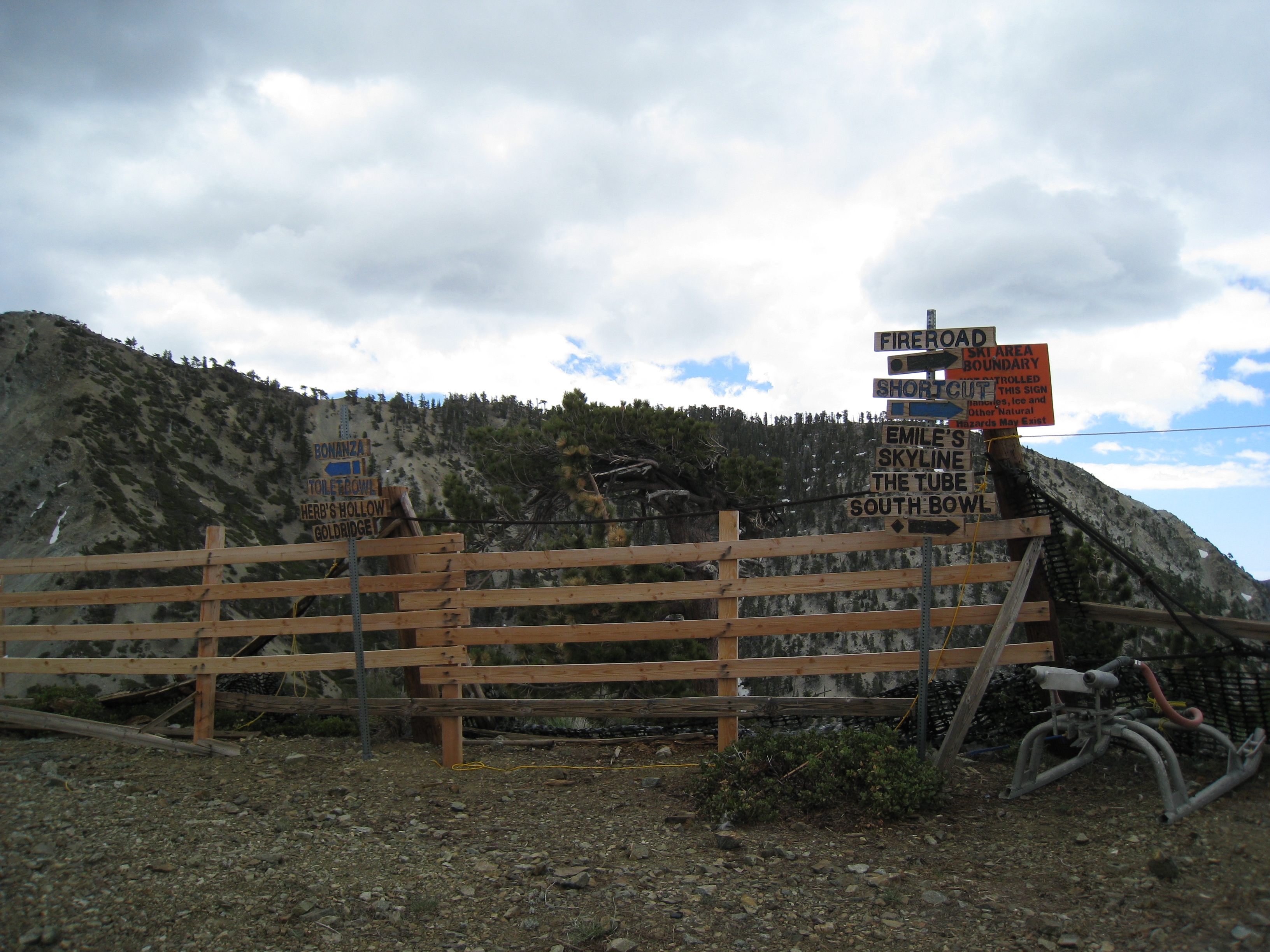
I had never seen this map sign before, it had been completely covered in snow the last two times I was here.
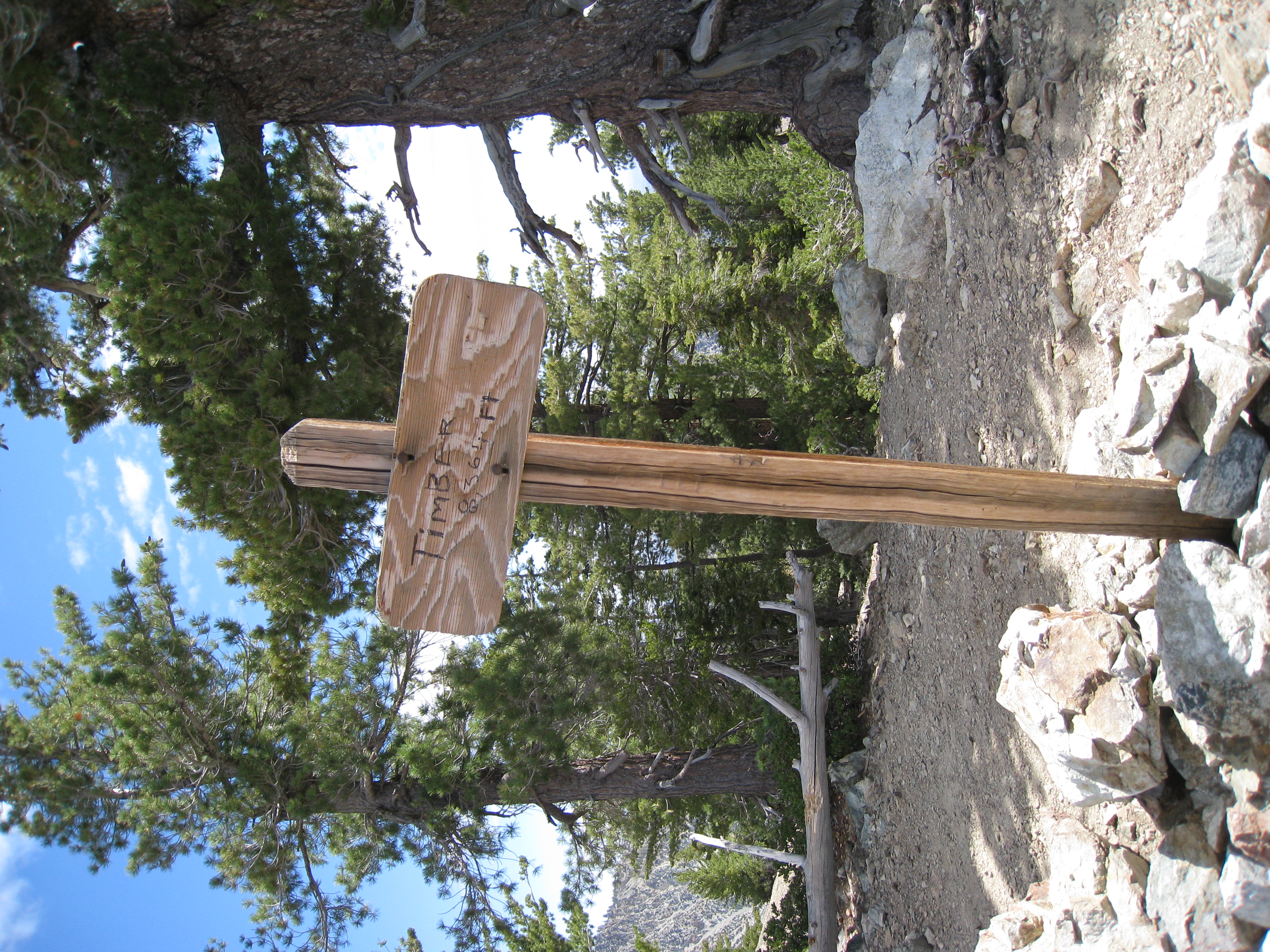
Made it to the top of the first of the Three T's, Timber Mtn. This was the eerily blank sign before. I guess somebody decided to scratch in the name.
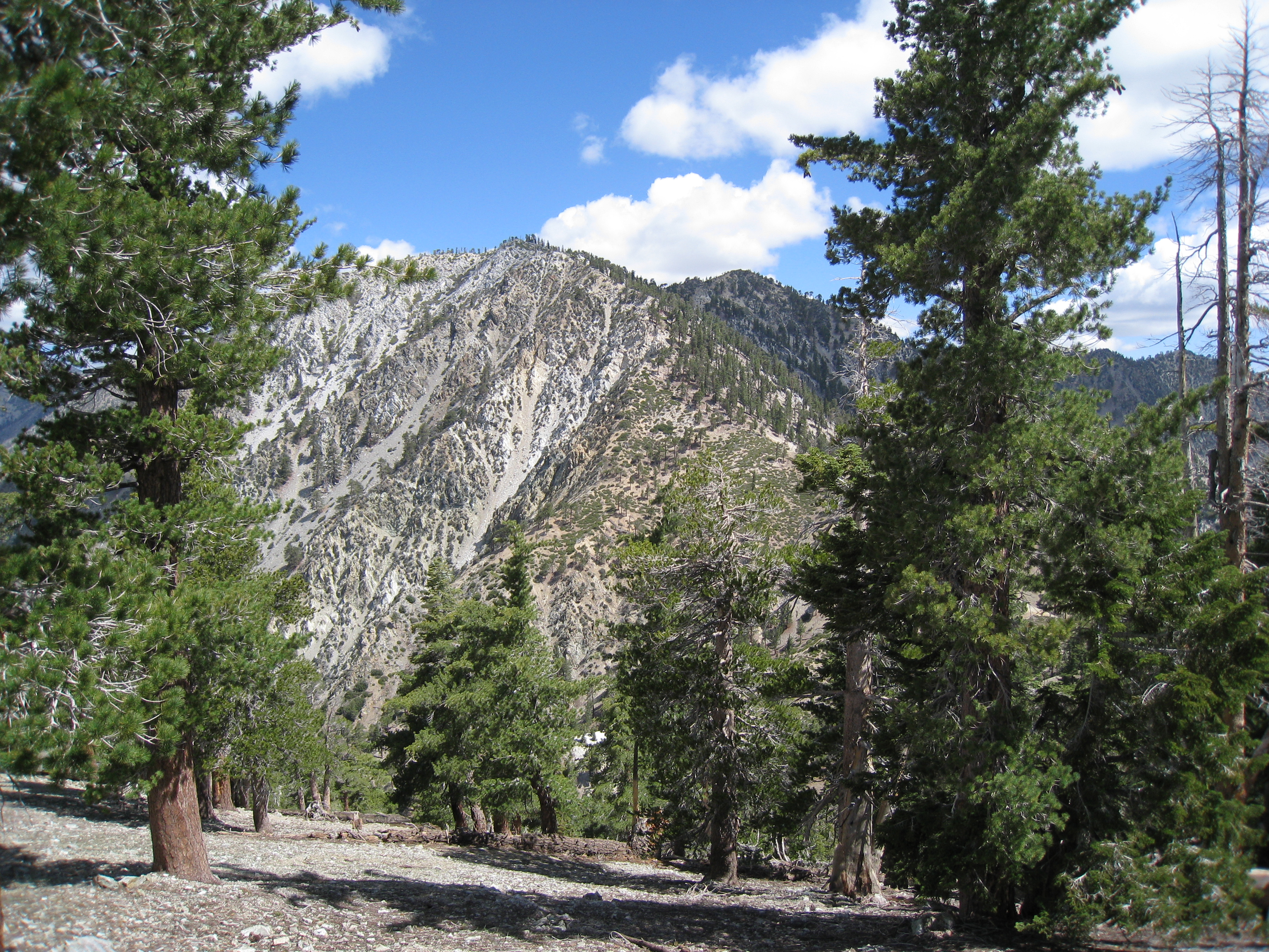
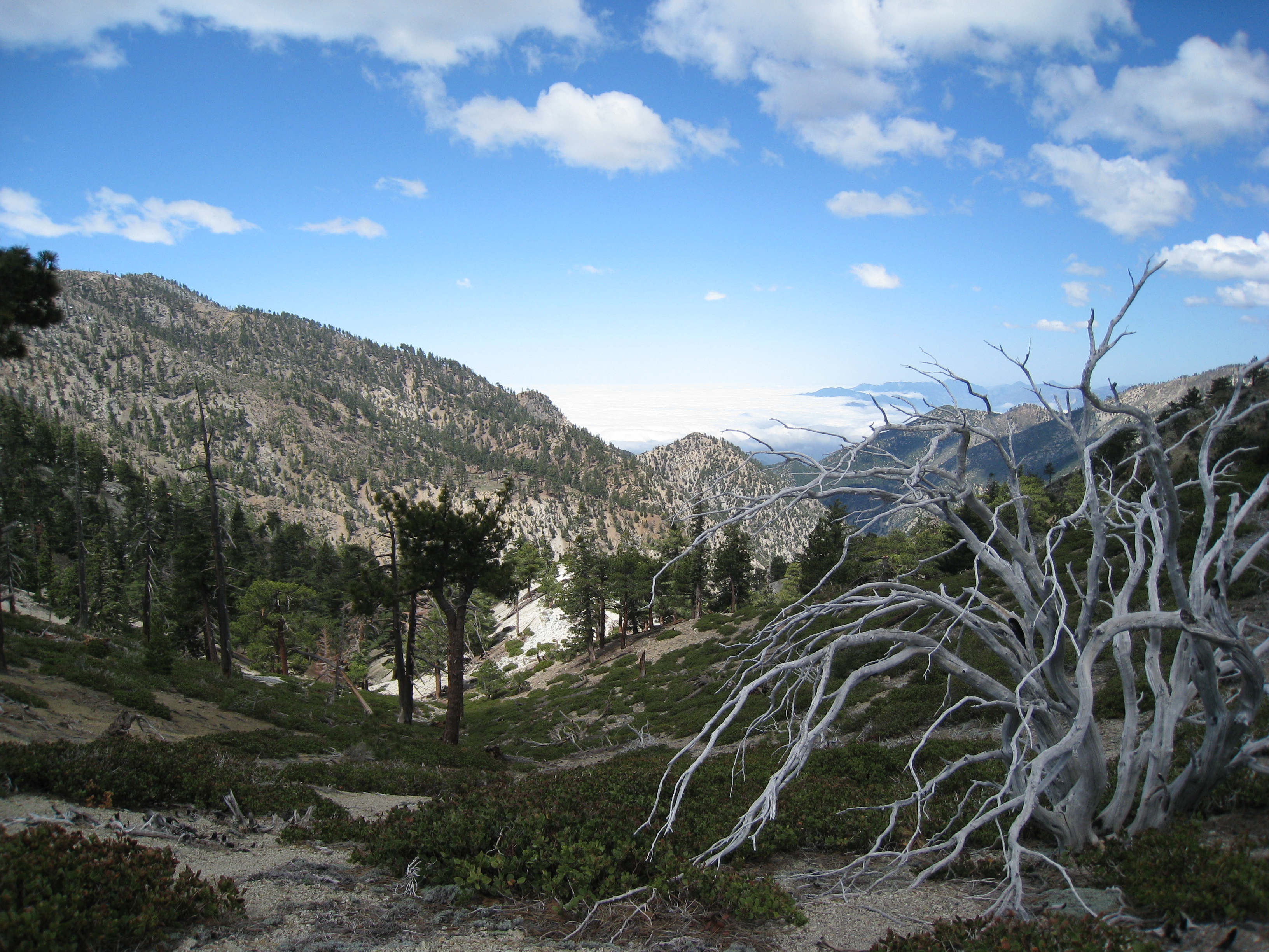
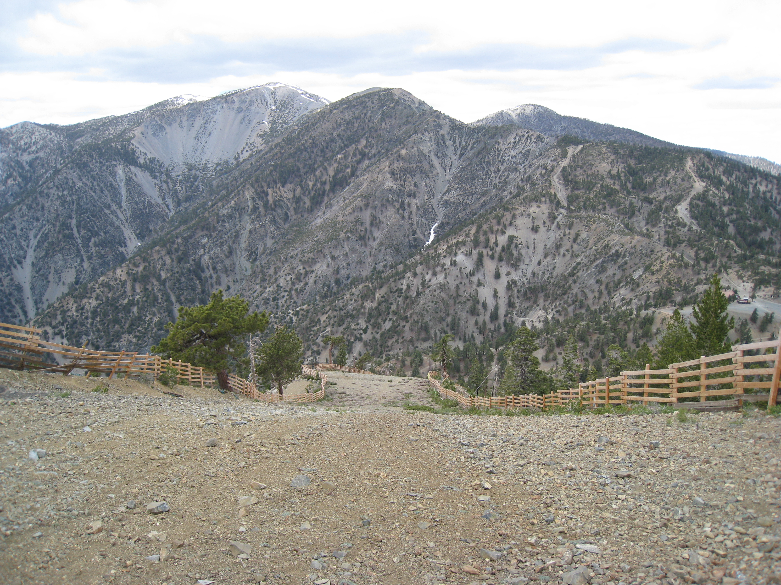
A look towards Telegraph Peak. You can see the steep descent to the saddle and then the climb to the Peak. In retrospect, I can't believe I actually did that…
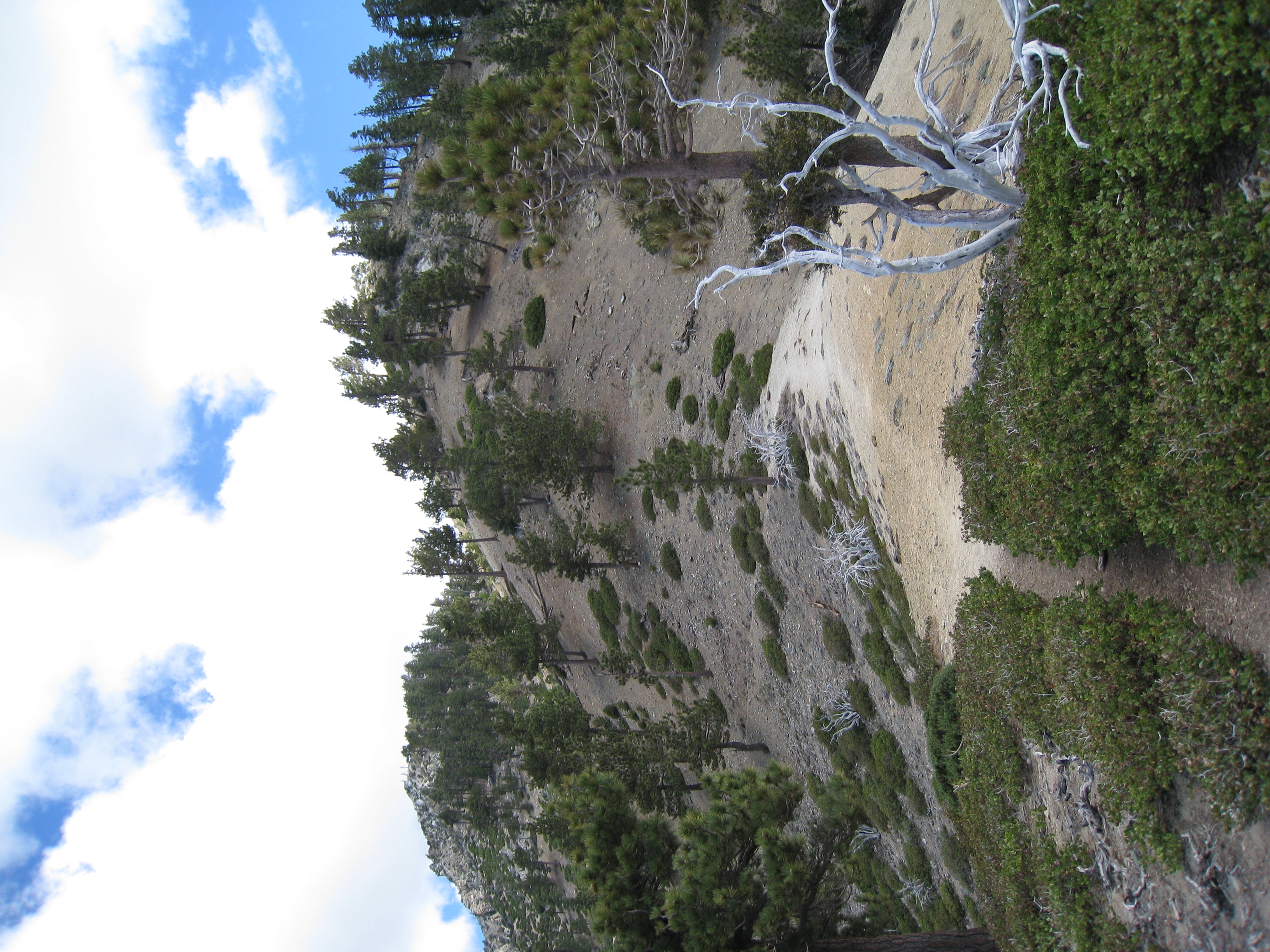
If you look closely, you can see how the trail cuts to the left alongside this peak. It then switchbacks up to the top. In the snow, my trail was straight up…
Almost the identical picture as my snow trek except without the snow.
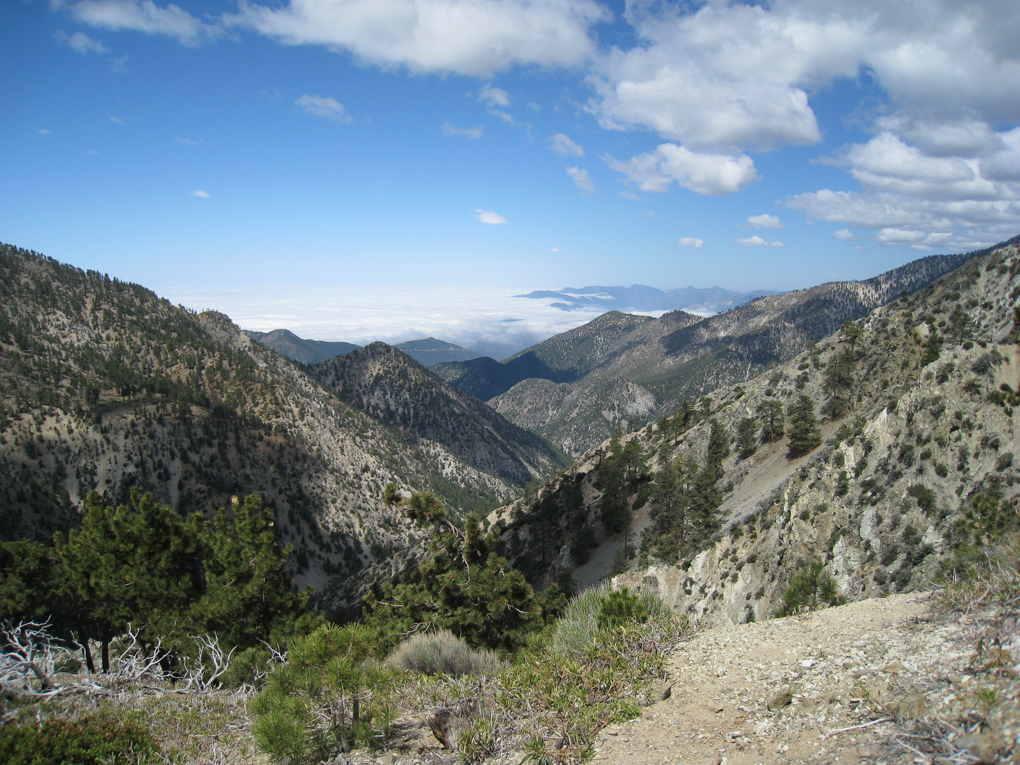
A look down the valley from near the top of Telegraph Peak.
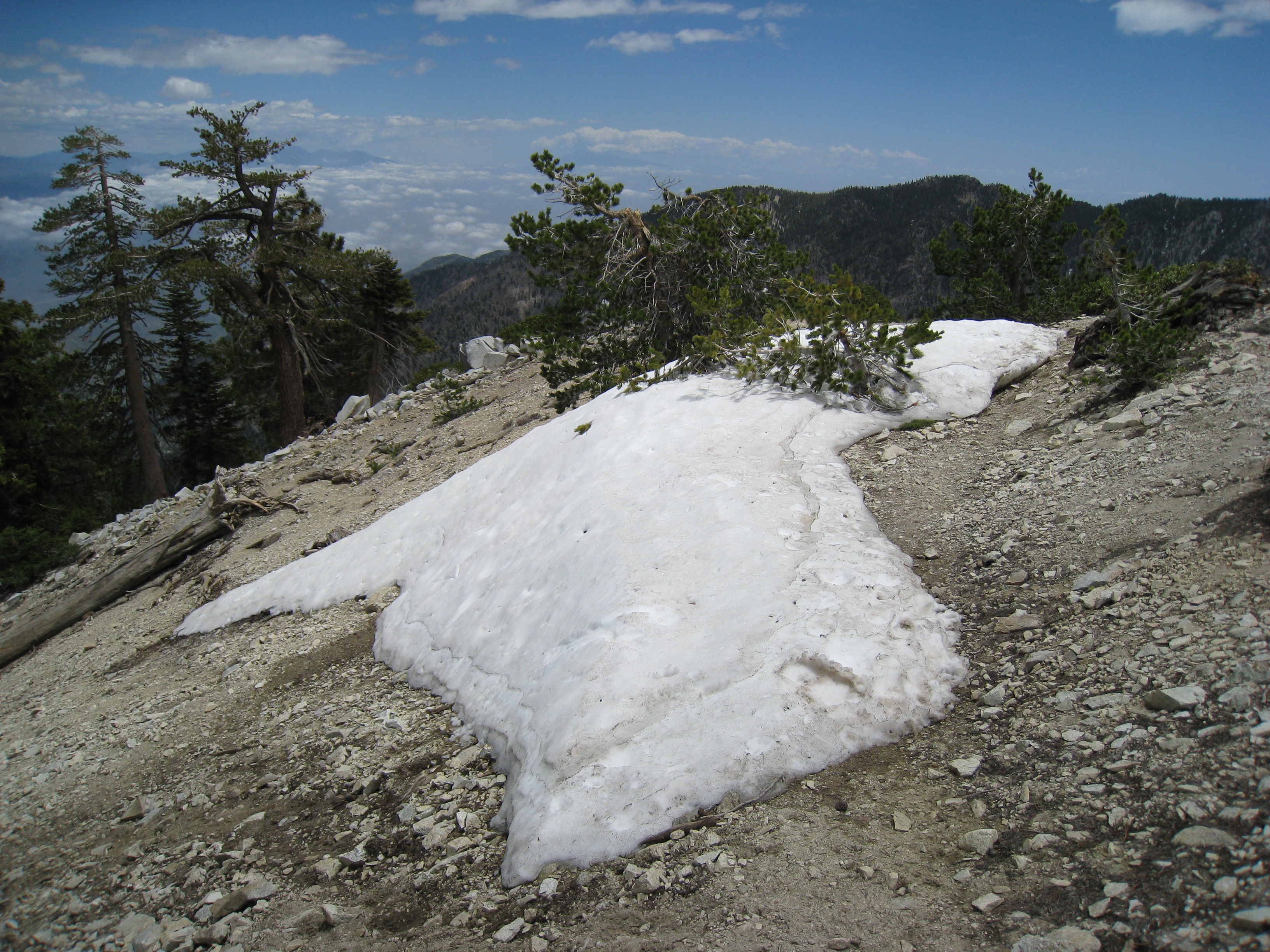
One of the few patches of snow left along the trail.
I was at this exact spot and never saw the sign before. It was entirely covered in snow last time.
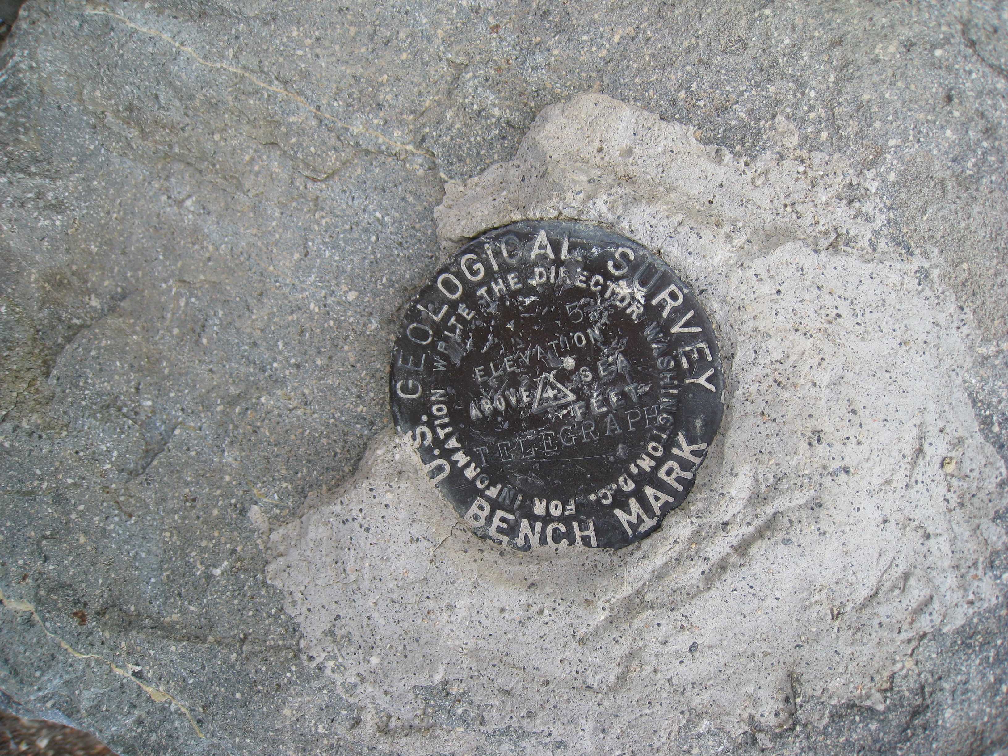
The official geological marker on the top of Telegraph Peak. 8985'.
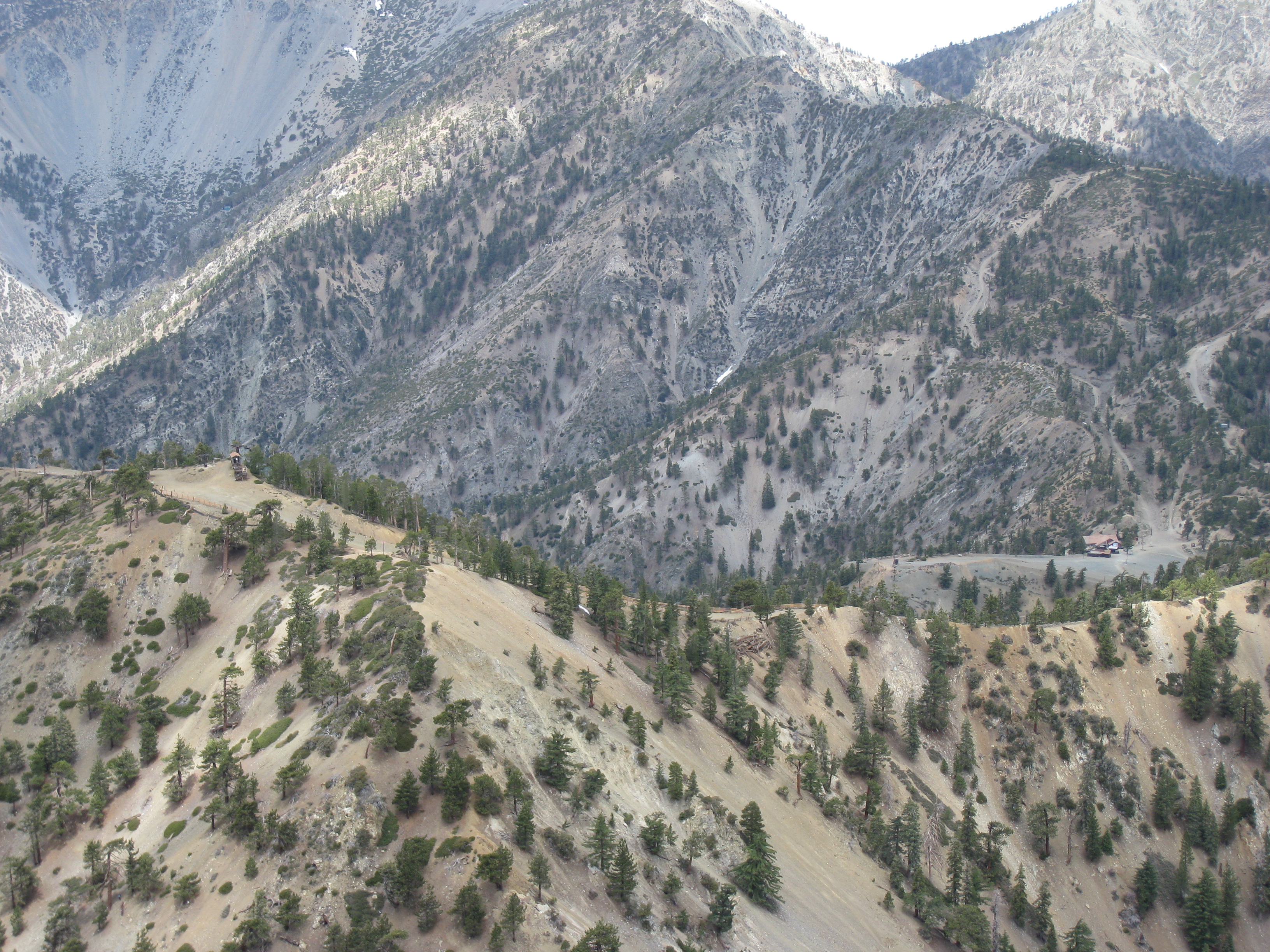
A zoomed-in look at the ski resort down below.
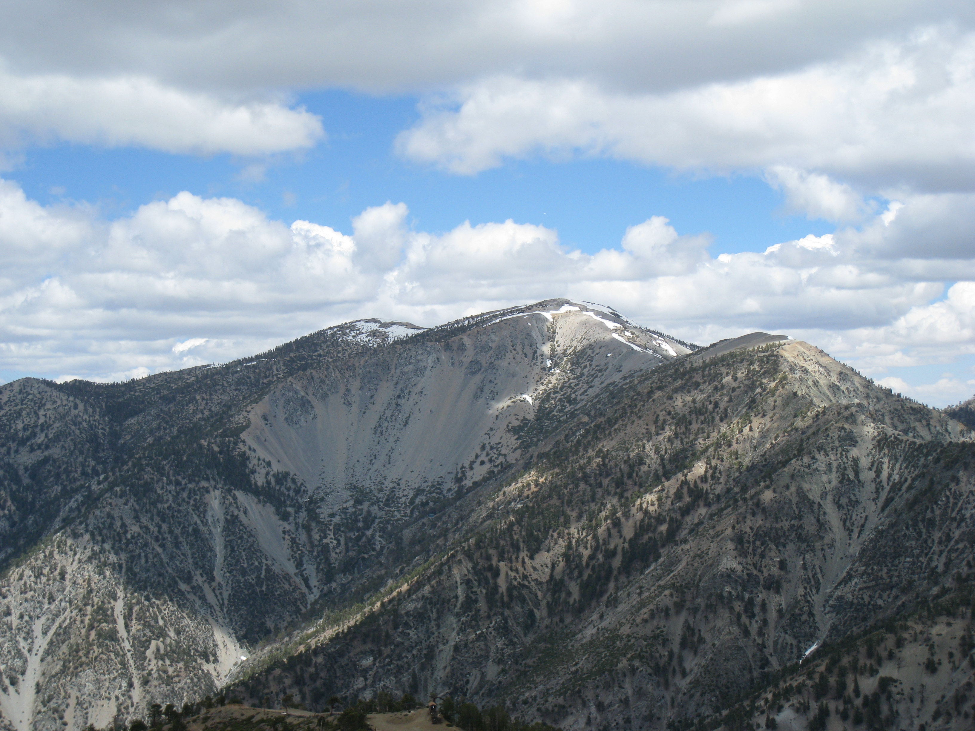
A look at Mt. Baldy from Telegraph Peak. Still a decent amount of snow up there for the middle of June.
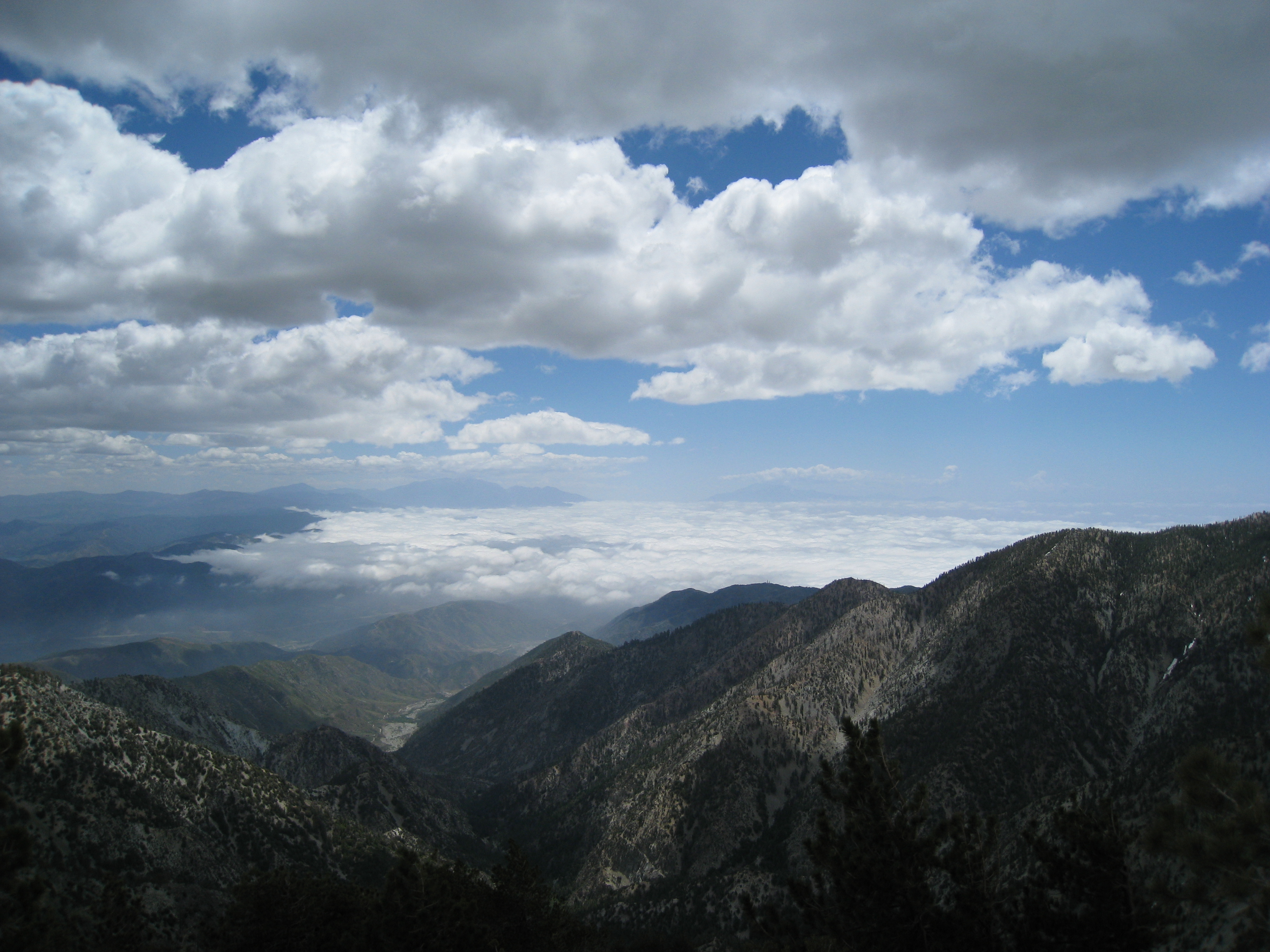
Above the marine layer at the Peak.

The 360 panorama from the top of Telegraph Peak. You can hear people talking about taking the ski lift back down from Timber Mtn. Cheaters!
Made it to the top of Timber Mtn, which also happens to be the highest point of the Mt. Baldy ski resort (about 400' below Telegraph Peak). So this is what a…
I'm not sure which ski run I just ran up. Most people would probably think it's a lot more fun going down in the snow, but not me!
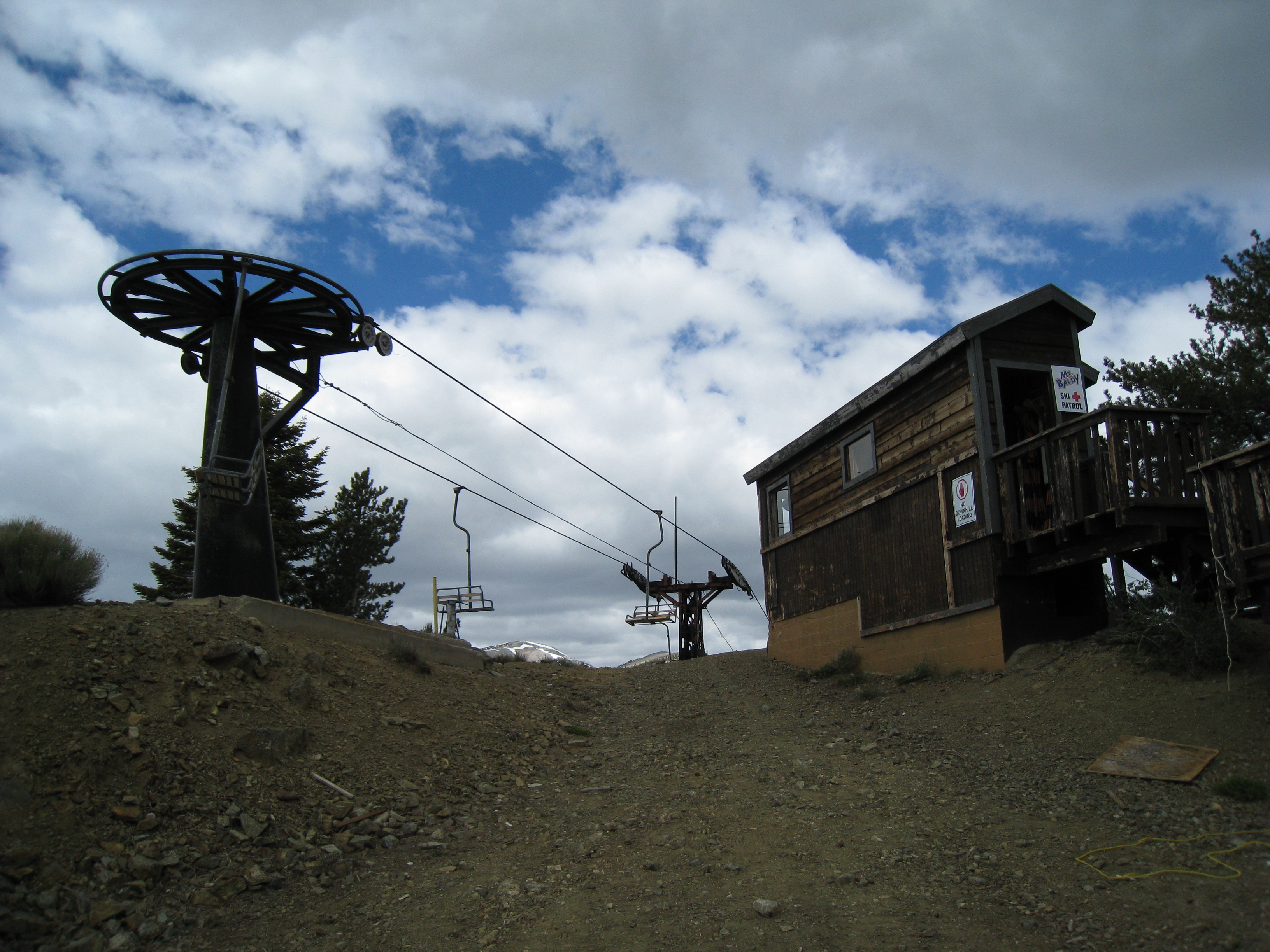
Top of the ski lift.